2. 20/3/2019. Trampers. Thornicroft Station. Leader: Jill R and Sue.
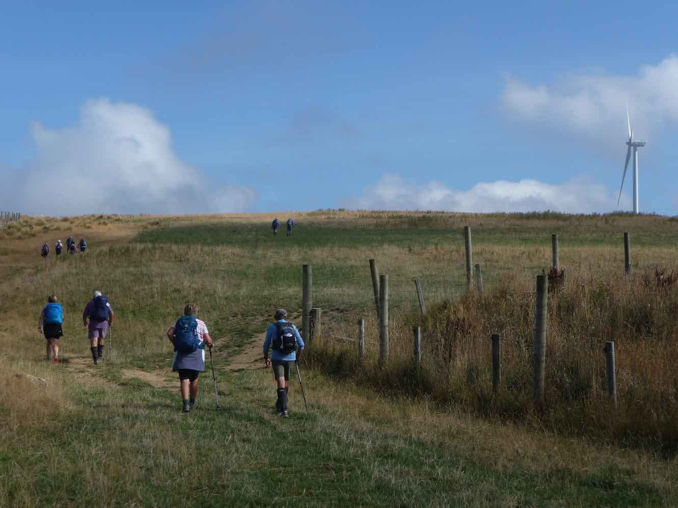
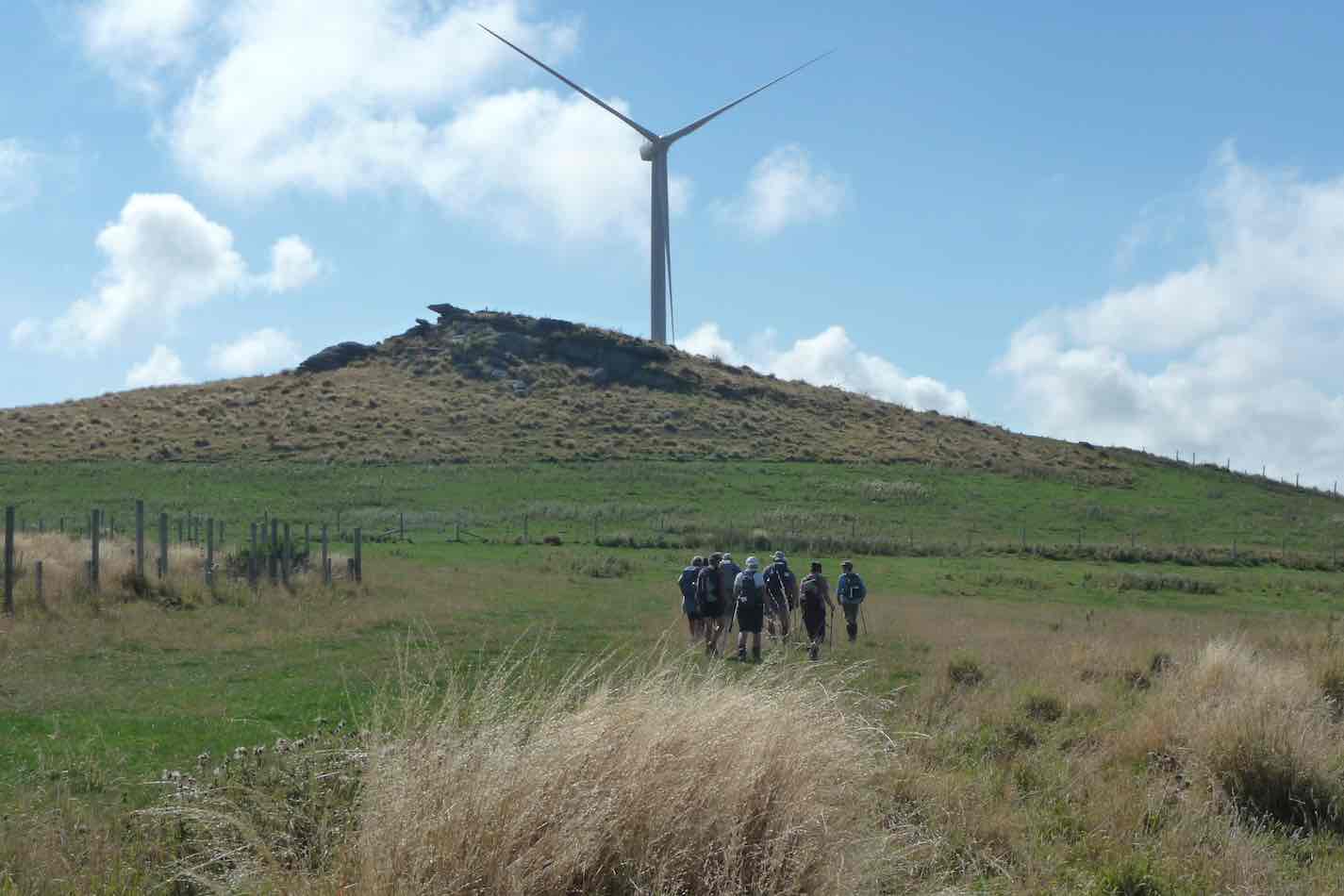
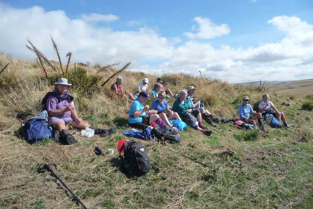
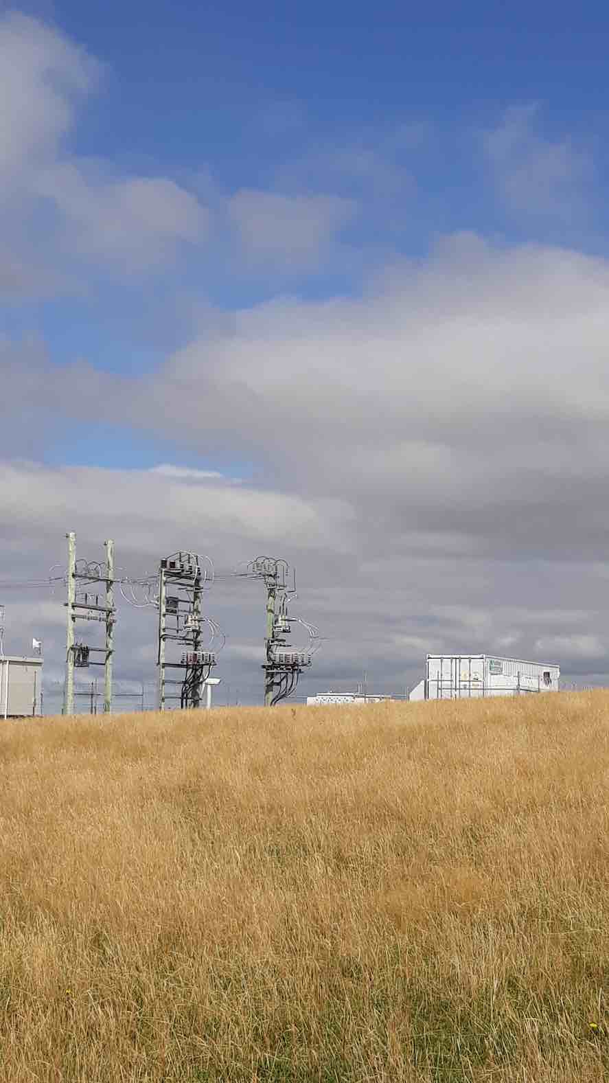
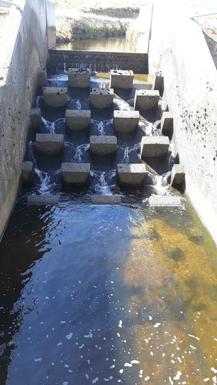
1. 12/10/2011. Both. Mahinerangi Wind Farm. Leaders L Smith, N Buckley
Mid-week recreational and social walking group based in Mosgiel NZ
2. 20/3/2019. Trampers. Thornicroft Station. Leader: Jill R and Sue.
1. 12/10/2011. Both. Mahinerangi Wind Farm. Leaders L Smith, N Buckley
3. 13/2/2019. Trampers. Mountain Road to the Silverstream. Hard. Bus. Leaders: Arthur and Eleanor.
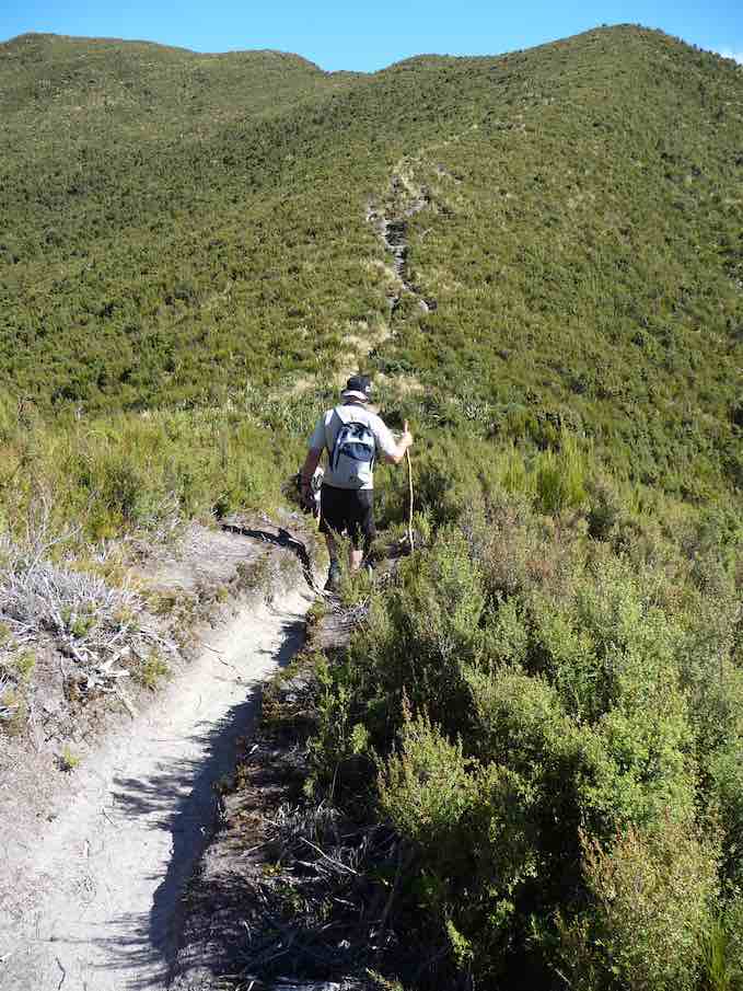
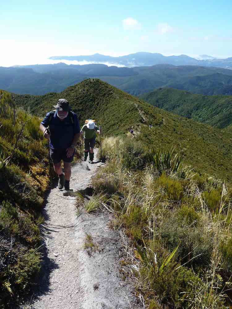
Eventually we made it to the top, several going to the summit of Pulpit Rock (760 metres – we had started the day at 400 metres.)
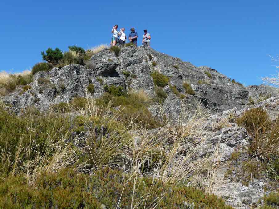
The others were content to wait and rest on the track below, and all had earned a good rest.
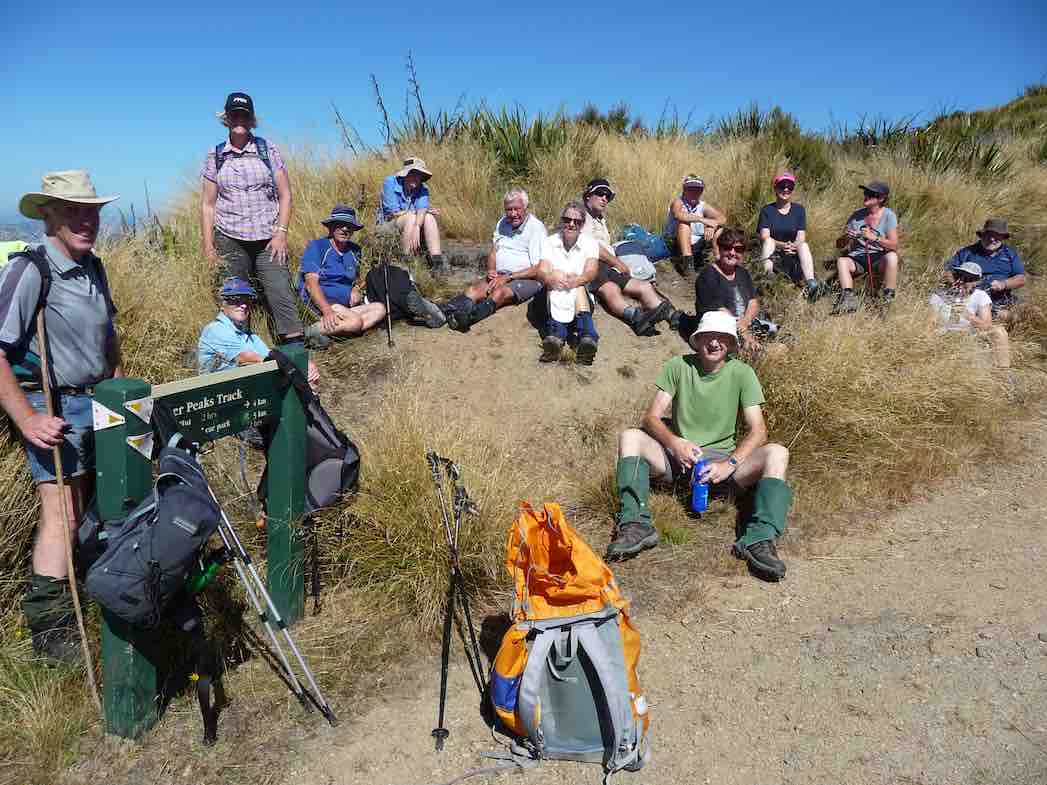
At 11.55 a.m. we began the descent down onto Long Ridge. Altitude is lost quickly at first, and the track had been well cleared here.
The walk down Long Ridge was most enjoyable, although it was through knee high grass mostly. The lunch stop was called at 12.30, when a suitable shady spot was found. A very enjoyable half hour was spent here.
At 1.25 we had climbed up off Long Ridge onto the highest knob of Powder Ridge (586 metres) and taken a last view of the Pulpit. The cloud was building now on the windward side of the Silverpeaks and Swampy, with its pleasant cooling breeze accompanying us.
The final leg of our tramp was now down Powder Ridge, and a new rope was a great assistance going down the first brief steep bit.
The track undulates, always trending down, but with some brief climbs up a knob before descending once more. It is a beautiful track, and the N.E. breeze was filtering through the trees to help cool us.
Rest and regrouping stops were made at 2pm and 3pm. It is a long way down Powder Ridge, but the time eventually came for the final steeper descent to the bottom of the track.
Easy going now, we crossed the Silverstream at the old weir,
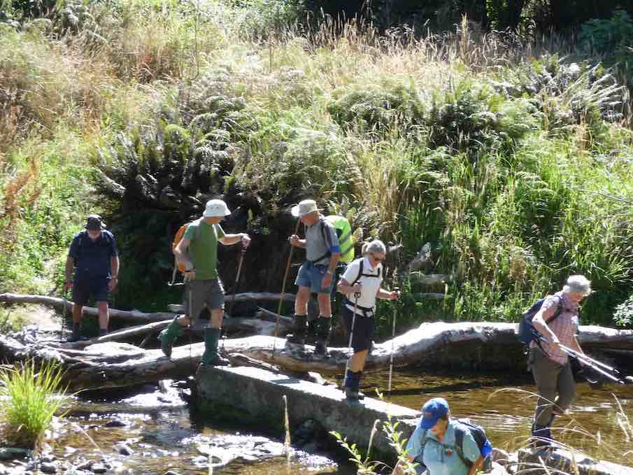
and onward, arriving at the car park at 4.20 – tramp complete (at 100 metres altitude). The distance metres stated 19 km -what a great effort by the group. Congratulations to all for completing it.
A special tramp indeed!
And thanks to Eleanore for helping organise the day so ably. And also to Gordon, Dave, Alan, and Art. for getting up early to position the cars at the Pumphouse, so that we could all return to Mosgiel.
What a great day it was.
Thanks to all the group. – Art.
2. 15/10/2003. Trampers. Semple Road to Whare Flat. Hard. Shuttle. Leaders: Lex, Wendy J, Evelyn C.
1. 25/2/1998. Semple Road to Pulpit Rock, Long Ridge, Whare Flat. Bus fare to be arranged. Leaders: Jack R, Nelson, Claude.
12/11/2018. Hollyford Camp. M. Phil.
Trampers: 12-16 Nov: Hollyford Camp. M. Phil.
Hollyford Escapades: 12-16 November 2018
Planning to execution seemed to go very well as everyone was at Waihola early….. this being a trait that continued for every start during the week.
18 intrepid walkers in 6 cars set off and bang on time arrived at Cocoa’s Café at Mandeville airport for a necessary kick start to getting to Te Anau reasonably refreshed. First stop was at the DOC I-site to get hut tickets and check the weather, then it was food and petrol top-ups plus a visit to the best public loos in the world for most – albeit some of us had to go back to the car to get the entry gold coin!
The clearing weather meant the drive up through Te Anau Downs and the Eglinton Valley was pretty well up to the Mercedes car advert standard, then after a brief stop at Knobs Flat we arrived at The Divide. With clear tops on the Livingstone Range, it was decided to attack Key Summit,
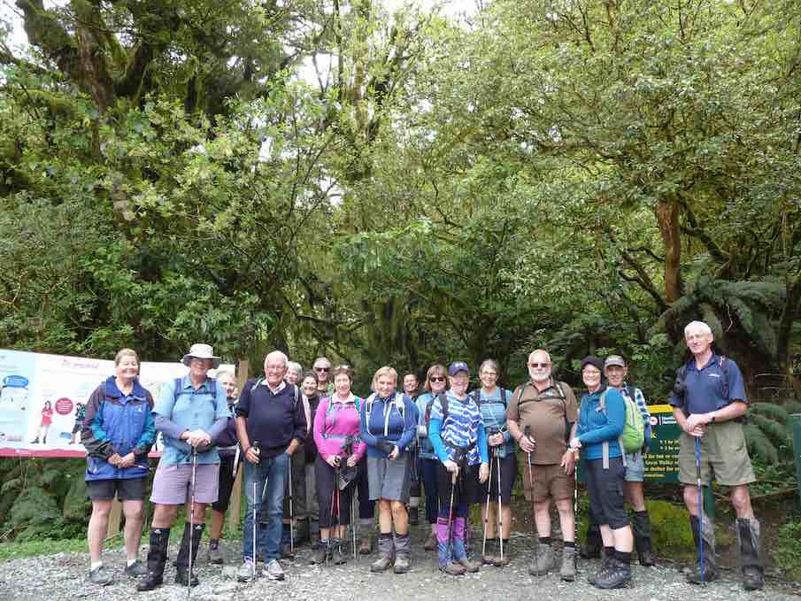
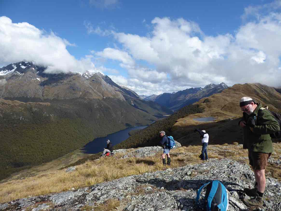
initially via the Routeburn/Greenstone track, before branching off on the zig zags to the Summit and, for some, beyond the well known tourist look out. The group split into 3 as each limit was reached; lovely views of Lake Marian, the Darrans, the Hollyford and also the Greenstone Caples were in view and appreciated.
We finally descended in good time and once back in the cars, moved into the Hollyford proper. Turning right into the Lower Hollyford Rd we stopped, read and discussed the memorial to Davey Gunn that celebrated his 56 mile journey over bush tracks from Big Bay to the Milford Rd in 23 hours to raise support for the injured in a plane crash there. What the books don’t say is Davey had a cuppa then returned to Big Bay to carry on his guided trip… he had also cracked some ribs getting plane passengers from the crash in the surf….
Finally we arrived at Gunn’s Camp and settled in to our ‘little huts on the Prairie’…… followed by good craic and a variety of well cooked dinners.
We were at the Lake Marian track ahead of time on the Tuesday morning, everyone keen to get going. Crossing the Hollyford River involved the first swing bridge for the week, then some time was taken on the Gantries overlooking the tumbling waters of Marian Creek;
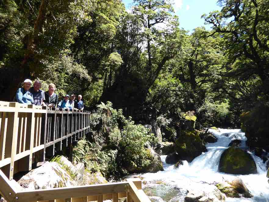
from there it was a steady 2 hour walk up to the Lake, to be greeted by emerald clear water and towering peaks,
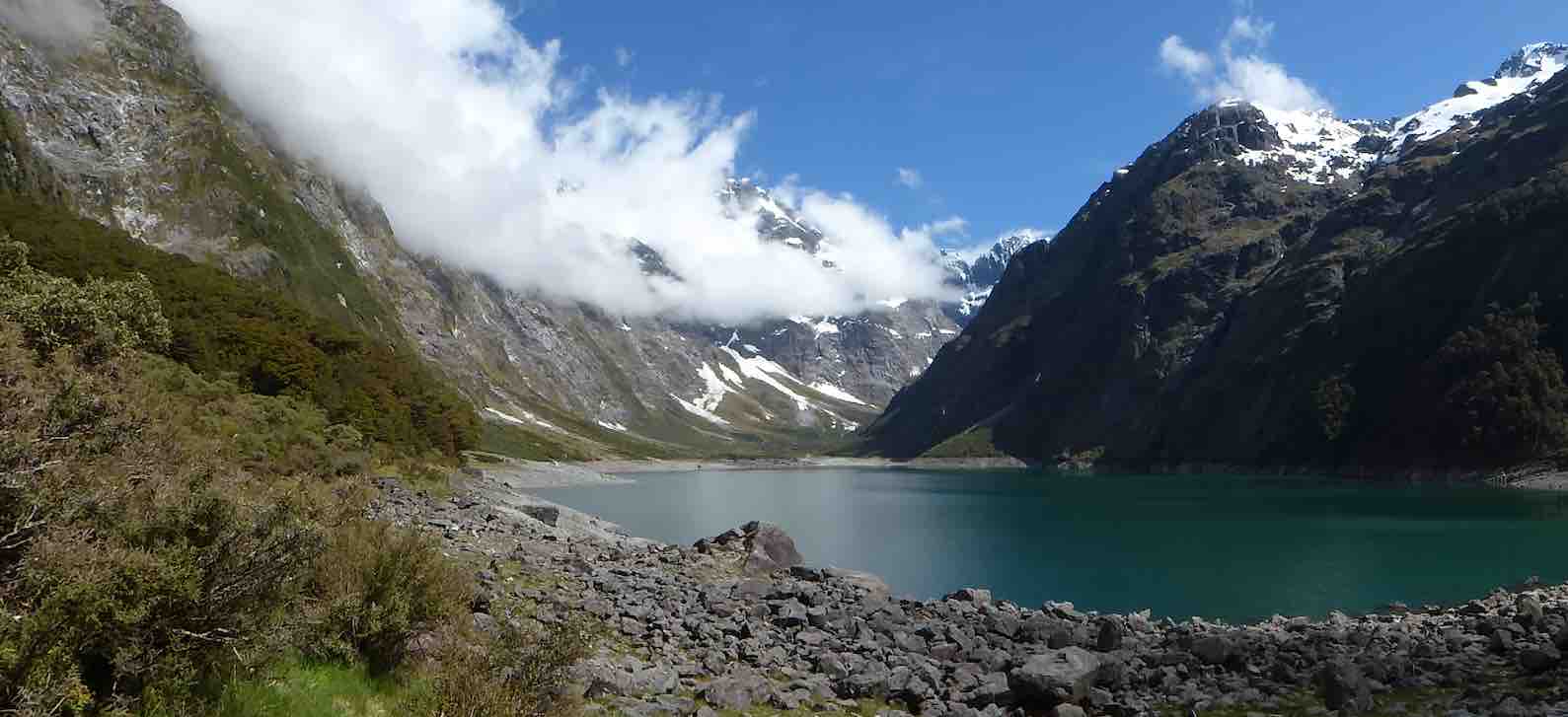
capped off by some loud avalanches at the top of the valley (they resembled large waterfalls). We stayed here for a good 40 minutes enjoying a very special environment, before returning.
It was a sign of the nature of the track that the return time was also 2 hours……
After lunch, having ensured that no-one laid down on their bunk, we travelled up the Upper Hollyford and just before the Homer Tunnel, veered off to park in the Gertrude Valley carpark. We then rambled a while to the base of the Saddle, enjoying the amphitheatre of surrounding peaks as well as the early celmisias, ourisias and Mt Cook lilies that were smiling back at us.
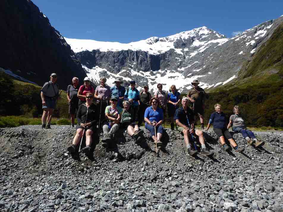
Once back at the cars we returned to Camp, allowing for a short stop at Falls Creek where new carparks and Gantries have ensured another great stop on the Milford Rd.
The Camp was busier on the second night with the Stray Bus arrival, plus some trampers who had arrived from the Demon Trail, telling of tall stories and lots of trees over the track, and loads of hunters and jet boaters in the huts…
Wednesday dawned fine and we travelled to the road end, where we set off to enjoy the Hollyford Walk;
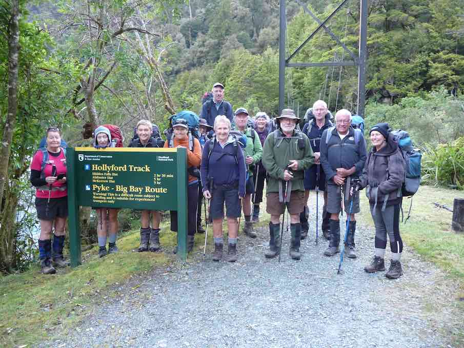
guarded over by towering mountains named mostly after Ngatimamoe and Ngai Tahu chiefs intersprinkled with mountains named after bureaucrats, nieces and mothers;
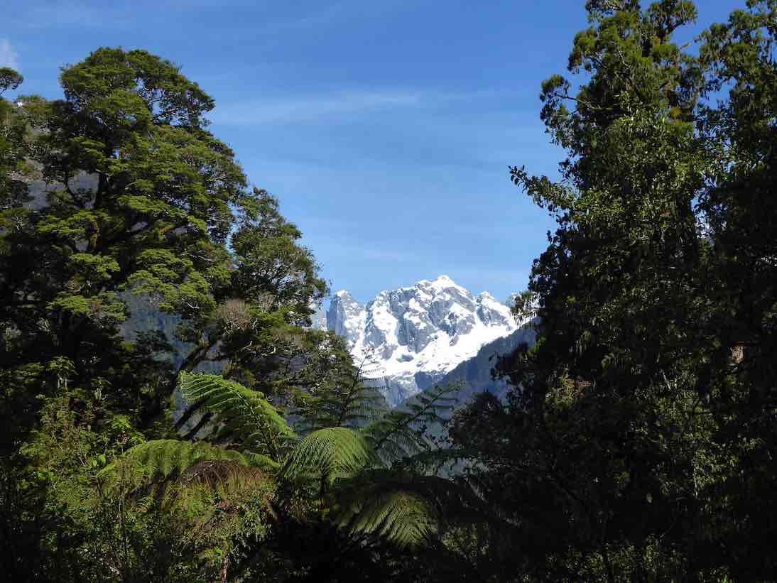
we rambled through forest of Beech, Miro, Matai, Totara, Kamahi and Rimu, finally arriving at Hidden Falls Hut for lunch (having already stopped off at the Hidden Falls to get showered upon).
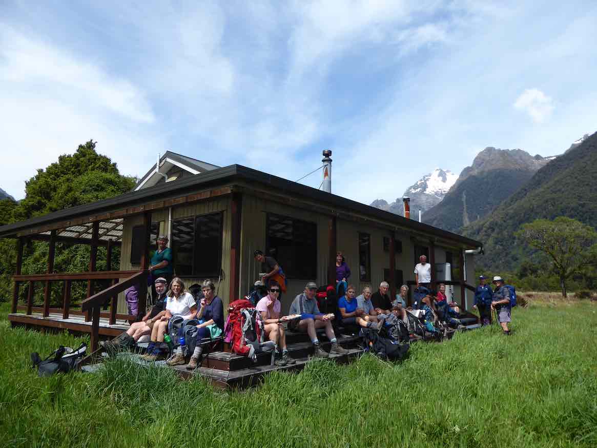
A few green hooded orchids spread throughout the moss and liverwort track edges.
Following lunch, 5 hikers turned right and returned to the road end by 4pm, whilst 13 trampers turned left and after 40 minutes begun the ascent of Little Homer Saddle; through the forest gaps great views of Mts Madeline and Tutoko were enjoyed and after another 30 minutes we were at the top of the saddle; whilst not high, the effort was considerable in the heat of the day…… a drop off to the Little Homer Falls
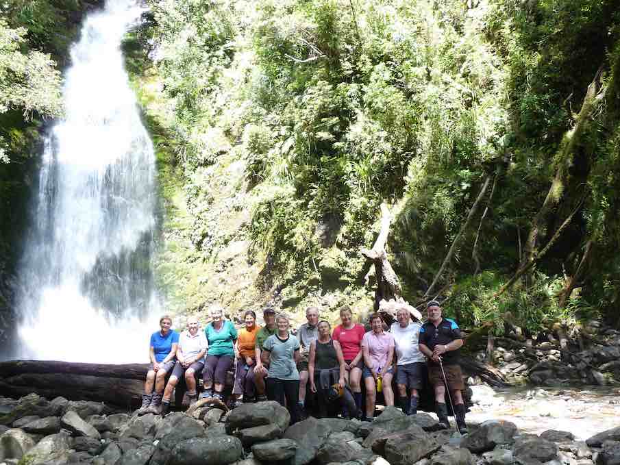
followed with tree falls along the way becoming a little harder to limbo under….. the Falls drew everyone to them and then after a well earned break we set off for Lake Alabaster through self pruning beech forest. As we veered in to the Pyke Valley, we were greeted by tall straight Kahikatea.
Finally we emerged into a clearing where the Pyke Lodge of the Guided walk stood and gazed upon the majestic view of Mt. Madeline dominating the Hollyford skyline.
A further 20 minutes of tired tramping followed before we arrived at Lake Alabaster
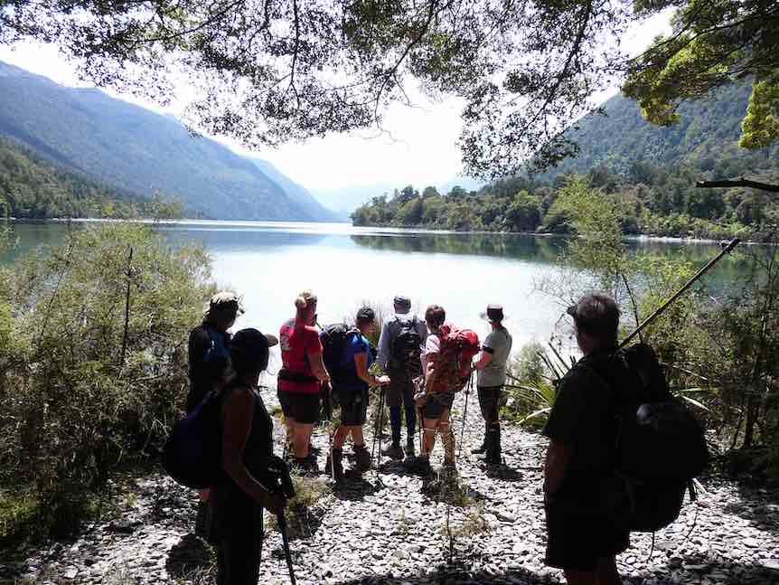
– 7.5 hours after we started, and according to GPS estimations some 2 kilometres longer than official publications credit, at just on 23 kilometres for the day!
Progressively the breezes dropped and shadows and mountain and forest reflections dominated the Lake,
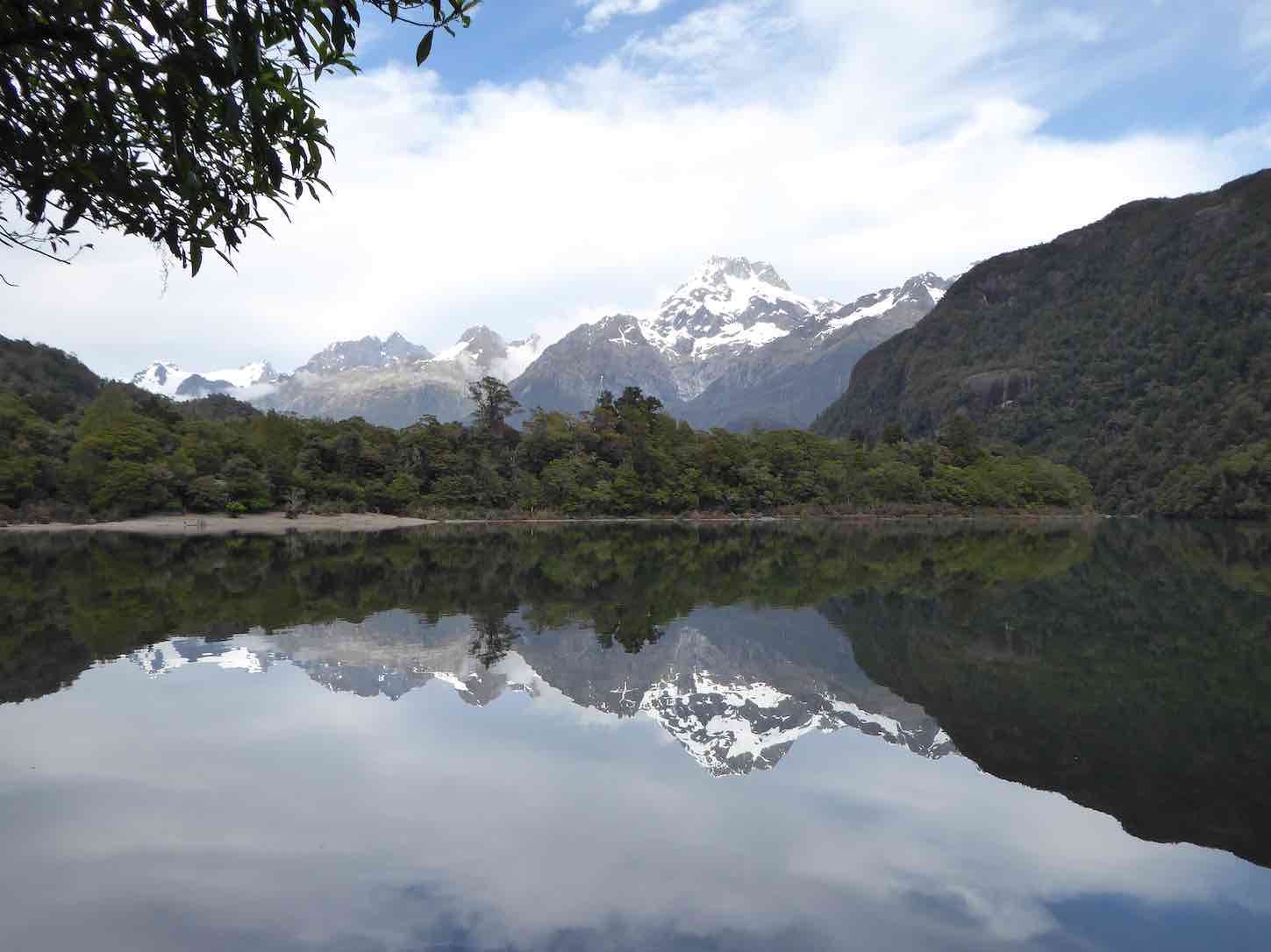
interspersed with splashes of delight as keen trampers (some) had a ‘swim’ and dried off before the sand-flies could do damage.
A good spread of birdlife was enjoyed along the walks including tui, bellbird, grey warbler, (bush robin at Marian),shining cookoo, ruru (at night!), chaffinch and the melodious Kaka. Masses of perching orchids (the bamboo – Earina mucronata) adorned tree branches around the shoreline.
We had the company of a small number of other trampers for the first night at Alabaster.
On the Thursday morning, helped by feedback from trampers off the ‘Demon Trail’, 10 decided to follow the dotted lines on the map along side the Lake up the Pyke Valley; this in effect being a bush bash with the lapping levels of the Lake the easier going. About half way along we stopped at a large flowing creek…. fishing and fossicking were undertaken, with not a lot of luck, though style was fine.
Returning through thick bush we stumbled upon a small ‘grave site’ and then returning to the hut we had a cuppa and lunch, before crossing the largest swing bridge in Fiordland over the Pyke River, to touch upon the Demon Trail. A hundred metres of this was enough to convince us that we should save this for another time…..!
Our second night at Alabaster was a very social affair, with jet boaters …
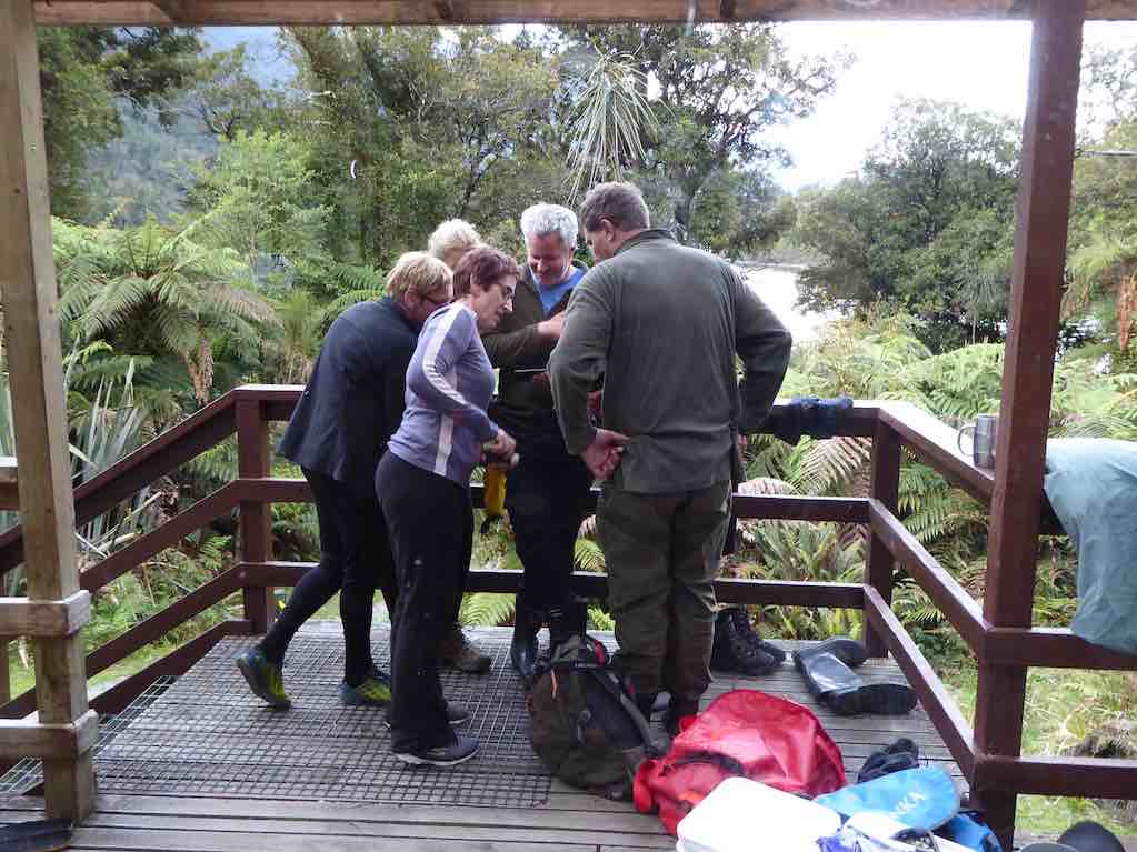
… and pack rafters arriving along with a range of trampers heading up or down the valleys from or to the Coast. Deer had been shot, trout caught, a jet boat sunk and being expensively recovered with helicopters ….so much to catch up on….. and best of all, no news from the outside world! Mattresses were spread throughout the common areas to accommodate all.
Notwithstanding the week of walking everyone was up and away at 6.50 am on the last morning, well before the official start time, as a slight rain began to fall…and fall….and fall. At last we were experiencing a Fiordland shower… becoming so consistent and insistent that when the time came we made a detour to Hidden Falls Hut for an early brunch to recharge, before the last 2 hours trudge to the road end. We took 1.5 hours off the incoming time, very commendable as we were going uphill all the way! (but then apparently the GPS said the distance was shorter…) ah we are better off without these new contraptions!
After 6 hours tramping we quickly reorganised before driving to Gunn’s Camp where we checked for final messages from the Hikers, picked up belongings, then drove back to Te Anau and civilisation. We caught up with the Hikers at a local Café which was being inundated by bus loads of tourists, they were swarming and biting better than sand-flies!
The Hikers meantime, had an enjoyable day trip to Milford Sound on the Thursday. First stop was the well known Chasm, and then they made a call into the Milford Sound Lodge. What used to be a backpackers hostel now has several new cabins and areas for motorhomes, all well laid out with the Cleddau River nearby.
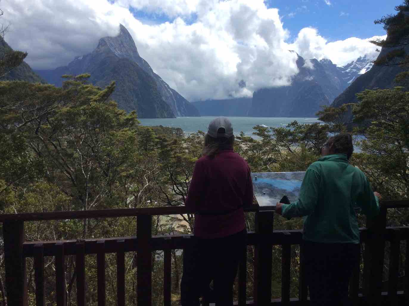
The coffee wasn’t bad either apparently! On the way out they made a stop at the historic bridge over the Tutoko River and a lookout near the tunnel entrance. Friday for them dawned with heavy rain so the decision was made to stay put, light the fire and relax in the common room awaiting the trampers return. By 1pm they decided to head for Te Anau for lunch and rendezvous there as originally planned.
Overall
A most enjoyable 5 days of great company, tracks and views to click the camera at. Four days of sunshine out of five is not a bad record in Fiordland terms. Next stop Martins and Big Bays?
Gunn’s Camp
Everyone felt at home here and the accommodation and facilities most appropriate for a stay. It is a very good base for exploring northern Fiordland, whether sightseeing, fishing, hunting or walking and would save multiple trips to and from Te Anau – or to just step back in pace or in time.
8. 31/10/2018. Trampers. Hermits Cave. Leader: Arthur.
The day dawned fine, with a smidgen of frost to sharpen the air. We had sunshine all day, with a few clouds and light winds at times – perfect conditions for our excursion into the Silver Peaks.
Leaving Mosgiel at 8.30 a.m., we began our tramp from the car park on Mountain Road at 9.20 a.m.
Smoko was trackside in the sunshine. Past Green Hut (site), up, along, and up, up, with an occasional brief rest/regrouping stop.
Approaching Pulpit Rock,
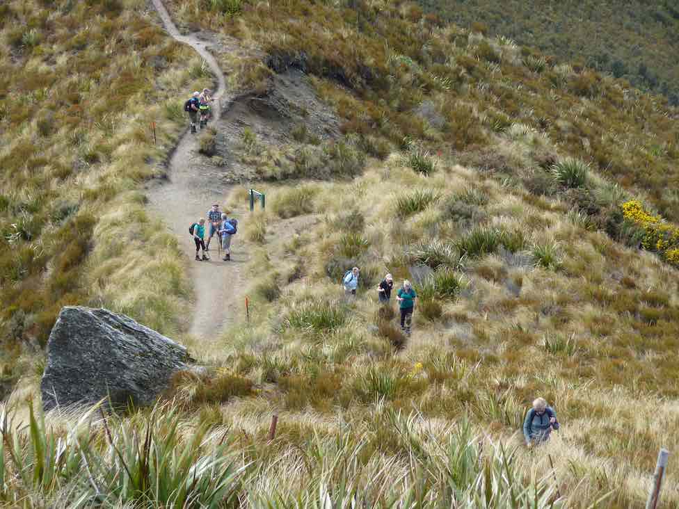
weed-eaters/chainsaws could be heard to our left. We soon spotted some of the Green Hut Track Clearing Group hard at work down on Long Ridge. You work is greatly appreciated chaps!
Several of our group took the opportunity to climb Pulpit Rock
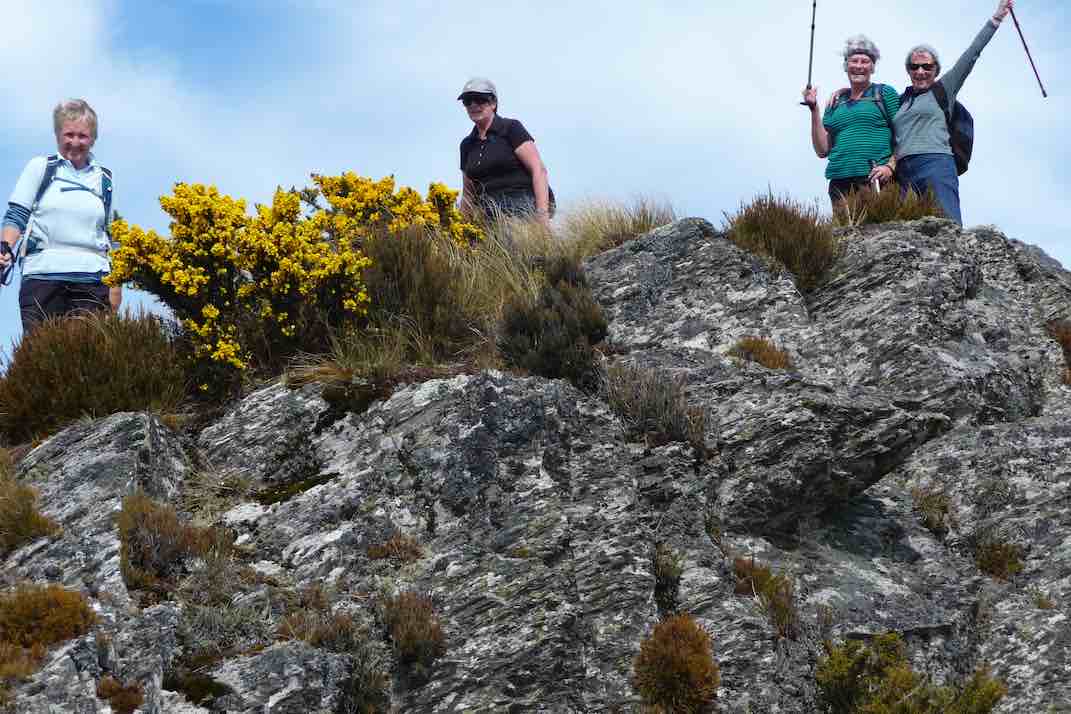
before we moved on.
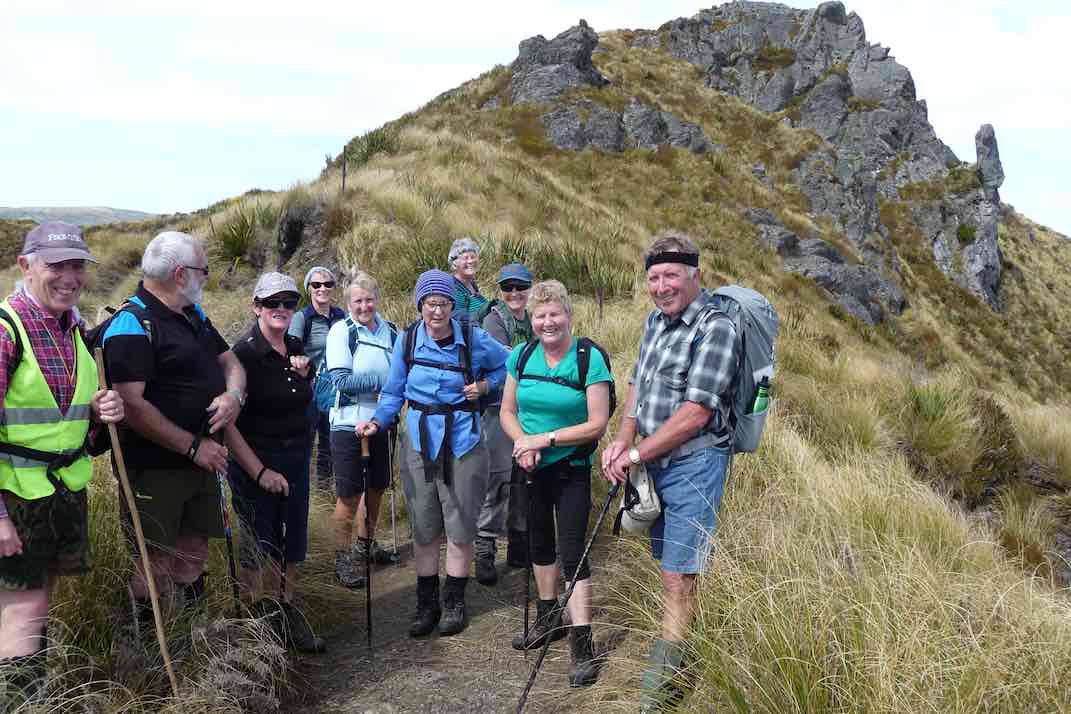
The Pinnacle Rock pointed our way onto the Rocky Ridge, where the track was rough but easy to follow.
We stopped a half kilometre short, on a rocky knob to have lunch in the sunshine, while enjoying the terrific views. It was really special to be there!
While the others finished their lunch, the leader recced ahead to the Hermits Cave. The rest followed …
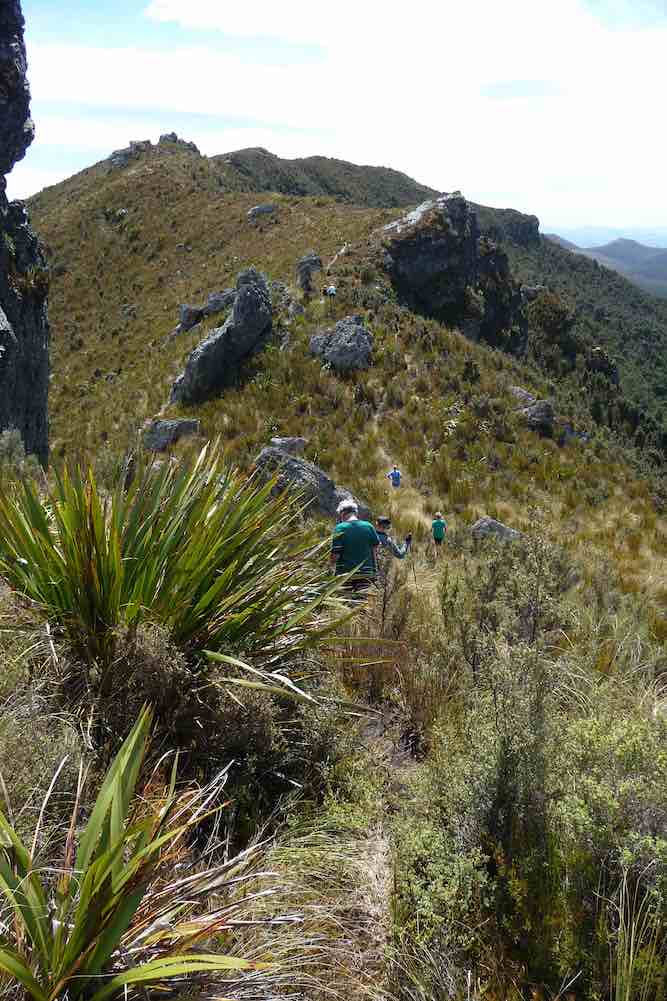
… to inspect it and to make an entry in the Visitors Book. (The previous entry was back in July.)
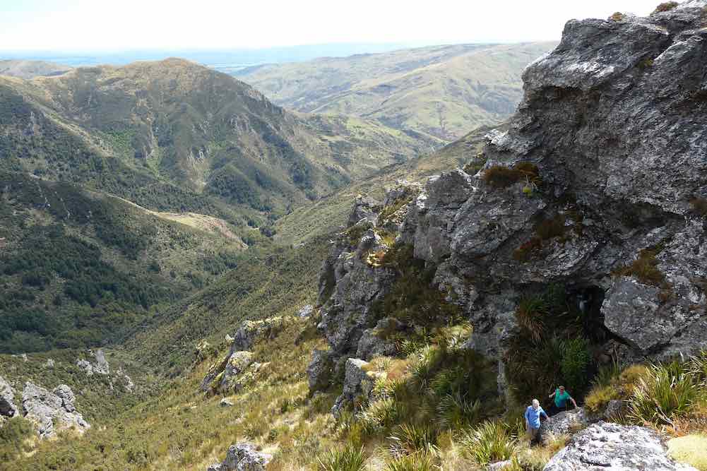
At 1.30 p.m. the return journey began. An occasional brief rest/regrouping stop was made, and eventually a happy but a little tired, group of Trampers ended. Their tramp ended back at the cars at 4 p.m.
All had enjoyed their venture into the Silver Peaks, and the weather had suited us to perfection, couldn’t have been a better one.
There was a large variety of birdlife to be seen and heard today – two got a brief glimpse of a N.Z. Falcon along Rocky Ridge, and a Fern Bird flew across in front of us in the vicinity of Green Hill.
The “distance-meters” couldn’t agree, and ranged from 17 to 20 km for our day. Take your pick. An average of 4 k.p.h. was maintained by our group of 11.
We were back in Mosgiel before 5 p.m. and what a wonderful day it had been.
Thanks to all. – Art.
7. 22/2/2017. Trampers. Hermits Cave. Leader: Arthur.
7 keen trampers set out for a trip in to the Silverpeaks, leaving the cars on Mountain Road at 9.25 p.m.
The weather was perfect for the inward tramp, overcast with a slightly southwest breeze to keep the temperature down.
After 40 minutes we stopped for morning tea. Past Green Hut site we climbed through the bush before emerging into the open. Good views in all directions, upward, and then stopped briefly to admire Pulpit Rock.
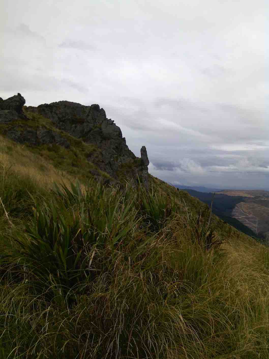
A little further and we turned on to the Rocky Ridge track. At 12.15 p.m. we were on the track just above the Hermits Cave, the leader descending to find A cave, but not the Hermits Cave he remembered!
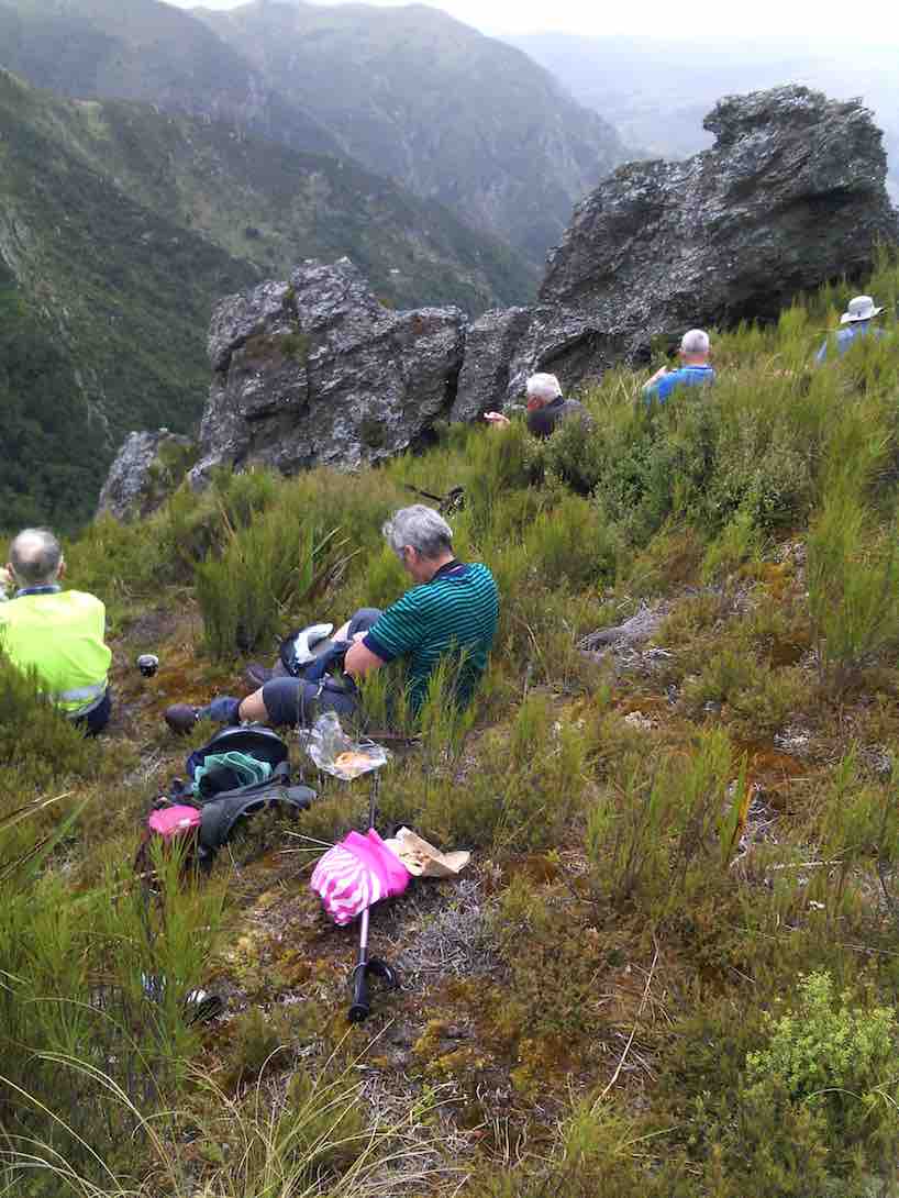
No one else was keen after watching him toiling back up to the track, so there was nothing for it but to have our lunch.
All sat and enjoyed the view – what a great spot it was. We could see the “Devils Staircase” leading down to Jubilee Hut also visible.
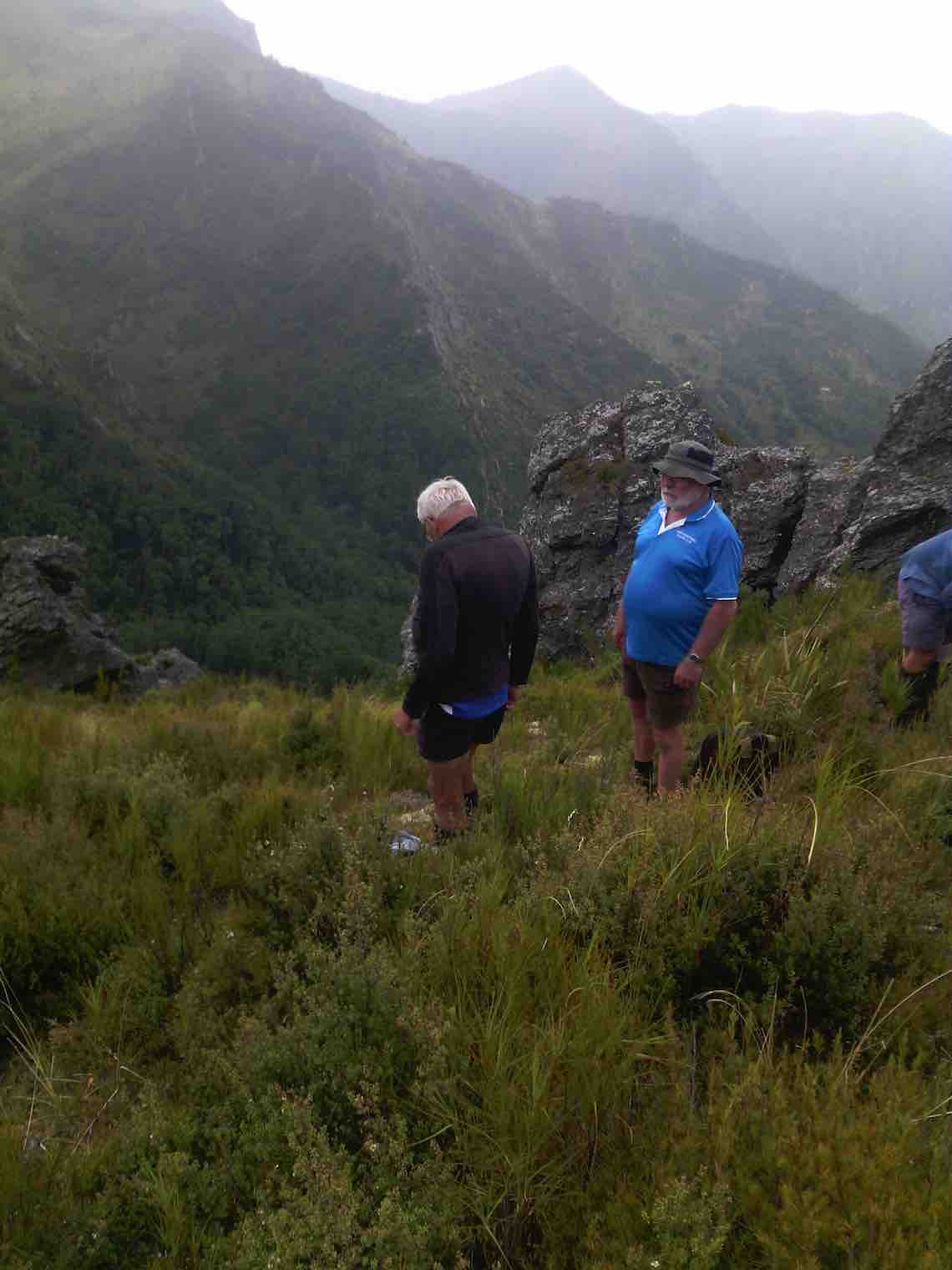
As we prepared to leave, a fine drizzle arrived and cloud was forming immediately to the east of Rocky Ridge. Coats on, and in a few minutes it was raining. Within minutes all the trackside vegetation was wet for us to walk through, the breeze changing to easterly with it.
By the time we got back to Pulpit Rock we were completely surrounded by cloud – the Pulpit Rock loomed rather eerily through the mist as we passed.
The rain had eased by the time we were back down to Green Hut, and after an occasional brief rest stop, we were back at the cars in the mist at 3.05 p.m.
We had made good time all day, both going in and coming back. Keith recorded the distance at 16.6 km for the trip.
A recovery time was taken at Blueskin Bay on the way home. We found Dunedin and the Taieri bathed in sunshine – but we had been in a different world! – Art.
6. 19/9/2012. Trampers. Hermits Cave via Green Hut, Pulpit Rock.
5. 23/2/2011. Trampers. Hermits Cave via Green Hut, Pulpit Rock.
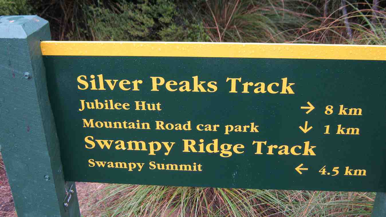
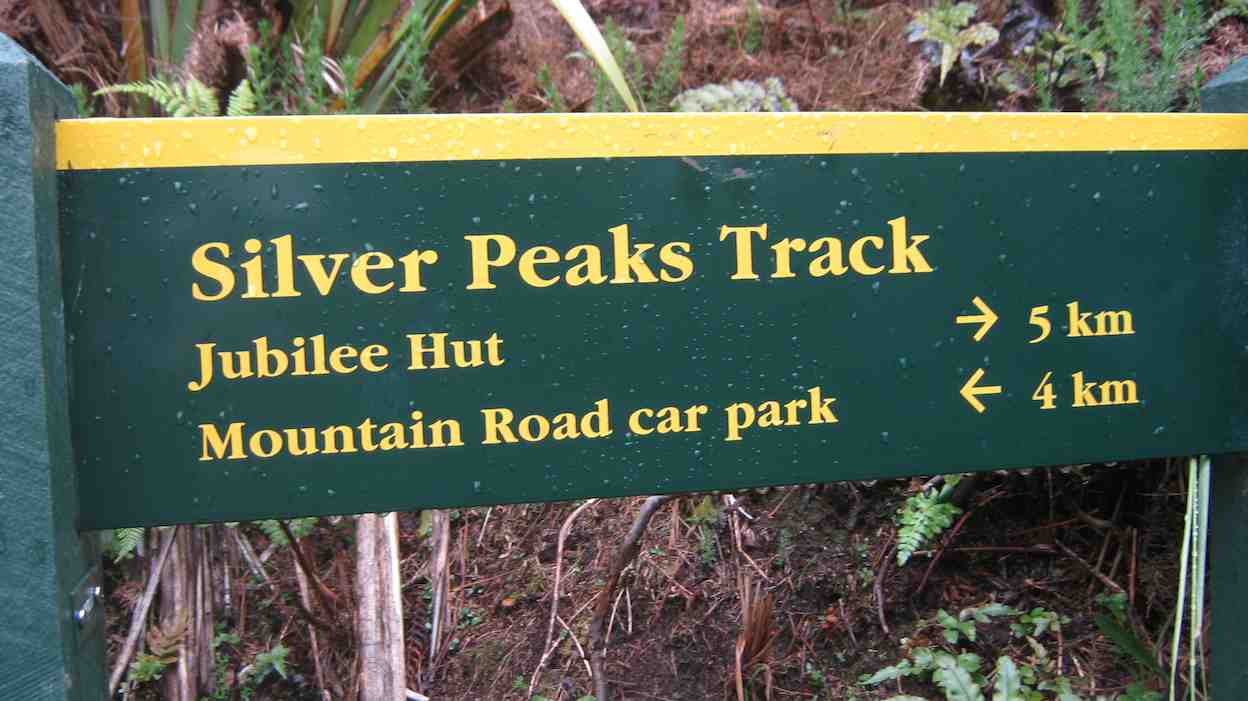
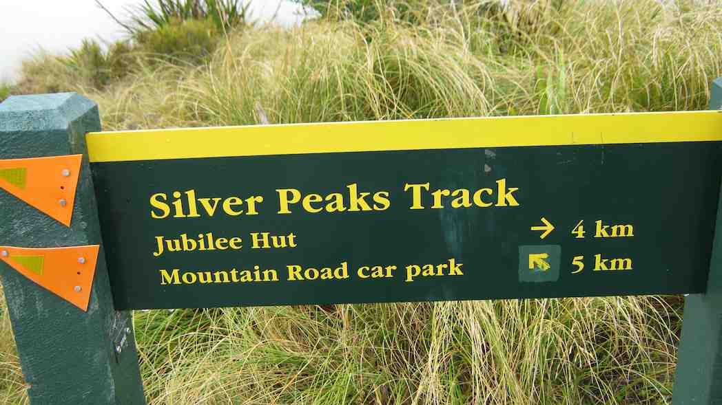
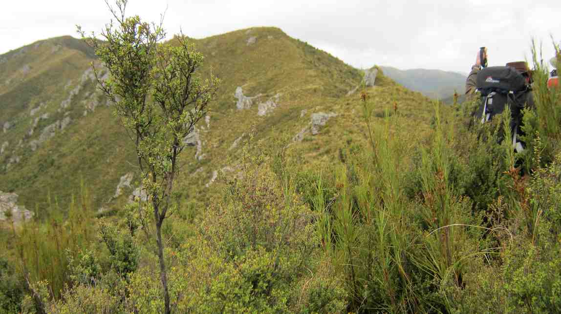
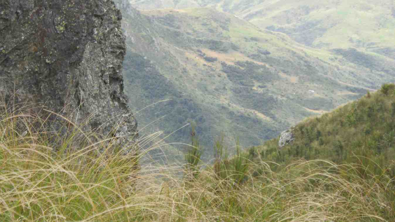
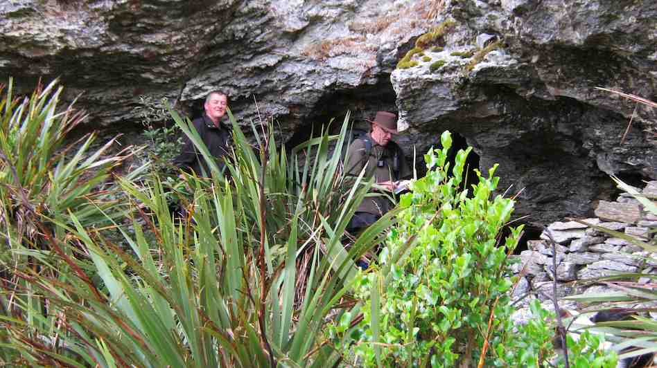
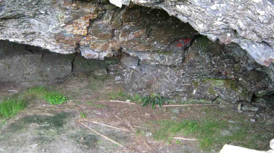
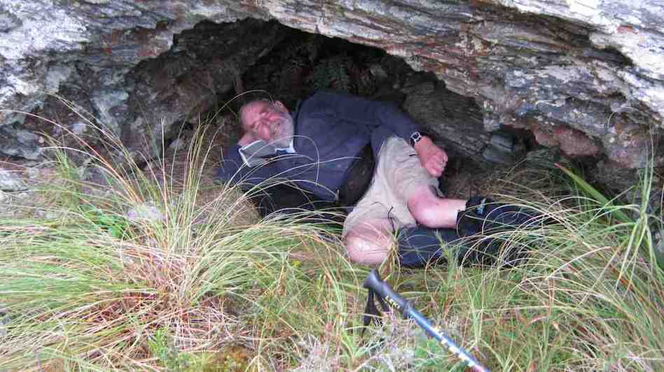
4. 11/10/2006. Trampers. Hermits Cave via Green Hut, Pulpit Rock. Leaders: Doug M, George
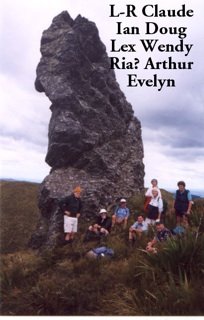
3. 26/11/2003. Trampers. Hermits Cave via Big Stream, Mount Allan. Hard. Leaders; George, Hazel.
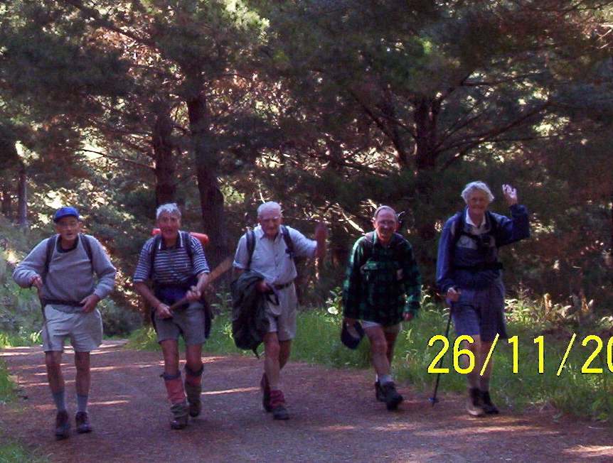
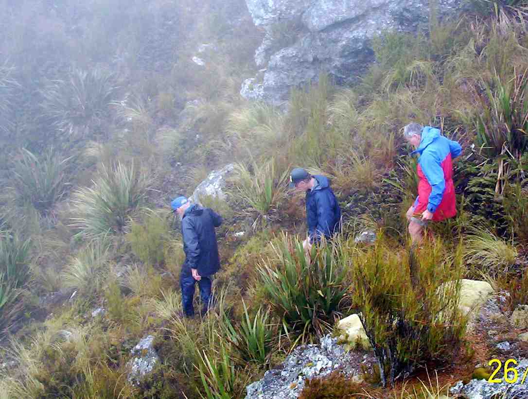
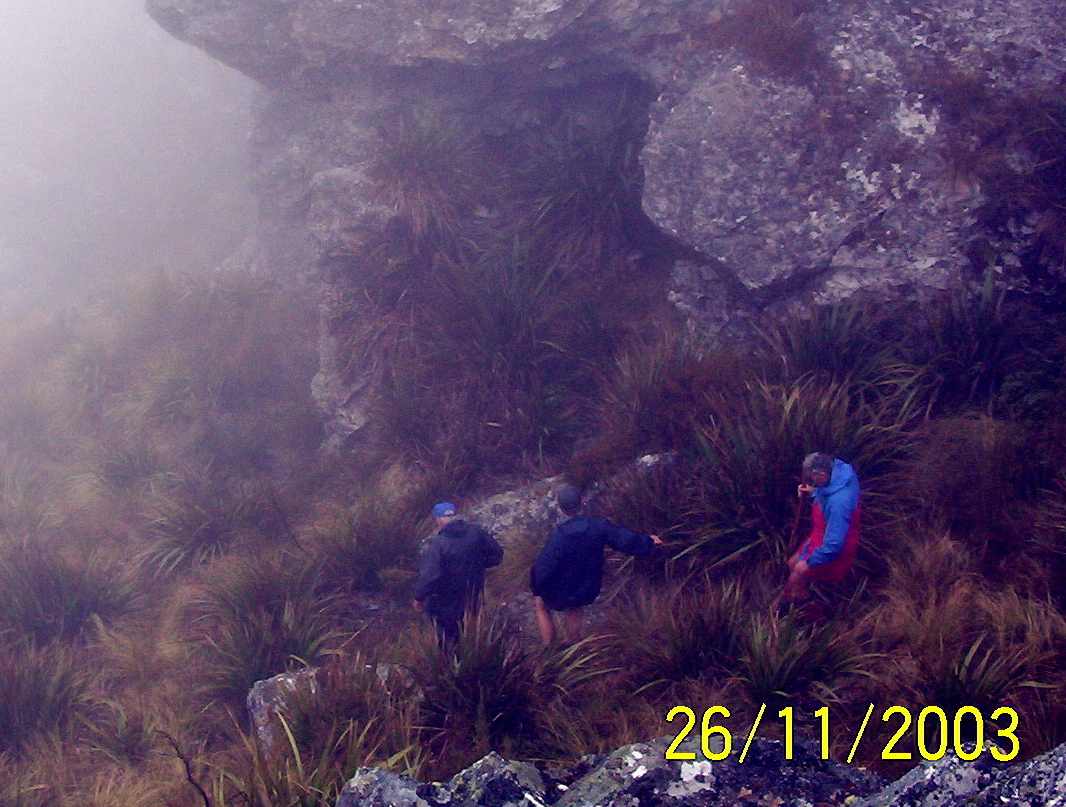
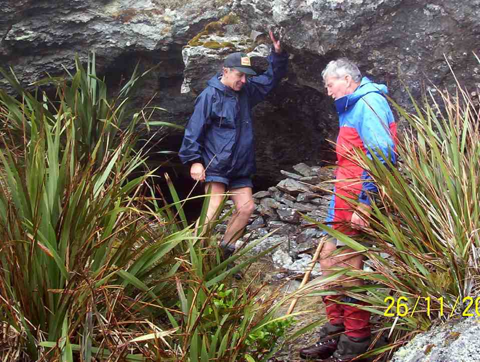
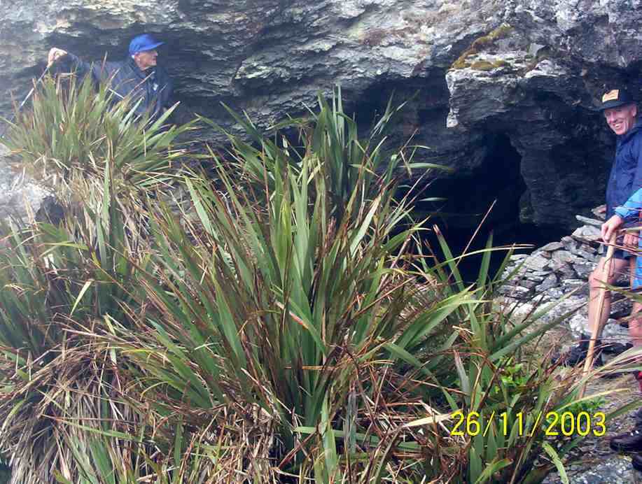
2. 29/1/2003. Trampers. Greeen Hut, Rocky Ridge, Hermits Cave. Hard. Leaders: George, Claude, Wendy.
1. 9/3/1994 Hermits Cave, Silverpeaks. 3 alternative stages – long, medium, short. Leaders: George, Doug J, Jean A, Eleanor
Another account. A leading light of the OTMC. Missing for 2 years. All over South Island. Silver Peaks for only the latter six months. Police brought him in when he started killing sheep. Account agrees it was indeed Jubilee Hut, not Green Hut as is commonly supposed, where he was seen.
A further comment by another: A little man – had a swelling on the side of his face which embarrassed him. Quite withdrawn but had a great sense of humour when you got to know him. An excellent bushman and a good teacher and leader in the hills. In the late sixties he worked for Valley Industries as a sheet metal worker and lived in a flat in (I think) Heriot Row – lived alone. Lots of stories about his history.
9. 17/10/2018. Trampers. Steve Amies – Craig Lowan Falls. M. Dave.
13 keen trampers left their cars not far from the Whare flat school house and started on the Tunnel track.
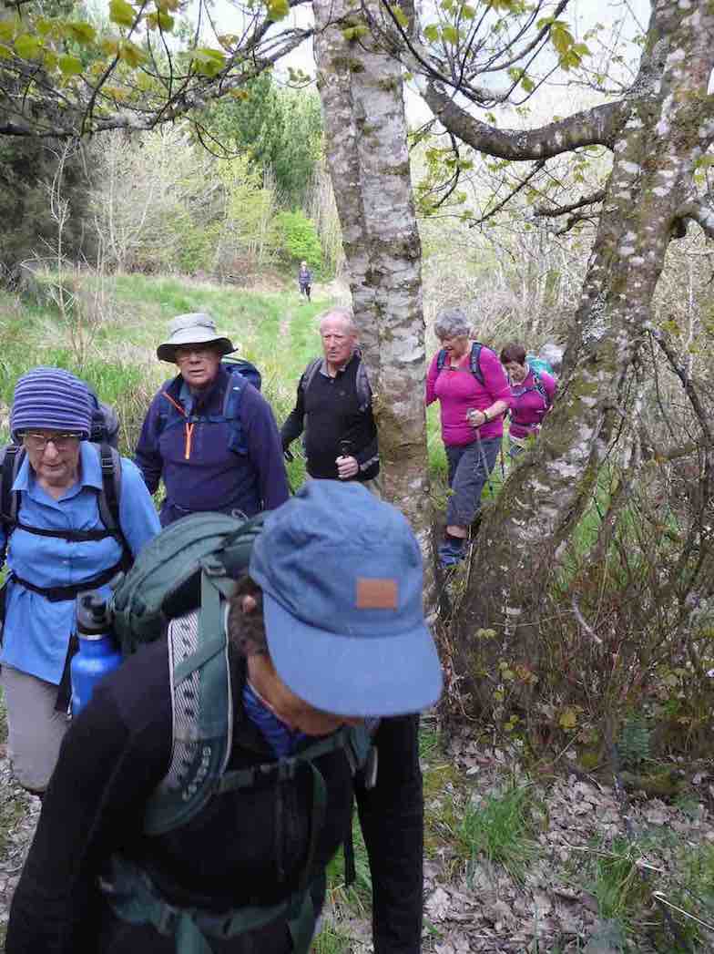
This track was fairly flat and one couldn’t help but marvel at the amount of work done by the early water race workers. After reaching McRaes Weir we turned up a somewhat steep track
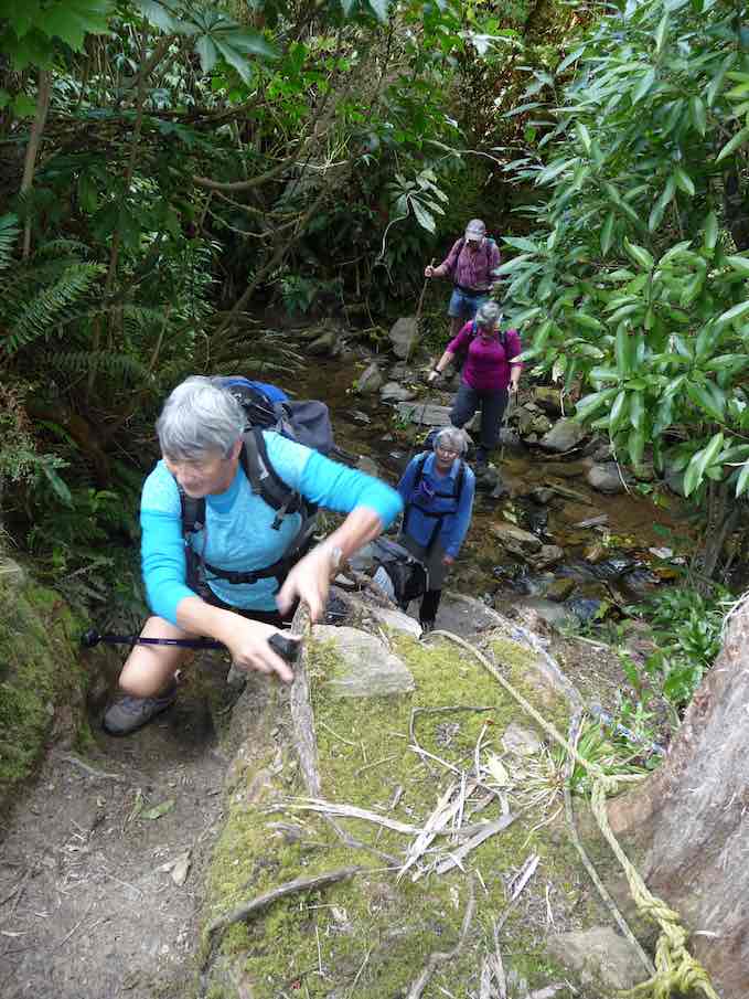
to reach the Steve Amies ridge. The climb along the ridge was very pleasant, with manukas/kanukas dominant, with lush green undergrowth.
We stopped at the memorial Bryan Freeman seat – he used to be a good friend of Eleanor and her late husband.
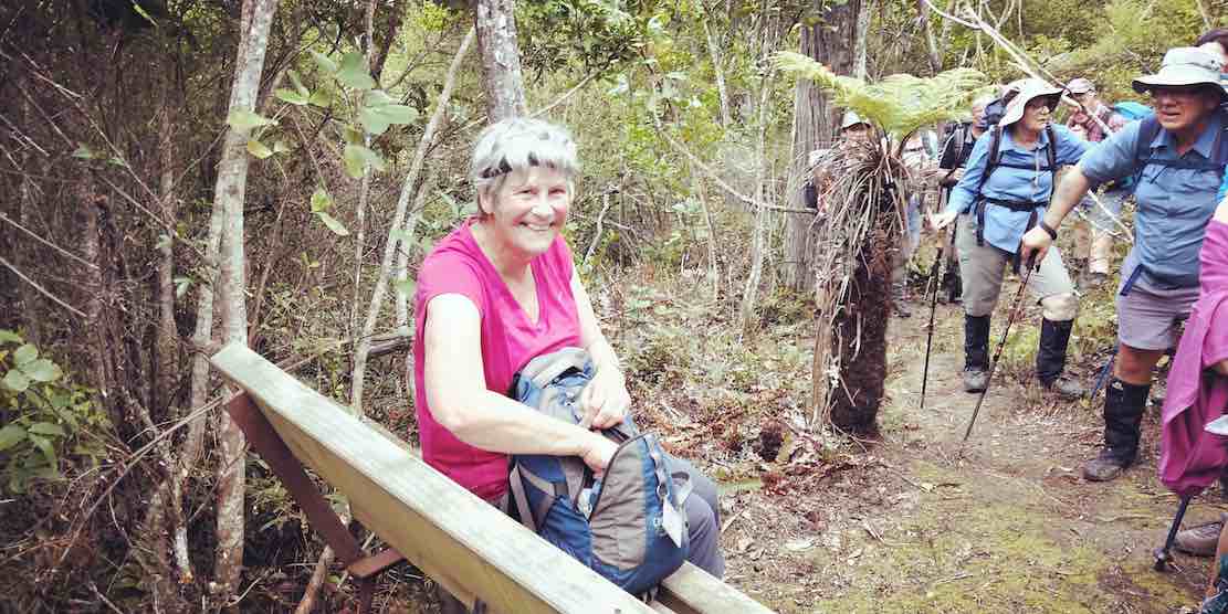
Near the top of the track it was obvious the amount of tree planting and track maintenance that Steve Amies and his mates did many years ago.
We then walked down Rollinsons Road and entered the bush that leads to the Whare lake loop track. It was in this area that a vote of thanks was passed to Arthur and Neil for the obvious work on track maintenance that they continually do (you no longer get your boots wet)!!!
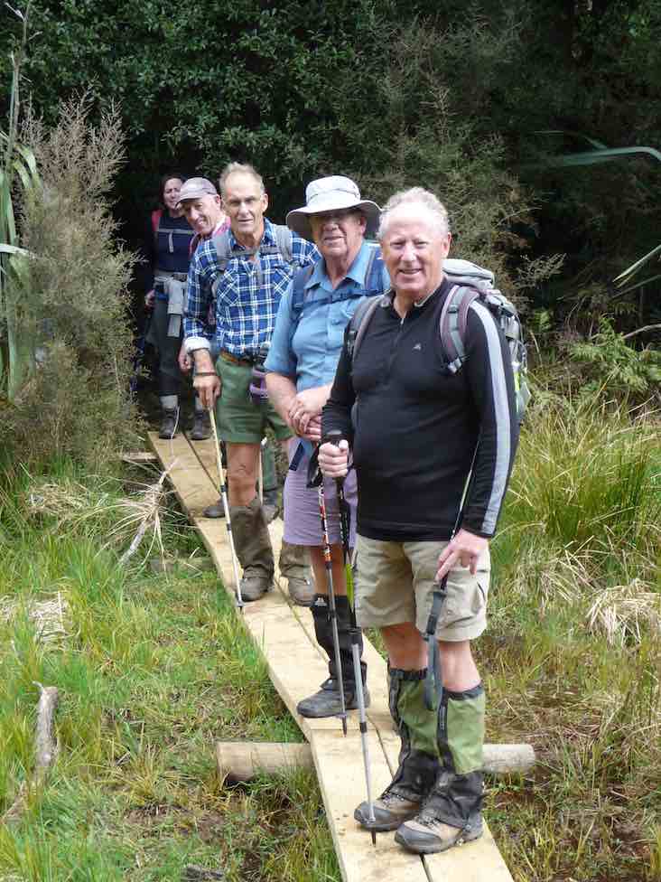
After having lunch on Smithys’ track it was then down through the bush and back onto Rollinsons road. Round the corner and off the flagstaff – whare flat road we followed an un-named track
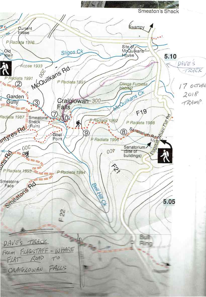
through scrub up to a pine plantation on a ridge. On the sides of the ridge were sycamore trees – a pest – but a pretty sight as the trees were coming into leaf. This improved track lead along the ridge finally ending high above McQuilkan’s creek. Everyone took care descending steeply down to the creek.
5 minutes up the creek we were at the Craig – Lowen falls – quite a sight!
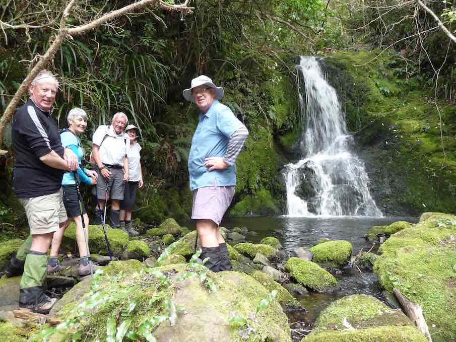
Another half an hour down the streamwe were out in the open and back to the cars.
We covered 21,319 steps, 15.9km in 5.5hrs and gained a net height of 349 metres.
A good round trip! Dave
8. 24/9/2014. Trampers. Craiglowan Falls. M.
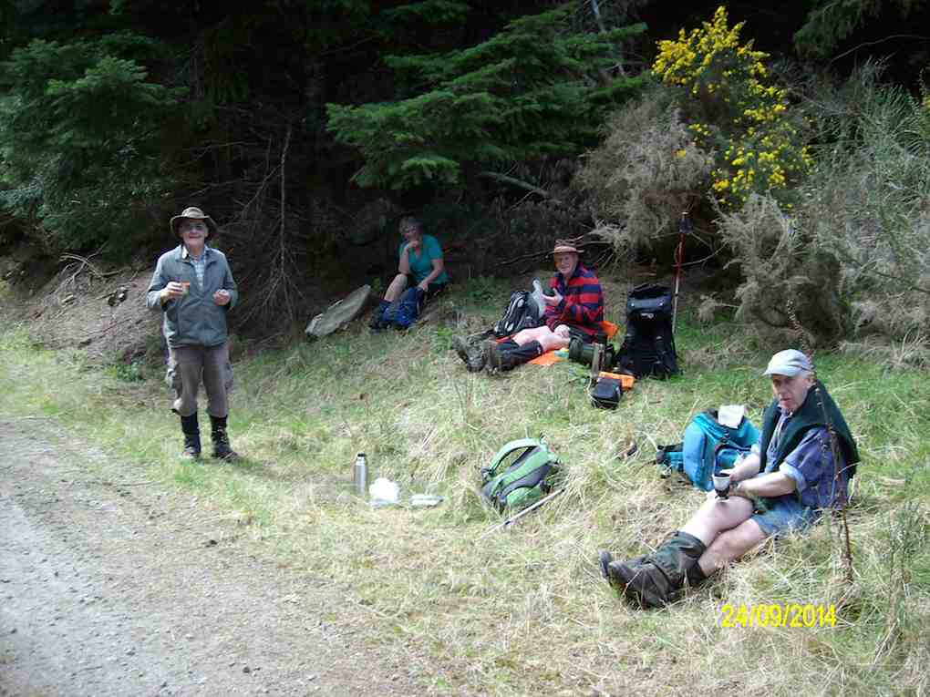
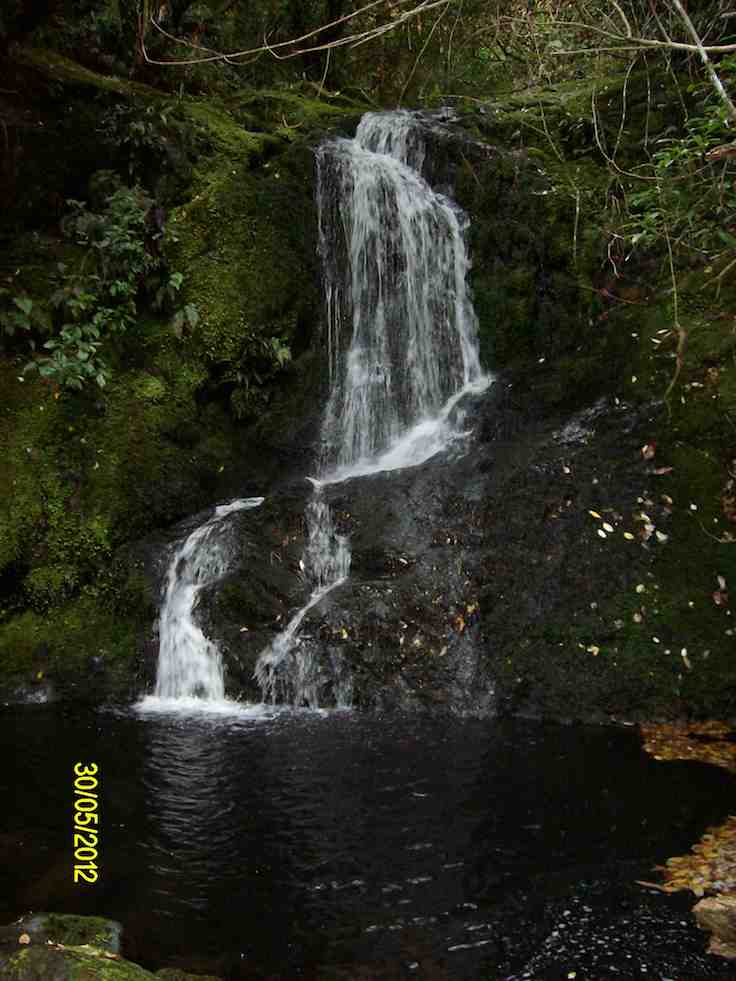
7. 30/5/2012. Trampers. Falls, Goat Point, Smeatons Shack, Aqueduct, Longridge Road.
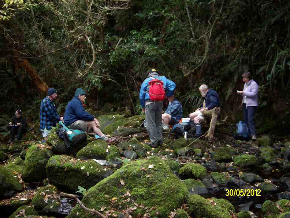
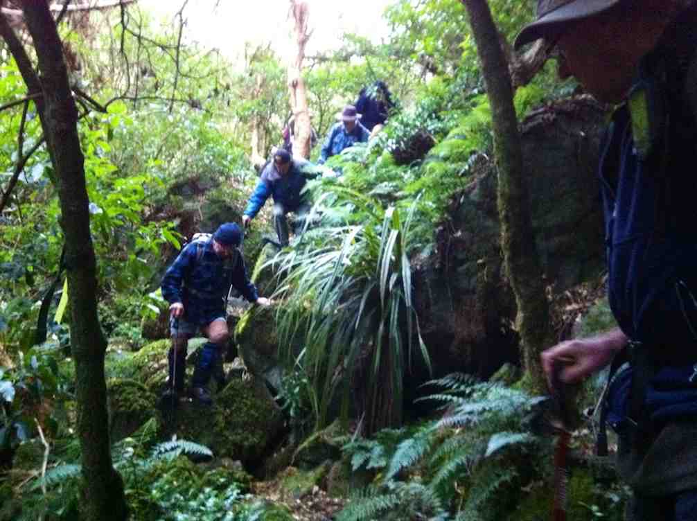
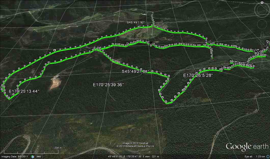
Well, to this point, so far, so good. Back at the stream crossing down below the confluence, we failed to locate the track up to Goat Point, despite knowing its general area. So we climbed in faith and hope. Finally we came across track markers, leading left and right. After exploring left, we went right, until they led relentlessly down. So we retraced back up because Ian had it fixed in his mind that we had to go up to reach the pine plantation. Mistake one.
Encouragingly however, Ken found a track indication on his GPS, and it did promise to reach a forest road. So we kept to this, despite no track appearing, only plenty of scratchy blackberry brambles. But we did reach the road, finally.
This we walked down until we reached a junction, with signs indicating that we were on Smeatons Road, crossed by McIntyre road. Hooray. McIntyre was what we had originally wanted. Ian felt we still had to go down so we turned left and down McIntyre road. Mistake two. We should have taken McIntyre road to the right. More of that later.
Anyway we made the long walk down McIntyre Road, left, to where the race crosses it, and turned right, along the race to lunch, as planned, at the Aqueduct.
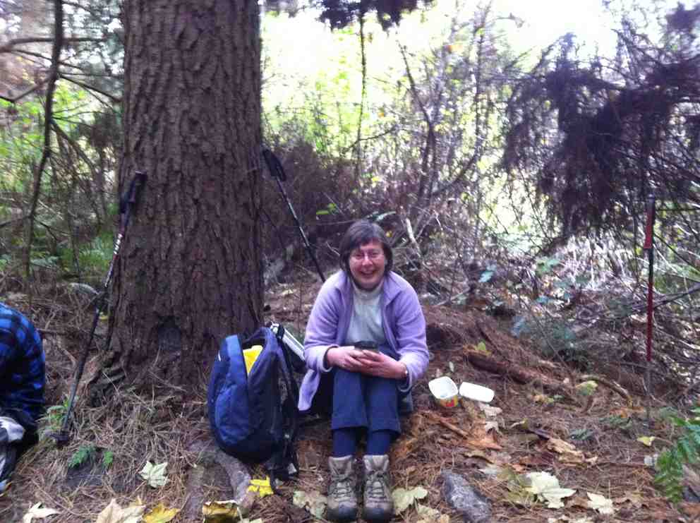
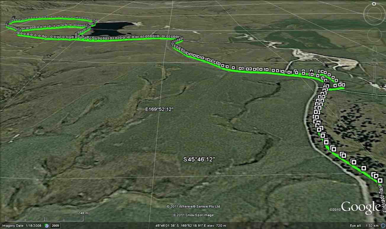
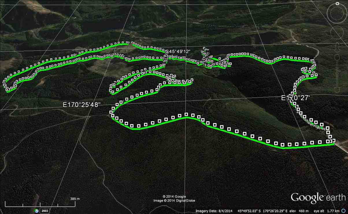
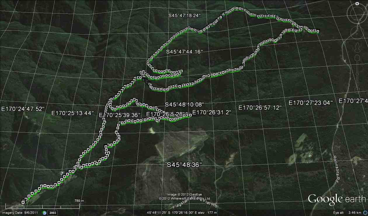
Now, have a look at Ken’s GPS of our route. Click to enlarge. Start at the top, and follow to the right to reach Craiglowan Falls at the extreme right.
Now turn to page 8.07 of Antony Hamel’s Tracks and Trails, and find on the map of Flagstaff Forest at the top right, the circled number “seven”. See how it ascends first before turning right along a contour, below Goat Point and then DOWN to meet McIntyre road at its other end next to Smeatons Shack.
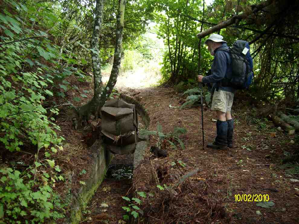
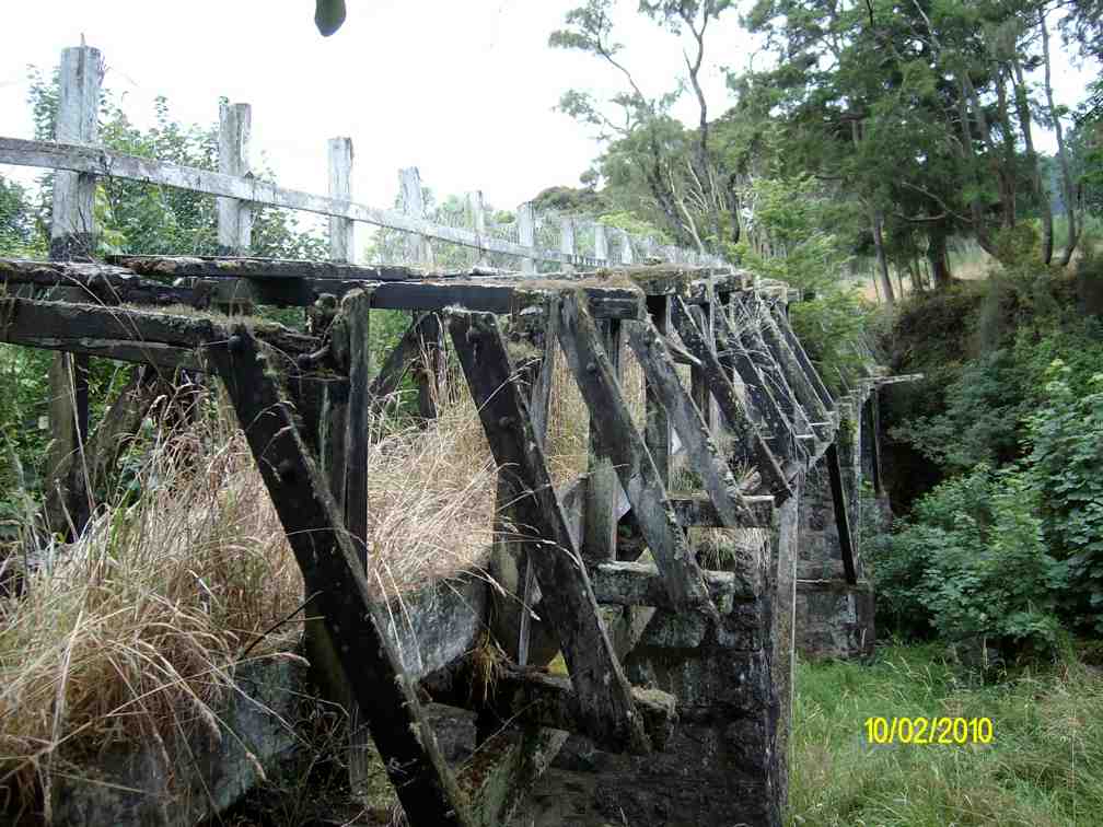
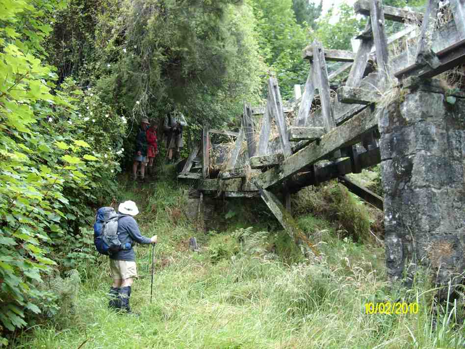
6. 10/2/2010. Trampers. Falls, Goat Point, Smeaton Shack, Aquaduct, Longridge Road. Leaders: Ian, Sabina.
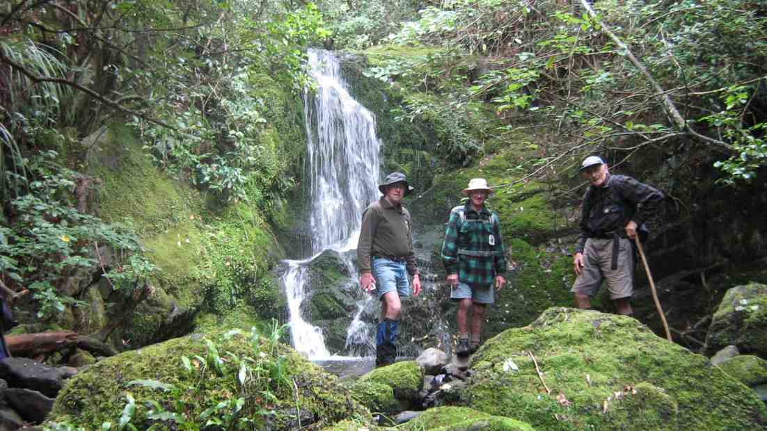
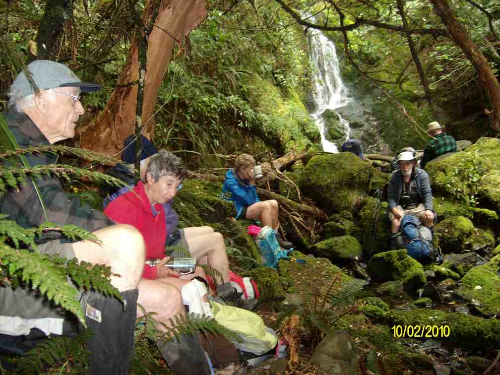
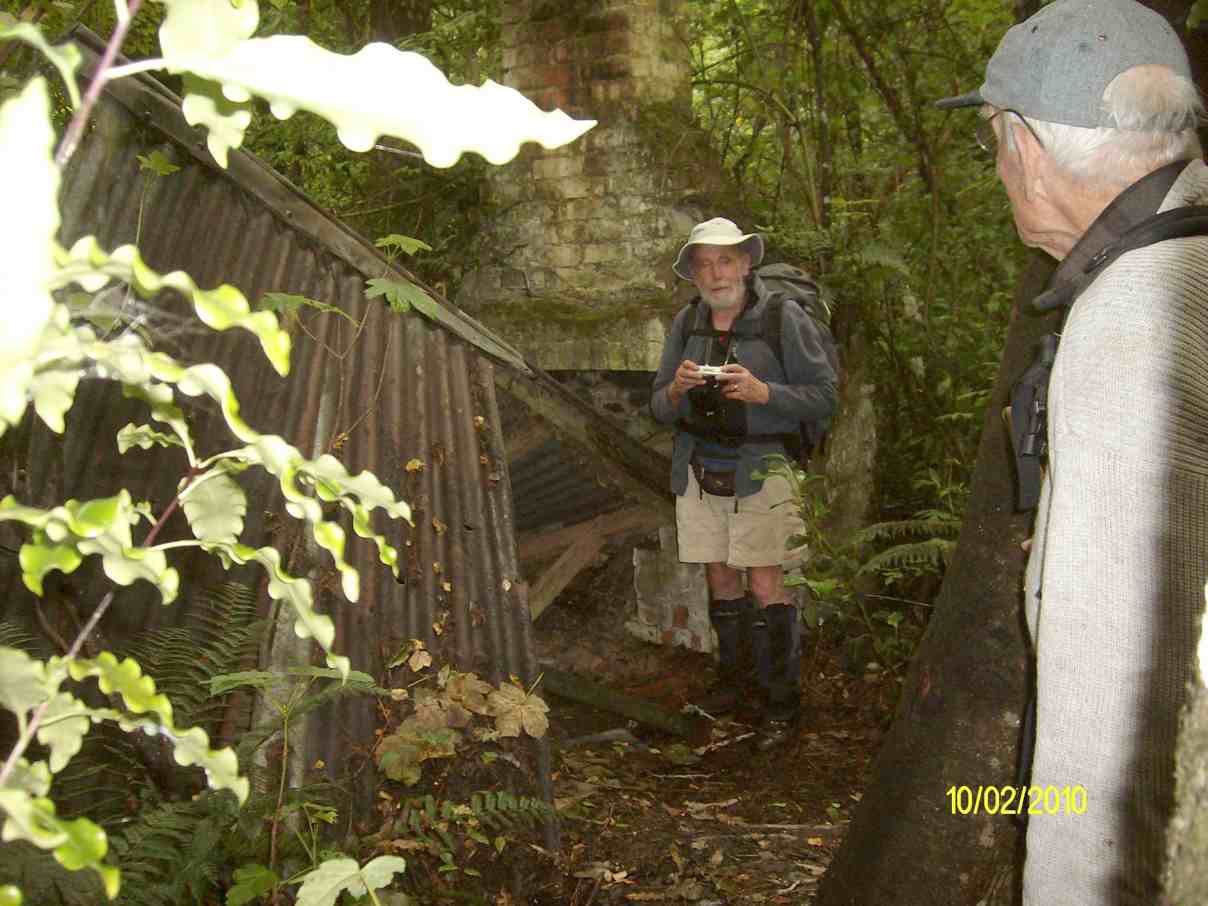
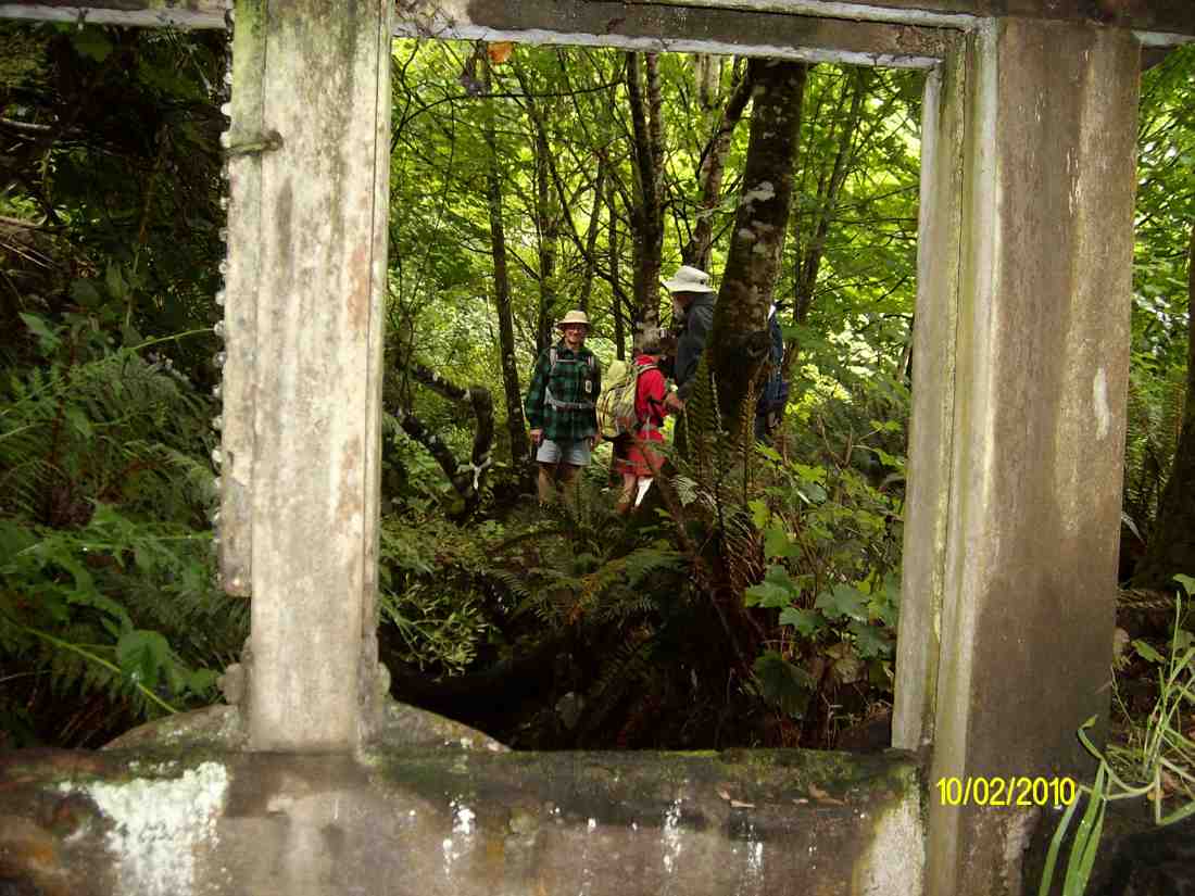
5. 3/8/2005. Both. School House, Craiglowan Falls, – Whare Flat. Leaders: Judy, Jacqui, Hazel
4. 6/8/2003. Both. Craiglowan Falls. Medium. Leaders: Doug M, Hazel, Barbara L, Mary M.
3. 19/7/2003. Craiglowan Falls.
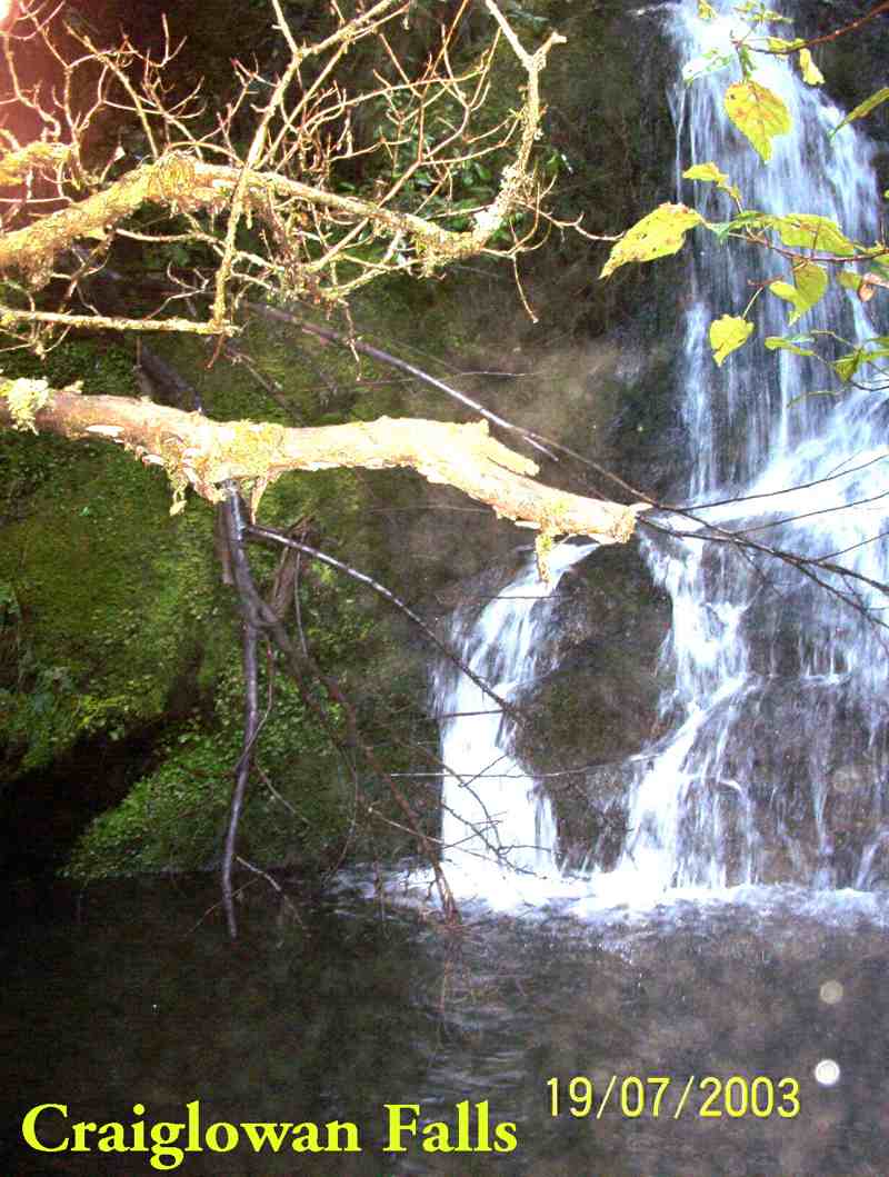
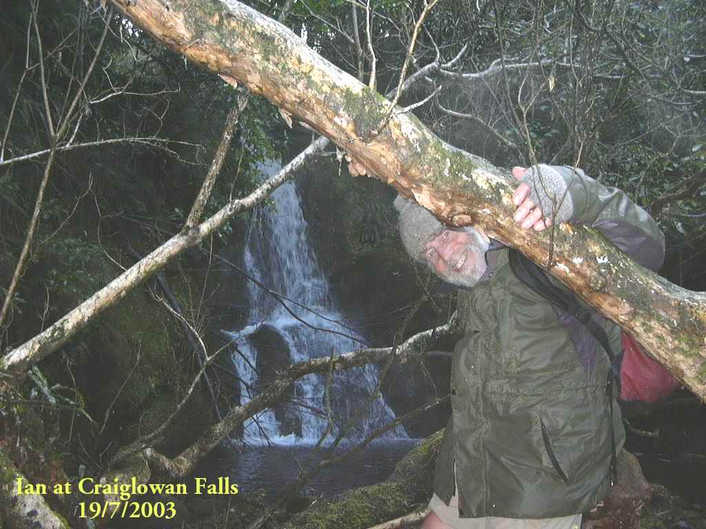
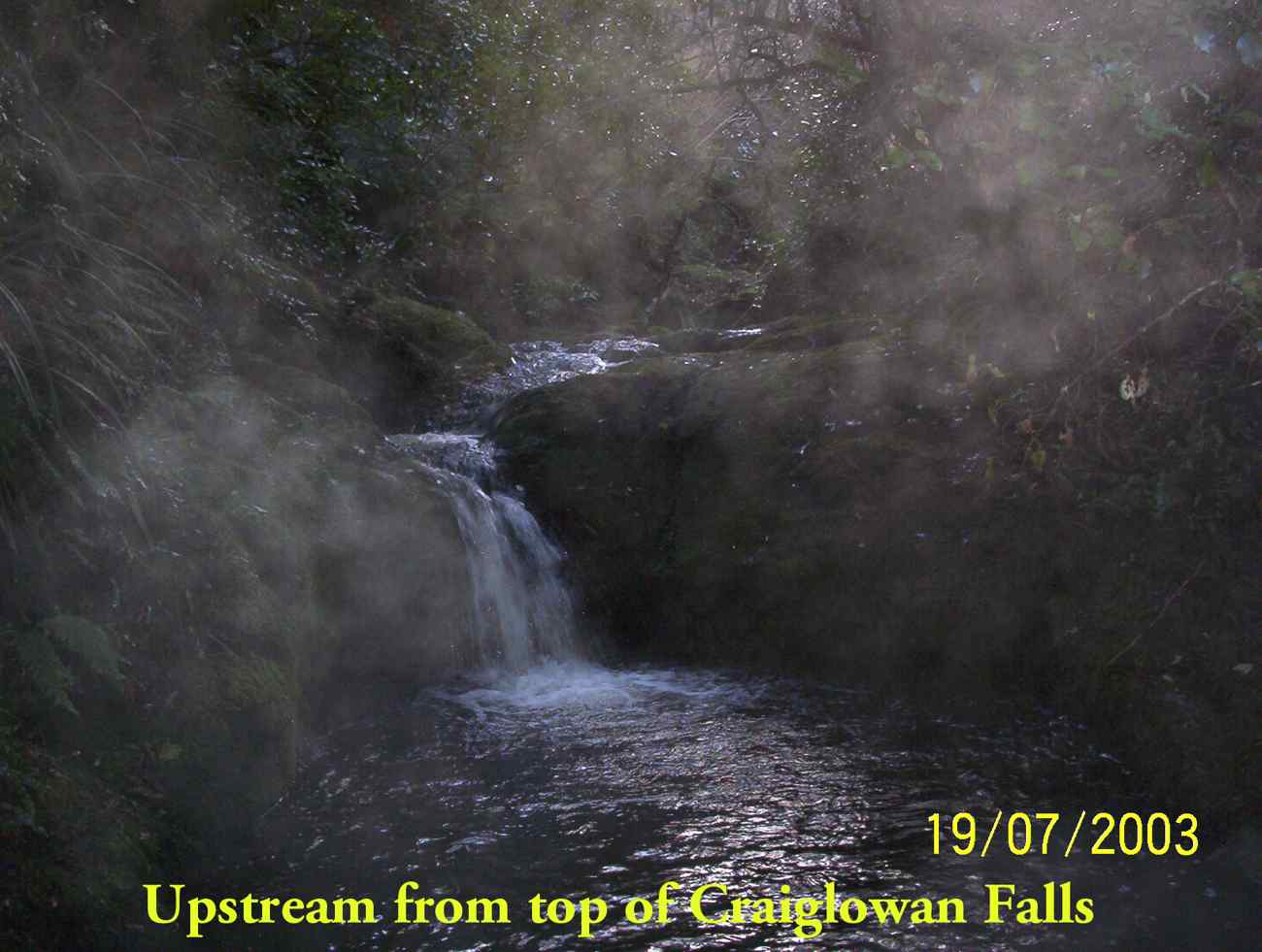
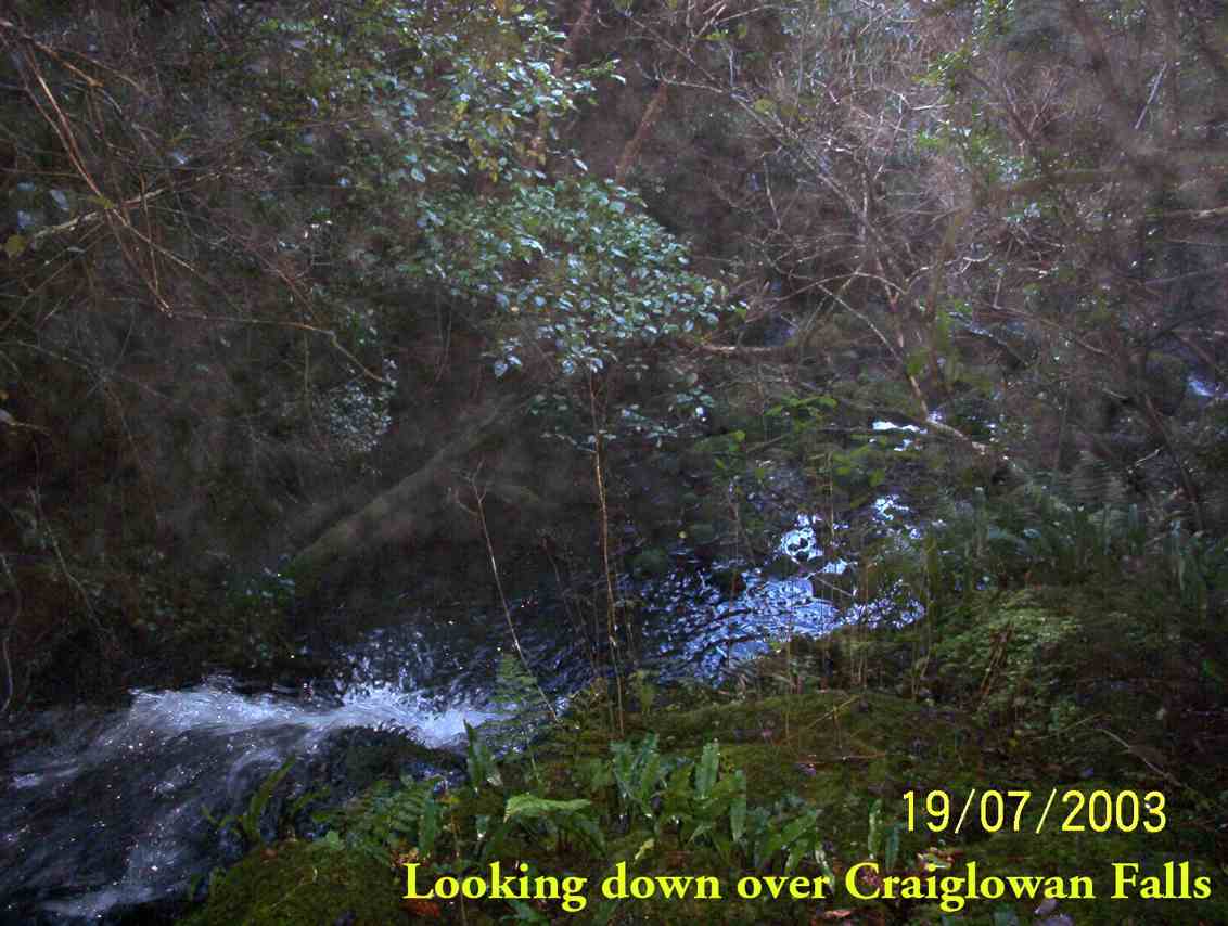
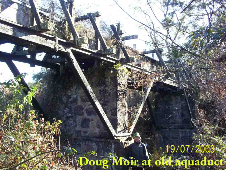
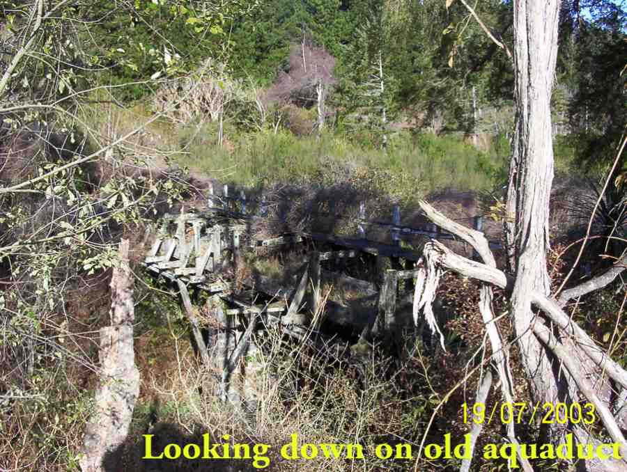
2. 30/8/2000 Craiglowan Falls, Whare Flat. Leaders: Mavis, Winifred, Val
1. 16/4/1997. Craig Lowan Falls from Bull Ring. Leaders:Hugh, Val, Judy C
Greengage Track – Information and Trips Library
3. 10/10/2018. Trampers. Greengage Circuit. Leaders: Arthur and Gordon.
Daylight arrived with a warm norwest breeze and a bright sky – but the forecast was not good.
Nine energetic trampers ceparted the car park at 8.30 a.m. for an early start. Passing through the locked gate on Rollinsons Road, we parked at the ‘elbow’ and began our tramp from there.
Going down the Rainguage Track for half an hour took us to the start of the Greengage Track, which we followed. Getting ever steeper took us to the stream …
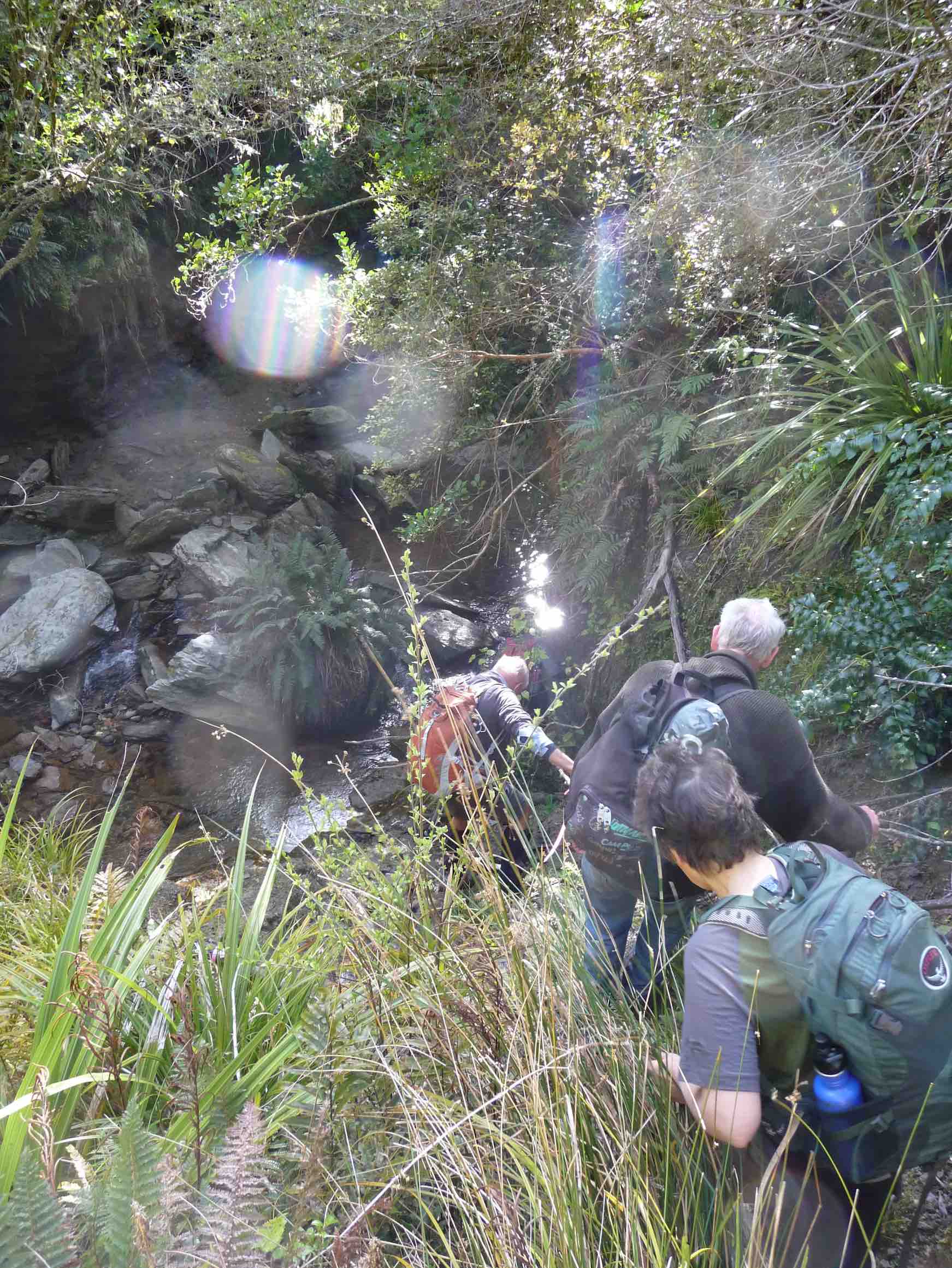
… at the bottom, which we crossed – this being part of the Silverstream.
Now for the best part of the day. We had a 30 metre rope
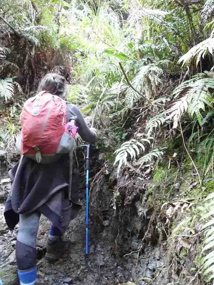
to assist our climb out of the stream bed. The reward at the top was the smoko stop.
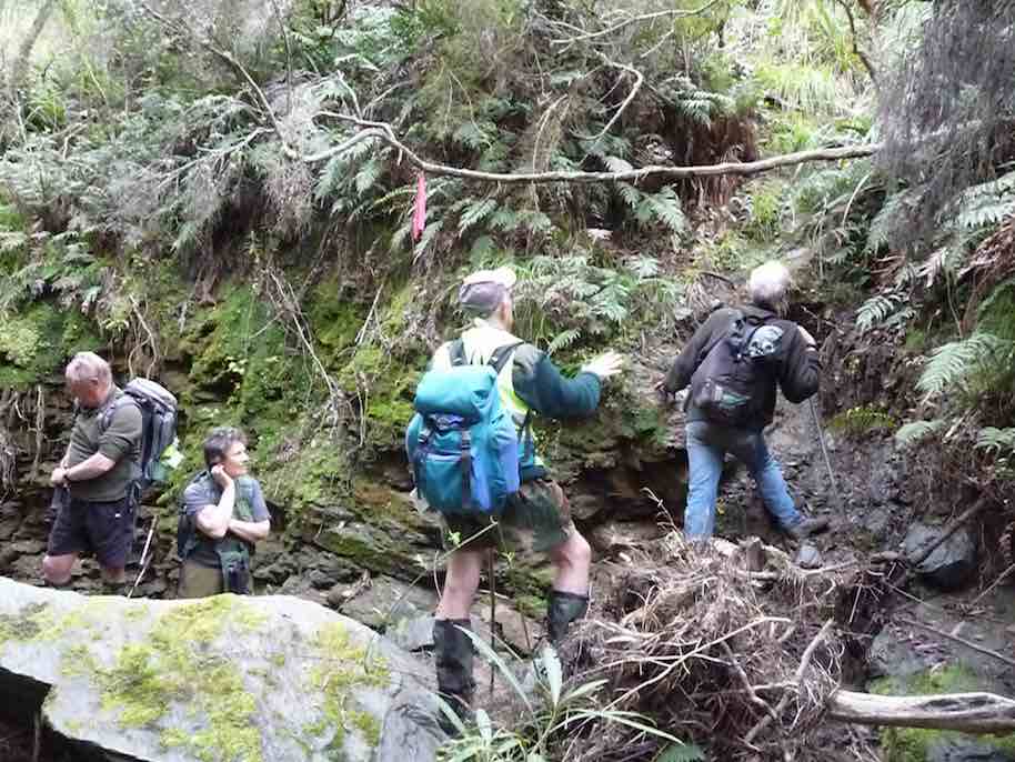
From here it was the long climb up onto, …
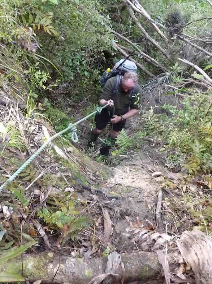
… and to the top of Green Ridge. It was rather tough going at first but the grade eased as we progress upward.
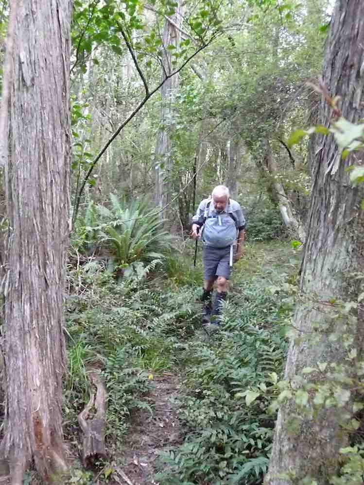
Around 11.30 a.m. low cloud descended, with dampness in the air. Near the top of Green Ridge, a lunch halt was called in a cosy sheltered place.
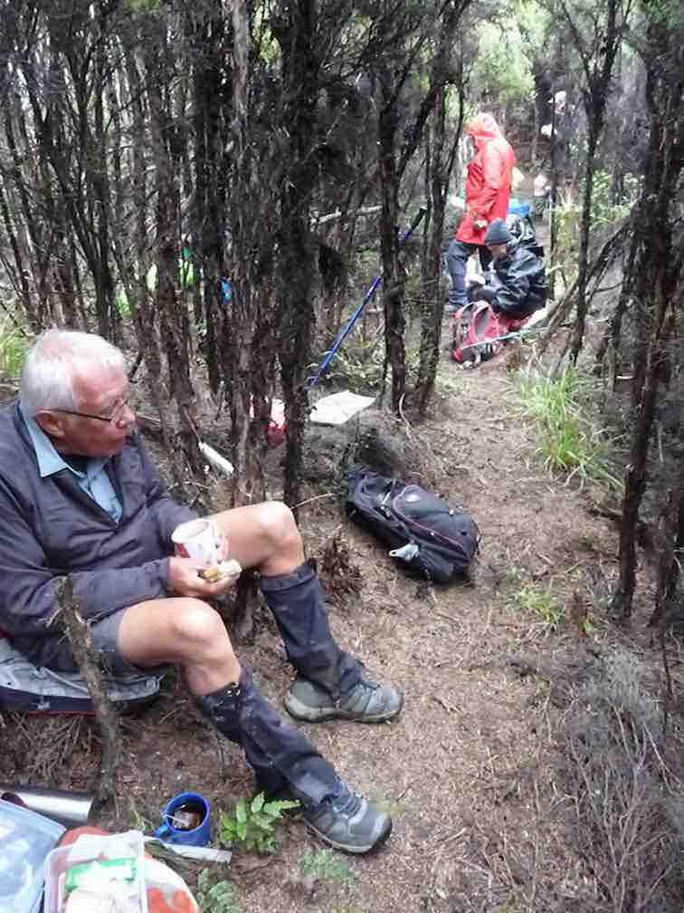
After the welcome food and rest, it was only a few more minutes to the main Sliver Peaks Track. After the track we had been on, it was like a highway!
Turning right, (we turned right at every junction we came to today, except the first and the last ones), we followed it to “Sleepy Hollow“. After a brief rest stop, we were now on the Swampy Ridge Track, which had about 1 km of very muddy track to contend with.
By the time we reached Rollinsons Track, the rain was falling.
A little over half an hour would have us back at the cars, bu we were exposed, and out in the open now. It got colder too, and flurries of snowflakes were observed.
All arrived back at the cars in good condition and in a happy frame of mind. Warm but damp to some degree thoughts turned to home and hot showers, etc.
We had tramped about 15 km, in mostly good conditions, and with a very worthwhile tramp to our credit. Thanks to all. – Art.
2. 20/1/2016. Trampers. Greengage Track, anti-clockwise.
Ten hardy souls set off from sunny Mosgiel for a hard tramp. Travelled up past the scout camp and up to Rollinsons road where we parked our cars.
Within the first 10 mins on the Rollinsons track, some of us had wet feet. One can see why they call this area swampy. Lovely views as we went along our way.
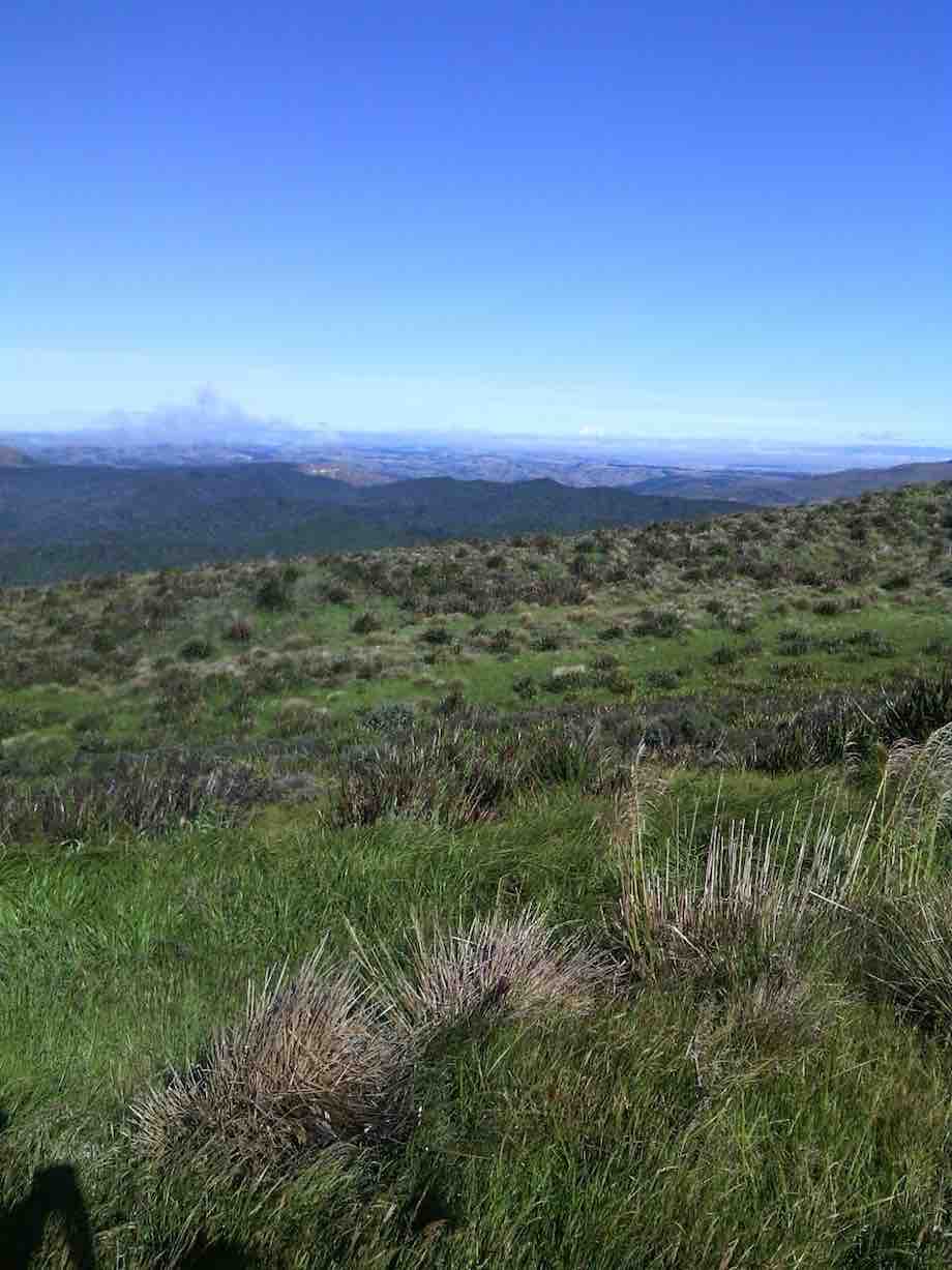
Alas the fog came in and we could not see much. It was nice and warm though. Walked over swampy summit tramp.
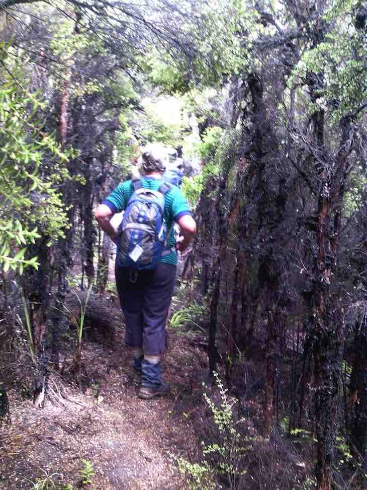
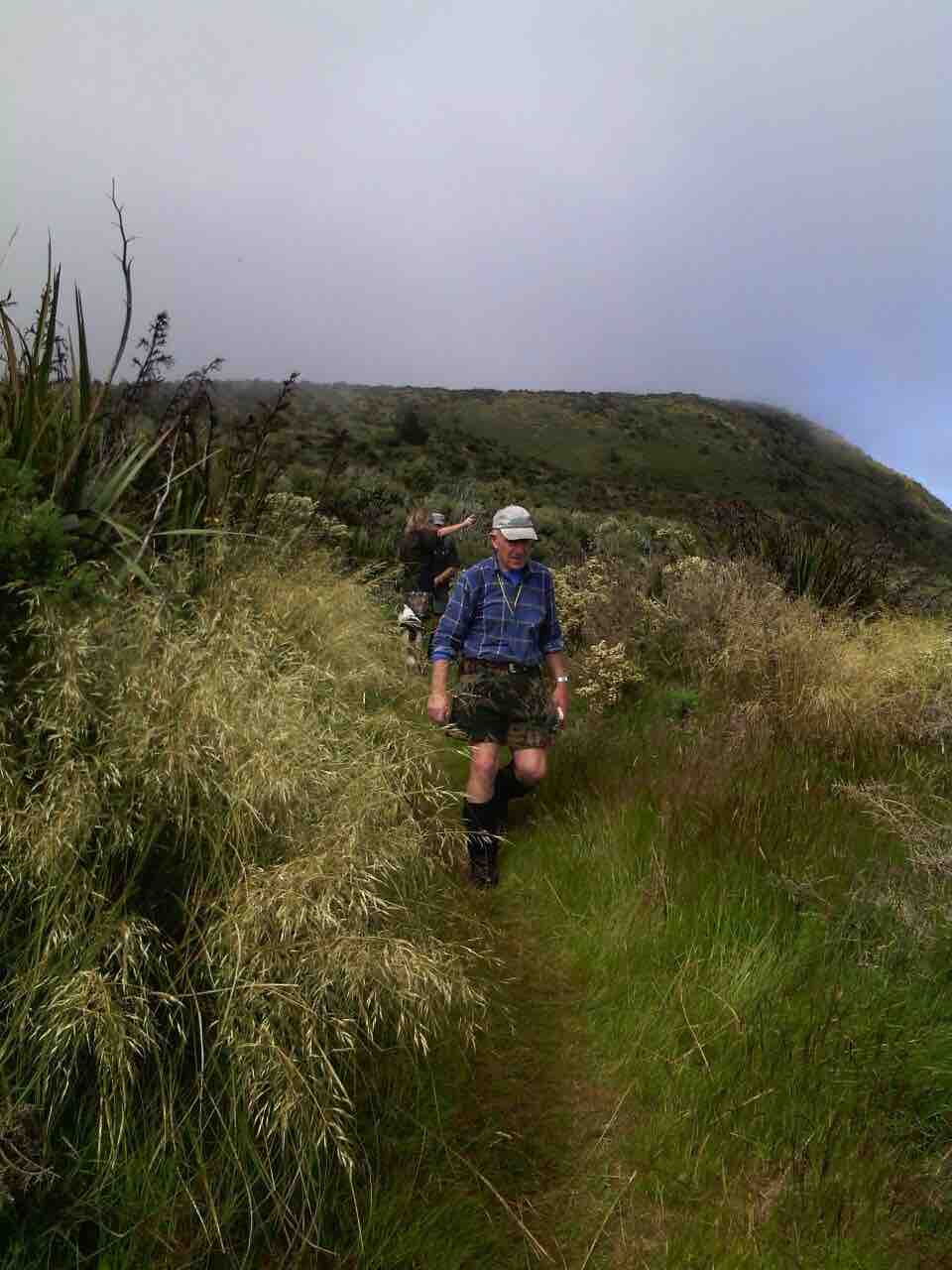
Morning tea stop was about 5 mins from the Green hut.
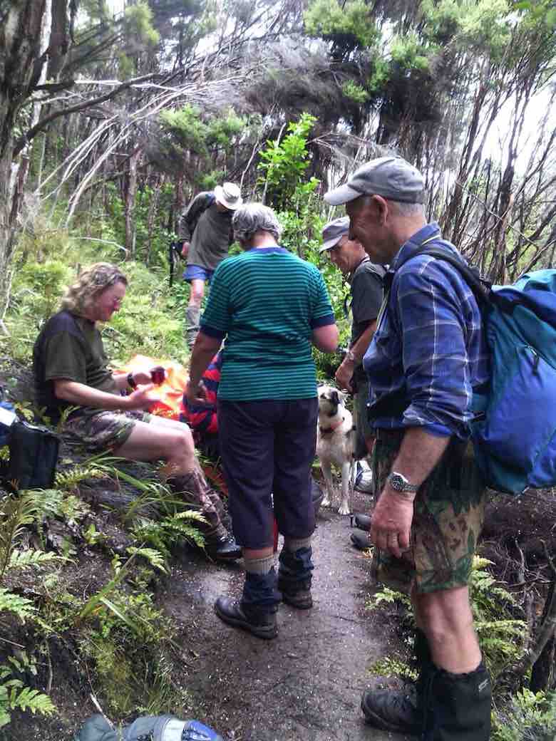
Went onto the Green Hut track then Greengage track. This track not used a lot.
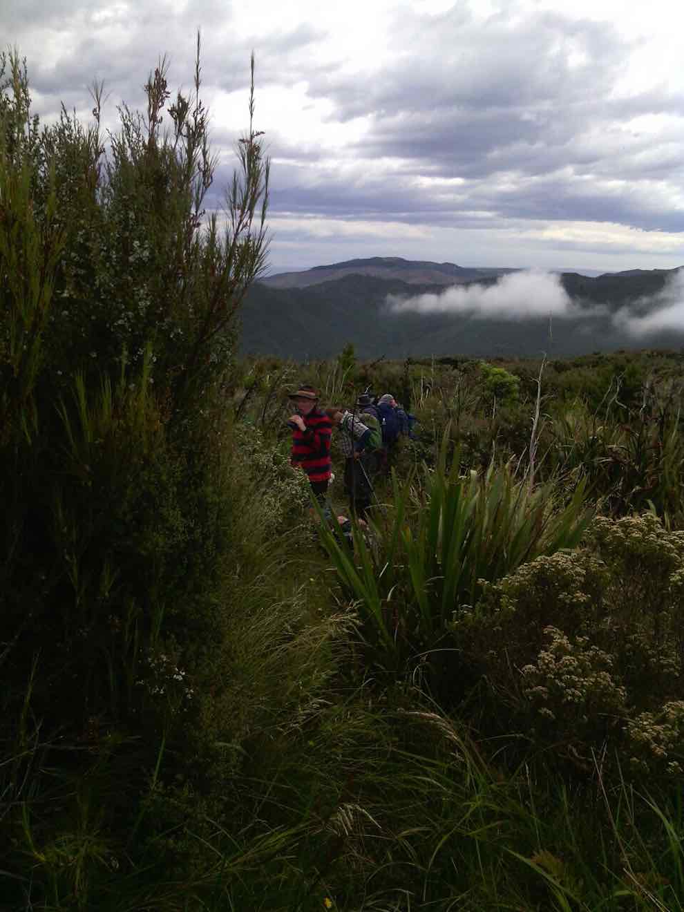
Lunch on this track. Carried along then onto Raingage track and back up to the cars. Lots of quite hard walking up and down slippery hills. A few of us did some bum sliding in patches. Abseiling down about 20 meters and crossing a creek were part of our day. A few stiff bodies as we finished the walk. Lovely to have our search and rescue team Dermot and Fin the dog with us.
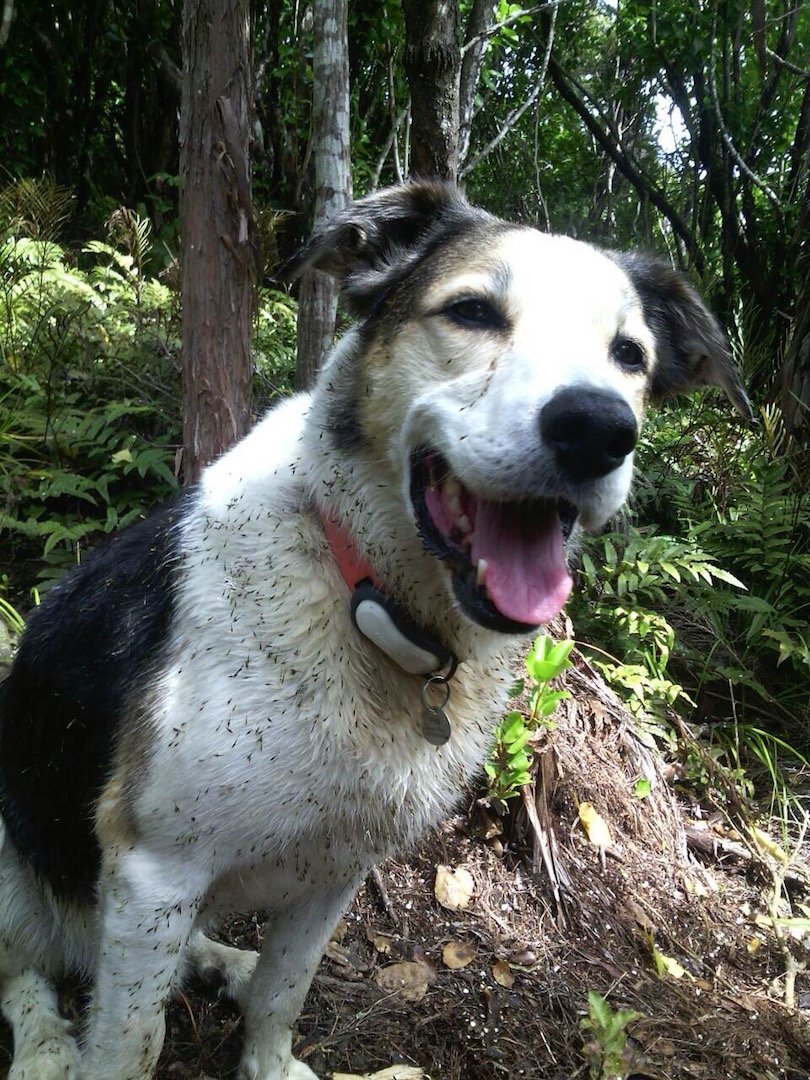
A hard tramp but was very enjoyable. – Helen
1. 27/8/2014. Greengage Track.
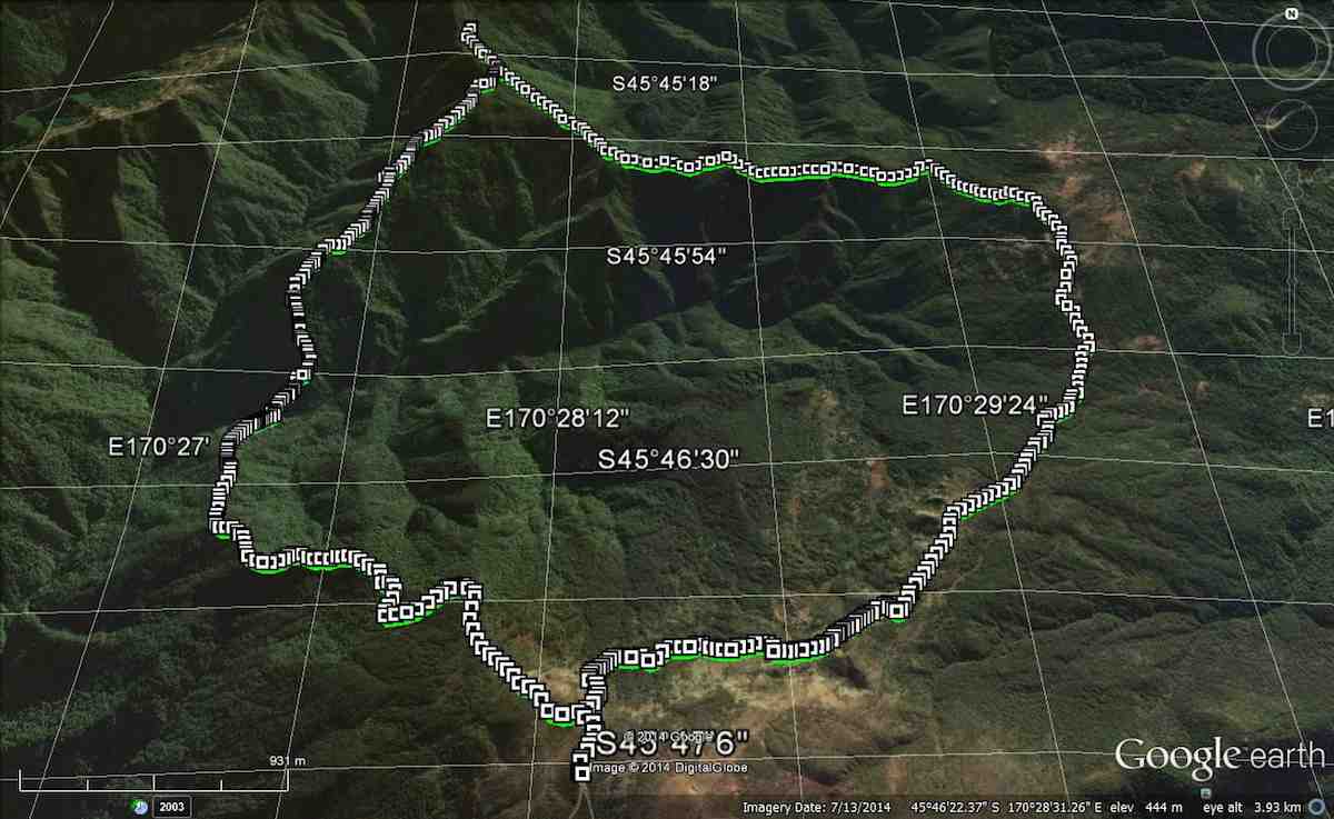
Having cajoled a key from the DCC for the locked gate on Rollinsons Rd. we parked up at the elbow, & made our way over to Raingauge Spur track. Then it was quite a lengthy walk down here, for about 3/4 hr [ including a morning tea stop] from the car before we got to the turn off onto Greengage track. As nobody had done this tramp before, we were all looking forward to it, but didn’t realise just how hard it would be. The track is quite steep, & drops all the way down into the valley, where you cross a stream [ part of the Silverstream headwaters] & clamber out the other side with the help of a rope, which has been thoughtfully put there. From here it is a steep climb nearly all the way up to Green Ridge track, where we arrived about 12:30, & then we walked along the short distance to the Green Hut site, where we had lunch, & a well deserved break.
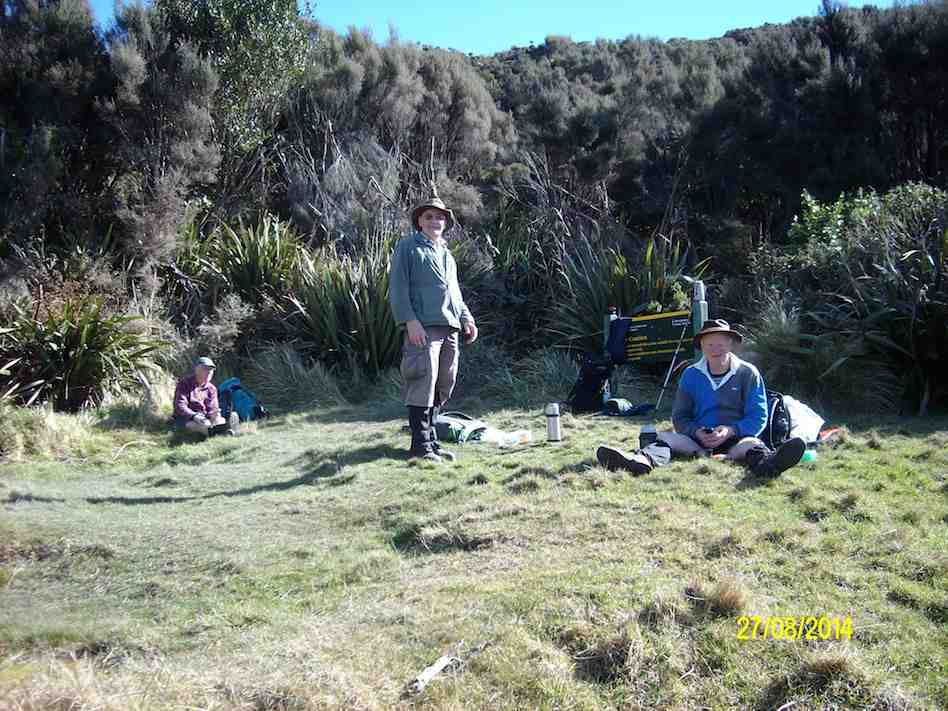
The return journey was supposed to retrace our steps, but I couldn’t face the prospect of climbing all the way back down into the valley, & then climbing all the way back up to the car, I put it to the others that we could take an easier way out via Green Ridge track, & then onto the Swampy Ridge track, then along Rollinsons Track back to the car, this was accepted without protest.
So after lunch we set off again, & turning onto the Swampy Ridge track, we soon discovered why it is called “Swampy” , as there were lots & lots of very wet muddy stretches, which were ankle deep in places. We eventually found the entrance to Rollinsons Track, & made our way cautiously along the first part of this, as markers were conspicuous by their absence. The last half was well marked, & the climb out to the car, up the very wet track [running water] was useful for cleaning our boots !!
This tramp is not recommended for unfit persons !! I was suitably shattered when we arrived back at the car. – Ken.
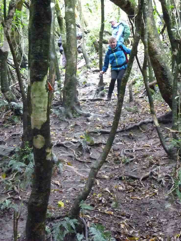
… falling, …
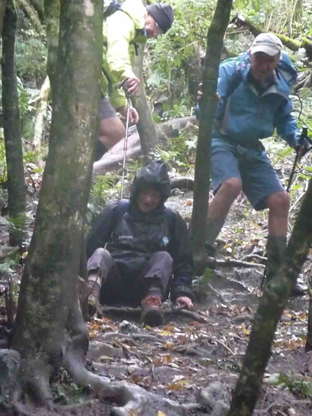
… tree hugging, and even the rolly-polly method. Afterwards I was assured that all had thoroughly enjoyed (?) the experience – which seemed strange to me.
The last leg of our trip was simple in comparison, along the Racemans Track.
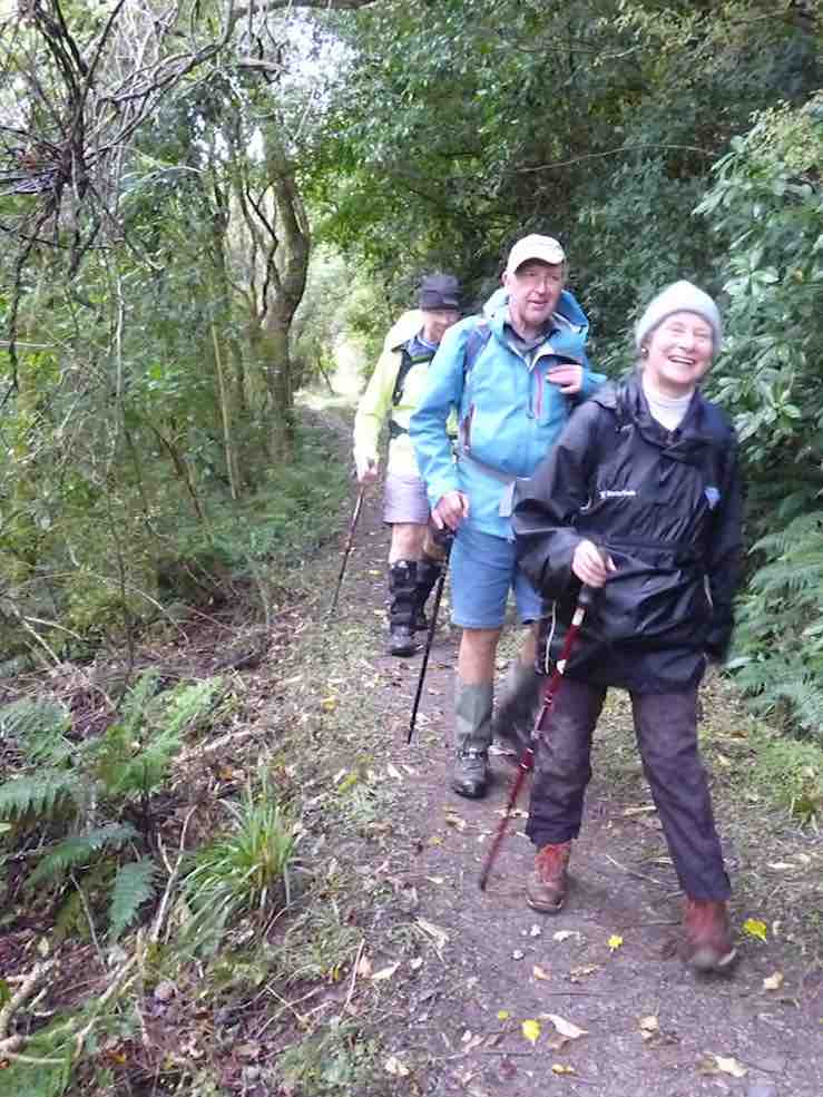
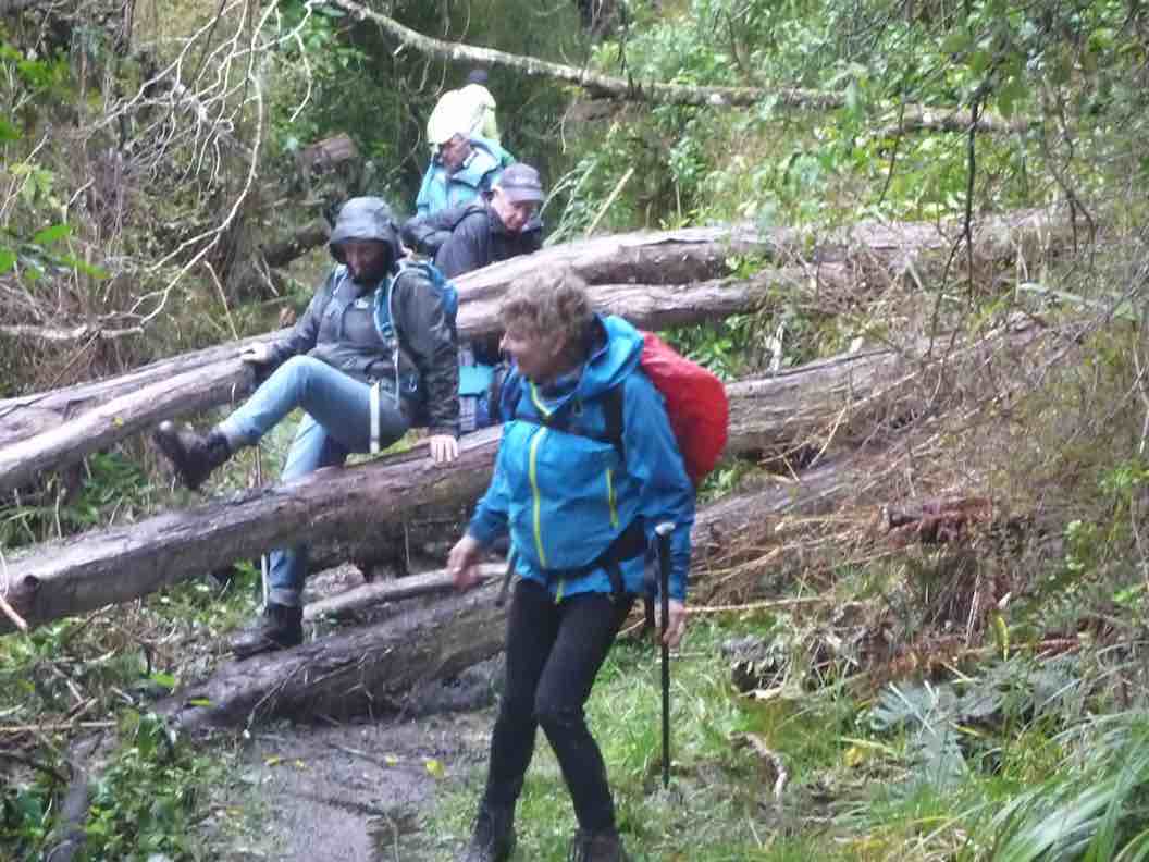
We were back in the cars around 3.15 pm, and I have it on good authority that we had walked 15 km.
The rain had eased off later, and conditions were pleasant other than being cold at lunch time. The leader awards a Gold Star to each of the party for their contribution to a great day’s tramping.
Upon returning to Mosgiel it was decided it would be inappropriate to visit any coffee shop, due to travel stain. – Art.
We reached the junction with Possum Busters at 9.55 a.m. and made this our morning tea stop. There was some dissension about stopping early, but hey, the leader is the boss. (He has to have the occasional privilege.)
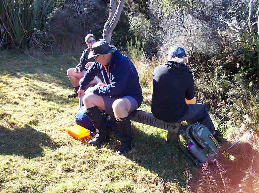
Further up we met 4 trampers and a dog coming down – and soon found that it was the same group that had had morning tea with us a week ago on the Tunnel Track. Pleasantries were exchanged.
Our group powered up the steep upper part of Swine Spur, …
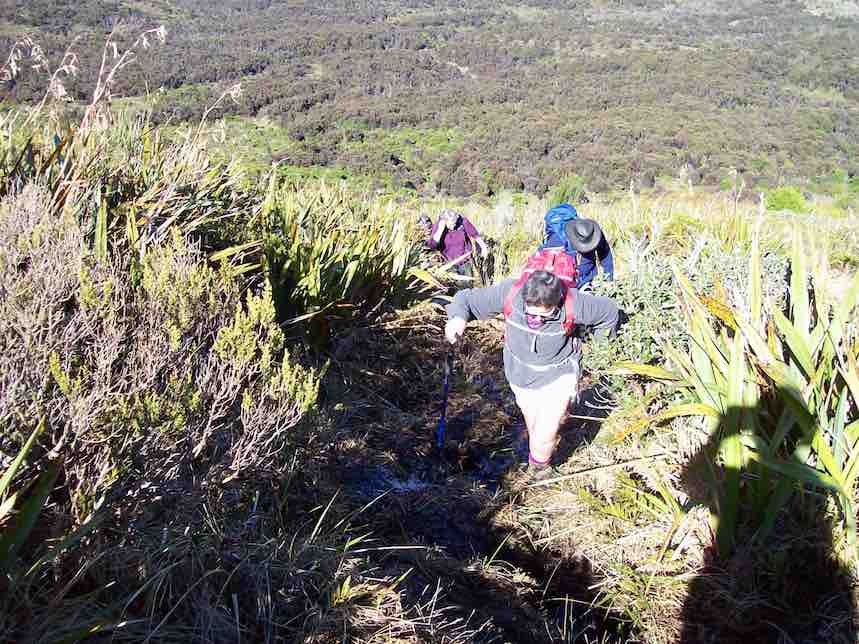
… the talking hardly lessening, …
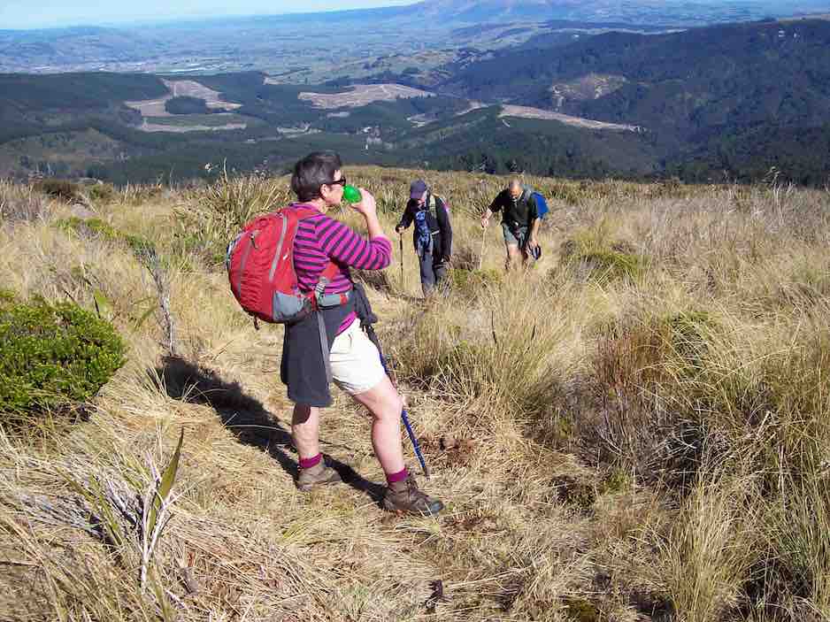
… and we topped out at 10.45 a.m.
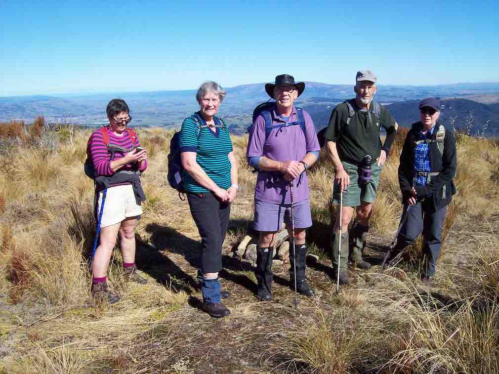
After a brief pause to enjoy the view, we walked the road, passing the VOR aviation beacon on the highest point of Swampy, going down now.
After 50 minutes on the road we were on the track, heading in to Trig Q. On the way past, we stopped to check out the picnic area before heading down the Steve Amies Track.
With perfect timing we stopped at Bryan Freeman’s Memorial Seat to enjoy our lunch. A very pleasant spot with the sun filtering through onto us.
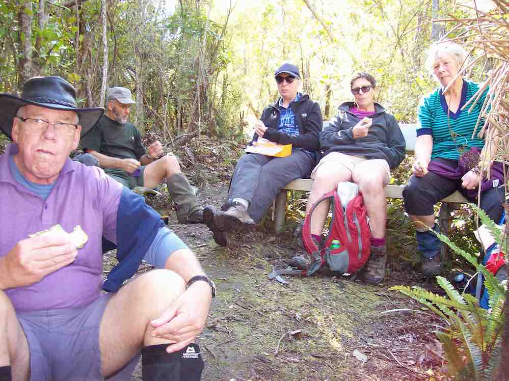
Note – Bryan Freeman was a keen tramper who died here on the Steve Amies Track in 2011. He was the son of Jim Freeman, who is remembered by the track named after him.
We continued down the Steve Amies Track until turning off to the left onto the short steep track that took us down to McRaes Weir and “the rope”.
From there we followed the Tunnel Track, which in turn follows the contour. Easy track but very enjoyable. No-one showed any enthusiasm to enter the tunnels, but we did admire them in passing.
We reached our tramps’ end at the road at 2.15 p.m. My car was nearby and it soon re-united Neil M. with his one at our starting point.
And so, back to Mosgiel. The good weather, together with the variety encountered during the tramp had made for an enjoyable day.
The distance tramped was around 11 km (at a very rough guesstimate). – Arthur.
17. 14/10/2015. Trampers. Little Coal and Steve Amies.
The tramp today was into the Silverstream Tunnels track, up Steve Amies track, & down Little Coal Creek track, with lunch at the picnic area near trig Q at the top,
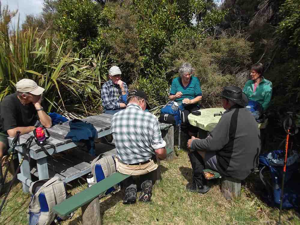
& back along Racemans
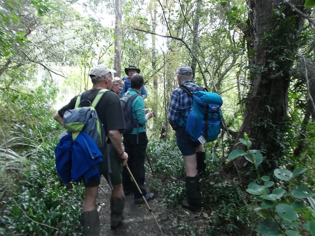
to the cars.
This was an uneventful trip, with no problems encounted. The weather was great, cloudy conditions with very little breeze.
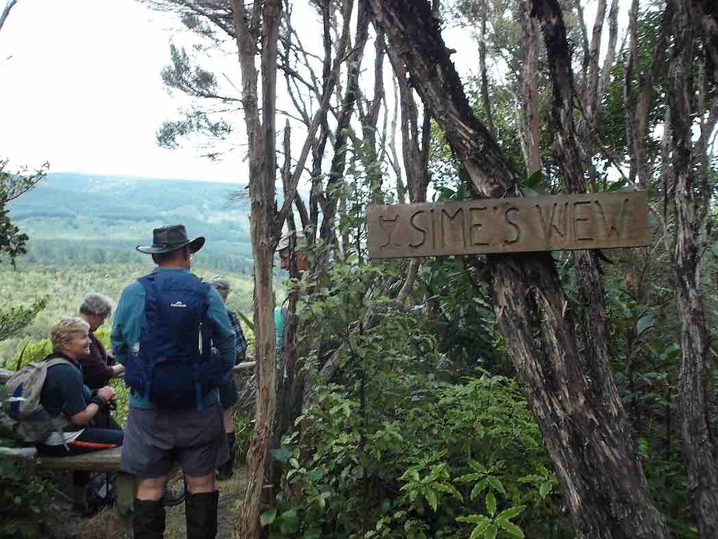
Eight trampers took part in the days activities, including a stop at a viewing spot …
16. 15/10/2014. Trampers. Little Coal Creek, Steve Amies. H.
15. 29/7/2015 Trampers. Little Coal, North Coal.
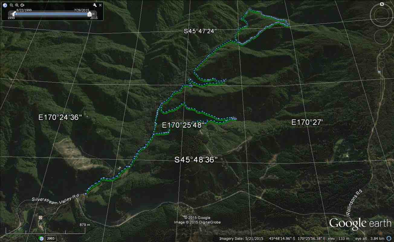
GPS map of route, courtesy Ken. Racemans Little Coal North Coal McRaes Weir Tracks. Walked 14.5 km; 4.3 km/h ave; 3h 23m moving; climbed 460mtrs.
Today was a hurried change of tramp, as when I got up to the Bullring for the start of our tramp, it was foggy, blowing, & VERY cold, so I made the decision to cancel this, & meet at the start of Silverstream Rd. Where we decided what we would do for the day.
We then made our way to the pump house car park at Whare Flat, & set off along Racemans track. When we reached Little Coal Creek track we decided to go up there, & come back down North Coal Creek, if the tracks were suitable. The ground was surprisingly dry, so we had no hesitation about carrying on. After struggling up Little Coal, with numerous stops to regain our composure, we arrived at the junction with North Coal track, so we went down there a short distance out of the breeze to have lunch.
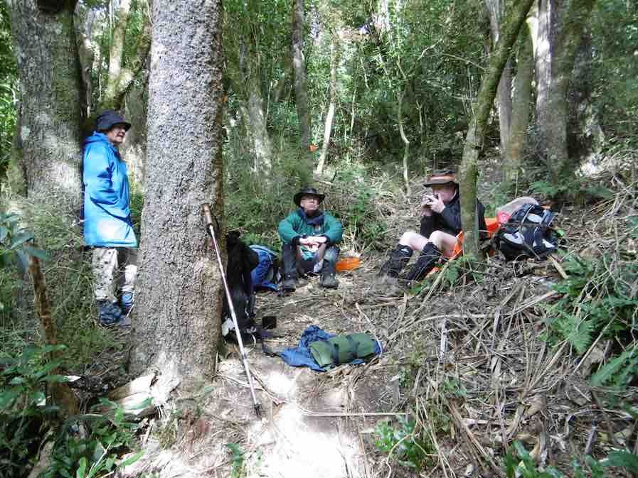
Three of the group at lunch. (Ken pic and caption)
We were all looking forward to descending North Coal, as last time we did it, Finn, Dermot’s dog was the one who led us in the correct direction, as the track was in very bad condition due to storm damage, & was non existent in parts. However, the Green Hut Track group have been through there & reopened it, & put in some more markers, so it is very easy to follow, but quite difficult travelling.
On the way back we went around the McRaes Weir track to lengthen our journey a bit, & walked down the unmarked track that comes out beside the picnic table down near the Silverstream. We stopped here for another cuppa before we walked out to the cars.
There were no incidents today , apart from me slipping off the edge of Little Coal track at one point, & managing to arrest my slid with the aid of a handy tree. No damage apart from pride !!
The day had a few light showers, but didn’t require wet weather gear, however it paid to keep moving, as the temperature was quite cool with the small amount of breeze.
Sixteen of us left our cars at the locked gate on Rollinson access Rd and made our way up to the Track Clearers’ Picnic area. The leaders took us round many of the little nooks and crannies (they just seem to multiply of their own accord), stopping to inspect the labels fronting each bush planting. Of poignant note in front of one bush was a label printed with the name of Les Murcott, whose funeral a number of us had attended only a fortnight earlier.
We stopped off for our tea break.
Arthur led us down and across to Trig Q, and then on down Little Coal Creek until we got to the look-out. We careful negotiated some quite steep parts of the track and avoided any casualties. Then came the more arduous climb back up to the trig and across to the Steve Amies.
This latter track had a much more moderate decline (we stuck to only its upper reaches!), past another look-out, before making another turn around further down, to wander back up to the trig and on to the picnic area for lunch.
On the way across the wee saddle, we stopped to investigate the meaning of a sign indicating a sheltered area, whose side track opened out to a large open area in the bush, marked with a large white wooden equal-armed cross, laid flat on the grass. After some discussion, we decided the area was also to serve as a helicopter emergency landing spot. (There was even a ‘waiting room’ bench for passengers.)
Back up at the picnic area, our leaders discovered for us yet another alcove with ample tables and seats for a comfortable lunch.
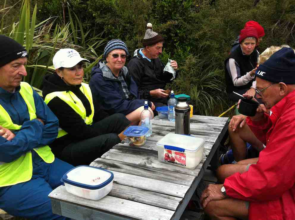
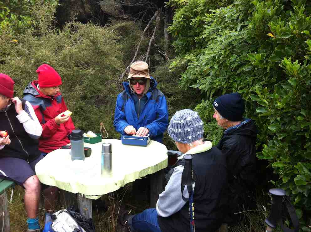
Our leaders took us out to the road by a route different from the one we had entered by, and lo and behold, a salubrious shelter, doubtless erected by the track clearers for their comfort. Bravo.
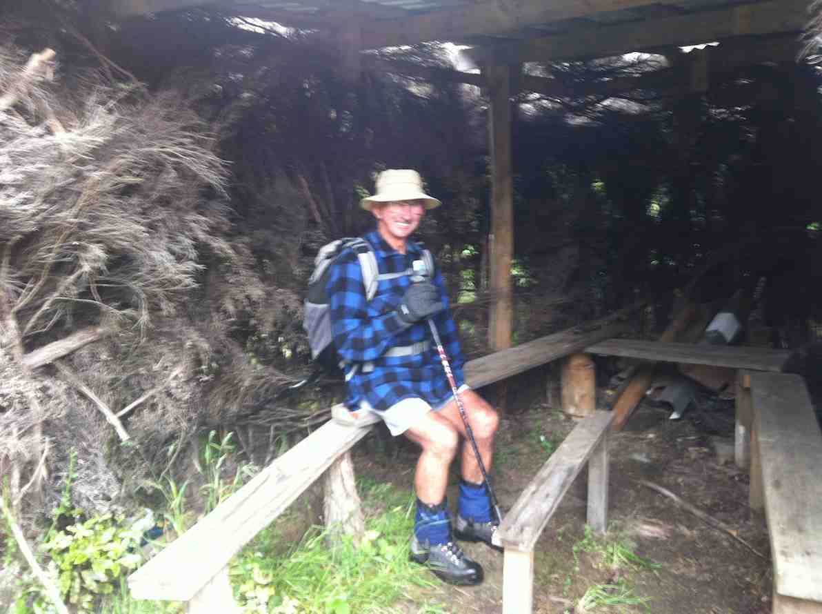
Then we had only a stroll back down Rollinson Road to the cars. A leisurely 5.5 km walk, (as measured by two with their measuring devices.) Thank you, Barbara and Arthur for your careful leadership. – Ian.
Five of us had a great day doing the two ridges. The Steve Amies was as steep a struggle as ever at its foot. The easier bit at the top seemed much longer than the writer’s memory had shortened it. We had a leisurely lunch at the set of seats and tables a little beyond trig Q. Sunny and no wind. Great.
Then back again and down to where Little Coal Creek branches off from North Coal. Again the first bit of climbing on Little Coal had escaped the writer’s memory. The steep ridge descent needed careful negotiating. One of the party was heard vowing it was a track they would never wish to ascend. Then it was off the ridge and down the side. The ground is so heavily littered with twigs and leaves that it is almost impossible to keep one’s feet on the steep bits.
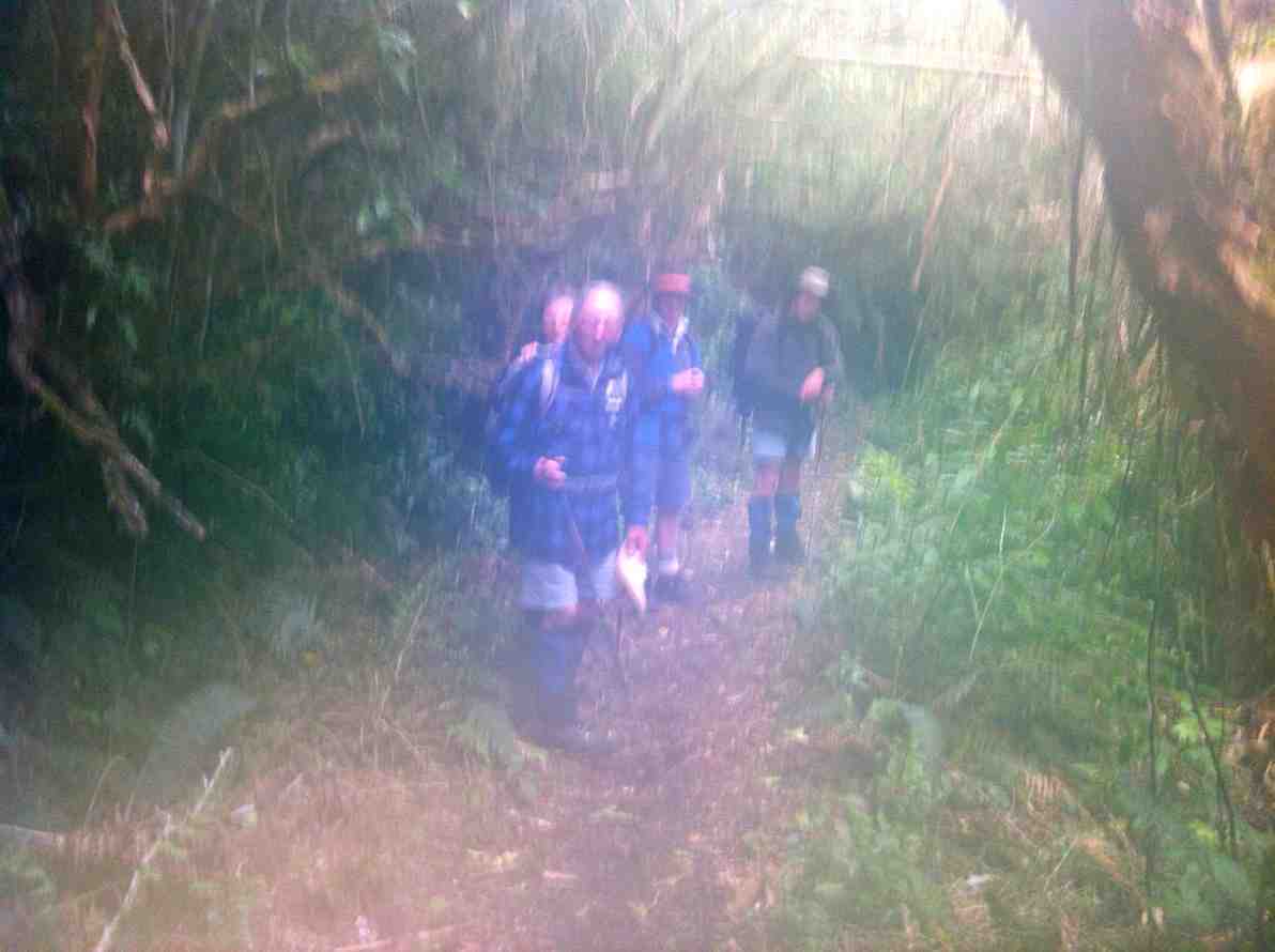
Forgot to take photos! And the one below, taken back on the Racemans turned out mysteriously bad.
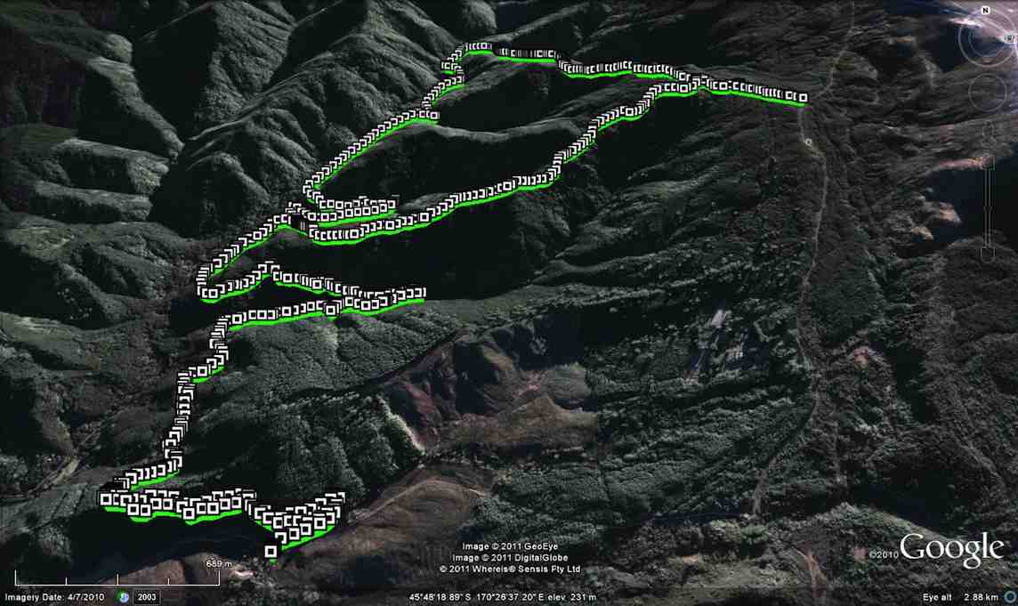
We elected to take the McRaes track back. The GPS of the route brings out the depththat the gully takes the track into before emerging back out again. We stopped en route for a drink break as it had been a longer day. We made our way around until turning off at the junction with the Tunnels Track onto the connecting track that took us down to emerge by the swing bridge.
A longer day – we got back out about 4 o’clock. Considerable height climbed and descended. A good work-out. And it was our good luck that the promised rain held off until we were back in the cars again. – Ian.
We decided to do today’s tramp from the school house at Whare Flat. We parked in the normal position by the house, & joined the tunnels track at the normal place [wire across stream]. We walked along the Tunnels track/Racemans track [had morning tea in the pine trees again] until we came to Little Coal Creek track, where we had a meeting on whether we go up that one or carry on to the North Coal Creek track. Nth Coal won out, so we went there, & up Nth. Coal Creek. We had lunch overlooking Longridge, from that nice lookout point.It was quite a late lunch, as we decided to get to the top [almost] before having lunch. [It was 12:15 when we got to the bottom of the Nth. Coal Creek track.]
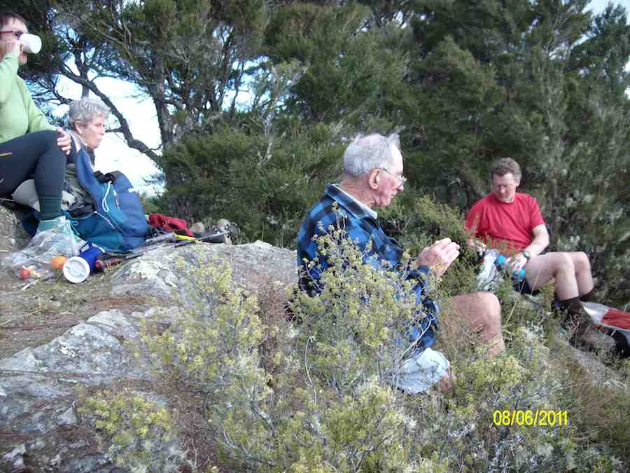
After this we went up to the picnic area, …
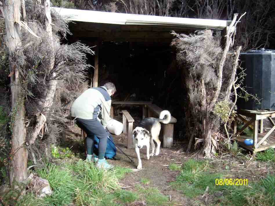
… & road, where we had another meeting about how we go back again. It was decided that we go down Steve Amies track, so off we went, with everybody starting to get a bit tired. We arrived back at the cars at 5:00pm, having started at just before 10:00am.
We started our descent at 2:30, so it took 2 1/2 hrs to walk back. Maybe better to do this tramp when we have a 9:00am start, as it was starting to get a bit dark by the time we got back. Also, we were not wasting any time while walking along the Racemans etc, much faster than we would normally be going. The trip could be shortened a bit by going in at the pumphouse, but how much that would cut off I don’t know.The day was fine & sunny, but cool & calm. The tracks were mainly dry, & only muddy in the normal Racemans track positions. The hill climbs/descents were quite good. Some parts of the tracks need a bit of clearing, but not too bad in general. – Ken.
11. 18/3/2009. Hikers. Steve Amies from Access Rd Hikers E+ Bev H, Joyce S
10. 25/7/2007. Hikers. Access Road, Steve Amies. Leaders: Bob H, Graham.
9. 19/5/2007 Trig Q from Silverstream via Steve Amies track. Steve Amies Track Circuit Leaders: Ria L, Hazel
6. 27/7/2005 Tunnel, McRaes Weir, Steve Amies, Trig Q, Picnic Area; Little Coal Creek, Racemans. Bob H, Les W, Mary M
5. 21/7/2004 Trampers. Lake Whare, Steve Amies, Trig Q. Medium. Leaders: Ian, Bob H
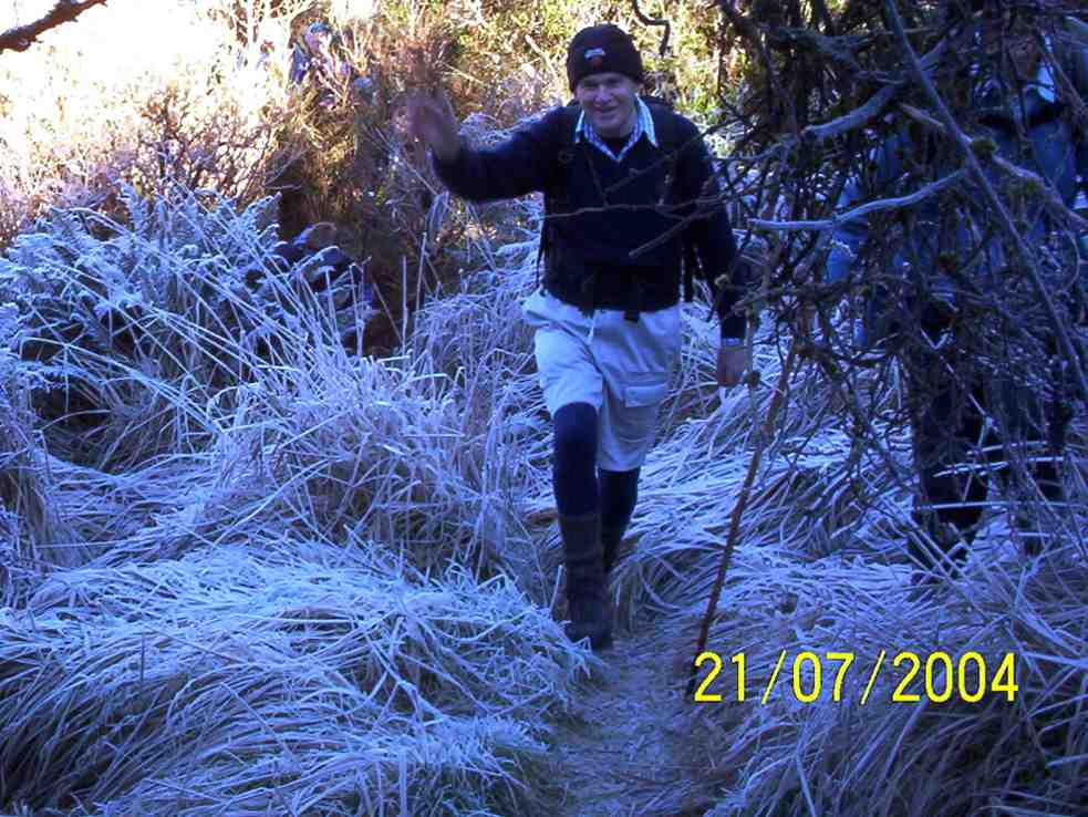
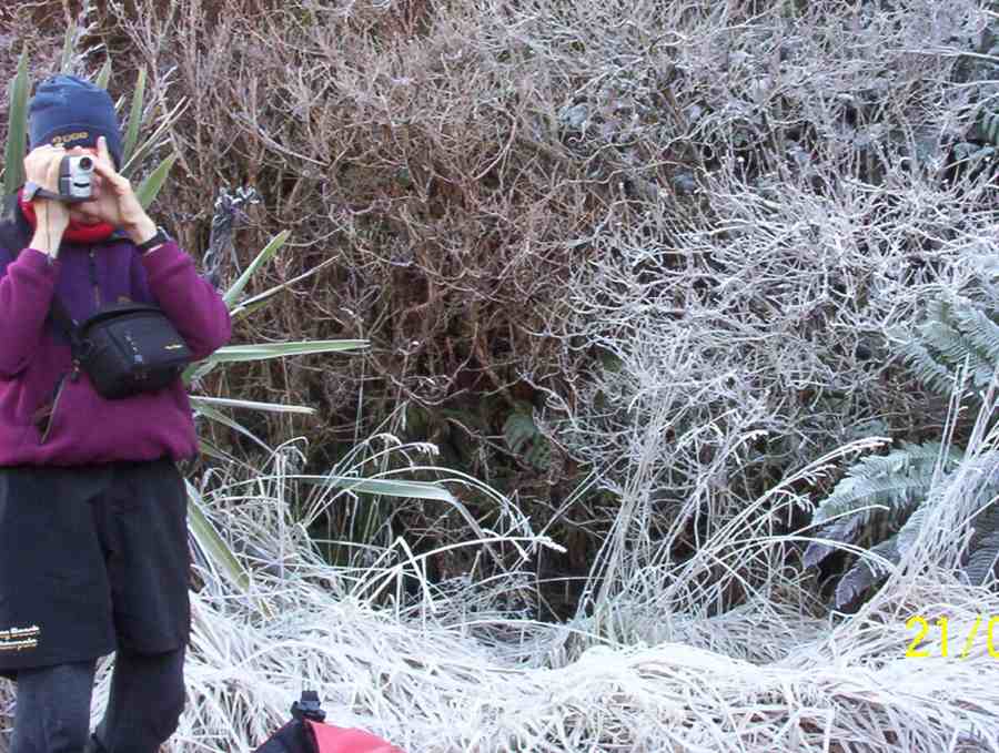
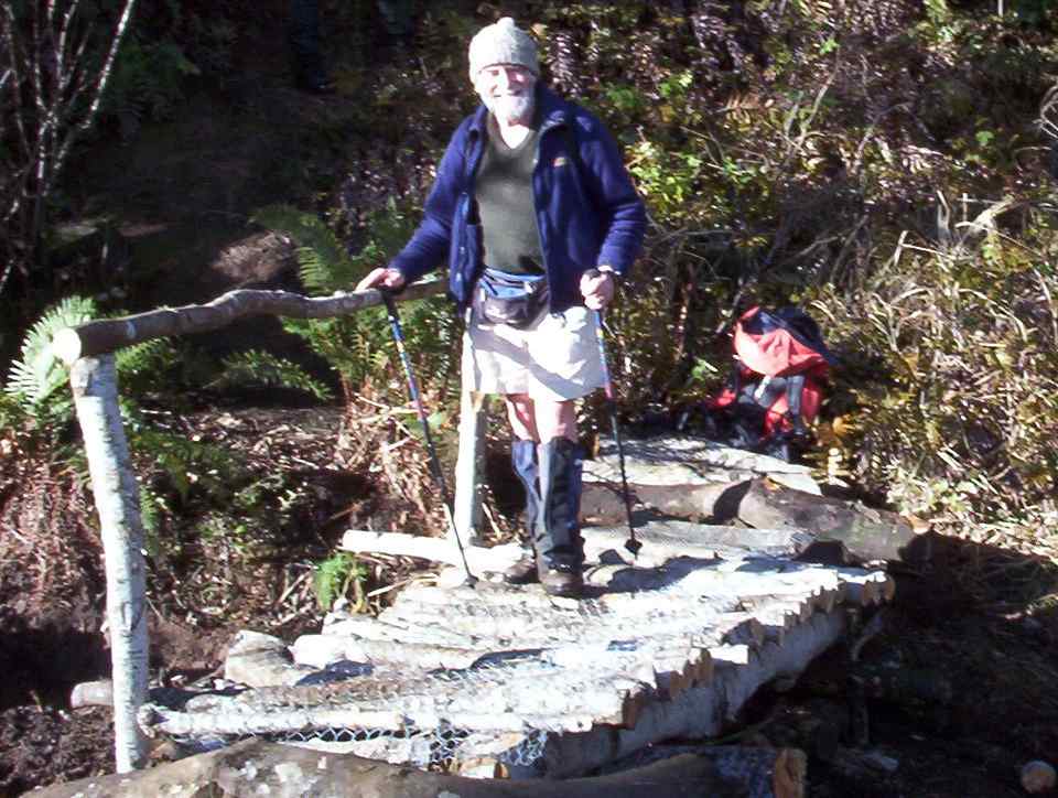
4. 9/7/2003. Trampers. Tunnels, McRaes, Steve Amies, North Coal Creek, Racemans.Medium. Leaders: Irene, Doug J.
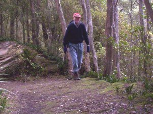
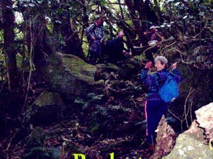
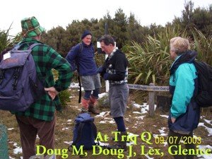
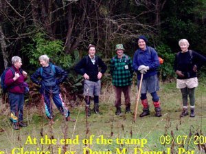
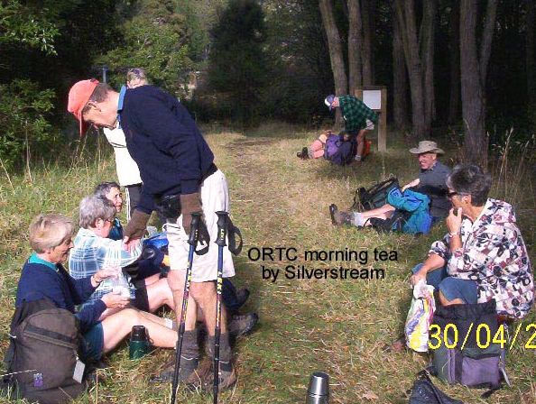
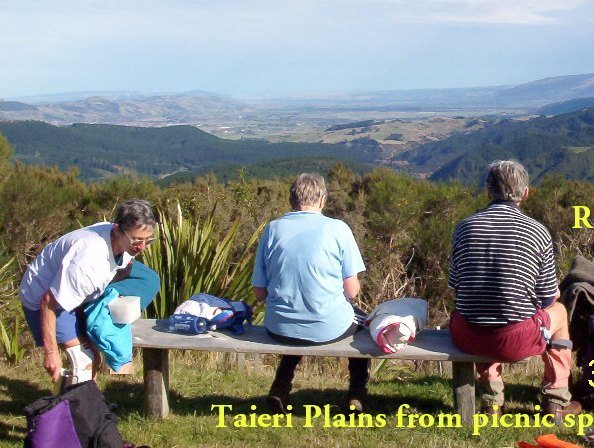
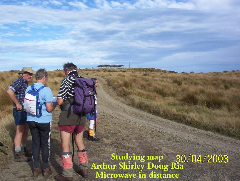
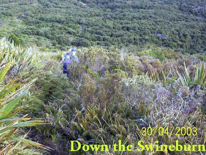
3. 30/4/2003. Steve Amies, Trig Q, Swineburn Photos
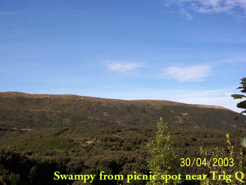
2. 23/10/2002. Tunnels – Steve Amies – Little Coal Creek – Racemans. Medium+. Leaders: Lex, Bob H, Wendy B.
1. 2/2/2000. Trig Q from Silverstream via Steve Amies track. Steve Amies Track Circuit Leaders: Peter B, Lex
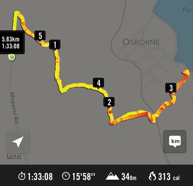
37 km from car park to Mopanui Road end, and 40 km to
foot of McKessar Road.
Doctors Point, Mopanui, McKessar, Purakanui, Osborne – Information and Trips Library
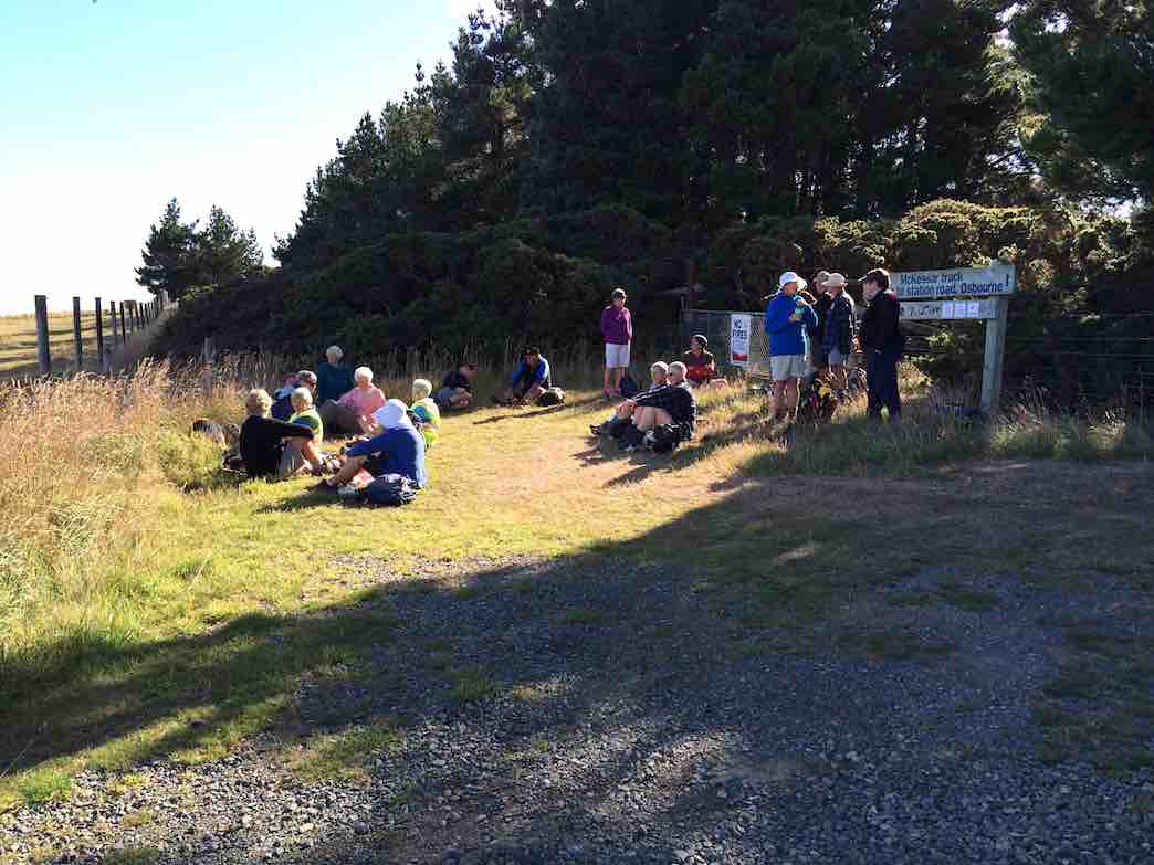
3. 29/8/2018. Hikers. McKessar Track from Foot. E. Leaders: Jim and Betty.
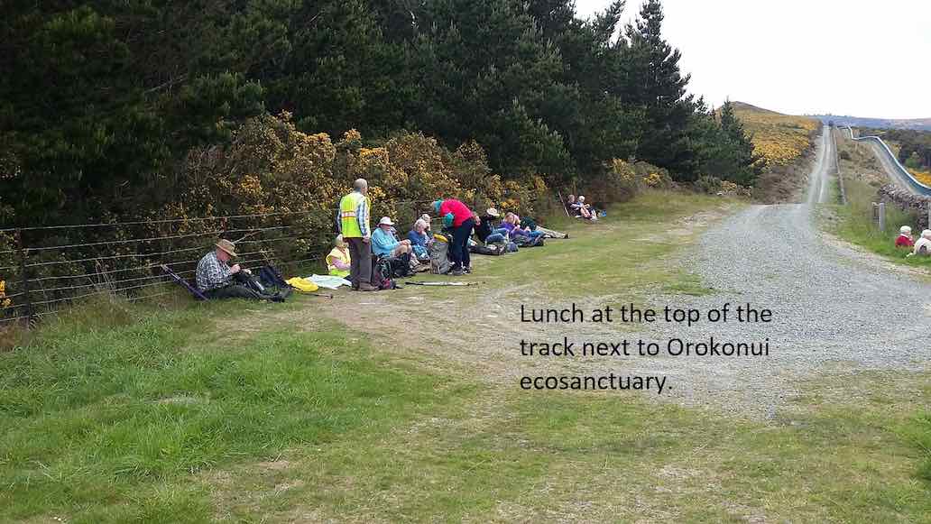
The sun was not shining when we left the car park and as we approached Port Chalmers it looked like it would be a day destined for coffee only. As we continued our journey, there was a marked improvement in the weather as we reached the Purakaunui Railway Park. From the car park the walk was down hill to Sea level then back up the road to the cars for the morning tea break. All the Twenty Two then walked up to our lunch stop at Mopanui Road where we sat with our heads in the cloud. The up hill climb included a breather to marvel at in the relics of the McKessar Homestead. We descended back down the track & into the cars for our refreshment stop at the Plazza Café. Conditions could be described as a little moist. – Betty & Jim Finnie
2. 15/11/2017. Hikers. Purakaunui Station. McKessar Track, Mopanui Road. E. Leaders: Jim and Betty.
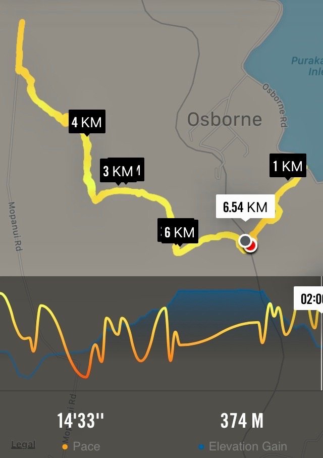
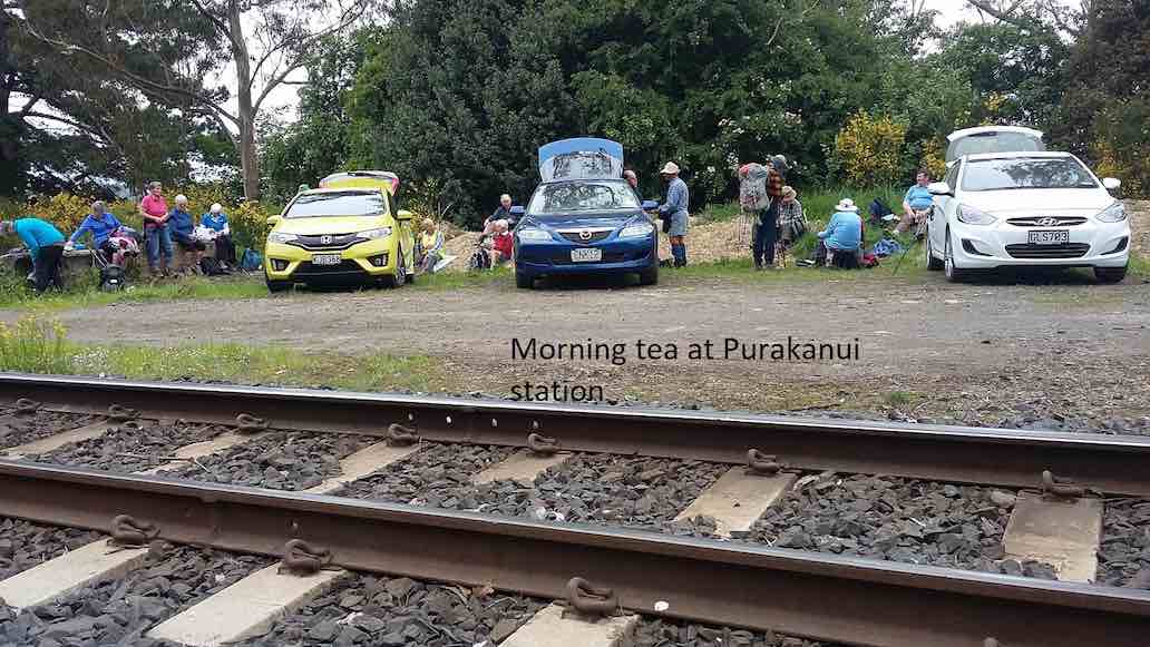
Starting off from the site of the old Purakanui railway station, a party of twenty hikers made the short road walk down hill to the Purakaunui inlet for an then returned, for the morning tea stop at the cars.
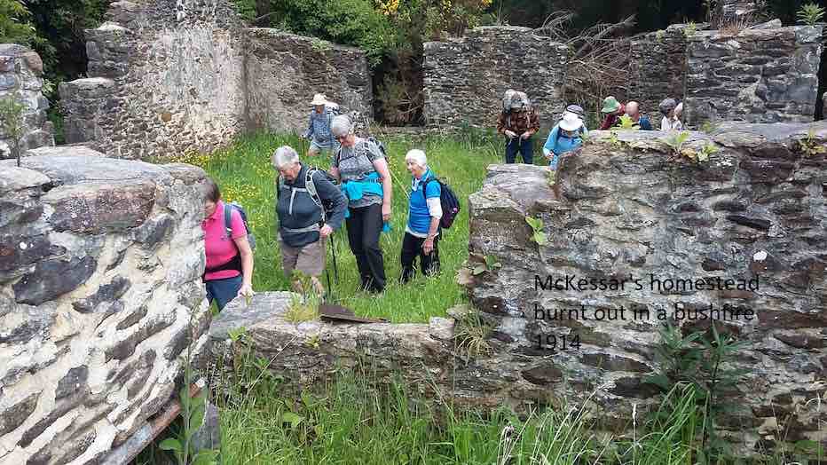
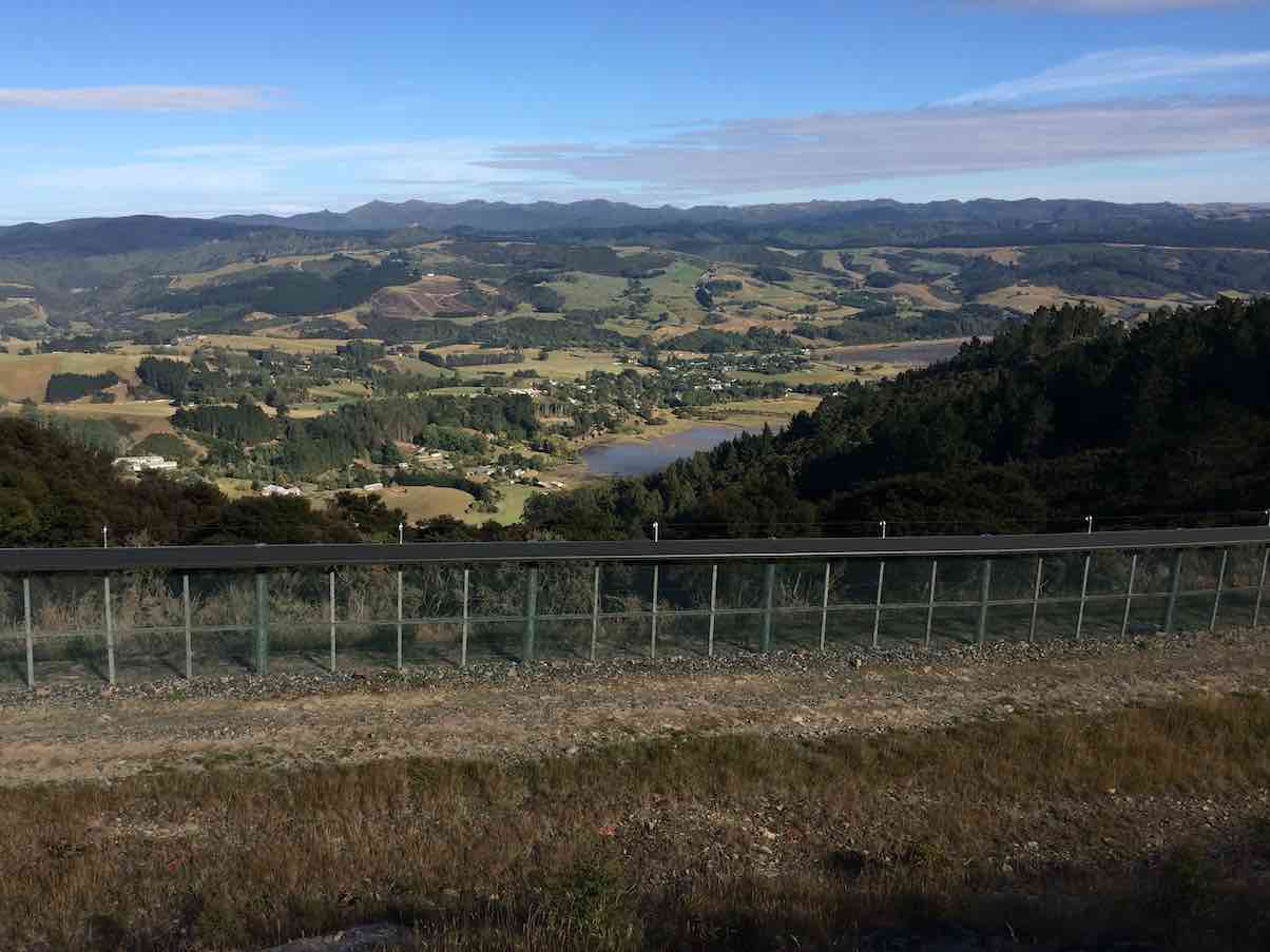
An after-lunch
stroll beyond the road end, took us to a point which gave us an excellent view to the north. Little time was required for the pleasant stroll down hill back to the cars, which took us to our refreshment stop at the stadium Plaza cafe. – Betty and Jim
1. 9/3/2016. Hikers. Mopanui Road, McKessar Track, Albert Road. E. Leaders: Bev, Lesley.
MINUTES OF THE 30th ANNUAL GENERAL MEETING OF THE TAIERI RECREATIONAL TRAMPING CLUB HELD AT THE MCKERROW LOUNGE, MOSGIEL PRESBYTERIAN CHURCH ON THURSDAY, 23 AUGUST 2018 AT 1.30 PM
PRESENT: J Dodd (Chair), P & W Bathgate, D Bennett, J Butcher, P Clough, J Dennison, J Devlin, J Finnerty, I Fleming, G Grant, L & A Griffin, L Harvey, A Heenan, C Hughes, P McLean, D Mellish, D Moir, H Morris, K & S Munro, B Shackell, N & M Simpson, L & M Smith, B & M Spittle, T & D Stratton, M Vaughan, T White, J Yardley.
APOLOGIES: E Cooper, C Crossman, D Poole, J Rennell, B Mitchell, B & J Finnie, J Knox, L Gowans, J Reid, P & R Keene, B Harvey, B McLean, E Ryan, N & C Morrison, B Wright, G Haggie, J Ronald. Moved I Fleming/seconded L Harvey that these be accepted. Carried
MINUTES OF PREVIOUS MEETINGS. Minutes of 29th AGM dated 25/8/17 were taken as read having been previously circulated. Moved I Fleming, seconded A Heenan that they be confirmed as a true and accurate record. Carried.
Matters arising: Nil.
PRESIDENTS REPORT. President, J Dodd, presented her report for the year. The club is in good heart with growing numbers over the last year, in particular the number of trampers. Three overnight camps were held, and more in the pipeline. 20 members attended a First Aid Course run by the Red Cross. Other activities included a E-bike ride and a travel evening organised. Proceeds from these went toward fund raising for the proposed Taieri Aquatic Centre. The 30th anniversary dinner in March was very well attended, and Margaret and Les Smith were presented with life membership. Jenni Wright and Margreet Simpson were thanked for sewing boot bags to be distributed to members. Also Jenni Wright had made dresses which were sold at the travel evening. Moved L Smith, seconded B Shackell that the financial report be adopted. Carried
FINANCIAL REPORT
Financial statement for the year ended 30/6/18 was presented by the treasurer. Bank balance stands at $490.51, petty cash $4.60. Funds had increased in the 2017/18 financial year. Moved I Fleming, seconded P Clough that the financial report be adopted. Carried. S Munro queried the lack of the secretary/treasurer honorarium in this year’s accounts.
Moved L Smith, seconded M Vaughan that the $50 honorarium be reinstated Carried.
Subscriptions: Moved J Yardley, seconded M Smith that subs remain at $5, plus $10 joining fee for new members.
Auditor: Moved J Yardley, seconded J Butcher, that Keith Mackenzie continue as auditor.
GENERAL:
Name tags – Lester Harvey had suggested at the previous committee meeting that the club purchase name tags holders to make it easier for new members. He had a sample, but general concensus was that they would not be suitable. Lanyards were suggested as a better alternative, and enquiries to be made as to price.
Track clearing – Arthur Heenan reported this would commence later in the year, probably on a Monday. Any help would be appreciated.
Club shirts – this had not been proceeded with as felt there was insufficient interest, but President would make enquiries as to cost.
There was no other business, and the meeting closed at 2.15 pm.
Guest speaker, Geoff Woodcock, gave a run-down on progress and fund raising to date for the Taieri Aquatic Centre. Thanked by Peter Bathgate, and presented with a donation to the pool.
Confirmed ………………………………………..(President) Date ………………….
27/6/2018 Outram Ramble E. Leaders: Peter and Wendy
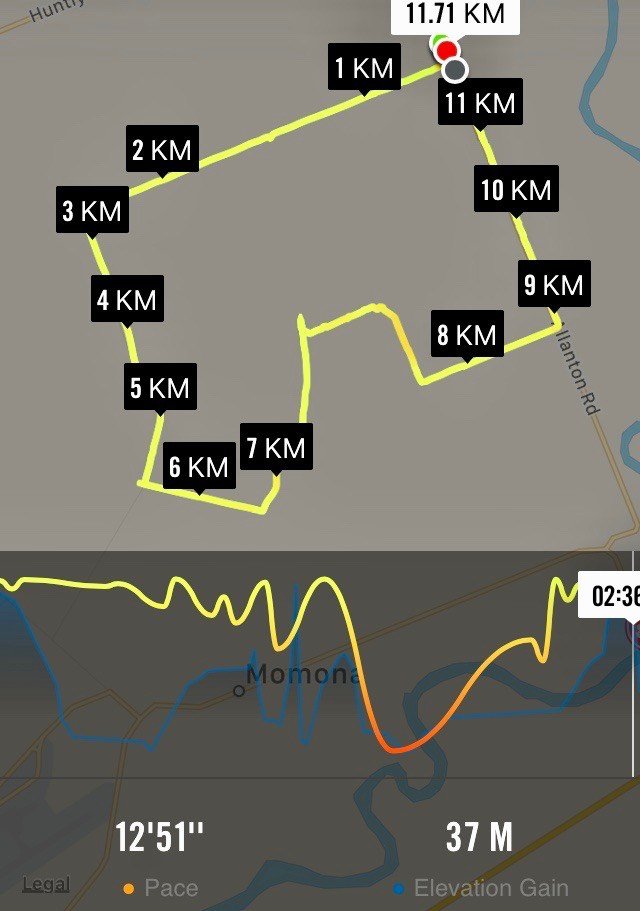
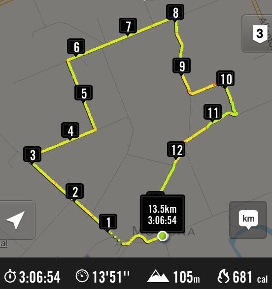
27/5/2015. Momona Environs. E. Leaders: Peter and Wendy.
23 of us started from Momona Hall
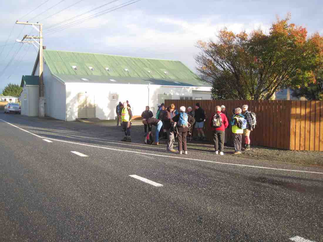
at the intersection of Centre Road and Nichols/Bruce Roads. Some distance south (approx) along Centre Road we turned aside into what Peter told us was the original route of the road to emerge back a little further on. Towards the corner we cut through a lane to emerge on Millers Road (kms 1 & 2) which we followed down past some fattening turkeys
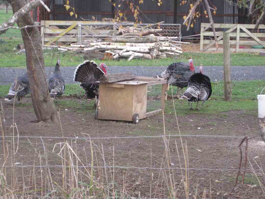
to turn into Bremners Road (kms 3 & 4).
We stopped in a gateway for morning tea, partly sheltered by a belt of trees. The small cold wind forced us into wind-breakers at this point.
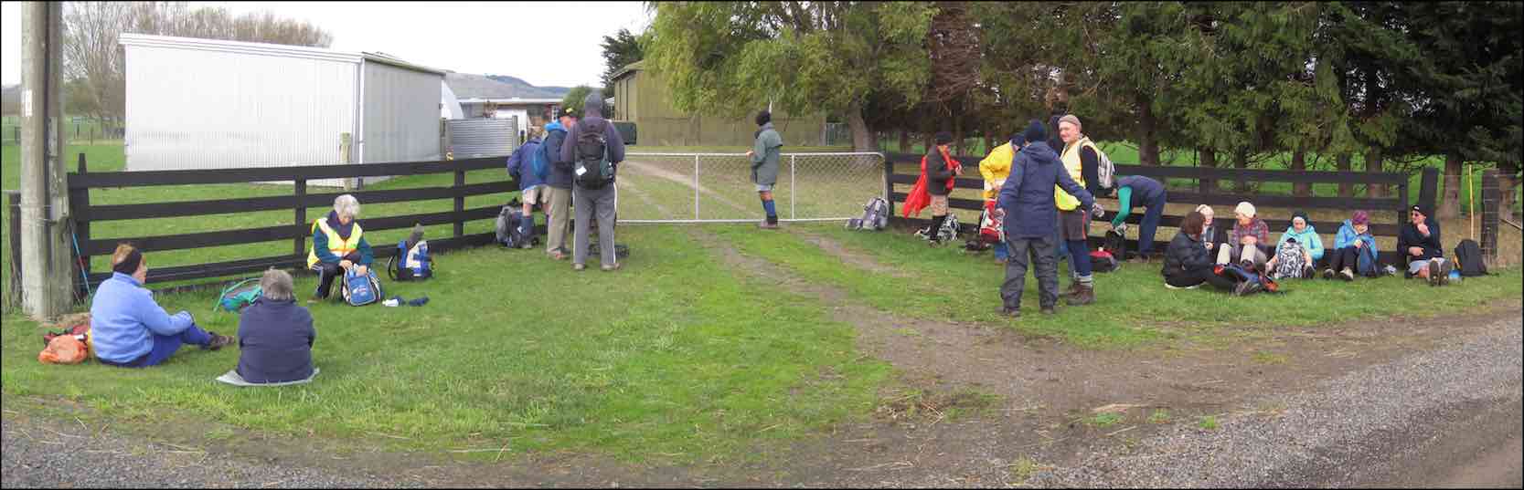
From Bremners, we turned down Lee Creek Road (km 5) and then along Granton Road. Next turn was into Beehive Road, (kms 8 & 9) our first road to take a more winding route, and this led us eventually to a turn into a paddock whose fence line led us across to the Janefield homestead, (km 10) where we lunched. This was just as well, for Lesley’s legs had started to go ‘rubbery’.
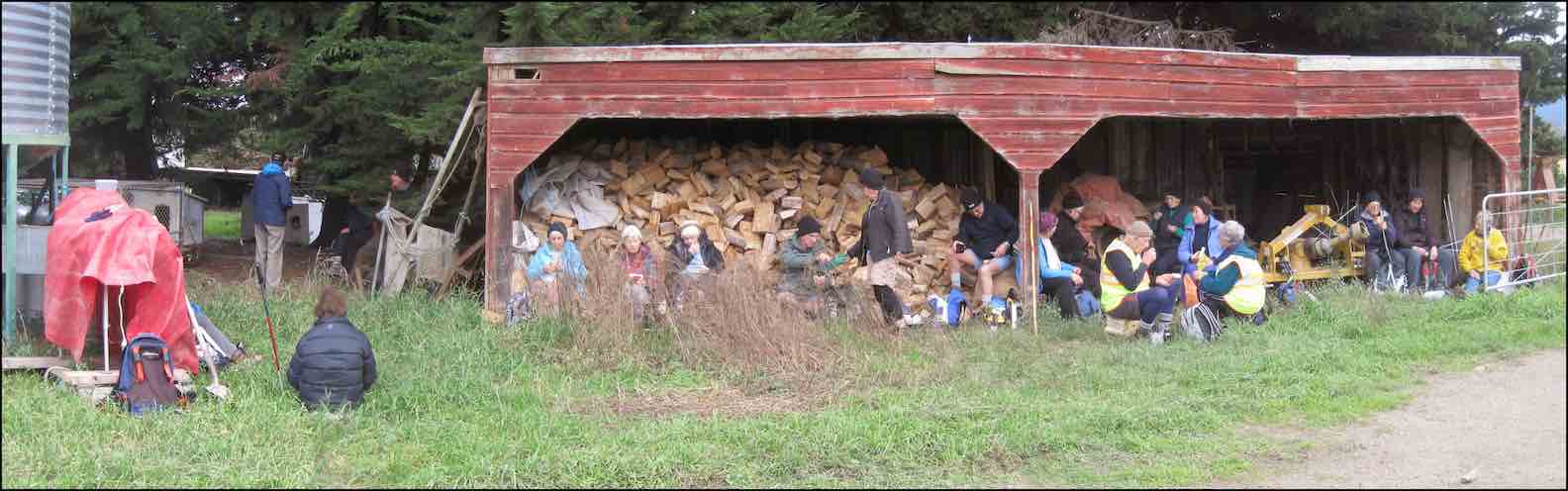
This was Ian Bathgate’s property. Peter had been telling us about his Bathgate relatives’ history on the Taieri Plain.
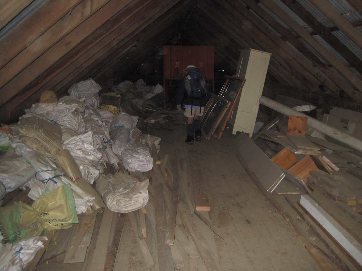
The feature of Janefield was the huge barn loft where dances had been held in times past. Now it was just used for storage.
As we turned the corner we were confronted by a large stock truck loading loin chops in their original form.
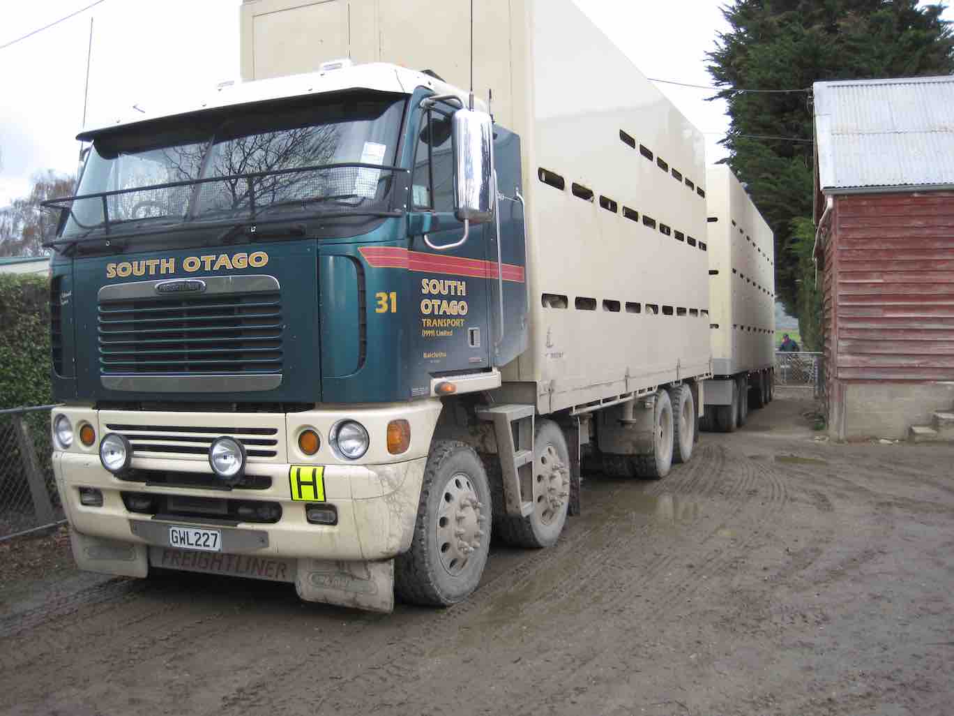
The road out from Janefield came out on Nichols Road (kms 11 & 12) which by various twists and turns led us diagonally across the plain eventually back to our cars.
Thanks, Peter and Wendy. A good winter’s (well, weather-wise anyway) road walk – an alternative to what would have been a soggy farm walk to Weka Falls. And an original choice too. A new ‘first’ for the club through a bit of Bathgate family history! – Ian.
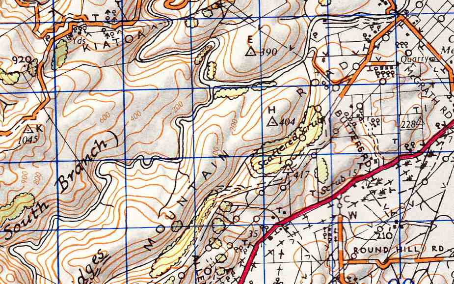
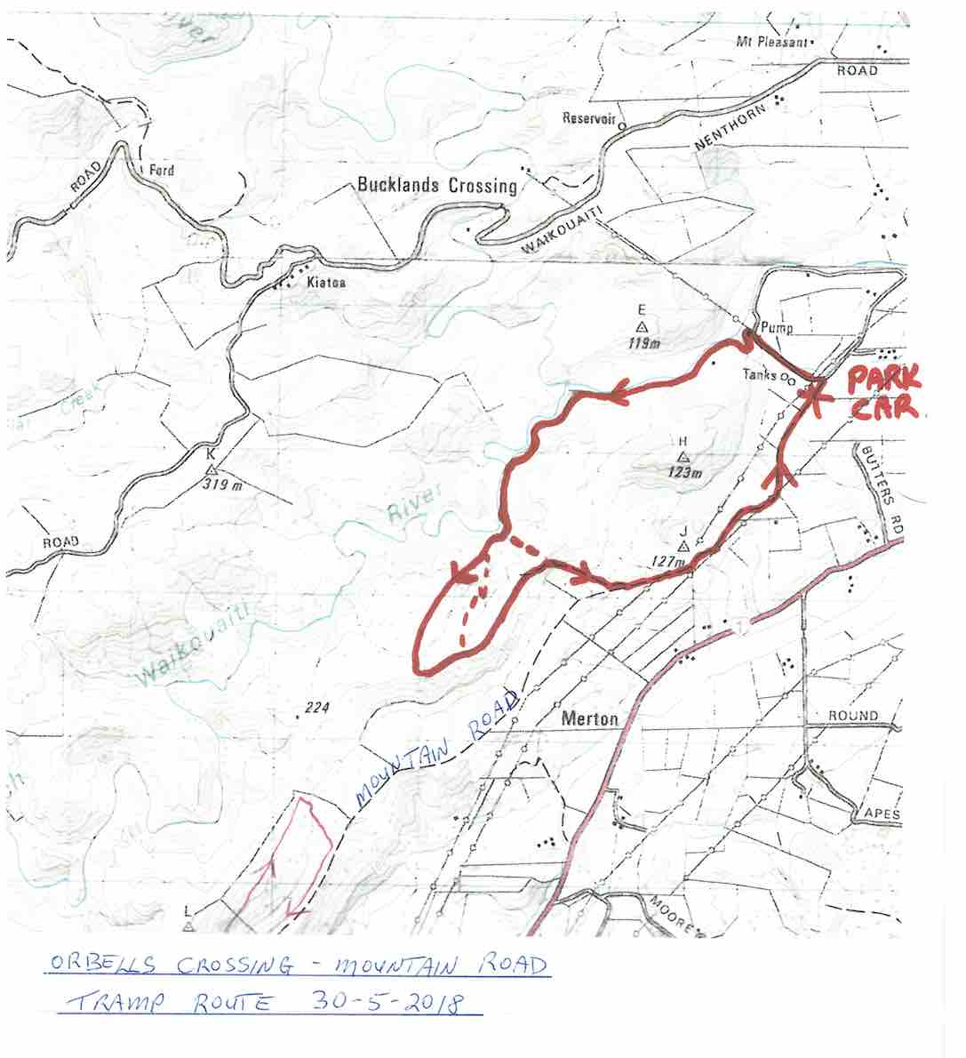
9. 30/5/2018. Orbells Crossing – Mountain Road.(Lawsons Farm.) M-H. Arthur.
Frost to begin with, but a sunny day followed for 11 Trampers to enjoy their exercise in.
We drove up Mountain Road from the north end and parked up.
The air was cold, but a brisk downhill walk in the sunshine took us to the bank of the Waikouaiti River where we had our smoko stop.
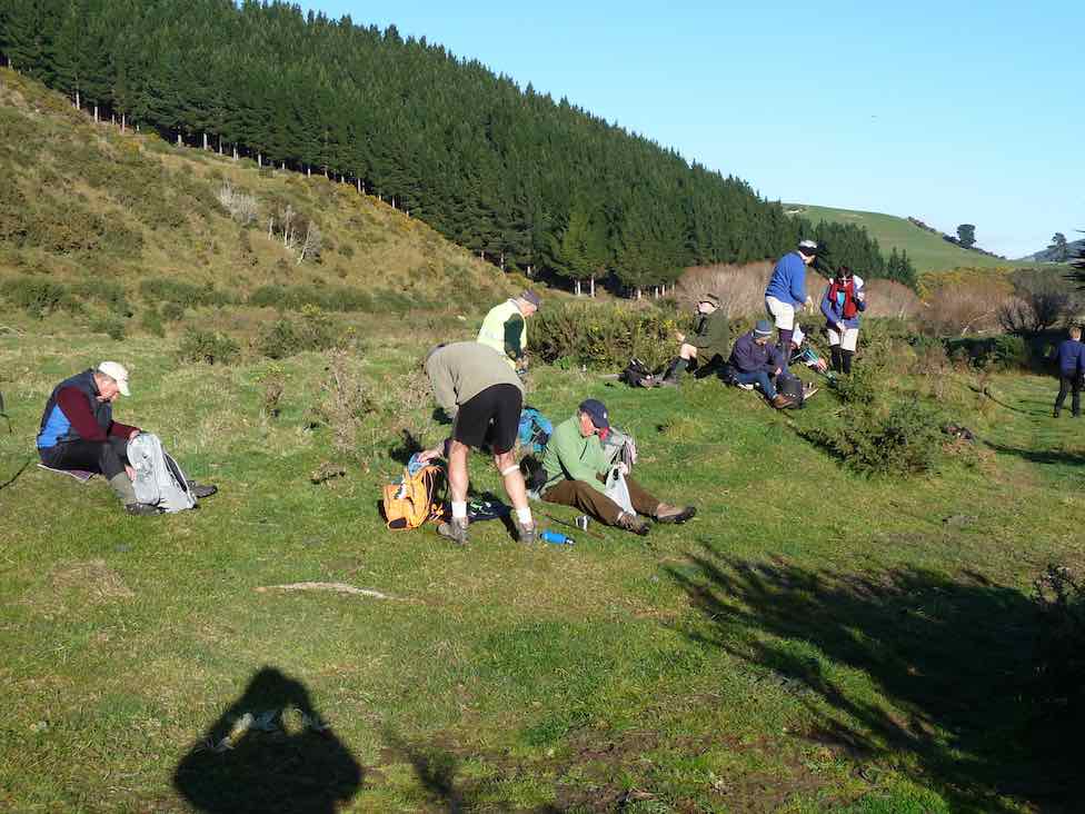
Following the river bank upstream we soon encountered a pine plantation where the track was becoming overgrown with blackberry and gorse. You would have expected that a consciention leader would have done some track clearing!
This was the only bad patch for the day, as we were were out on grazed paddocks from then on.
Passing the junction of the two branches of the Waikouaiti River, we continued up the south branch and soon came out on a lovely river flat. On leaving the river we had a long climb, with a reasonable gradient,
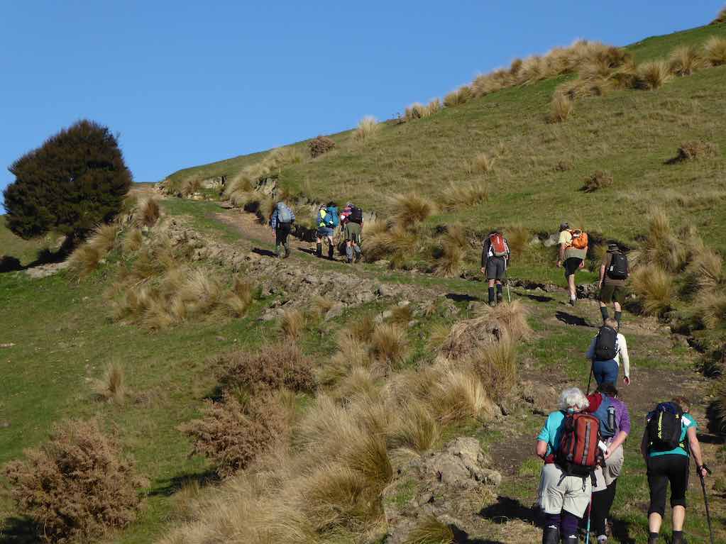
to eventually find our lunch spot on the ridge top.
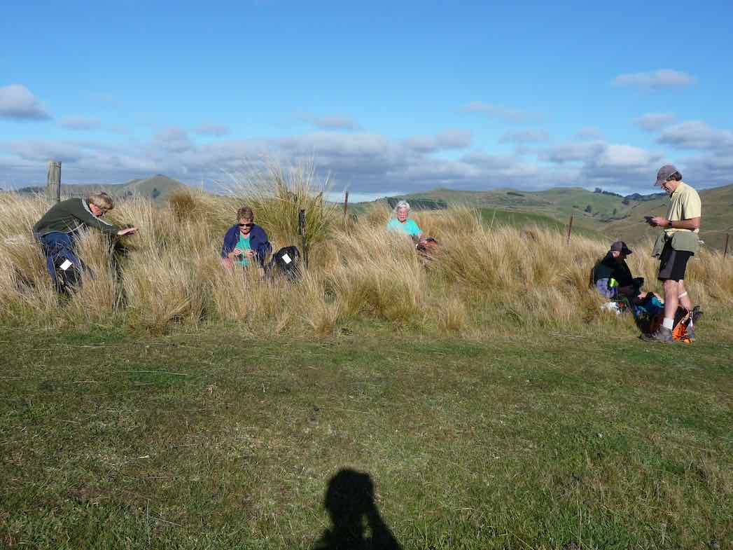
Lunch with a view – a little snow was on top of Lamb Hill, Mount Misery, (Bendoran Huts had been visible a few metres back). We were looking at Mount Watkins
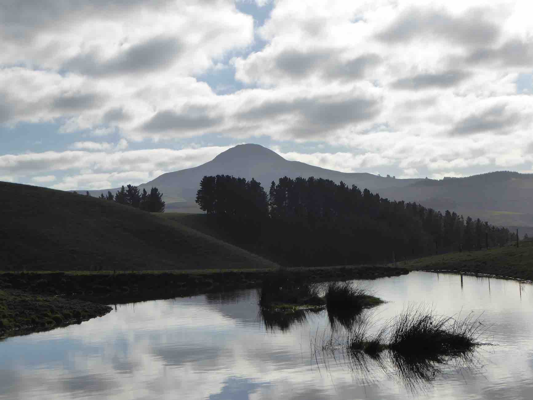
as we ate, and Maori Peak, Karitane, etc, further round.
A very slight south-east, but very chilly breeze was present, and we faced into it for the return journey. Following the ridge down, and then on a slippery (newly graded) track requiring care.
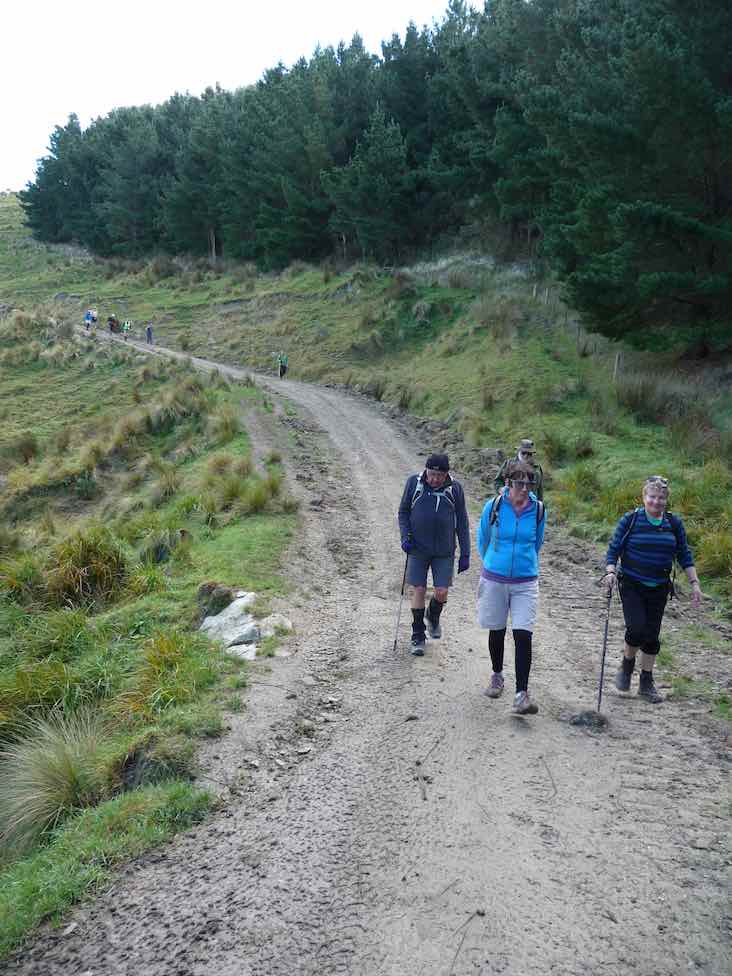
In time we came to Mountain Road, which is the old wagon road from the early days of Otago, and eventually arrived back at our cars.
We had covered a distance of about 10.5 km. Our club had last tramped here in 2012, but none of our group had been here before.
A new tramp is always welcomed, and we had a great day in the sunshine, enjoyed by all.
Blueskin Nurseries enjoyed our patronage on the way home. The Hikers arrived in too. – Art.
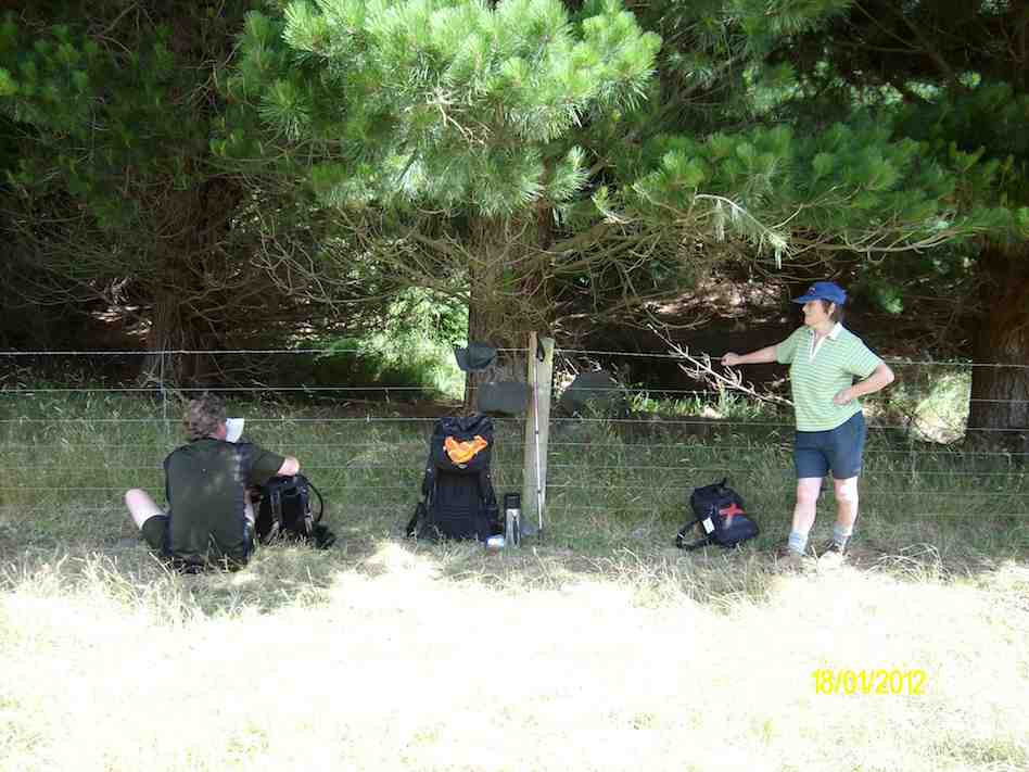
8. 18/1/2012. Trampers. Orbells Crossing, Mountain Road Track. Medium.
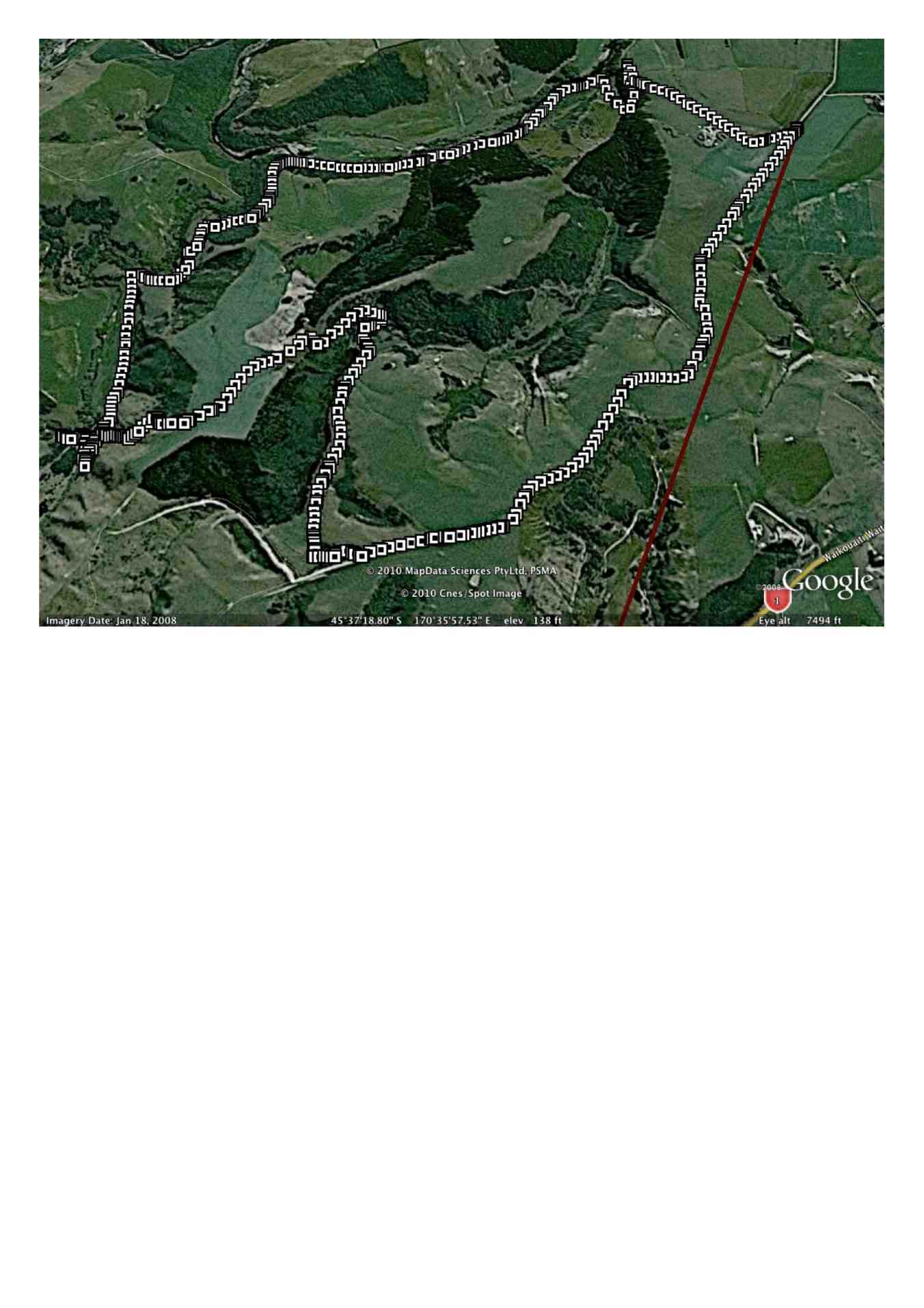
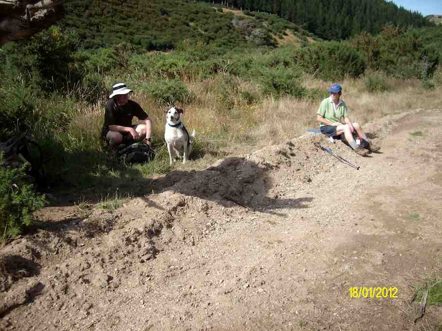
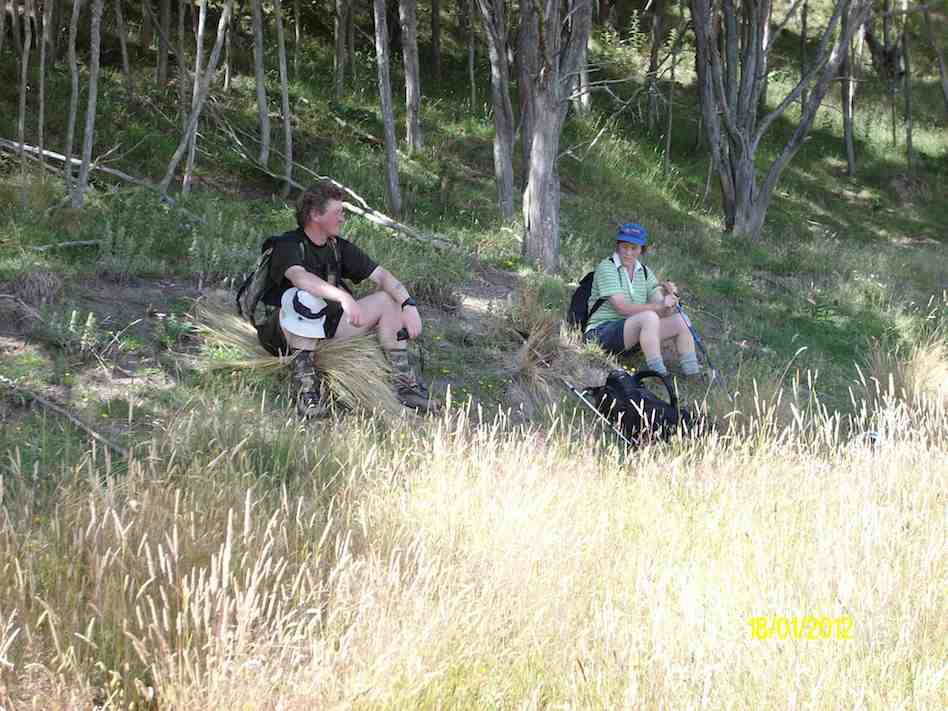
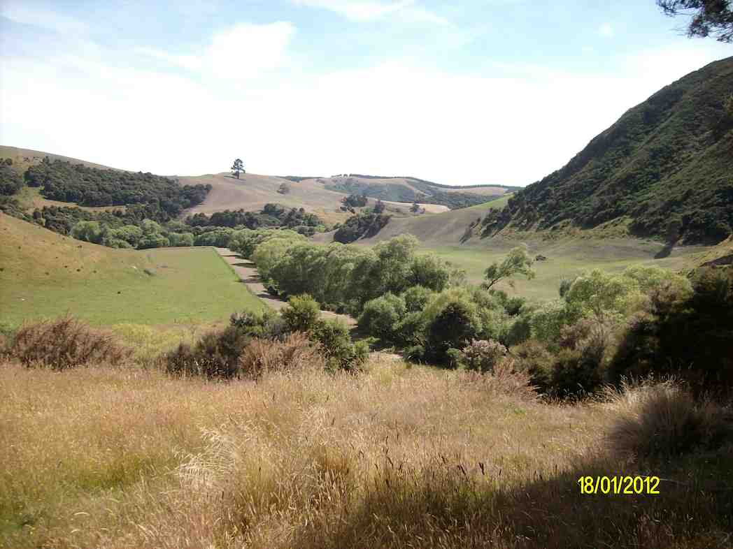
7. 21/7/2010. Trampers. Orbells Crossing, Mountain Road Track. Medium. Leaders: Ria, Hazel.
6. 27/2/2008. Trampers. Orbells Crossing, south. Medium. Leaders: Ria L, Hazel
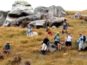
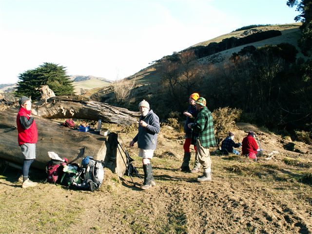
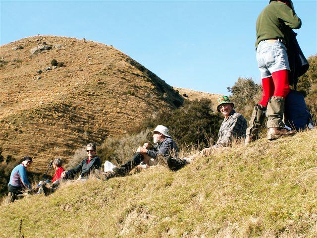
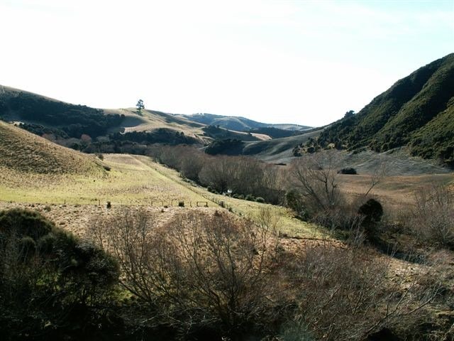
A small but select group met at the turning to Buckland’s crossing on an overcast but warm day under the leadership of Ria and Hazel. The location of the tramp was down as Orbells crossing but there was some debate as to where this actually was. We parked in the middle of nowhere but Ria and Hazel soon had us over a couple of fences and striking across the countryside to a nice morning tea stop on the banks of the South branch of the Waikouaiti River where it was mentioned that a fishing rod would have been useful. The tramp continued along a very pleasant country track wending our way along hillsides and gullies until we stopped for lunch, looking back over to where we had walked earlier. To those with no sense of direction this was quite confusing as we seemed to do a very big figure of eight. After lunch the mystery trip continued, with Ria venturing into some uncharted territory along a gully. When the gully ran out it was a steep climb up to the top where we could easily see where we were again. One of the highlights of the day was seeing the unusual rocks just above the track,
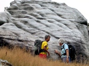
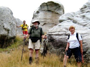
weathered into all sorts of interesting shapes, colour and textures. All information about these rocks would be gratefully received. A very enjoyable day’s tramping. Many thanks to our adventurous leaders. – Tash
5. 9/5/2007. Lawson Farm from McGrath/Gilchrist Roads near Old Cherry Farm. Figure of Eight. No river. Leaders: George, Evelyn C.