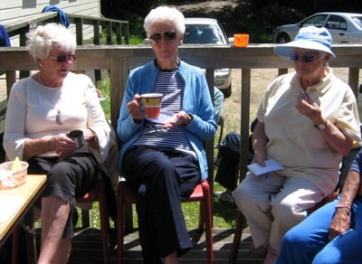
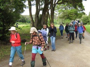
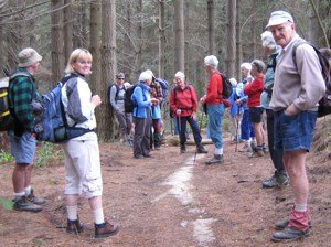
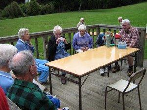
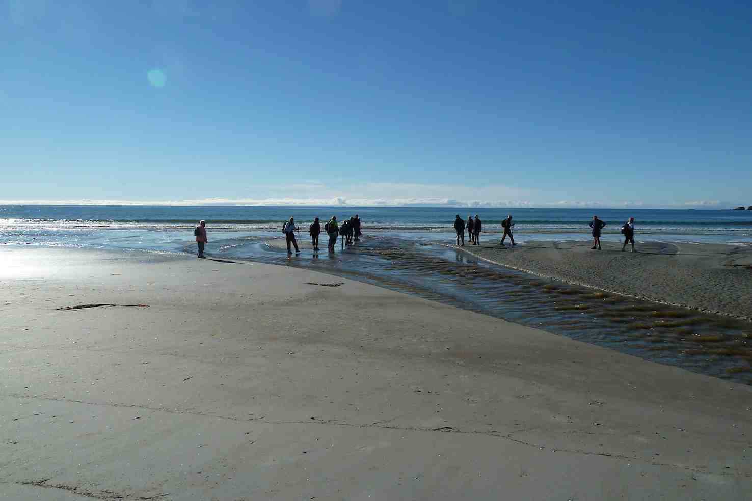
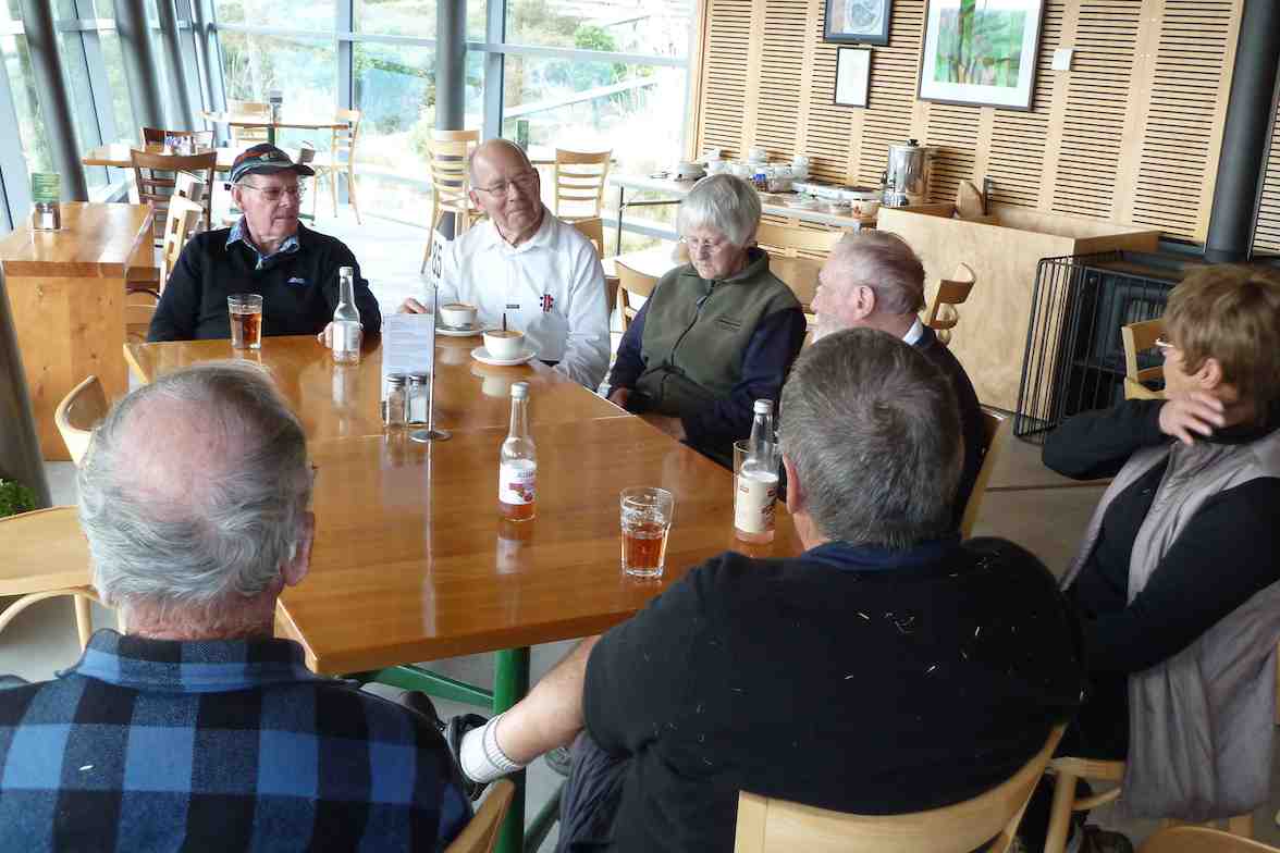
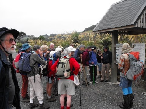
6. 1/7/2020 Midwinter Luncheon. RSA. Leaders : Eleanore and Jill.
Due to the abysmal weather yesterday afternoon, we cancelled the planned walk along the Silver stream, thank goodness we did because the rain kept going last night and today.
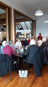
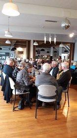
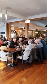
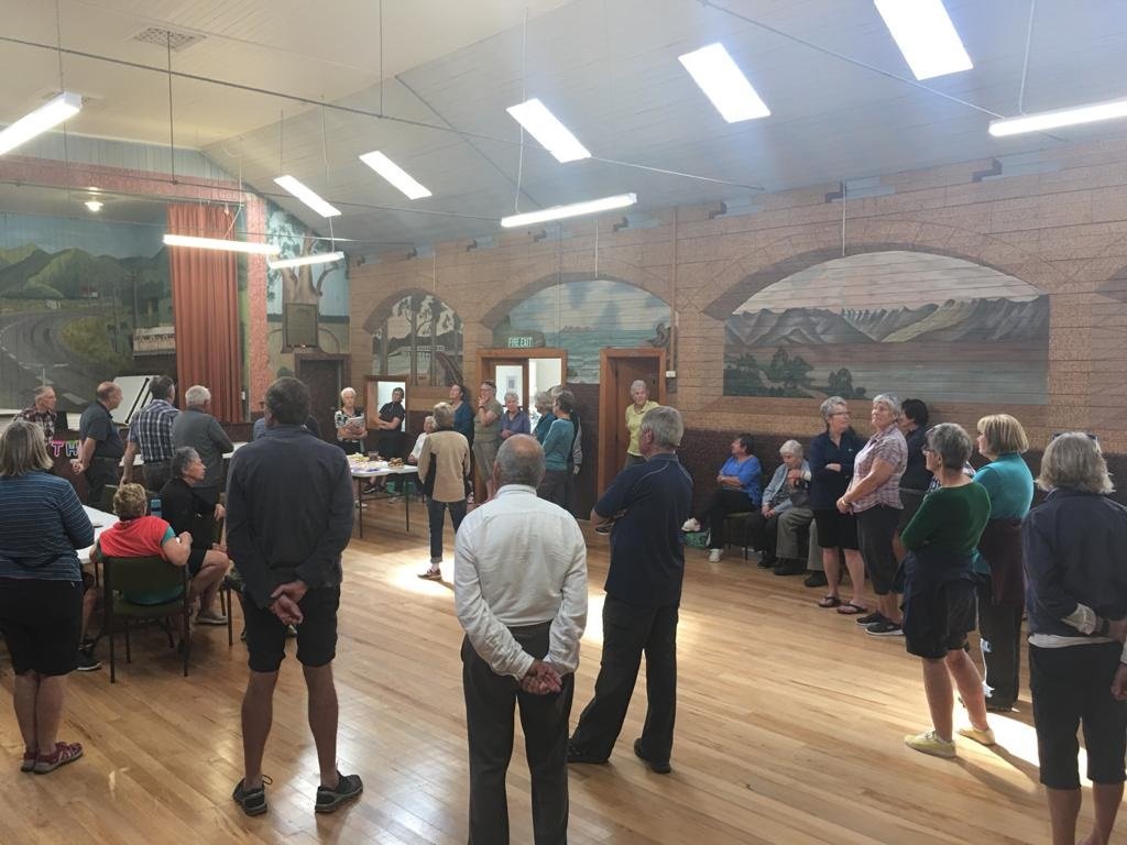
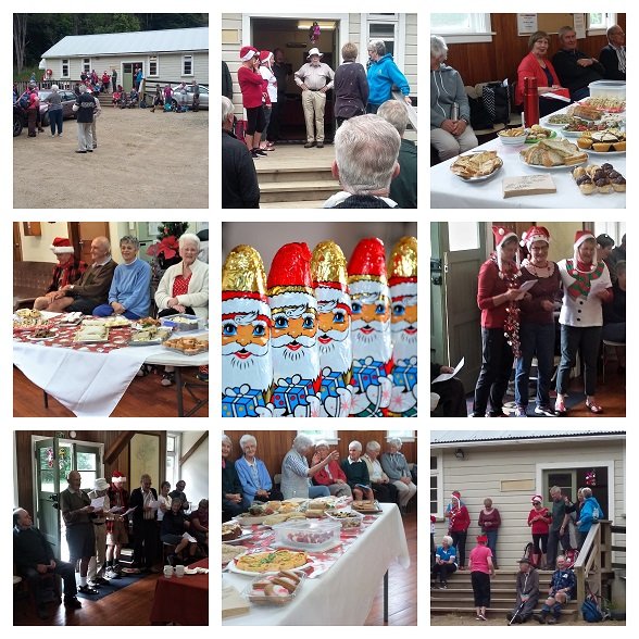
Instead, It was lovely to be greeted at the Mosgiel R.S.A. restaurant by 60 Happy faces, particularly our Senior Members, who always enjoy our shared occasions. We were all ready for a good catch up after the Coronavirus lockdown.
Past President Jill welcomed everyone along. Also, on behalf of the Club Jill passed condolences onto Margaret Smith, due to the recent Passing of her beloved Husband Les.
Photo and Caption Helen – ” Vice President Jill welcoming everyone.”
At our 30th Anniversary, Jill as President, had the honour to present both Les and Margaret with Life Membership. Margaret joined in 1988 and Les in 1990. Both dedicating many years of service to the club.
President Arthur thanked both myself and Jill for organising the venue and meal. Also, he mentioned about the trampers’ track clearing trip set down for 8 July.
Grace was delivered by Ian Fleming, another Life Member of the Club.
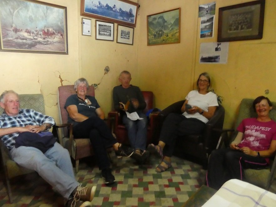
Photo and Caption Helen – ” Enjoying the lovely food.”
It was now time to enjoy tasty, well presented Dinners. Choices being—Hot Ham, Fish, Braised Steak or Wiener Schnitzel. Followed by beautifully presented Fruit Crumble or Ice Cream Sundae. Tea, Coffee and Chocolate to finish off with.
Photo and Caption Helen – “Enjoying seeing everyone.”
Full credit must go to the chef, manager and staff for their effort they put into the meal, and service given.
I hope you all enjoyed the outing as much as Jill and I did.
Eleanore Ryan and Jill Dodd
Nicols Creek circuit Maintained by Green Hut Track Group. DCC land.
Pineapple Track—the curious name of this track originates from a tradition involving a local grocer in the 1920’s. He guided parties up a track in this area and would provide tinned pineapple as a refreshment at the top. The empty cans were left as litter.
4. 24/6/2020 FLAGSTAFF WALKWAY ONTO SWAMPY RIDGE TRACK and RETURN. Leader Eleanore
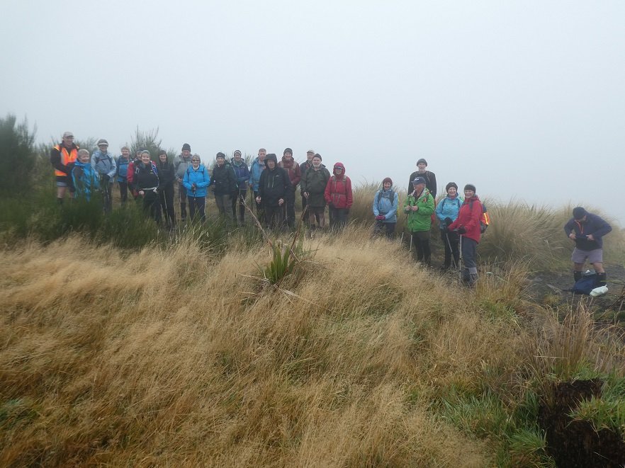
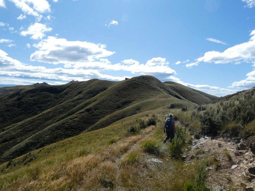
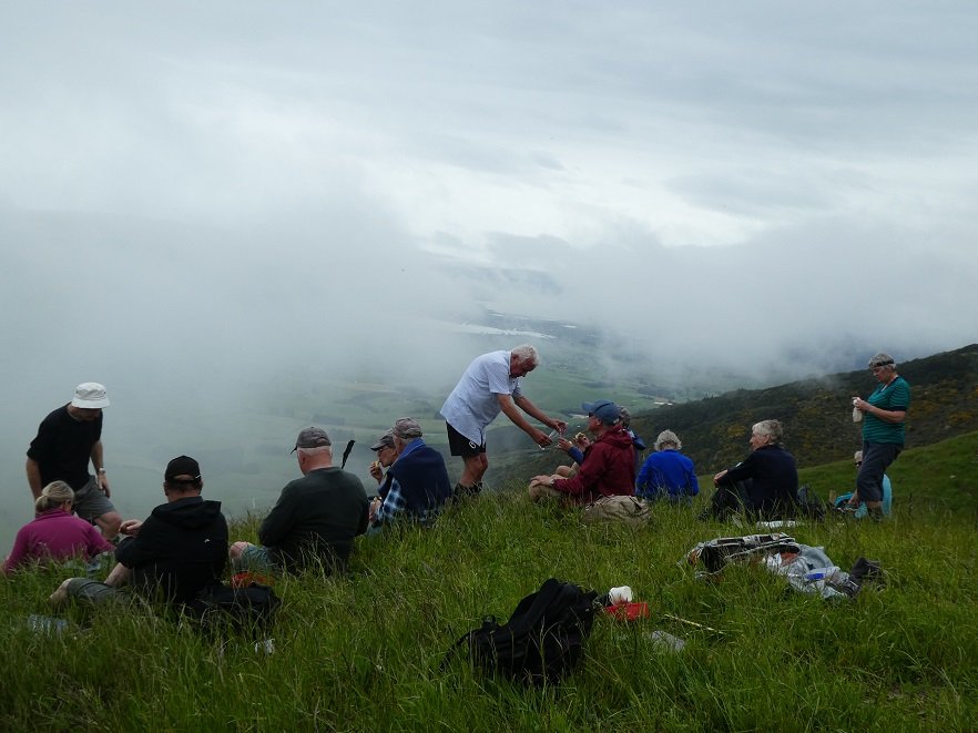
After a couple of head counts our group of 24 (including 3 new faces) arrived at the Bull Ring at 10am to a very foggy morning. As well as us, staff were parked up waiting to spread gravel on Pineapple and Firebreak tracks, that was to be dropped by helicopter. We commented that it would be something new to look at as we were walking.
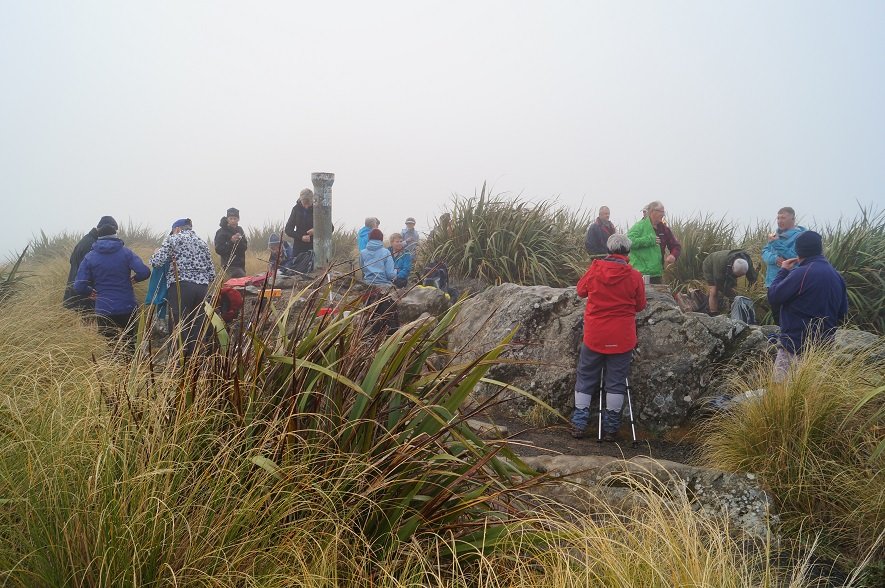
After a short sharp climb we arrived at the Plane Table marked by a drainpipe at a height of round 660 metres for smoko, still in fog and no views we headed off again down and around to the Pineapple junction, passing by damage caused by a fire last year.
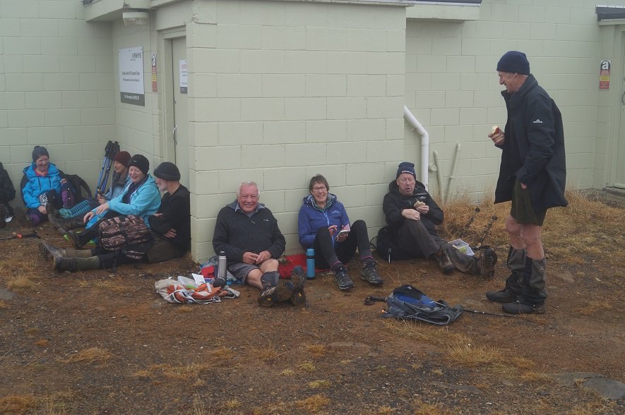
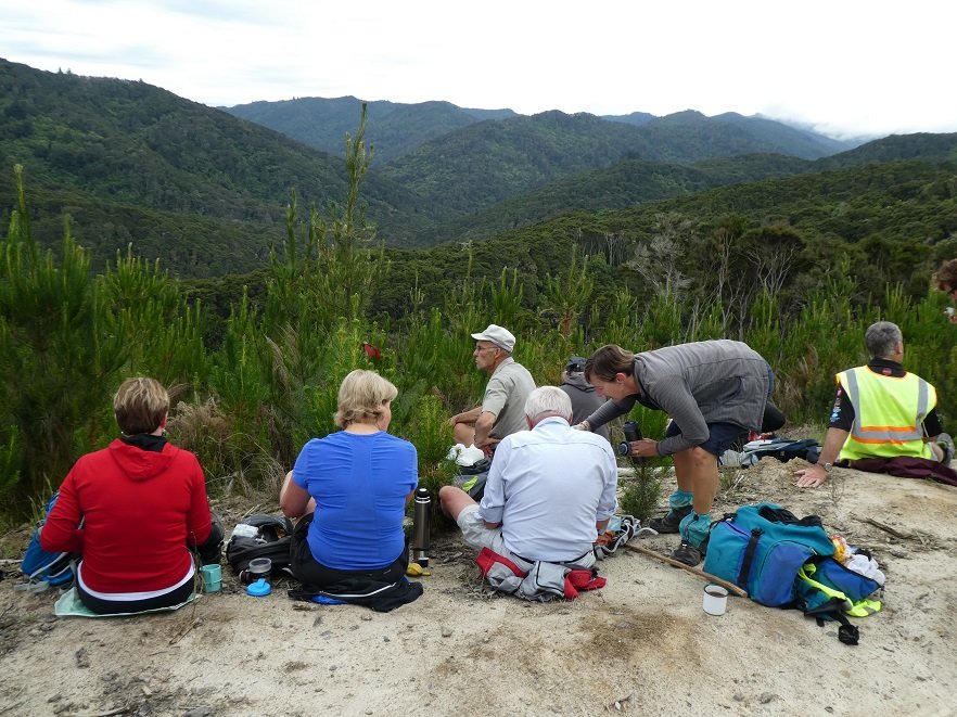
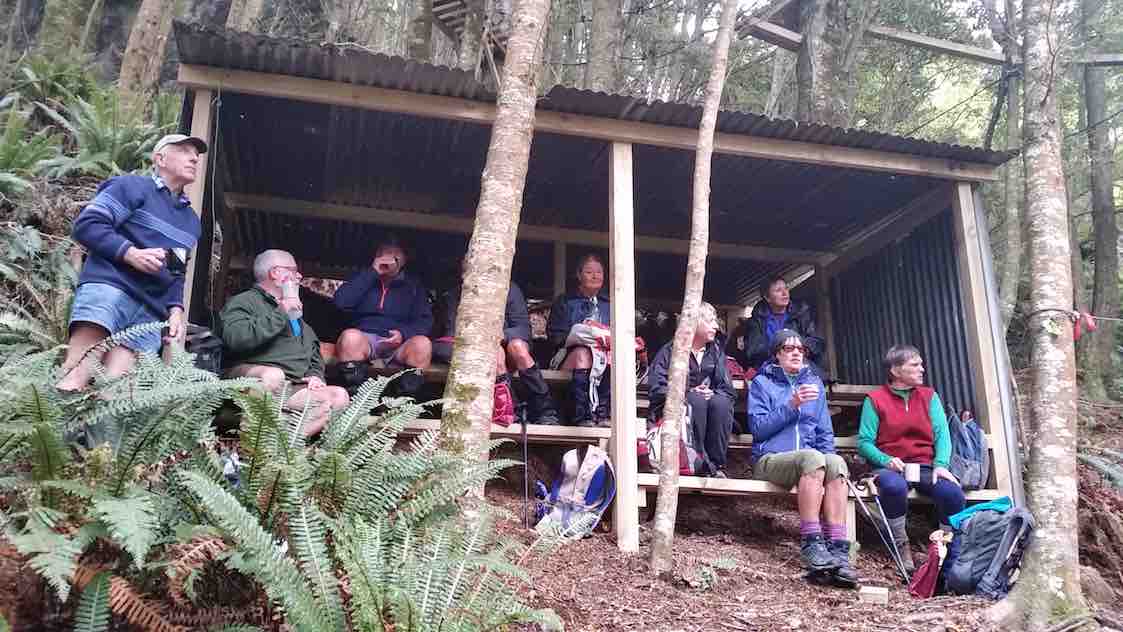
Photo and Caption John – “Morning tea – not to be MIST!”
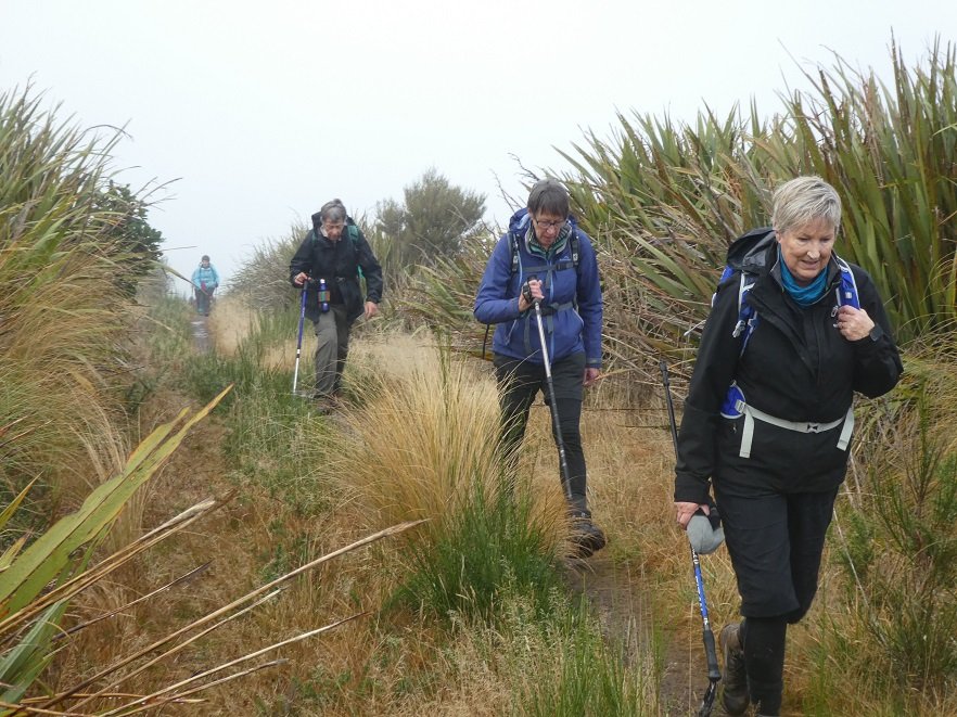
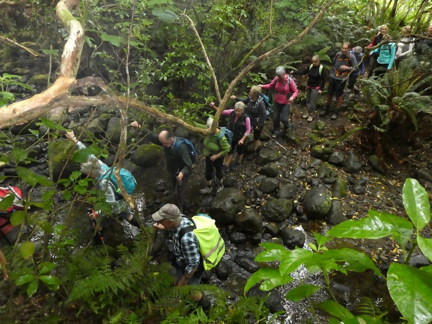
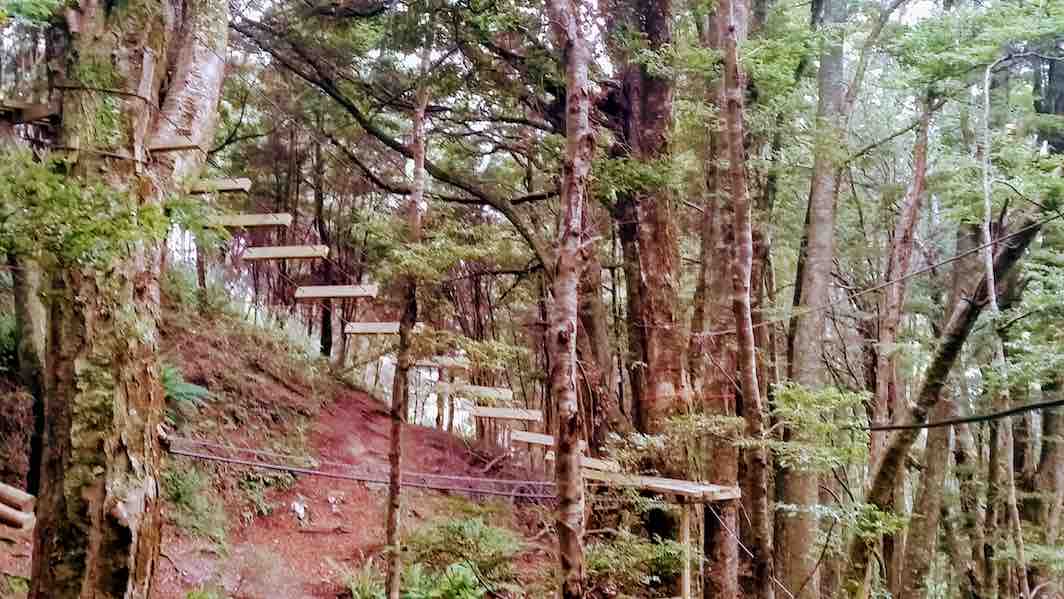
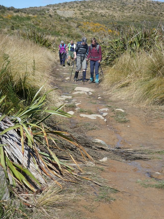
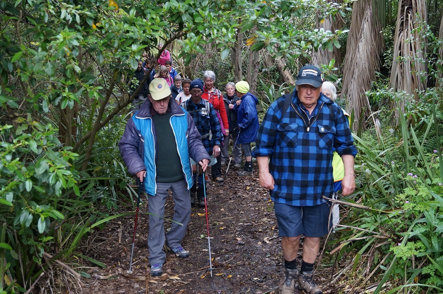
This section of the Pineapple track was wet and slippery along with the odd patch of icy puddles, we had to make sure we kept our feet firmly on the ground!!
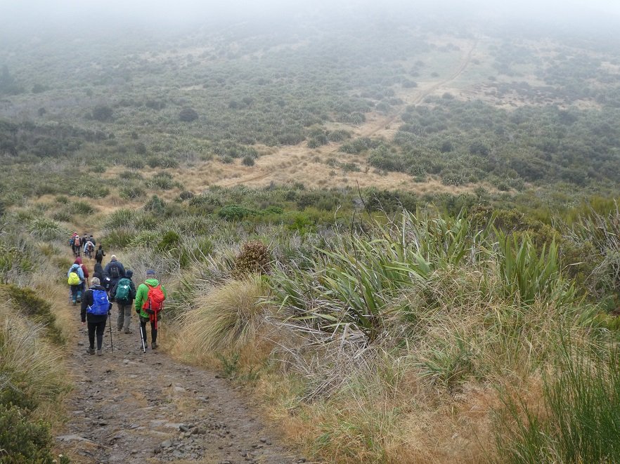
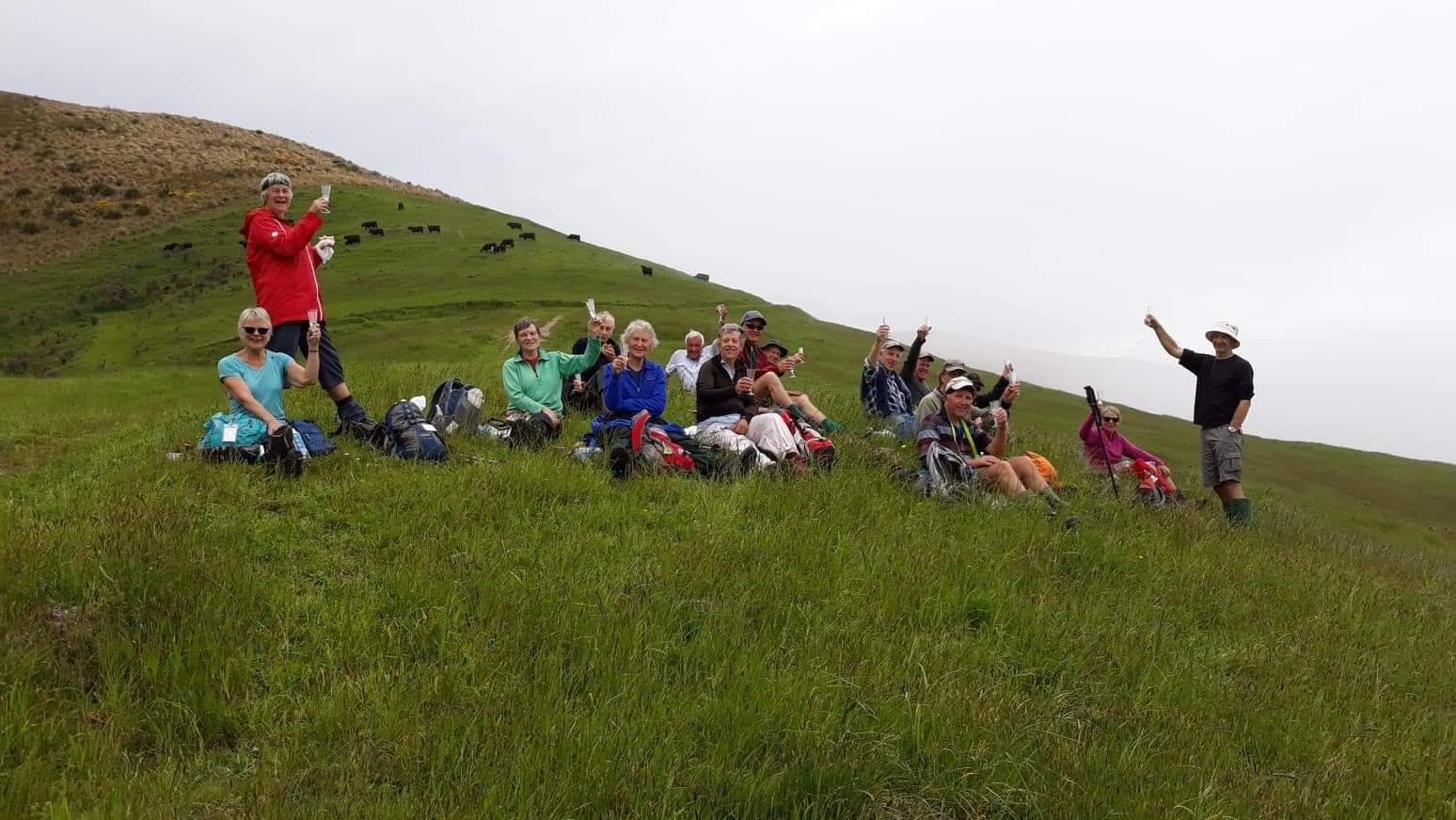
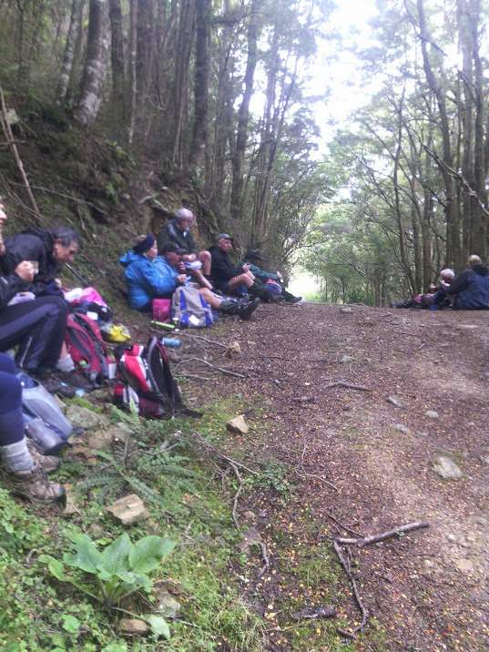
Photo and Caption Gordon – “You couln’t have MIST this group of trampers.”
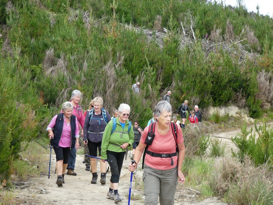
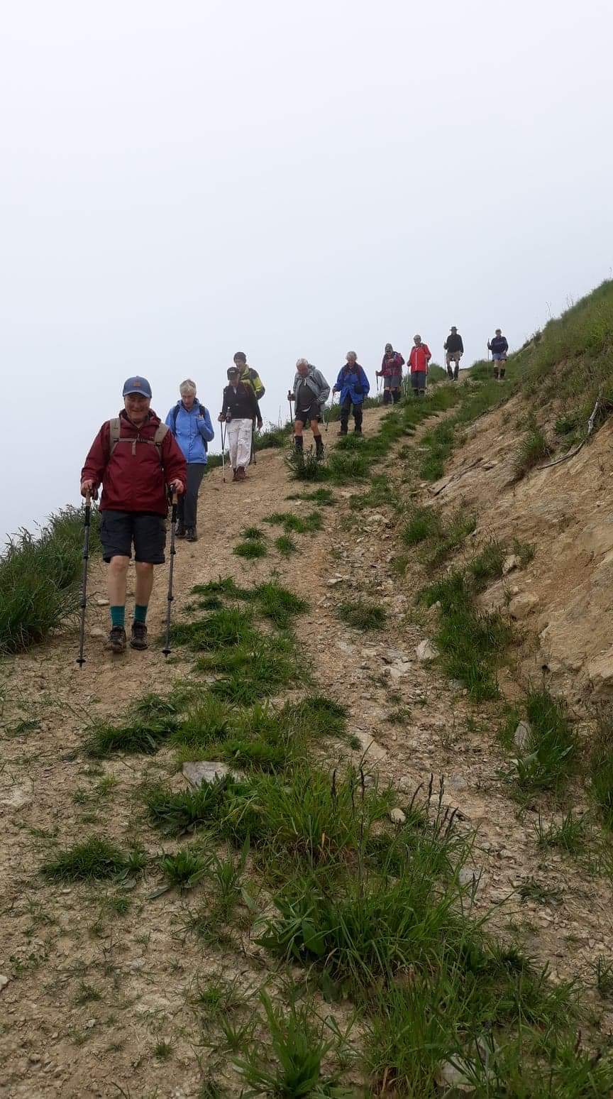
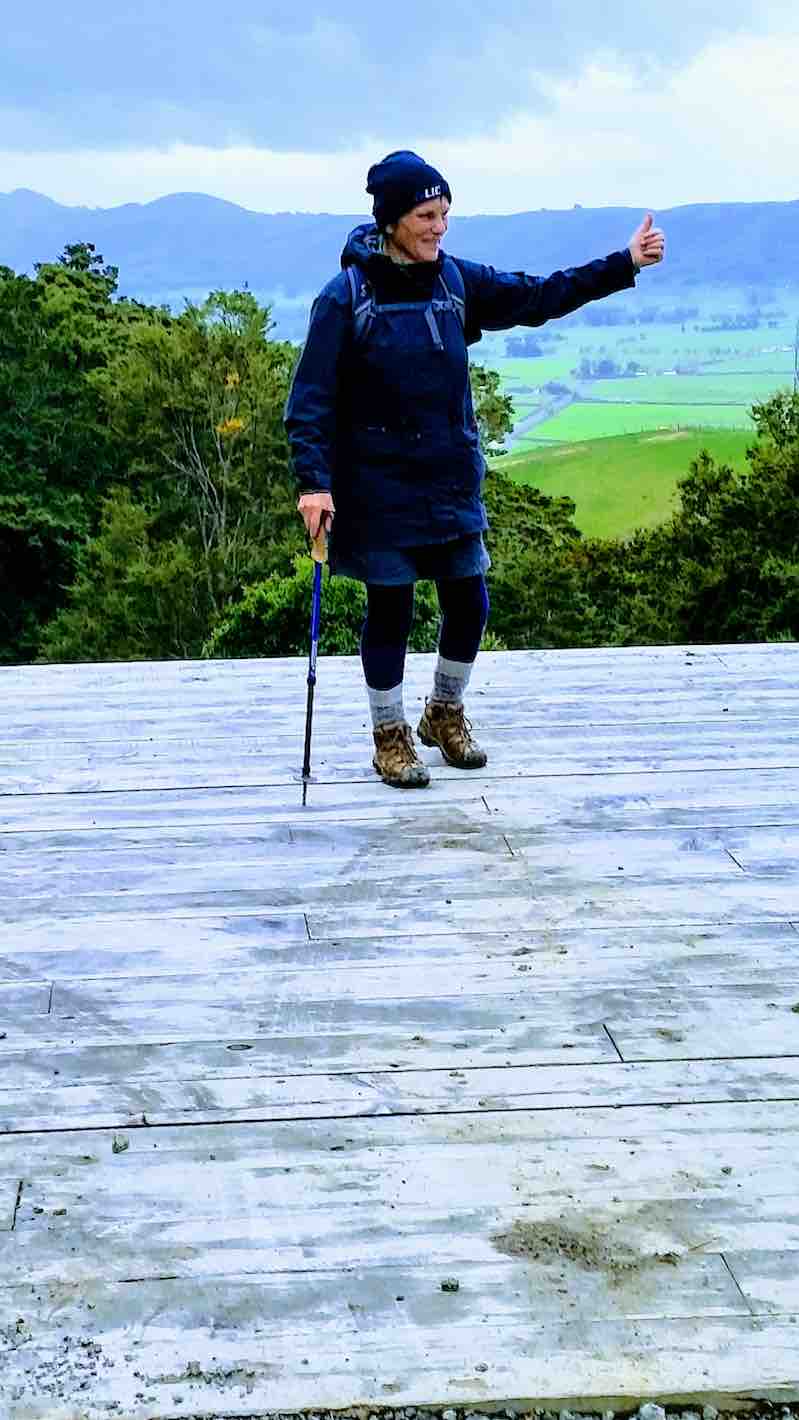
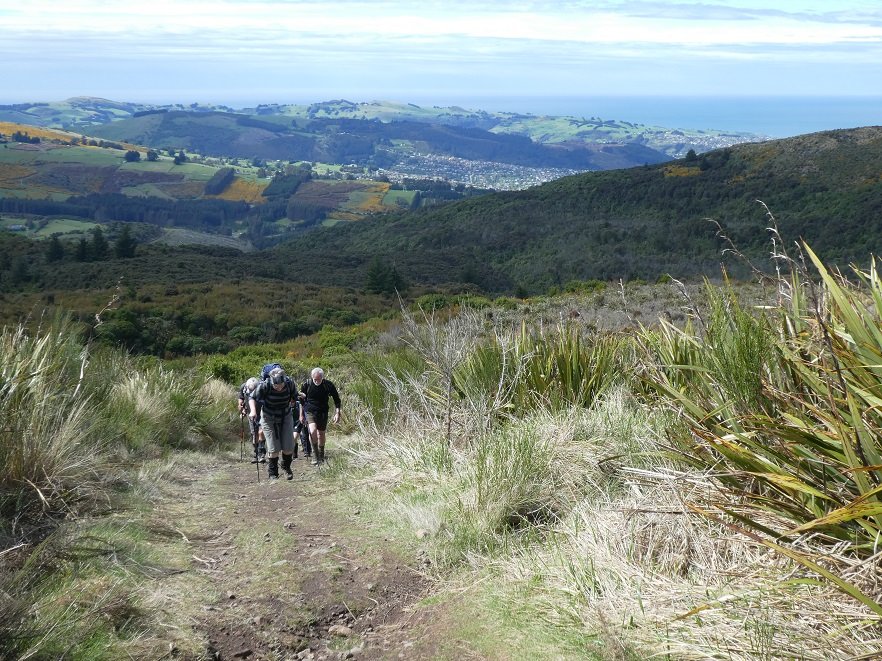
Photo and Caption Gordon – “Still slogging up hill!”
We arrived at the junction of Swampy and Firebreak tracks at 11am, then continued through more mud, noticing quite a lot of broom had been recently cut down—-thanks to those concerned.
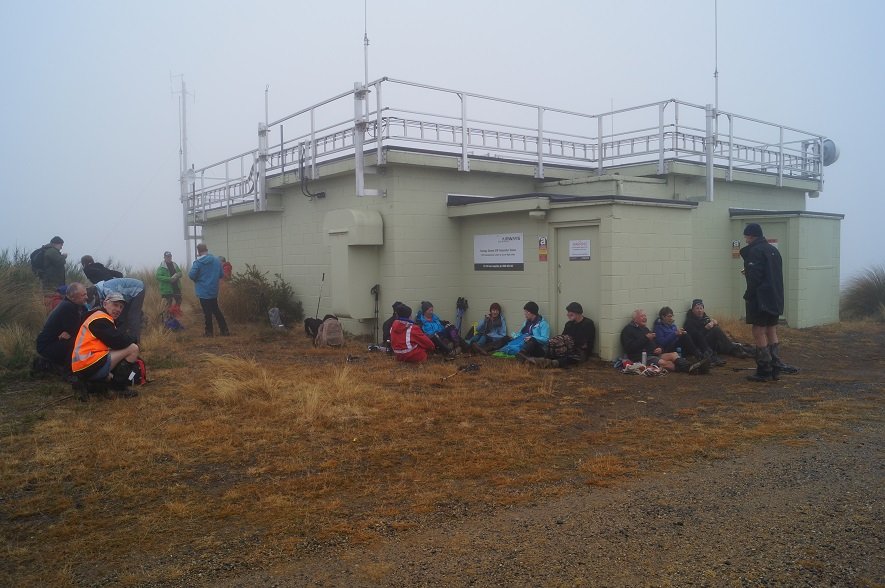
After some climbing along the way, passing Moon, Powerline, and Telecom Microwave Station tracks, we arrived at the Aircraft Navigation Station at the Swine Spur junction at 12:15pm. Up till now, the only sight to be seen was the person in front of you!! Occasionally, one hoped for the fog to lift, so the amazing views could be enjoyed—so far, not happening.
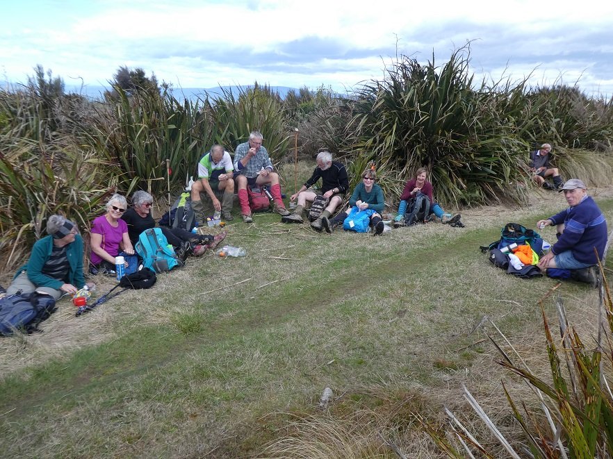
Photo and Caption John – “Lunch at Swampy summit.”Photo and Caption John – “Gotcha Dave!”
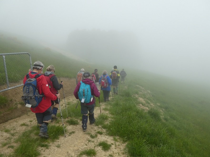
At 12:40pm, after a shortened lunch it was time to head for home, negotiating the slippery, slidey slopes along the way reaching the Firebreak junction in 1 hour, we took the shortcut back onto Flagstaff track, and enjoyed the mostly downhill walk to the cars, arriving at 2:30pm.
Photo and Caption Gordon – “Homeward bound.”
The boots covered a good 13kms.
This was the first tramp with the Club I have been on that the fog never lifted the entire day. We were ready for coffee, cake and a yarn to celebrate our achievement at Blackstone Cafe.
As always, I hope you all enjoyed the day as much as I did.
Eleanore
3. 16/9/2009. Bullring, Flagstaff Walkway, Swampy Ridge, Moon, Nicols Creek Track, New Track across to Pineapple, Pineapple, McGouns, Davies , Flagstaff Walkway Firebreak/Bullock, Bullring. Leaders: Ria, Hazel.
We walked from the Bullring across Flagstaff and Swampy Ridge until sheltering for morning tea stop some way down the upper Moon Track,
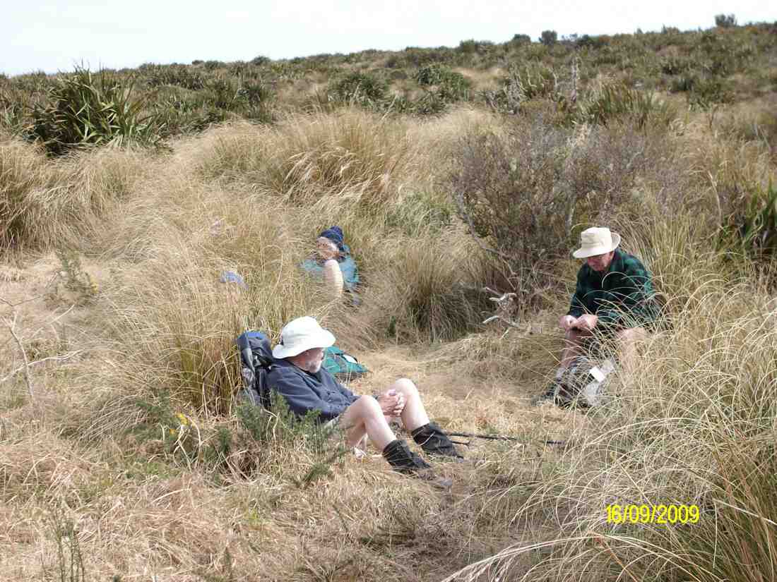
Morning tea on upper Moon. (Ken pic). Ian and Doug. Ria and Hazel partially hidden.
then crossing to the other side of the valley.
Walking across headwaters from Moon on one side to Nicols Track on the other. Doug, George.
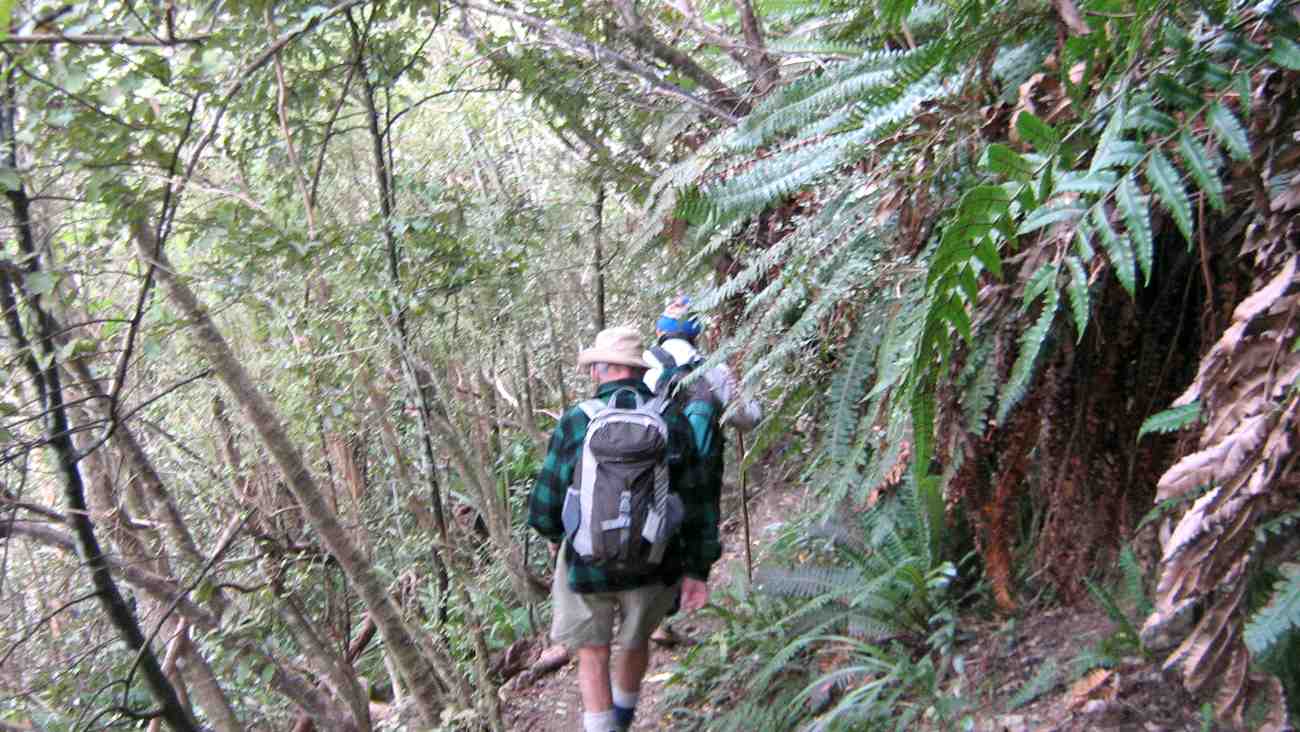
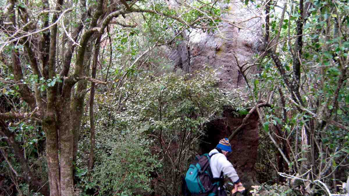
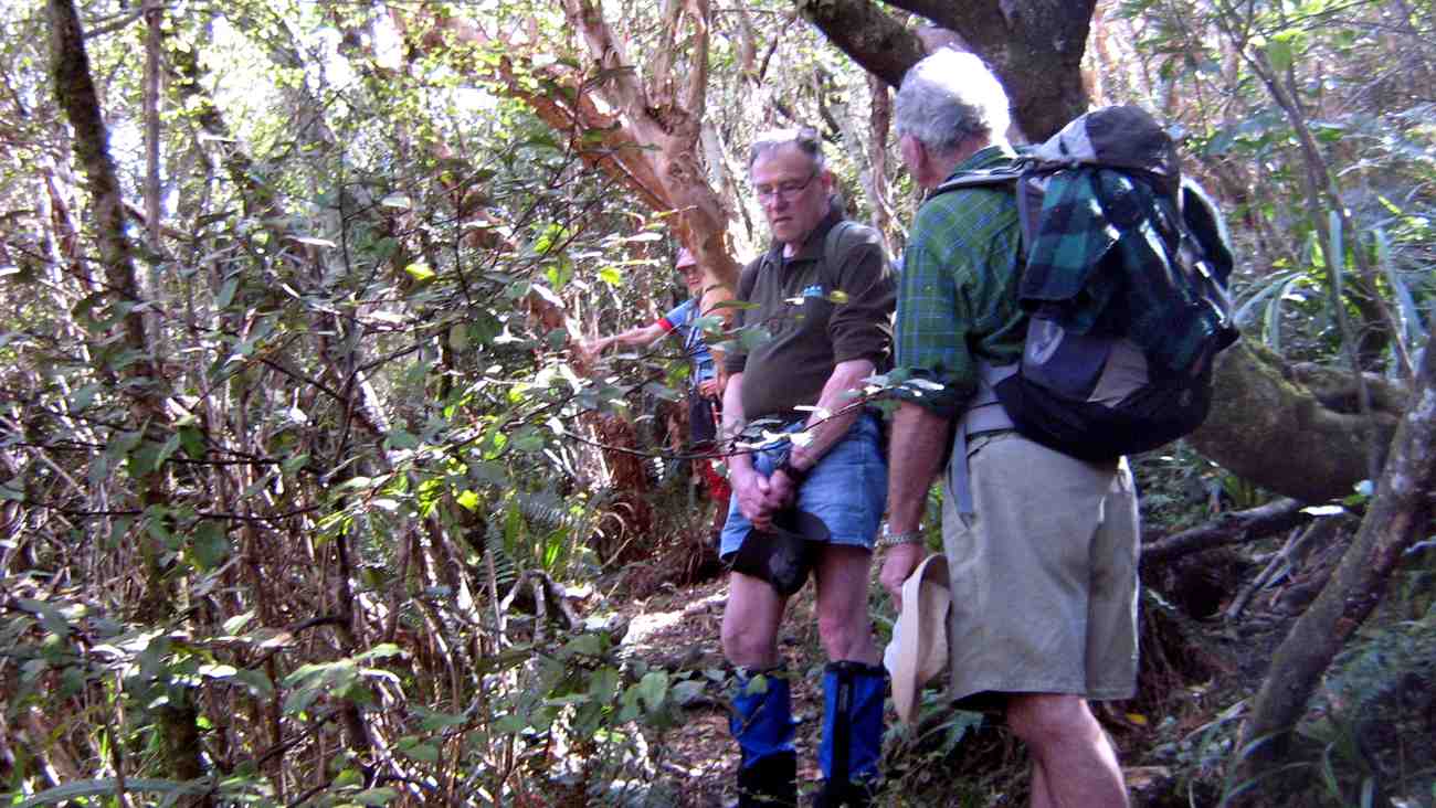
Perhaps it was the thinner foliage of early spring, but none of us had remembered noticing before the huge old tree trunk just below Nicols Creek track, with growth still struggling for its old branches far above us if we craned our necks.
George making a close examination of extraordinarily large trunk which he identified as a Kahikatea.
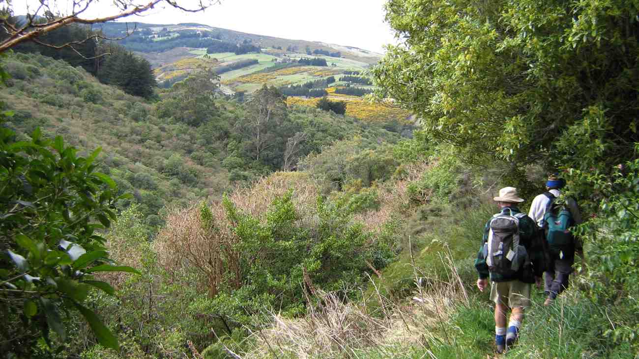
View across to the motorway from one of the few open patches on Nicols Track. Doug, George.
Ria and Hazel surprised us with a track leading off to the right just a little further on.
Surprising track off to the right. Doug, George.
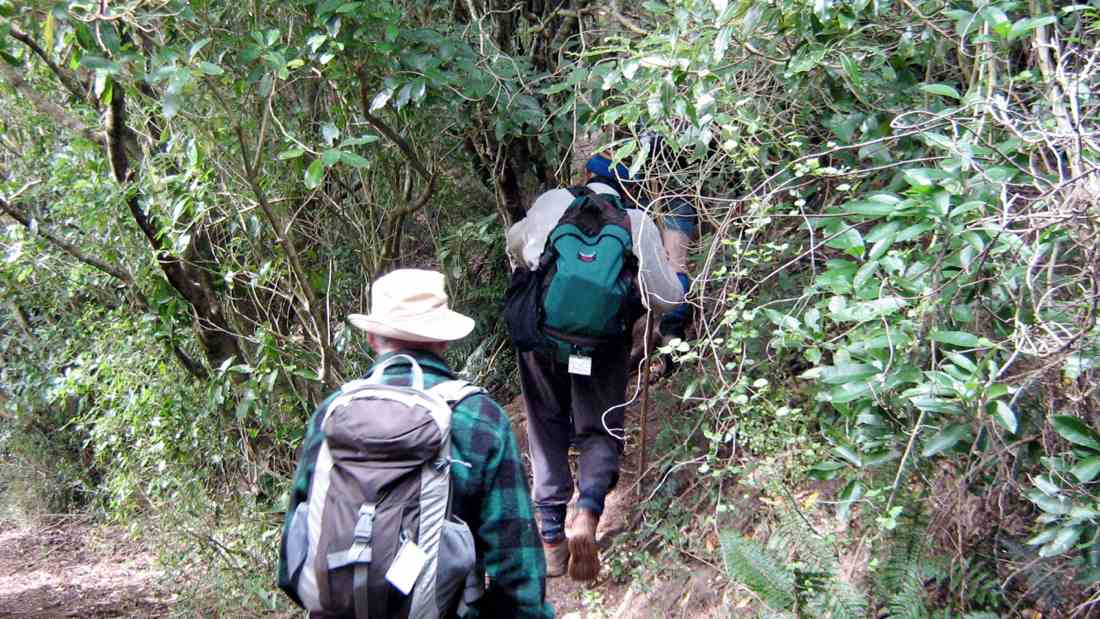
It took us through brief bush out into heavy grass and scrub and led almost vertically uphill diagonally back from the way we had come, and eventually, after a few hundred metres of stiff climbing, coming out onto overgrown pasture and across to join the Pineapple Track just above the point where it enters the bush.
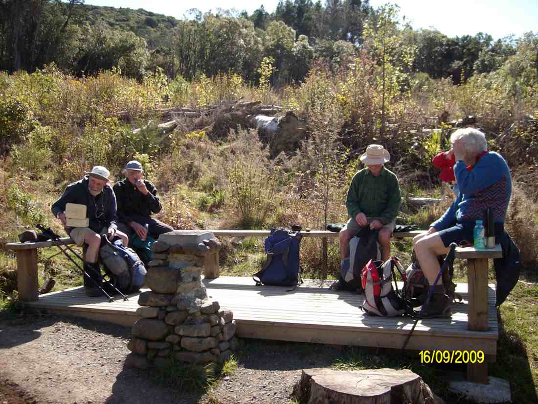
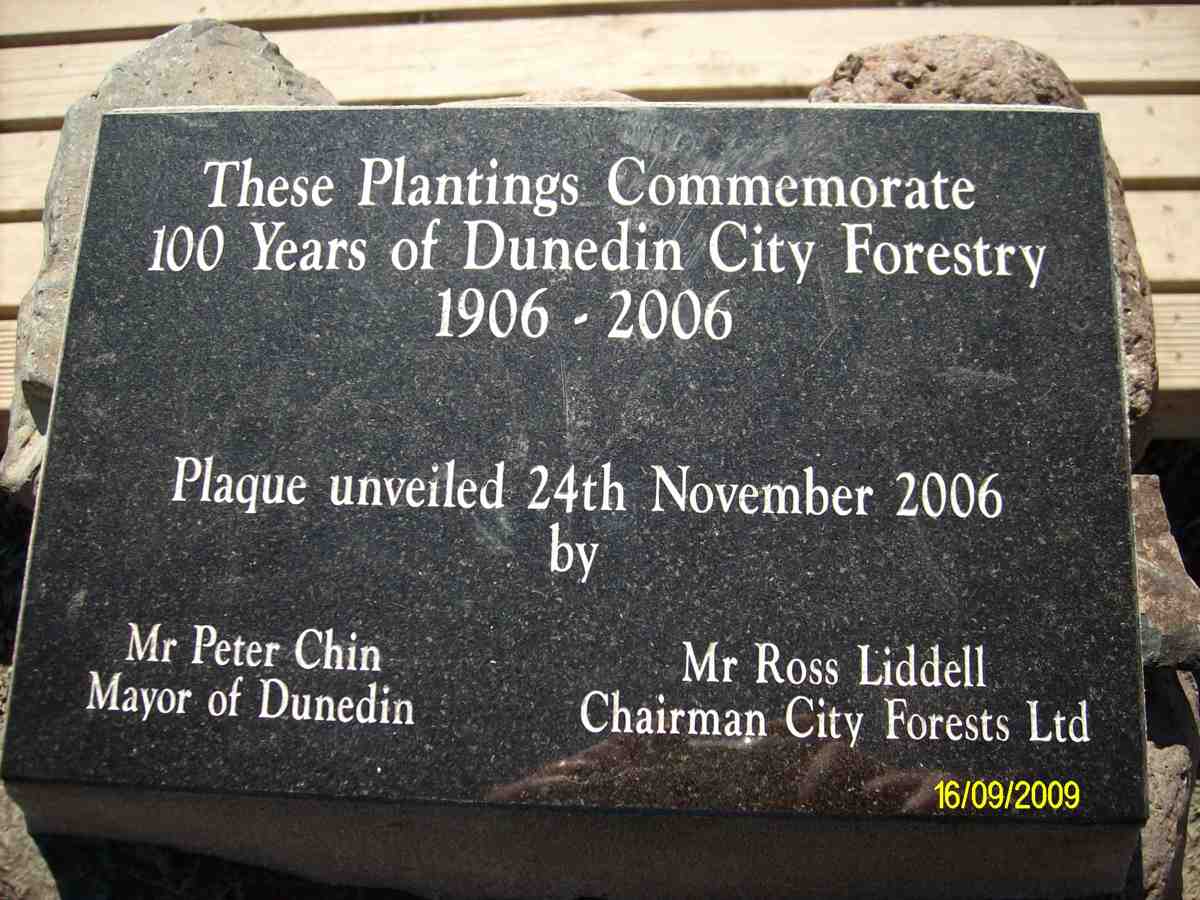
By taking us on this novel route, our leaders avoided any road work, as we were able to descend the Pineapple track and join the McGouns track to come out at the partially vandalised stone cairn and plaque marking City Forests 100 years of forestry planting by the Dunedin City Council begun in 1906. Its surrounding seating made a good place for lunch.
Lunch at plaque. (Ken pic). Ian, George, Doug, Ria, Hazel.
The plaque. (Ken pic).
From there, a short walk along Drummonds Street connected us with Davies Track, which zigzagged up through regenerating natives to eventually continue climbing through mature bush.
Rest stop in Bush on Davies Track. Ria, Ken, Doug.
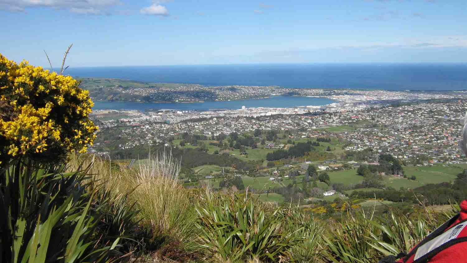
Dunedin from Davies Track above bushline.
Above the bush line, it was then through tussock and flax till we reached the Flagstaff Walkway. We decided to take the Firebreak/Old Bullock Track back to the cars. – Ian.
Mary Young died on the 19th of June, 2020, aged 88 years. She joined the Taieri Recreational Group on 21/1/1987 and was on the Steering Committee helping it to became a Club on 4/3/1988. She resigned in 2011, concluding a membership of 24 years.
Nine present and former Club members attending her funeral on 26/6/2020, were: Ian Fleming, George and Elizabeth Haggie, Chris Hughes, Ria Lippers, Doug Moir, Denise Pearce, Margaret Smith, and Dot Taiaroa.
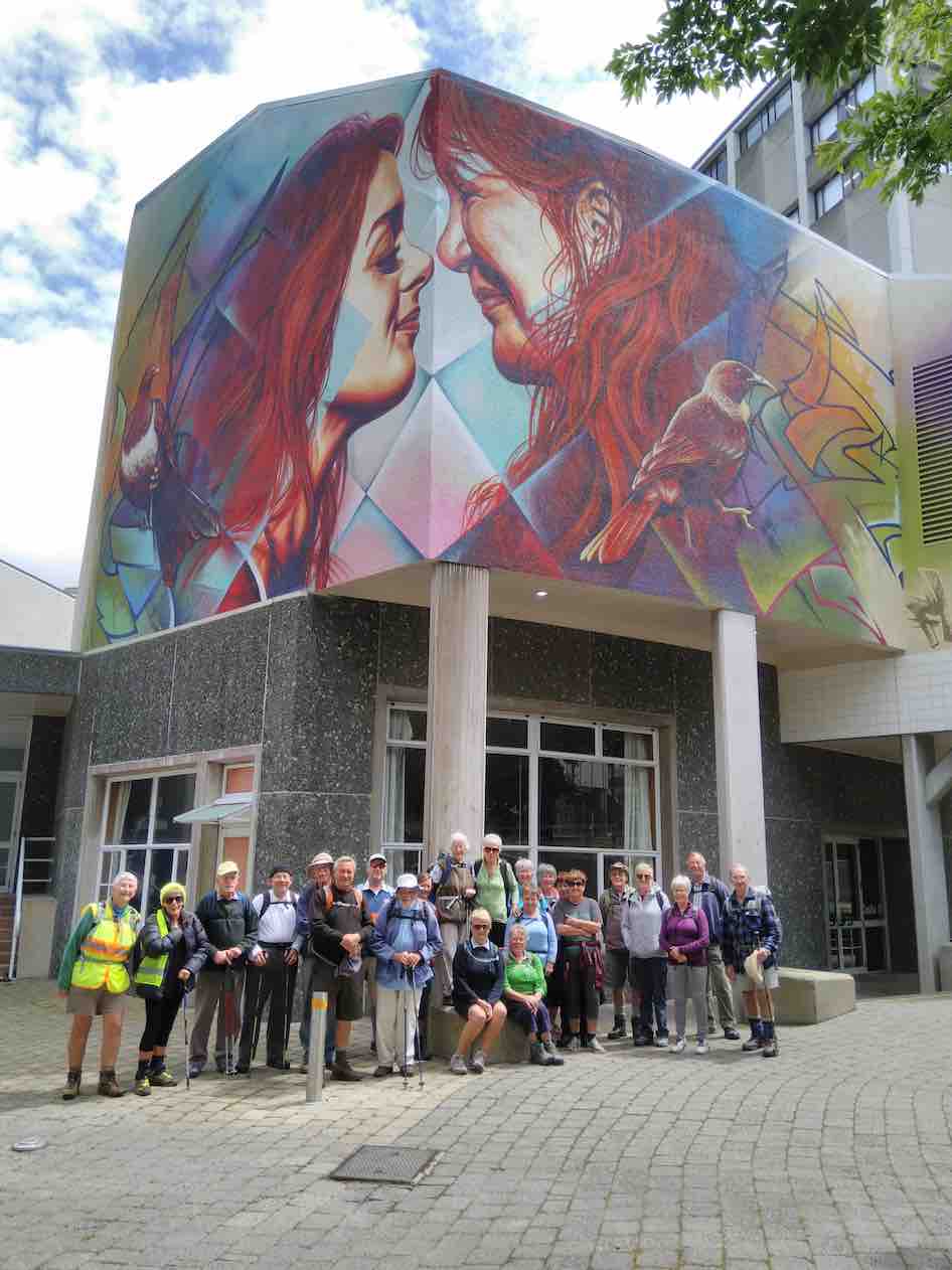
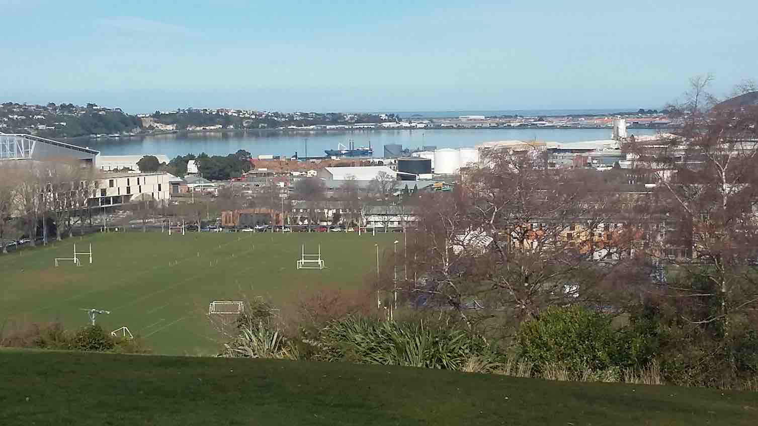
10. 17/6/2020. Hikers. Woodhaugh gardens and the University area. Dawn Pool and Pam Clough.
20 people from the Hiking Group had a very pleasant 7k walk from the yacht club car park up 260 steps to the botanical gardens, where we enjoyed a beautiful view and morning tea.
We then wound our way down through the grounds, enjoying lots of things on the way, arriving at the duck pond, where we stopped for lunch.
An interesting walk through the University and back to the cars.
Just as the weather changed we reached the cafe by the stadium and all enjoyed a hot drink before heading back home.
Hope the trampers enjoyed their day.
Regards
Dawn Pool
9. 31/7/2019. Hikers. Treasures around the Leith. Jenni and Judy D.
Despite a rather iffy forecast, 18 hikers met to explore “Treasures around the Leith”. We met our Brighton contingent at the Malvern Street Bridge and proceeded to an early morning tea at the Woodhaugh Gardens. So off we set though the Botanic Gardens admiring the recent rose pruning, through the Clive Lister Garden, along and up through the terraced gardens and finally up a gentle track which lead us to Lovelock Avenue.
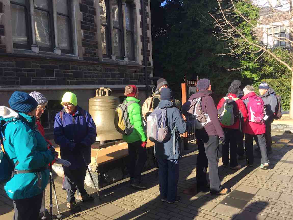
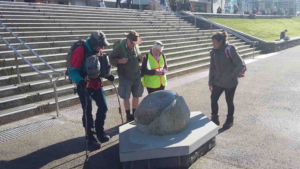
The weather held as we investigated the historic bell in the University’s quadrangle. This bell was part of the New Zealand Exhibition in 1865, before being moved to the stock exchange building in 1868. The full story was captured by the ODT on 3 February 2019.
(Jenni pic.)
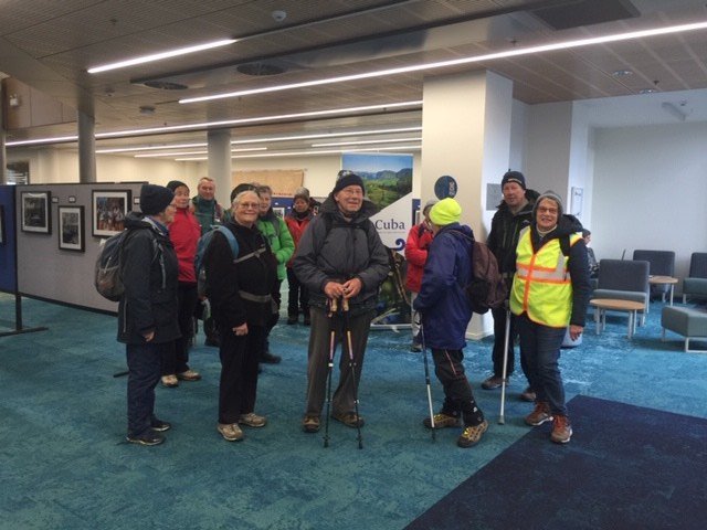
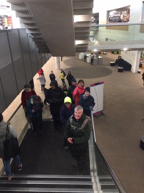
From there, we ventured to the Otago Business School to view the outstanding architecture and the very cool photographic exhibition “Cuba through Kiwi eyes”. There was a great variety of excellent photographs, and we were fortunate to be able to see this. The exhibition closes on 2 August.
(Jenni pic.)(Jenni pic.)
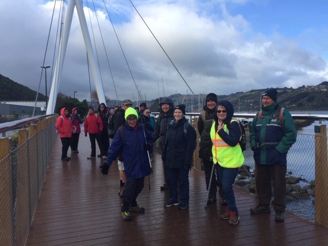
We meandered along the side of the Leith, noting the exciting new $26m Music, Theatre and Performing Arts Development and checked out the new Leith bridge which links Dunedin with Port Chalmers for both walkers and cyclists.
(Jenni pic.)
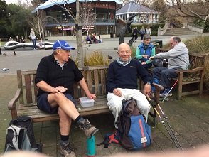
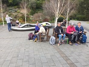
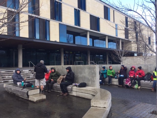
We returned to the seating area outside the Stadium for lunch, which turned out to be an excellent shelter from the nippy Southerly.
(Jenni pic.)
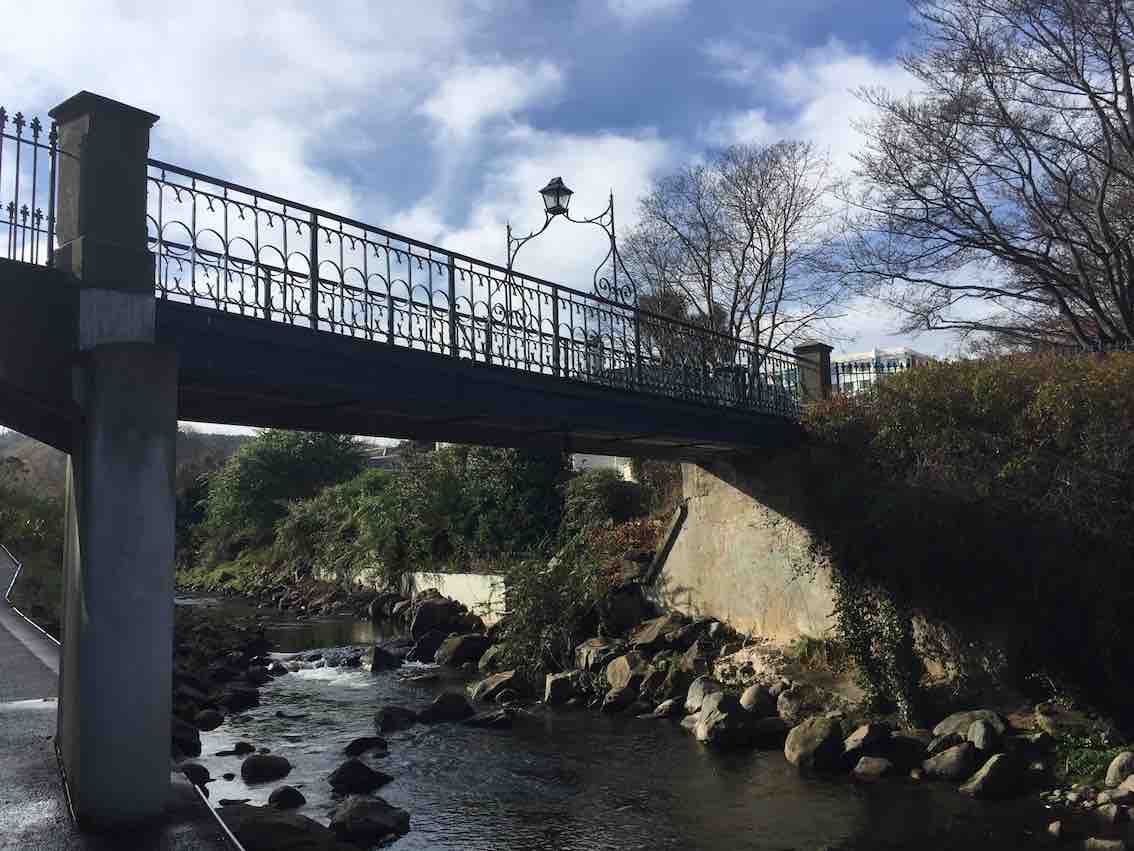
Back along Union Street, as we passed the Multi Disciplinary Unit we talked about the world famous “Dunedin Study” and the amazing facilities they are housed in. Time was on our side so we entered the Student Union building and the Information Services building which has been cleverly joined by “The Link”. We marvelled at the space that the students enjoy today and the architectural features including a circular internal Oamaru stone wall. A highlight of the tramp was seeing the developments to alleviate flooding in the area and preservation of the St David bridge.
(Jenni pic.)
How fortunate we are to have so many treasures around the Leith.
Distance travelled around 9kms. Coffee and cake at Village Green. Special thanks to Judy Dennison for being “Tail End Charlie”. Today’s leader: Jenni Wright.
8. 28/11/2018. Hikers. Gardens / Leith Street. E. Leaders: Judy and Elaine.
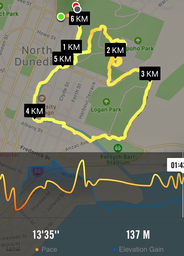
Nike map of route, courtesy Ian.
After an overdose of rain, 23 hikers and four ramblers abandoned the planned Flagstaff/Swampy hike in favour of the Botanic Gardens area.
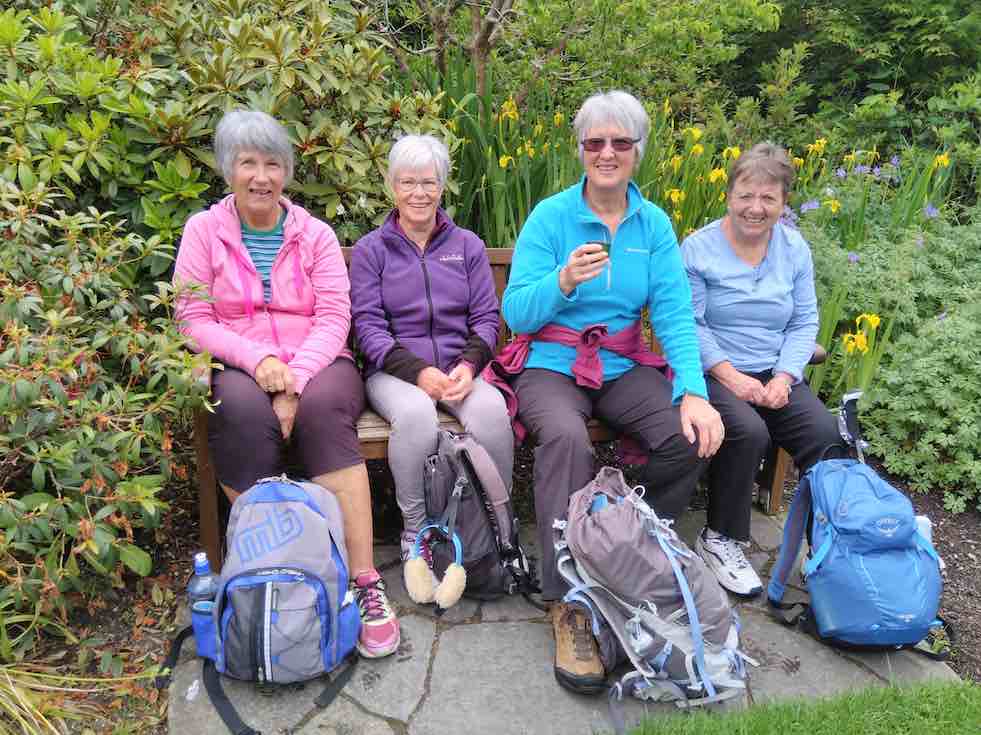
We parked in the gardens car park and wandered by various paths to the Rhododendron dell for a leisurely morning tea. The sun shone and the birds sang.
(Judy K. pic.)
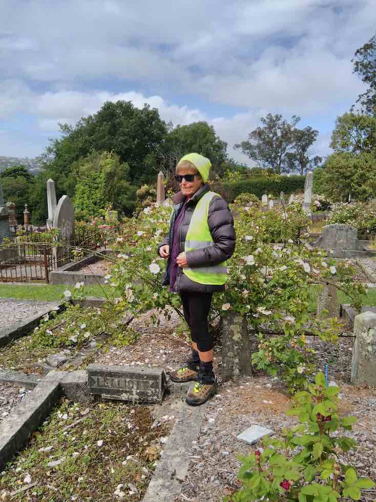
Eventually we headed off over the road, into the northern cemetery where a successful search was made for Elaine’s ancestors.
(Judy K. pic.)
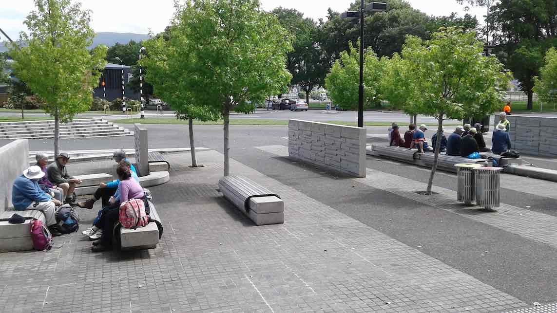
Leaving them undisturbed we headed off down the hill, and the steps, to Logan Park and around to the stadium for lunch. (Quite a relief to have toilets available at both morning tea and lunch!)
Lunch time. (Adrienne M pic and caption.)
The sun shone and a one-legged seagull enjoyed lots of titbits.From here it was a stroll across the road into Anzac Ave, then across to follow the Leith up through the University
(Judy K. pic.) [Inserted only at Judy’s request. Ed.](Judy K. pic.)
and so back to the Gardens, coffee, and the cars.
Judy and Elaine
7. 15/8/2018. Hikers. Gardens / Leith Street. E. Leaders: Dawn and Pam.
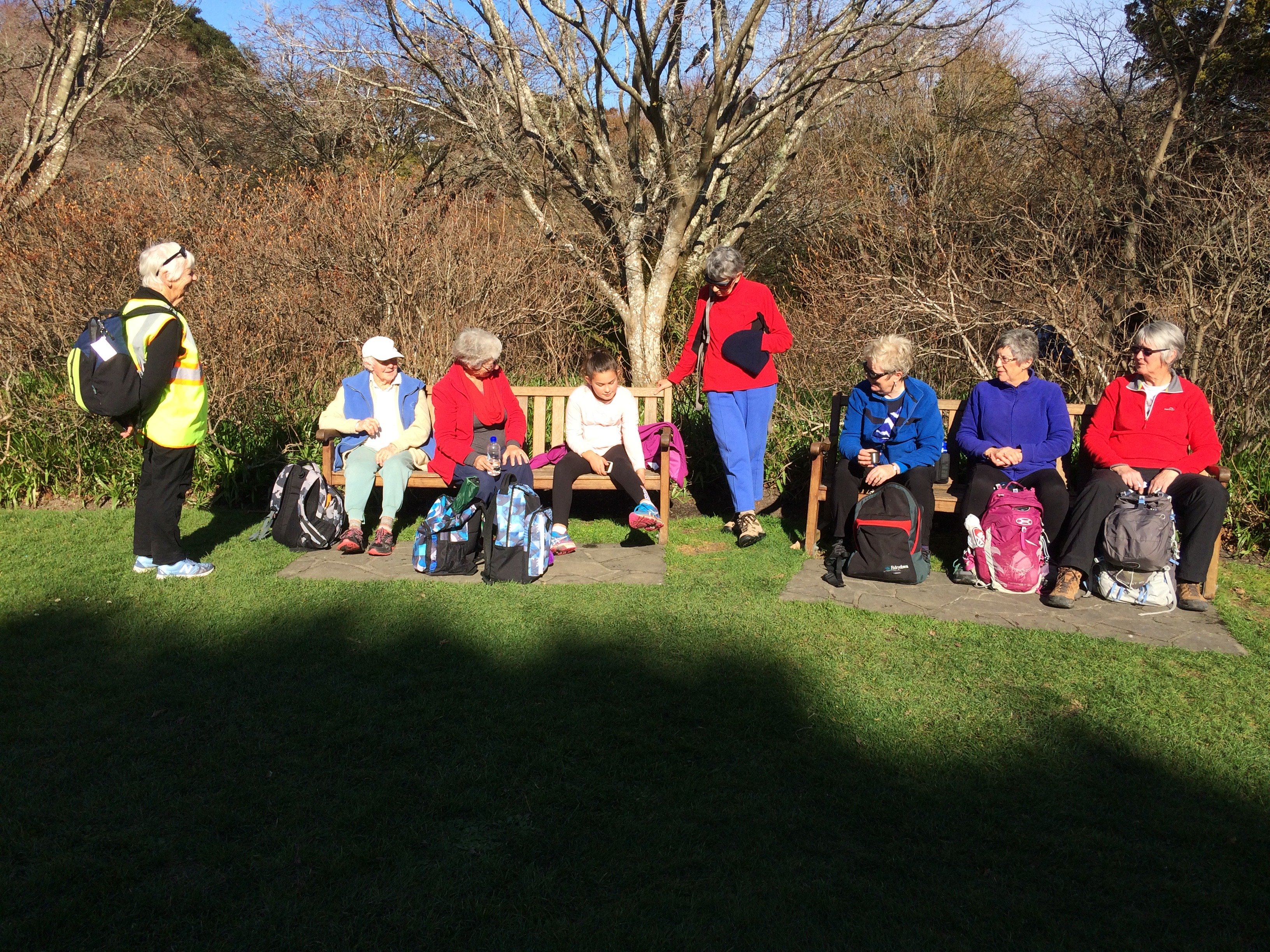
Edinburgh stone memorial. (Clive pic and caption.)Calm day on the harbour. (Clive pic and caption.)Après déjeuner scene, Upper Garden. (Ian pic and caption.)Nancy Syme fountain, Botanic Garden. (Lester told of Nancy Syme long time Mosgiel resident who dontated the fountain. (Clive pic and caption.)
6. 28/6/2017. Hikers. Leith walk Mouth to Woodhaugh. E. Leaders: Jan Y and Jan B.
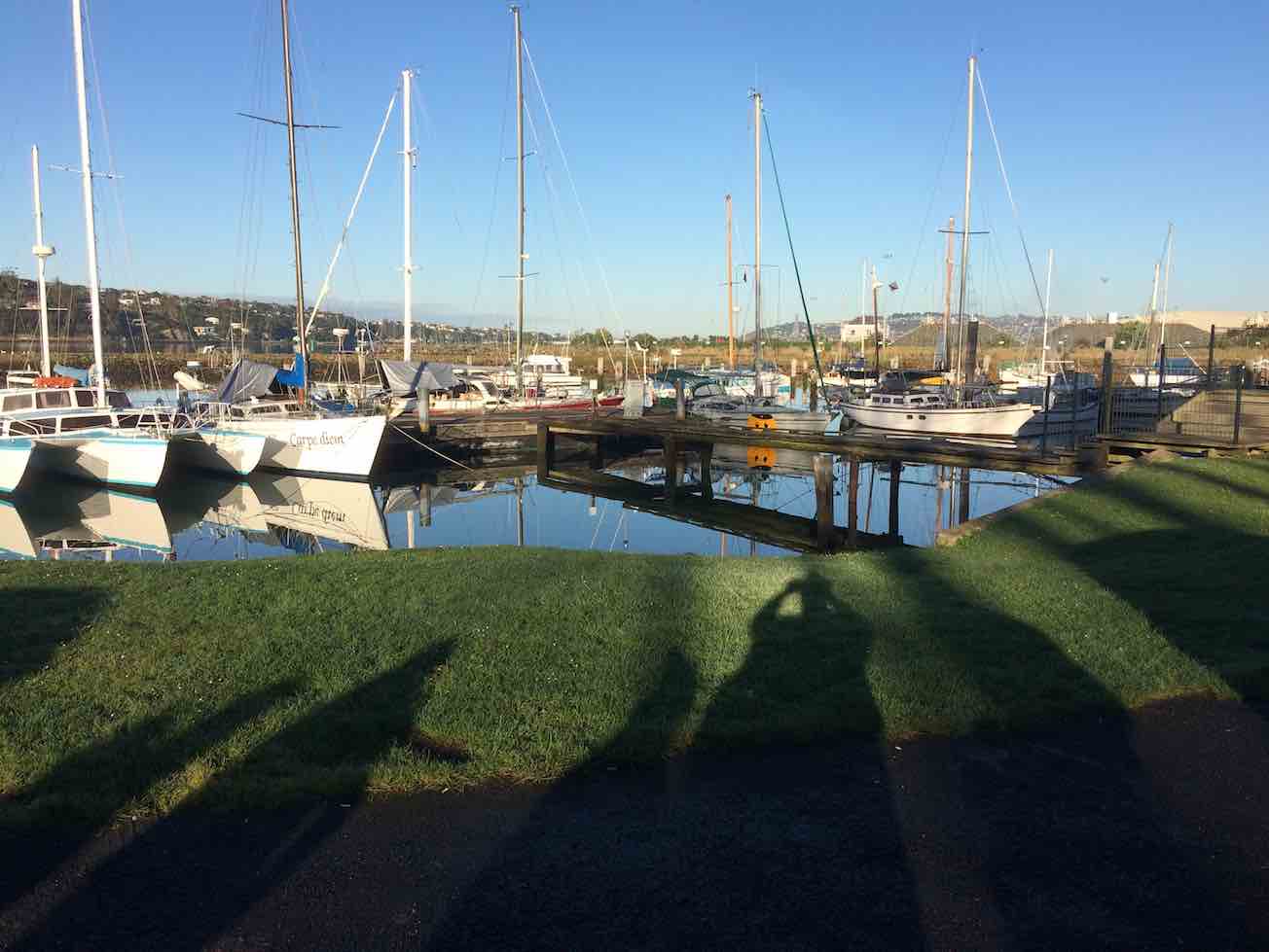
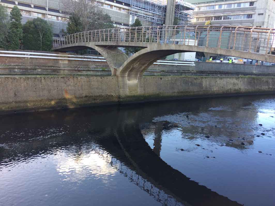
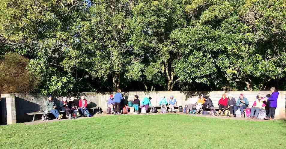
Calm yachts where parked cars. (Ian pic and caption.Albatross wing bridge. Wired head and body difficult to discern. (Ian pic and caption.)Woodhaugh lunch. (Ian pic and caption.)Grafitti on lower Leith concrete way. (Ian pic and caption.)
Les Smith died on the 12th of May 2020, aged 89 years. He joined the Club in the 1st of March, 1990. Club Member for 30 years. Club President on two occasion, 1998-2000, and 2013 to 2015. Life Member 2018.
1. 7/4/2021. All. Takitakitoa Wetland. Leaders. Raewyn, Phil and Jill D
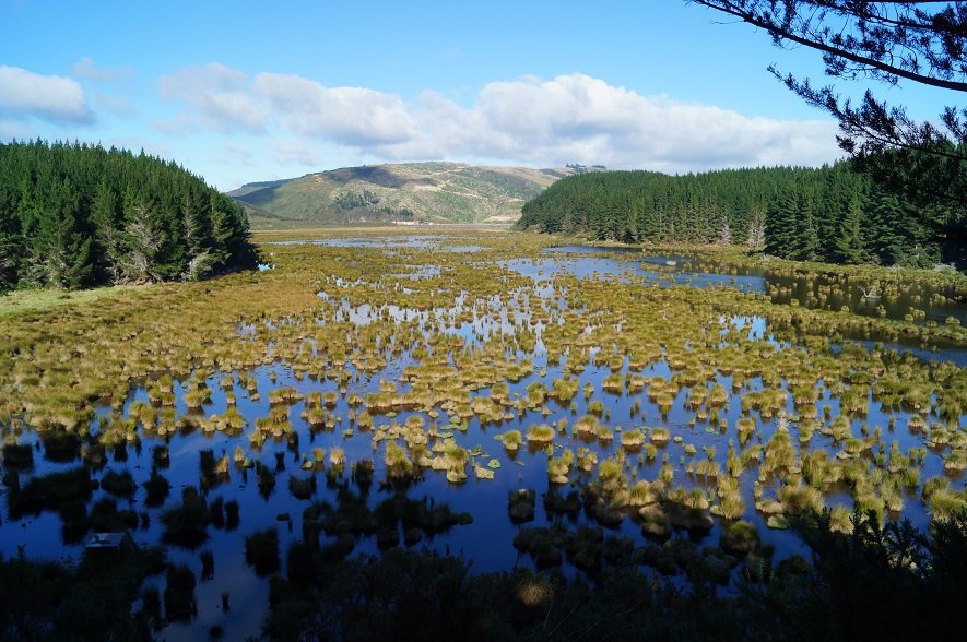
Wow, what a magical place, right on our back door, we can come here anytime, a great place to bring the grand kids…….Just some of the comments from 45 folk as we surveyed the wetland from the look out after the initial 20 minutes of walking, and listened to Steve Dixon from Otago Fish and Game wax lyrical about his office and spot fng his house, and who would disagree with him.
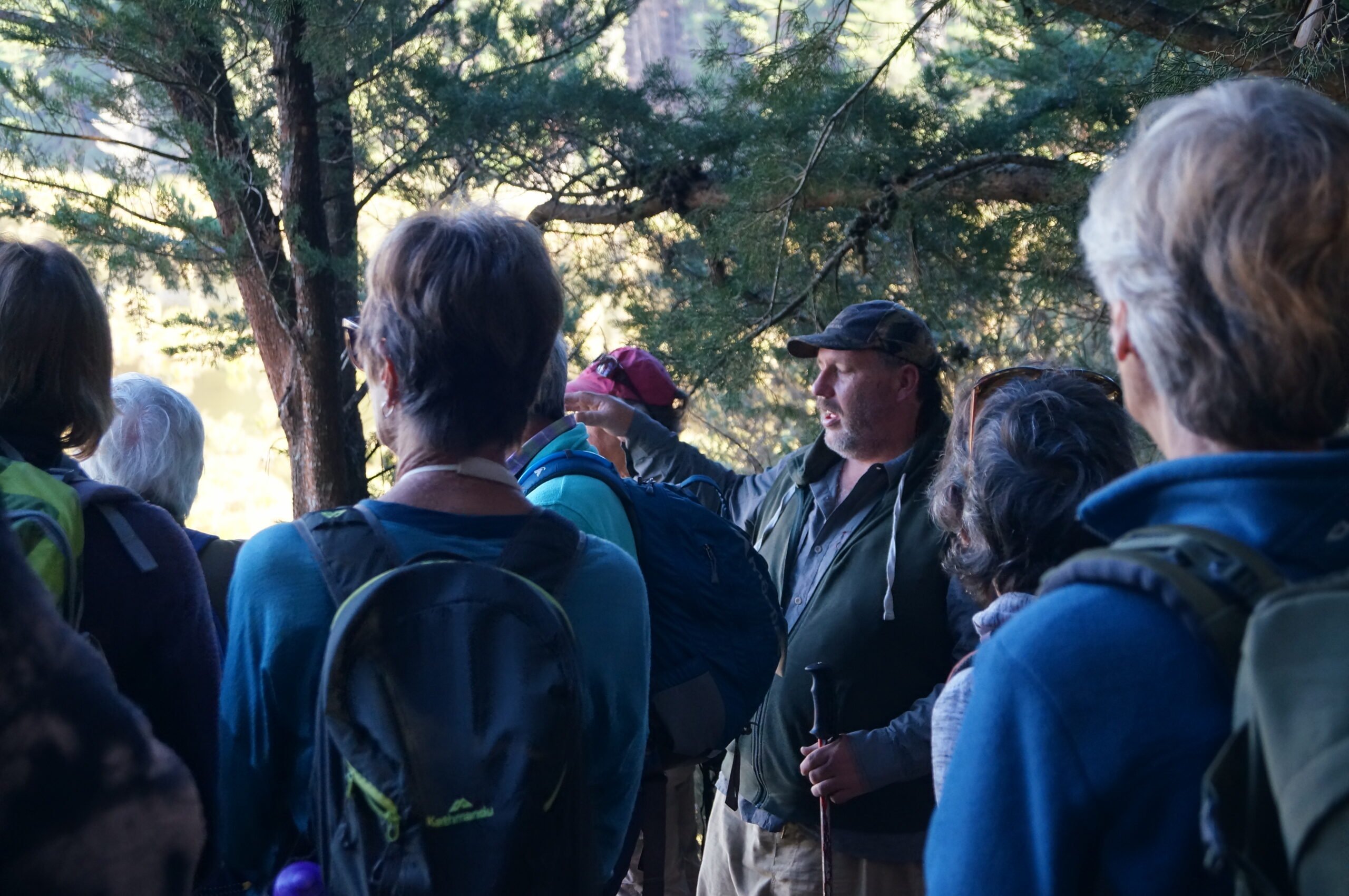
“The popular view” – Photo and Caption John.“Steve from Fish and Game talking.” – Photo and Caption John
Steve clearly had done a Health and Safety assessment, having first created additional steps and boardwalk to aid access to the lookout track. He outlined the land history of the area, including land swaps, to provide an effective area for the wetland, as well as the process of creating the lake through the formation of the bund, and how flows and water levels are managed.
The area was quickly adopted by a range of water fowl and aquatic life and the mai-mai’s are available and open to junior and novice game bird hunters, principally on the opening day of the game bird season.
Photo and Caption John
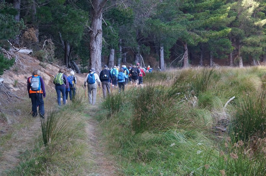
Following morning tea we backtracked from the lookout and carried on, past extensive and fast growing native plantings to skirt the wetland and finally to arrive on the bund, that effectively controls water depth in the wetland at around 800mm. We strolled and shambled across the bund, where Steve outlined the fish pass process, including the inanga (whitebait) breeding habitat.
“The water and whitebait come and go from here!” – Photo and Caption John..
In addition to brown teal, mallard, ‘parries’, black swan, and one or two white faced heron were also observed. Some perch maybe establishing themselves in the wetland as well. The fishermen turned their eyes to the pools….
In thanking Fish and Game for their hospitality it was commented that it was great to see a vision achieved so quickly, and with the right environment and support to see how nature can quickly be re established. Thanks also to the NZ Game Bird Habitat Trust for funding .
Folk stretched out for the return walk to the cars, with Steve providing some assistance for hitch-hikers over the last few hundred metres. Thanks again Steve.
From the Wetland car park there was a steady procession of cars headed for Momona Hall to enjoy a convivial lunch with guest of honour Lester. The chairperson of the Hall committee provided an interesting over view of the history of the Hall, and outlined in some detail the restoration efforts, principally the magnificent murals and overall presentation of the Hall. Yes a great secret that should be more widely understood and appreciated.
“Learning of the History and murals of the hall.” – Photo and Caption Pam
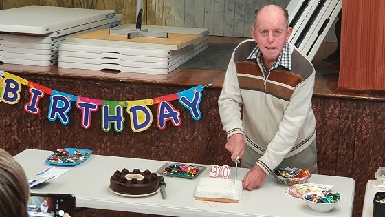
Arthur outlined to the group Lester’s work and community contribution, including to the Club and presented a card to Lester, which was followed by a fairly rousing version of Happy Birthday Lester. In his response and subsequently the cutting of his chocolate and fruit cake, the latter so expertly baked by himself, Lester managed to squeeze in quite a bit of comment, acknowledging also Mrs Harvey’s 93rd birthday as well as their 65 years of marriage. Well done!
“I made this 90th birthday cake.” – Photo and Caption Clive
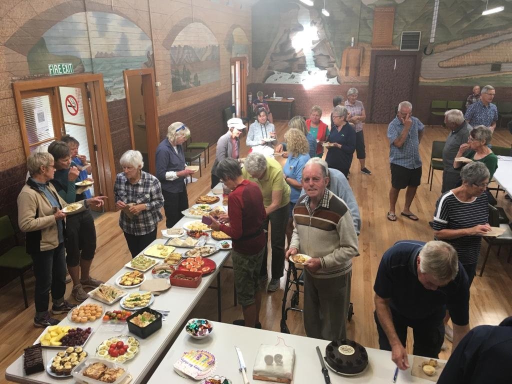
In true tramping fashion justice was done to the lovely food, to which everyone had so ably contributed.
“Lester’s 90th birthday function.” – Photo and Caption Pam
Many thanks to all involved in making the day first and foremost such a wonderful social occasion.
9. 18/3/2020 Trampers. Bendoran, Mt Misery, The Gap, ABC caves. Leaders – Arthur and Eleanore
On Wednesday 18 March, 4 trampers had wood, coal, gas and food packed into 2 cars ready to travel 60 km to Bendoran for 2 nights. Along the way we met up with the other couple in their car. We travelled up to the old Cherry Farm site, onto McGrath road—then a very dusty trip up the gravel road to Bendoran. On arrival, we tidied the hut, lit the coal range and had lunch.
Photo and Caption Gordon – “We have arrived at Bendoran Hut.”
On a lovely sunny afternoon, with Arthur as our Leader, we walked up Mount Misery (714 metres) which was reasonably steep, however, we had great views of each every direction.
Photo and Caption Gordon – “On our way to Mt Misery”
Photo and Caption Gordon – “Mt Watkins from Summit.”
After coming down rather thick tussock, and heading back towards the hut, we then climbed up the fence line to Terry’s Knob (refer Hamels book section 7:13), then a downhill, uphill to get back home.
Photo and Caption Gordon – “Next stop top of Kerry’s Knob.”
Once back, it was time to light the open fire and enjoy a tasty selection of nibbles and have a yarn. Followed by dinner, consisting of a rather large stuffed chicken, new potatoes, carrots, broccoli and peas. Then, as if we hadn’t had enough to eat, it was time for Hot Cross Buns with butter and Jam (some members hadn’t matched up jam with the buns) don’t quite know who is right!!
Next morning all were eager to get to the Gap. Kevin(Barney) Black was Farm Manager and now leases the 5000 acre Bendoran off David Malloch, arrived to meet us. We started off at 8:40am, stopping to watch his clever dogs bring in a mob of ewes that were being trucked off.
Photo and Caption Gordon – “Where we are heading Thursday morning.”
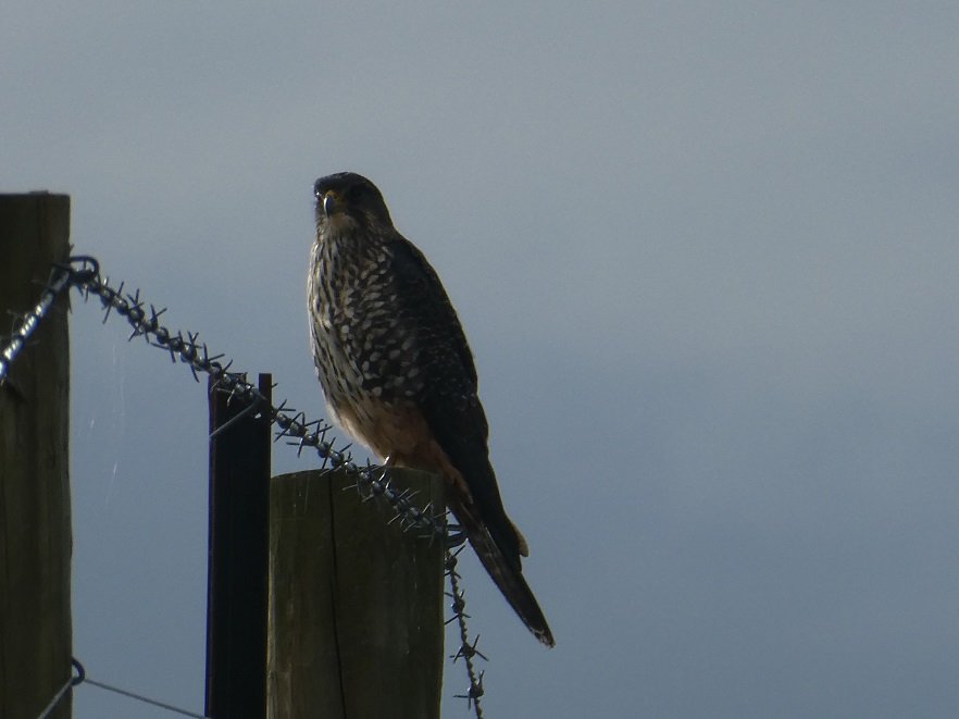
The morning was very clear, warm and sunny. While the happy group were following the track up and down, all of a sudden a Falcon was spotted sitting on a fence post. He wasn’t bothered by our presence allowing us to keep creeping up to take photo’s. Soon, enough was enough, and he flew off.
Photo and Caption Gordon – “Friendly falcon posing especially for us.”
A while later another was spotted in flight.
After a while and a steady climb to a hilltop, it was 10:15am and time for a 15 minute smoko break, enjoying the magnificent views as we talked.
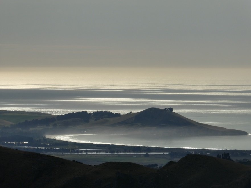
Photo and Caption Gordon – “A view of Waikouaiti Bay.”
By now the Gap was looking closer, however, one could also see a few more hills to climb before we made it . Also lopers were taken along, to cut back gorse in places which made the going a bit easier. We got onto the ridge leading to that big missing chunk, finally arriving in it at 11:35am. A steady three hour effort by all.
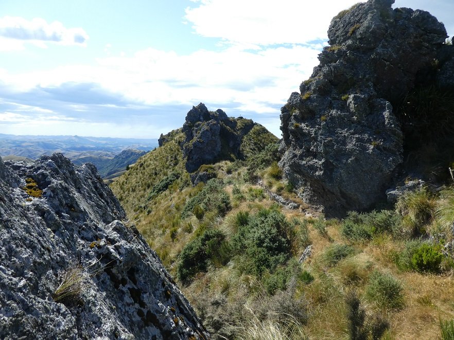
Photo and Caption Gordon – “The gap between two large rock formations.”
On the way up 3 of the group were keen to revisit/visit the A.B.C. Cave (refer Hamels book section 7:12). We all went to the trig at the north end of the Gap admiring views and happy with ourselves to have made it there.
Soon after the 3 decided to delay lunch for a while and headed off to the Cave. Leaving 3 of us to enjoy a leisurely lunch in the sun. Meanwhile, guess who realised her phone was missing!!! meaning a walk back to the trig by 2 to find it, while the other cut back more gorse.
We three then started the trip back. Arthur had made a meeting point with the A.B.C. Group, so 2 of us headed off up another hill with Arthur and his Hi Vis top in view. We waited till we spotted them heading into the rough gully——where they had spooked a ginger pig for Arthur to see.
Once again all headed towards home, meeting at a junction on the track. The A.B.C. group were happy to have went the extra mile to visit the cave, enjoying reading entries in the visitors book.
We stopped on the same hilltop as the smoko break, to enjoy well deserved energy bars etc.
Photo and Caption Gordon – “Heading back to hut after the Gap visit.”
By now the hills were almost behind us and Bendoran trees in sight. 8 hours later at 4:30pm, 6 weary but happy trampers were back home.
In no time, the water was hot and welcome showers had by all. The open fire lit, drinks and more tasty nibbles eaten. Dinner tonight was a delicious (3 recipe) pasta/mince meal with a freshly made lettuce salad. We must have been a bit weary because the Hot Cross Buns were forgotten!!
Photo and Caption Gordon – “Relaxing in front of fire after Gap tramp”
Lots of photo’s(Is mine better than yours?) were taken of the amazing cloud formations. However, later on we paid the price, battered—-huts shaking, doors being blown open by gale force winds, which had us awake much earlier than we wanted.
Friday morning had us up and away quite smartly, this time the dust was being blown off us!! Meeting up for coffee at Blueskin.
We all enjoyed great company, great scenery and great food on our trip into Bendoran huts—-a very special piece of Paradise.
Eleanore and Arthur
11/03/2020 Hikers and Ramblers Brighton Beach E Leaders Liz and Alex
Brighton Beach is always a beautiful spot to visit, and today was no exception.
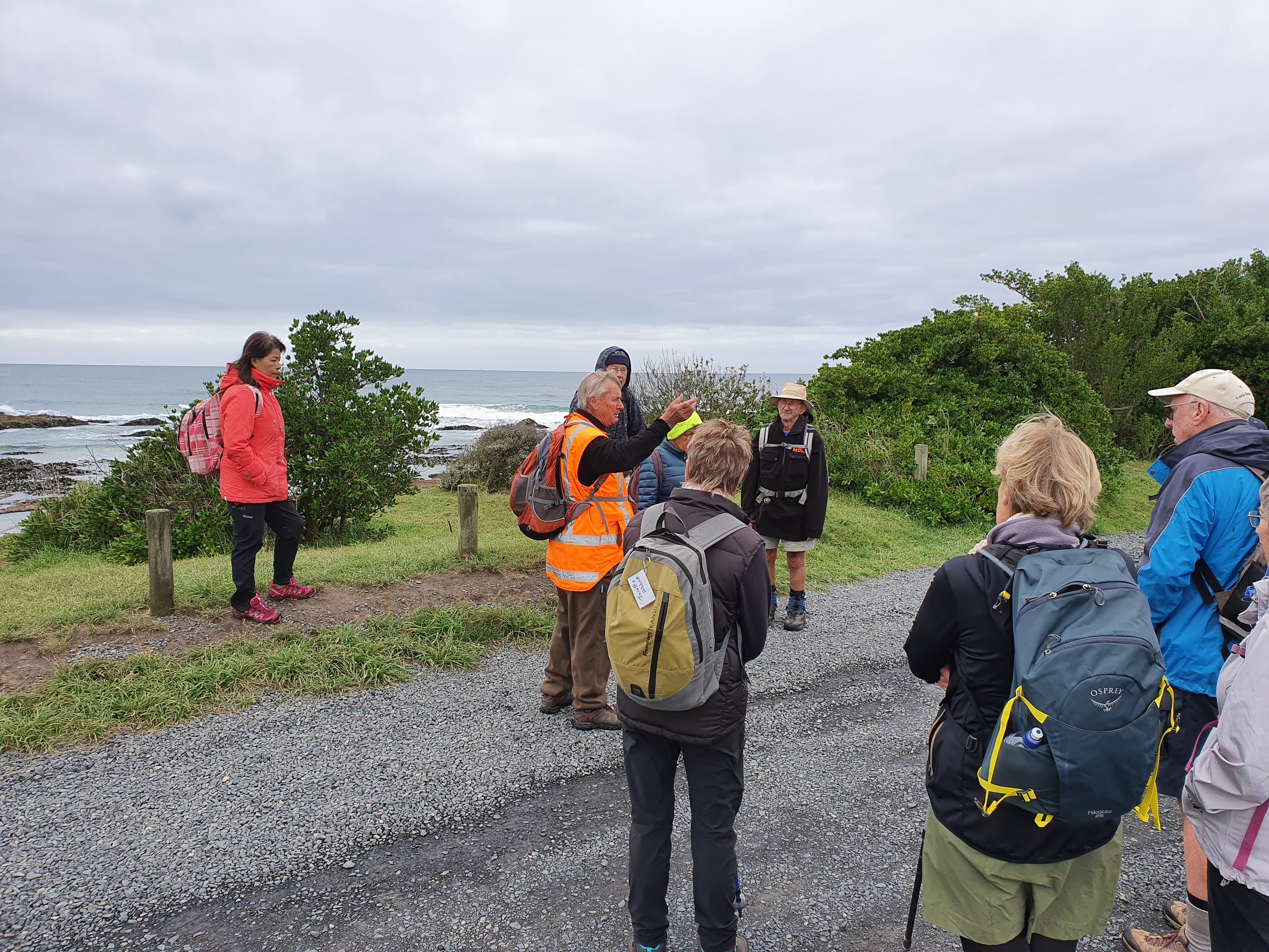
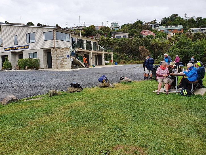
Over 25 Hikers and Ramblers set out from the Brighton Bowling Club. The wind was cool so a vigorous walk along the beach towards Taieri Mouth got us warmed up before turning around and heading back to the surf club at Brighton for morning tea.
Photo and Caption Clive – “Brighton beach car park.”
Photo and Caption Clive – “Brighton Beach Surf Club”
We then headed off towards Ocean Beach, a tunnel and sand dunes. The blackberries were ripening nicely and provided a sweet treat. We were able to point out past and present Homes of ex all blacks, Community leaders and some colourful characters from Brighton’s history.
Photo and Caption Clive – “Ocean Beach tunnel.”Photo and Caption Clive – “Ocean Beach”
Photo and Caption Clive – “In the sand dunes”
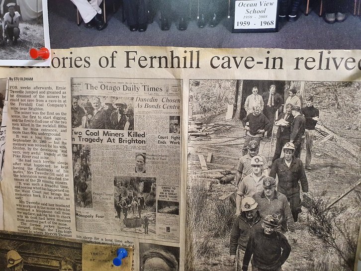
By lunchtime we reached the old creamery coal mine. There were several tales to be told about the coal mining days and of tragedy in the deaths of two of the coal miners. We sat amongst the gum trees for lunch and listened to stories.
Photo and Caption Clive – “Lunch amongst the gum trees”
Photo and Caption Clive – “The old coal mine was over there.”
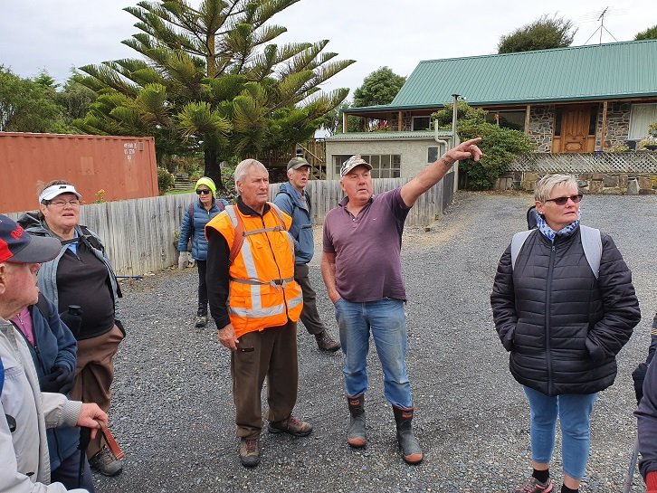
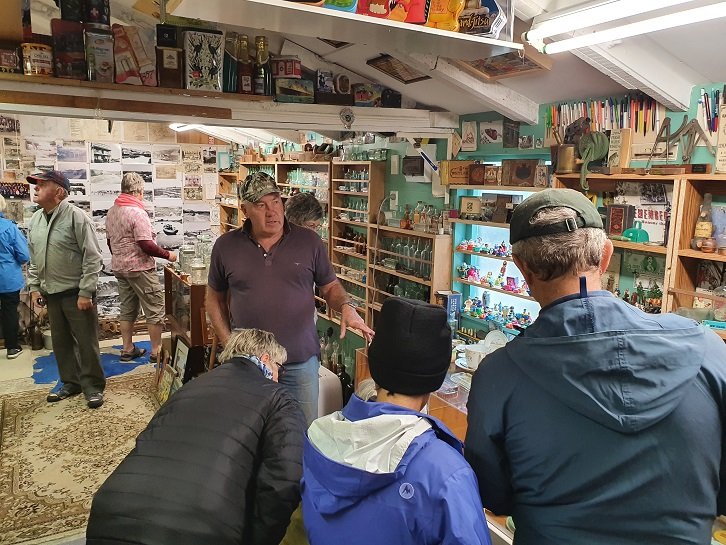
After lunch we walked up the hill and met Warren Harris who owns the site of the old coal mine. We were treated to a visit to his ‘Man Cave’ with some historic treasures and memorabilia.
Photo and Caption Clive – “Warren explains his collection.”
Photo and Caption Clive – “Tragic stories of coal mining days.”
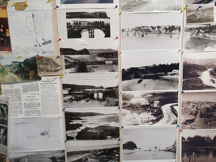
Photo and Caption Clive – “Historical photos from Brighton.”Photo and Caption Clive – “The creamery.”
We then headed back into Brighton past some million dollar homes with fantastic sea views, followed by coffee and a natter at the Brighton Café.
14. 4/3/2020. Both. Traquair Station via Microwave M. Leaders Jim and Betty and Jill R and Barabara
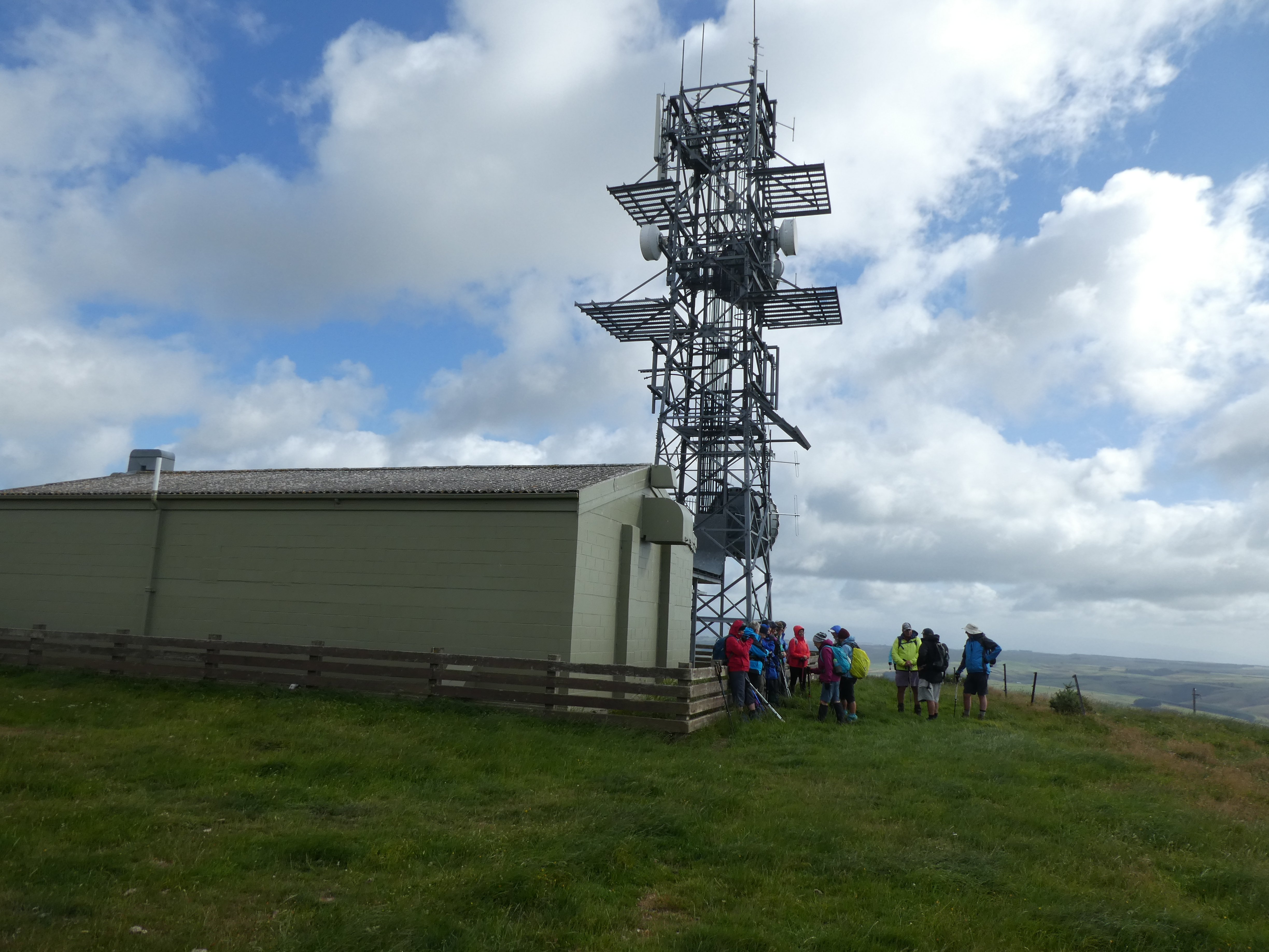
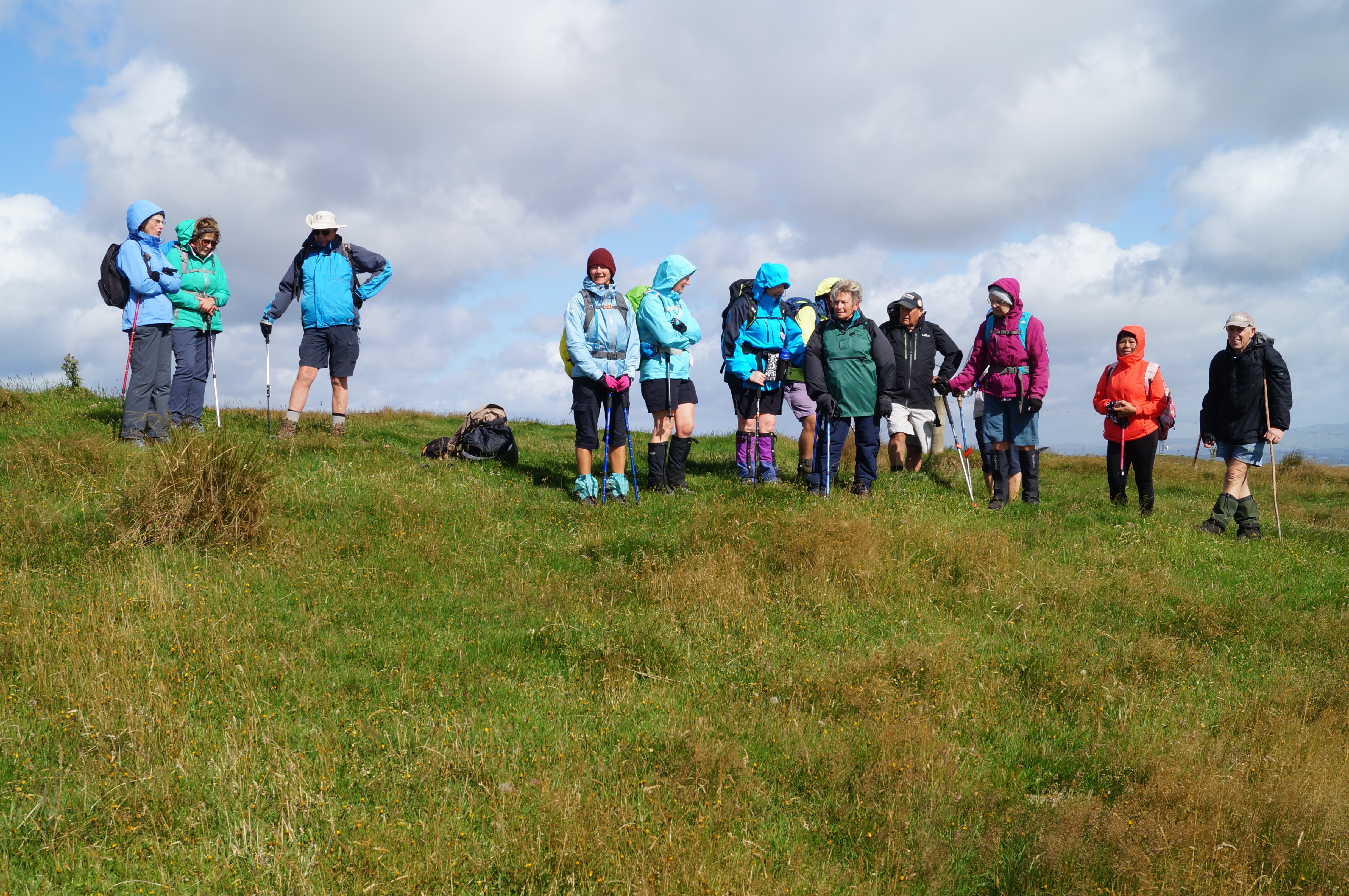
Of the 28 people that commenced the walk 23 made it to the Micro Wave Station where 3 sheltered in the lee of station while the remainder had a further brisk walk on the access road before returning an hour later for the lunch stop.
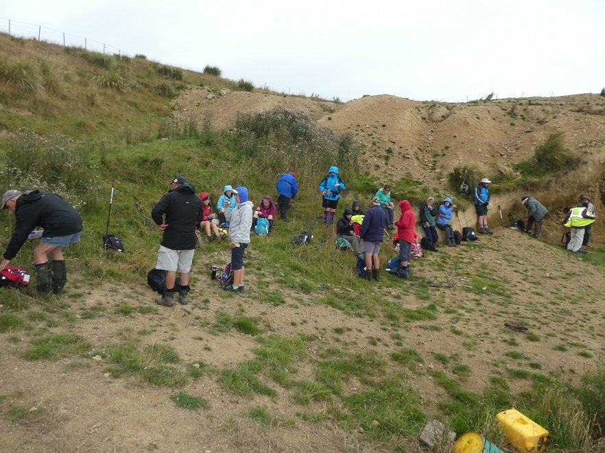
Photo and Caption Gordon – “Early smoko out of the wind.”
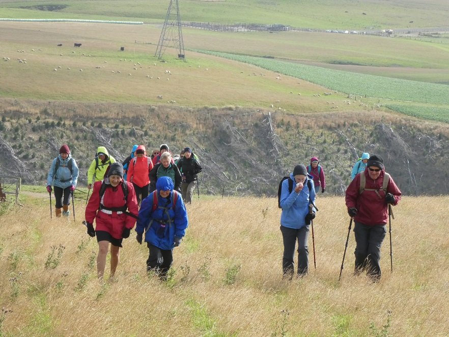
Photo and Caption Gordon – “Heading up to the Tower.”
Photo and Caption Gordon – “The cell tower.”
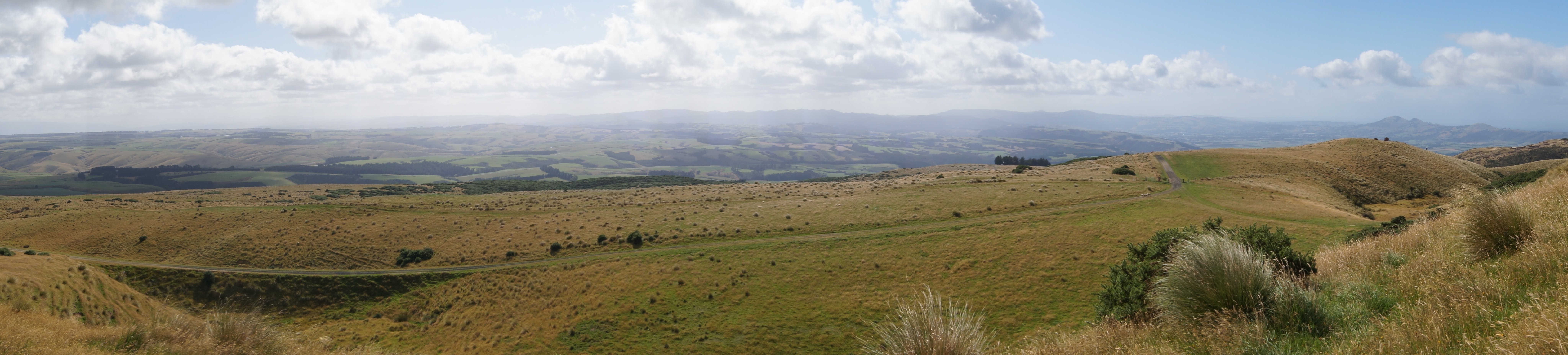
Photo and Caption John – “Taking in the view.”
Photo and Caption John – “The View.”
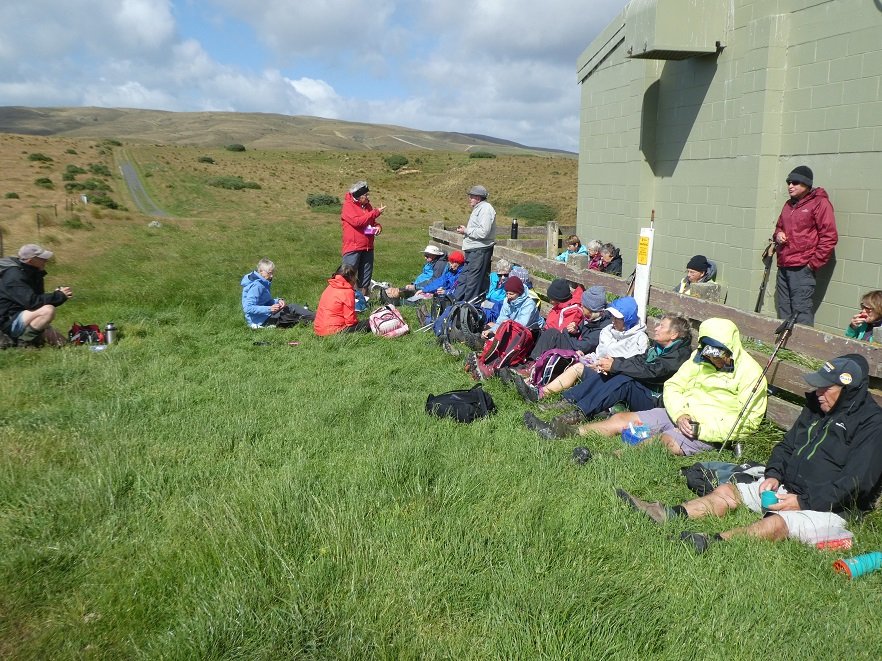
Conditions made for lunch to be brief, because of the chilling wind.
Photo and Caption Gordon – “Lunch back at the tower in the shelter.”
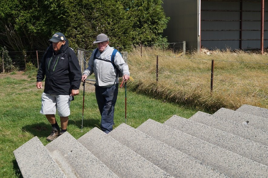
Photo and Caption John – “Wonder what these steps are doing here?”
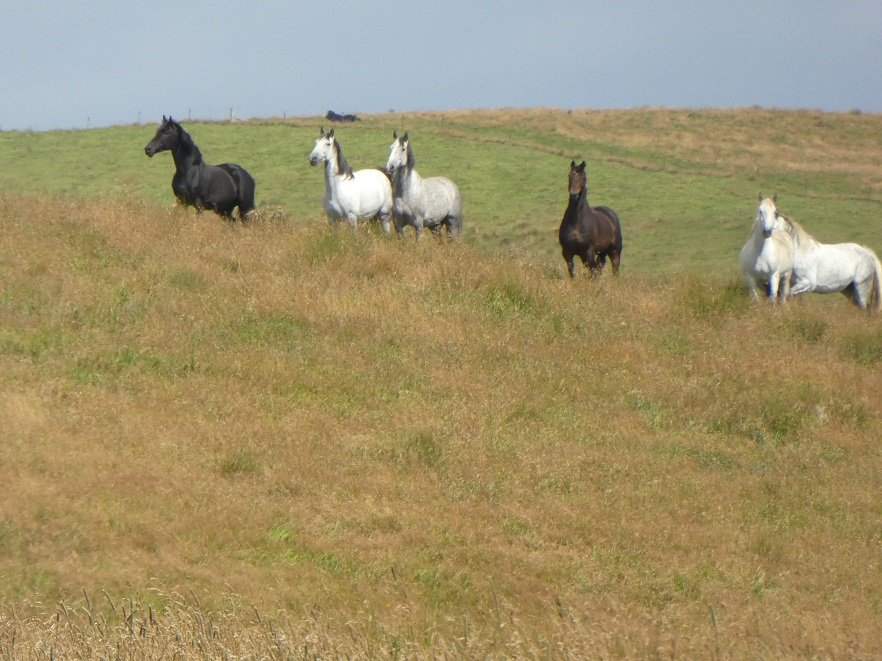
The downhill return on this working farm took us among a variety of animals, including some black & white horses, & after a short gallop, they could be seen looking over the ridge at what had come among them.
Photo and Caption Gordon – “Interested spectators.”
Photo and Caption Gordon – “A good walk in the wind and cold.”
Thank you, Sarah & Barbara, for your assistance. It was unfortunate that Barbara could not be with us on the day. The social stop was at the Wobbly Goat on the return to Mosgiel.
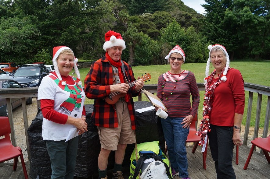
18. 11/12/2020 Christmas Breakup. All. Waiora Scout Camp. * E. Leaders. Eleanore and Jill D., Noi and Adi.
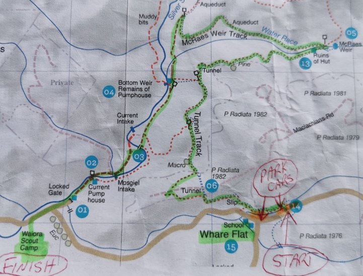
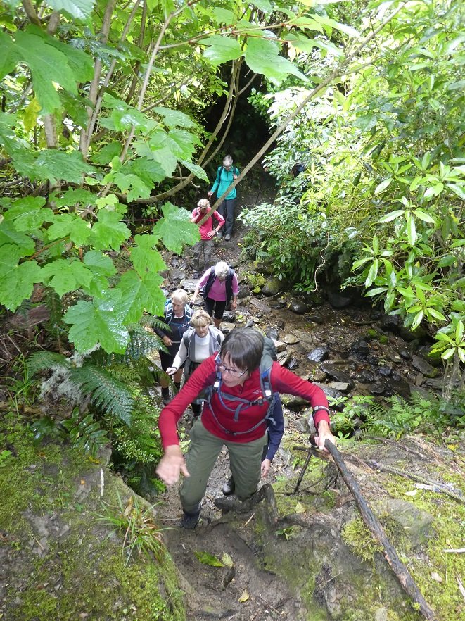
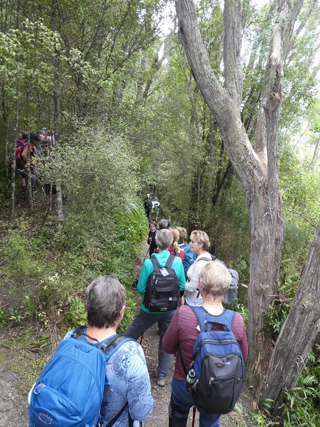
Forty two Trampers/hikers set out from the old Whare Flat School along the Tunnel Track and The McRaes Weir Track and back down to the Waiora Scout Camp. Obviously there was a lot of manual work done by hand many years ago to help supply water to Dunedin.
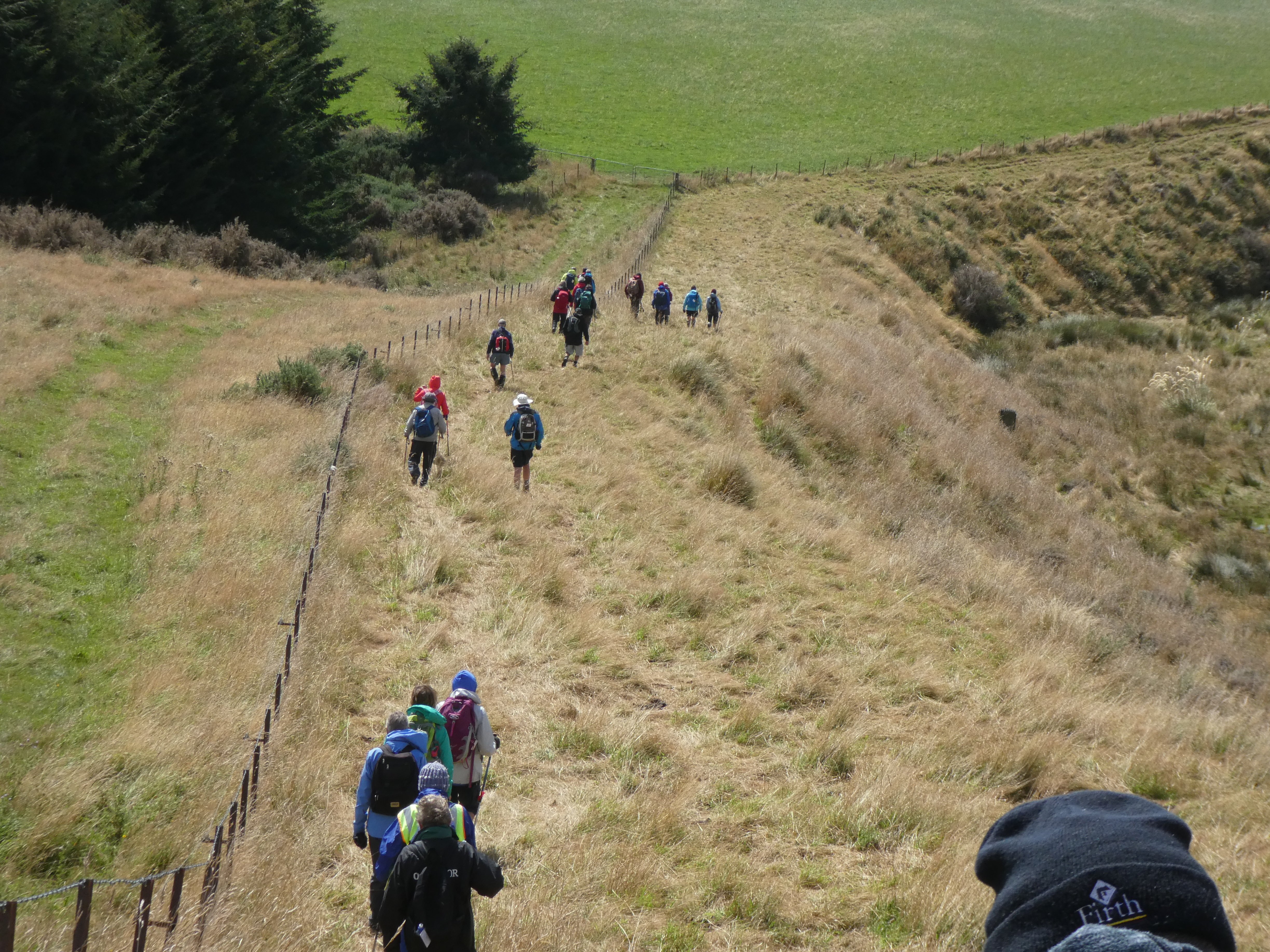
Photo and Caption Gordon – “Some of us are off!”
The walk took approximately 2.5 hours and was 7km in length.
Photo and Caption Kerry – “Where we walked!”
Terrain was gradual and quite easy! With occasional rope climbing.
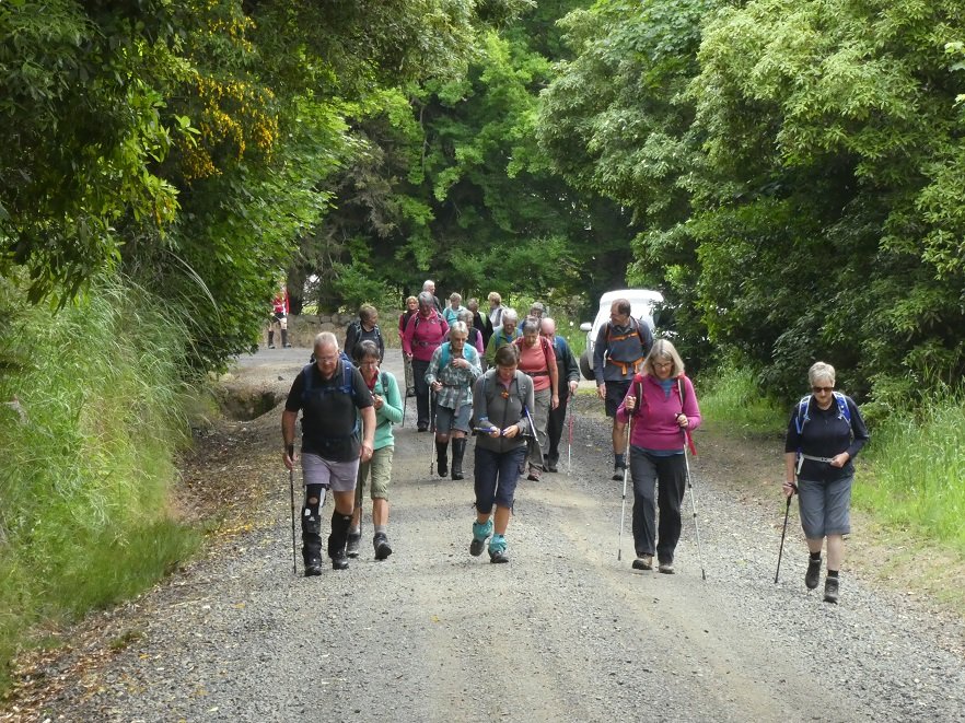
Photo and Caption Helen – “Its good being in one group”Photo and Caption Gordon – “Creek crossing”Photo and Caption Gordon – “Nearing the first pit stop”
Photo and Caption John – “Morning tea with a view”
Photo and Caption Gordon -“Climbing out of the second crossing with a rope.”
Really enjoyed the cool, sheltered natural bush. Very calming!
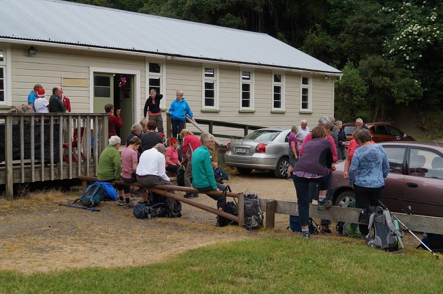
Photo and Caption Gordon – “Heading back to Christmas Dinner”Photo and Caption John – “Waiting for all to arrive before starting”
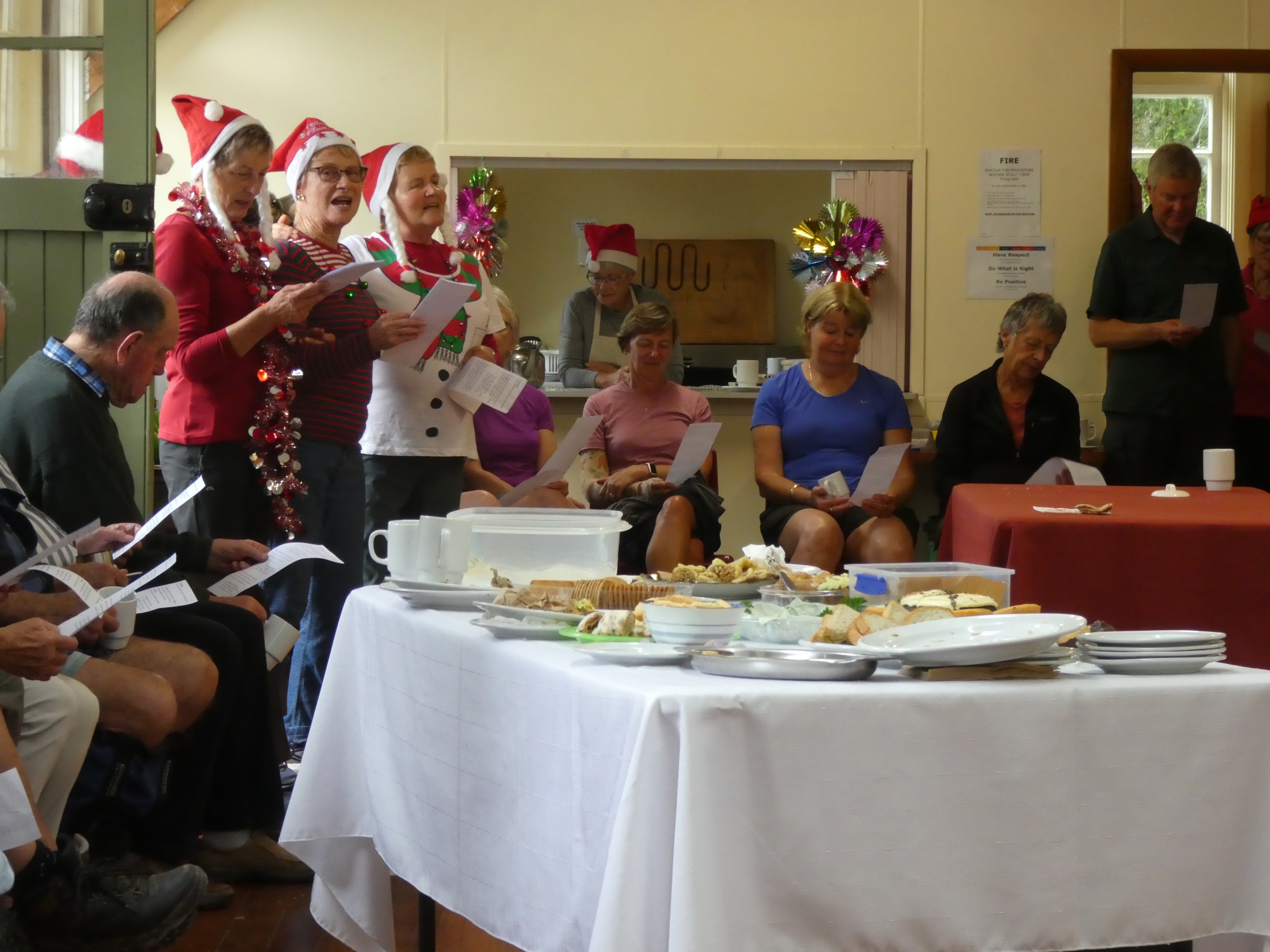
Arriving back at The Scout Camp where camp mums’ Jill and Adi had kindly set up tables with members’ Christmas food contributions. Joined by 10 other members, there was a great spread of food.
Photo and Caption Helen – “A happy gathering”
As well as excellent entertainment which included singing and travel experiences.
Photo and Caption John – “Practise makes perfect!”
Photo and Caption Helen – “What was my name again!”
I need to take the opportunity to say thank you to everybody for making this day successful and memorable.
Merry Xmas fellow club members
Collage Clive
Regards Kerry Popham
17/12/2008 Waiora Scout Camp. Leaders: Bruce and Marjorie.
Marjorie and Bruce led us on a well-thought-out trip around the Waiora property into corners we had never suspected existed. There were paths/routes to follow everywhere.
Waiora Swimming Hole. Bruce Evelyn Elaine
The swimming hole was large for such a small stream.
We crossed and recrossed the Silver Stream on new concrete bridges.
Morning tea was at the camp fire and chapel area.
After that we went on a more extended walk. Bruce pointed out the mysteries of orienteering on one of the o/posts, indicating the braille-like raised dots on which participants would press their paper to show they had passed that point.
Steep descent. Angela
We passed through grass, some mown short, some longer, some unmown, fresh and soft to walk through.
Then it was back to the cars for lunch.
19/12/2007.All. Christmas Potluck Lunch. Waiora Scout Camp and Tunnels. Finger food, cup and plate. Thermos. Leaders: Peter B, Neil, Bob H
We held our end of year pot-luck lunch get-together at the Waiora Scout Camp at Whare Flat.
Peter and Bob H led both groups on a delightful unhurried morning’s walk via the Silverstream Pump House, Tunnels Track
Top over Tunnels. Doug M, Leonie, Marjorie, Lesley, Bruce, Carmel, Evelyn, Who?. Dot B, Ria, Hazel, Bob H
and the old Schoolhouse circuit and back down to the camp. 23 of us did the walk and the noon lunch saw 36 in all turning up for a pleasant sociable occasion.
Awaiting lunch. Doug M, Dot B, Denise, Ngaire, Chris, Who?, Bill. Neil and Bob H behind.
Enjoying lunch. Neil, Wendy, Ken, Ray, Diana, Peter, Bob H, Colleen, Visitor, Nelson, Dot T
Thanks are due to Neil and assistants who remained back and attended to all the preparations at the Troop Den which proved an admirable building for the occasion. Great day, great company, great setting, great finish to the year. – Ian.
3. 27/11/2019. Trampers. Maungatuas Meander via Kempshall Road. M Margreet and Neil
It was warm and balmy as 20 eager trampers set out on our ‘meander’ today. Several in the group were adamant that ‘meander’ slightly understated the nature of the outing – and thought a better description would be ‘a very long Baldwin street’!!
The steep gravel road access to the parking spot proved challenging for some cars and passengers/pushers, but we all made it!
Photo and Caption Gordon _ “And we’re off”
In order to prepare for the ascent ahead we decided to have morning tea on the balcony at the landowner’s bach, which was just a short side trek from the main track.
Photo and Caption Gordon -“A great place for morning tea”
Views from there were stunning and to be honest the group was a bit reluctant to move on.
The steep climb up Mt. Maungatua to the top boundary took around an hour of huffing and puffing and moaning and groaning!
There was no sign of the aggressive NZ falcon and group of fallow deer encountered on the reconnoitre.
Photo and Caption Helen – “At the top looking out over the plains”
But once conquered the vista over the fertile Taieri Plain, wetlands and lakes; was outstanding.
Photo and Caption Gordon – “A view of Saddle Hill and the Taieri plains”Photo and Caption John – “the beautiful Taieri Plain”
Heading south we traversed gullies of verdant native bush and ridges of lush long grass.
Photo and Caption Gordon – “Still climbing”Photo and Caption John – “Further than I would usually take my dog”
We stopped for lunch on a grassy knoll prior to descent.
Photo and Caption Gordon – “Lunch, a disappearing view and a very special birthday shout”Photo and Caption Helen – “Birthday wine shout by the birthday boy Dave”
Within minutes a light easterly brought in low cloud which reduced visibility to a few metres. The leader,using all his native tracking skills, led the beleaguered group safely downhill to the lower track. What a hero!!
Photo and Caption Helen – “Walking down one of the many hills”Photo and Caption Gordon – “”Heading down to the cars we hope”
From there it was uphill and down dale back to the cars, pausing briefly to inspect the adventure course being used by the chatty children from Hampden school.
Recovery was commenced at Outram’s Wobbly Goat with coffee and cake.
P.S. A consensus asserted that this adventure be reclassified from M to H!
Margreet and Neil
2. 19/4/2017. Trampers. Meander the Maungatuas via Kempshall Road. M. Margreet and Neil.
As we drove through Outram heading for our ‘Maungatua Meander’; the rain bearing cold front forecast for lunch-time, arrived 3 hours early! Nevertheless 5 hardy gentlemen and 6 ‘complaining’ ladies set out on the steep 78 minute climb to the top boundary of this private property! We passed ‘Climbing Rock’ and inspected the outdoor adventure course where a tiered viewing platform made a handy stop for morning tea, sheltered from the wind and rain.
Morning Tea. (Margreet pic and caption.)
Confidence course. (Margreet pic and caption.)Jill on the helipad. (Margreet pic and caption.)
Plodding (and puffing) upwards past ‘Falcon Rock’, the top junction was soon reached, but the awesome scenic vistas promised by the leaders, were less than spectacular!
Heading South we followed the farm track passing through gullies of beautiful native Beech forest, and ridges of productive pasture. Destructive wild pigs had been busy in many places. The weather dictated an early descent for lunch beside a waterfall in the sheltering beech forest.
Lunch. (Helen pic.)
A side-trek to visit the landowner’s beautiful ‘Bunker’ completed the meander, during which we covered 8.5 KM and climbed to 1900 ft.
We enjoyed a debrief at the Wobbly Goat Café before heading home. -Margreet and Neil
1. 28/1/2009 Kempshall Road, Maungatua Leader: George
(Off Maungatua Road, beyond Grainger Road.) Permission.
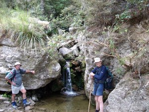
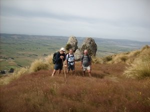
Small waterfall, small pool, big rock. Doug, George. (Hazel pic)Twin rocks. Taieri Plain from Kempshall Rd Track. George, Glenice, Doug (Hazel pic)Back at the cars. Glenice, Doug. (Hazel pic)
Previous days there had been some heavy rain and Arthur took on the task of planning a good tramp, even with a bad weather report for the day. He decided to take us on reasonably dry tracks. The Jim Freeman track was the choice. We wandered along a pleasant track finally reaching Ben Rudd’s shelter for morning tea.
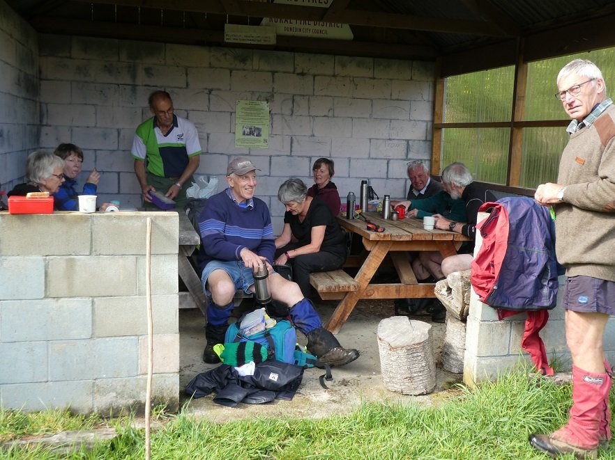
Photo and Caption Gordon – “Smoko in Ben Rudd’s shelter”
The track then headed up to the ridge to meet the Flagstaff Swampy track. The sun was shining with a steady breeze.
Photo and Caption Gordon – “Heading up the firebreak”Photo and Caption Gordon – “Steep bit before lunch”
We walked until we came to the Porky track junction where we had lunch.
Photo and Caption Gordon – “Lunch among the flax and tussocks
We followed Porky’s track down to Possum busters track
and finally back onto the Jim Freeman track – there were a few damp spots! And back to where we started.
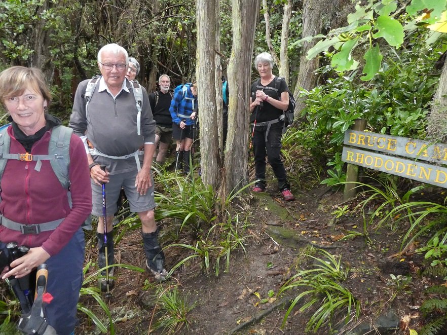
Photo and Caption Gordon – “Bruce Campbells Rhododendron dell”
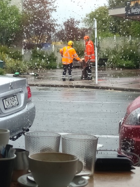
Coffee was planned for Blend. We were all having our coffee and snacks when an enormous gust of wind came with heavy sleety rain which blew a tree over next to Blackstone coffee bar. This provided the icing on the cake!! Plenty to look at and plenty of advice while it got cleaned up.
Photo and Caption Dave – ” Fallen tree in wind gust provides entertainment”
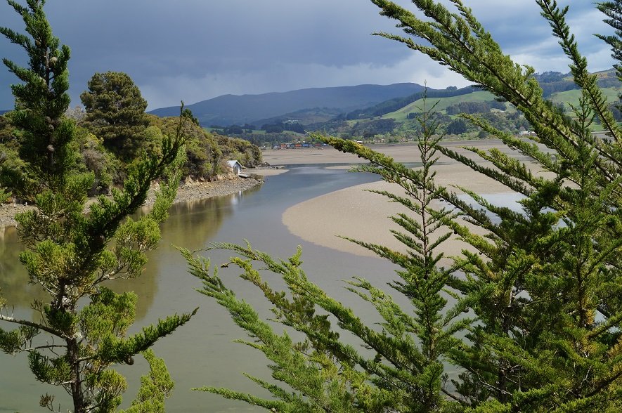
Twenty three hikers took welcomed refuge at the Blue Skin Cafe from the forecast down pour that struck our party a short distance from the cars. The hike was commenced in pleasant hiking conditions on the board walk to the west of Orokonui Lagoon from the Doctors Point Road.
Photo and Caption John – “I’ve seen friendlier skies”
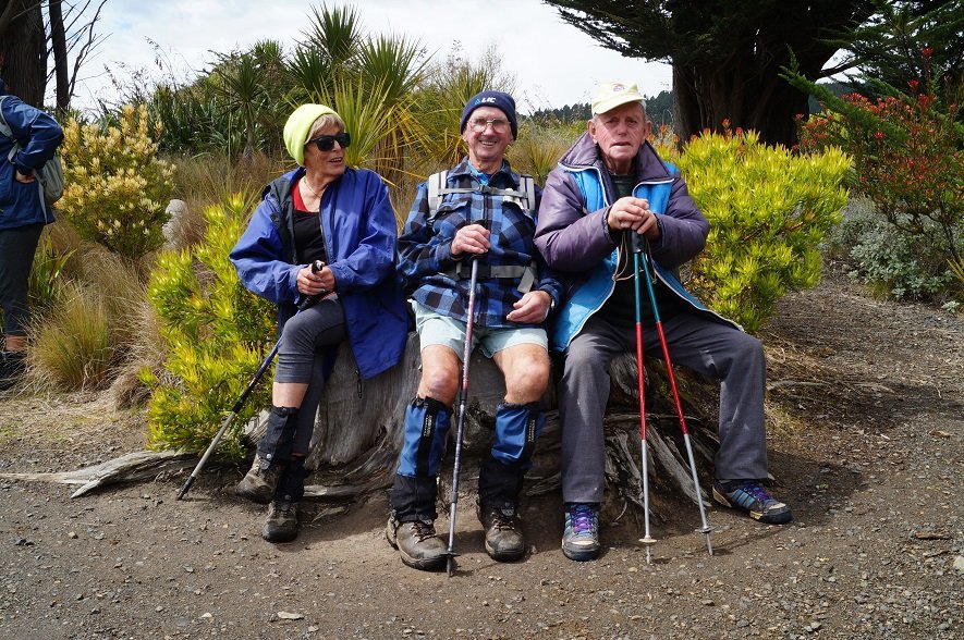
Photo and Caption John – “I think I’ll have a muffin with my coffee today”Photo and Caption John – “Good to be back!”
From there it was a morning tea stop by the substation. From there we had foot paths to the Waitati school where it was hoped that a person from the Blueskin Resilient Communities Trust
would provide information on the schools addition of their solar panels, the BEL solar power buy back scheme & their involvement with the Eco House Build that is to be displayed at the Home &
Living show on the 2nd & 3rd of November at Forsyth Barr stadium. This house was constructed by women. It was due to attending to the final details of the Eco house that the BRCT were unable to oblige.
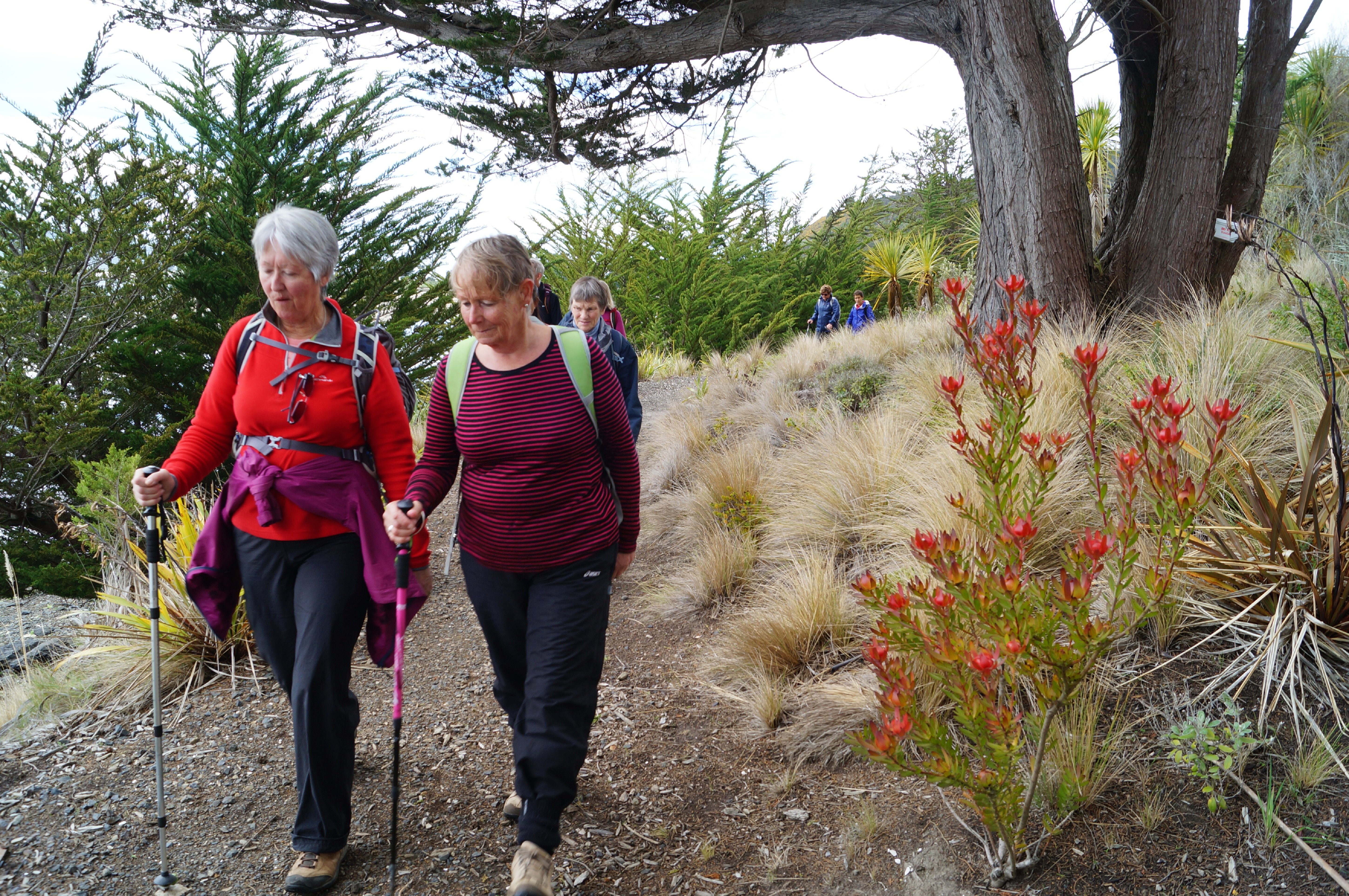
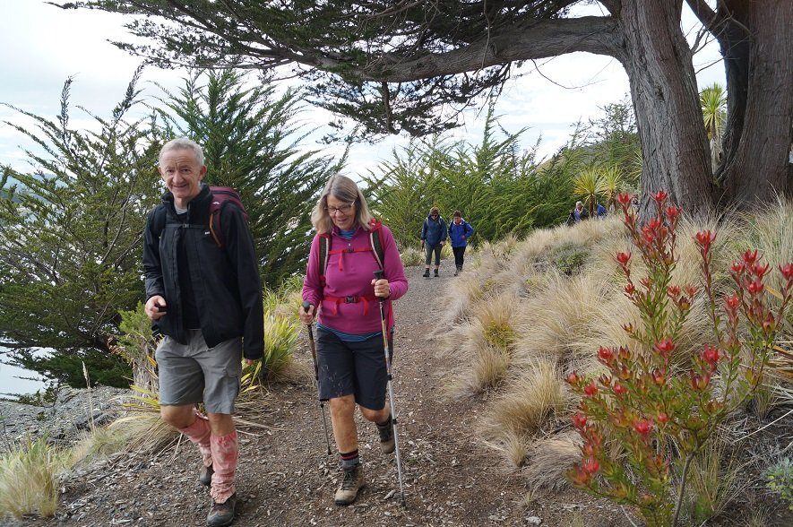
Photo and Caption John – “Enjoying the Opeke track”
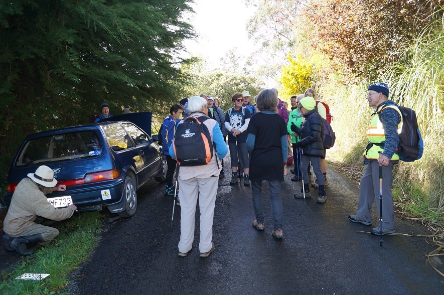
The next point of interest was half way up View St we came upon a couple attending to fitting new number plates to a car. The woman who was obviously very proud of this just completed conversion of this vehicle to pure electric. (EV) The bonnet was lifted to show the very neat functional set up which had a range of 140 kilometres. She just had to have a photo of the car & amp;
group. At the top of View St we crossed a sheep paddock to the top of the Waitati cemetery.
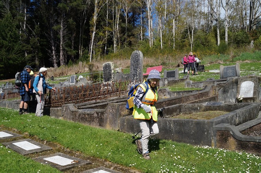
Photo and Caption John – “So much History”
Photo and Caption John – “Old meets new”
Apart from the final downpour it was a pleasant stroll completing the eastern Orokonui Lagoon walkway to Doctors Point Road up to Opeke for lunch & return to the cars.
Photo and Caption John – “These are the good old days!!”
5. 19/10/2019. Hikers. Long Beach. Leaders: John and Robert.
‘Someone once said to me to “Take a Hike” , finally I have!!’
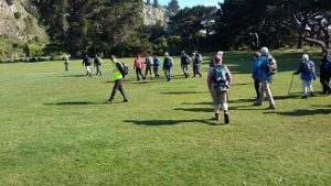
Many of the 29 Hikers who turned up at the Long Beach Domain in mild , improving weather conditions , had hiked in the Long Beach area before.
The challenge for Dave and I , as leaders , was to provide ‘something different’ , a different experience , even a bit of an adventure for them.
We travelled a well trodden route:-
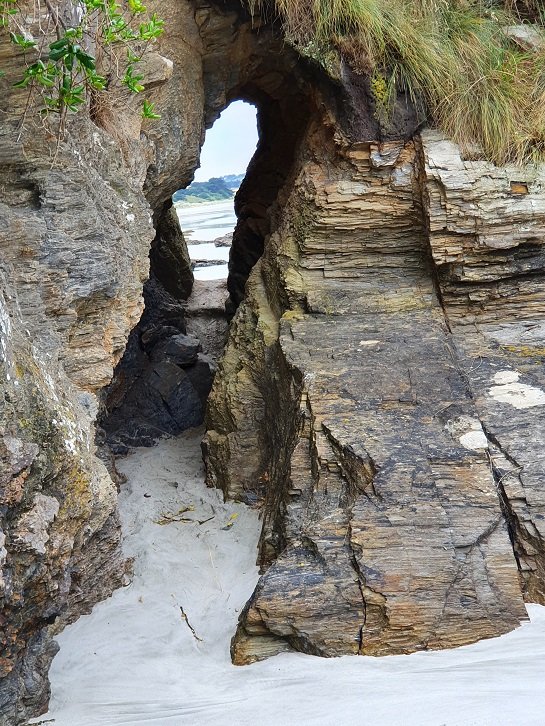
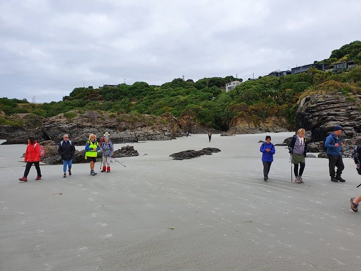
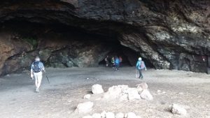
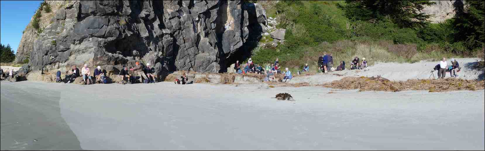
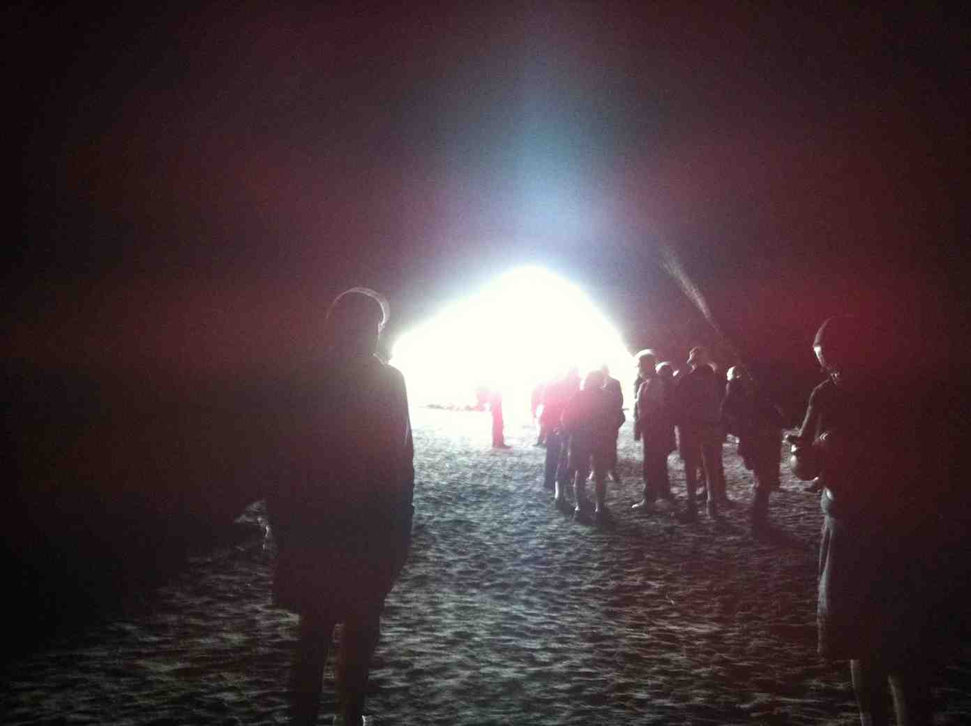
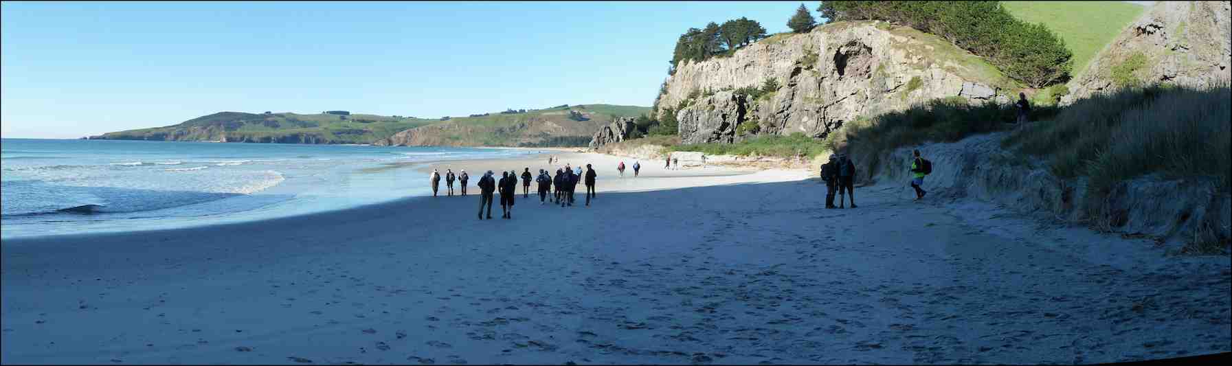
– Along the Beach to the Caves.
Photo and Caption Clive – “Starting out”
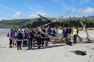
Photo John – Caption Clive – “Improvised driftwood memorial
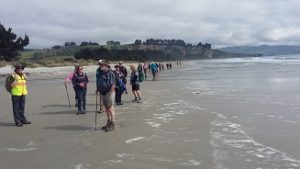
Photo and Caption Clive – “Its a Long Beach
-To the South (other end ) of the Beach.
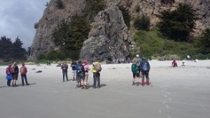
Photo and Caption Clive – “Tahuna kids rock climbing
Photo and Caption Clive – “The Cavern”
-Back to the mid beach starting point.
-Through the Domain , onto Town Streets.
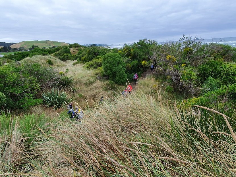
-Onto a pleasant “loop” track towards the Beach ,and onto Town Streets again.
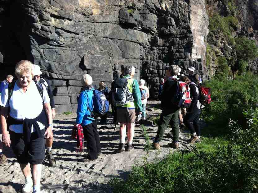
Photo and Caption Clive – “Stile climbing”
-Back to the cars via a short stop at the McCurdy-Grimman Hall.
Afternoon Tea (Coffee) was at a new venue for many ; the Oaken Cafe’.
Did Dave and I make the walk different , even an adventure?
“An adventure is when you don’t know what is going to happen”
I don’t think our Hikers did know quite what was going to happen , hopefully like most Hikes it was a bit of an adventure.
During the hike ,little talks on points of interest ,hopefully gave all a greater appreciation of the area’s treasures.
From Dave and I ,thanks for the opportunity to organise and run this hike.
4. 14/5/2014. Hikers. Long Beach. Easy. Leaders: Judy, Jennifer.
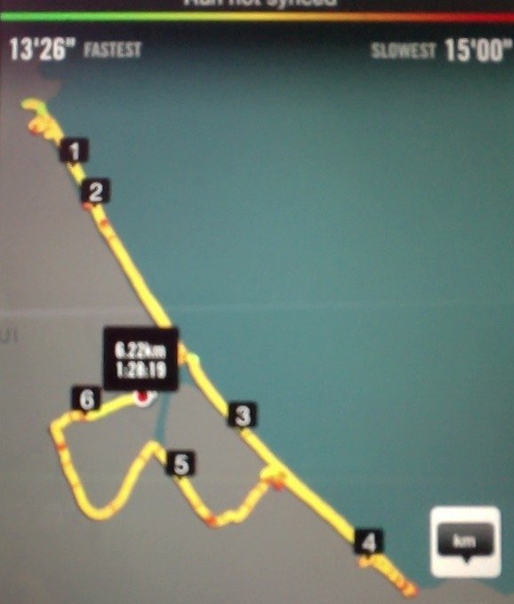
Long Beach Route
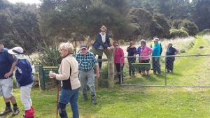
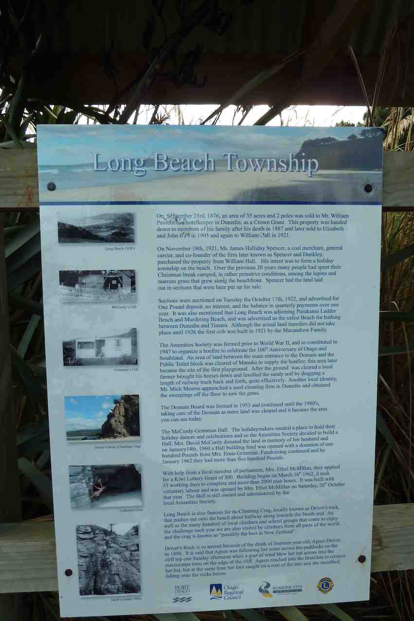
After a few days of rain 32 happy hikers shook off their cabin fever with a pleasant day at Long Beach. At the domain we examined the information boards …
Notice board
… before proceeding to the beach …
and morning tea in the sun on the sand at the first rock-climbing site.
Morning tea at the foot of Climbing Crag or Driver’s Rock, a one-time climbing wall of Judy’s. (John Panoramic pic)
At the far end of the beach the huge ball room cave was explored (nobody wanted to dance) …
Not dancing.
… and the numerous anchor points for intrepid climbers marvelled over.
Marvelling.2nd wall
Back along the beach to the east end we marched, with efforts to keep feet dry crossing the creek fruitless for some.
Fruitless for some. (John pic)
A leisurely lunch was had in the tussock above the beach, where there were obvious signs of sea lions, but none in residence. Fred had to scramble somewhat to deliver his usual chocolate treat to us all – thank you Fred, it’s always a highlight!
And a short stroll back and up through the pines to the village, where Fred told a few tales of some of the earlier residents of the area.
An extended social hour …
Social hour
… at the Orokonui Sanctuary ended a very happy day. – Judy
3. 3/2/2010. Both. Long Beach. Easy. Leaders: Bruce and Marjorie.
We have become accustomed to Bruce and Marjorie’s careful planning on any tramps they lead. First stop then, an information panel stop.
Bruce in full flight. (Bob pic and caption)
Then a walk to the large cave at the north end of the beach for morning tea.
The sea dragon contemplates its meal ?!? (Bob pic and caption)
Returning south a little way to smaller cave, Bruce told us the firm volcanic rocks here and and further south provided 166 different climbs. He encouraged us to detect various bolt points to assist climbers. Fred, who had had a crib here, pointed out the remains of a rusted ladder people once climbed as part of a short cut across to Purakaunui. Through a macrocarpa forest en route back to the cars we discovered unexploded paint balls left over from fights carried out here. Back near the cars Bruce further explained our next destination would be our lunch spot.
A natural park bench ? (Ian pic. Bob caption)
Bruce about to launch. (Bob pic and caption).
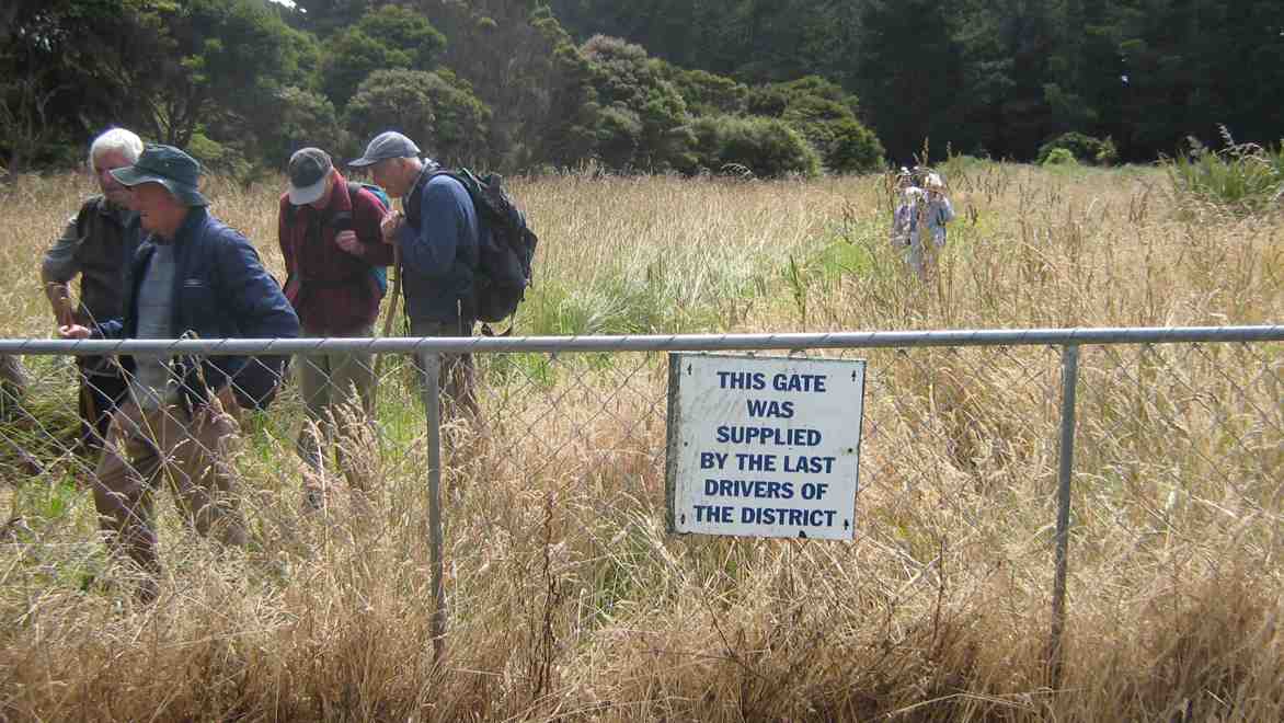
We followed off the road a winding path through recently planted natives to a pine plantation where we lunched. We came out another way back to the road past a memorial gate.
Gate sign. Bill, Fred, Bruce, Peter
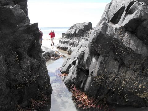
Further south again to the end of the beach and more volcanic rock, clearly showing its hexangonal basaltic formation.
Joyce, the sea tulip!! (Bob pic and caption)
Back to the road and round behind some houses with Fred pointing out his former house and those of several others.
Margaret recalling the house she used to live in when it was at Henley(!) (Bob pic and caption) New roofing iron clearly revealed it had been cut in half for transportation and reassembled on site.
Thanks Bruce and Marjorie for not disappointing us. A most informative and enjoyable day out. – Ian
2. 18/7/2007. Hikers. Long Beach. Easy+. Leaders: Barbara and Arthur.
1. 1/12/2004. Hikers. Long Beach. Leaders: Bev H, Bev M