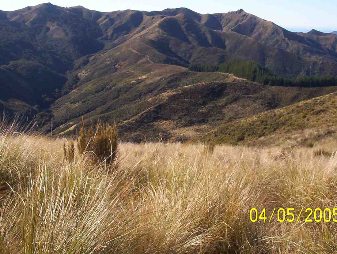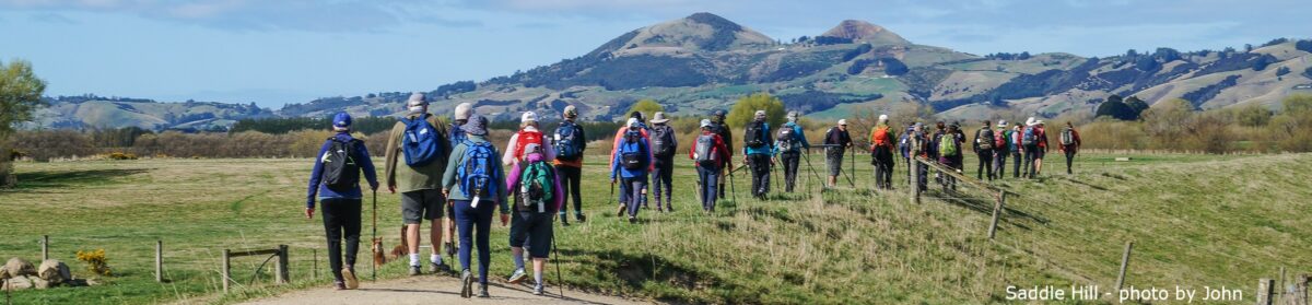
Waipori Road to Shaw Road

No. 110 on old hardcopy list of 113 club tramps. “Waipori Rd to Shaws Rd (See Bill Hunt) Year Round”

32 km from car park.

10. 18/11/2015 Trampers. Rannock Track from Waipori Picnic Area to Shaw Road.
On a day with dodgy looking weather, 7 of us set off for the picnic area at Waipori Dam at Lake Mahinerangi, to do a walk through the forest roads to the old fishermans huts that are on the lake edge. These are the huts that we normally walk to from Post Office Creek end, but that track is no longer negotiable, so we decided to go from the other end.
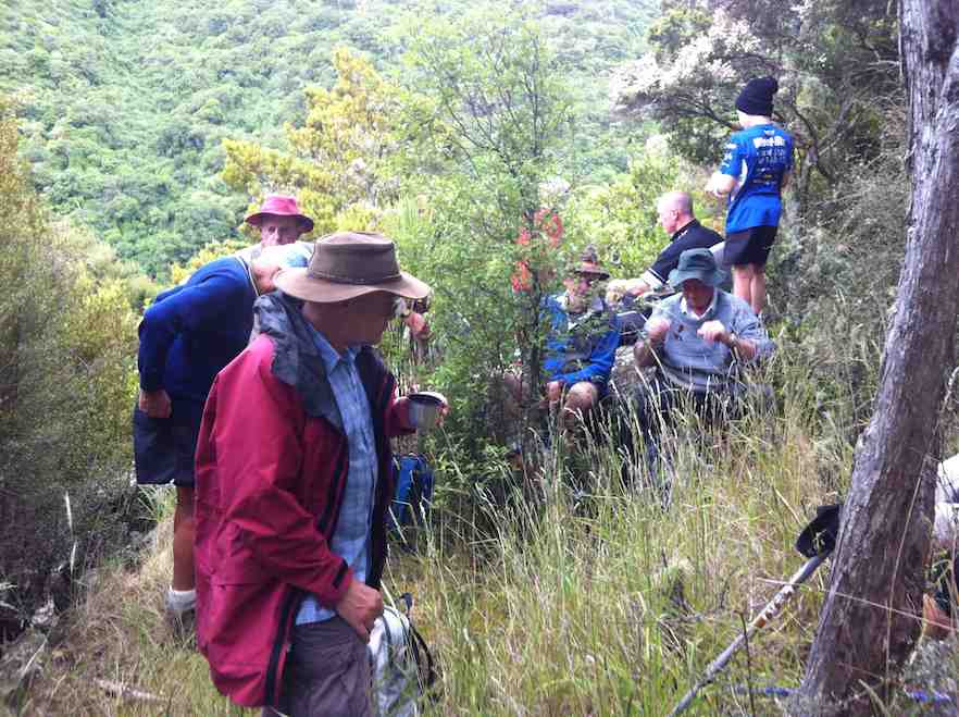
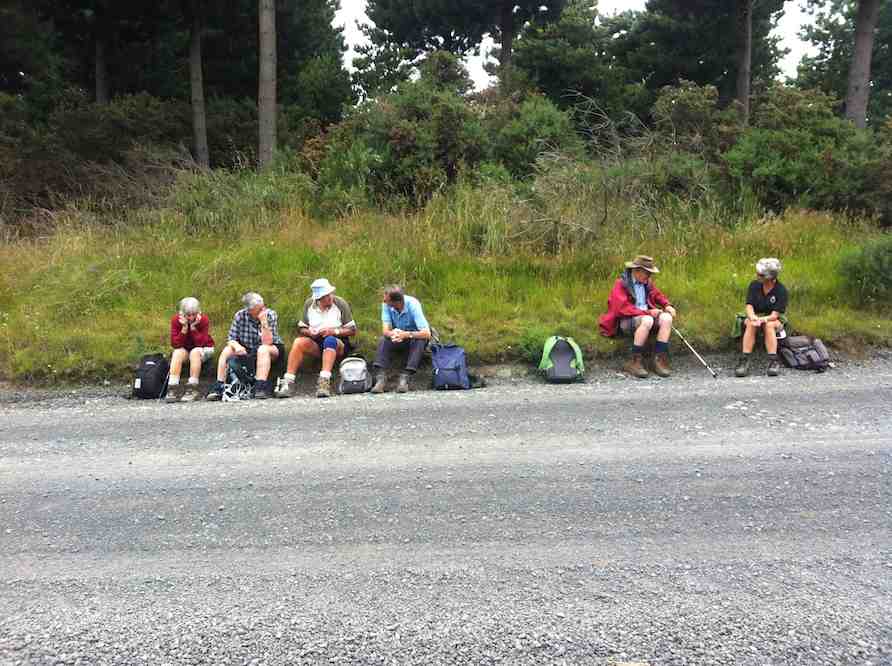
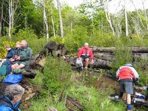
However, when we arrived at the picnic area we discovered that the dam has been closed off with a tall gate, & there is no access allowed into the forest. This came as a bit of a blow to our plans for the day, so having to improvise, we drove back along the road till we found a sheltered place to have morning tea,
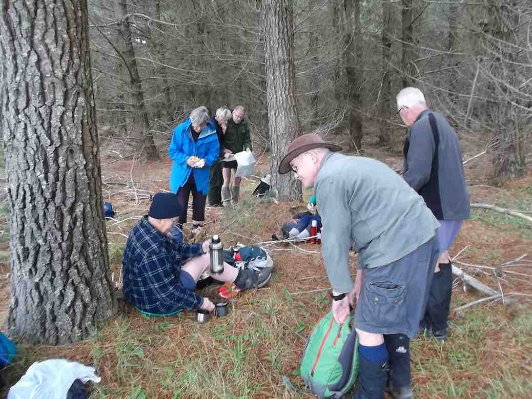
1 Morning tea spot (Ken pic and caption)
1 Morning tea spot (Ken caption)
while we mulled over what the next step would be. We eventually decided to go back down the Waipori Rd. with the view to walk a bit of the Government Track.
We stopped off at the Waipori township to have a look at the Crystal Falls, which a few of us had never seen before. Impressive sight, although being blocked from a really good view by trees etc.
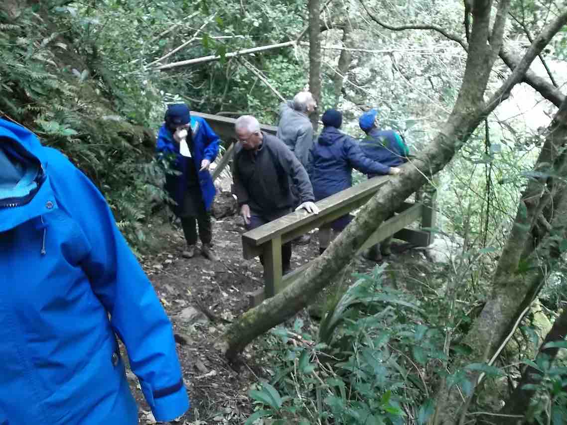
2. At the Crystal Falls viewing platform
2. At the Crystal Falls viewing platform. (Ken caption)
When we got to the bridge over the river just before the Govt. track, we decided to go into the picnic area there, instead of going to the Govt. track, & have a look at the track from there up to Shaw Hill Rd.
We parked up on the entrance road, as there is also a gate across there now as well, & walked up the track to the old shed, where we poked around a bit before moving on further up past the stone seat, & up to where the 4WD track starts. This lead us up to Shaw Hill Rd. where we had a bit of a look around before settling down for lunch under some pines, just by the bee hives. After lunch, we retraced our steps, but this time we took the loop track which joins up with the other one down near the bottom.
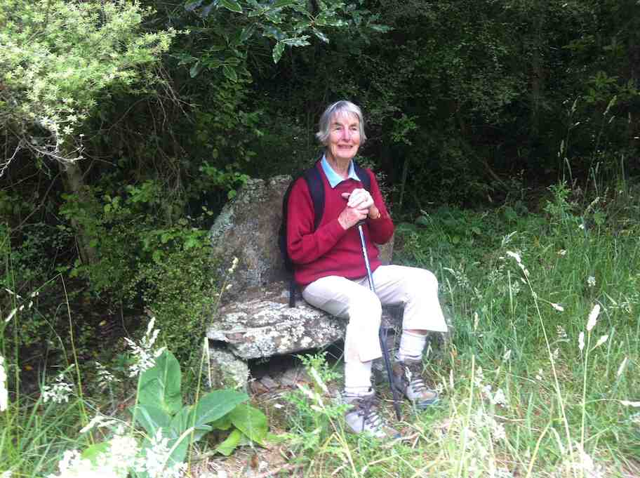
Ian H. did some research on the old shed & the stone seat, & came up with the info that the shed, along with it’s adjacent toilet, was built for the forestry workers, & the stone seat was constructed by the workers for their own amusement.
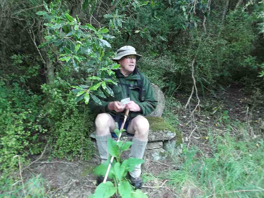
3. Ken taking advantage of the stone seat (Ken caption)
So our day was not entirely wasted, & we all enjoyed the different things that we saw during the day.
Walked 6.5km
3.7km/h
climbed 290m
max height 474m – Ken.
9. 5/2/2014 Both. Waipori DOC picnic area over bridge. Track up to Shaw Road.
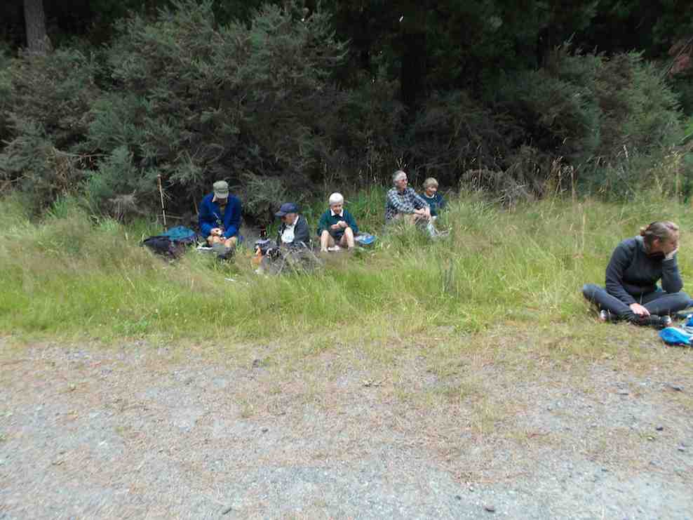
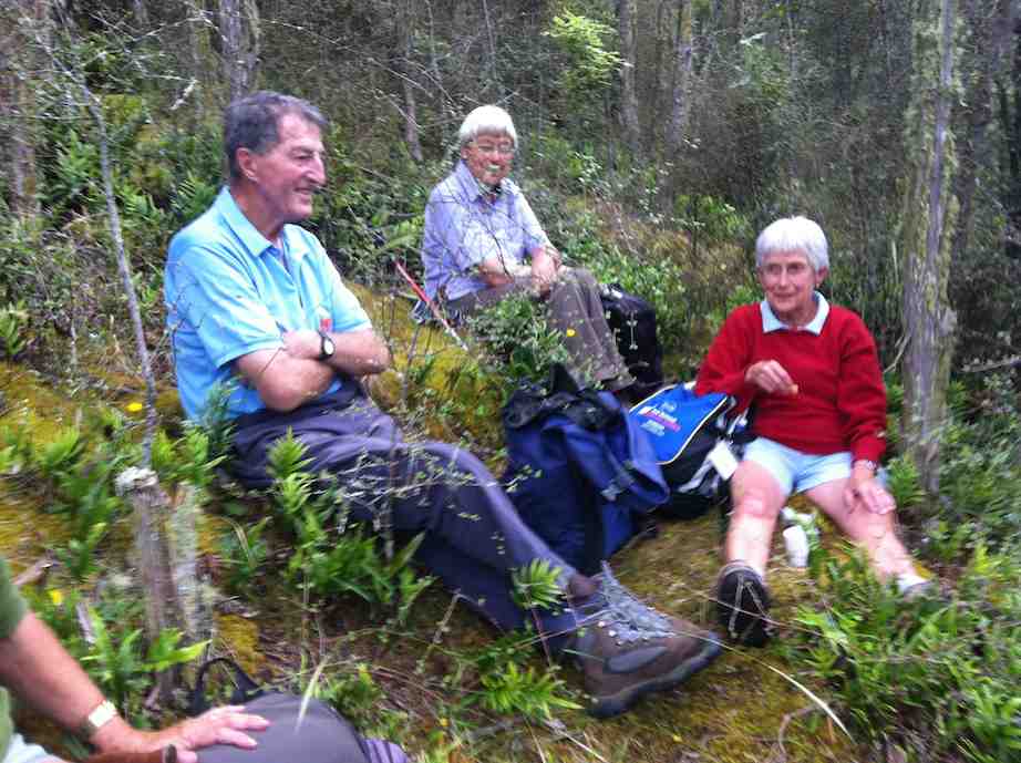
Lunch stop (Ken pic and caption)
Lunch stop1 (Ian H pic and caption)
Lunch stop2 (Ken pic and caption)
Lunch stop2 (Ian H pic and caption)


8. 9/1/2013. All. Waipori DOC picnic area over bridge. Track up to Shaw Road. Leaders: Bev, Ian.
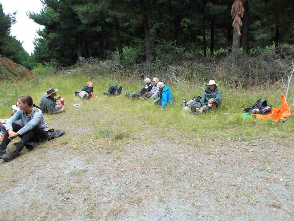
Eighteen climbed the track and four ramblers walked up the Waipori Road.
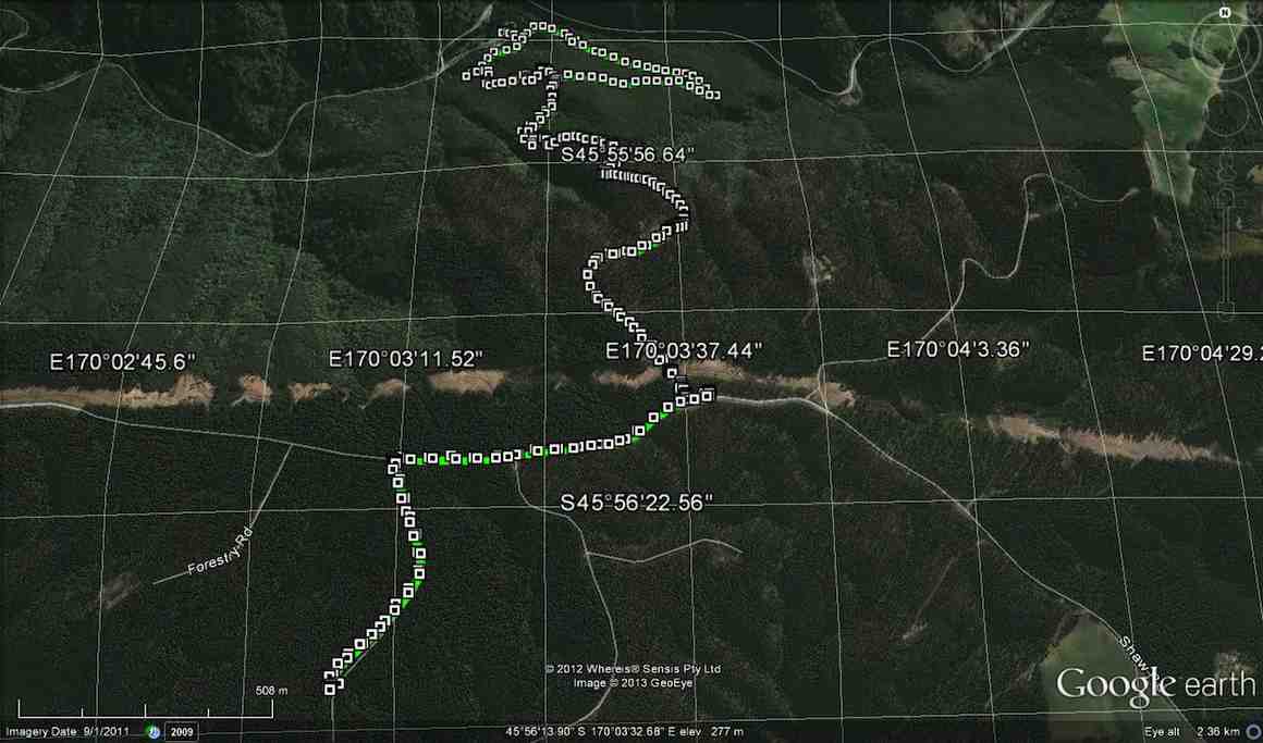
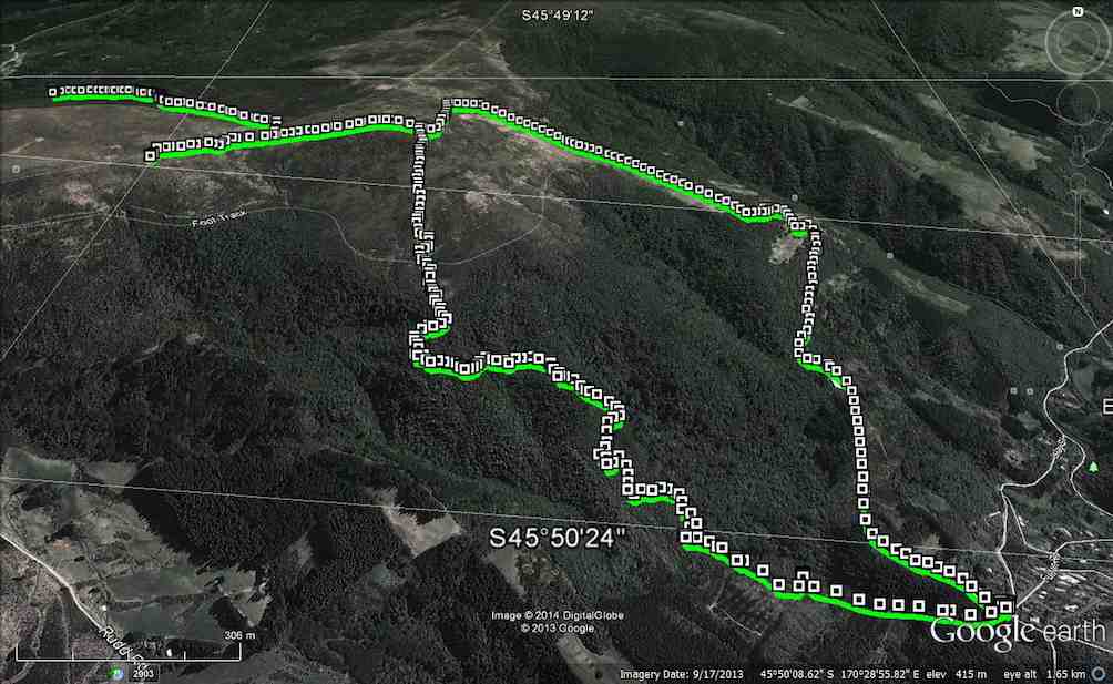
GPS
GPS of route courtesy Ken. We climbed via the shelter and the steep true left track of loop up to Shaw Road – and beyond – and descended via the loop’s longer gentler sloping true right side.
Cuppa at Lookout outcrop on steep track.
Another cuppa pic.
Another cuppa pic.
Lunch on Shaw Road
Lunch on Shaw Road
Stone seat
Stone seat at grassy part of track.

One hiker spoke for many when he thought the climb seemed much longer and steeper than when he had last done it (about a decade earlier!).

7. 20/10/2010. Hikers. Waipori Area. McLaren Rd, Wesleydale Rd, Farmland to Mill Creek. Poleline to Wesleydale Rd. Leaders: Bill and Lesley.

Following is a brief report on Wednesday 20/10/2010 Hikers tramp.
In all there were 12 people who enjoyed the day mainly because it was a new tramp, a lovely day, and no rain.
We parked the cars in McLaren road and ambled on up McLaren turning into Wesleydale Road, stopping for morning tea out of the cool breeze. Then continued on over farm land to Mill Creek. Found a lovely spot for lunch in the sun along the Waipori river bank.
After lunch we walked up the pole line to  Wesleydale Road and back to the cars. Approx 12 km all up.
The morning was cool until about 10am after which the sun shone from then on. – Lesley.

6. 17/9/2008. Hikers. Waipori Walk. Medium. Leaders: Bill H, Peter.

5. 21/9/2005. Both. Waipori area. Leaders: Arthur and Barbara, Bill H, Lance and Lois.

4. 26/5/2004 Both. Waipori Gorge. Climb from the DOC picnic area. Medium. Leaders: Bill H, Lesley, Irene, Les W, Ray, Mary M
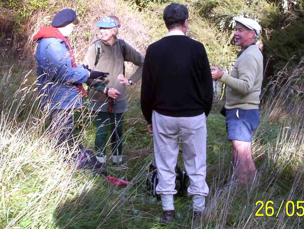
Pause on track. Nadia, Dorothy, Lex, Bob
3. 13/9/2000. Waipori Gorge area. Leaders: Bill H, Pat and Bill.
2. 10/9/1997. Waipori Gorge. Leaders: Lesley S, Bill H, Bev H.
1. 4/10/1995. Waipori Gorge. Medium. Leaders: Bill and Lesley, Graham and Doreen.
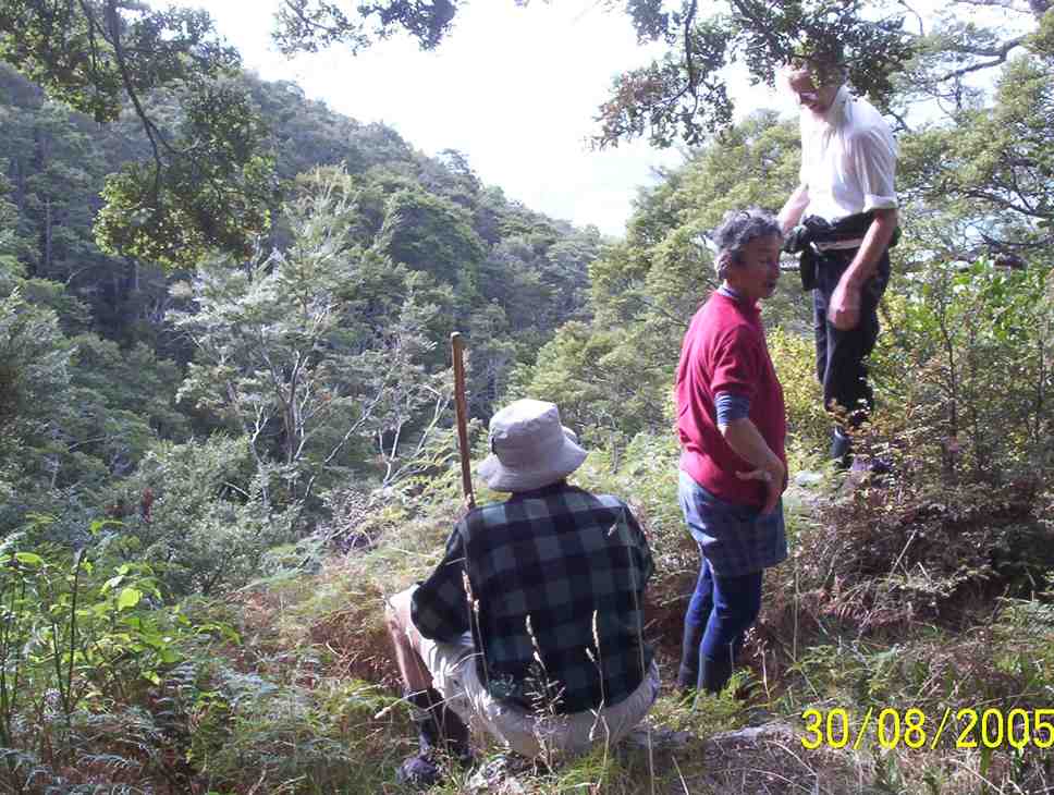
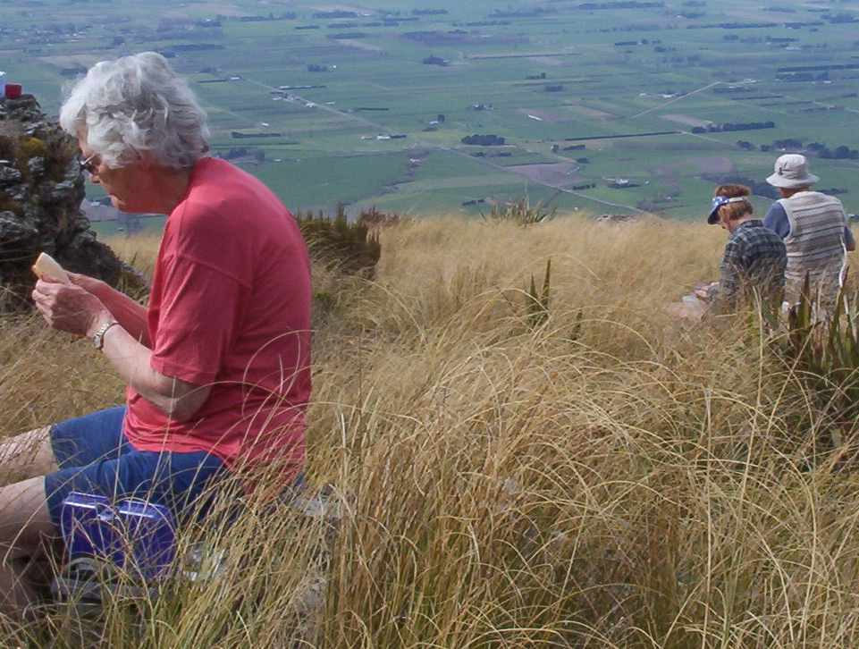
Grainger Road Tramps

Grainger Road Tramps to Maungatua summit and Woodside.
Steep, Long. Take plenty of water.
Cars park at Graingers Road.

8. 11/11/2015. Trampers. Grainger Road.
A change of plan due to the weather. 7 of us went to Grainger Road and parked at end of road by the pylon. Steep track up the side of the Maungatuas. Steep was what Hamel’s book said and was steep. Morning tea Ken left and went back down. Rest of us continued up as far as the markers were. No more track to be found so after much looking around the decision was made to go back down. Early lunch with the paddock’s two resident horses and a shower of rain sent us on our way home. Still a good workout. – Helen.
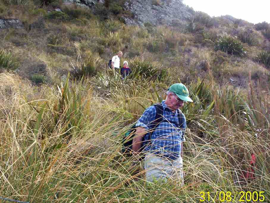
7. 31/8/2005. Trampers. Grainger Road to Maungatua Tussock slopes only. Spaniard grass thick. Leaders: George, Doug J.
We climbed in the bush, and came down in tussock and farm. – Ian

Lunch on Maungatua slop. Hazel, Dorothy, George
Break in Bush. George, Ria, Who?
Lunch
Lunch on Maungatua slop. Hazel, Dorothy, George
x
Descent round a large rock. Who? in rear rear. Doug M front.
6. 16/9/1998 Grainger Road, Woodside. Leaders: Bill H, Graham
5. 29/4/1998. Maungatua via Graingers Road, return – round trip. Leaders: Bill H, Graham, Ian.
4. 14/8/1996. Grainger Road to Woodside Glen. (Car Shuttle) Medium+. Leaders: Wendy, Bev H, Bill H.
3. 7/12/1994 Grainger Road, Maungatua, Woodside. Steep and long. You may go part way on this one and a leader will bring you back. Leaders: Nancy, Rob Q, Joyce S, Colleen
1/10/1994 Leaders: Joyce S, Nancy, Colleen
2. 11/5/1994. Grainger Road, Woodside, Maungatua. Med+. Long. Leaders: Nancy, Colleen, Rob Q, Joyce S
1. 11/3/1992 Leaders: Bob & Audrey, Denise, Doug M

Concord Blackhead

12 km from car park
No. 103 on old hardcopy list of 113 club tramps. “Concord – Blackhead – Brighton Rd Year Round”
Concord – Information and Trips Library


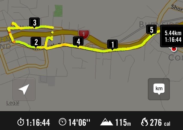
1. 1/7/2015. All. Midwinter Dinner. Concord Tavern. E. Leaders: Elaine and Eric.
GPS Route Map
GPS Route Map

Well! Records set. At least for the tramp. 40! Yes, 40. And 50 for the meal. Much due, this reporter suspects, to the way Elaine crafted the walk’s publicity. Easy? Well, not altogether with a bit of a climb into Abbotsford maybe a bit hard for some.

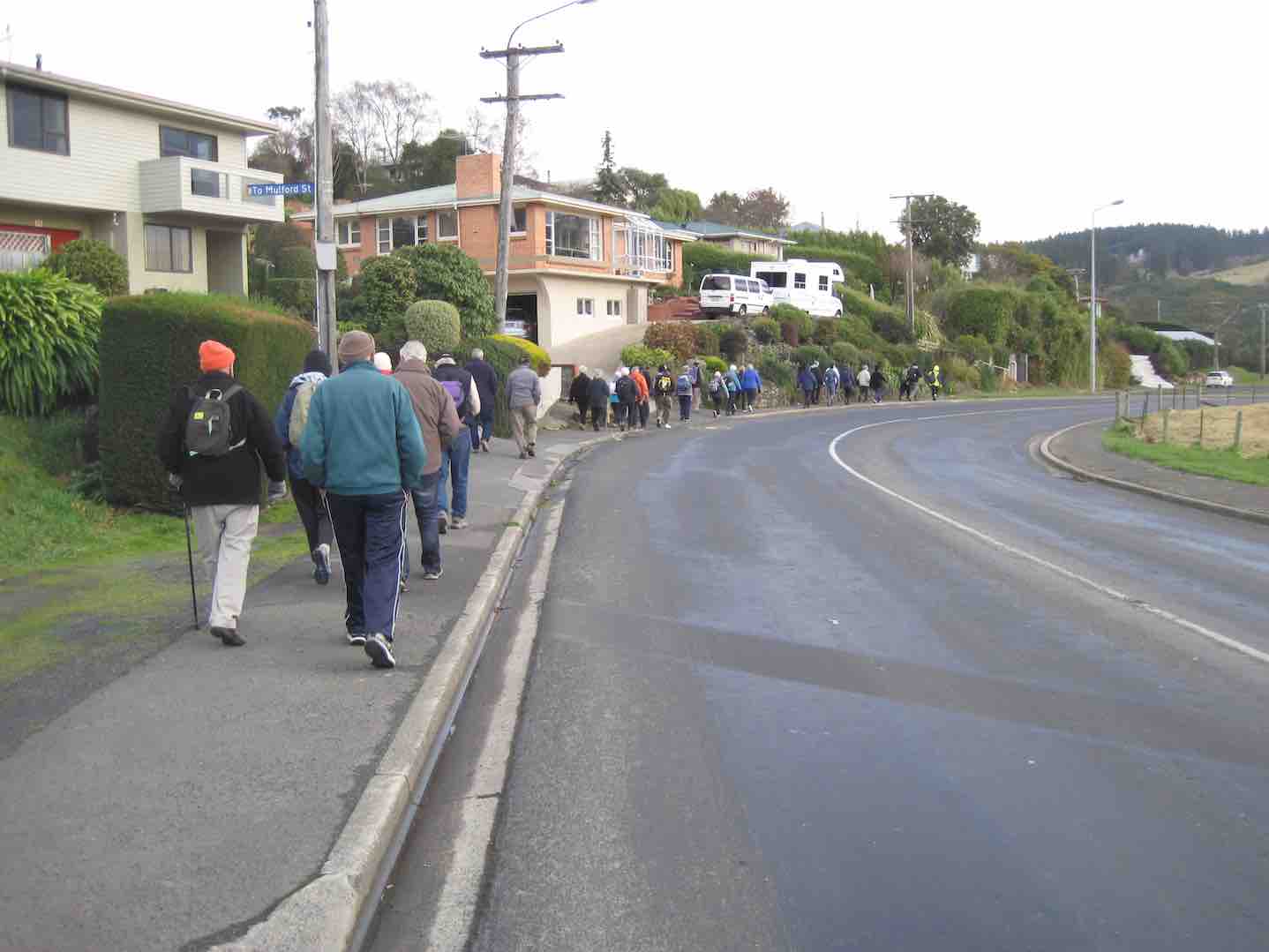
First problem was to number the carpark’s milling crowd off, but Fred got it right by standing at the corner by the road. Elaine set off at a brisk pace down …

Down from Inn (John pic)

… the “Main South Road” (surely it’s time to name it the Old Main South Road),  around the corner at the bottom and then level walking towards Green Island. Then a stop. Question time.

Q1 (John pic)
Q1 (John pic)

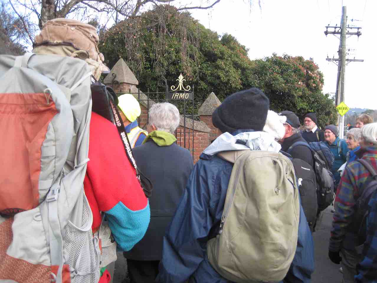
Date of motorway completion? Wow. Peter had the exact answer. 1974. Take a prize! Then on. Stop again, outside an imposing gateway. What do the initials IRMO stand for?

IRMO. (John pic)
IRMO. (John pic)

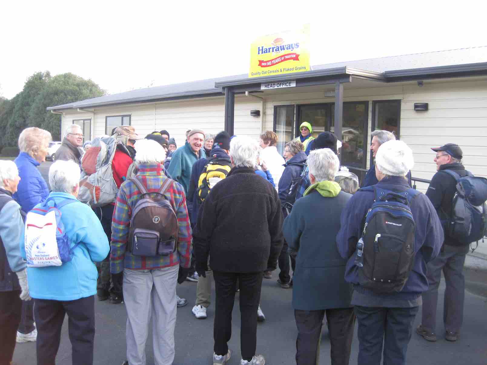
More knew the answer this time. A prize again. Onward. Stop – outside Harraways Office. Now a generous distribution …

Harraways (John pic)

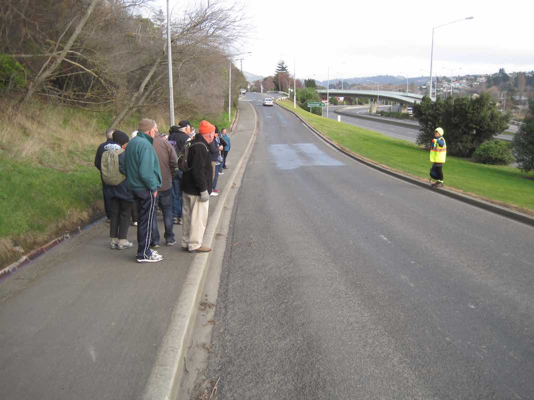
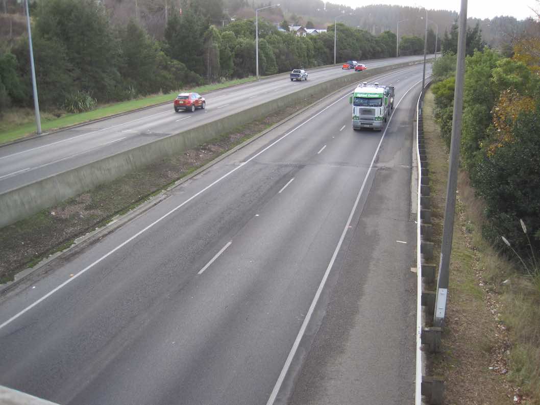
… of complimentary Oats Singles packets. Take more than one. Onward again. Across rise where most recalled the railway line that once crossed the road. To collect coal from Saddle Hill once, someone said. Last stop, at the curly beginning of the impressive overhead footbridge, spanning Kaikorai Stream, the motorway, …

Bridge (John pic)
Bridge (John pic)

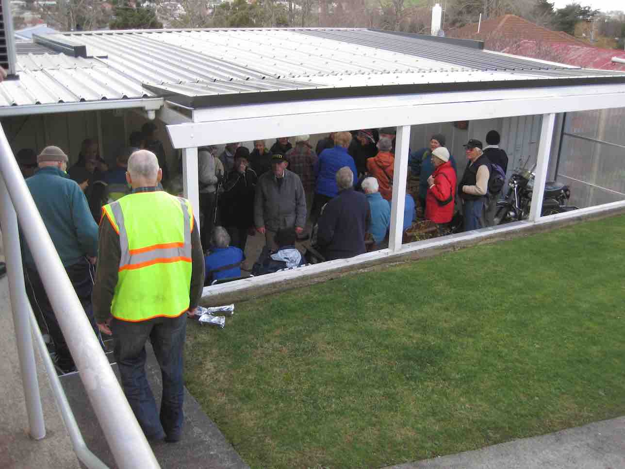
… bush, and finally the railway before turning right into Neill Street and left into Matthew Street, and second entrance on our left into a property with a wonderful back covered porch.

Porch (John pic)
Porch (John pic)

A further surprise. We were regaled with mulled wine or soup served in pottles with generous refills. (A recent email from Elaine says a further whole thermos of mulled wine got overlooked. – Damn, as she so feelingly put it.) Next, in through a door leading under the house to view …

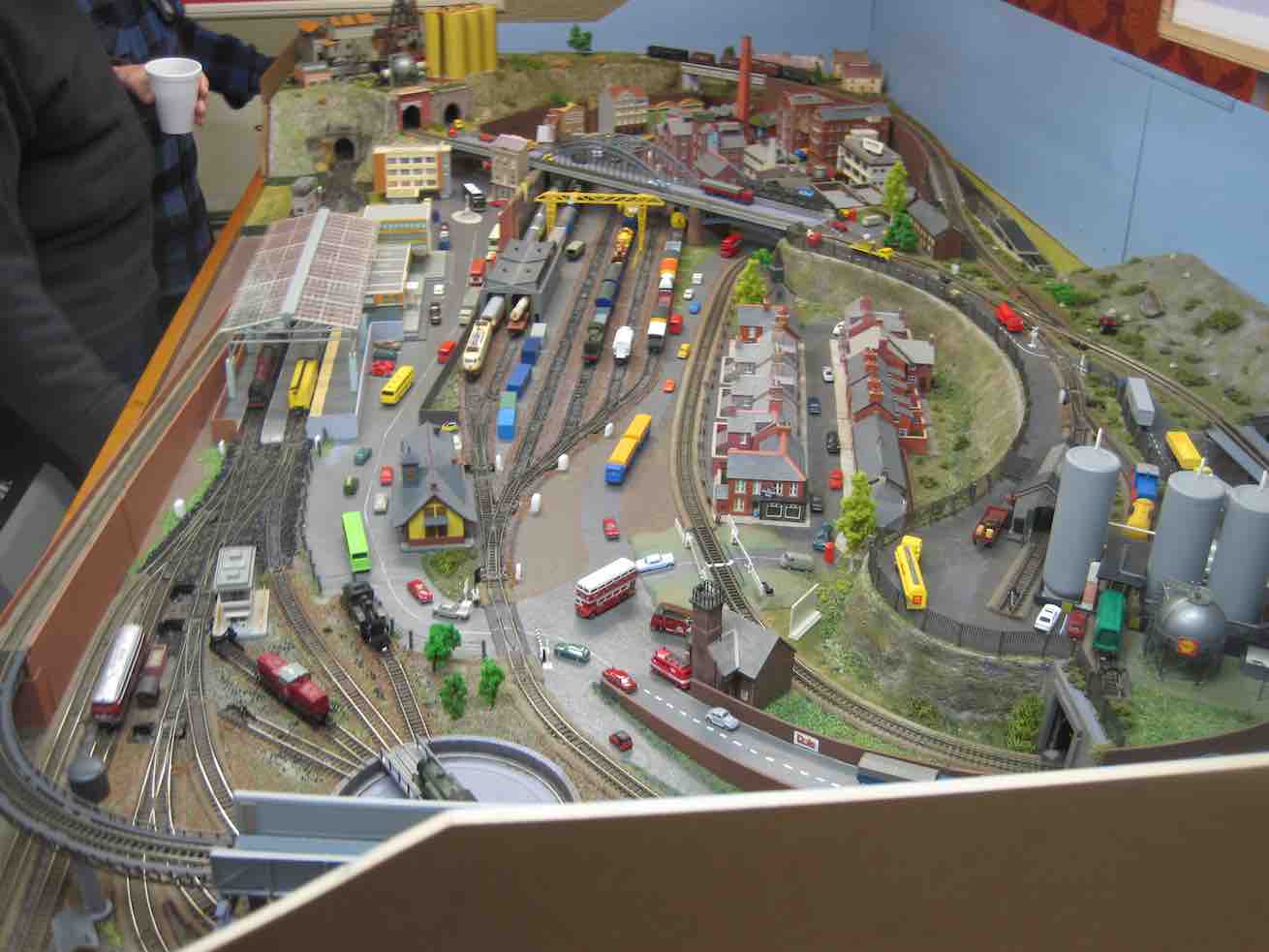
Train set. (John pic)

.. a model train set.( This reporter can testify it was even more elaborate than any he saw at the recent display put on at Wobblies.) It was N gauge (9mm). Unfortunately, the owner didn’t have it going, lest he exposed himself to an embarrassing derailment. Too bad. It was capable of running two trains at once. There’s a wealth of ancillary detail also, all to scale. A close study will prove most rewarding! To this reporter, this is the engineering equivalent of close needlework.

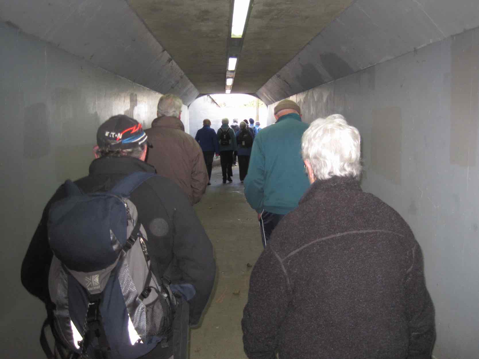
After this wonderful surprise break, it was back down Matthew Street and away along Neill Street to our left to reach a hidden pedestrian underpass at the foot of Armstrong Lane …

Underpass
Underpass

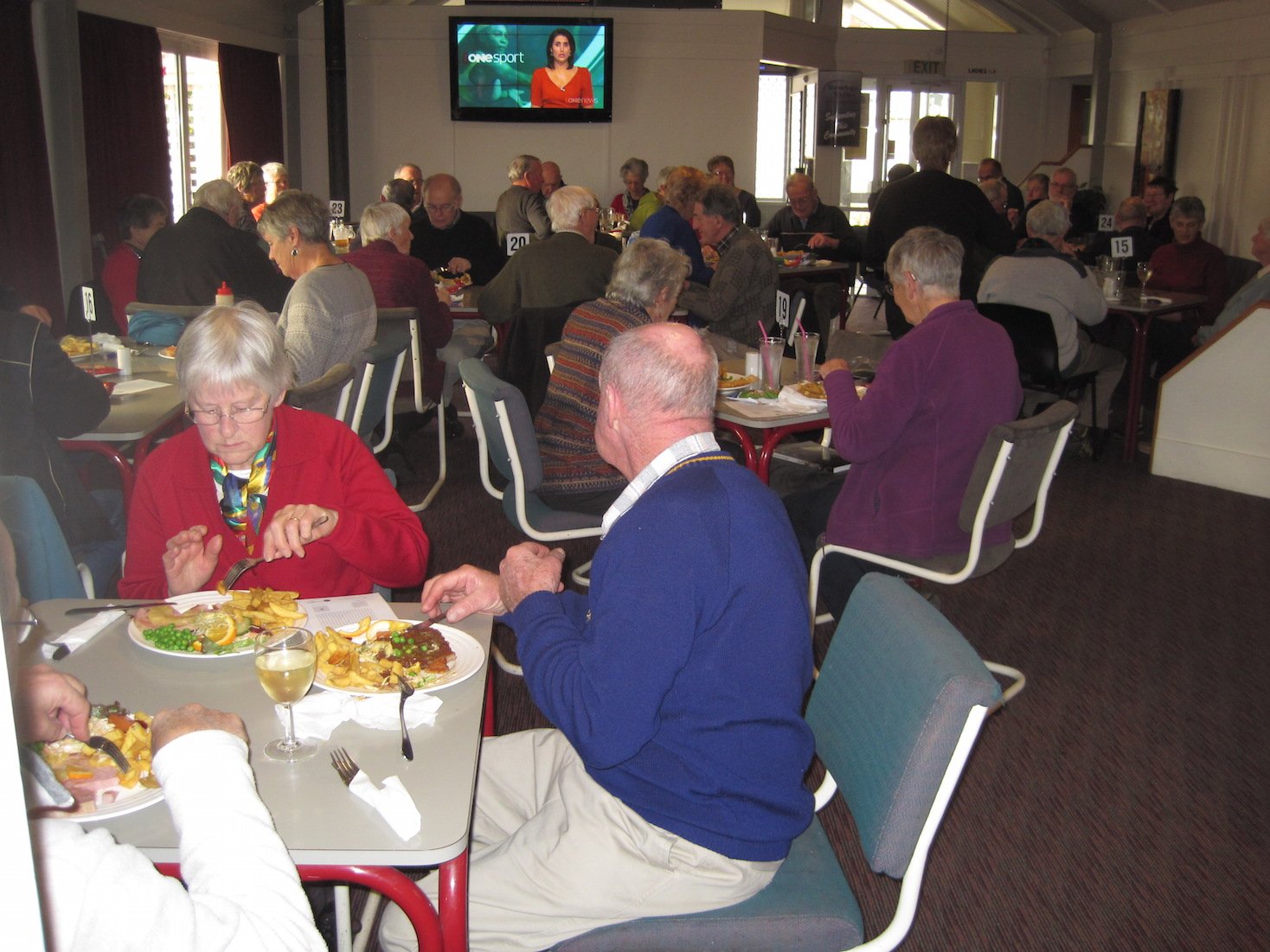
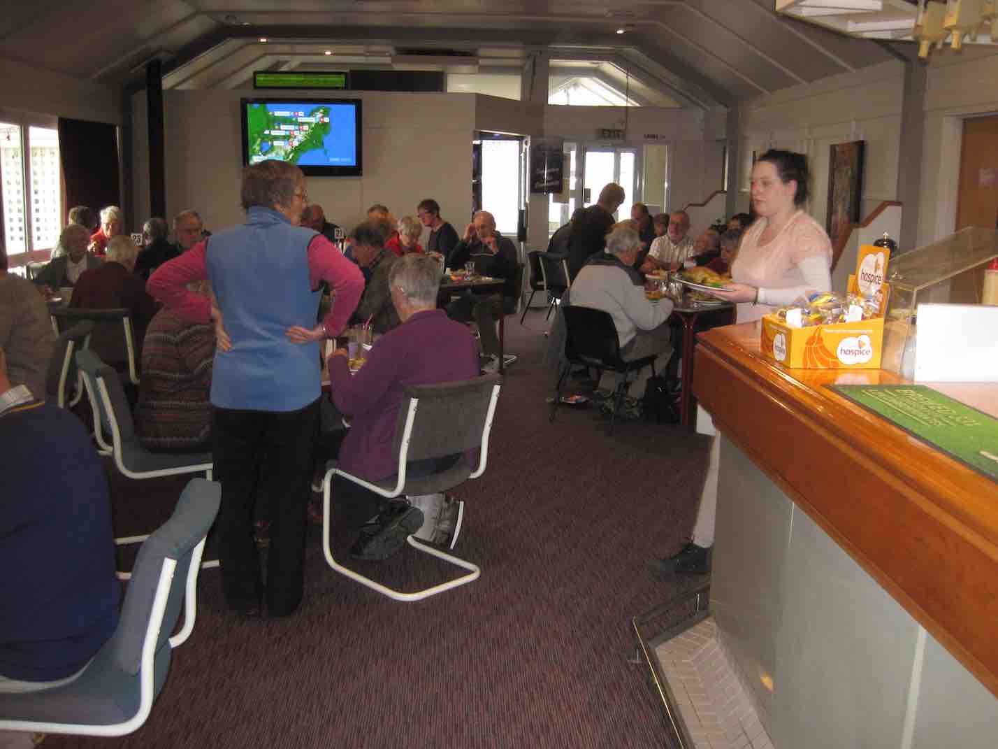
… and to emerge onto a little path that skirted round to  the foot of Harraway Road, across a Kaikorai Stream bridge, out onto the “Main South Road” and back to the Concord Tavern for the Dinner. Here we met with the non-walkers and filled an almost overcrowded dining room. Some of us neglected to pick our table first as we found we were supposed to (including this reporter) before we lined up at the servery to place our meal order, but waiters found us eventually and all was well.

Convivial Dining (1) (John pic)
Convivial Dining (2) (John pic)
Diners (3)
Convivial Dining (2)

Again, due to Elaine’s homework with her sponsors, there were little prezzies on the tables and under-the-seat tickets for rewards. What a girl she is!

So, thanks to Elaine and Eric for such an imaginative midwinter dinner function effort. Well done, to put it mildly. – Ian.

16/8/2000. Concord – Blackhead. Leaders: Les W, Diana and Ray.
26/5/1999 Concord from Tavern to Blackhead. Leaders: Jean, Ngaire, Bev McI.
19/5/1993 Concord Corner, Blackhead, Beach, Brighton Road, Allan Road, Green Island Bush Road. Round Trip. Leaders: Jack, Rosemary, Joyce I, Joyce S
23/9/1989 Concord Hills from Wine and Spirits carpark. Easy+ Leaders: George, Ria L, Pam, Ria H

Davies Track, Ben Rudd

Click Ben Rudd Article for background information.

5. 19/2/2014. Trampers. Pineapple, Ben Rudd, Davies.

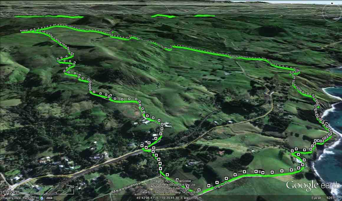
GPS of route., courtesy Ken.
GPS of route., courtesy Ken. (Anti-clockwise from Booth Road) 9.2 km; 3 km/hr; 3 hr 6 min moving time; 2 hrs stopped!!; Climbed 589 mtrs.
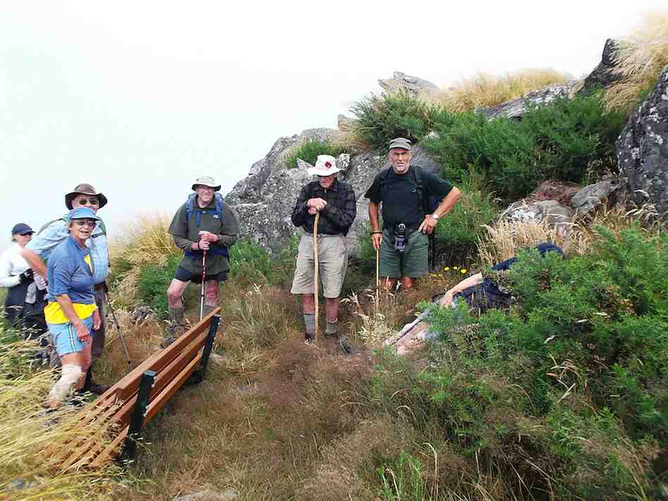
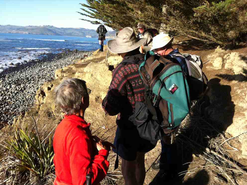
The group at the new seat. (Heb pic and caption)
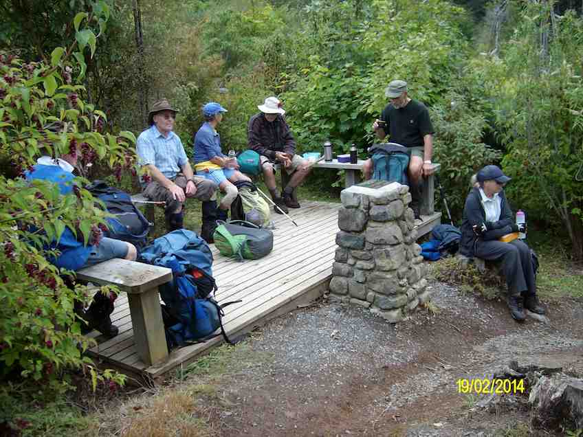
Afternoon tea
Afternoon tea break at the bottom of Davies track. (Ken pic and caption)
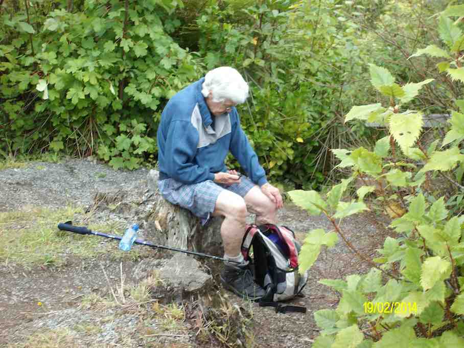
Hazel
Hazel in deep thought over her phone. (Ken pic and caption)

4. 23/3/2005. Both. Davies Track, Booth Road. Leaders: Annie G, Irene, Dot B, Bruce.

3. 10/11/1999. Warburnton Track from Booth Road – Ben Rudd. Leaders: Joyce, Nancy, Ria.

2. 8/11/1995. Warburton Track from Booth Road to Ben Rudd. Medium. Leaders: Doug and Ngaire, Chris, Joan H.

1. 5/7/1995. Warburton Track. Ben Rudd. Medium. Shorter trip available. leaders: Ria L, Doug & Ngaire, Denise.

Warrington, Omimi, Slaughterhouse

No. 98 on old hardcopy list of 113 club tramps. “Omimi Beach Warrington (Tide) Year Round”

Location: 40 km.

9. 26/5/2012. Trampers. Warrington, Omimi, Pryde Rd, Slaughterhouse, Reservoir Hill Rd circuit.

GPS of route, courtesy Ken
Morning Tea at usual place

Nicols Creek, Swampy Saddle, Davies Track

Click Dunedin’s Hills’ History for background information.
Click Swampy ridge track for background information.
Click Pineapple Track for background information.
Click Pineapple and Flagstaff walk for background information.
No. 17 on old hardcopy list of 113 club tramps. “Nicols Creek. D McCabe. Year Round”
 Year round.
Nicols Creek circuit Maintained by Green Hut Track Group.
3. 9/11/2011. Trampers. Booth Road, Davies (formerly Warburton), Swampy Saddle, Nicols Creek.
Nine of us met at Booth Road. We entered Davies Track via McGoun this time, exiting it on the left a short way up past the cairn. A light shower came on during the bush section, sounding quite pleasant as it struck the leaves overhead. Out in the tussock at the top, the weather was clear again. Ria and Hazel had discovered a new track had been made above the bush, this time striking to the left instead of the one to the left, the one that got several of us lost last time where overgrowth had rendered a crucial turn invisible.
We emerged on the Flagstaff walkway above a rock outcrop and headed down to the top of the Pineapple. Here Gay, a visitor, left us and we continued along Swampy Ridge to the top of the Nicols/Moonlight track. A little way in and we found the track has been ruined by mountain bike wheels cutting a narrow deep groove down the track middle, making keeping our footing on the restricted track-sides difficult and dangerous. Further down, we kept to the Moonlight side of Nicols Creek and traced, where we could, the original track, bisected however by the zigzags of the mountain bike route. Rain now really set in and we sheltered in nearby bush for lunch. We then continued down the old track, through the macrocarpas, the stone outcrop and yet further carefully down to emerge at the creek crossing below the waterfall – to Ian’s delight but Ria’s chagrin who had hoped to emerge onto the Leith Valley road on the north side instead of now forced across to the other side. So it was down and out and up Islay St back to the cars. All felt it had been another good day out. Too dull and showery for photo opportunities however. – Ian.

2. 14/11/2007. Trampers. Woodhaugh, Ross Creek, Davies, Pineapple, Ross Creek return. Moderate. Leaders: Ria, Hazel.

Stream crossing. Doug, George, Peter, Wendy

The route Ria and Hazel took ten of us on provided plenty of variety both in scenery and weather. We approached Davies track by way of Ross Creek Reservoir from Woodhaugh. After Ross Creek it was through cleared forest before climbing through secondary growth …

Tea break. Wendy, Keith, George, Doug, Peter, Glenice

… on the foothill slopes of Flagstaff before entering beautiful native forest and and hour later emerging on Flagstaff’s tussock and flax with overcast views of the harbour and Dunedin both north and south. We had encountered occasional showers to this point and now out on the tussock it was turning really cold. We were still not prepared upon reaching the upper Pineapple-Flagstaff track …

Made it onto Pineapple. Ria, Sabina, Glenice, George, Keith

… to be pelted by a fierce but fortunately brief hail storm. We quickly made our way down to the junction with the Swampy Ridge track where now the hail had now been …

Snow. Doug, George, Sabina, Keith, Glenice

… replaced with snow. So it was down, down the Pineapple to the sheltered edge of the bush where we lunched in the now fitful sunshine. Then the bush, Booth Road, back through Ross Creek tracks and down past the reservoir until the last scenic bush gave way to Woodhaugh St and back to the cars. An interesting day. – Ian

In Leith Valley, where Otago’s first industry – sawmilling – is reputed to have started about the 1860s, is the start of the old Pineapple Track.
Originally, it was named Ross Track, after Archibald Hilson Ross, who owned most of the land in the vicinity. In the early 1920s, Mr Oscar Balk, first president of the Otago Tramping Club, led parties of trampers up this route. At the top of a rather steep section, the parties would stop to rest and often refresh themselves with a tin of pineapple. This tin was sometimes left hanging on a tree or fence, and the track came to be called the Pineapple Track.
The line of the Pineapple Walkway has deviated from the original track in places to provide more scenic variation.
The original vegetation of the area has been modified as a result of early milling, burning and stock grazing, but remnants of the milled species (podocarps) still remain. Rimu, miro, totara and matai are found in isolated pockets, mainly in damp gullies. Even so, the overall distribution of plant species retains some semblance of natural order with the larger forest trees growing at lower altitudes. Podocarp broad-leaved forest type occurs with shrub species which grade out into Dracophyllum shrub land and ultimately tussock grassland communities on the summit area.
Some common plants: fuchsia, pepper tree, lemonwood, broadleaf, totara, five’finger, wineberry, lancewood, Muehlenbeckia, Dracophyllum, Coprosma, Hebe, and wild spaniard tussock.
There are many varieties of birds in the bush areas where there is an ample food supply to sustain many nectar-, berry-, and insect-eating native birds.
Some of these are: New Zealand pigeon, bellbird, fantail, tomtit, brown creeper, tui, silvereye, rifleman and pipit.


1. 17/10/2001. Trampers. Nicols Creek – Swampy Saddle – Warburton Track. Leaders: Lex, Mary L, Irene.

Suddaby Farm.

Contacts: Seek permissions.
17/2/2010. Suddaby Farm, from Wallace Ford Road. (At the end of Mount Gowrie Road). Leaders: Ria, Hazel.

Well, although the tramp was called ‘Deep Stream Pipeline from George King Memorial Drive’, we never went near the George King Drive at all, except to pass by both ends of it on the way to our destination.

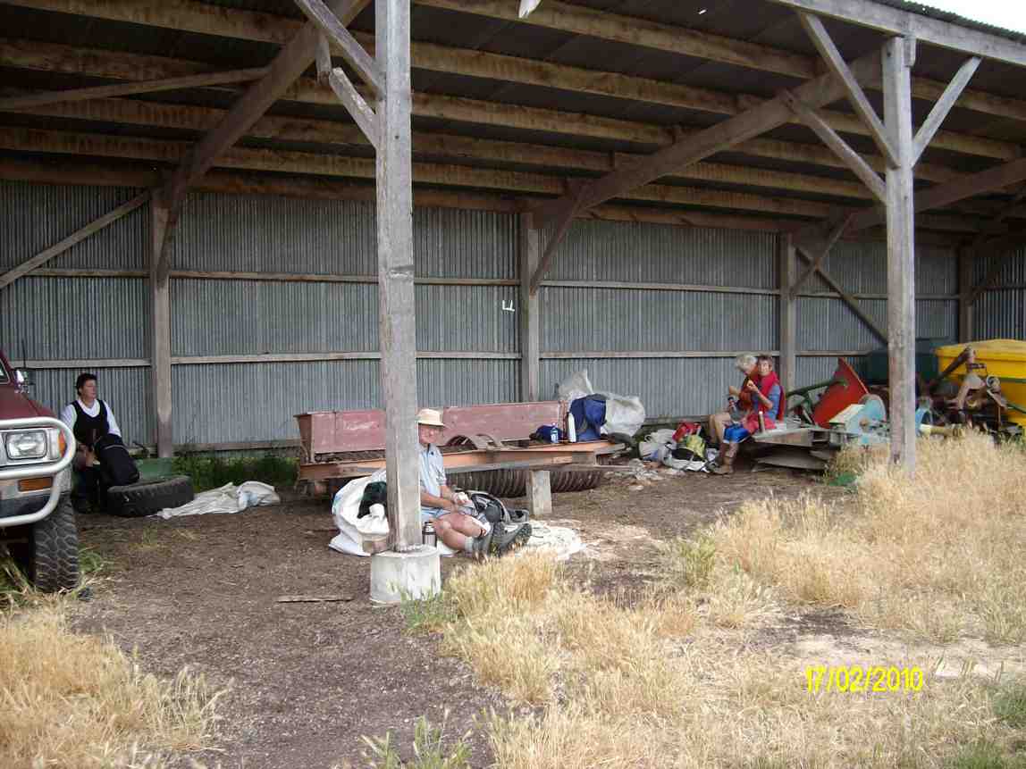
We [all 5 of us] parked the car on Wallace Ford Rd. outside Carters farmhouse, & made our way across some very dry & parched land to Withers farm, after having morning tea in a large farm shed.

Morning tea. Angela, Doug, Hazel, Ria. (Ken pic).

Beach Walk, Blackhead, Kaikorai Estuary, Ocean View, Brighton Tramps

6. 29/5/2009 Hikers. Waldronville, Blackhead. Easy. Leaders: Bob M, Peter.
Cars parked at Kaikorai Estuary by gun club. Beach walk to Blackhead. Beach back. Golf Course. Waldronville, return.

5. 14/1/2009 Ocean View, Kaikorai Estuary, Big Rock. Leaders: George, Ria.

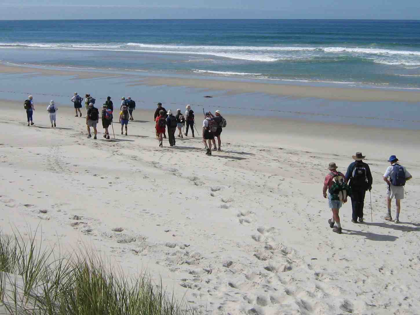
First tramp for 2009 was a combined one and 17 members, keen to get out tramping/hiking again after Christmas/NewYear break, met at Ocean Beach Church for what proved to be a very pleasant, easy beach walk. Day was warm and sunny, with no wind. We wandered along to Ocean Beach to the Estuary, stopping for morning tea on the way. An added bonus was seeing several horses, either being ridden or with sulkies, training along the edge of the water. They certainly make a great sight.
Horses being exercised on Ocean View beach
It was then back along beach nearly to the Big Rock and off the beach into a very pleasant picnic area for our lunch. Because this was very close to where the cars were parked it was an early finish to our day. However, we had a happy day out and it was good catching up with our tramping friends again. Bev. H

4. 6/12/2006. Both. Kaikorai Estuary. Beach Walk. (Low Tide: 11.21am) Leaders: Hazel, Dot B, Bob & Nadia, Chris

Onto beach. Selection: Dot .. Bob, Peter, Doug M, Les W, Lex
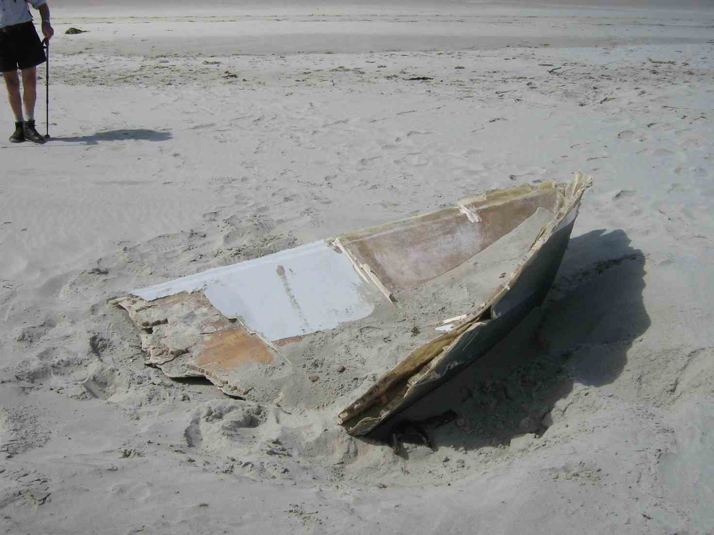
Marine Ply boat broken remains

3. 4/10/2006. Both. Kaikorai Estuary beach walk. Easy. Leaders: Hazel, Dot B, Bob & Nadia


2. 4/8/2004. Both. Brighton, Blackhead, Beach Walk. Medium. Leaders: Hazel, Dot B, Jean, Chris.


1. 12/5/2004 Leaders:

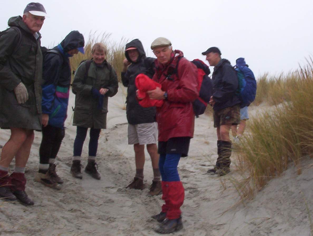
Ocean View Beach. Bob, Who?, Pat, Bill, Tom, Arthur
It was an cold Autumn day but we were dressed for the beach walk. However when we reached Brighton Beach the persistent rain drove us into the only shelter available – the beach changing rooms, in which unsalubrious but dry surroundings we ate our lunch. – Ian
Arthur sheltering from weather

Sawmill Road, Gortons Farm, Finlayson Road, Kennedys, John Bull Gully Track, Taieri Mouth

No. 77 on old hardcopy list of 113 club tramps. “Sawmill – Taieri Mouth Rd Return John Bull (fish) Year Round”
Location: 33 km
18/2/2009. Trampers. Sawmill Road, Gortons Farm, Finlayson Road, Kennedys, John Bull Track, Taieri Mouth. Medium+. Leaders: Keith, Glenice
Park at Knarston Park.

(Click to enlarge)
Sawmill Rd, Jn Bull Route Map

This time we left the cars at Knarston Park and walked around Moturata Road to turn up Sawmill Road and through Gortons Farm, in one of whose buildings, still there, Lex and Ian recalled attending their church’s Easter Weekend retreats in the 1940s!

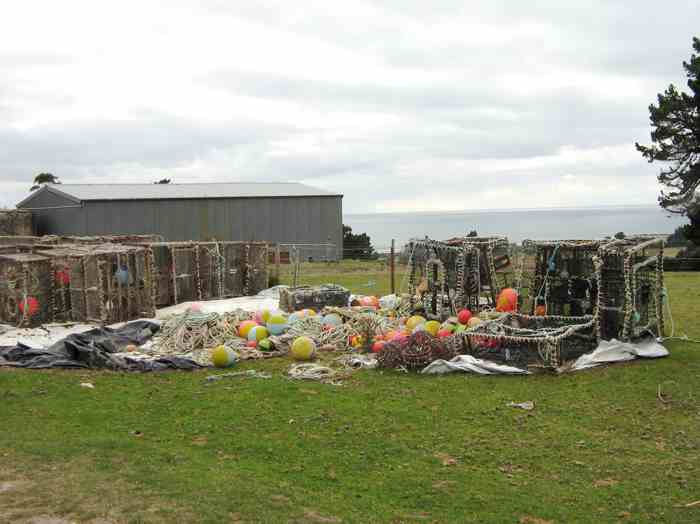
Crayfish Pots
Crayfish Pots

Continue reading “Sawmill Road, Gortons Farm, Finlayson Road, Kennedys, John Bull Gully Track, Taieri Mouth”

Taieri Scenic Reserve.

No. 44 on old hardcopy list of 113 club tramps. “Taieri Reserve – Pukerua Bush. J Hobbs, D Jenkins. Farm. OK”

9/4/2008. Trampers. Taieri Scenic Reserve. Easy. Leaders: George, Glenice.
View up the Taieri
View up the Taieri. Tash, Peter

12 trampers met at Otokia Road, 4 km from Taieri Mouth having just enjoyed a scenic coastal drive that would rate as one of the world’s’ finest. A turn up into the road that leads to the Maori Reserve, and we were ready to begin. Some sharp road climbs started the “Easy” rated tramp (which several felt deserved the rating of at least “M”) before morning tea at a deserted building, with views in all directions – South to Taieri Beach, North over the Taieri River  Continue reading “Taieri Scenic Reserve.”

Poplar Hut, Mt John, Mount Allan. Extension to Pulpit Rock.

No. 9 on old hardcopy list of 113 club tramps. “Poplar Hut. Mt John. N Strang. Year Round.”

No. 52 on old hardcopy list of 113 club tramps. “Mt Allen, Wenita Year Round”

No. 71 on old hardcopy list of 113 club tramps. “Mt John. (Cowie & Wenita) Year Round”

Location: 17 km.
Closed lambing Oct-Nov.
Contacts:
– Wenita permit. Require 6 weeks notice, but less from us.
– Silver Peaks Station, Seek permission
14 km round trip.
Longer option: 24 km via Pulpit Rock. 5-8 hours. Climbing all the way.
Take lots of water. Cross Big Stream. Up steep vehicle track. About 50 minutes.
Turn right at T junction. After one minute, you see track on left coming up from Poplar Hut.
Descend down 10 minutes.
From Poplar Hut, climb vehicle track 1-1.5 hours to top. Gate marked PRIVATE.
Cross over gate, follow fence to next gate. Keep fence on left.
Follow vehicle track down and round hill to next gate before climbing up to Mt Allan.
Good vehicle track all the way.
Keep forest on right till you rejoin Pulpit Rock track.
Turn right down Long Ridge to Big Stream.
17/10/2007. Trampers. Mount Allan, Mount John. Medium. Leaders: George, Abe.
11/5/2005. Both. Poplar Hut with option do Mount Allan and Mount John. Leaders: Peter and Wendy, Eleanor W, Lesley S, Anne R.
Silver Peaks from Mount Allan

Continue reading “Poplar Hut, Mt John, Mount Allan. Extension to Pulpit Rock.”

Booth Rd, Nicols Creek, McQuilkan, Jim Freeman, Pineapple. Either direction

Nicols Creek circuit Maintained by Green Hut Track Group. DCC land.
Click Pineapple Track for background information.
Click Pineapple and Flagstaff walk for background information.

Leaders:
22/8/2007 Nicols Creek, Moon Track, McQuilkan Track, Possum Busters, Possum Hunters Jim Freeman track, Pineapple track. Leaders: Lex, Sabina

9/3/2005. Trampers. McQuilkans, James Freeman Tracks. Leaders:Ian, Lex

24/9/2003. Trampers. Nicols Creek, Moon Track, McQuilkan, Jim Freeman, Pineapple. Medium. Leaders: Bob H, Ian.

20/11/2002 Ria L
13/2/2002 Betty B, Denise
17/3/1989 Barbara M, Irene, Sabina


No responses yet

Big Stream, Mount Allan, Pulpit Rock, Long Ridge

No. 91 on old hardcopy list of 113 club tramps. “Big Stream – Pulpit Rock Return (M Vaughan) Year Round”

Location: 17 km
18/1/2006. Trampers. Big Stream, Mount Allan, Pulpit Rock, Long Ridge. Leaders: Doug M, Ian.
14/11/2001. Big Stream – Mount Allan – Pulpit Rock – Long Ridge. Hard. Leaders: Claude, Hazel, Doug M.
15/11/2000 Big Stream: Mt Allen Pulpit Rock, return Long Ridge, zigzag, Big Stream. Leaders: Wendy B, Elaine D
29/1/1997. Mount Allan – Pulpit Rock and return Long Ridge. Medium+ and a long day. Leaders: Jack R, Ian, Claud.

Chalkies Loop, Dodds Gully

8. [chat] with the owner of one of the houses up the Chalkies track road. He tells us that the grumpy one has now gone, & the new owners are quite ok with groups like ours going down [or up] the track through their properties, then down [or up] their driveway. I think permission should still be sought first though, especially for the first time at least. – Ken, date 10/9/2014.
Loop blocked by owner of one of two houses in Dodds Gully. (4/5/2005)


7. 4/5/2005. Hikers. Chalkies area. Leaders: Colleen, Betty B, Nancy
6. 17/9/2003. Trampers. Chalkies. Medium. Leaders: Wendy, Molly.
5. 1/9/1999. Chalkies Loop Track. Leaders: Claude, Myrie, Ian
4. 11/11/1998. Chalkies – round trip. Leaders: Doug J, Irene, Molly
3. 27/8/1997. Chalkies Track. Leaders: Jack R, Claude, Irene.
2. 13/12/1995. Chalkies. Park cars at Judy C’s – bring a plate – lunch on lawn at Judy’s.
1. 26/7/1995. Chalkies. Medium. Leaders: Ted, Les W, Rob C, Eleanor B