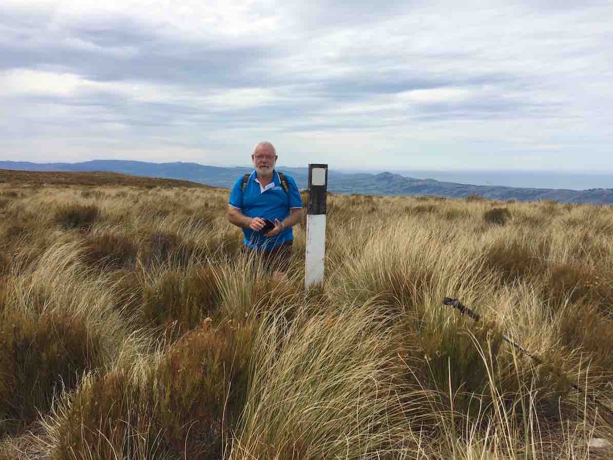
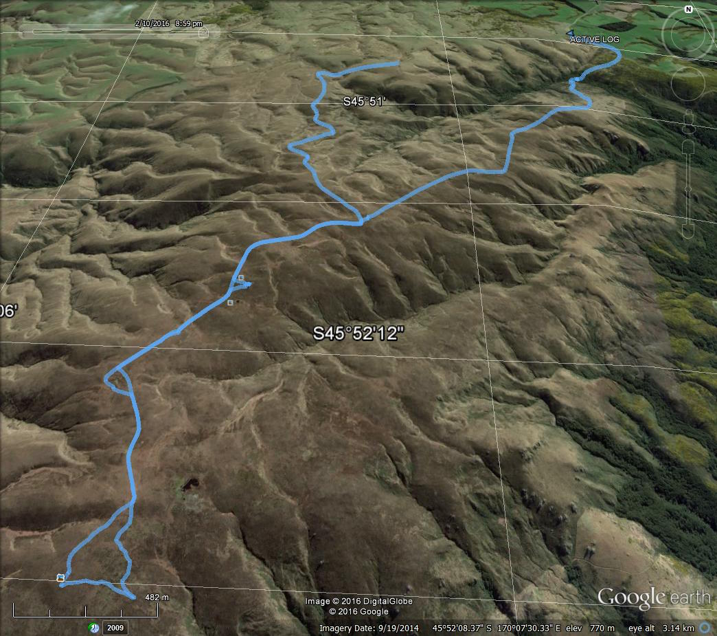
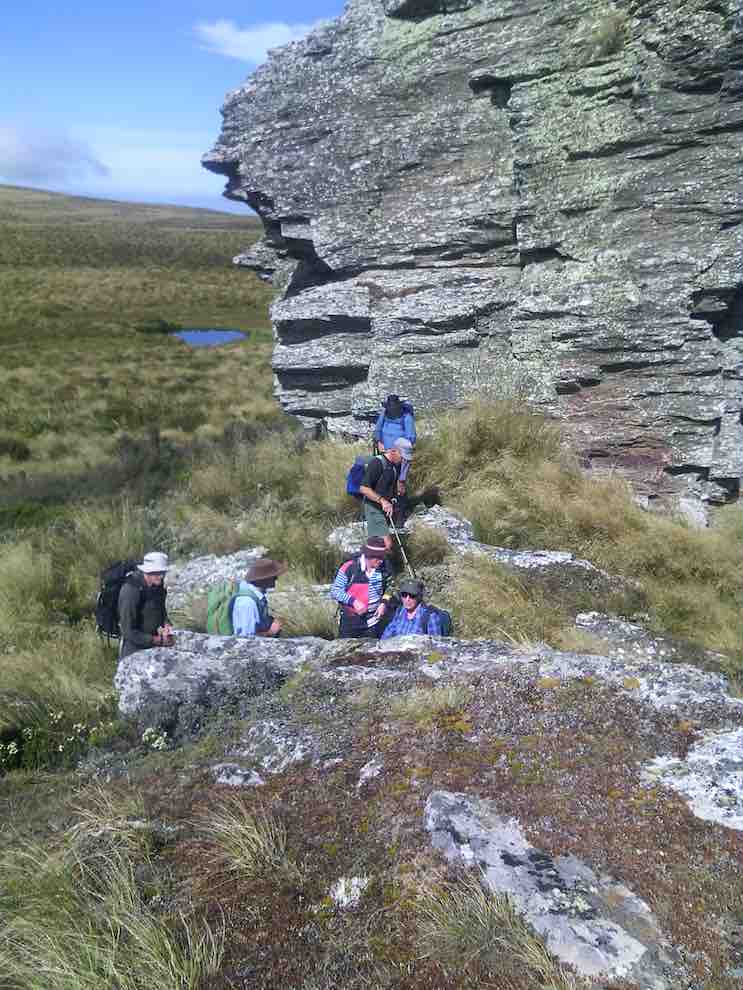
7. 25/3/2020. Trampers. Jubilee Hut from Silver Peaks Station.
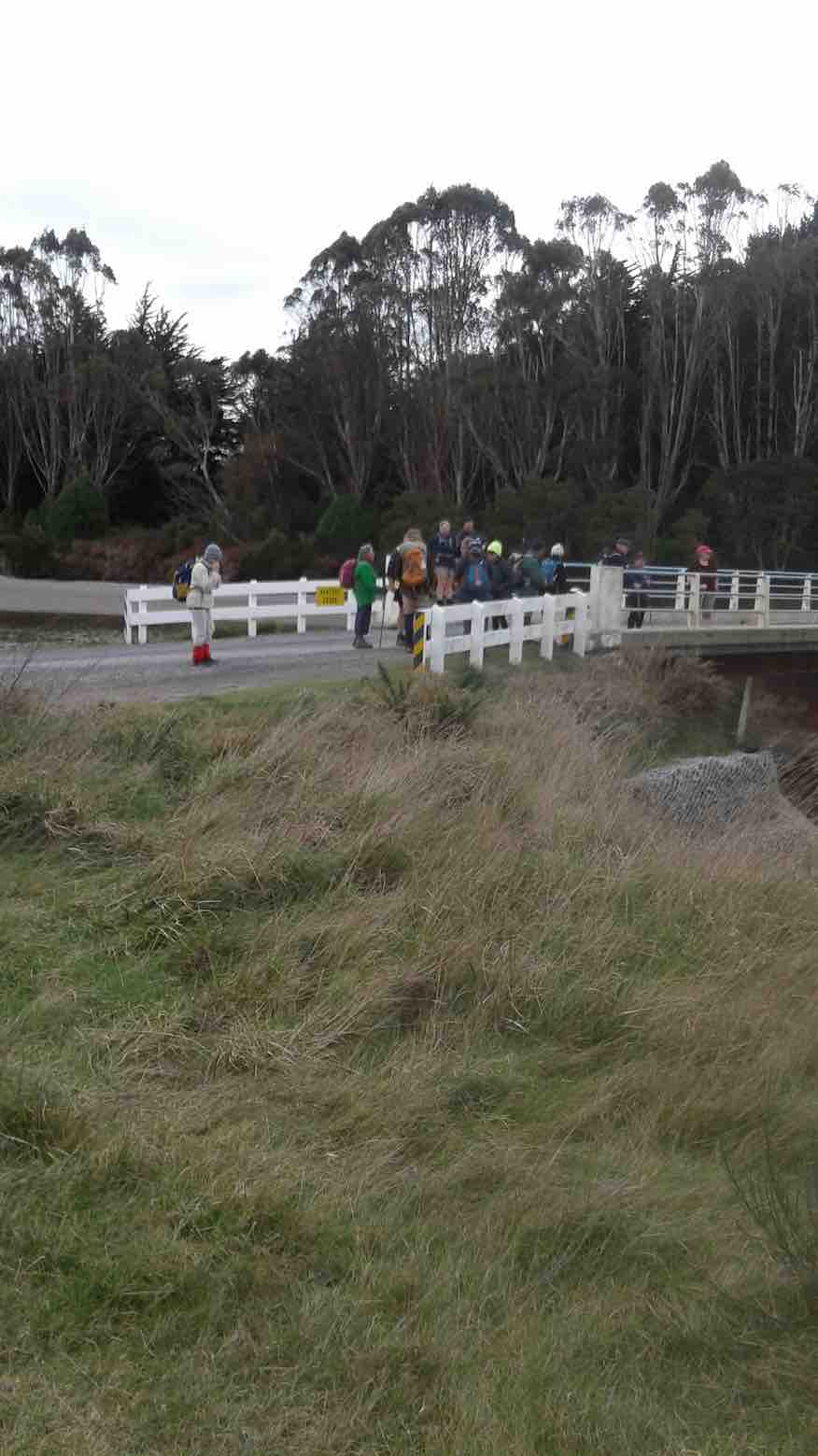
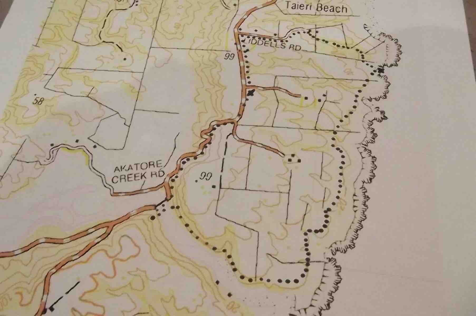
A large group left carpark at 8:30 am to drive an hour up George King Memorial Drive, onto Hindon Road—-drove through early fog, and down past Ardachy (where we were spotted half a dozen peacocks), over the Taieri river rail/road bridge, then up past Lamb Hill on Silverpeak road to end of road at Silverpeak Station. Mike and Ginny Cowie own the large 2,500 hectare Station, home to 7,000 stock units (sheep and Beef cattle).
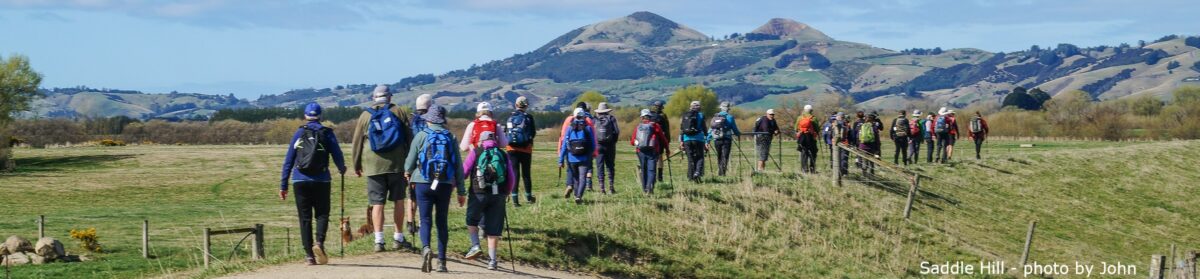
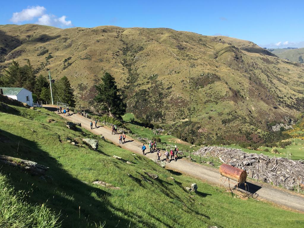
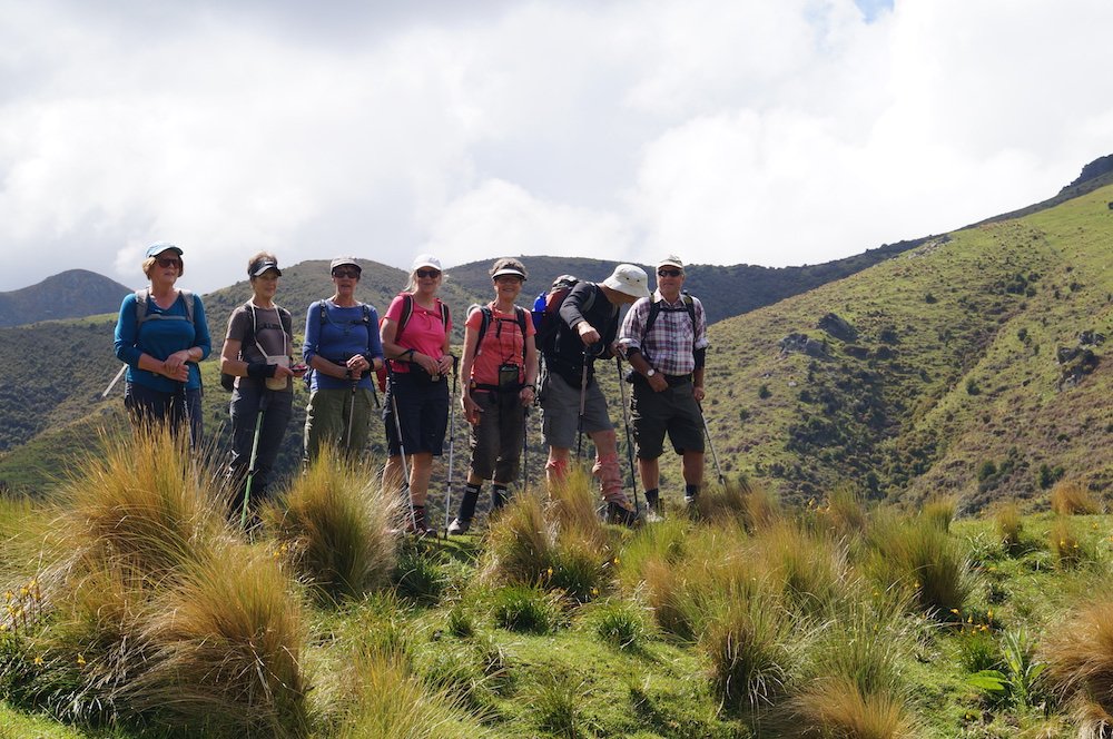
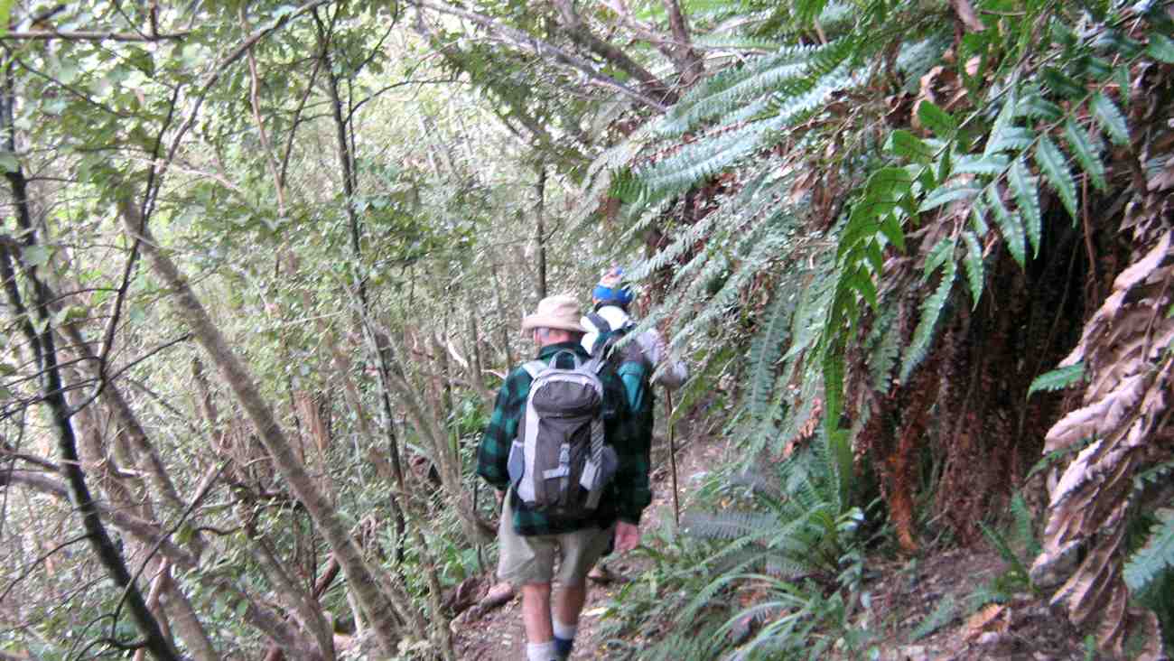
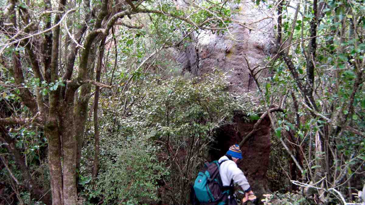
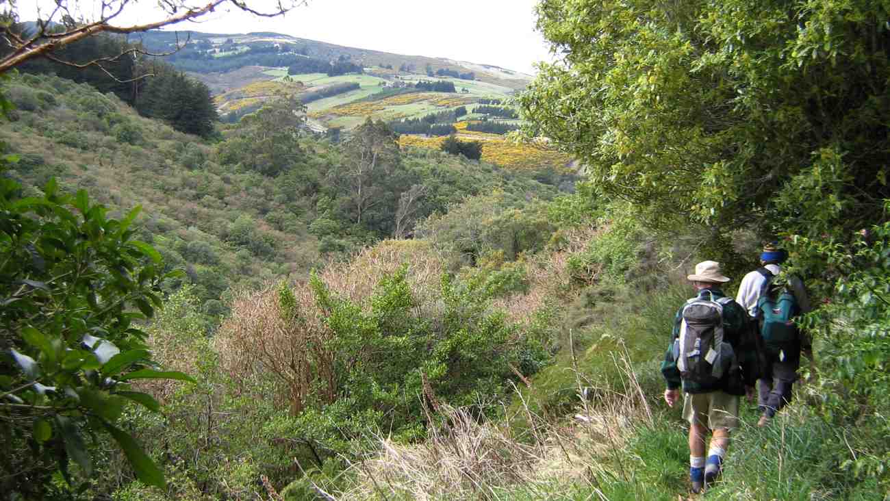
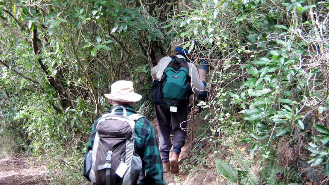
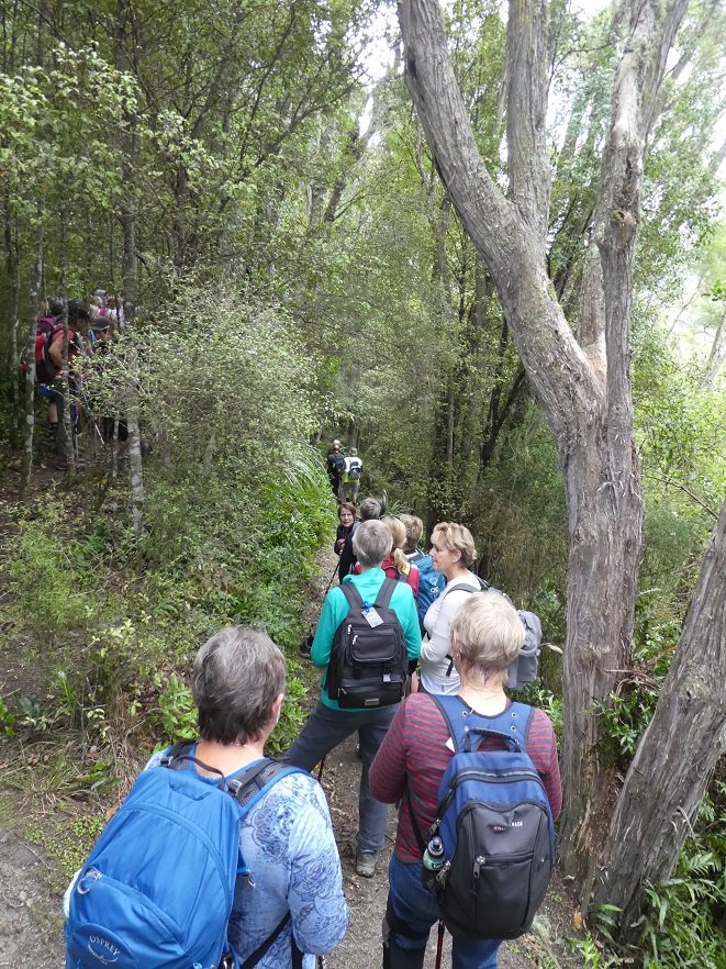
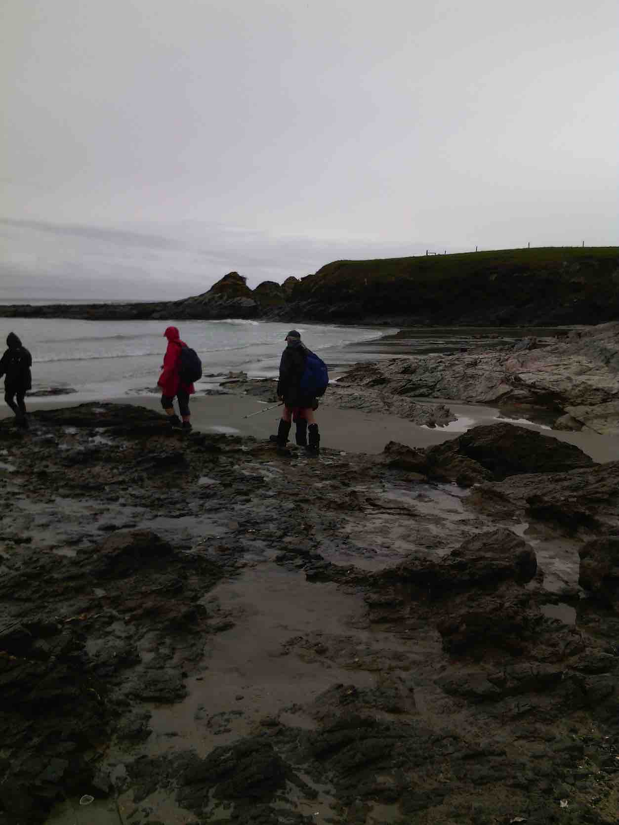
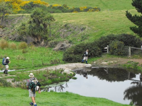
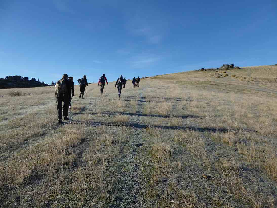
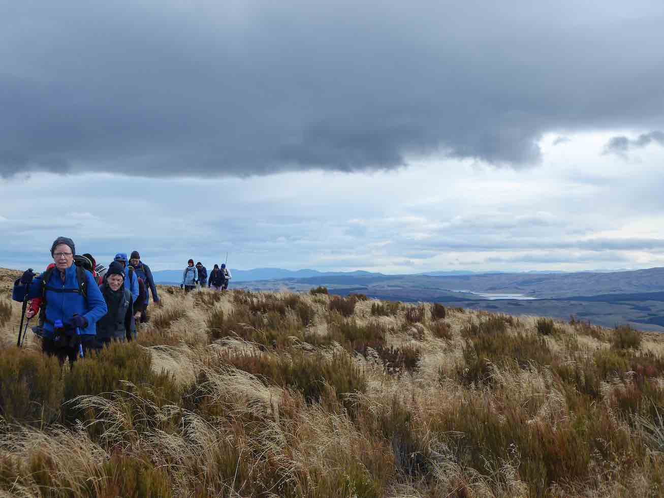
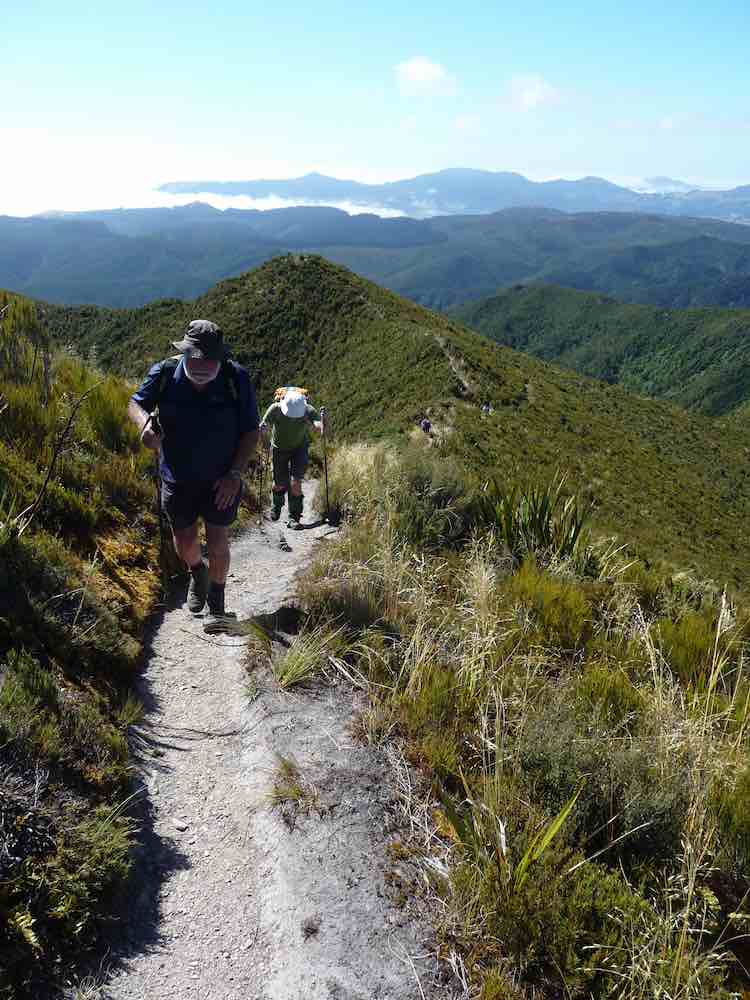
23 eager trampers(including Gordon’s daughter) headed off on a very calm, sunny morning at 9:30am
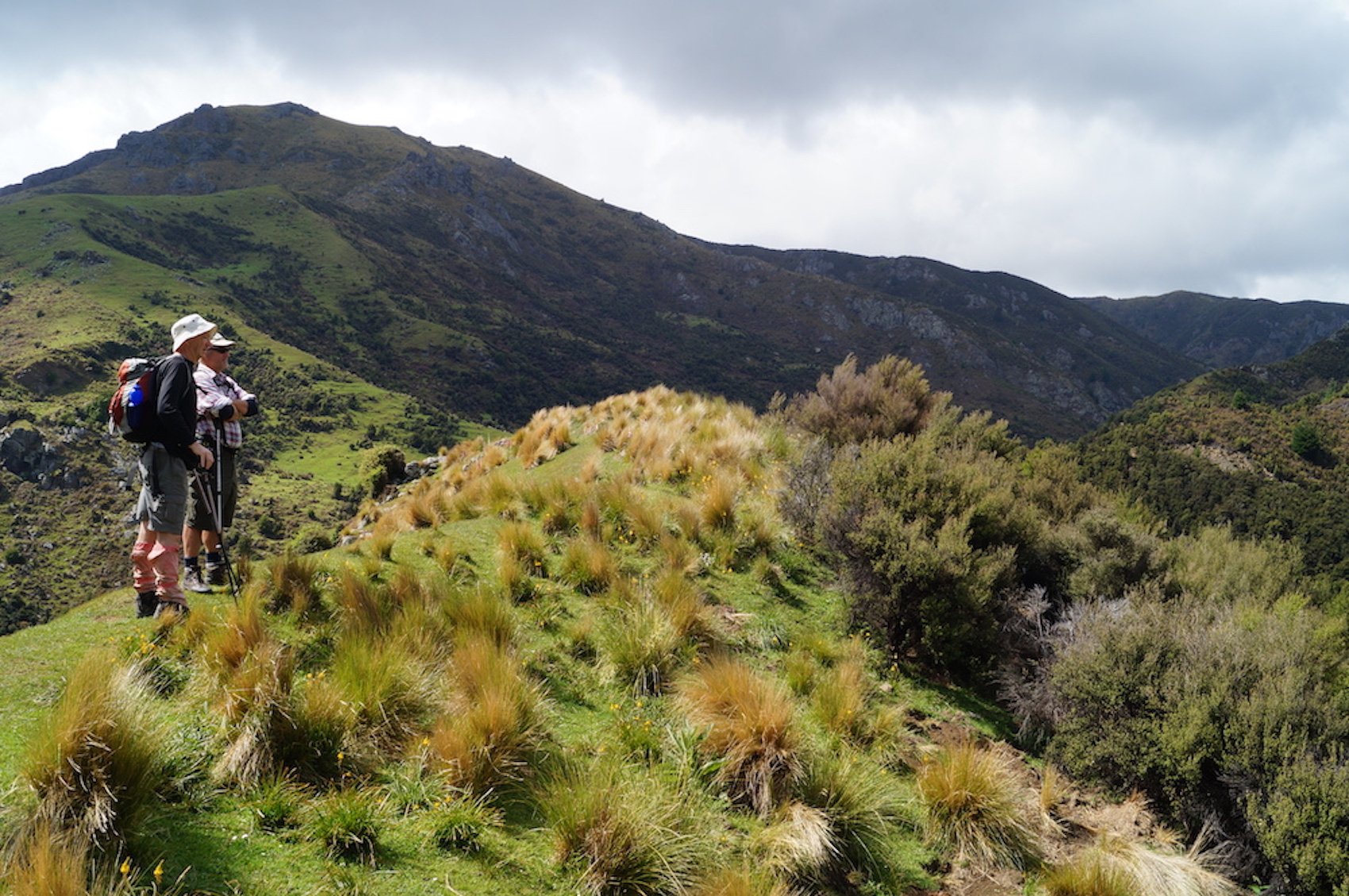
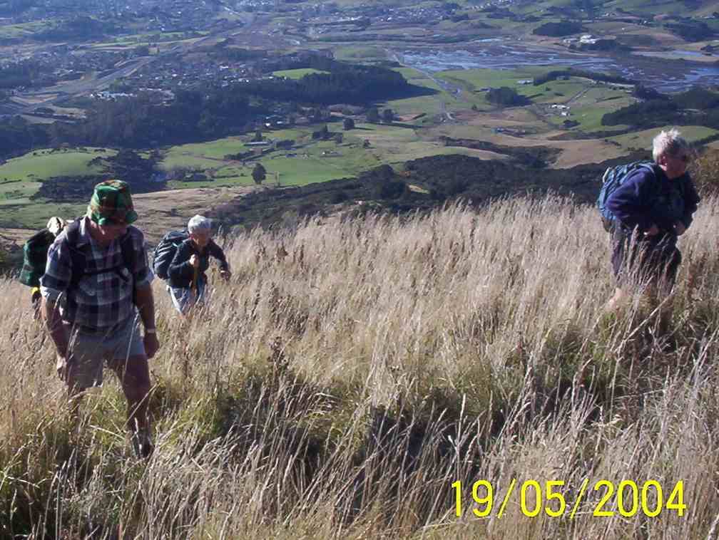
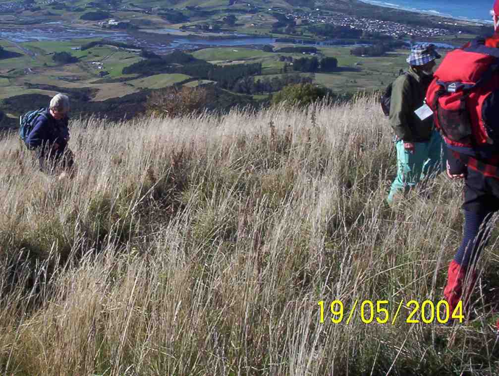
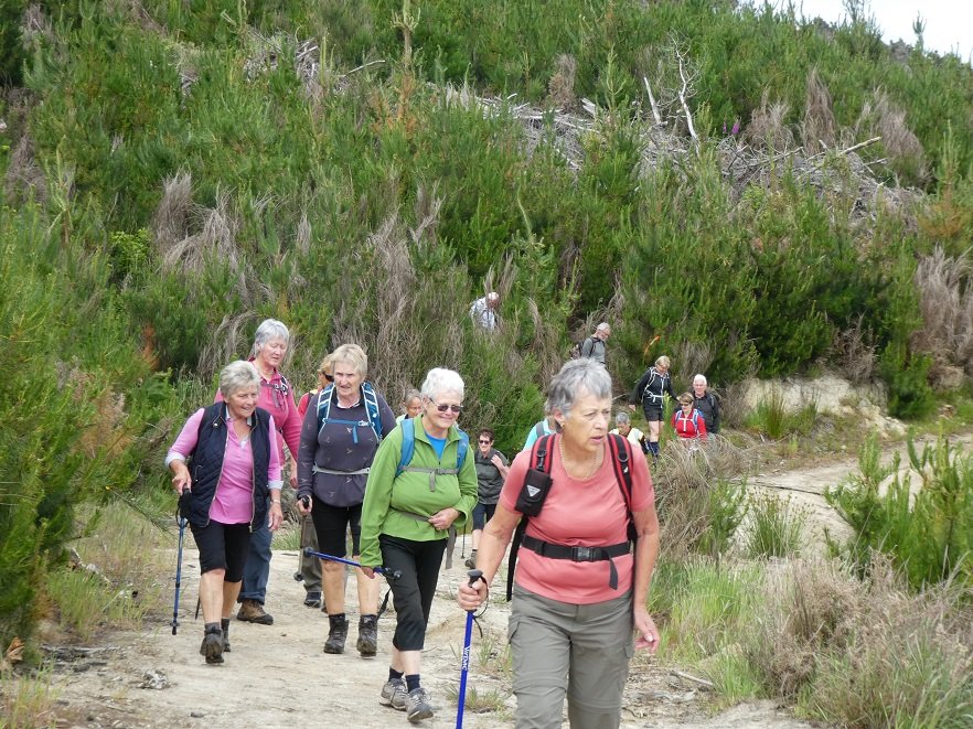
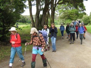
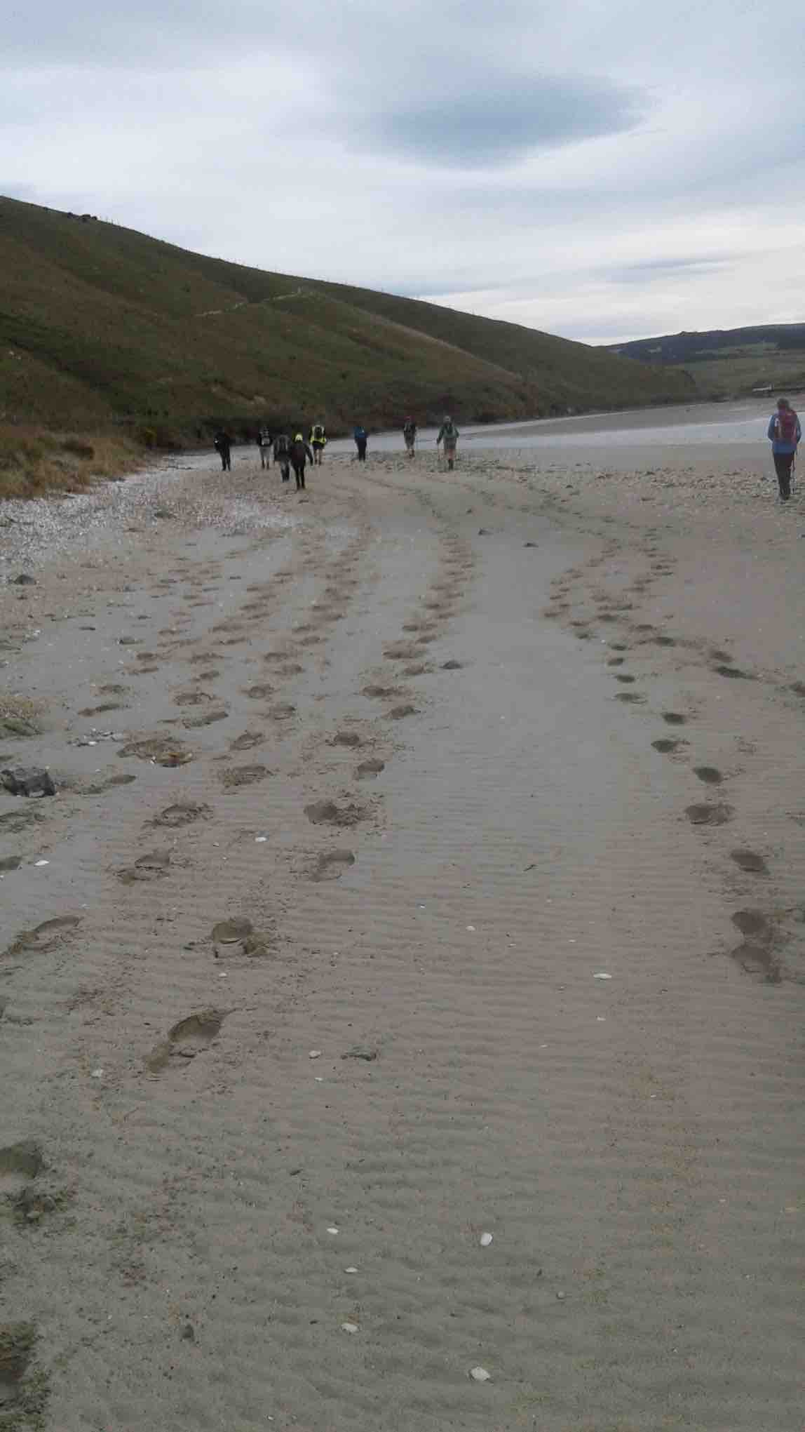
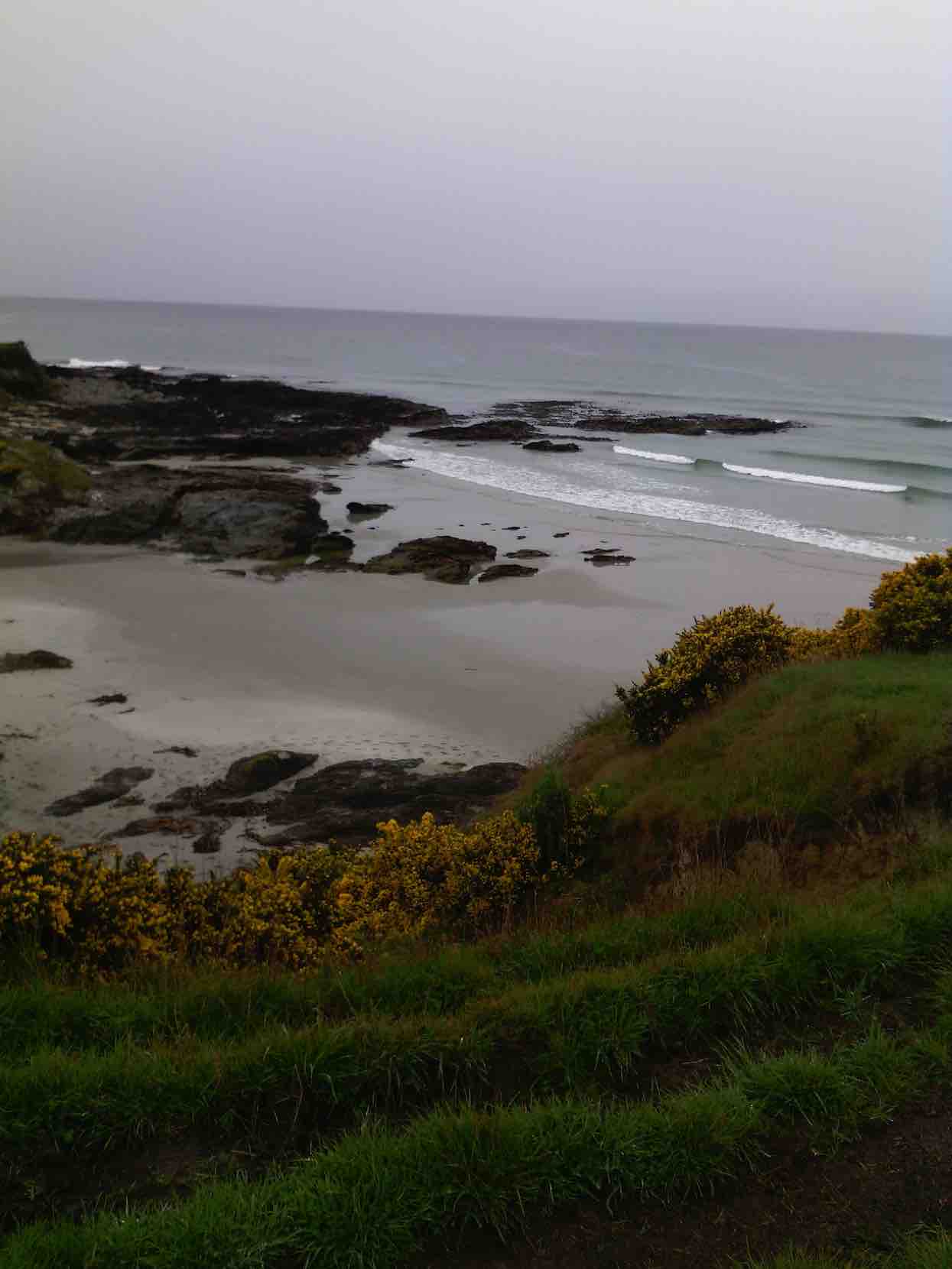
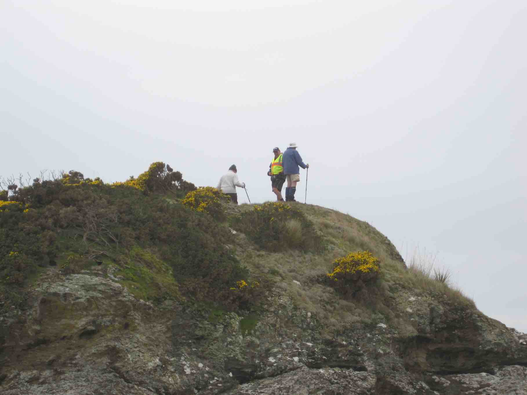
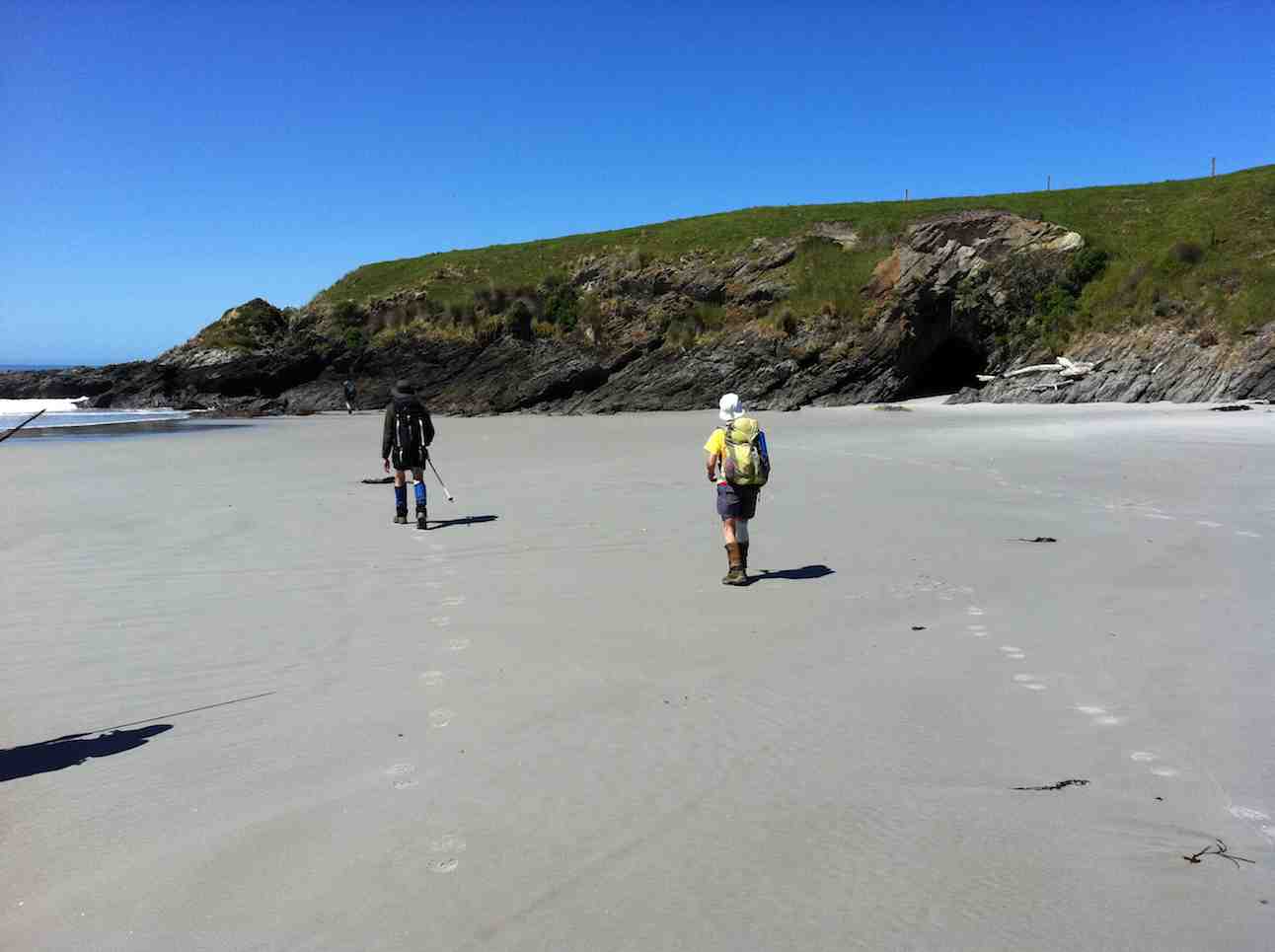
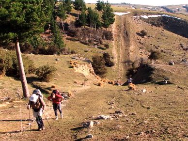
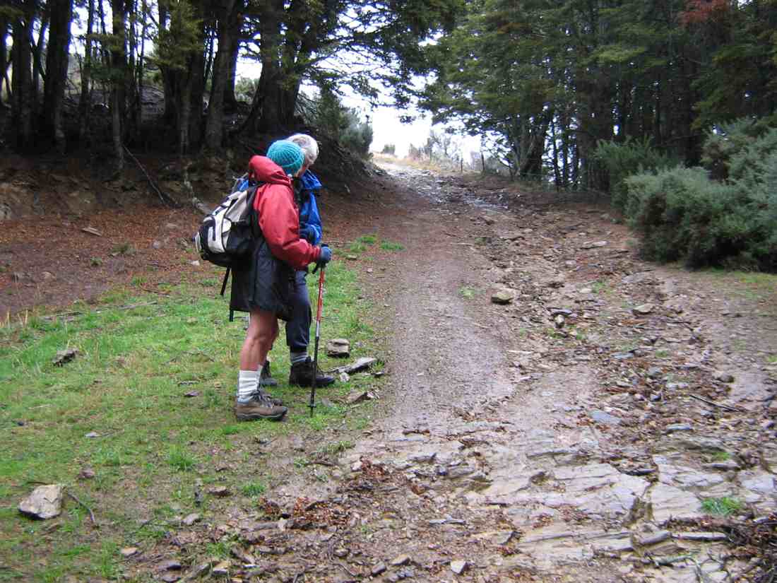
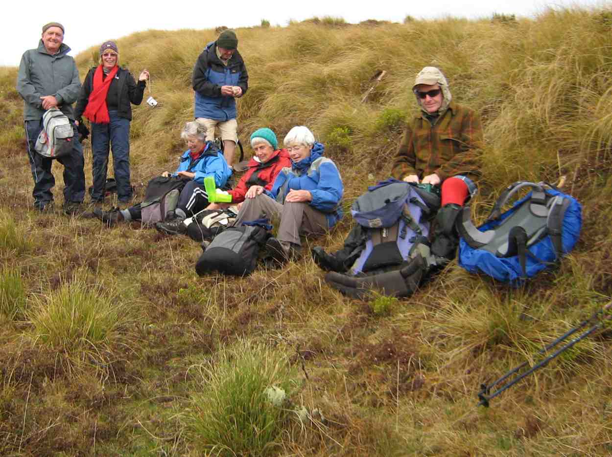
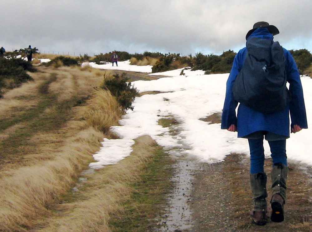
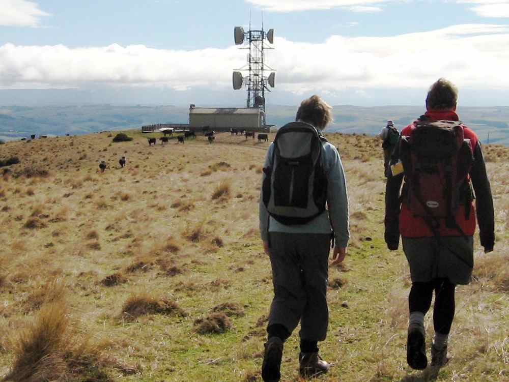
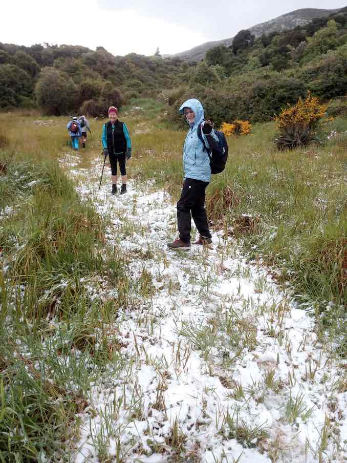
The start of a big day!I (Pam pic and caption.)
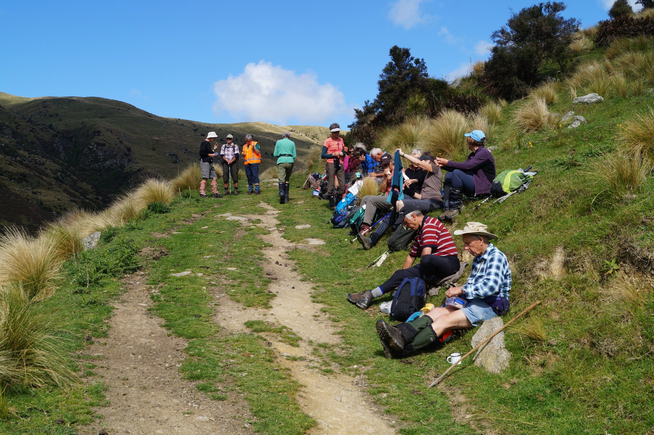
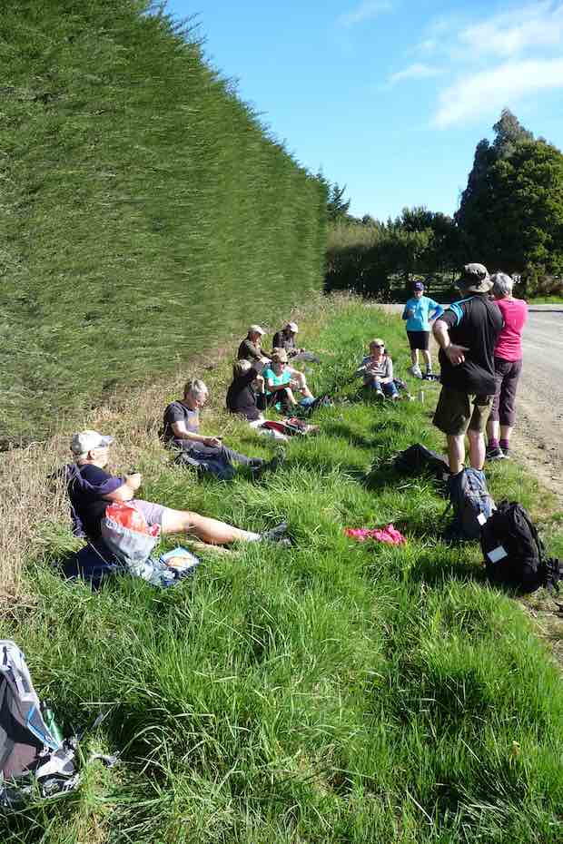
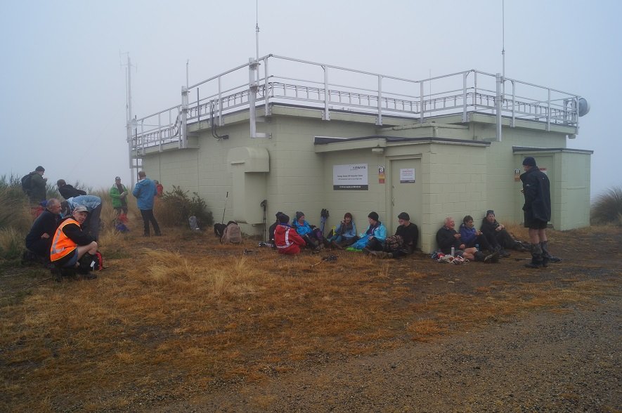
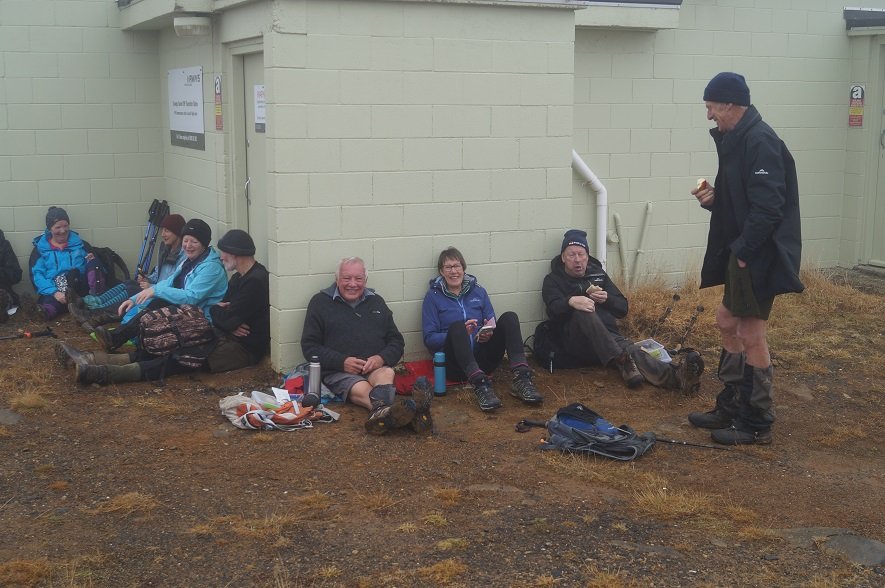
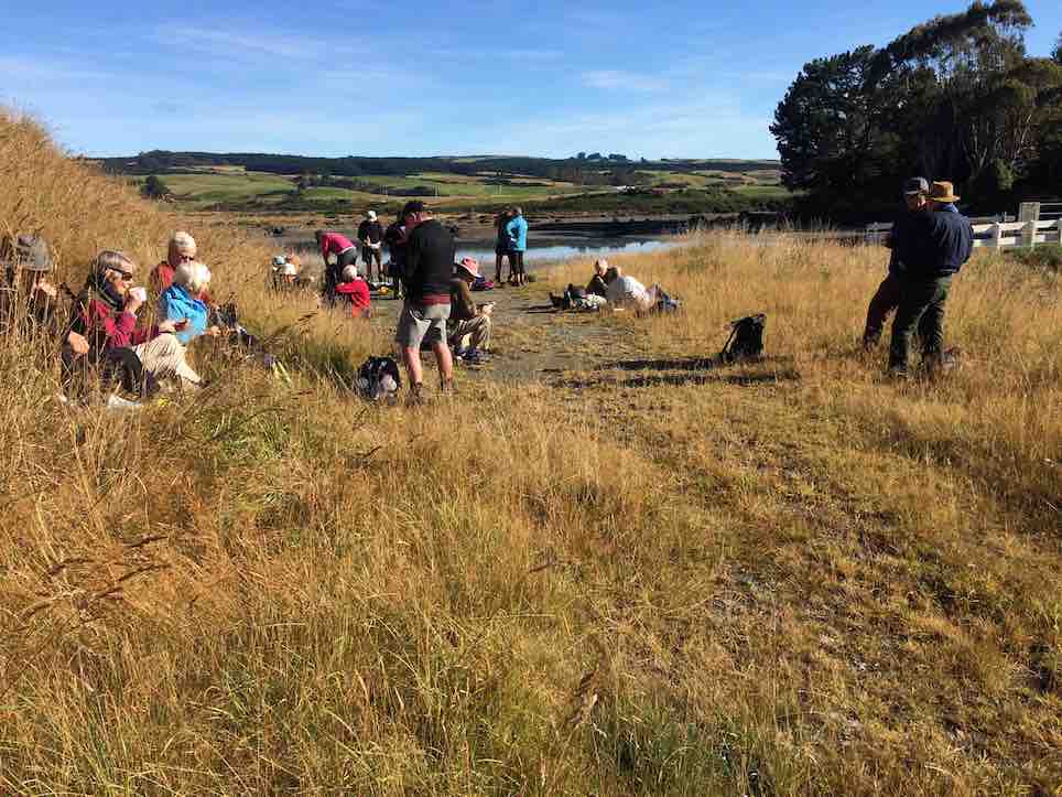
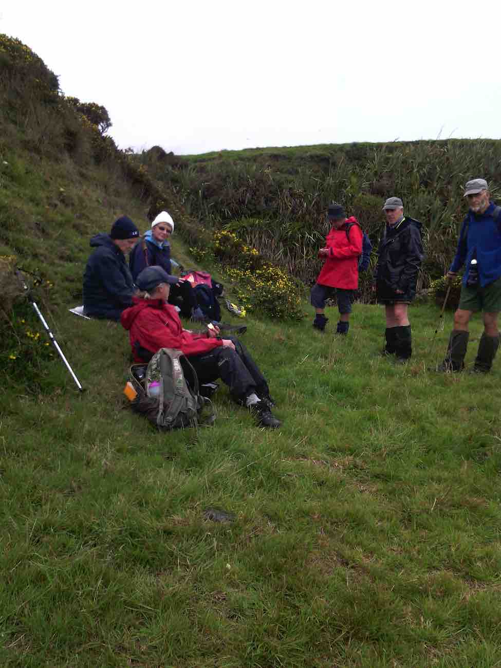
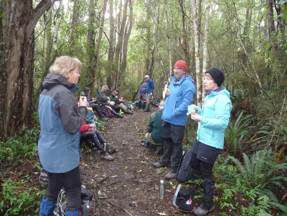
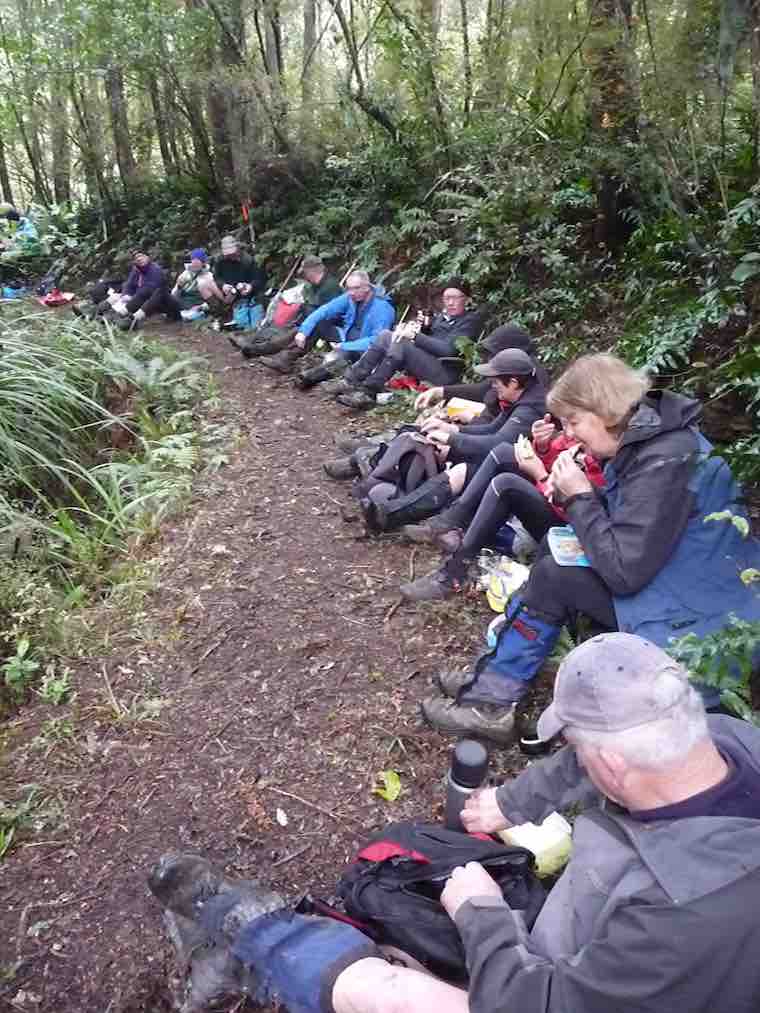
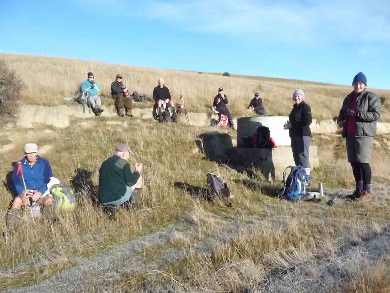
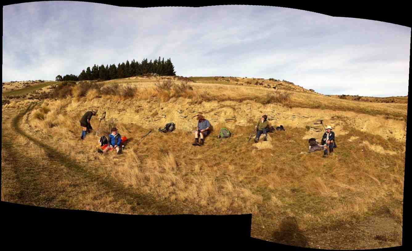
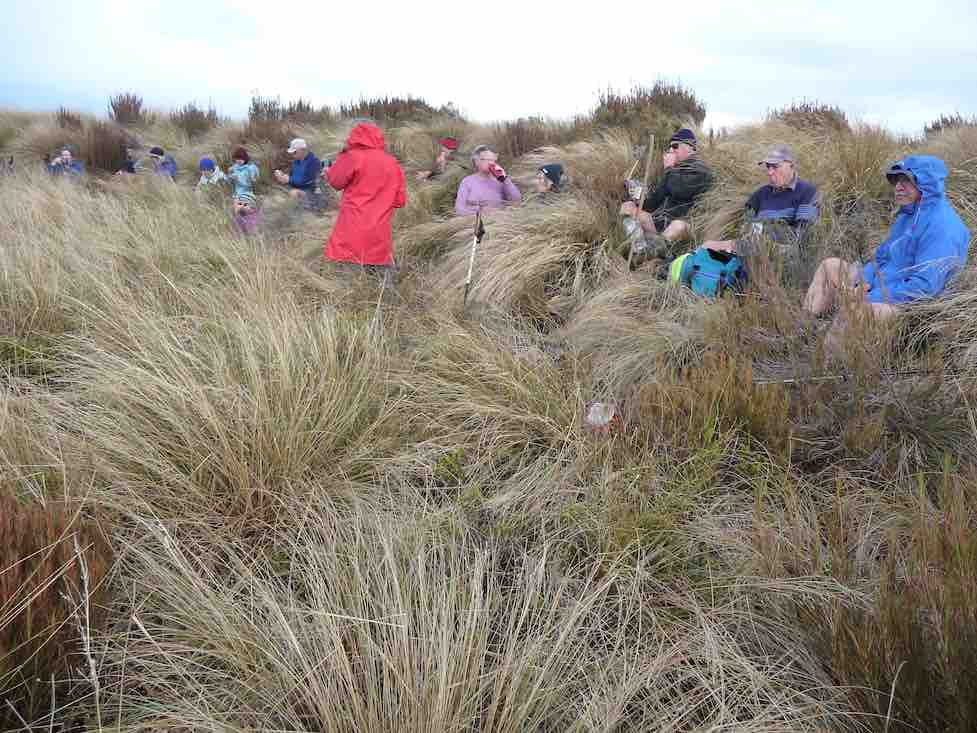
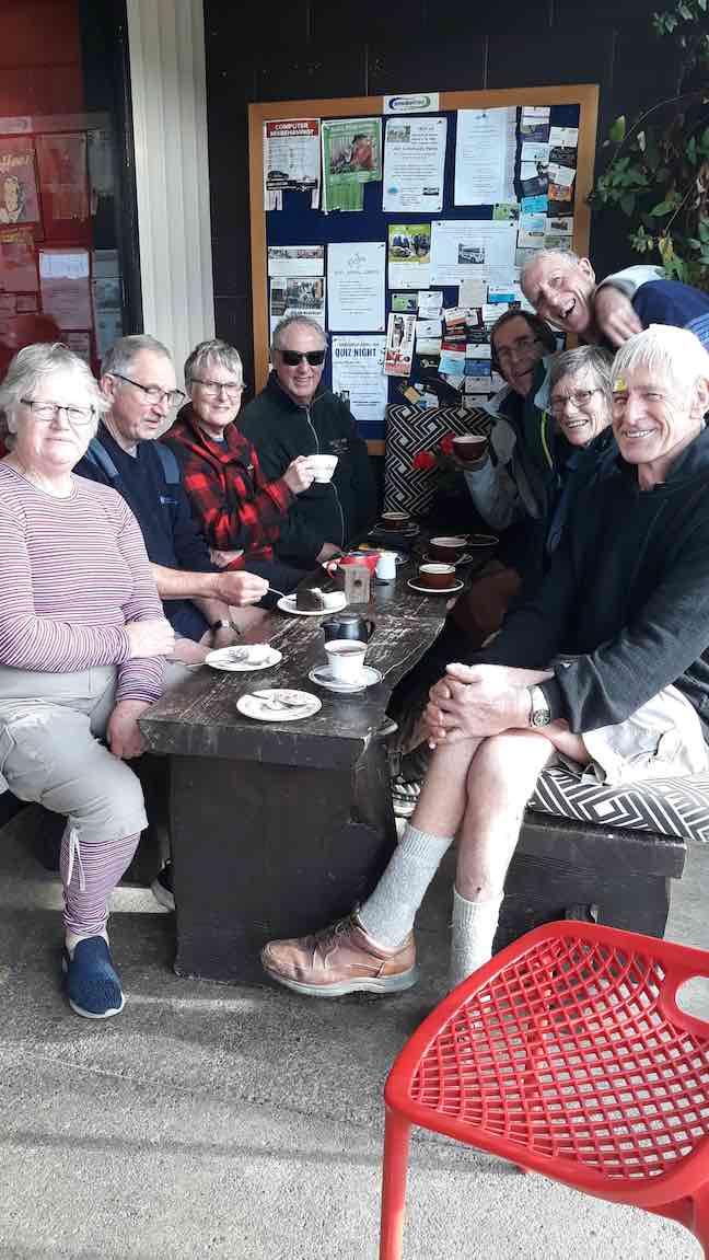
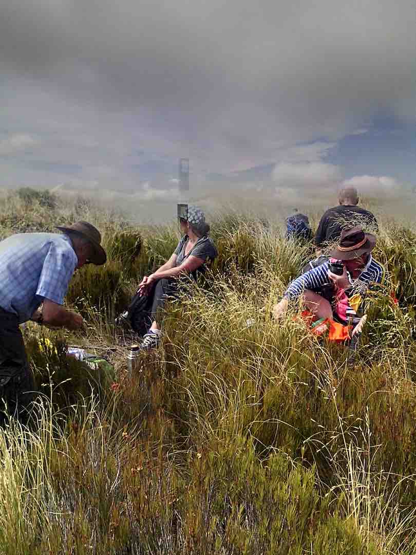
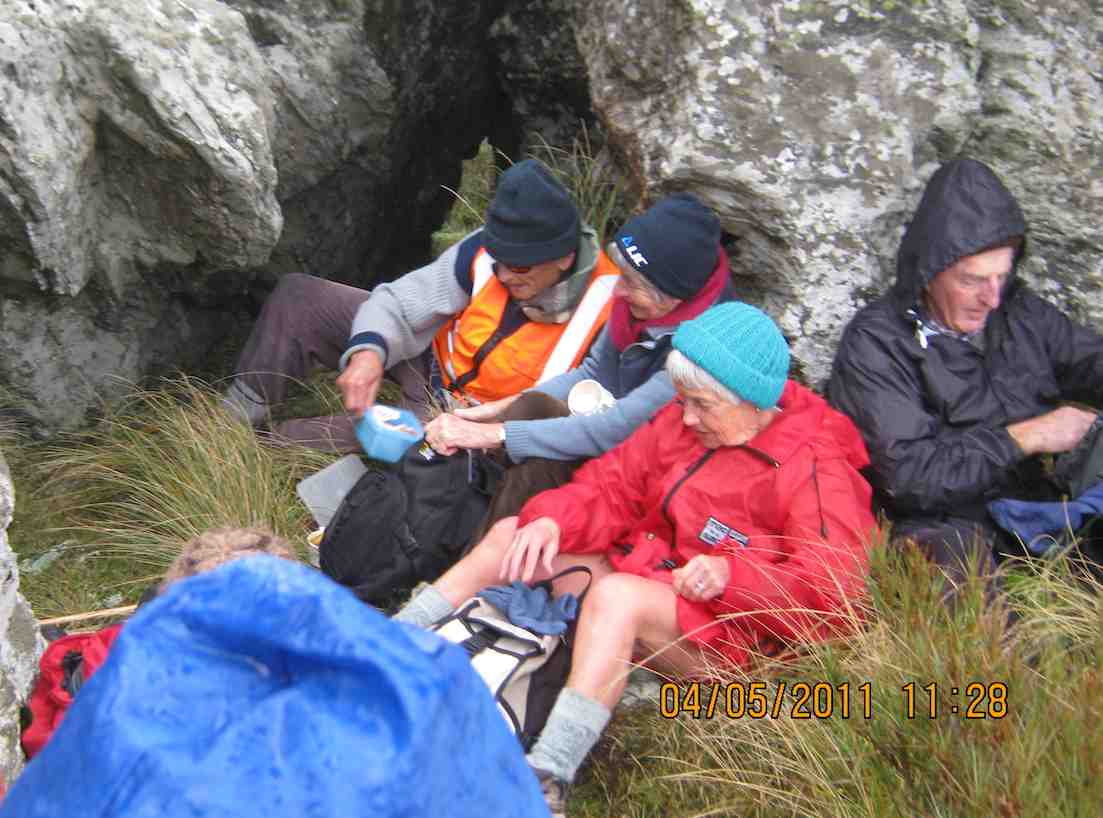
and stopped for smoko at 10:10am.
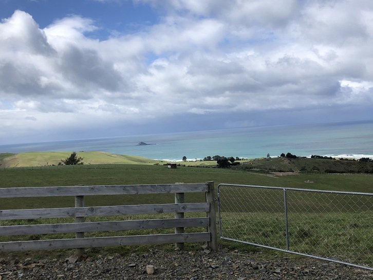
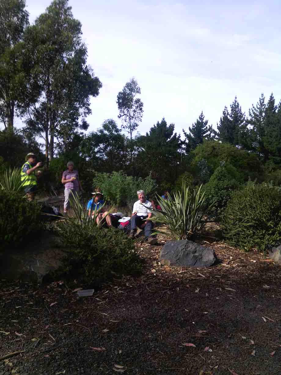
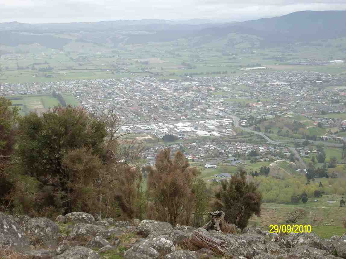
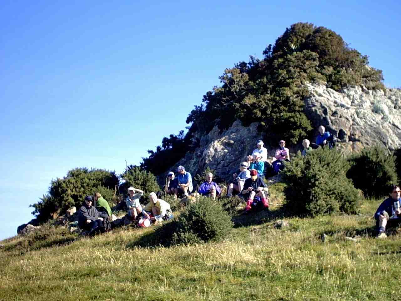
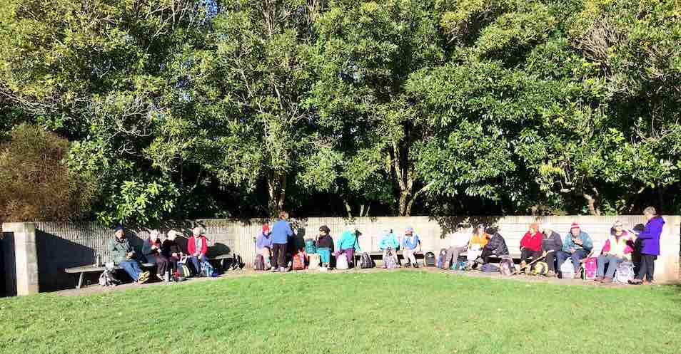
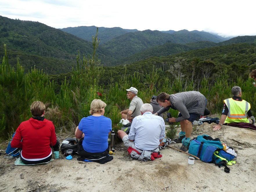
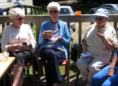
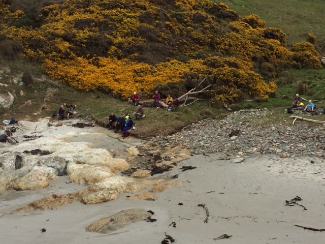
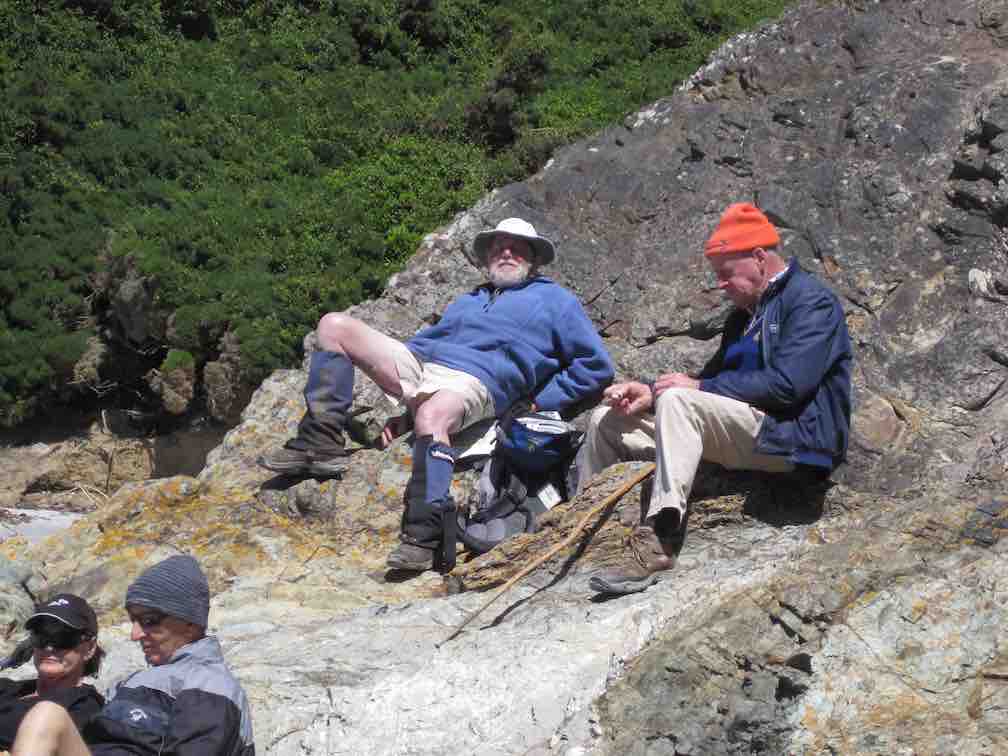
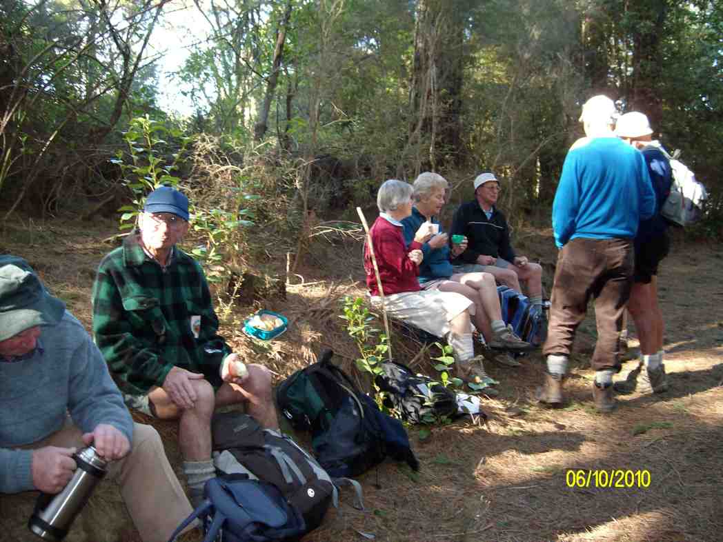
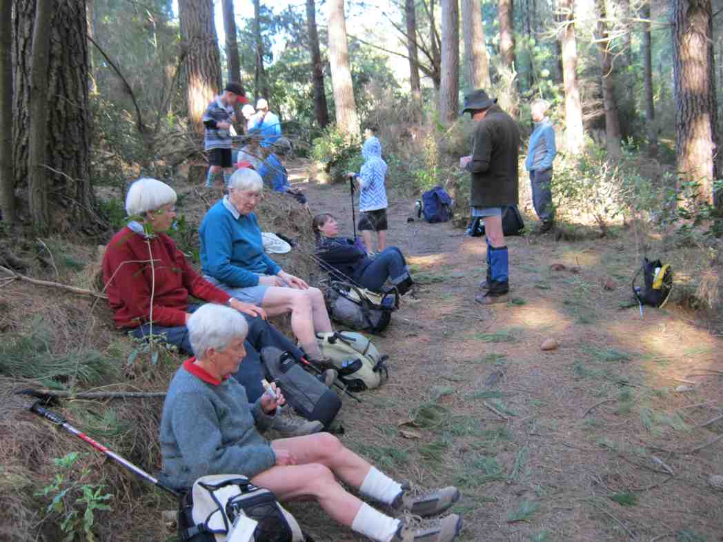
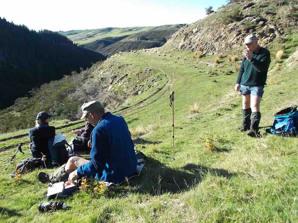
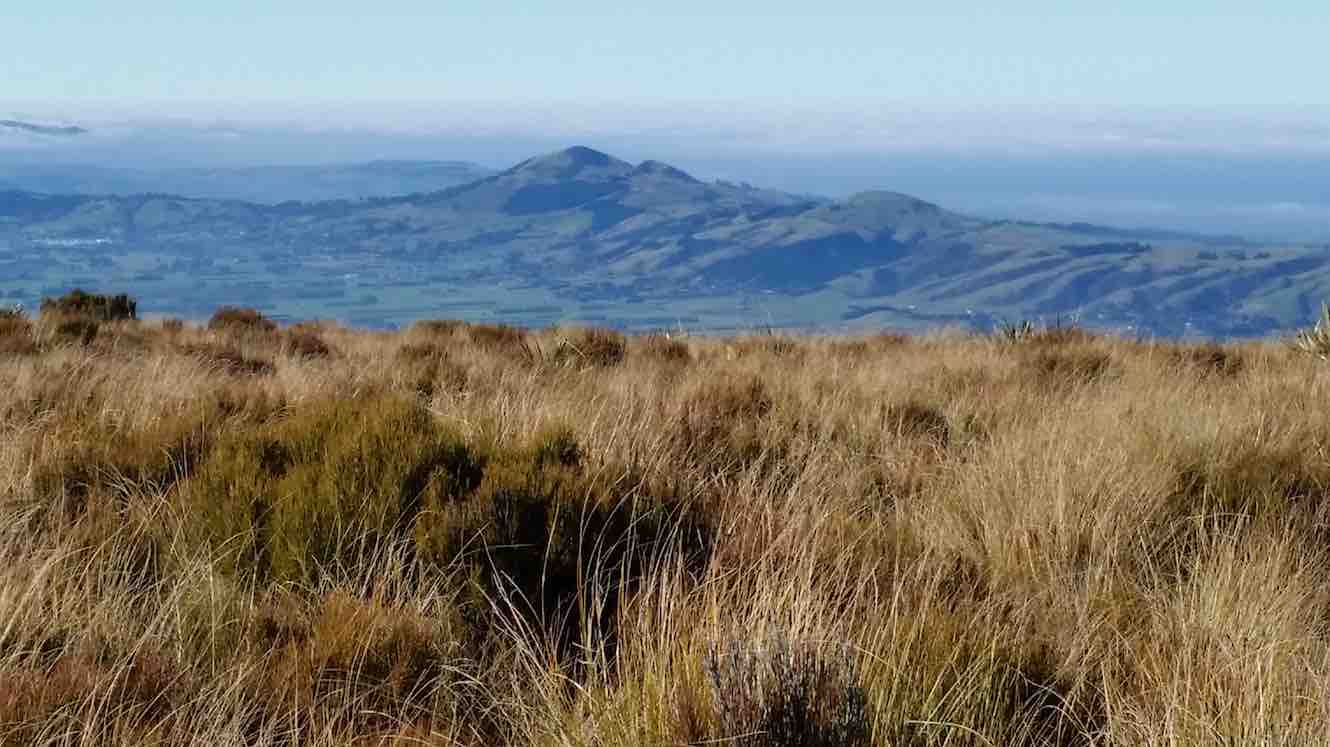
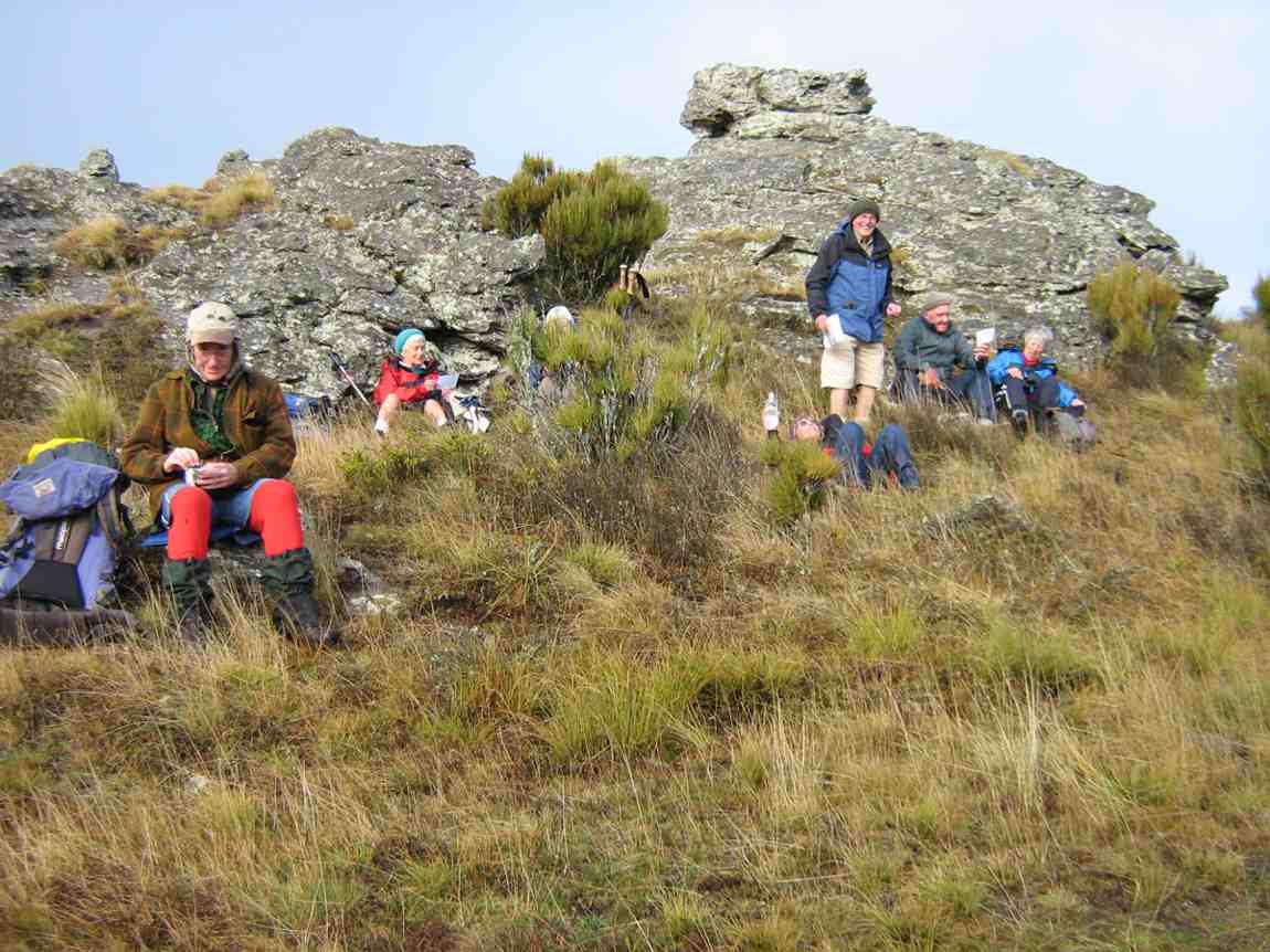
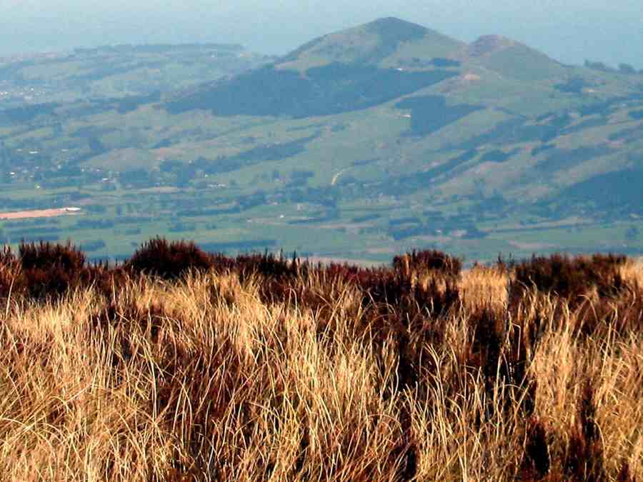
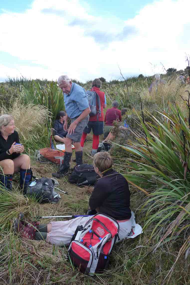
Morning Tea stop (Always with a view.)9John caption and pic)
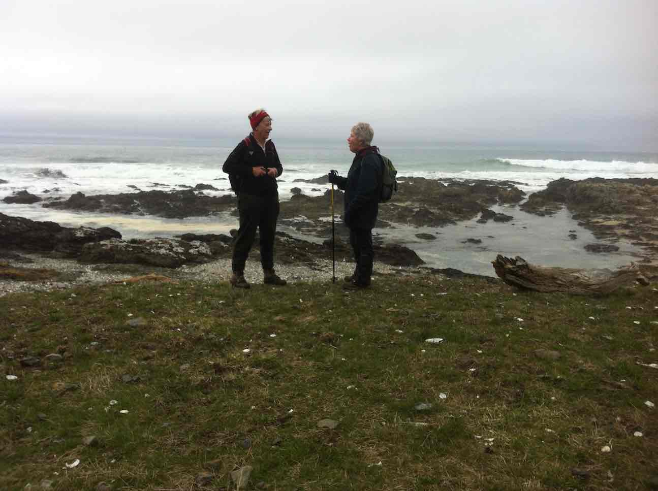
Gordon and daughter Kim ,enjoying the sunshine. (John pic and caption.)
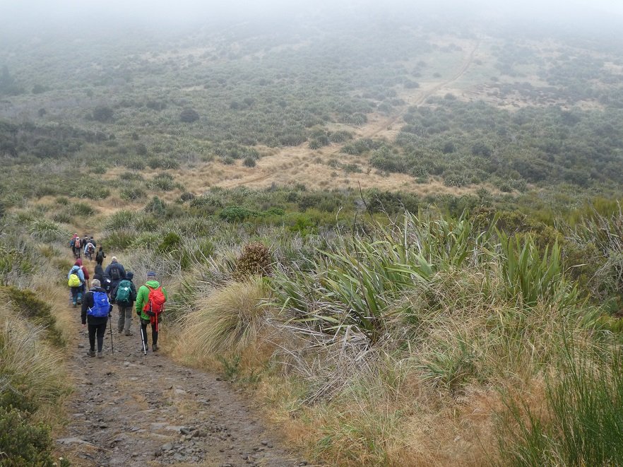
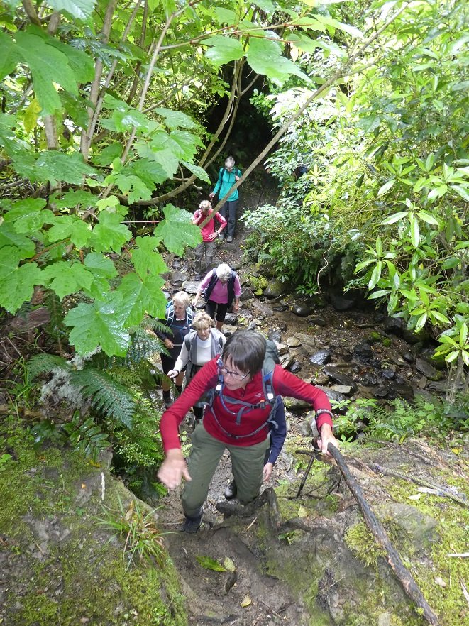
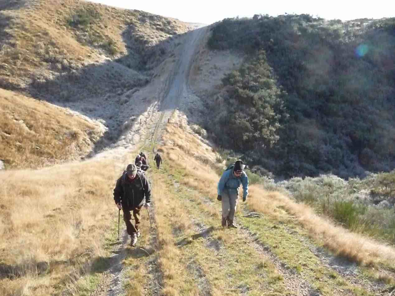
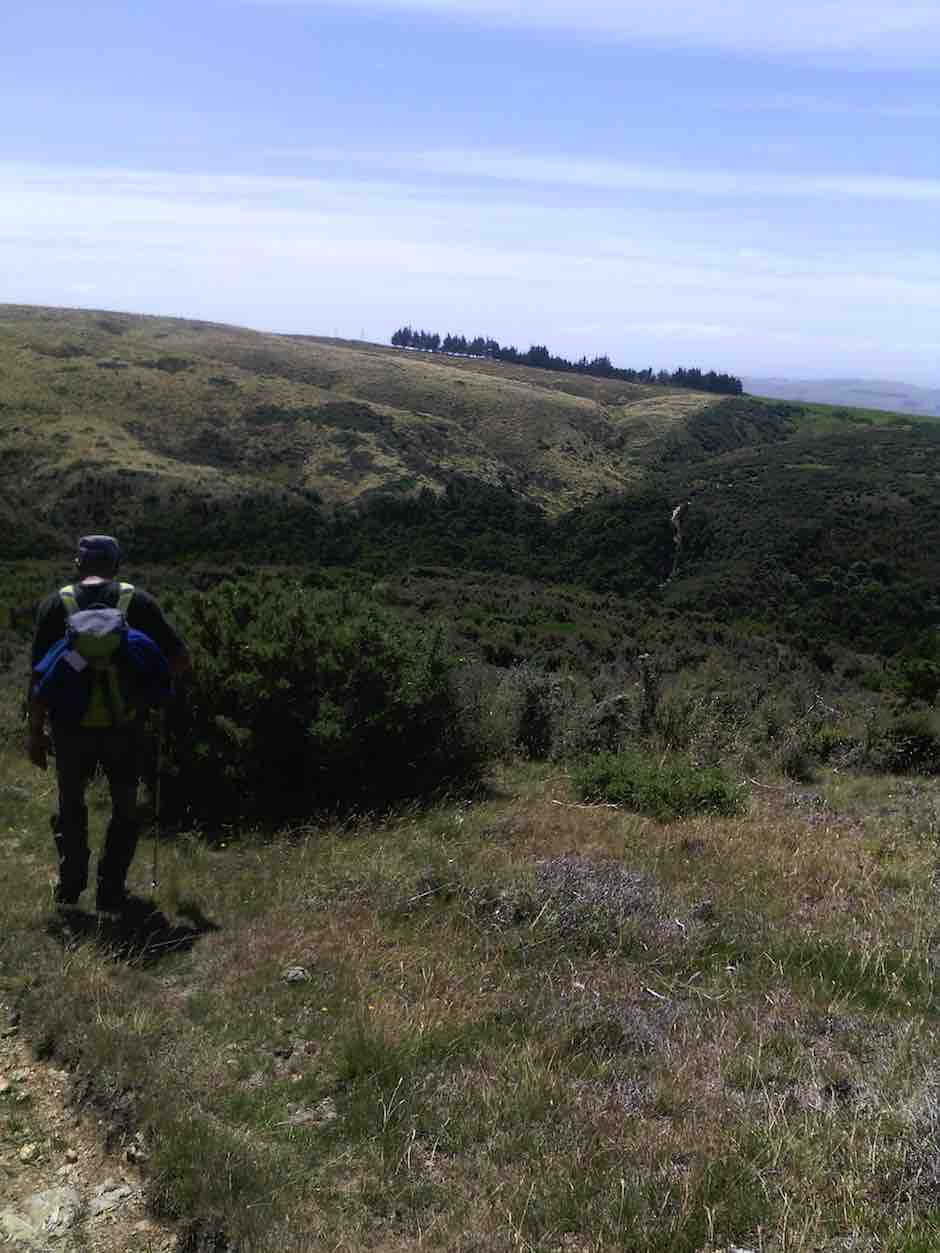
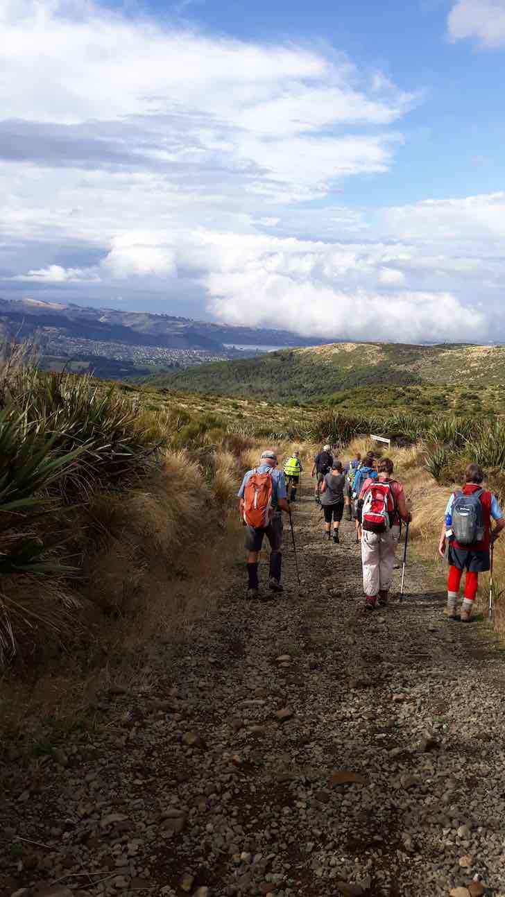
We followed the rough vehicle track up the left fork of Christmas creek continuing up the north side of the Valley.
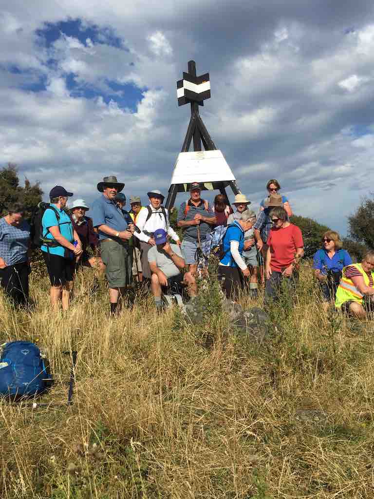
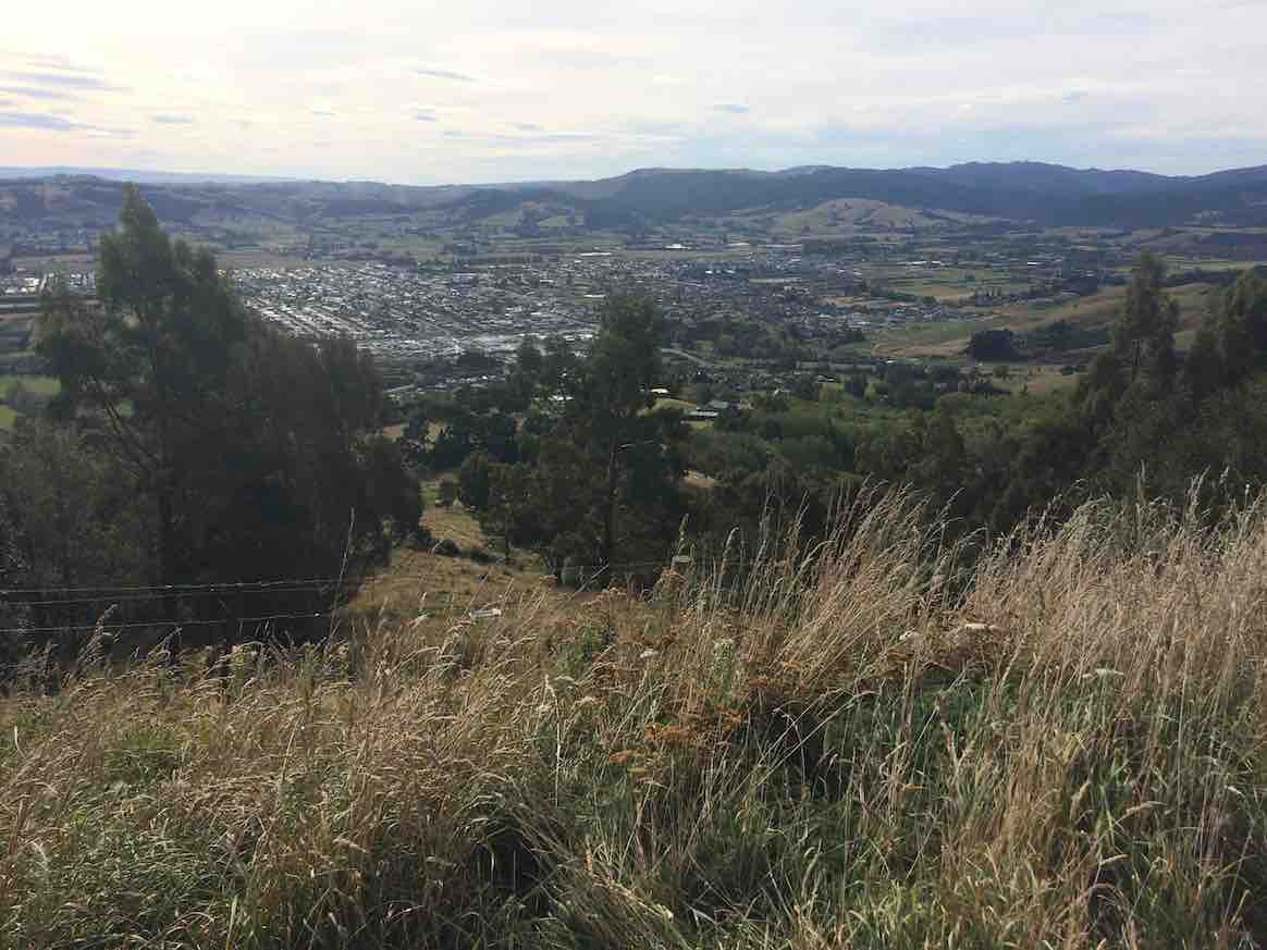
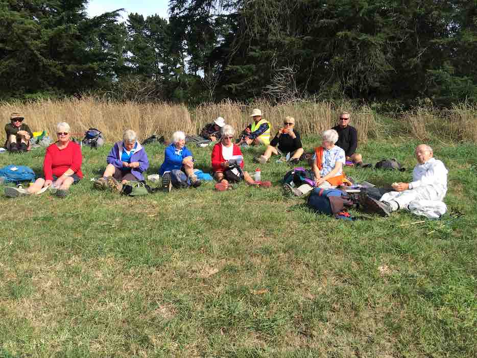
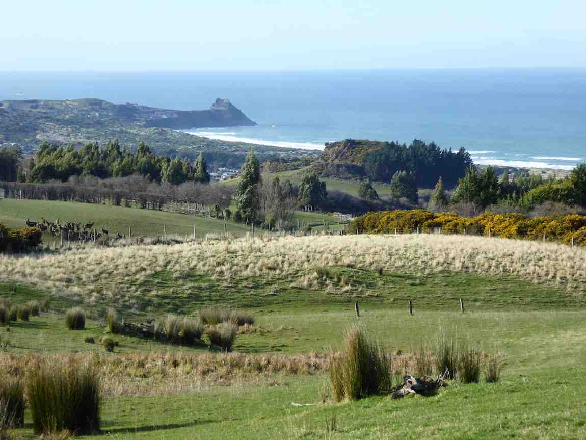
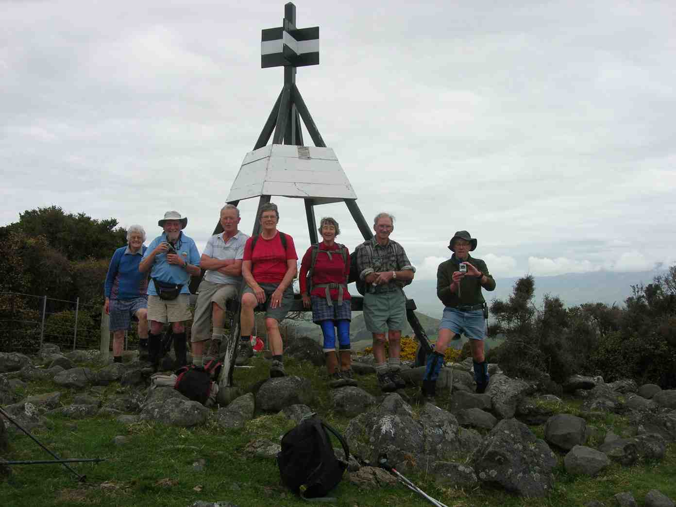
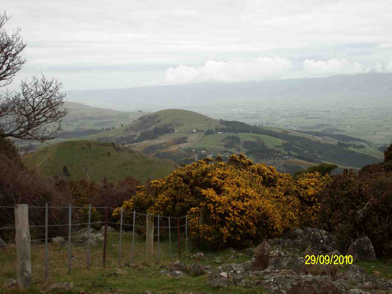
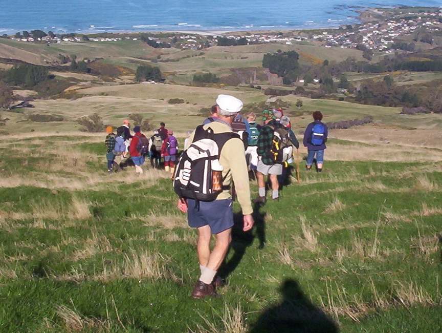
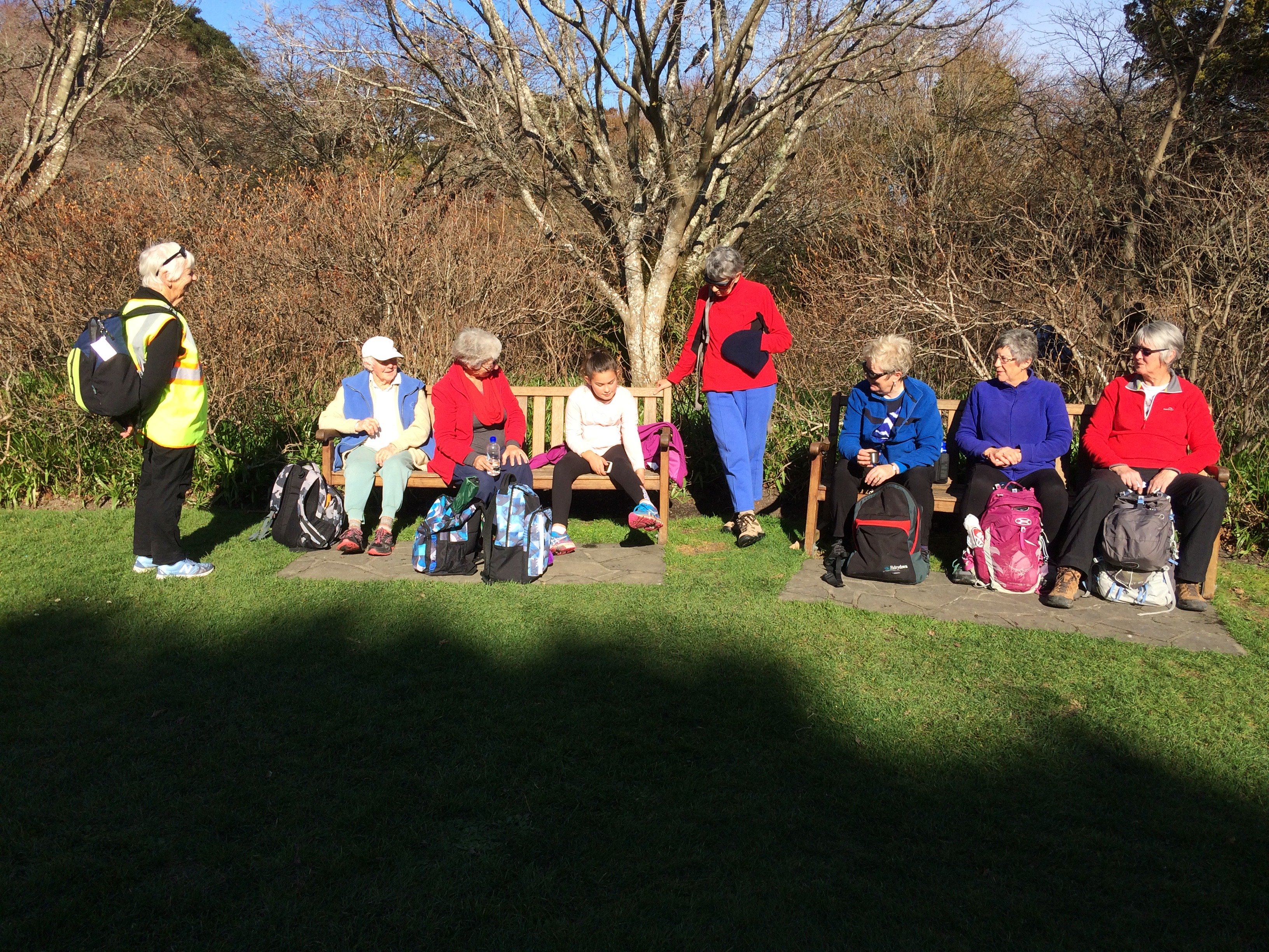
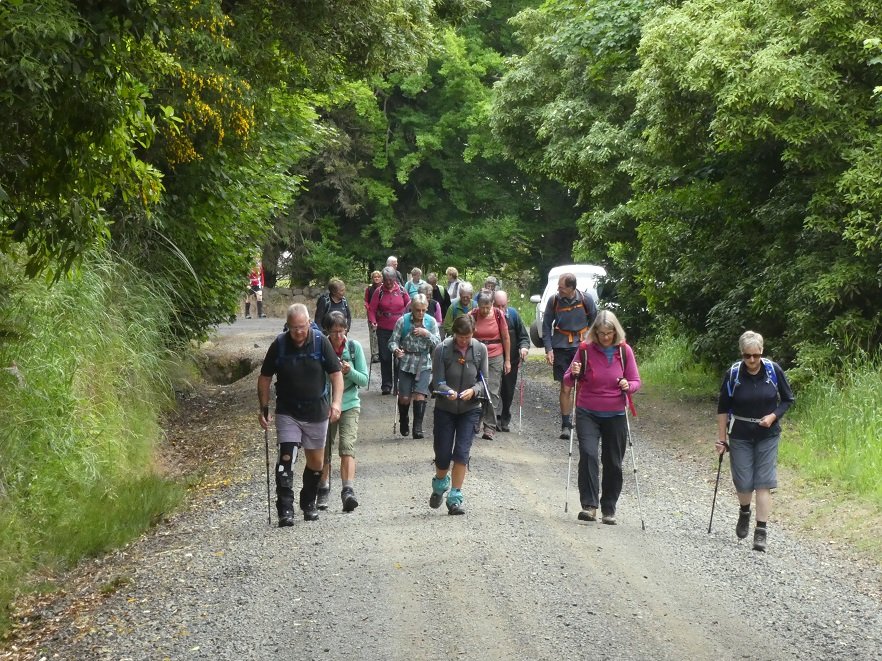
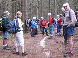
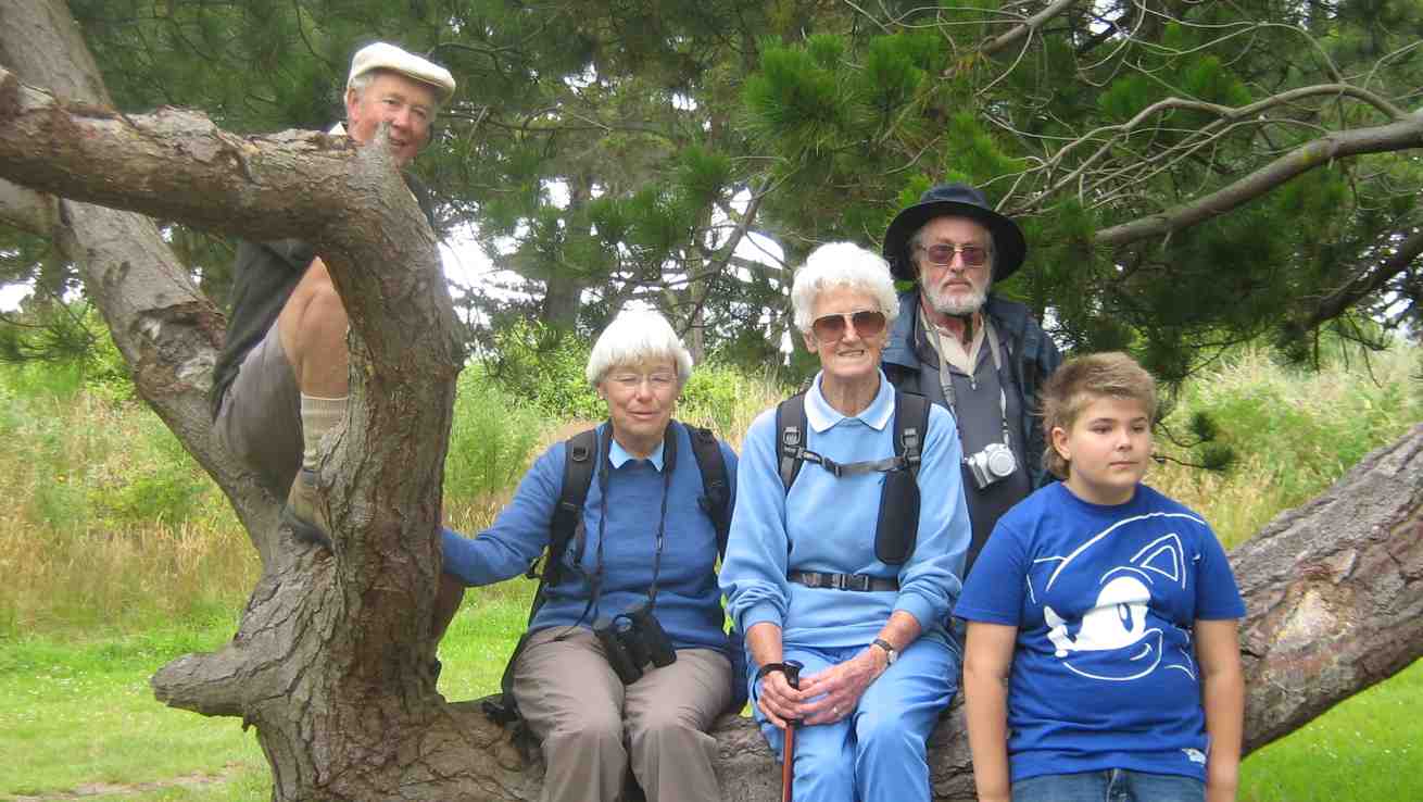
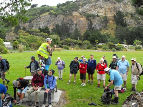
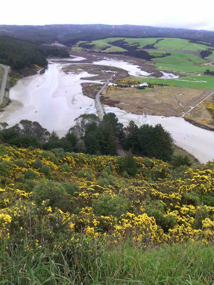
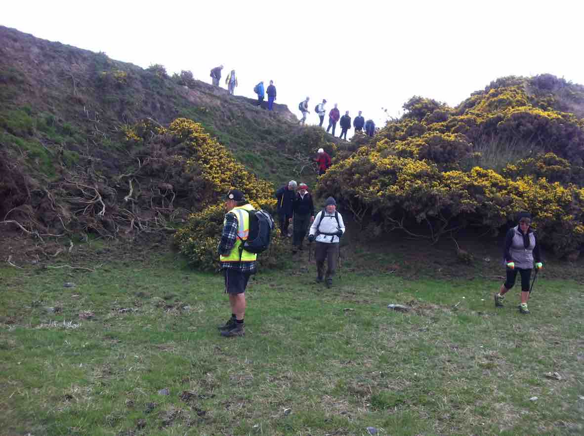
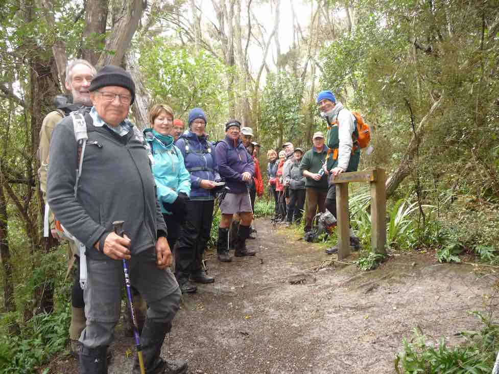
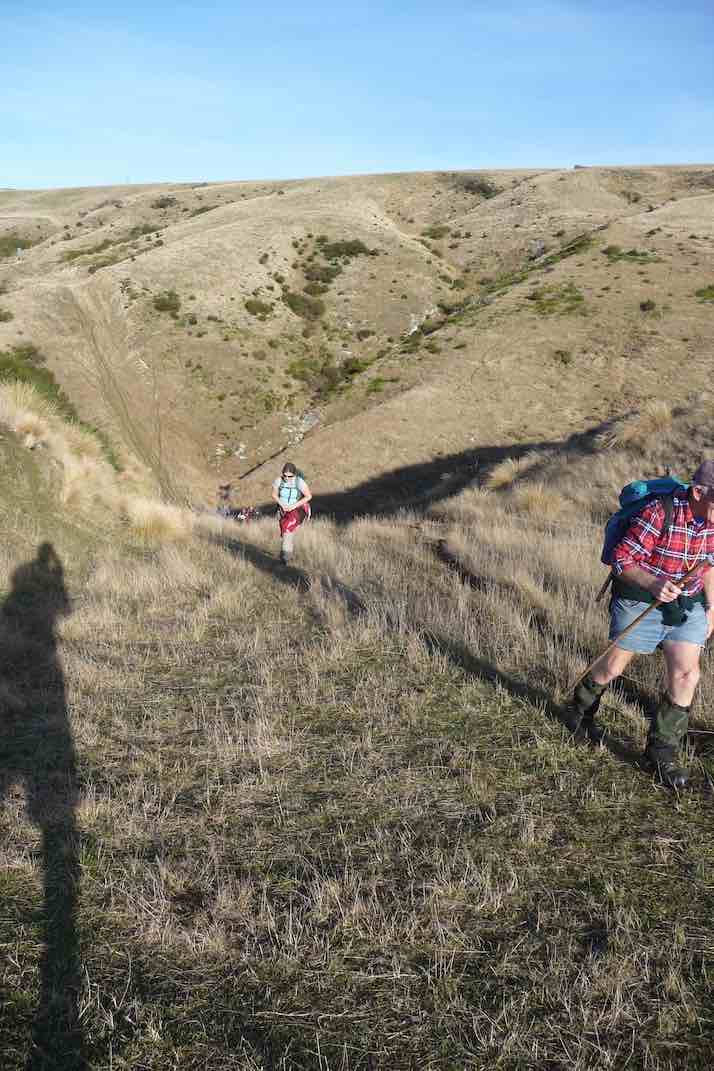
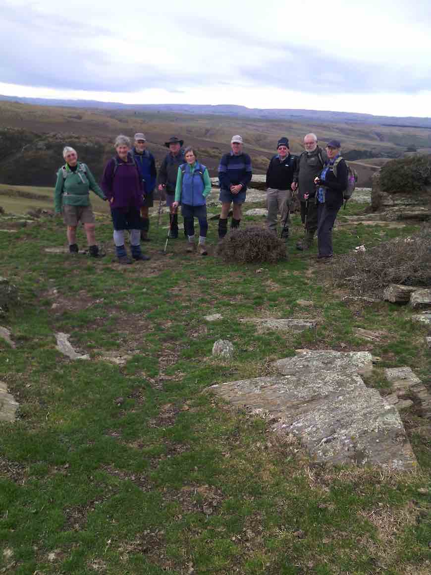
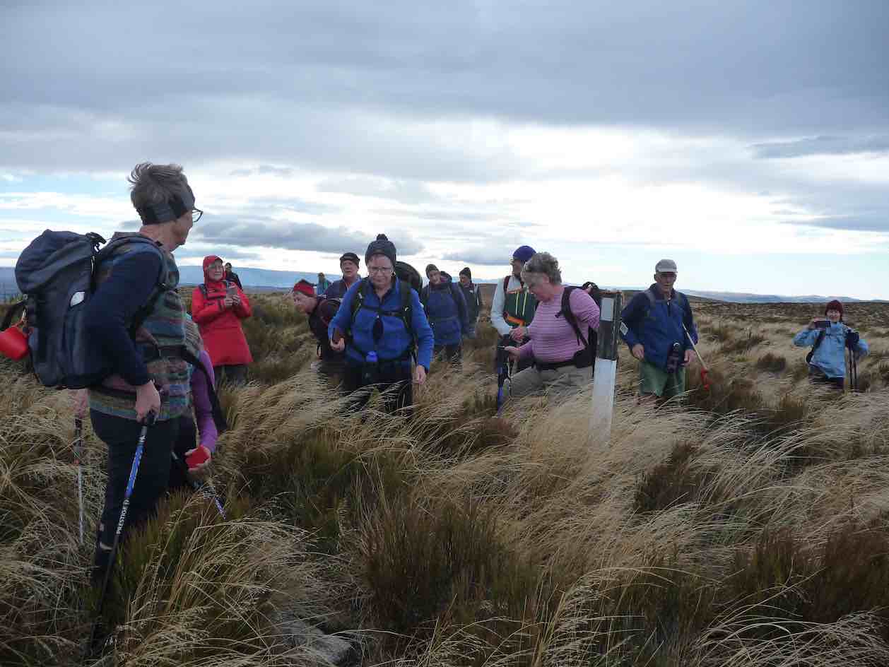
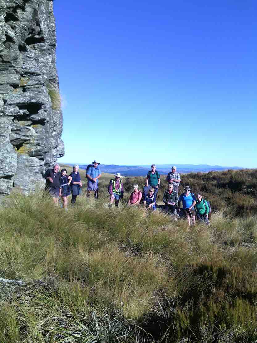
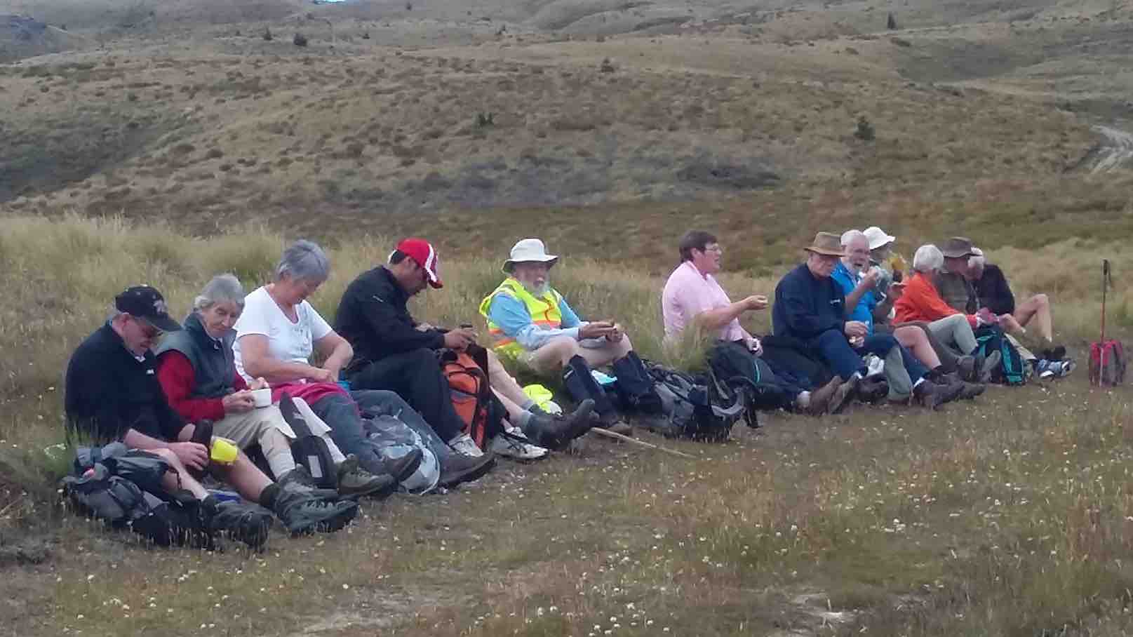
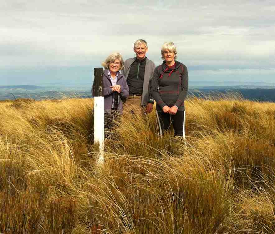
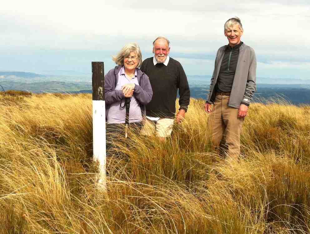
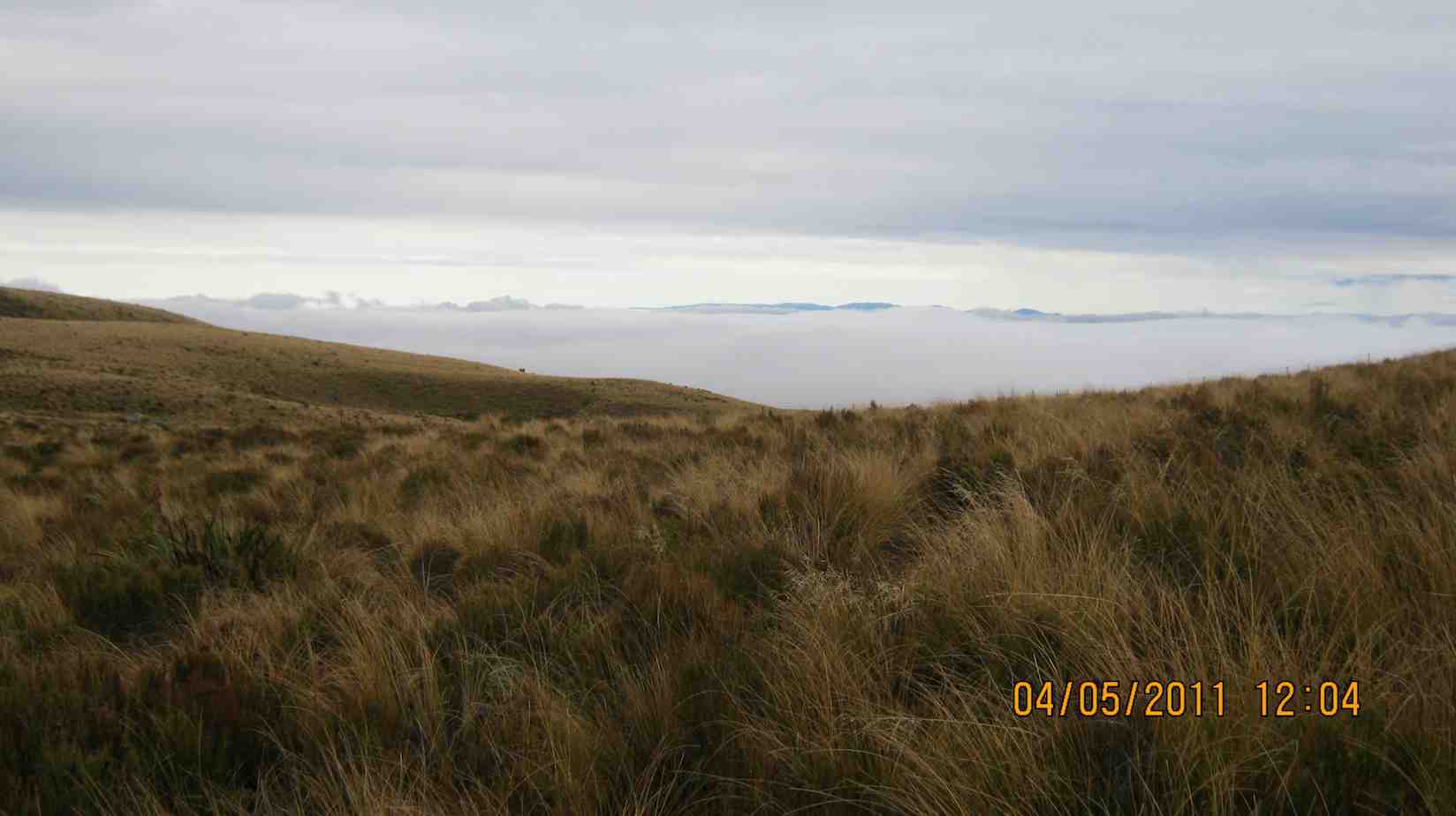
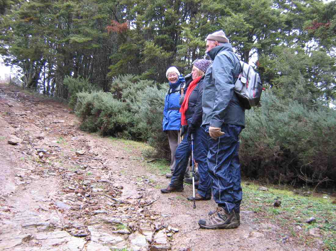
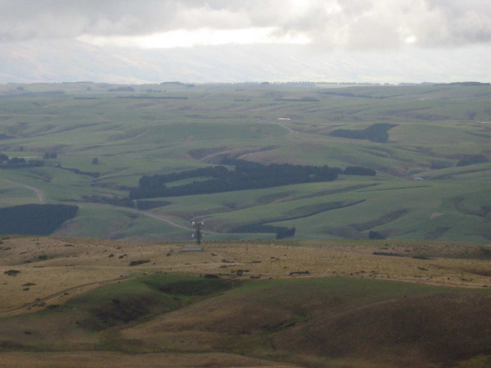
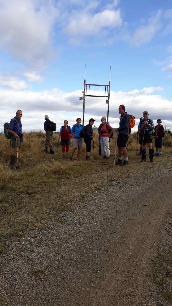
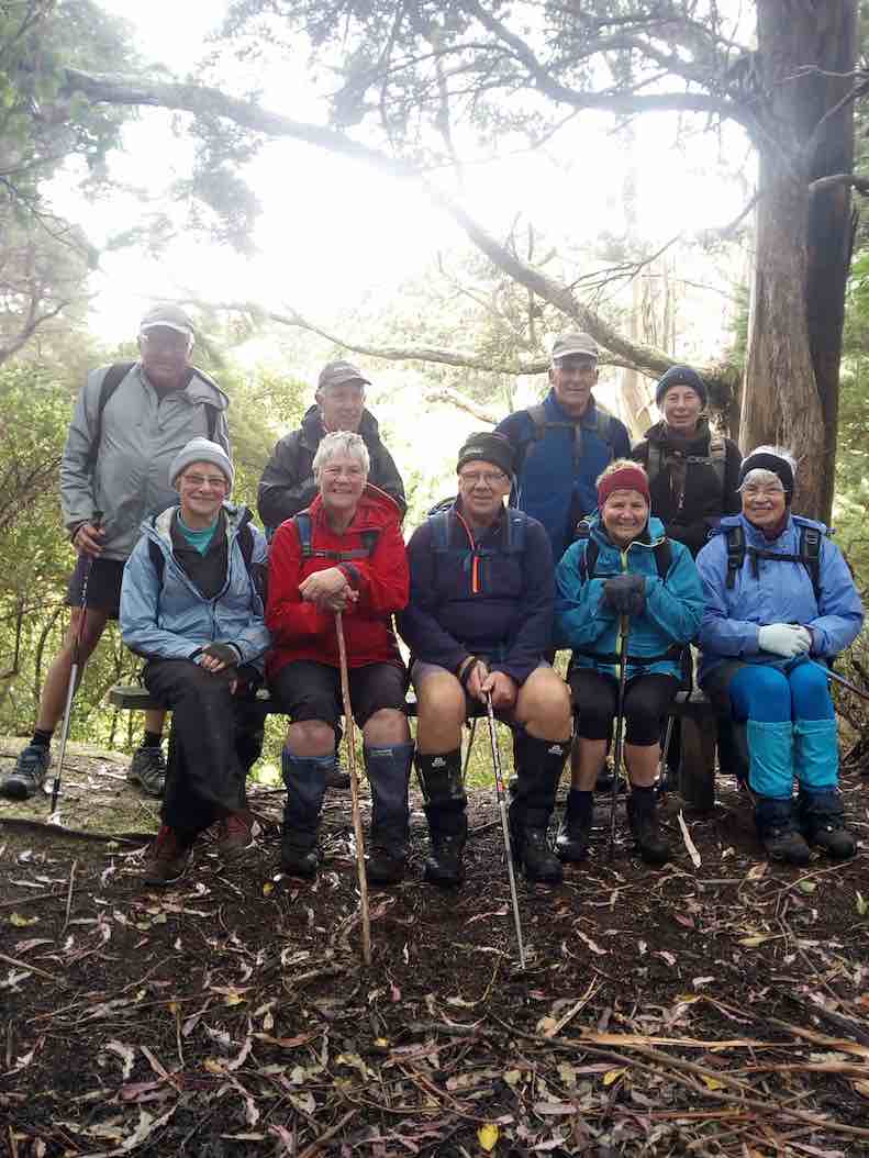
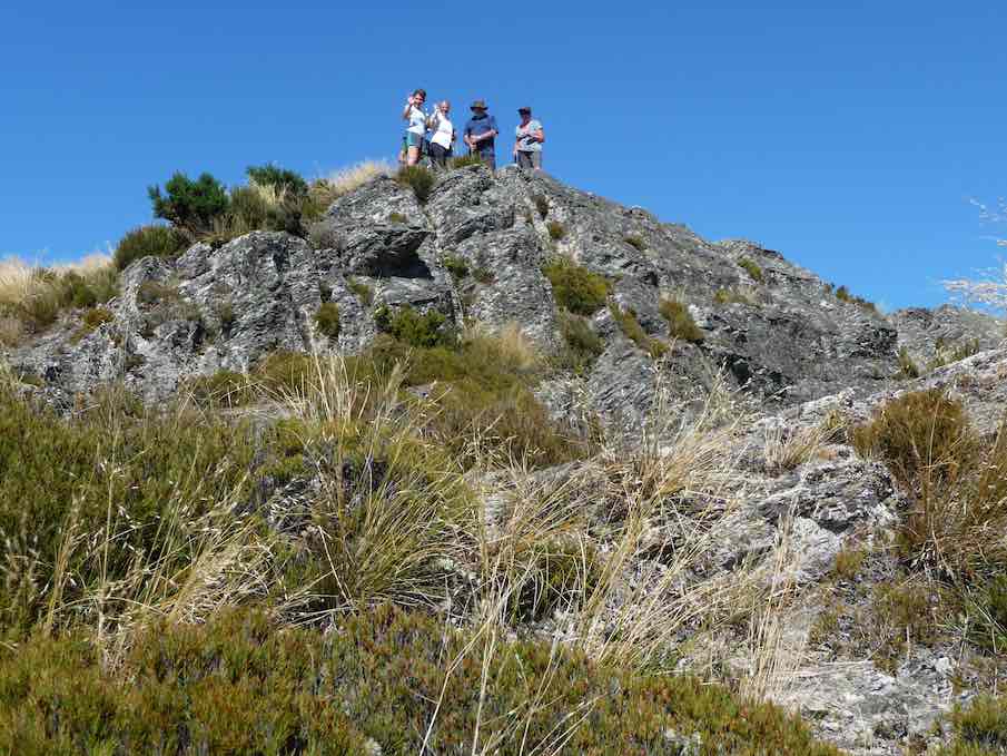
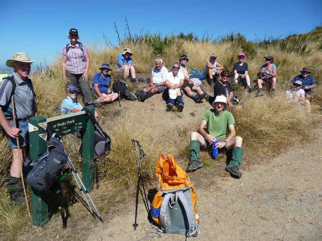
Those views again. (John pic and caption.)Happy Tramper lineup. (John pic and caption.)
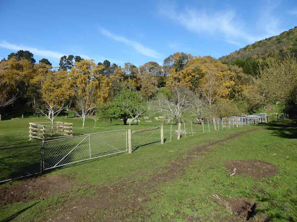
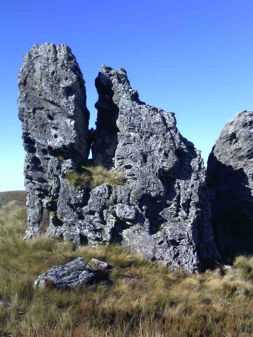
This is steep tussock country which has been oversown and grazed to create productive pasture. Mount John hut(an unused Musters hut owned by Silverpeak station) sits on the right hand side of the track).
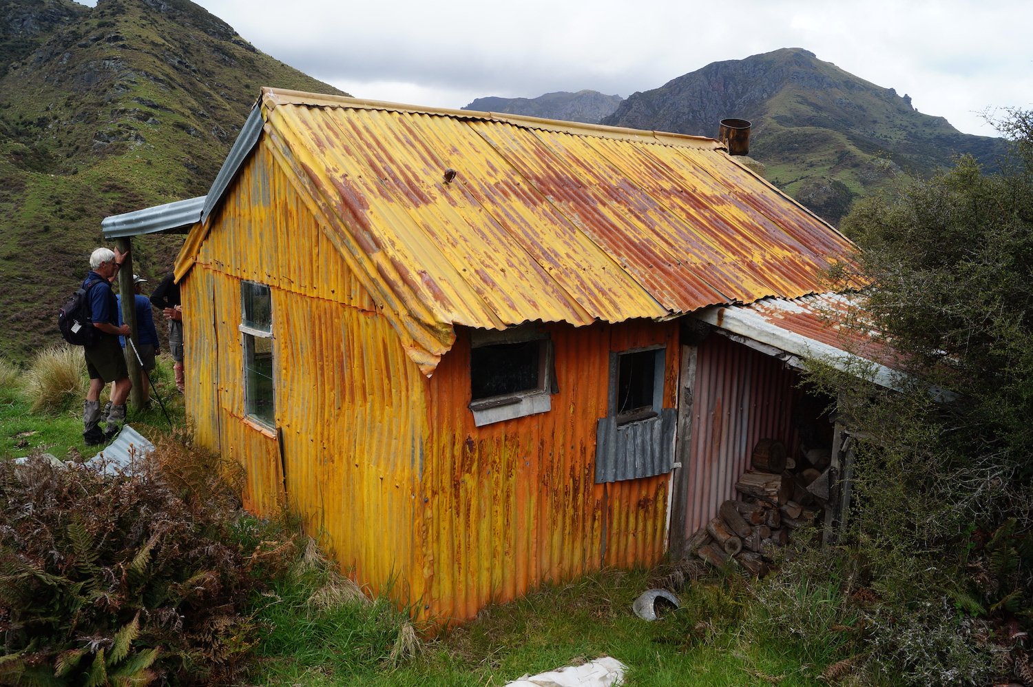
The undulating walk continued until 11:50am to the junction of Cave creek, at this point the majority walked on another ten minutes to have a look at Homestead (or Christmas creek hut), also owned by Silverpeak station.
The strange patina on Orange Hut. (John pic and caption.)The Team’ at Sarah.The Team’ at Orange hut. (Sarah pic and caption.)
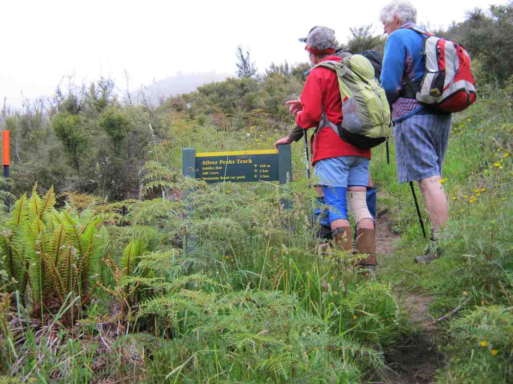
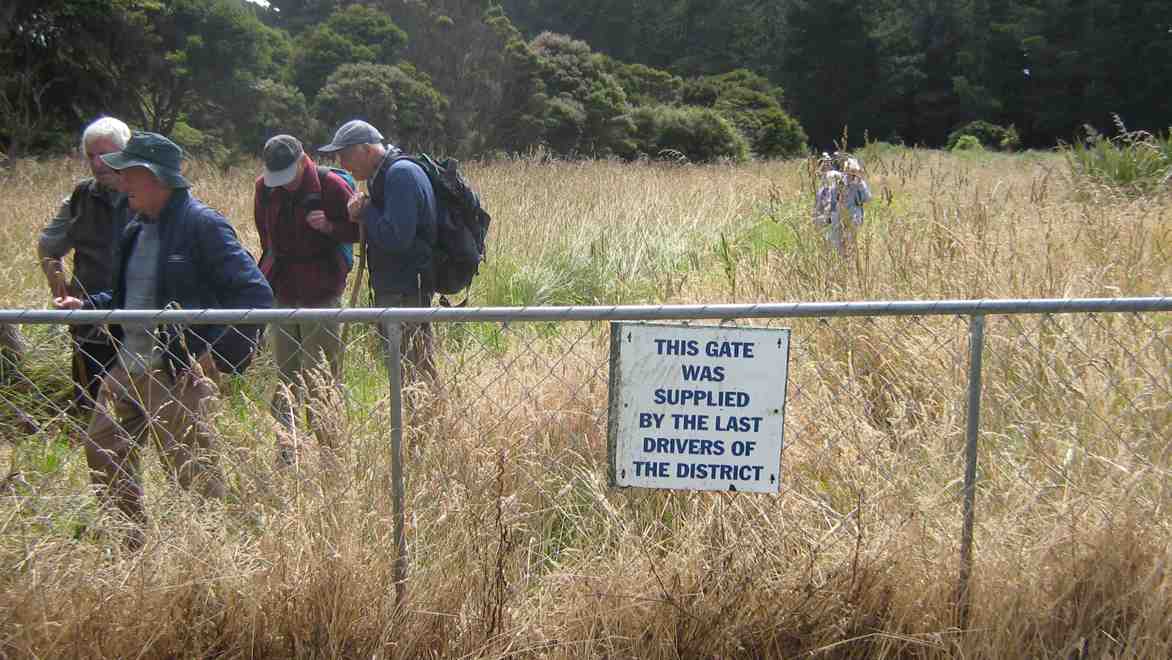
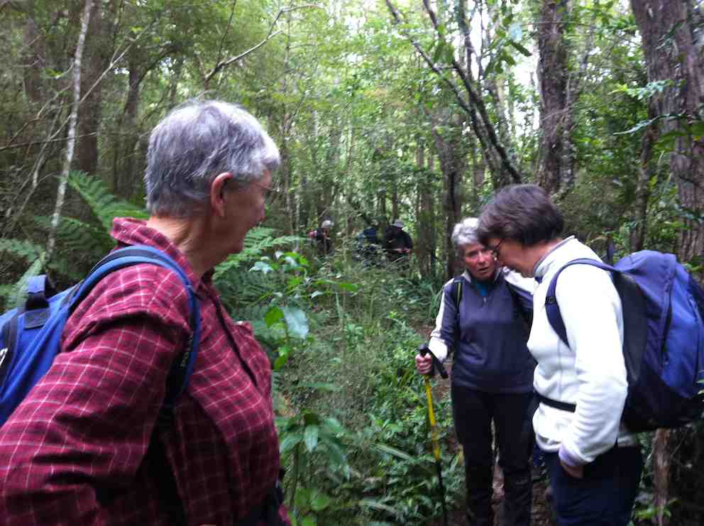
Meanwhile, the smaller group headed off towards the 1.5km walk up along Cave creek to Jubilee hut, waiting half way to regroup. Arthur had carried Loppers expecting to have to use them, however, Green Hut volunteers had the track clear. The original Jubilee hut was opened in 1951 on the left hand side of the creek, it was built in a cold spot. Signpost indicating Jubilee hut 100 metres on——that person had a long stride—— a very long 100 metres!
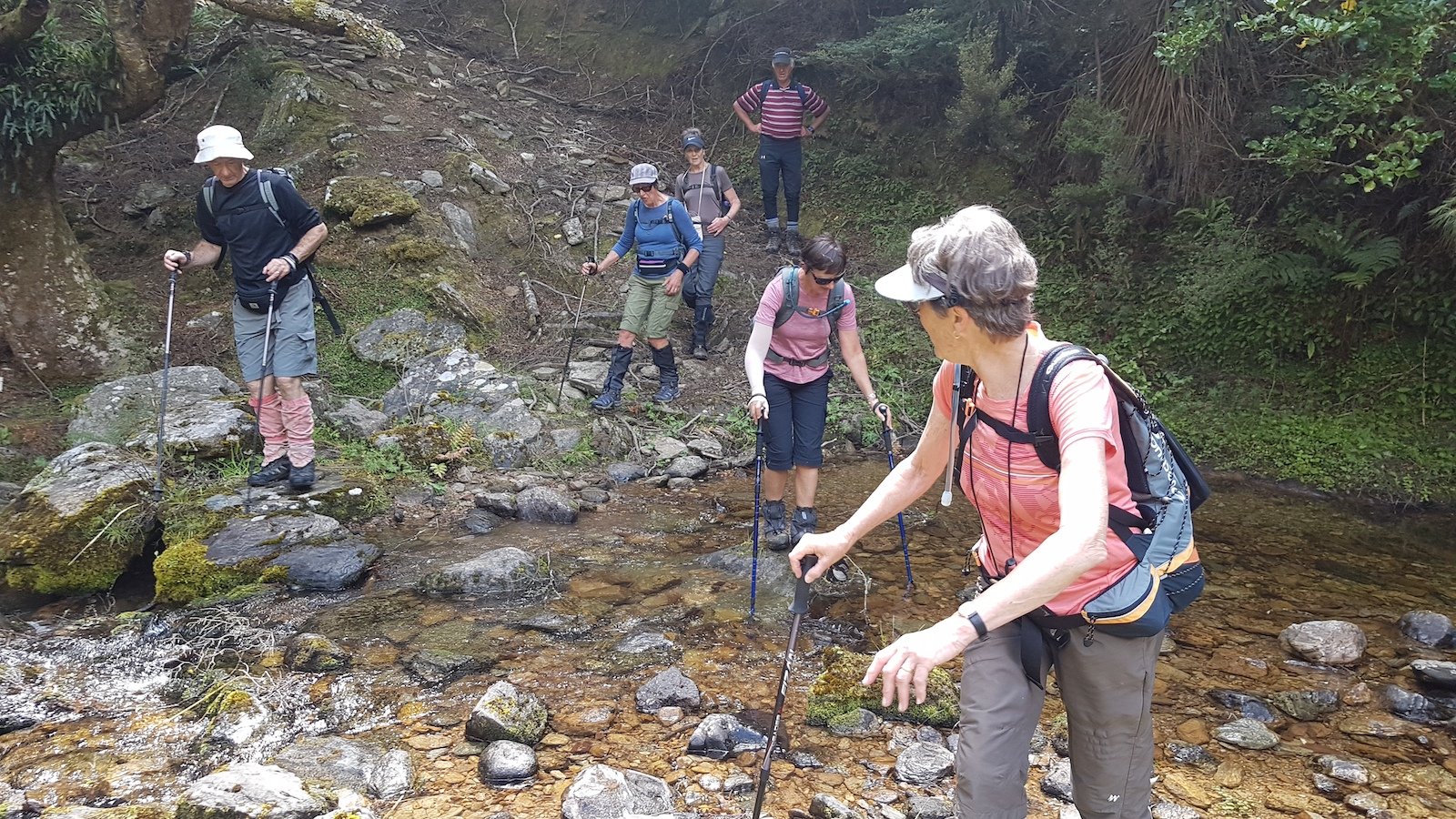
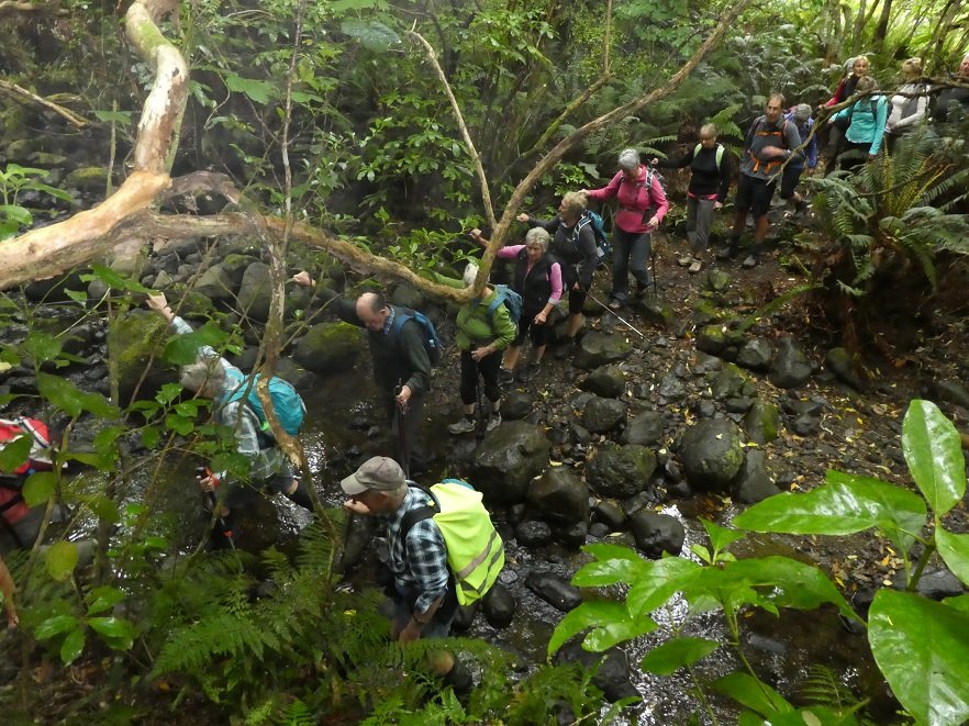
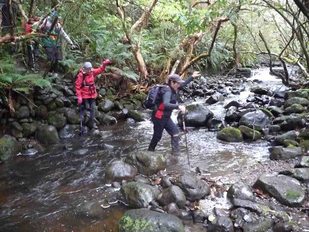
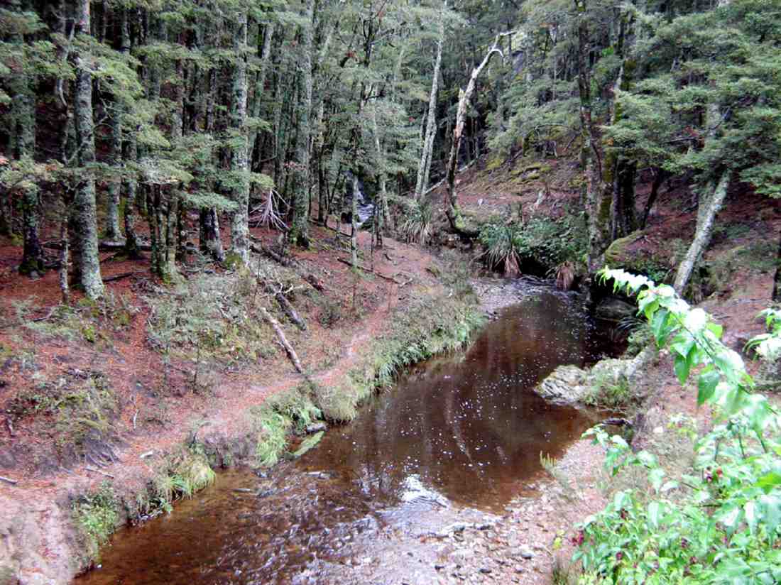
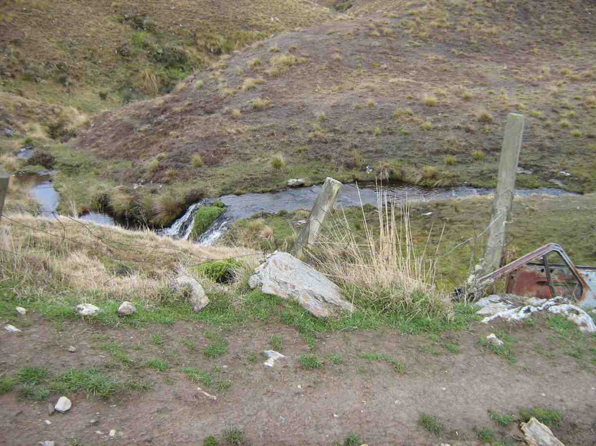
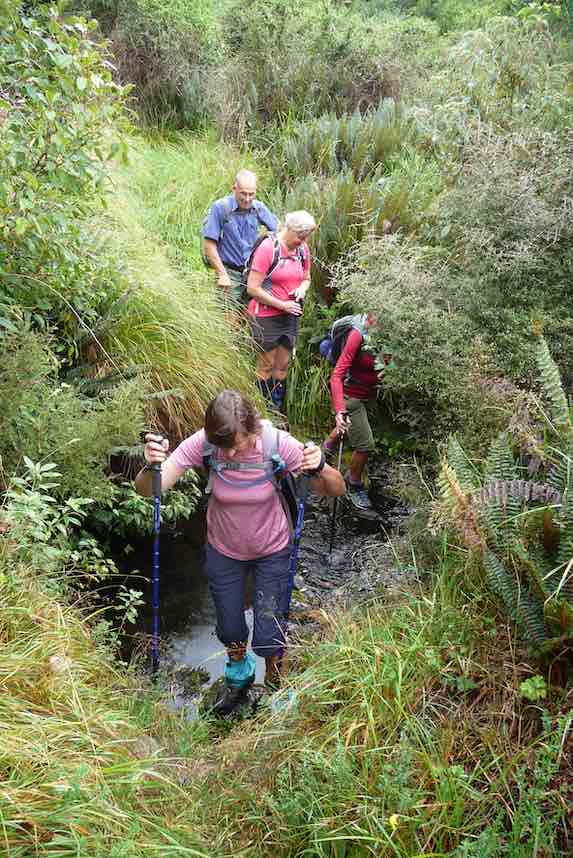
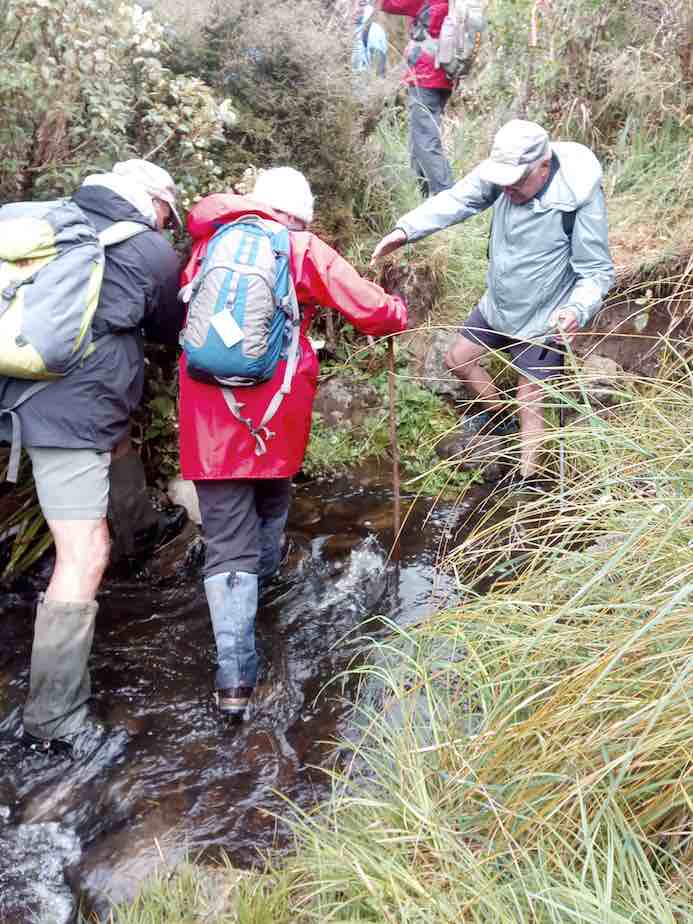
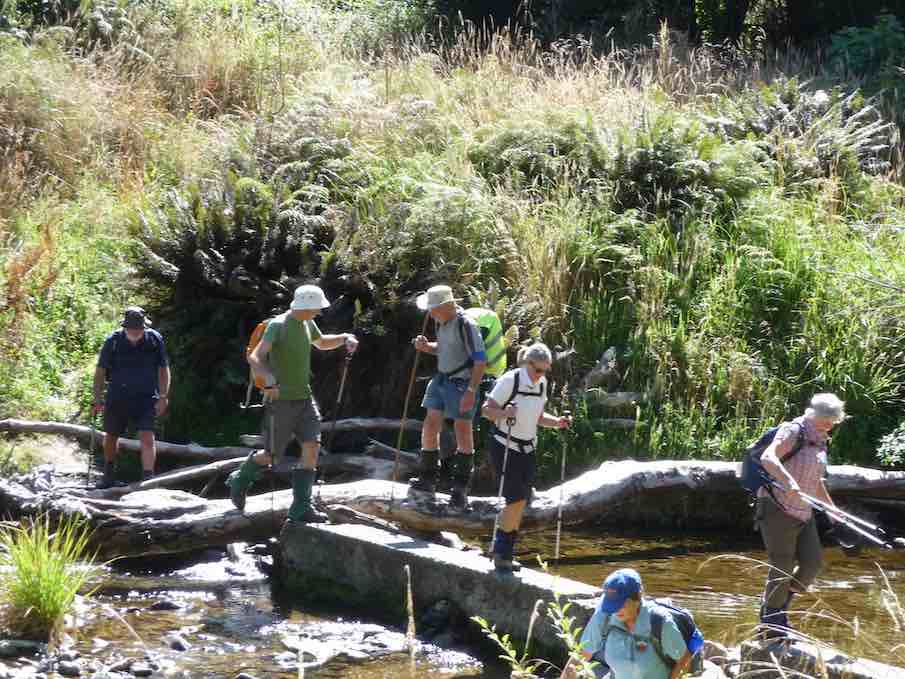
We had to cross Cave creek a couple of times—cooling on the feet.
Nearing Jubilee hut. (Gordon pic and caption.)
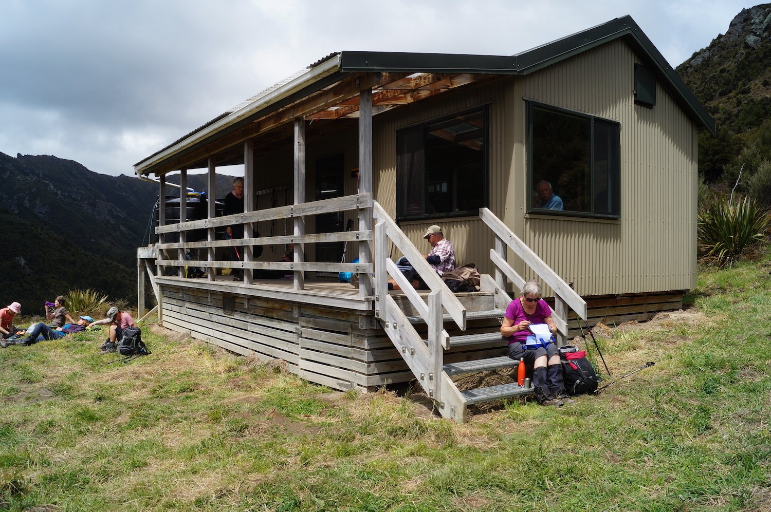
We arrived at Jubilee hut at 12:50pm. This 10 bed hut was built in 2007, some 300 meters up in a sunny spot with great views,
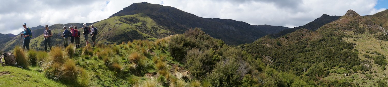
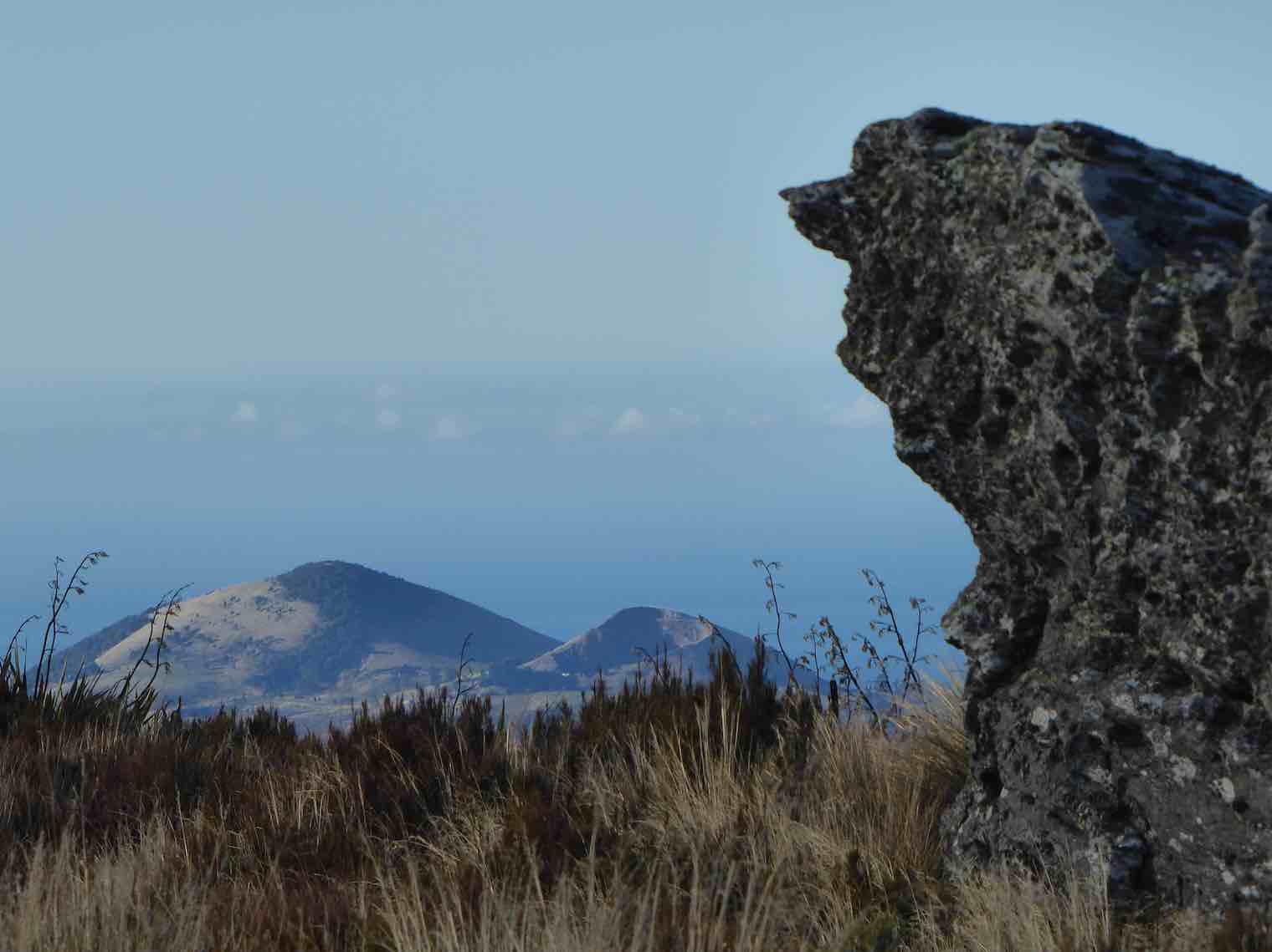
Panoramic view to admire. (John pic and caption.)
at about 600 metres. Staff and materials were flown in by helicopter (over 30 trips). Cost $70,000+. It is well used and just recently a booking system has been introduced.
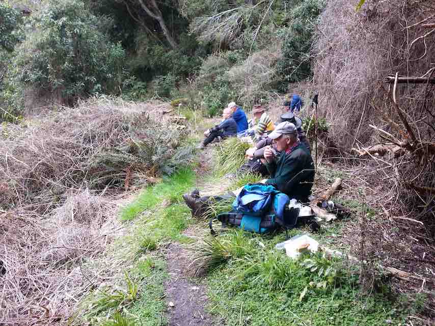
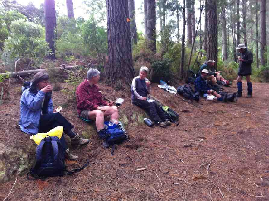
All enjoyed a leisurely lunch in the sun and hut
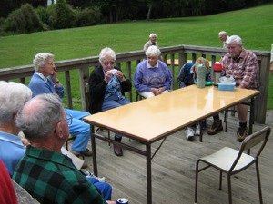
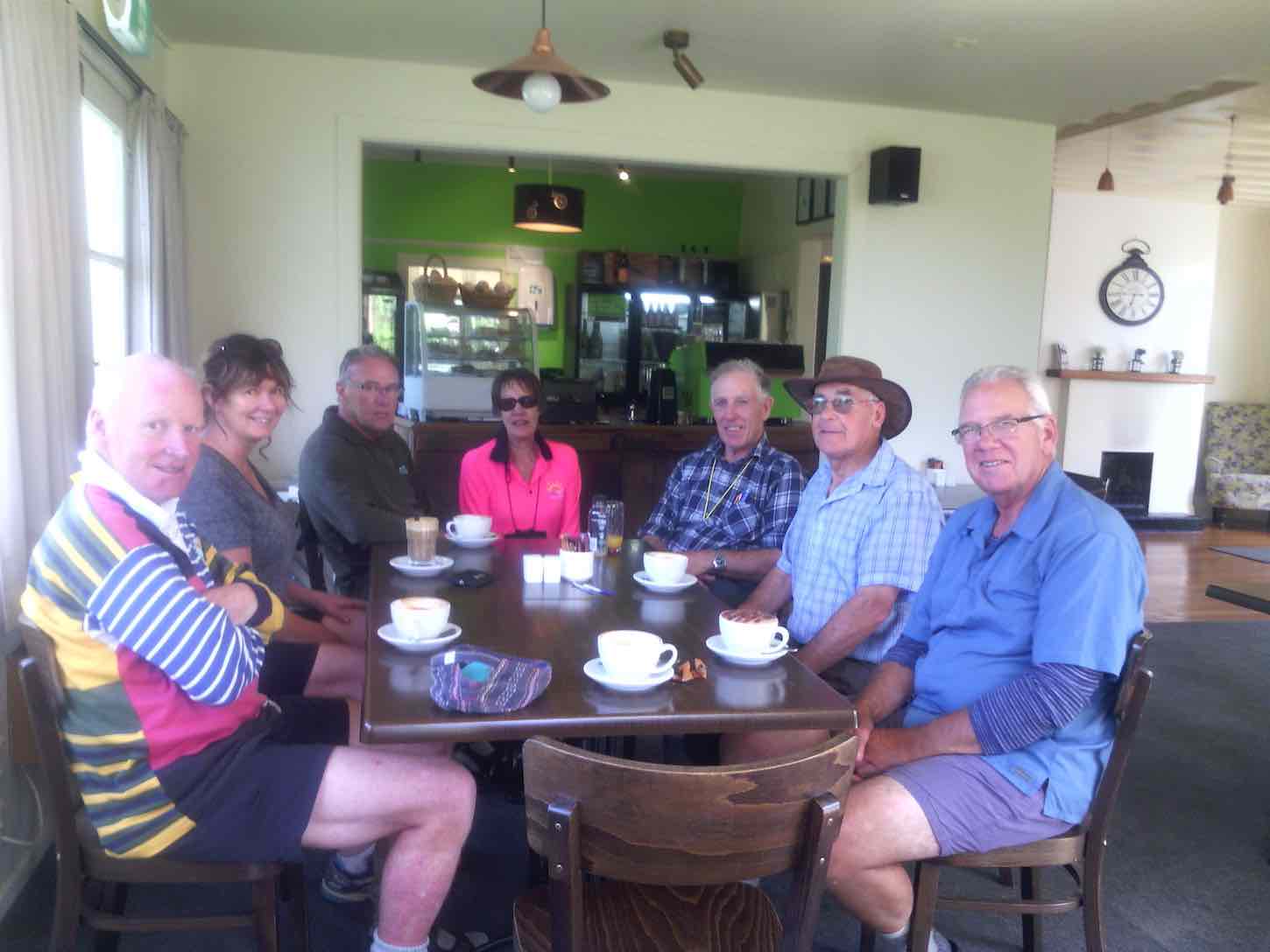
Lunch at Jubilee Hut. (John pic and captionSorry Heather ,I can’t find the delete button! (John. pic and caption.)
before heading back along the undulating track,
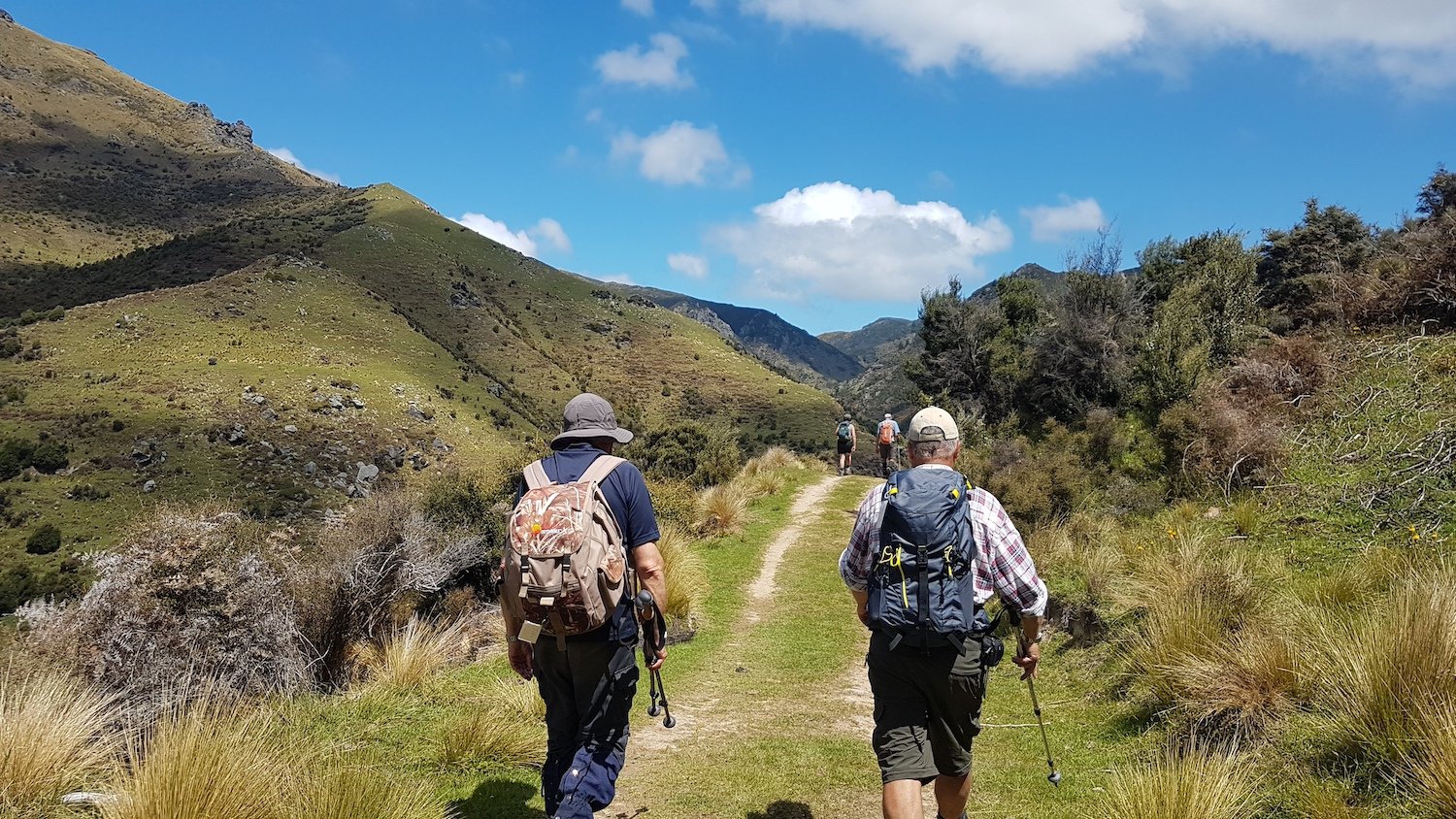
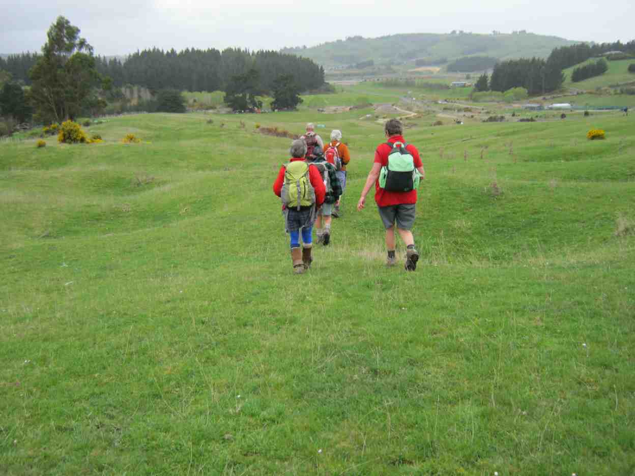
Heading to the finish. (Gordon pic and caption.)
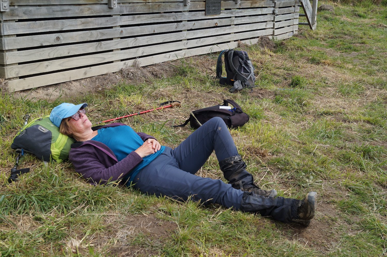
having rest/water stops along the way. The A team arrived back at 3:35pm, followed by B team at 4:00pm. Followed by an hour’s drive home.
This tramp was a new one for 18 members (1 driver wondered where he was going to end up). It was 2015 when 7 from the club were last there. So——-the 2 Leaders made mental note to self———Been there—Done that!!
Was a great way to spend the day In those very vast hills of Silverpeak Station, good company, good weather—-good life. – Eleanore and Arthur.
6. 11/3/2015. Trampers. Jubilee Hut from Silver Peaks Station.
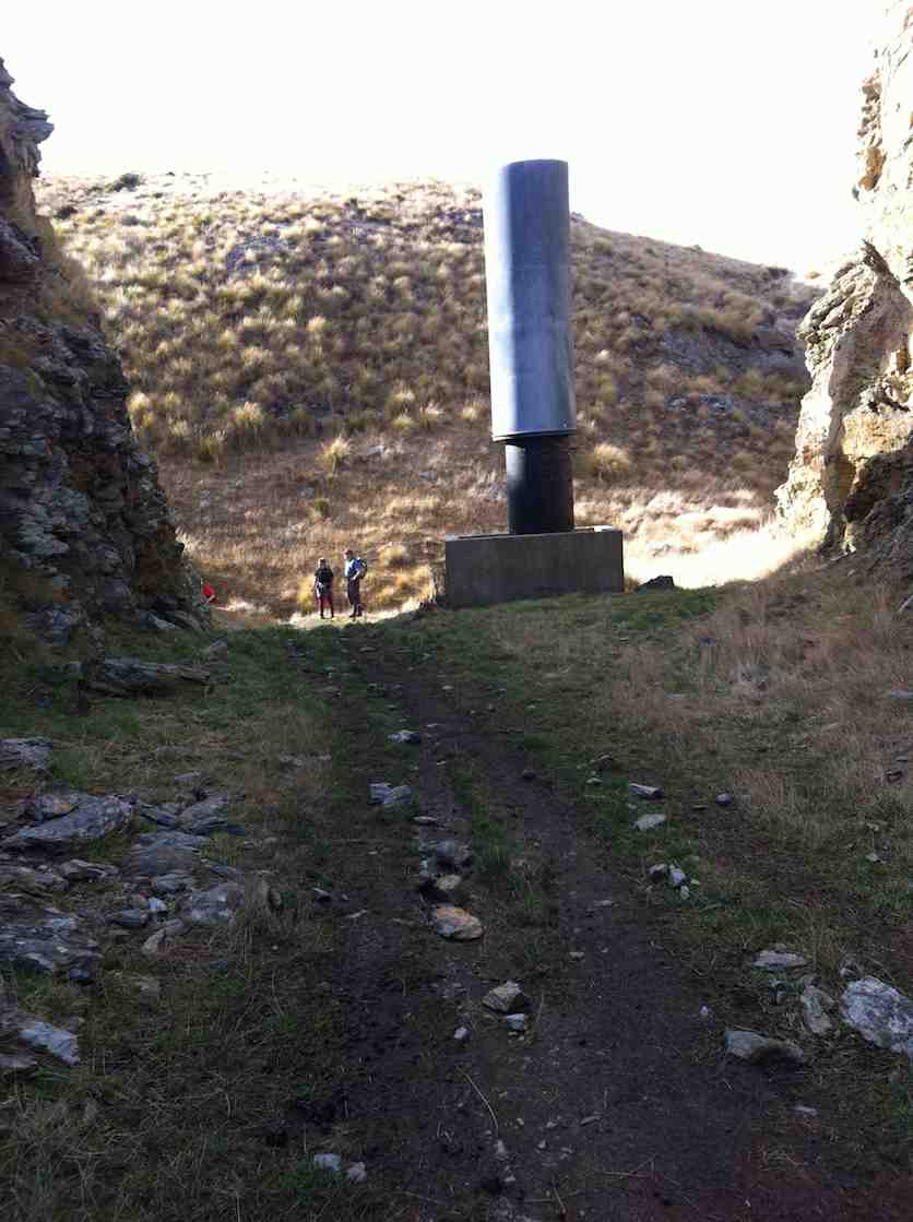
After a doubtful start to the day with quite heavy rain during the night, [I was worried about high creek levels] 7 hardy trampers turned up for the trip to Jubilee Hut via Silverpeaks Station. We arrived there just before morning tea time so set off along the track to find a spot to stop for morning tea. Then it was on to visit Orange Hut [Homestead Hut, Christmas Creek Hut, whatever you want to call it] having missed the turn off to go down to Cave creek, which has lost it’s large white plastic container that acted as a marker for the start of the track. We then backtracked a bit to the track leading down to Cave Creek valley, & made our way over a few more creek crossings & up to Jubilee Hut for lunch.
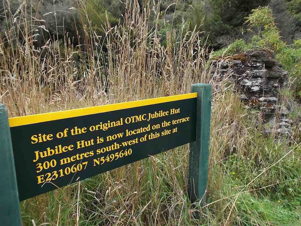
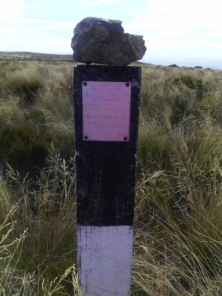
Two of the party had their lunch on the track about 10 mins from the hut, & one of them decided to walk back out again on their own, thinking we would catch up with them later. After lunch, we went down to the creek from the hut, & Ian [being the fittest] was voted by me, to go & photograph the sign at the old Jubilee Hut site,…
Sign at site of old Jubilee Hut (Ian pic, Ken caption)
…so we would know what it said. Then it was back along the track retracing our morning steps. When we got to the top track again, I decided that I needed to attend to a sore patch developing on my left foot, so Ian & I stopped while I attended to that. Just as I was finishing, we heard somebody calling out from nearby, & the next thing the person who had set off on their own appeared looking rather worried [lost !!] they had not noticed the sharp LH turn onto the track leading back to Silverpeaks Station homestead, & had instead gone straight ahead along the track towards Orange Hut. We pointed them in the correct direction, & they set off with what I would imagine was some relief. Shortly after this we all met up again into one group, & set off to our next adventure !
One party member while crossing the Christmas Creek where it doubles back on itself, slipped on a rock, & very slowly, & not so gracefully, first put a hand down to steady themselves, but that didn’t work, so they ended up sitting in the creek. [Oh I wish I had my camera handy !!] So this guaranteed a wet walk back to the cars for this person, but they did dry out rather quickly I think.
The rest of the walk out was very uneventful, compared to earlier happenings, & we all arrived back at the cars safe & well. We arrived back at Mosgiel about 5pm from memory.
Something we learnt today was :
1: We MUST stay together better as a group, or one day somebody will get properly lost.
2: Walking poles are handy for crossing creeks, even if you don’t think you need them!!
We walked 16km
3.8km/hr ave.
Climbed 876mtrs.
Max elev. 426mtrs.
– Ken.
5. 12/2/2014. Trampers. Three Huts.
Distance to Jubilee Hut without going to Christmas Creek Hut =15.75km
Add on another 1 1/2 – 2 km for the extra distance to Christmas Creek Hut.
Walking time = 4hrs 25min; Moving Ave = 3.6km/hr; Total ascent = 919 mtrs.
7 hardy souls turned up at 8:30 on a wet misty day at the Mosgiel car-park to go to Silverpeaks Station for our tramp to Mt. John Hut/Christmas Creek Hut/Jubilee Hut.
It was good to see that the ones going on the Motatapu trip were carrying their large tramping packs filled with a bit more weight than they would normally carry.
It took an hour to drive to the starting point, & as it was not looking brilliant weather wise, we decided against going up to Mt. John Hut, & proceeded along the track a bit further for morning tea break. The double crossing of Christmas creek was done without mishap, & we continued on to the turn-off to Cave creek valley.
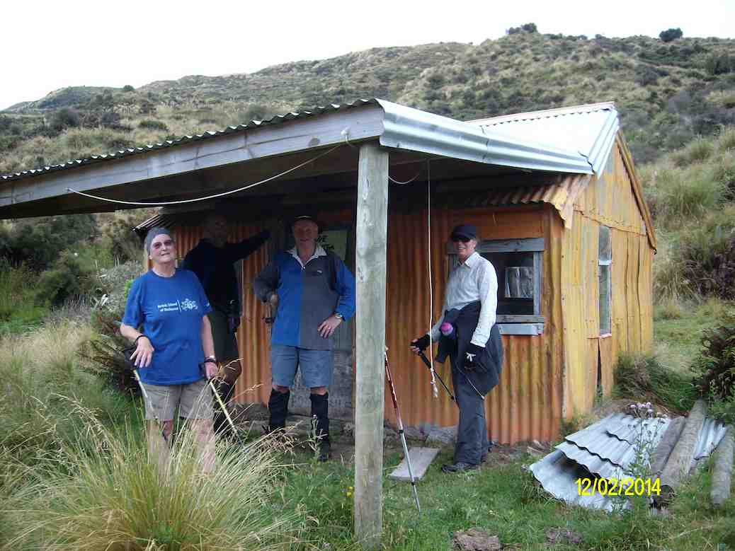
Most of us dropped our packs here & carried on to Christmas Creek Hut, [which is also know as Homestead Hut, & Orange Hut.] …
Some of the party at Orange Hut, also known as Homestead Hut, and Christmas Creek Hut. (Ken pic and caption)
… before returning & heading down to Cave Creek & the walk up the valley to Jubilee Hut.
The track above the boundary gate is getting badly overgrown with bracken fern, but it is still relatively easy going, but we got rather wet from the knees down as the scrub was holding water from the rain showers.
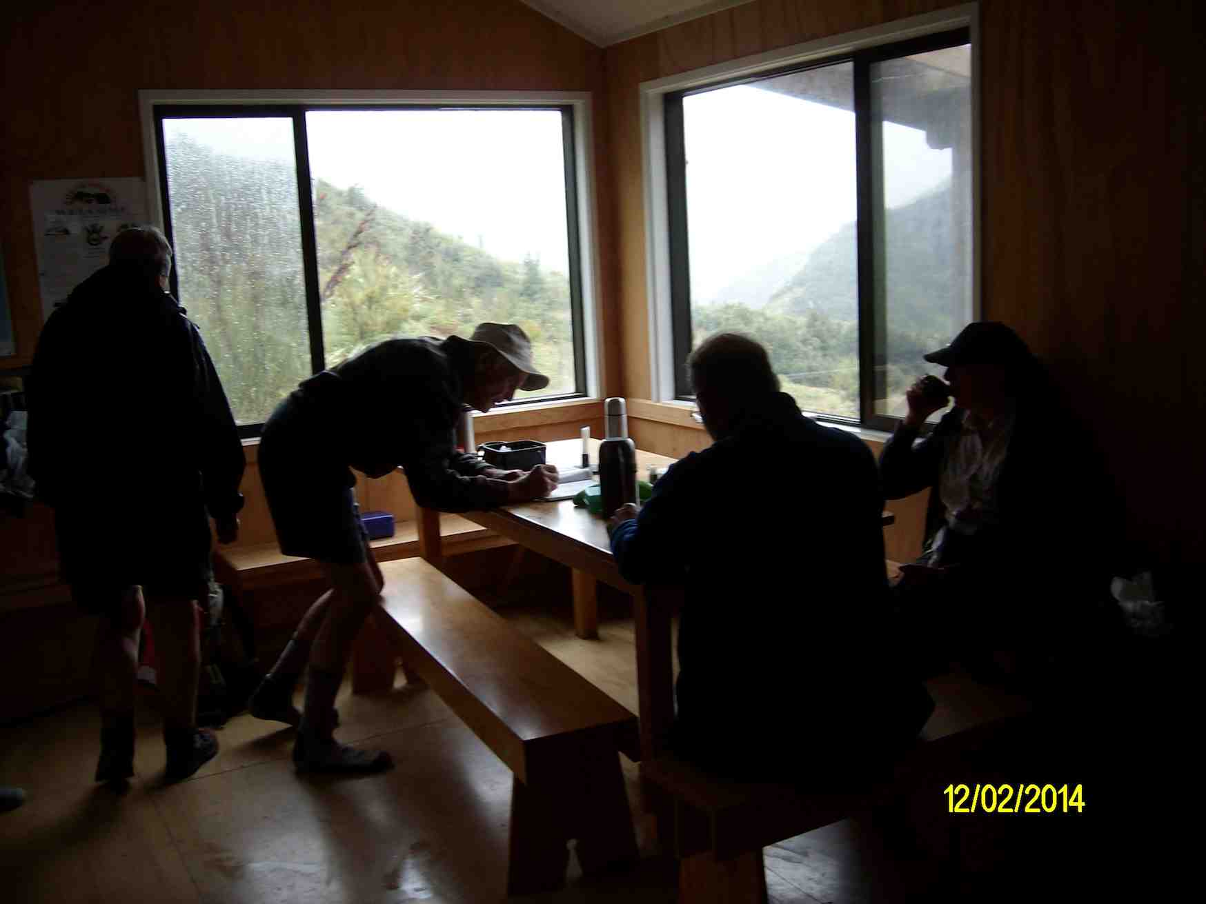
Up to this point we had only worn our rain jackets for a short time, during a light shower, but as we approached Jubilee Hut the rain drops started appearing again, so we managed to get to the hut before the weather let loose with a heavy shower which continued right through our lunch break, & beyond.
George writing in the Jubilee Hut visitors book. Note the inclement weather through the window. (Ken pic and caption)
After finishing lunch, we were all sitting around wondering how much longer the heavy rain was going to last, when it started to ease, & the visibility improved enough so we could look back down valley & see Christmas Creek Hut, so we decided to put on wet weather gear again, & start heading back to the cars.
By the time we got to the end of the Cave Creek valley, the rain had ceased, so it was off with the wet weather gear again. The only problems with the Cave Creek crossings were some wet feet, & Ken landing on his butt after stepping on a slippery rock. Just as well he had on his waterproof leggings, or he would’ve got a wet butt, as well as one boot full of water.
We made it back to the cars before the approaching rain, which we had seen coming some time before, & had a wet ride all the way back home.
There were some very tired trampers at the end of the day, they were not used to carrying the bigger packs with more weight in them, however, it was a good opportunity to ‘shake-down’ the equipment. – Ken
4. 15/5/2013. Trampers. Mount John Hut and Beyond.
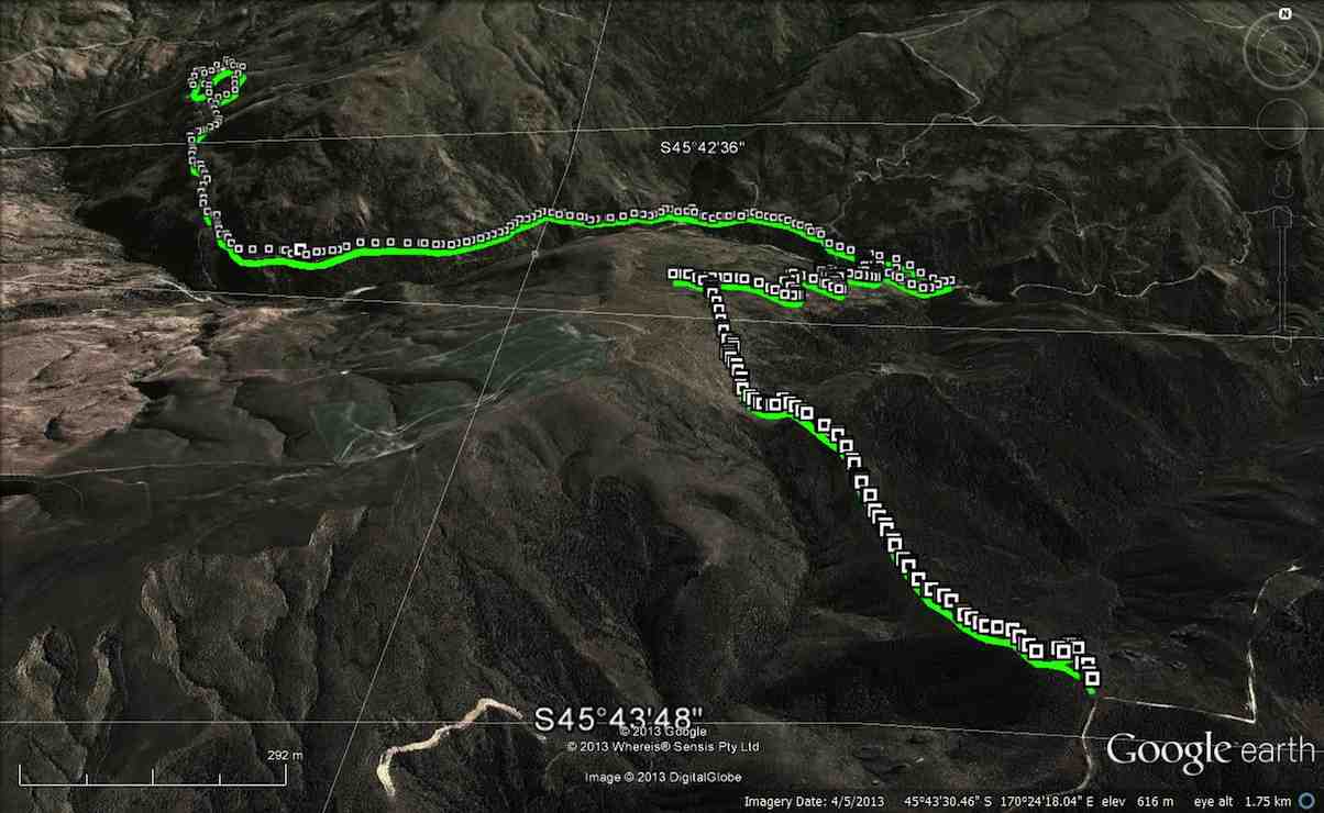
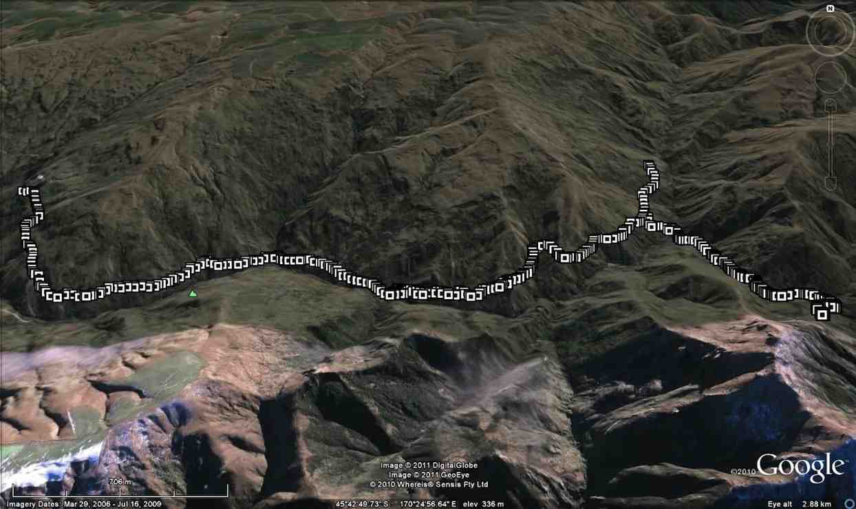
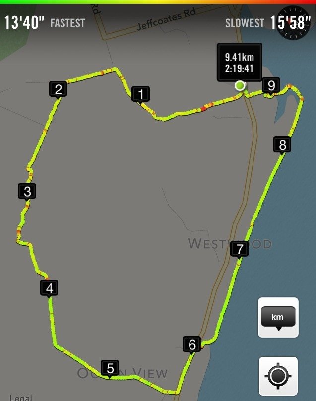
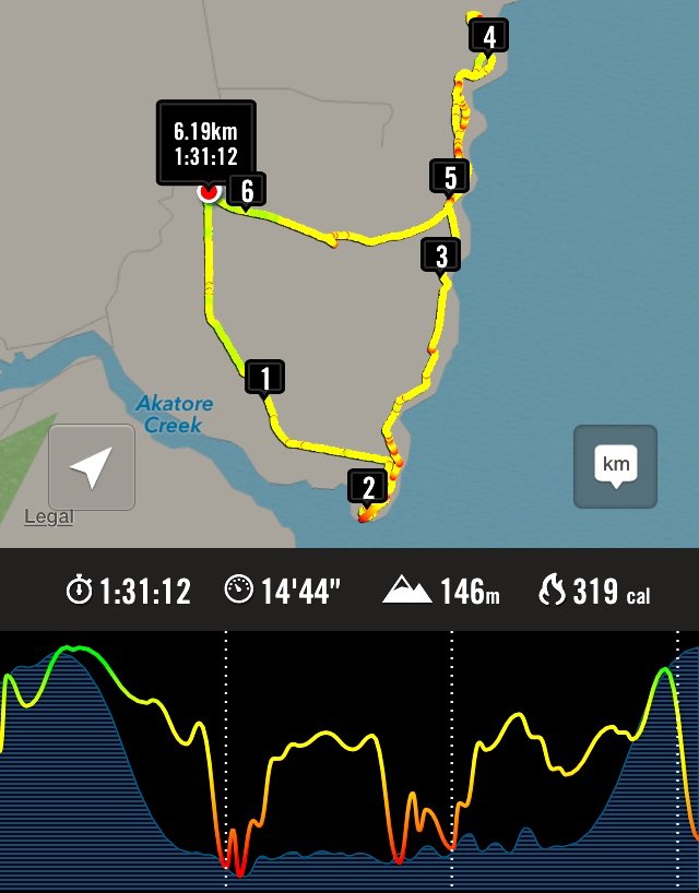
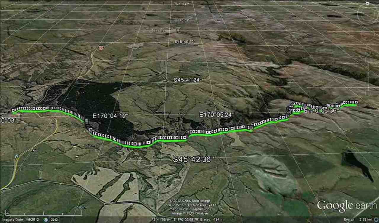
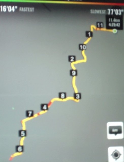
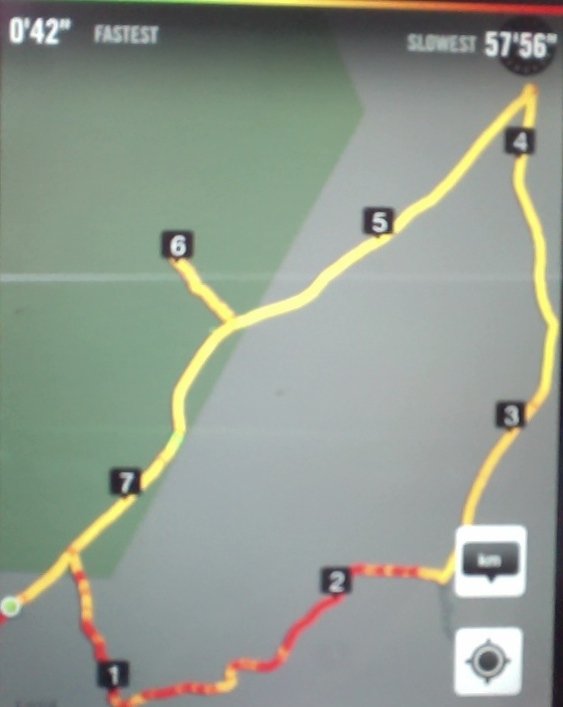
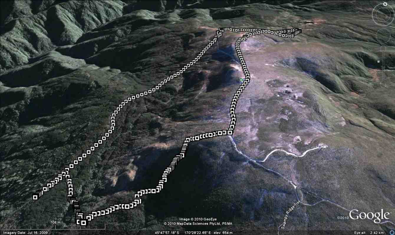
Route of tramp, courtesy Ken. We walked 13.5km, 4km/hr ave. 3h 22m moving. Climbed 814m !!! Max elev. 652m
The day started at 8:30 from Mosgiel carpark, with a very misty/foggy outlook on the Taieri, but we were hopeful that it would be clearer inland. When we were about 3/4 of the way to Hindon, the fog/mist just disappeared, & we were looking at quite a nice day.
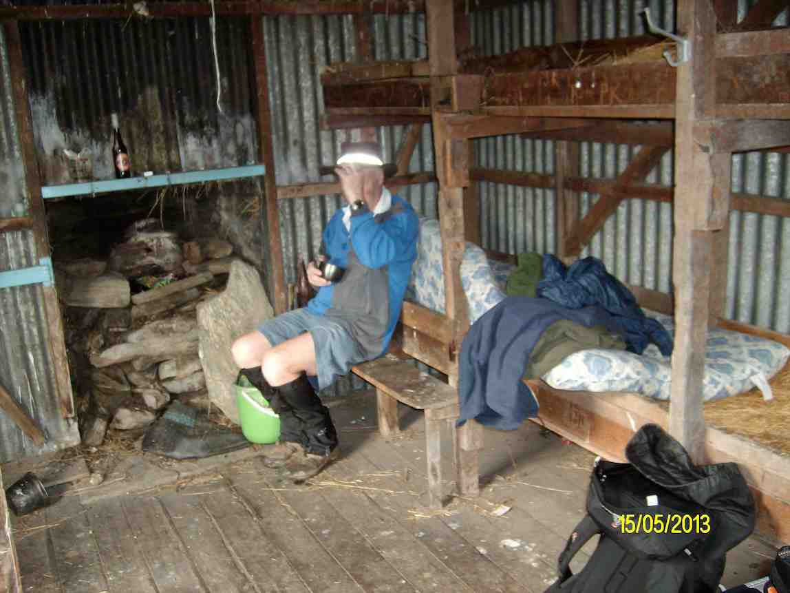
We arrived at Silverpeaks station at 9:30. & set off towards Mt. John Hut where we had morning tea, & examined the log entries carved into the woodwork of the hut. [There is no log book in the hut.]
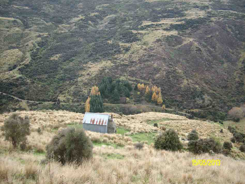
Morning tea at Mt John Hut. (Ken pic and caption)Looking back down at Mt John Hut and Christmas Creek (Ken pic and caption)
After leaving the hut we made our way up the track towards the top of Mt. John, but we took a wrong turn, which led us off to the NE side of Mt. John. However as it was already 12:30 when we reached the top, we decided to have lunch in the sun, & admire the views in all directions.
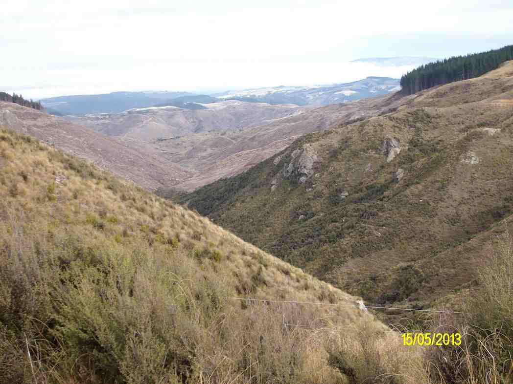
Wenita wasteland from our lunch stop. (Ken pic and caption)
We then retraced our steps back to the car, & arrived back in Mosgiel at 4:00pm.
Climbing Mt. John was a bit of a grunt at times, & only suitable for the fitter members. If we had gone to our original destination of Popular Hut, that would’ve been another 3hrs or more walking. [Estimate], & it’s a long climb back up again!!! – Ken
3. 5/1/2011. Trampers. Orange and Jubilee Huts from Silver Peaks Station.
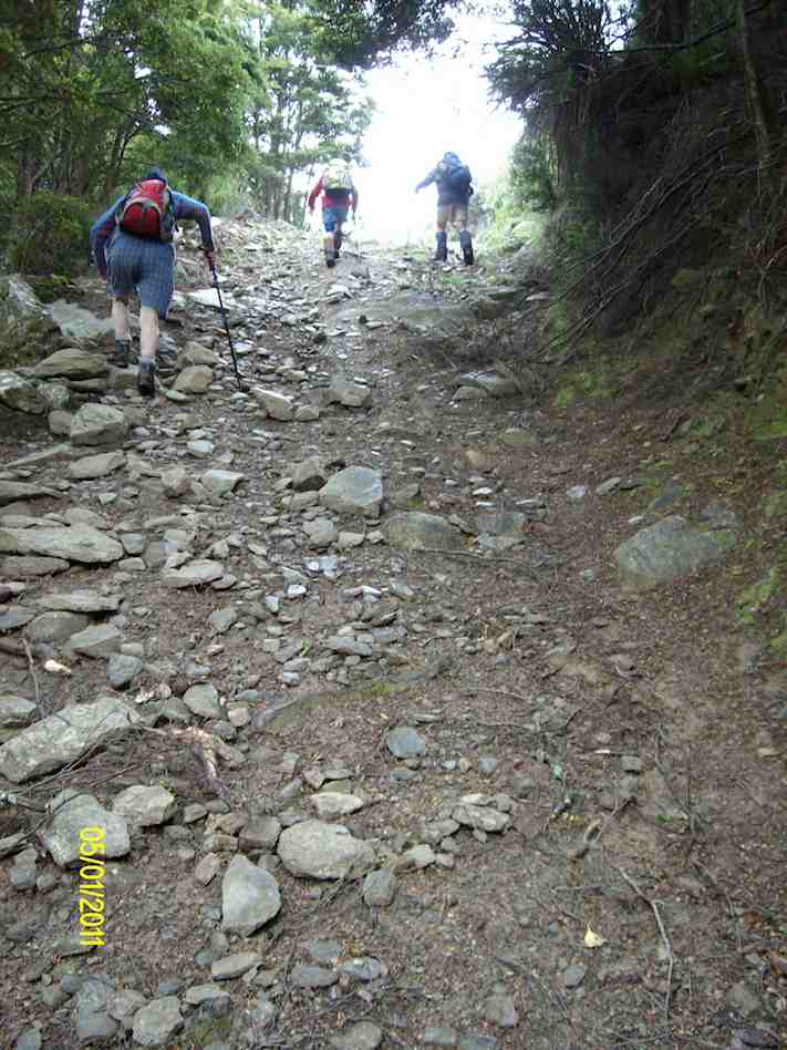
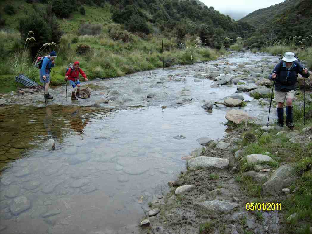
16 -17km, including side trip to Christmas Creek Hut. Numerous creek crossings. If the creeks are high, you will get wet feet.
A reasonably hard 8-9 hr. day if you include travelling and break stops. Fortunately, 4WD road along Christmas Creek true right largely follows contour line with relatively short ups and downs.
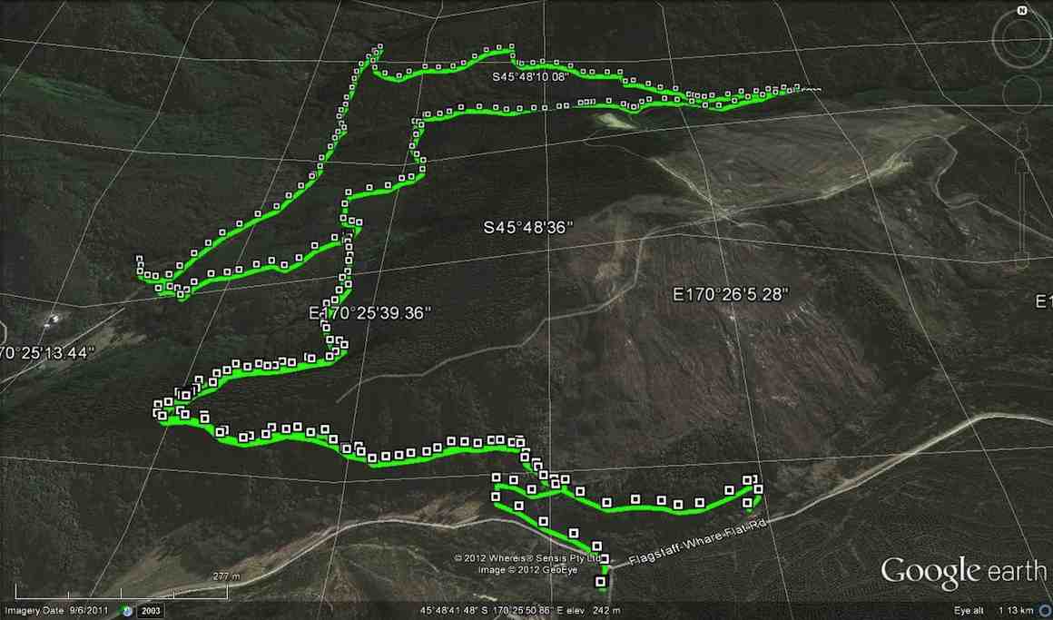
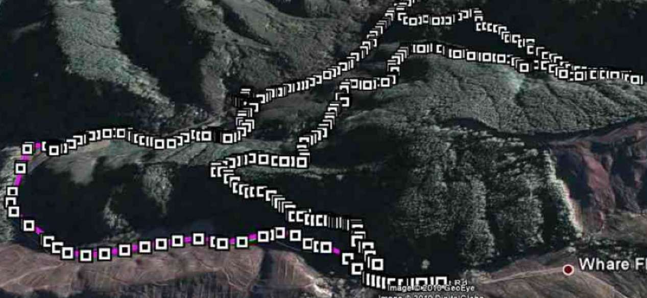
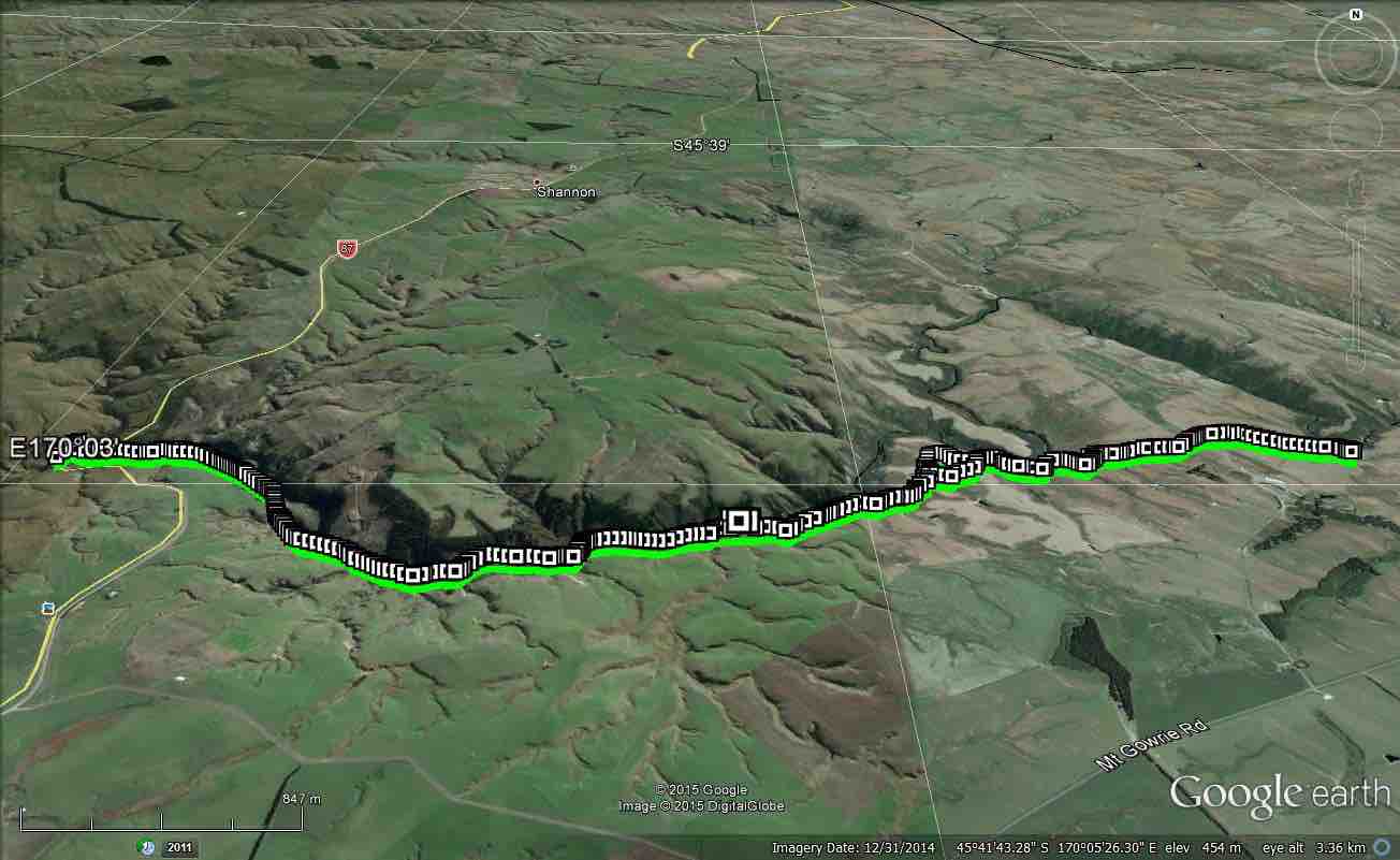
GPS of routes Homestead/Christmas Creek/Orange Hut (left fork) and Jubilee Hut. (Courtesy Ken)
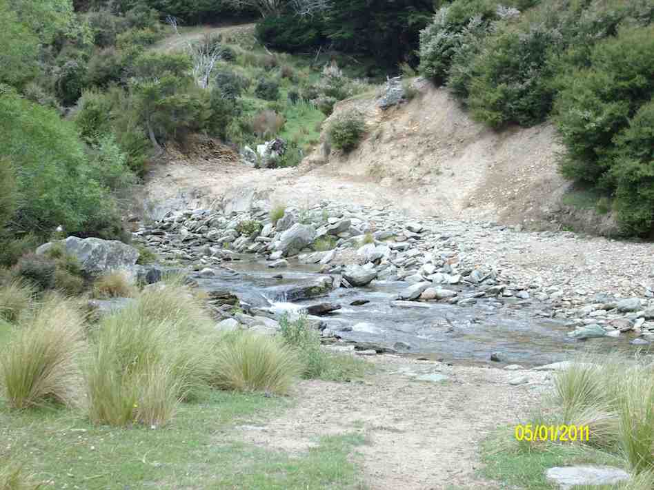
Double ford on Christmas Creek. 2nd out of sight. Dry detour to left if water high. (Ken pic)
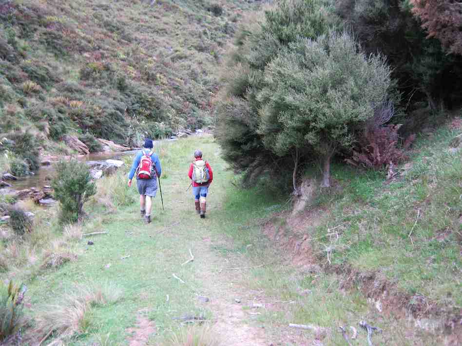
Track beside Cave Creek.
Track washout. Cave Creek. (Ken pic)
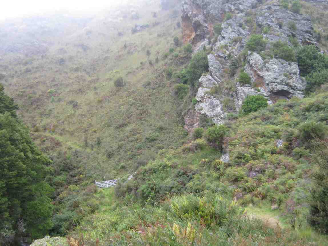
Gate on track up Cave Creek. Heavy bracken overgrowth in places.
Sign indicating ABC Cave to right, Mountain Rd car park to left, and 100m (seemed much longer!) up to Jubilee Hut,
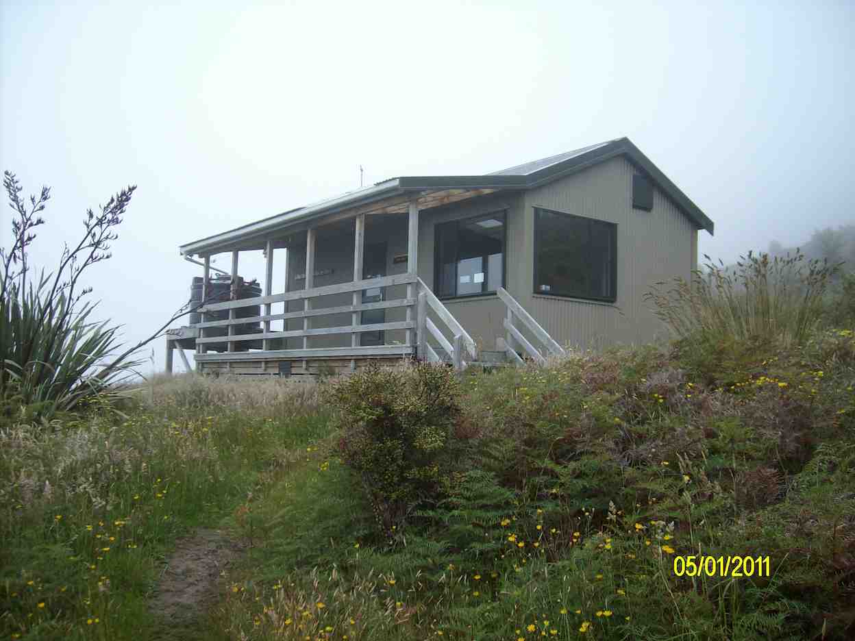
Jubilee Hut. (Ken pic)
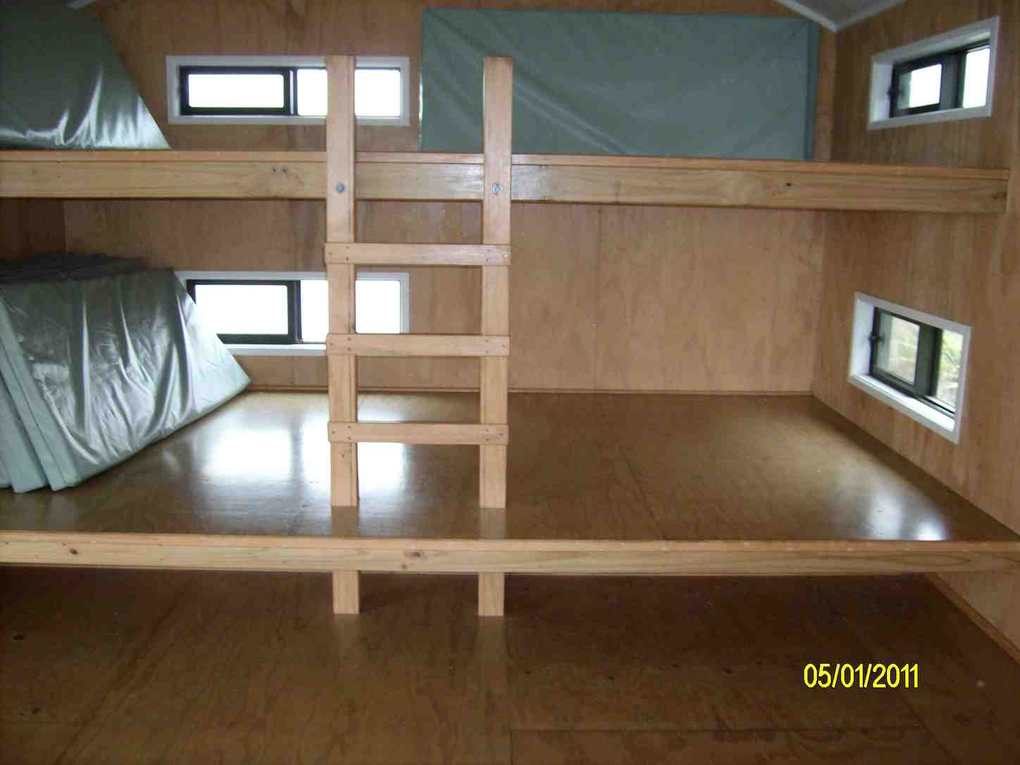
Bunks inside Jubilee Hut. (Ken pic)
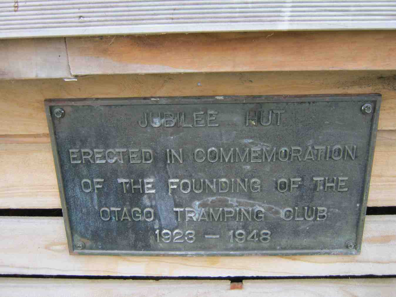
Plaque
Steep Climb out of Cave Creek crossing. (Ken pic)
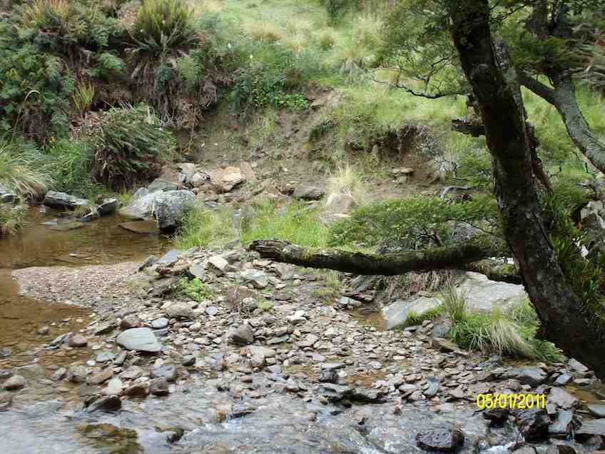
Crossing Christmas Creek on emerging from Cave Creek gully (Ken pic)
2. 29/12/2010. Orange/Homestead/Christmas Creek Hut from Silver Peaks Station. -‘ recce’.
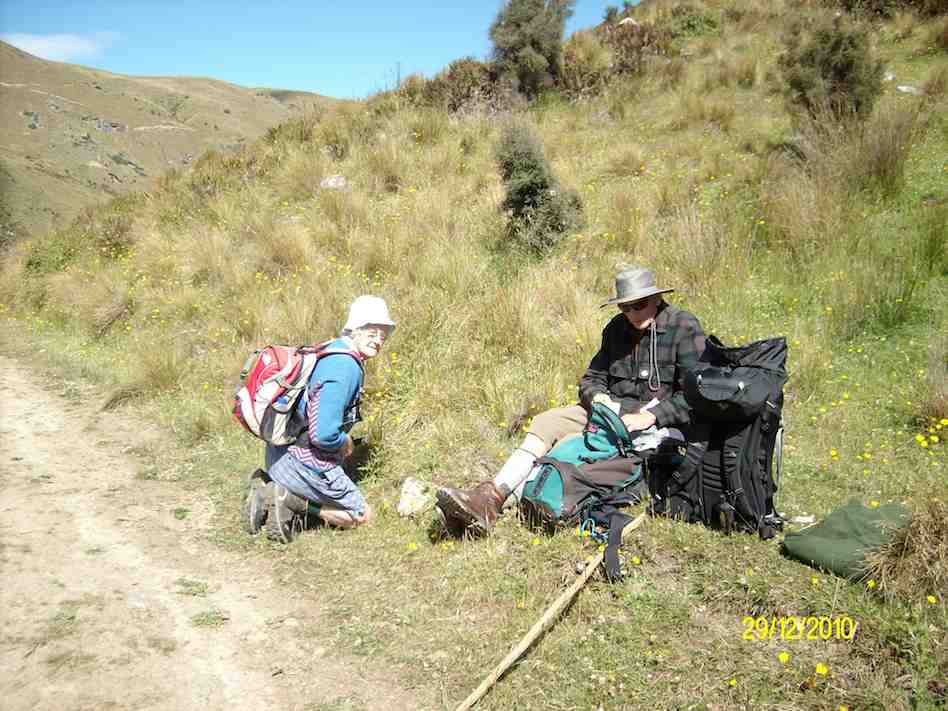
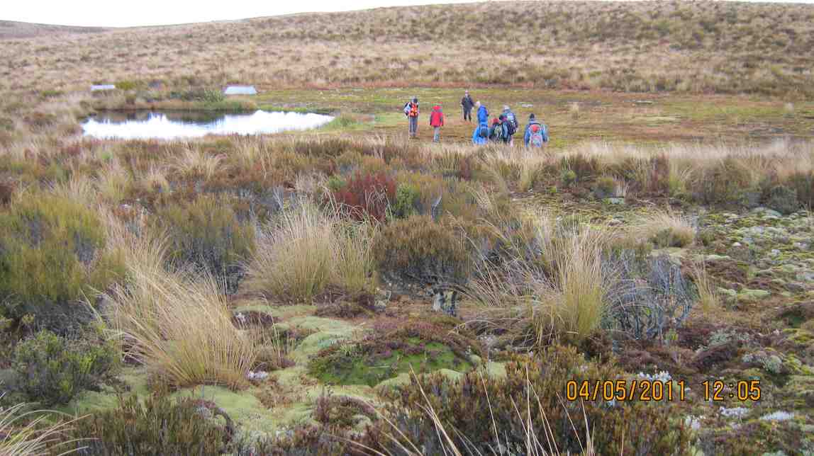
Morning Tea stop on ‘recce’. (Ken pic)
Jubilee Hut from Homestead Hut. (Ken pic)
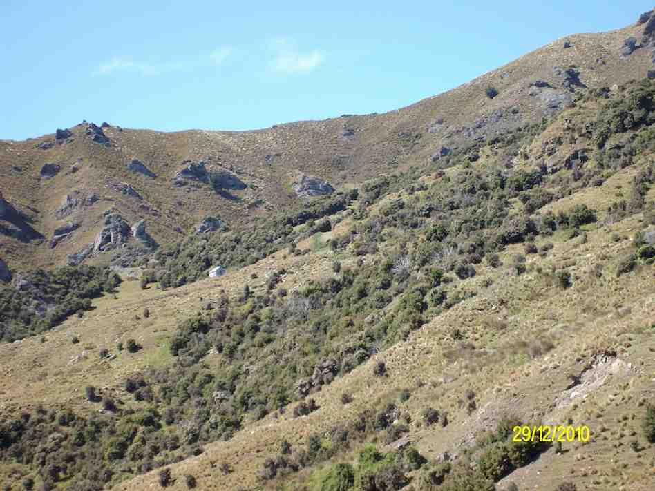
Mount John Private Hut, Silver Peaks Station. (Ken pic)
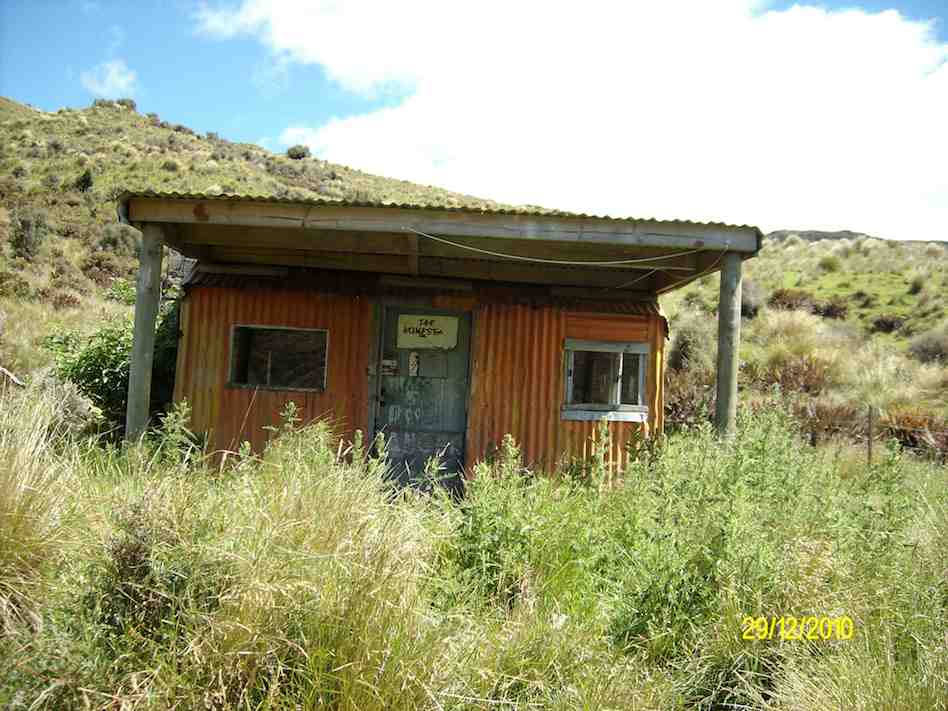
Homestead/Christmas Creek/Orange Hut. (Ken pic)
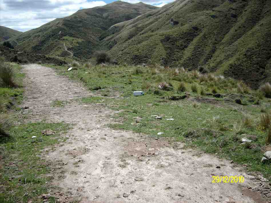
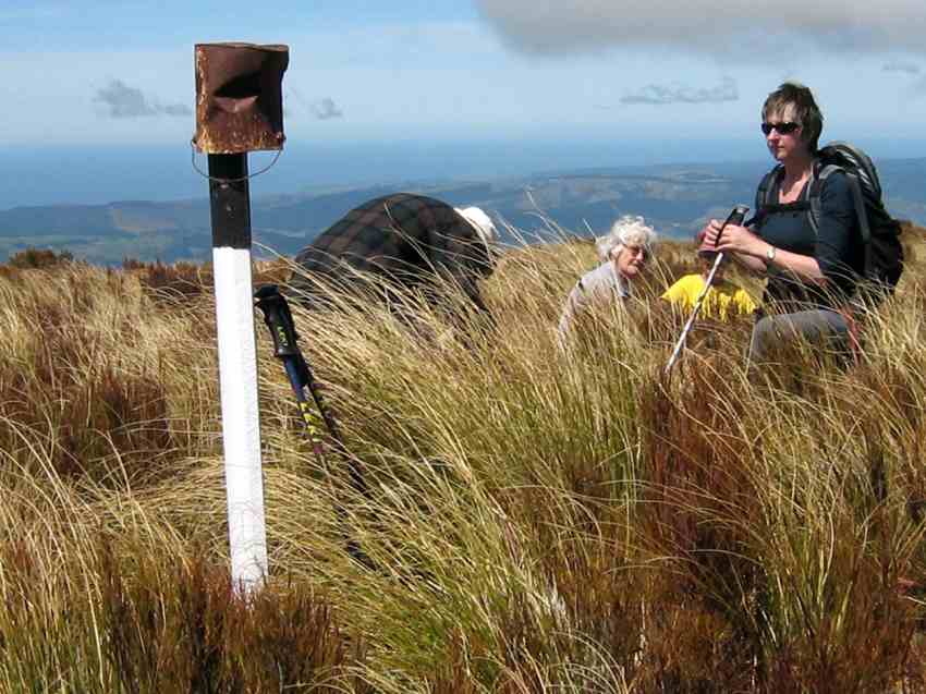
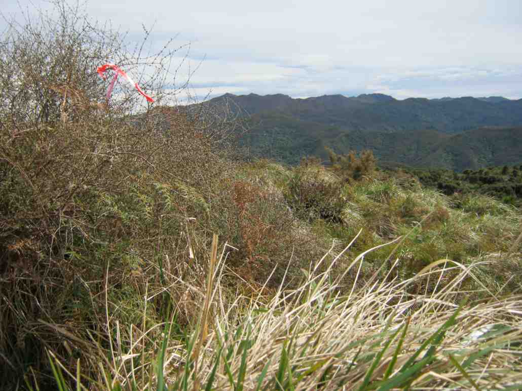
Plastic jerry can marker at top of track forking right to Jubilee Hut. (Ken pic)
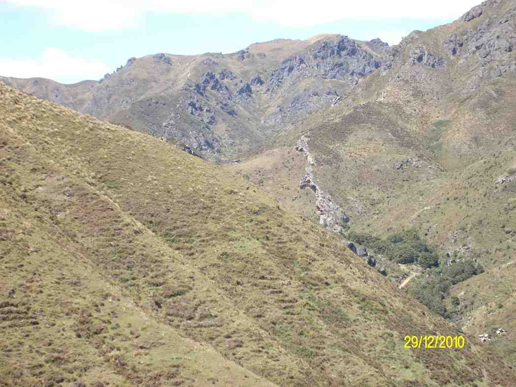
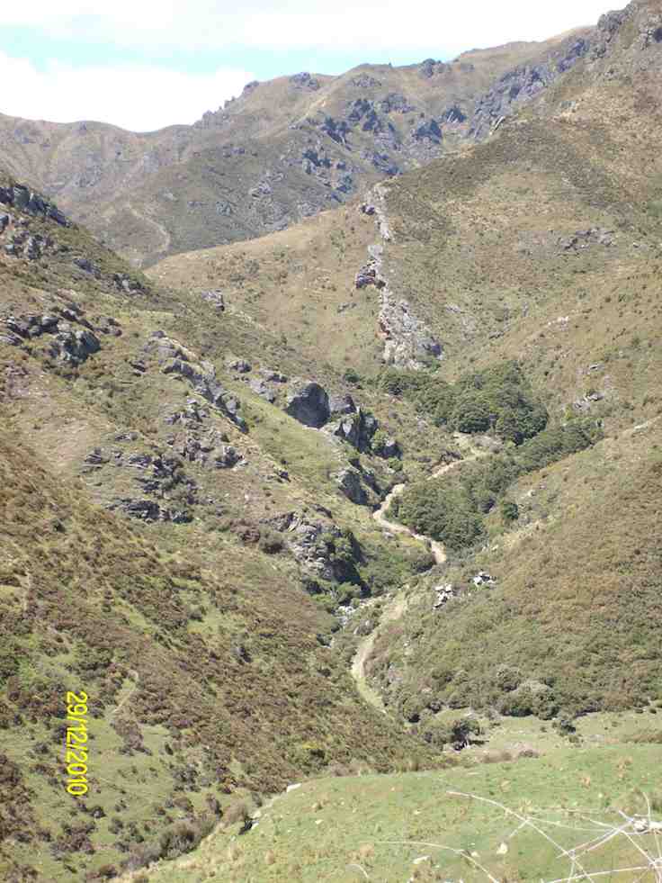
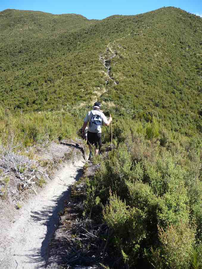
Track to Jubilee Hut. Devil’s Staircase in background upper left. (Ken pic)
1. 24/3/1999. Jubilee Hut and return. Leaders: Les & Margaret, Bev H
[No. 7 on old hardcopy list of 113 club tramps. “Creamery Rd. Ocean View. C Hughes. Farm. Lambing.”
Not during lambing September to October.
USE STILE AT END OF CREAMERY ROAD.
No. 84 on old hardcopy list of 113 club tramps. “Taieri View (Blairs) (East Taieri) Farm”
No. 104 on old hardcopy list of 113 club tramps. “Old Brighton Rd – Clevelands – Saddle Hill (See George Haggie) Farm”]
42. 14/10/2020. Trampers. Leaders: Jill Dodd and Peter Gillespie
If we were to believe the weather forecast for Wednesday, some people would have been deterred by the gale force winds, rain and snow down to about 400m but no, 15 hardy trampers set off from the carpark by the bridge on Stage Coach Rd. We walked up to Saddle Hill Rd in the full force of a very strong south west wind. Even though we had amazing views over the Taieri plains and beyond it was hard to find a slightly sheltered spot at the lookout for morning tea . Carrying on past Jaffreys hill to Scurr road where we descended to Ronganui (place of the soul) the property of Colin Mackintosh and Marjorie Orr, who escorted us through their property .
Photo and Caption Wendy – “Colin McIntosh and Marjorie Orr”
This is a little hidden treasure. A QE11 Covenent area on the east side of Saddle Hill. There is 20 hectares of regenerating native coastal forest Totara, Rimu, Kahikatea, Miro, Matau and Kanuka.
Photo and Caption Wendy – “Natives everywhere”.
Another 20 hectares of liquorice all sorts – a collection of exotic trees – Eucalyptus species, Macrocarpa, Californian Redwood, Tasmanian Blackwood and Pinus Radiata.
Bird song was all around us as we traversed the tracks and bridges meandering the property. This is all maintained by the owners who are the guardians of the land.
Photo and Caption Sarah – “The walk through the bush was special.”
The previous owner had done the planting of the exotics and the little stream the Murray River named after him.(His wife was a member of our tramping club -Eleanor Watt)
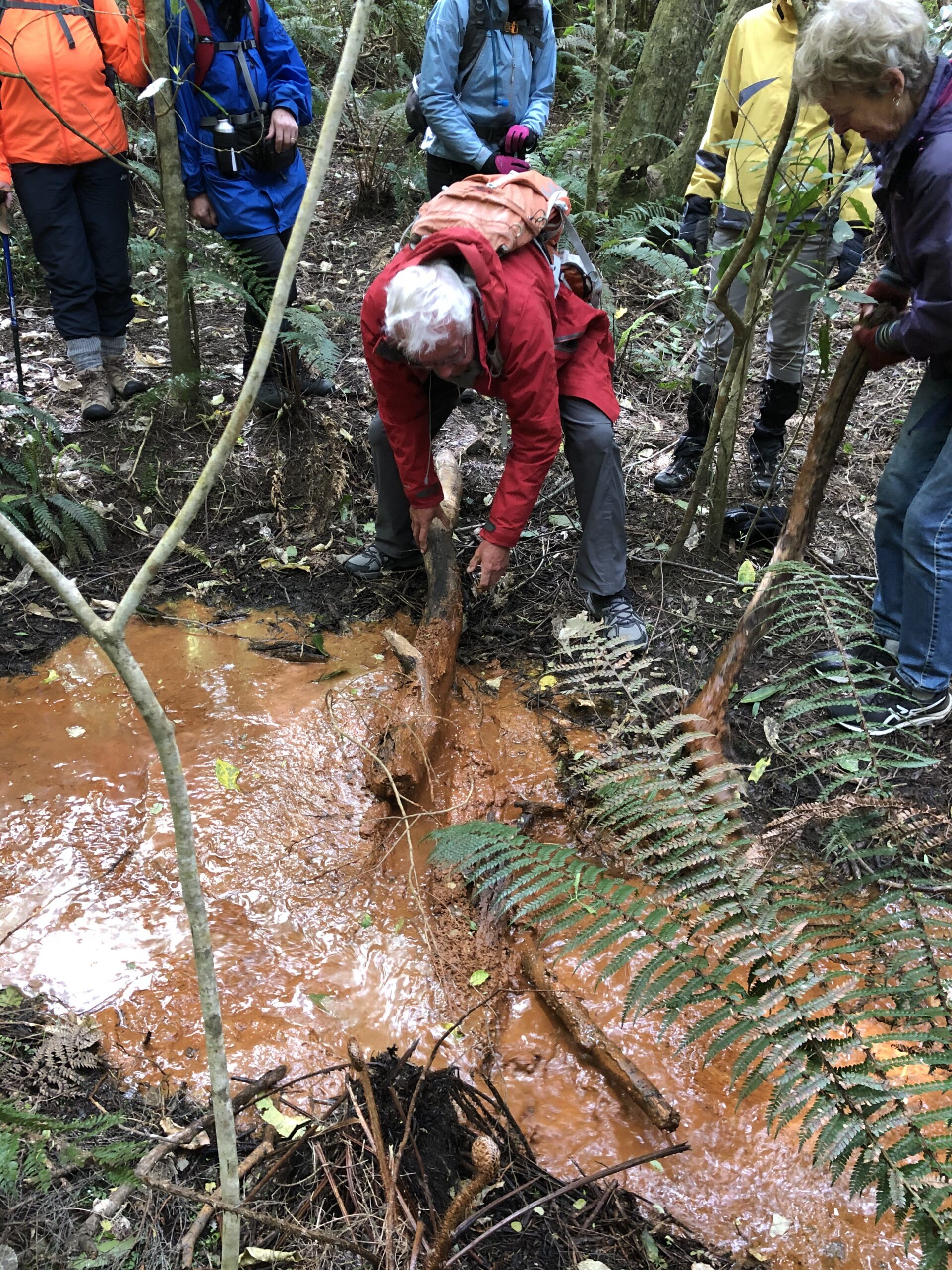
The stream was a very vivid orange colour and when Dave broke the dam! (of a couple of sturdy branches) the water movement was quite sluggish and gel like.
Photo and Caption Wendy – “Dave removing the dam.”
It is an iron ore residue from the now disused coal mines that are on the hillside .
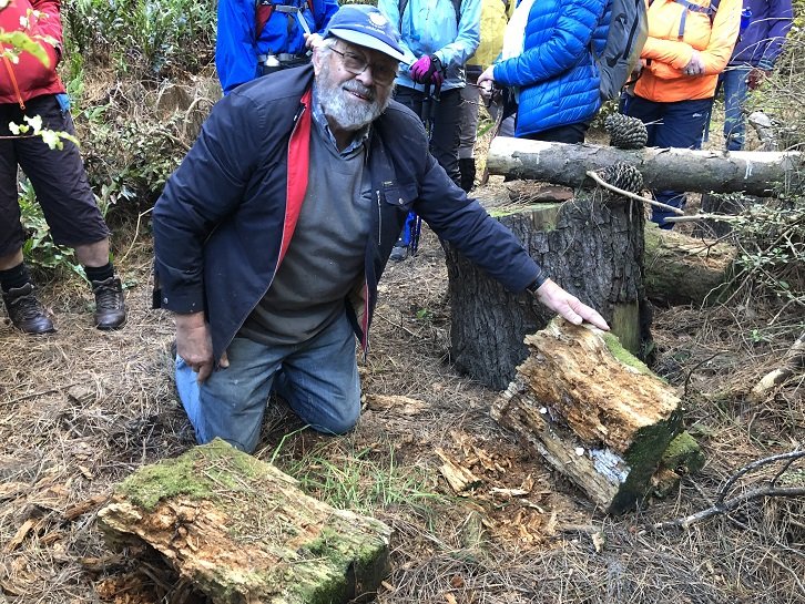
A real surprise for us all was when Colin dug into an old rotten log where he finally found a Peripatus a living ancient velvet worm like creature. These worms have been around for 500 million years and found throughout NZ.
Photo and Caption Wendy – “Finding peripatus in old logs.”
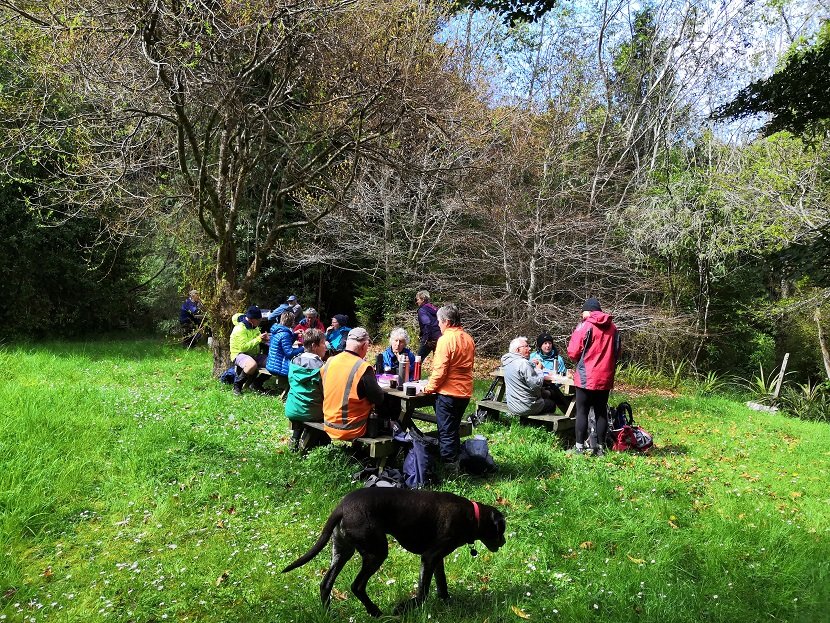
These slightly blueish insignificant small creatures with 15 pairs of legs and 2 front antennae exist in this undisturbed environment but had created much excitement with the researchers at the museum when 1st found here. Lunch in the forest at a designated picnic area so very sheltered we were oblivious to the outside world.
Photo and Caption Sarah – “Lunch in a designated spot”.
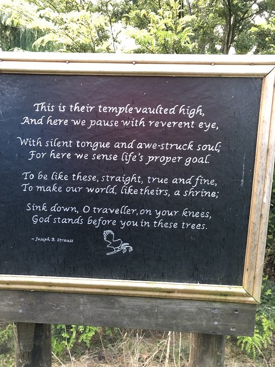
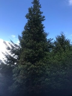
The walk concluded by reading a poem, dedicated to the greatness of trees, and looking at the 30year old kauri tree.
Photo and Caption Wendy – “The poem”.
Photo and Caption Jill – “The 30 year old kauri tree.”
Photo and Caption Wendy – “Outstanding views!”
There was a car shuttle back to the bridge but we probably tramped about 14 kms and the rain (apart from a quick shower) stayed away till after we had our coffee and debrief at Blend. Only a week late from the expected visit of Judith Collins and her team and they still had cheese rolls in the cabinet!
An interesting day shared by some very passionate landowners so close to home.
41. 16/3/2019. Hikers. Saddle Hill. Leaders: Bob and Jenny.
Today was my 1st official time at being “the Tail end Charlie” with fluro jacket.
I’m often at the back but not with a fluro.. there were 21 hikers and our 3 lovely ramblers. I think I got the numbers right???
We met in a paddock in McMasters Road. I presume Bob had permission?
The hike up the Saddle was the one that the Rotary had done as a fundraiser for the Mosgiel Pool. We had morning tea at the entrance to the scrub area,after which we climbed up a stoney track.It was good workout for us all. We came out to a clearing with fabulous views of wonderful coast line. Quite a few minutes were taken to enjoy and then we carried on up to the top for a photo shoot.
(Alex photo.)
More panoramic views were taken in before we went down the hill,out of the cool breeze, and had a leisurely lunch looking out over the Taieri. We then wandered down the hill and out onto Saddlehill Road and back to the cars. Coffee was at the Village Green. Thanks Bob. – Jenny.
40. 19/9/2018. Trampers. Saddle Hill circuit. Leader: Eleanor.
On a very warm spring morning 14 trampers set off from Quarry road and walked up Coal Stage and Saddle Hill roads then down McMaster road. Enjoying a great display of Kowhai in full bloom, also a mix of blossom and animals along the way. One member recalls riding horses as a girl on a property we passed.
Just the best Kowhai forest around. (Phil pic and caption.)
We enjoyed smoko break overlooking the ocean. At this point with the sun shining brightly upon us, we decided to do an add on.
Welcome morning tea break after earlier start. (Gordon pic and caption.)
Turning onto Old Brighton road we headed to Fairfield, then crossed over to Flower street walked up the couple of hills crossing a stile into the water tank paddock. Once again (on both sides of the rather steep stile) with more great views, lunch and chatting was enjoyed.
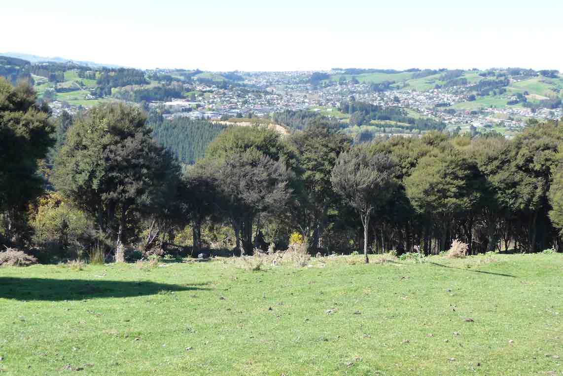
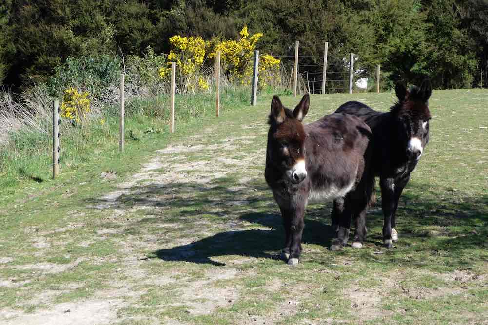
View of Kaikorai Valley from lunch. (Gordon pic and caption.)Donkeys on Chain Hill road. (Gordon pic and caption.)
We then walked along Chain Hill road and back down Quarry road to our cars.
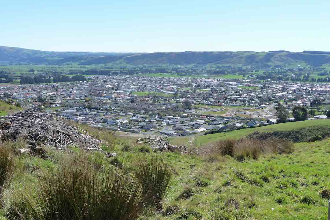
View of Mosgiel from overbridge. (Gordon pic and caption.)
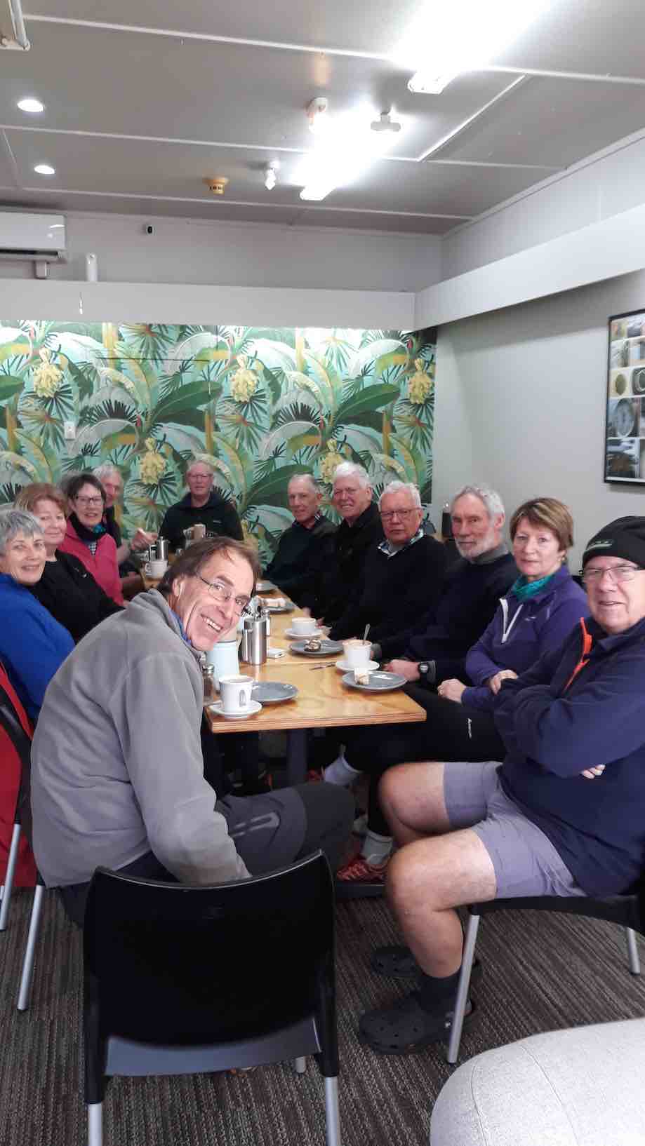
Blend was the chosen coffee shop, we enjoyed catching up with 2 members unable to tramp on the day.
We reckon we walked 15 km, give or take a little.
Great to be back out with such an enthusiastic group of friends.
– Cheers Eleanore
(12/2/2017.)
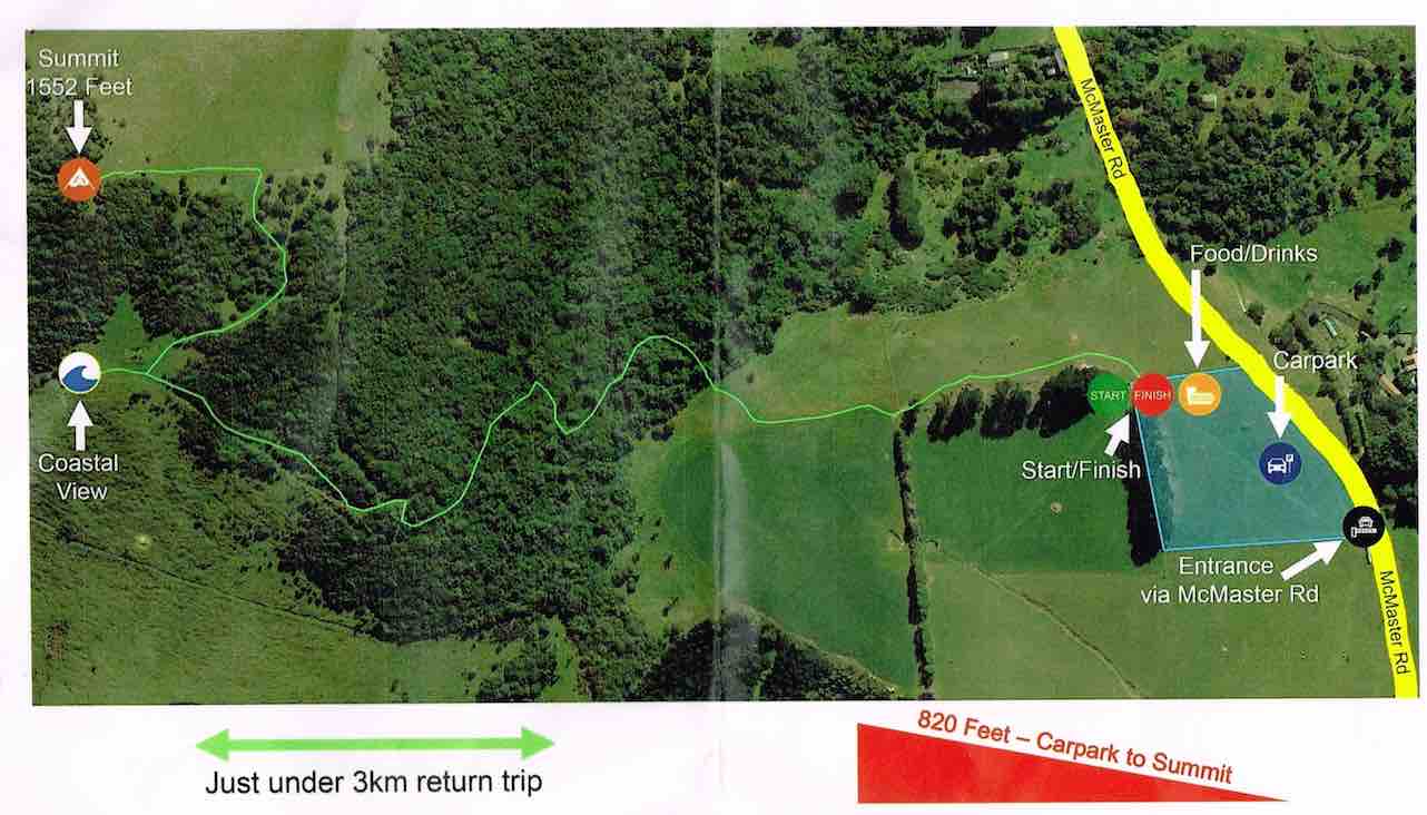
Route map
39. 6/4/2016. Both. A Circumnavigation of Saddle Hill, majoring on the seaward slopes. Leaders: Bob, Doug and Arthur.
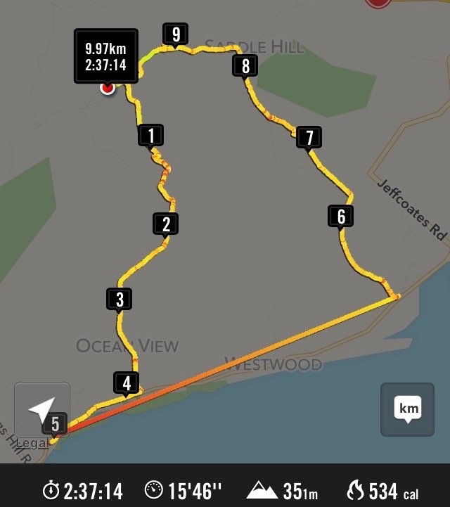
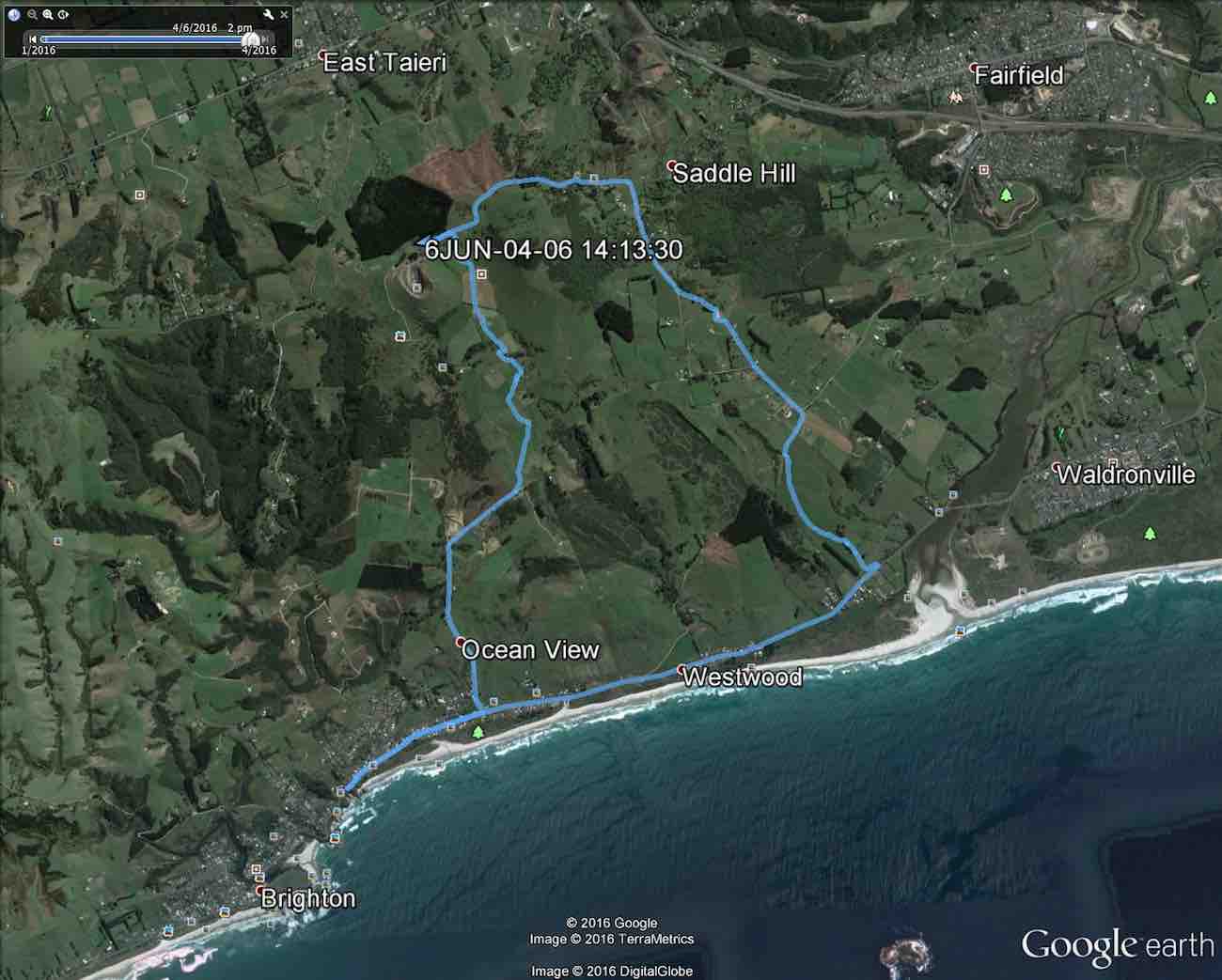
The Hikers took the bus, the Trampers, the beach.Apr 6 Tramp Saddle Hill 2016. … Distance not counting the bus travel 10.2 km. (Bruce pic and caption)
Trampers’ Report. Saddle Hill to the Sea. – Arthur.
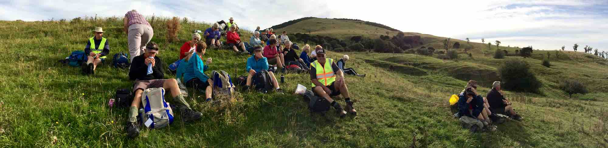
Being the first Wednesday of the month, this was a combined operation. Together with the Hikers, our group parked beside the wool-shed on Saddle Hill Road, before walking through the “Saddle” and down through farmland on the other side. Special thanks to the landowners for giving us permission to do so. A suitable spot was found at 10 o’clock for morning tea.
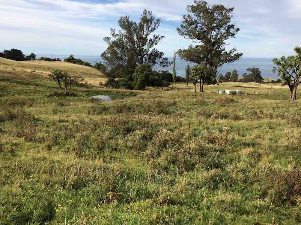
All twenty-seven of us at morning tea, part-way down the slope.The view from our morning tea spot.
The two groups then split, with the Trampers forging ahead, as they had further to walk. We had 8 trampers now, and it was noticed that the 2 men were outnumbered by the ladies.
Continuing down through the sheep farm we climbed a style out on to Creamery Road. Going down the road now, we could view several lifestyle blocks with new houses on them. At the bottom of the hill a large contractor’s yard had obviously had much money spent on it.
Contractor’s Yard
We arrived down at the main road to Brighton at Ocean View. After a short walk along the road we were able to gain access to the beach at the car-park (Freedom Campers spot). Good use of the facilities here was made for a comfort stop.
The tide was well out, just beginning to come back in, allowing us to walk on good firm sand for several kilometres. Other people were making use of the beach too – walking, exercising dogs and especially horses.
The Kaikorai Stream was closed to the sea, allowing us to return to the road on the Waldronville side, past the Pistol Shooting Club. The walk along the beach took a neat hour. We found a suitable lunch stop beside the car park at the road.
The Trampers’ lunch spot. (Helen pic)
From there we had to walk across the bridge and along the road a short distance. It was a little difficult climbing through a fence back onto farmland – several comments were made at this time about some not being as young as they used to be!
Trampers. A fence scramble. (Helen pic)
With the Green Park Cemetery on our left we had a very pleasant uphill walk through the large field, but with one especially steep pinch, before squeezing around the end of a gate and out onto the Old Brighton Road – closed long ago by a large slip.
Along the Old Road and then up McMaster Road a short distance, before taking a short-cut through private property. A donkey brayed a welcome as we passed, and then the lady was gardening at the house.
Coming back onto McMaster Road, we found three of the Hikers talking to the man of the house at his mailbox. The road levelled off, and soon we were back to Saddle Hill Road where we caught up with the Hikers with about a kilometre to go.
There were good views from here of Mosgiel, …
Mosgiel from lookout.
… the Taieri and beyond. In fact we had great views all day on this tramp, and good weather to go with them.
Our combined tramp could not have been more successful, as both groups began and finished the day together.
A big thank-you to Bob for this. Everyone was back to the cars by 2.15 p.m. The Trampers covered a distance of about 14 km (estimated).
***** SAFE TRAMPING IS NO ACCIDENT *****
– Arthur.
Hikers’ Report.
As Arthur has covered most of the day’s main points, this need be only a supplementary one.
Where Creamery Road joins Brighton Road, various options emerged. Some drifted off: one had a car waiting for her, another walked to her home nearby, others shortened their walk by walking on the seaward side of the road to earlier catch the bus to Brighton and back. The remainder walked towards Brighton and waited at a convenient bus stop to catch the returning bus. The driver put on a mock-stern display, questioning our age entitlement and closely examining our Gold Cards. We had made his day, as we disported ourselves around his empty bus. From the Green Park Cemetery gates we made our way uphill behind the cemetery and were surprised (well, this reporter was) to see the beginnings of an eco-burial site of about twelve plots, aligned alongside a clump of bush, each plot planted with a native plant.
We lunched in a sheltered spot a little further on up the hill.
Hikers at lunch part way up hill.
…. Much further on, as we turned from McMaster Road into Saddle Hill Road, we were surprised and delighted to find ourselves caught up by the Trampers . The timing couldn’t have been better. Excellent planning, Bob. This has to have turned out the most rewarding “together-Tramp” yet! – Ian.
Cars parked at the southern entrance to the Green Park Cemetery. The leaders took us directly up through paddock from behind the cemetery, to swing right …
GPS of round route from Greenpark Cemetery south gate.
… and continue on
View en route. Blackhead (Liz pic)
Green Island
Another view en route. Green Island (Liz pic, using zoom lens, no doubt.)
to eventually reach the style at the top of Creamery Road. Down the road to the Brighton Road, north along here to drop of Bruce and Marjorie at the home and on to the Ocean View domain for lunch.
Out onto the beach and a long walk to arrive near the Kaikorai Estaury. Through sand hills, skirt estaury, through horse yards, out onto the Brighton Road, and back along to the cars.
37. 29/9/2010. Trampers. Saddle Hill from Old Brighton Road. Leaders: Keith and Glenis.
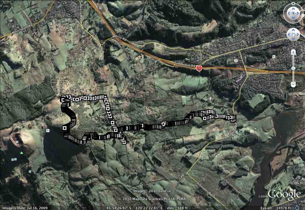
GPS Route Map, courtesy Ken.
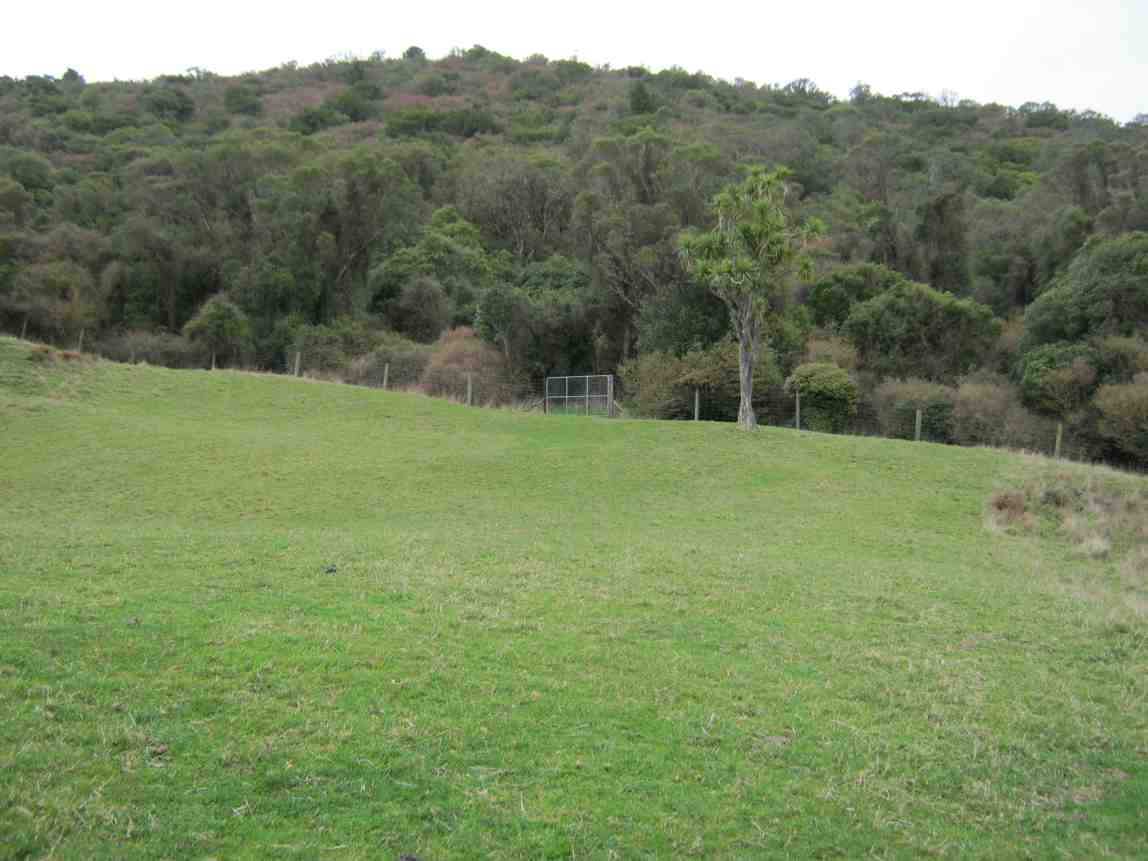
Eight of us set off over a paddock much hollowed with slumps betraying old coal mine workings, caused probably by wooden props long since rotted, up towards Saddle Hill. (See last pic below.) As we approached the bush ahead of us, we were glad to be able to follow a cleared track that wound up to our left, foregoing the former track we used to take to the right, now heavily infested with gorse. The track further up was well grassed, but just SO boggy and wet, although drier in places. One such place was ideal for an early morning tea.
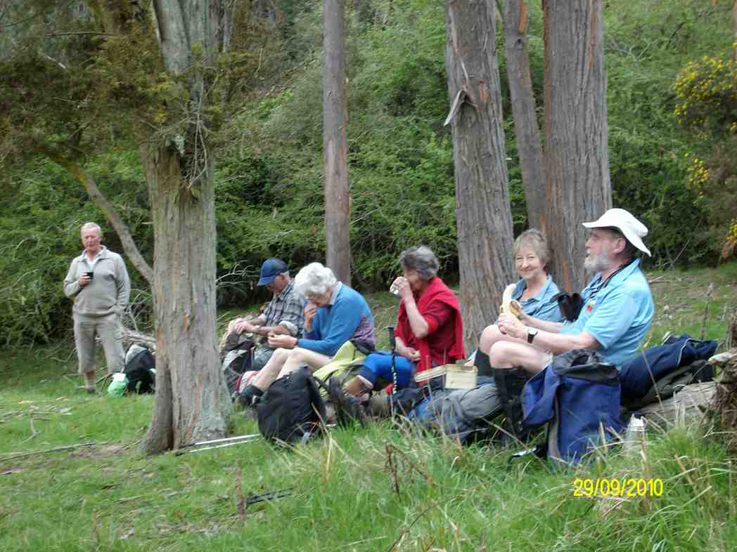
Morning Tea on log. (Ken pic)
On up through a second property and we crossed McMasters Road into a third property taking us up to the bush around Saddle Hill.
Bush track entrance.
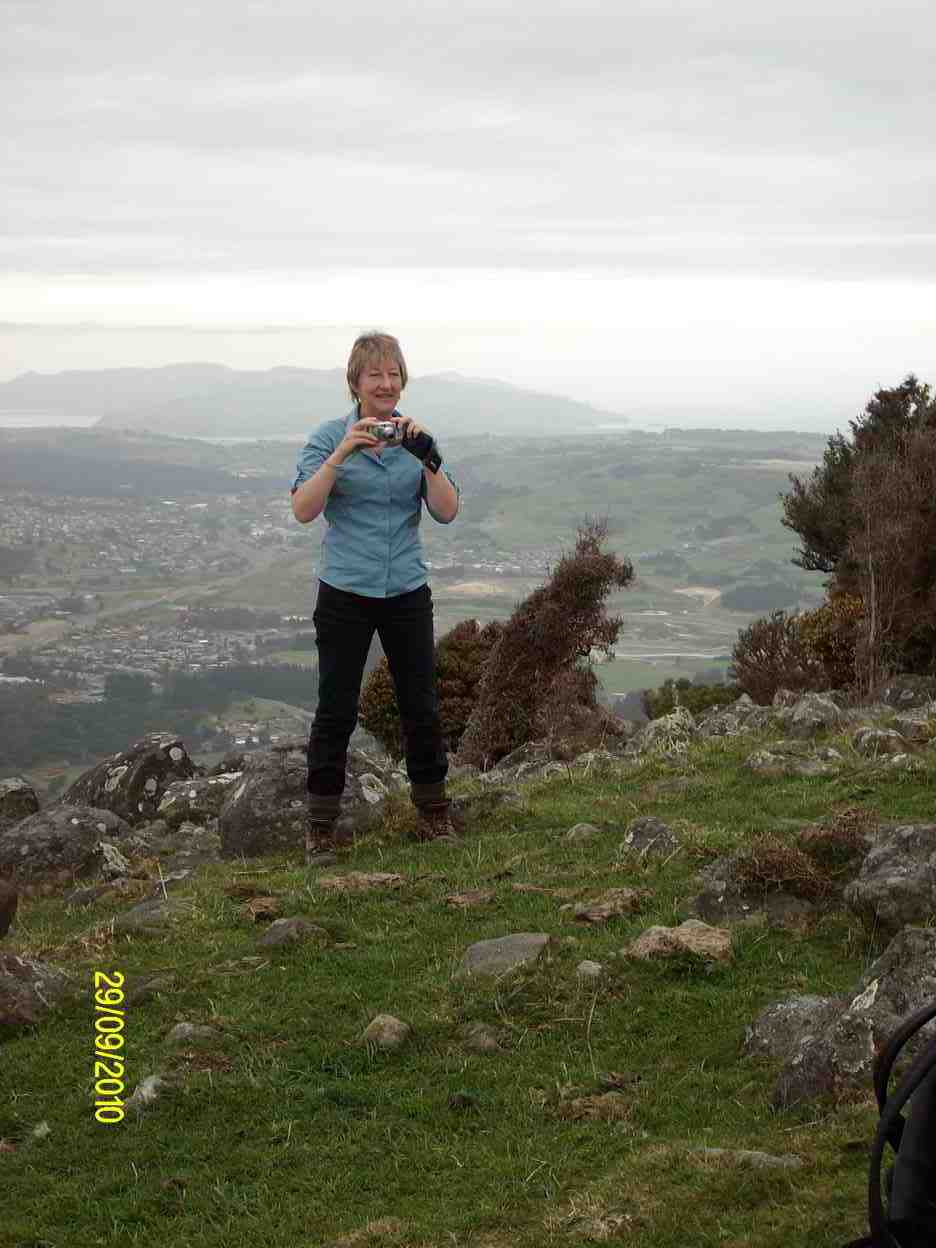
The track through the bush took us round to the seaward side grassy slope and then it was up to another bush entrance for the last push to the top (473m, according to Ken), where there were views galore for our cameras. 11.00 a.m. and far too early for lunch.
Emma (Ken pic)
Saddle Hill trig. (Emma pic)
Mosgiel from Saddle Hill (Ken pic)
View south from Saddle Hill
We made our way down over a very bouldery grass paddock to Saddle Hill road, round into McMasters Road again to reach the place we had ascended, and then it was back down again. We found a most pleasant lunch spot softened by thick pine needles and sheltered in by pines. Then it was down and through the much-slumped paddock back to the cars.
Coal Mine slumps.
36. 27/2/2008. Hikers, Saddle Hill, Taieri Lookout, Medium. Leaders Dot Bennett, Chris
35. 25/1/2006. Trampers. Saddle Hill from Stevensons Farm. Medium. Leaders: George, Hazel.
34. 27/4/2005. Both. Creamery Road, Saddle Hill, Watts BushLeaders: Joyce, Hazel, Eleanor W, Eleanor B
33. 14/4/2004. Trampers. Saddle Hill via Creamery Road. Medium. Leaders: Doug J, Molly
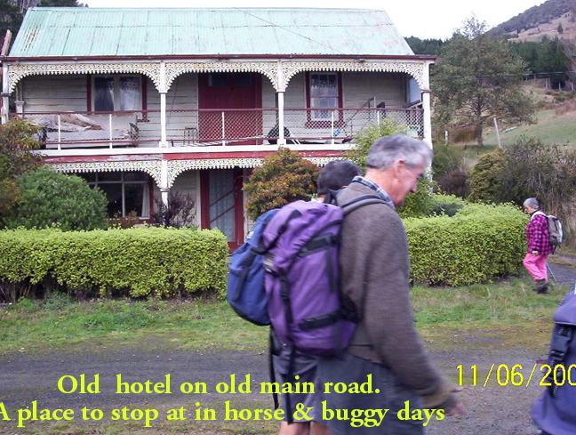
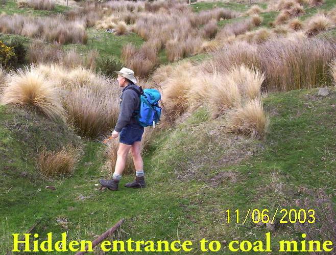
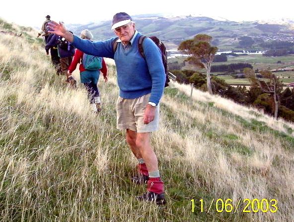
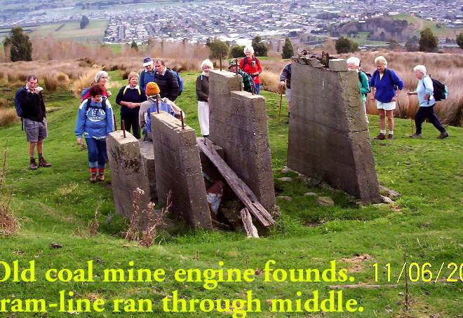
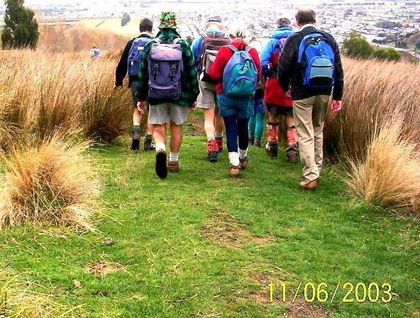
28. 11/6/2003. Both. Saddle Hill through Pearsons.
Year round. Park overhead bridge. Contacts: Seek permissions. The Grange. Phone for appointment for permission to tramp on this property. “We like to see you face to face.” (Paddock with coal mine entrance and tram line track)
Park cars at motorway overhead bridge. Leaders: George, Hazel, Jack & Rosemary.
23. 9/8/2000.Saddle Hill and Jaffray Hill from the overhead bridge. Average. Leaders: George, Hazel, Molly
22. 9/8/2000. Saddle Hill – Walnut Grove. Park Overhead Bridge.Leaders: George, Hazel, Molly.
21. 31/5/2000 Saddle Hill, Law Road, from carpark. Long Tramp. Leaders: Lance & Lois, Betty B 20. 7/2/2000 Creamery Road Finnies, McIntosh (frmly Watts) Bush, return Scroggs Hill, Brighton Road, Beach. Nelson & Dot, Winnifred 19. 8/12/1999. Creamery Road, Watts Bush, Scroggs Hill. Leaders: Dot B, Joan H, Bob H. 18. 25/8/1999. Car Park, Saddle Hill, Law Road. Long tramp. Leaders: Frank and Lesley, Arthur and Barbara. Return Silverstream to car park. Long tramp. Leaders: Wendy, Evelyn M, Eleanor B, Hartmann 17. 24/3/1999. Creamery Road – Ocean View. Leaders: Doug and Ngaire, W W. 16. 20/5/1998. Creamery Road, Saddle Hill. Leaders: Daphne, Margaret D. 15. 1997 Saddle Hill, Jaffrays Farm, East Taieri Scouts Hall. Leaders: George, Betty B, Wendy 14. 26/11/1997. Saddle Hill, Fulton Hogans, Hills Clevelands etc. 5 hour tramp. Leaders: George, Betty B, Wendy. 13. 13/8/1997. Saddle Hill, Scroggs Hill, Walnut Grove. Leaders: Les W, Frank, Jack M. 12. 2/10/1996. McLeods – Saddle Hill. Average. Meet Ocean View carpark. Leaders: Eric & Dot, Pat 11. 6/9/1995. Creamery Road, Watts Bush, Scroggs Hill. Medium.Leaders: Eric and Dot, Joan H, Chris 10. 16/8/1995. Saddle Hill, Old Brighton Road, Taieri Lookout, Chain Hill, Fairfield. Medium. Meet at Fulton Hogan Yard, Old Brighton Road. Leaders: Rob Q, Nelson & Dot, Molly 9. 24/7/1996. Jaffrays and Saddle Hill from East Taieri Scout Hall. Average. Leaders: Dot T, Les and Mavis. 8. 15/6/1994. Creamery Road, Saddle Hill, Watts Walk (now Finnies, McIntosh), Scroggs Hill. Leaders: Eric & Dot, Chris, Joan H. 7. 28/7/1993. Start from car park, Saddle Hill to Law Road. Long Tramp. Leaders: Wendy, Evelyn M, Eleanor B, Hartmann 6. 23/6/1993 Creamery Road Finnies, Watts Bush (now McIntosh), return Scroggs Hill. Medium but long. Cars at Ocean View Picnic Ground. Leaders: Eric & Dot, Jack M, Joyce S 5. 20/11/1989. Saddle Hill and Jaffray Hill from the overhead bridge. Average. Leaders: Mavis, Peg A, Margaret S, Daphne 4. 30/3/1988 Saddle Hill and Jaffray Hill. A little bit of history. Meet at Saddle Hill Lookout. Leaders: Daphne, Peg A 3. 18/9/1991 Green Park – Saddle Hill, returning via Hare Street and beach. Splendid coastal views. Cars meet at Green Park Cemetery. Average. George, Eric & Dot, Les W 2. 20/9/1989 Creamery Road, Ocean View. Average. Meet Ocean View carpark. Leaders: Mary Y, Daphne, Betty B, Margaret D 1. 24/3/1989 Creamery Road, Ocean View. Leaders: Doug M, Eleanor W
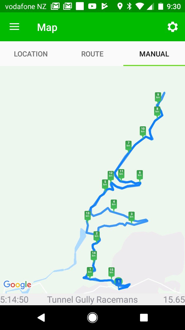
10. 30/9/2020. Trampers. Tunnel track/ Racemans return. Leaders Gordon Grant and Arthur Heenan
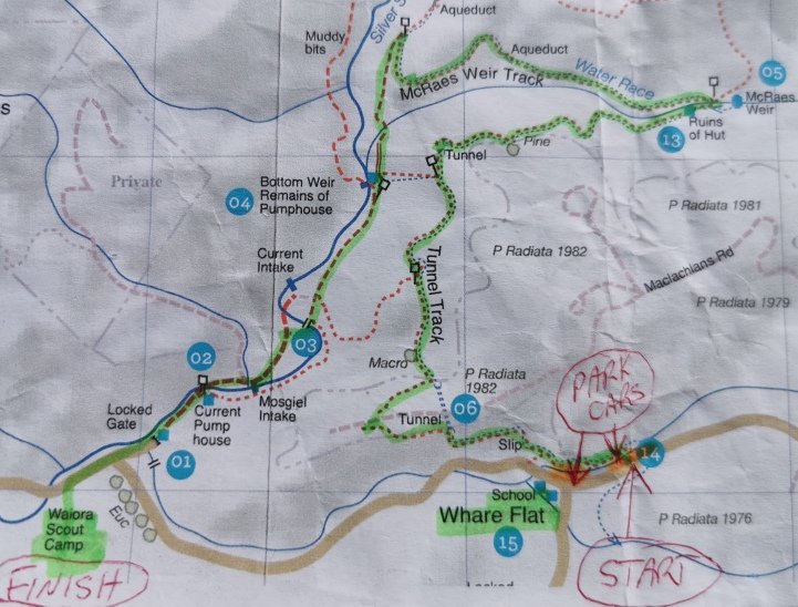
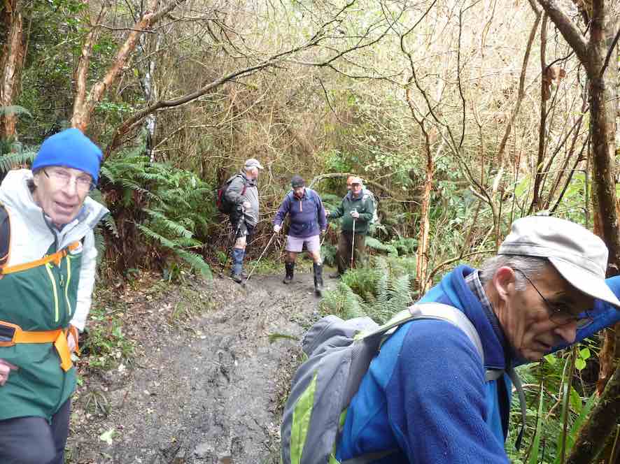
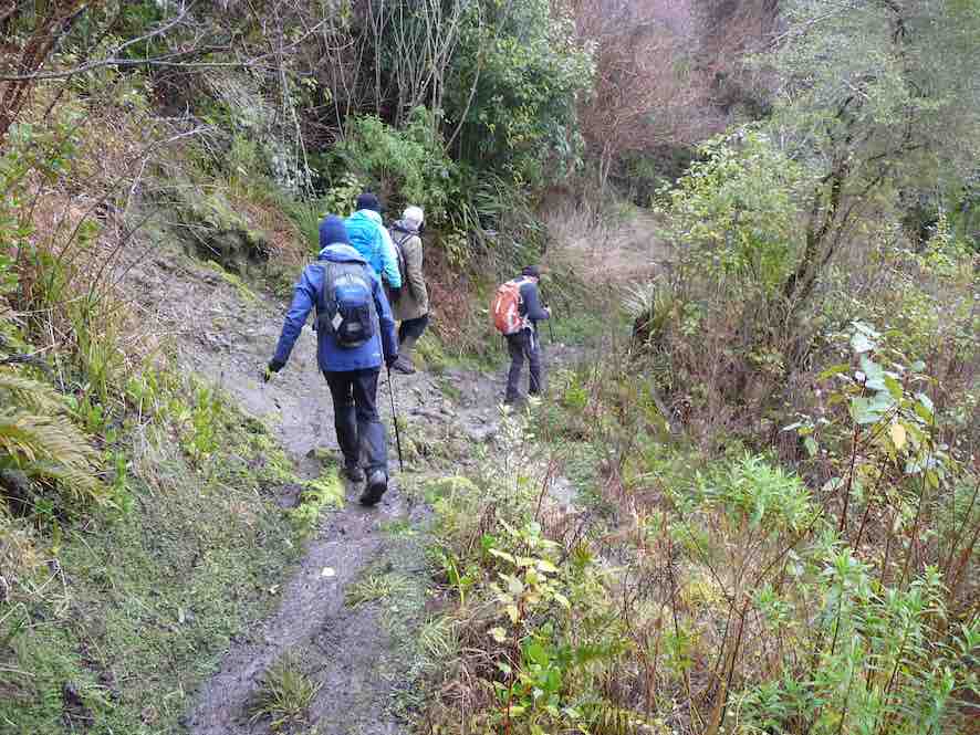
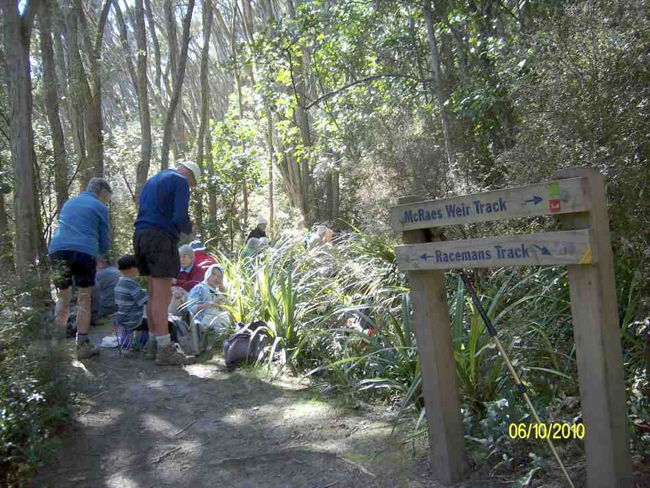
Because of snow on the Maungatua the days tramp was diverted to Whare Flat where 9 hardy trampers set off up Tunnel track to Mcraes Weir then turned left until arriving at Racemans track.
MINUTES OF THE 32nd ANNUAL GENERAL MEETING OF THE TAIERIRECREATIONAL TRAMPING CLUB HELD AT THE MCKERROW LOUNGE,MOSGIEL PRESBYTERIAN CHURCH ON THURSDAY, 15 October 2020 AT 1.30PM
PRESENT: A Heenan (Chair), D Bennett, K Burke, J Butcher, P Davie, E Day, J Dennison, J Devlin, G Farquharson, J Finnerty, B & J Finnie, I Fleming, J Gardiner, L Gowans, G Grant, A Griffin, B Harvey, P Keene, H Kirk, R Labes, C Leach, S McCormack, N McCunn, G & K McInnes, D Mellish, B Mitchell, D Moir, H Morris, N Morrison, K & S Munro, L Partridge, D Patterson, D Roberts, E Ryan, N & M Simpson, M Schofield, B Spittle, G Williams, B & J Wright, J Yardley
APOLOGIES: J Dodd, C Morrison, W Begley, C Crossman, E Griffin, T White, J Reid, J Ronald, E Willis, A Whitson, J & P Horrell, P Gillespie, S Nichol, K Fagg, C Wither, J Davie, J Abbott, N Buckley, G Haggie, C Hughes, R Keene, P Clough, G Souter, A Miller
Moved S McCormack/seconded J Wright that these apologies be accepted. Carried
MINUTES OF PREVIOUS MEETINGS
Minutes of 2019 AGM were taken as read having been previously circulated. Moved E Ryan, seconded P Keene that they be confirmed as a true and accurate record. Carried
Matters arising:
Nil
CORRESPONDENCE:
Inward – Resignation from Peter and Wendy Bathgate
Outward –Nil
Moved M Simpson, seconded J Gardiner that the correspondence be accepted. Carried
PRESIDENTS REPORT
President, Arthur Heenan, presented his report for the year.. It had been a somewhat disruptive year with the two covid pandemic lockdowns causing the cancellations of 17 Wednesdays of activity. Apart from this the club had had a successful year with a number of new members, making a total membership of over 100. There were two bus trips, the first to Roxburgh to walk part of the Millenium Track, and the second to the Redan Crater, near Middlemarch. A group of trampers had a 2 night stay at the Bendoran Huts just prior to lockdown. The Xmas breakup lunch was held at the Waiora Scout Camp, and a very well attended mid year lunch at the Mosgiel RSA. Thanks to Jill Dodd who organised a first aid refresher course. Ian Fleming’s long contribution to the club as webmaster was acknowledged, and thanks to Dave Mellish who has taken over this role.
We lost two life members during the year, Bob Heenan and Les Smith. Both had been very valuable members of the club. Also Mary Young, who was on the steering committee setting up the club.
He thanked the committee for their work during the year – secretary/treasurer, programme and, social committees, track clearing, webmaster, and all those who have contributed to the running of the club.
Moved A Heenan, seconded D Patterson that the President’s report be adopted. Carried
FINANCIAL REPORT
Financial statement for the year ended 30/6/20 was presented by the treasurer. Bank balance stands at $673.93, petty cash $4.60. Income was $1736.75, and expenditure $1910.83, leaving a deficit for the year of $174.08. This was partly caused by small outlays on social events (morning tea, cakes etc.) and a $100 donation to the Quarantine Island
Moved J Yardley, seconded G Grant that the financial report be adopted. Carried
Subscriptions: Moved J Yardley, seconded K McInnes that subs remain at $5, plus $10 joining fee for new members. Carried
Auditor: Moved J Yardley, seconded J Butcher, that Keith Mackenzie, Consultant Accountant continue as auditor if he is available Carried
Webmaster: Moved G Williams, seconded G Grant, that D Mellish receive a $50 honorarium. Carried
ELECTION OF OFFICE BEARERS
President: Arthur Heenan Moved J Yardley, seconded B Harvey Carried. Vice-President: Phil Keene Moved H Morris, seconded E Ryan Carried Secretary/Treasurer: Jan Yardley Moved S Munro, seconded J Dennison Carried Past President: Jill Dodd
Webmaster: Dave Mellish Moved K McInnes, seconded J Wright Carried Committee: Jan Butcher, Jay Devlin, Keith Munro, Clive Crossman Moved B Mitchell, seconded J Wright that the above existing committee members be reappointed Carried
Moved S McCormack, seconded K McInnes that Jenni Wright be appointed to the committee Carried
Moved G Williams, seconded D Mellish that Jill Reid be appointed to the committee. Carried
GENERAL:
Constitution – this needs to be updated. J Wright offered to help with this.
Life Membership– life membership was awarded to Doug Moir, who has been a valuable member of the club for a long period of time. Helen Morris also spoke about a rare award he had received from the Masonic Lodge.
There was no other business, and the meeting closed at 2 pm.
Guest speaker, Alyth Grant a volunteer from the Orokonui Ecosanctuary gave a detailed powerpoint presentation on the history, educational role and activities held at the sanctuary. Thanked by Phil Keene and presented with a voucher.
Afternoon tea concluded the meeting.
Confirmed ………………………………………..(President) Date ………………….
Nicols Creek circuit Maintained by Green Hut Track Group. DCC land.
Pineapple Track—the curious name of this track originates from a tradition involving a local grocer in the 1920’s. He guided parties up a track in this area and would provide tinned pineapple as a refreshment at the top. The empty cans were left as litter.
4. 24/6/2020 FLAGSTAFF WALKWAY ONTO SWAMPY RIDGE TRACK and RETURN. Leader Eleanore
After a couple of head counts our group of 24 (including 3 new faces) arrived at the Bull Ring at 10am to a very foggy morning. As well as us, staff were parked up waiting to spread gravel on Pineapple and Firebreak tracks, that was to be dropped by helicopter. We commented that it would be something new to look at as we were walking.
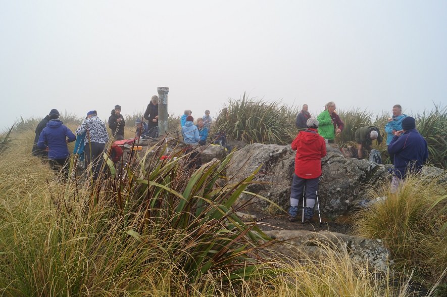
After a short sharp climb we arrived at the Plane Table marked by a drainpipe at a height of round 660 metres for smoko, still in fog and no views we headed off again down and around to the Pineapple junction, passing by damage caused by a fire last year.
Photo and Caption John – “Morning tea – not to be MIST!”
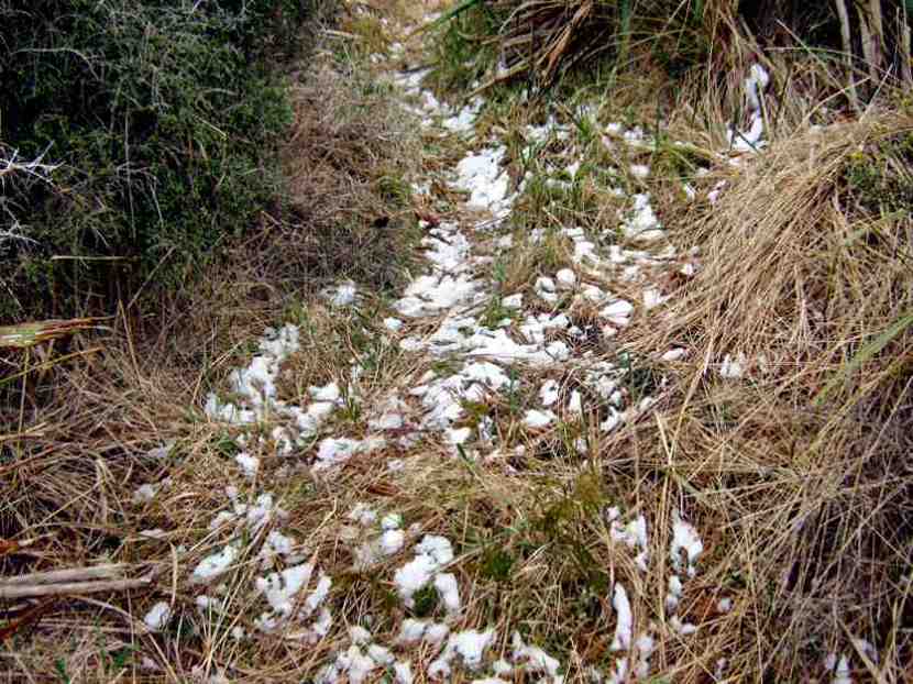
This section of the Pineapple track was wet and slippery along with the odd patch of icy puddles, we had to make sure we kept our feet firmly on the ground!!
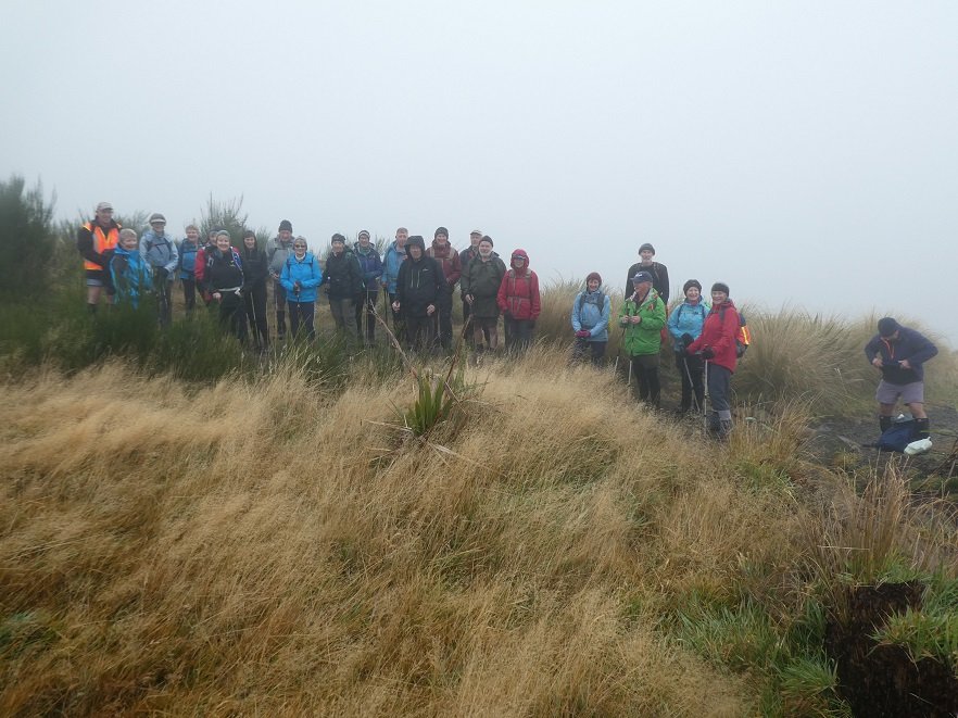
Photo and Caption Gordon – “You couln’t have MIST this group of trampers.”
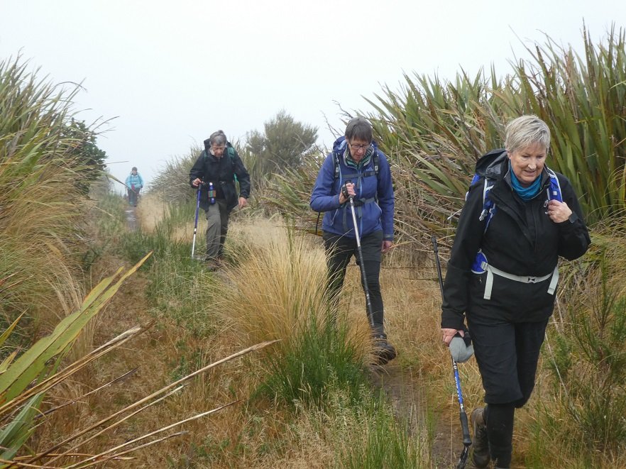
Photo and Caption Gordon – “Still slogging up hill!”
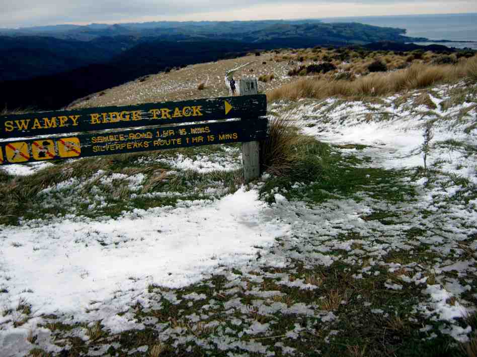
We arrived at the junction of Swampy and Firebreak tracks at 11am, then continued through more mud, noticing quite a lot of broom had been recently cut down—-thanks to those concerned.
After some climbing along the way, passing Moon, Powerline, and Telecom Microwave Station tracks, we arrived at the Aircraft Navigation Station at the Swine Spur junction at 12:15pm. Up till now, the only sight to be seen was the person in front of you!! Occasionally, one hoped for the fog to lift, so the amazing views could be enjoyed—so far, not happening.
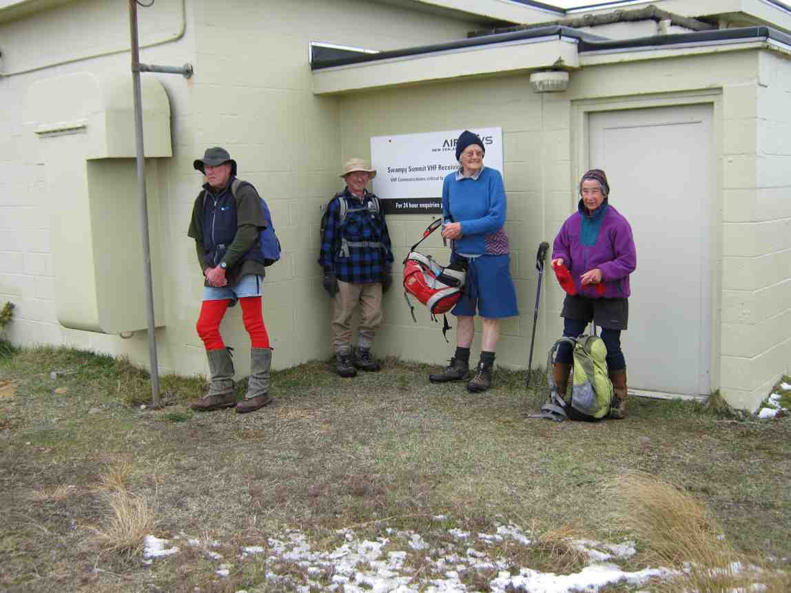
Photo and Caption John – “Lunch at Swampy summit.”Photo and Caption John – “Gotcha Dave!”
At 12:40pm, after a shortened lunch it was time to head for home, negotiating the slippery, slidey slopes along the way reaching the Firebreak junction in 1 hour, we took the shortcut back onto Flagstaff track, and enjoyed the mostly downhill walk to the cars, arriving at 2:30pm.
Photo and Caption Gordon – “Homeward bound.”
The boots covered a good 13kms.
This was the first tramp with the Club I have been on that the fog never lifted the entire day. We were ready for coffee, cake and a yarn to celebrate our achievement at Blackstone Cafe.
As always, I hope you all enjoyed the day as much as I did.
Eleanore
3. 16/9/2009. Bullring, Flagstaff Walkway, Swampy Ridge, Moon, Nicols Creek Track, New Track across to Pineapple, Pineapple, McGouns, Davies , Flagstaff Walkway Firebreak/Bullock, Bullring. Leaders: Ria, Hazel.
We walked from the Bullring across Flagstaff and Swampy Ridge until sheltering for morning tea stop some way down the upper Moon Track,
Morning tea on upper Moon. (Ken pic). Ian and Doug. Ria and Hazel partially hidden.
then crossing to the other side of the valley.
Walking across headwaters from Moon on one side to Nicols Track on the other. Doug, George.
Perhaps it was the thinner foliage of early spring, but none of us had remembered noticing before the huge old tree trunk just below Nicols Creek track, with growth still struggling for its old branches far above us if we craned our necks.
George making a close examination of extraordinarily large trunk which he identified as a Kahikatea.
View across to the motorway from one of the few open patches on Nicols Track. Doug, George.
Ria and Hazel surprised us with a track leading off to the right just a little further on.
Surprising track off to the right. Doug, George.
It took us through brief bush out into heavy grass and scrub and led almost vertically uphill diagonally back from the way we had come, and eventually, after a few hundred metres of stiff climbing, coming out onto overgrown pasture and across to join the Pineapple Track just above the point where it enters the bush.
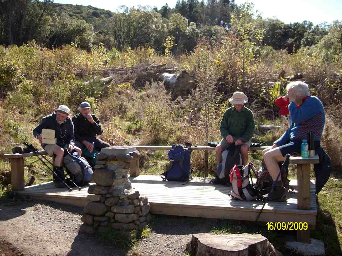
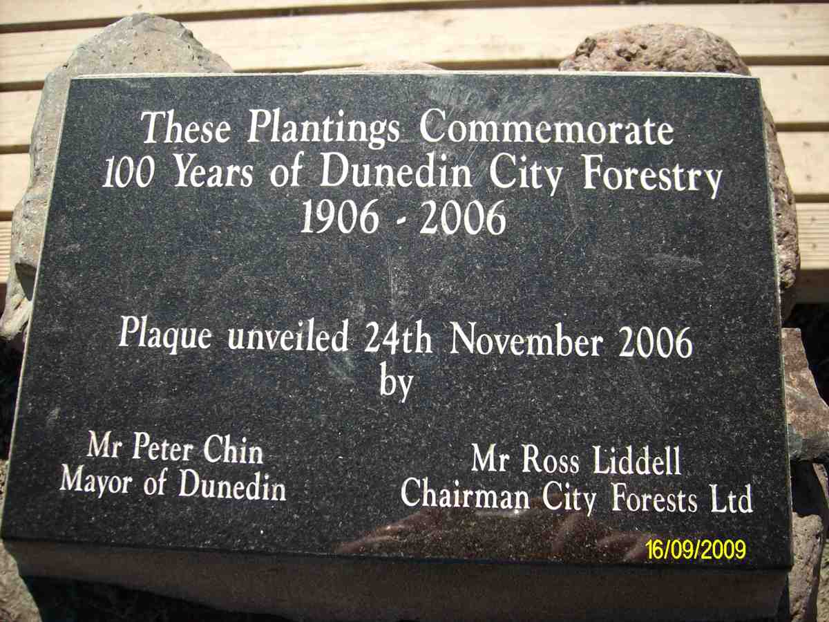
By taking us on this novel route, our leaders avoided any road work, as we were able to descend the Pineapple track and join the McGouns track to come out at the partially vandalised stone cairn and plaque marking City Forests 100 years of forestry planting by the Dunedin City Council begun in 1906. Its surrounding seating made a good place for lunch.
Lunch at plaque. (Ken pic). Ian, George, Doug, Ria, Hazel.
The plaque. (Ken pic).
From there, a short walk along Drummonds Street connected us with Davies Track, which zigzagged up through regenerating natives to eventually continue climbing through mature bush.
Rest stop in Bush on Davies Track. Ria, Ken, Doug.
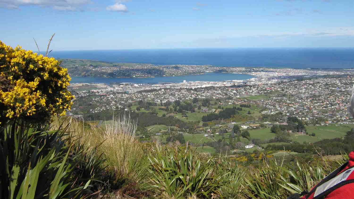
Dunedin from Davies Track above bushline.
Above the bush line, it was then through tussock and flax till we reached the Flagstaff Walkway. We decided to take the Firebreak/Old Bullock Track back to the cars. – Ian.
10. 17/6/2020. Hikers. Woodhaugh gardens and the University area. Dawn Pool and Pam Clough.
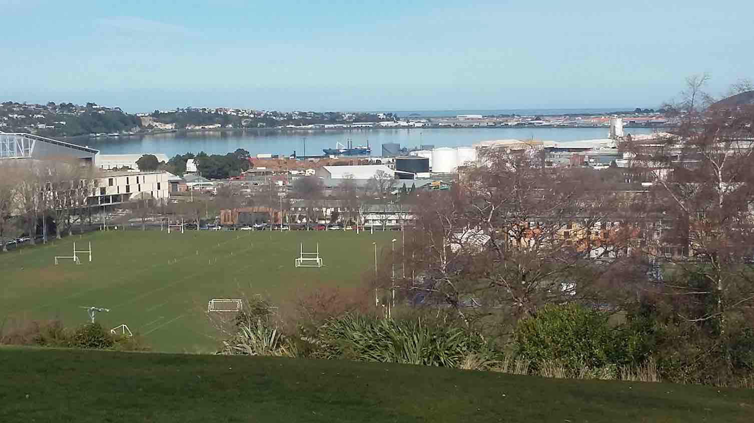
20 people from the Hiking Group had a very pleasant 7k walk from the yacht club car park up 260 steps to the botanical gardens, where we enjoyed a beautiful view and morning tea.
We then wound our way down through the grounds, enjoying lots of things on the way, arriving at the duck pond, where we stopped for lunch.
An interesting walk through the University and back to the cars.
Just as the weather changed we reached the cafe by the stadium and all enjoyed a hot drink before heading back home.
Hope the trampers enjoyed their day.
Regards
Dawn Pool
9. 31/7/2019. Hikers. Treasures around the Leith. Jenni and Judy D.
Despite a rather iffy forecast, 18 hikers met to explore “Treasures around the Leith”. We met our Brighton contingent at the Malvern Street Bridge and proceeded to an early morning tea at the Woodhaugh Gardens. So off we set though the Botanic Gardens admiring the recent rose pruning, through the Clive Lister Garden, along and up through the terraced gardens and finally up a gentle track which lead us to Lovelock Avenue.
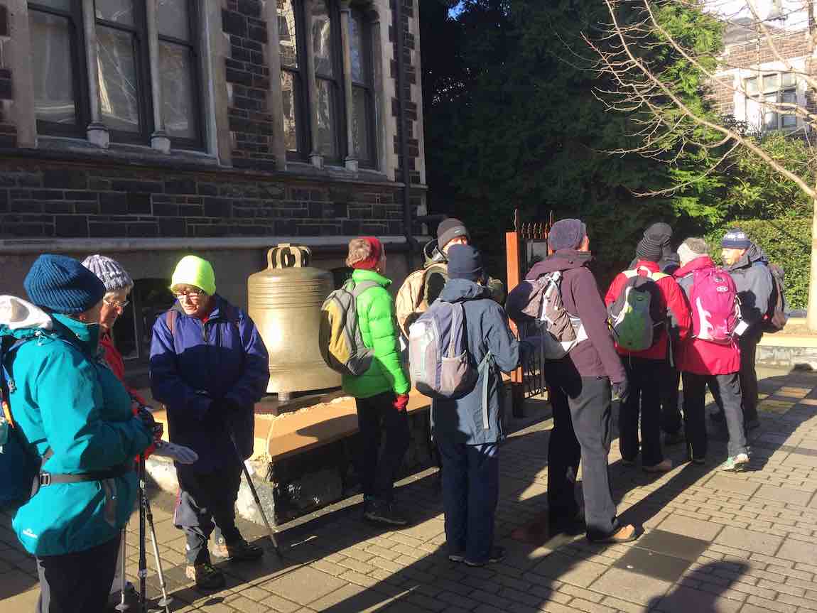
The weather held as we investigated the historic bell in the University’s quadrangle. This bell was part of the New Zealand Exhibition in 1865, before being moved to the stock exchange building in 1868. The full story was captured by the ODT on 3 February 2019.
(Jenni pic.)
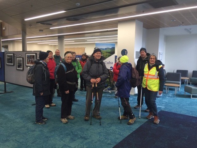
From there, we ventured to the Otago Business School to view the outstanding architecture and the very cool photographic exhibition “Cuba through Kiwi eyes”. There was a great variety of excellent photographs, and we were fortunate to be able to see this. The exhibition closes on 2 August.
(Jenni pic.)(Jenni pic.)
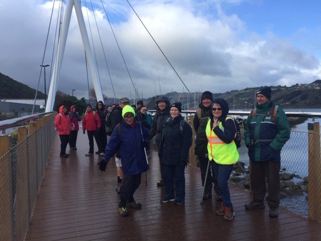
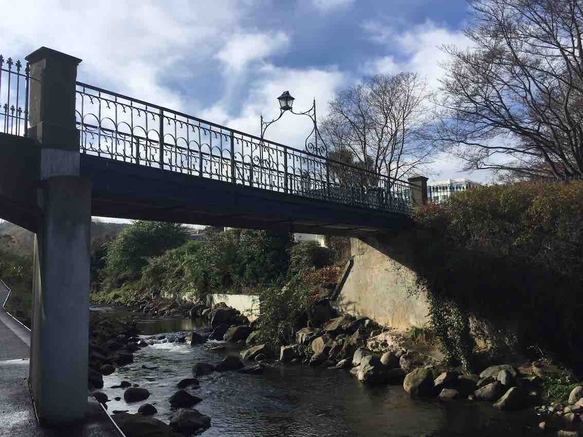
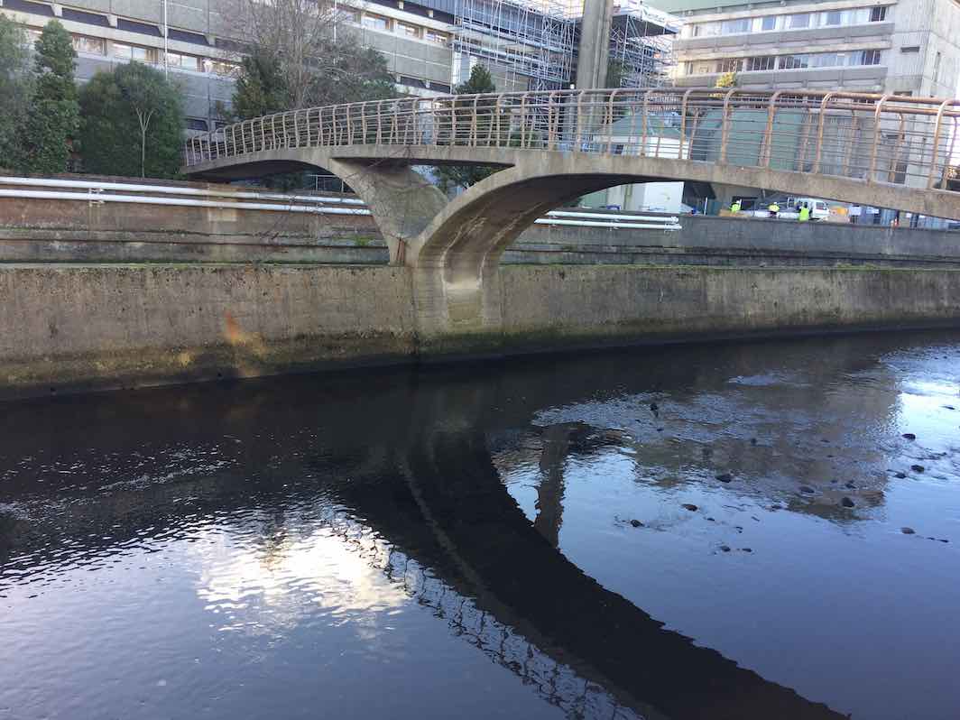
We meandered along the side of the Leith, noting the exciting new $26m Music, Theatre and Performing Arts Development and checked out the new Leith bridge which links Dunedin with Port Chalmers for both walkers and cyclists.
(Jenni pic.)
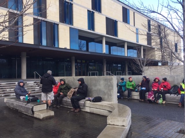
We returned to the seating area outside the Stadium for lunch, which turned out to be an excellent shelter from the nippy Southerly.
(Jenni pic.)
Back along Union Street, as we passed the Multi Disciplinary Unit we talked about the world famous “Dunedin Study” and the amazing facilities they are housed in. Time was on our side so we entered the Student Union building and the Information Services building which has been cleverly joined by “The Link”. We marvelled at the space that the students enjoy today and the architectural features including a circular internal Oamaru stone wall. A highlight of the tramp was seeing the developments to alleviate flooding in the area and preservation of the St David bridge.
(Jenni pic.)
How fortunate we are to have so many treasures around the Leith.
Distance travelled around 9kms. Coffee and cake at Village Green. Special thanks to Judy Dennison for being “Tail End Charlie”. Today’s leader: Jenni Wright.
8. 28/11/2018. Hikers. Gardens / Leith Street. E. Leaders: Judy and Elaine.
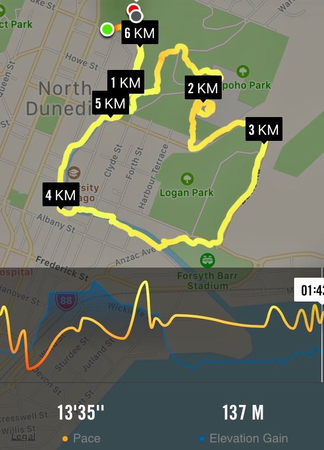
Nike map of route, courtesy Ian.
After an overdose of rain, 23 hikers and four ramblers abandoned the planned Flagstaff/Swampy hike in favour of the Botanic Gardens area.
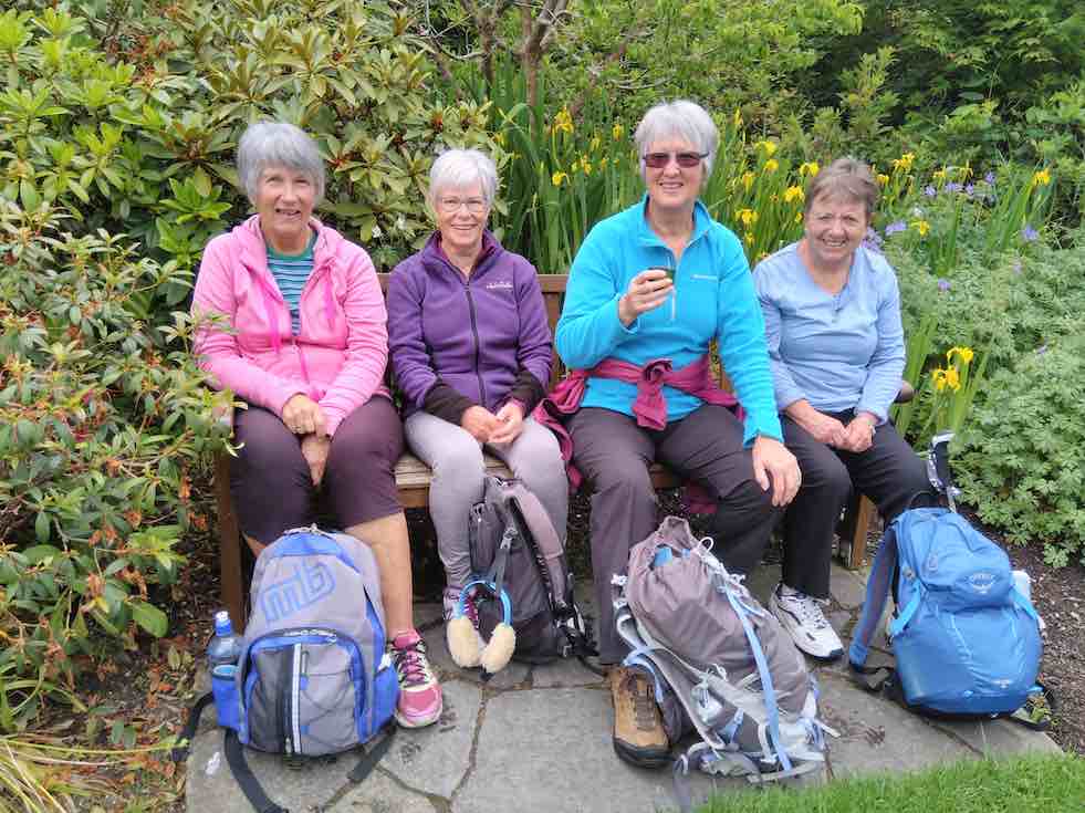
We parked in the gardens car park and wandered by various paths to the Rhododendron dell for a leisurely morning tea. The sun shone and the birds sang.
(Judy K. pic.)
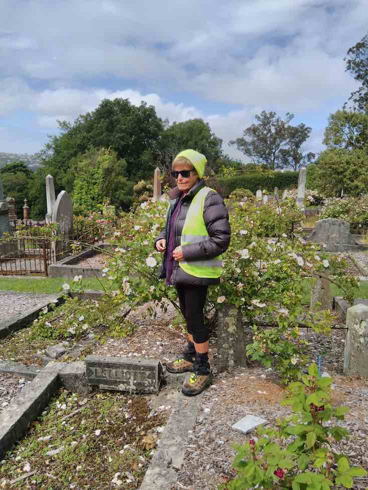
Eventually we headed off over the road, into the northern cemetery where a successful search was made for Elaine’s ancestors.
(Judy K. pic.)
Leaving them undisturbed we headed off down the hill, and the steps, to Logan Park and around to the stadium for lunch. (Quite a relief to have toilets available at both morning tea and lunch!)
Lunch time. (Adrienne M pic and caption.)
The sun shone and a one-legged seagull enjoyed lots of titbits.From here it was a stroll across the road into Anzac Ave, then across to follow the Leith up through the University
(Judy K. pic.) [Inserted only at Judy’s request. Ed.](Judy K. pic.)
and so back to the Gardens, coffee, and the cars.
Judy and Elaine
7. 15/8/2018. Hikers. Gardens / Leith Street. E. Leaders: Dawn and Pam.
Edinburgh stone memorial. (Clive pic and caption.)Calm day on the harbour. (Clive pic and caption.)Après déjeuner scene, Upper Garden. (Ian pic and caption.)Nancy Syme fountain, Botanic Garden. (Lester told of Nancy Syme long time Mosgiel resident who dontated the fountain. (Clive pic and caption.)
6. 28/6/2017. Hikers. Leith walk Mouth to Woodhaugh. E. Leaders: Jan Y and Jan B.
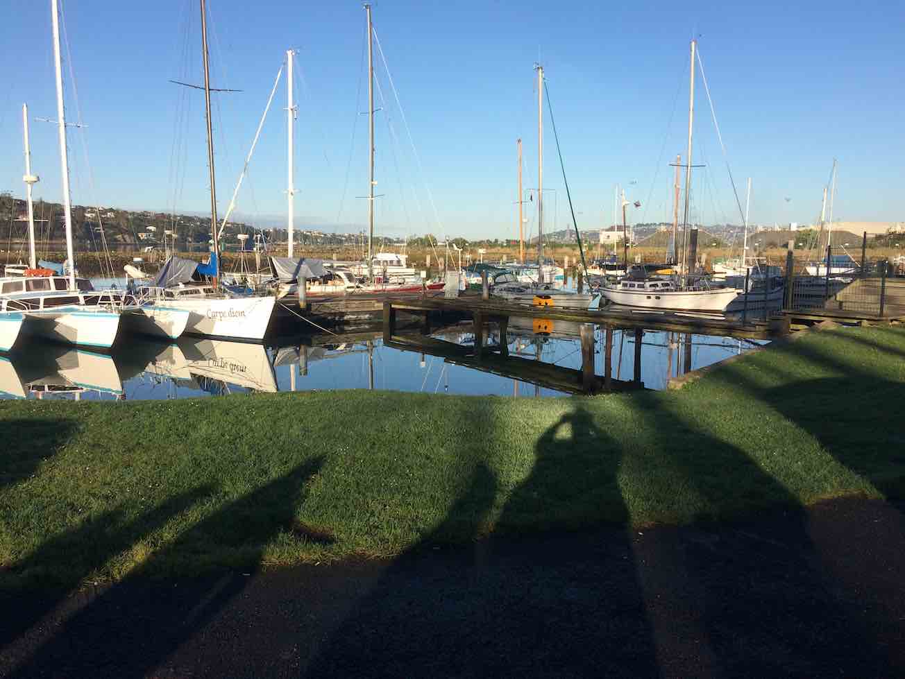
Calm yachts where parked cars. (Ian pic and caption.Albatross wing bridge. Wired head and body difficult to discern. (Ian pic and caption.)Woodhaugh lunch. (Ian pic and caption.)Grafitti on lower Leith concrete way. (Ian pic and caption.)
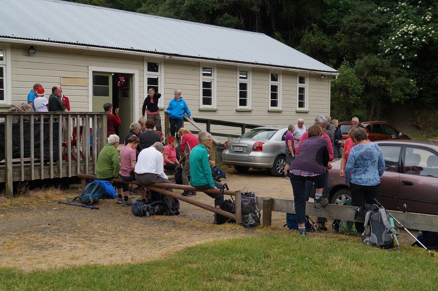
18. 11/12/2020 Christmas Breakup. All. Waiora Scout Camp. * E. Leaders. Eleanore and Jill D., Noi and Adi.
Forty two Trampers/hikers set out from the old Whare Flat School along the Tunnel Track and The McRaes Weir Track and back down to the Waiora Scout Camp. Obviously there was a lot of manual work done by hand many years ago to help supply water to Dunedin.
Photo and Caption Gordon – “Some of us are off!”
The walk took approximately 2.5 hours and was 7km in length.
Photo and Caption Kerry – “Where we walked!”
Terrain was gradual and quite easy! With occasional rope climbing.
Photo and Caption Helen – “Its good being in one group”Photo and Caption Gordon – “Creek crossing”Photo and Caption Gordon – “Nearing the first pit stop”
Photo and Caption John – “Morning tea with a view”
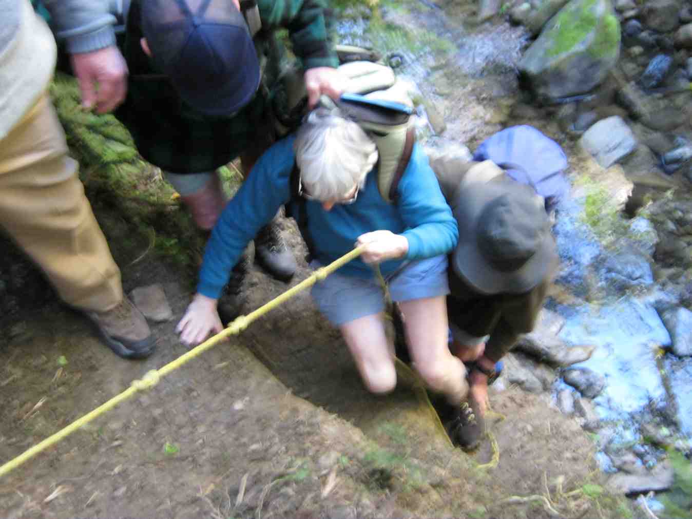
Photo and Caption Gordon -“Climbing out of the second crossing with a rope.”
Really enjoyed the cool, sheltered natural bush. Very calming!
Photo and Caption Gordon – “Heading back to Christmas Dinner”Photo and Caption John – “Waiting for all to arrive before starting”
Arriving back at The Scout Camp where camp mums’ Jill and Adi had kindly set up tables with members’ Christmas food contributions. Joined by 10 other members, there was a great spread of food.
Photo and Caption Helen – “A happy gathering”
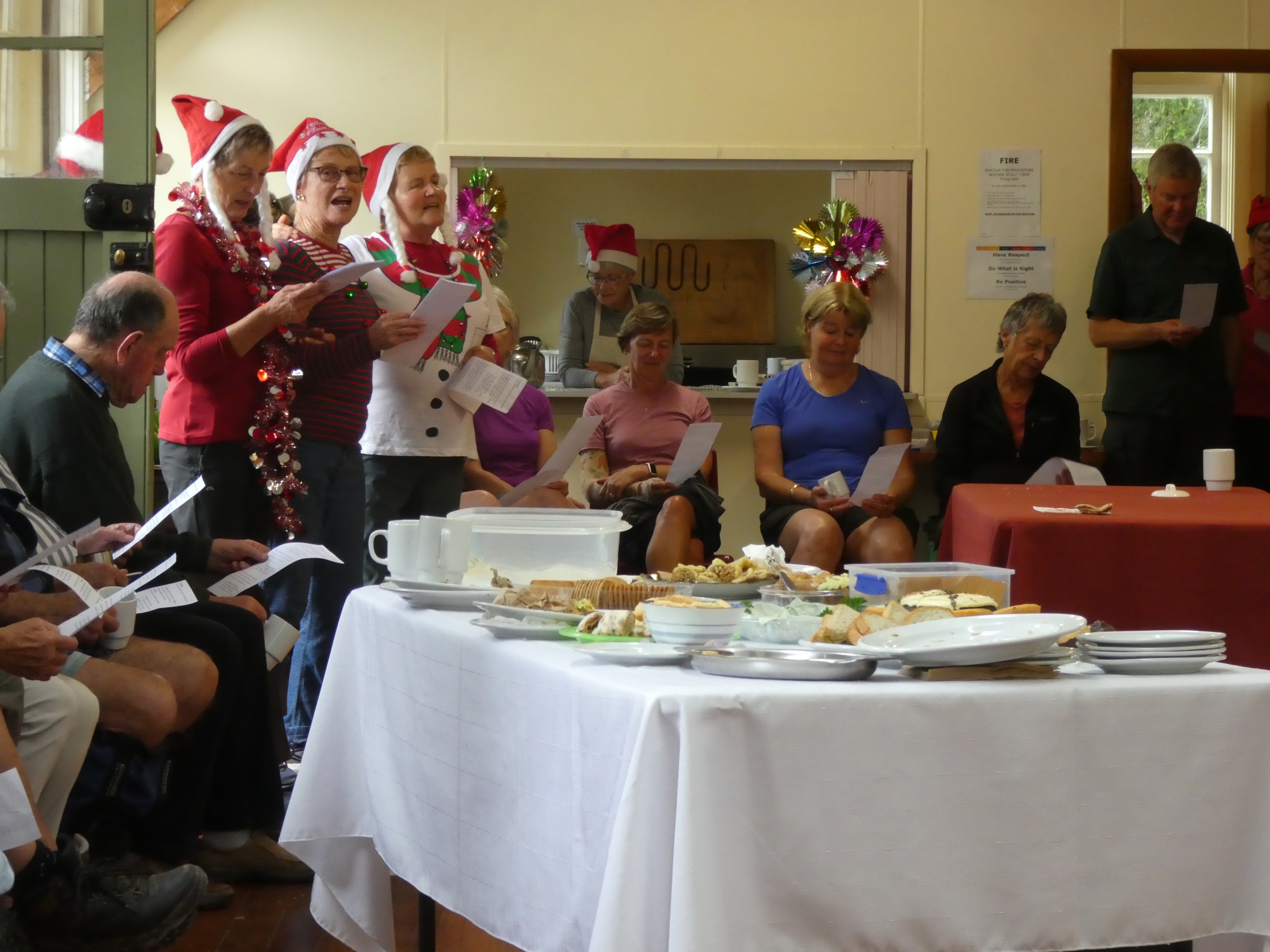
As well as excellent entertainment which included singing and travel experiences.
Photo and Caption John – “Practise makes perfect!”
Photo and Caption Helen – “What was my name again!”
I need to take the opportunity to say thank you to everybody for making this day successful and memorable.
Merry Xmas fellow club members
Collage Clive
Regards Kerry Popham
17/12/2008 Waiora Scout Camp. Leaders: Bruce and Marjorie.
Marjorie and Bruce led us on a well-thought-out trip around the Waiora property into corners we had never suspected existed. There were paths/routes to follow everywhere.
Waiora Swimming Hole. Bruce Evelyn Elaine
The swimming hole was large for such a small stream.
We crossed and recrossed the Silver Stream on new concrete bridges.
Morning tea was at the camp fire and chapel area.
After that we went on a more extended walk. Bruce pointed out the mysteries of orienteering on one of the o/posts, indicating the braille-like raised dots on which participants would press their paper to show they had passed that point.
Steep descent. Angela
We passed through grass, some mown short, some longer, some unmown, fresh and soft to walk through.
Then it was back to the cars for lunch.
19/12/2007.All. Christmas Potluck Lunch. Waiora Scout Camp and Tunnels. Finger food, cup and plate. Thermos. Leaders: Peter B, Neil, Bob H
We held our end of year pot-luck lunch get-together at the Waiora Scout Camp at Whare Flat.
Peter and Bob H led both groups on a delightful unhurried morning’s walk via the Silverstream Pump House, Tunnels Track
Top over Tunnels. Doug M, Leonie, Marjorie, Lesley, Bruce, Carmel, Evelyn, Who?. Dot B, Ria, Hazel, Bob H
and the old Schoolhouse circuit and back down to the camp. 23 of us did the walk and the noon lunch saw 36 in all turning up for a pleasant sociable occasion.
Awaiting lunch. Doug M, Dot B, Denise, Ngaire, Chris, Who?, Bill. Neil and Bob H behind.
Enjoying lunch. Neil, Wendy, Ken, Ray, Diana, Peter, Bob H, Colleen, Visitor, Nelson, Dot T
Thanks are due to Neil and assistants who remained back and attended to all the preparations at the Troop Den which proved an admirable building for the occasion. Great day, great company, great setting, great finish to the year. – Ian.
5. 19/10/2019. Hikers. Long Beach. Leaders: John and Robert.
‘Someone once said to me to “Take a Hike” , finally I have!!’
Many of the 29 Hikers who turned up at the Long Beach Domain in mild , improving weather conditions , had hiked in the Long Beach area before.
The challenge for Dave and I , as leaders , was to provide ‘something different’ , a different experience , even a bit of an adventure for them.
We travelled a well trodden route:-
– Along the Beach to the Caves.
Photo and Caption Clive – “Starting out”
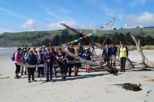
Photo John – Caption Clive – “Improvised driftwood memorial
Photo and Caption Clive – “Its a Long Beach
-To the South (other end ) of the Beach.
Photo and Caption Clive – “Tahuna kids rock climbing
Photo and Caption Clive – “The Cavern”
-Back to the mid beach starting point.
-Through the Domain , onto Town Streets.
-Onto a pleasant “loop” track towards the Beach ,and onto Town Streets again.
Photo and Caption Clive – “Stile climbing”
-Back to the cars via a short stop at the McCurdy-Grimman Hall.
Afternoon Tea (Coffee) was at a new venue for many ; the Oaken Cafe’.
Did Dave and I make the walk different , even an adventure?
“An adventure is when you don’t know what is going to happen”
I don’t think our Hikers did know quite what was going to happen , hopefully like most Hikes it was a bit of an adventure.
During the hike ,little talks on points of interest ,hopefully gave all a greater appreciation of the area’s treasures.
From Dave and I ,thanks for the opportunity to organise and run this hike.
4. 14/5/2014. Hikers. Long Beach. Easy. Leaders: Judy, Jennifer.
Long Beach Route
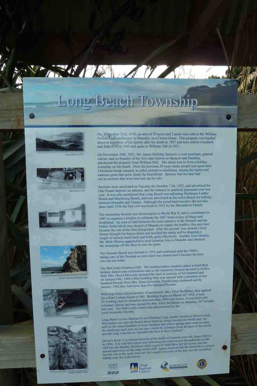
After a few days of rain 32 happy hikers shook off their cabin fever with a pleasant day at Long Beach. At the domain we examined the information boards …
Notice board
… before proceeding to the beach …
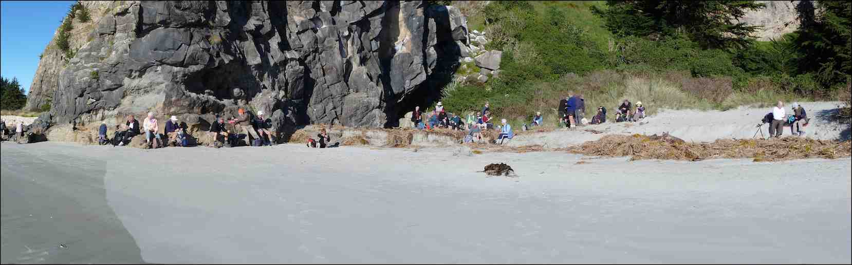
and morning tea in the sun on the sand at the first rock-climbing site.
Morning tea at the foot of Climbing Crag or Driver’s Rock, a one-time climbing wall of Judy’s. (John Panoramic pic)
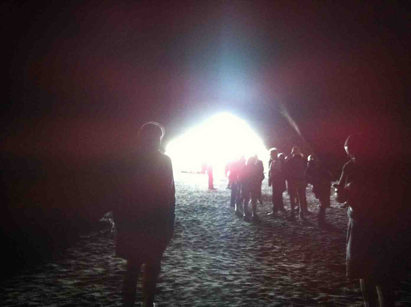
At the far end of the beach the huge ball room cave was explored (nobody wanted to dance) …
Not dancing.
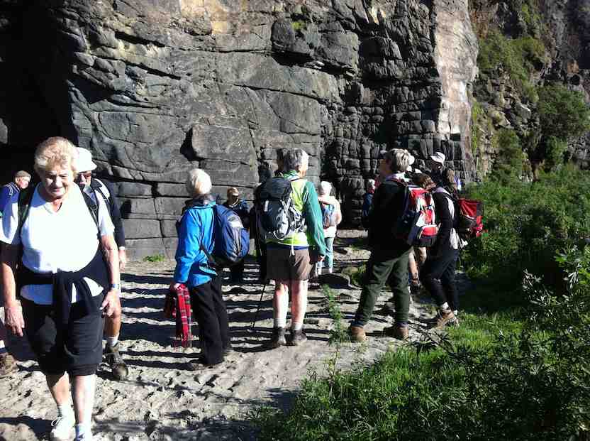
… and the numerous anchor points for intrepid climbers marvelled over.
Marvelling.2nd wall
Back along the beach to the east end we marched, with efforts to keep feet dry crossing the creek fruitless for some.
Fruitless for some. (John pic)
A leisurely lunch was had in the tussock above the beach, where there were obvious signs of sea lions, but none in residence. Fred had to scramble somewhat to deliver his usual chocolate treat to us all – thank you Fred, it’s always a highlight!
And a short stroll back and up through the pines to the village, where Fred told a few tales of some of the earlier residents of the area.
An extended social hour …
Social hour
… at the Orokonui Sanctuary ended a very happy day. – Judy
3. 3/2/2010. Both. Long Beach. Easy. Leaders: Bruce and Marjorie.
We have become accustomed to Bruce and Marjorie’s careful planning on any tramps they lead. First stop then, an information panel stop.
Bruce in full flight. (Bob pic and caption)
Then a walk to the large cave at the north end of the beach for morning tea.
The sea dragon contemplates its meal ?!? (Bob pic and caption)
Returning south a little way to smaller cave, Bruce told us the firm volcanic rocks here and and further south provided 166 different climbs. He encouraged us to detect various bolt points to assist climbers. Fred, who had had a crib here, pointed out the remains of a rusted ladder people once climbed as part of a short cut across to Purakaunui. Through a macrocarpa forest en route back to the cars we discovered unexploded paint balls left over from fights carried out here. Back near the cars Bruce further explained our next destination would be our lunch spot.
A natural park bench ? (Ian pic. Bob caption)
Bruce about to launch. (Bob pic and caption).
We followed off the road a winding path through recently planted natives to a pine plantation where we lunched. We came out another way back to the road past a memorial gate.
Gate sign. Bill, Fred, Bruce, Peter
Further south again to the end of the beach and more volcanic rock, clearly showing its hexangonal basaltic formation.
Joyce, the sea tulip!! (Bob pic and caption)
Back to the road and round behind some houses with Fred pointing out his former house and those of several others.
Margaret recalling the house she used to live in when it was at Henley(!) (Bob pic and caption) New roofing iron clearly revealed it had been cut in half for transportation and reassembled on site.
Thanks Bruce and Marjorie for not disappointing us. A most informative and enjoyable day out. – Ian
2. 18/7/2007. Hikers. Long Beach. Easy+. Leaders: Barbara and Arthur.
1. 1/12/2004. Hikers. Long Beach. Leaders: Bev H, Bev M
12 clean and dry trampers arrived with poles and putties at Double Hill carpark(after leaving a car at Evansdale) at 10am ready for this downhill track to Evansdale Glen. Due to a shower we swapped a layer for a jacket.
We headed off descending through the manuka with views over the gully down to the dam. (This dark dam along with remaining pipeline was the water supply to the Seacliff Mental Hospital).
Black Gully Dam – Photo Gordon
After the visit to the dam, creek crossings started along this rather rugged, muddy slippery track to a sheltered spot for smoko at 10:30am.
Jill doing balancing act at morning tea – Photo – Gordon
By memory the muddy patches were worse than previous trips, which caused the odd member to slip and have a closer look at the mud!
However, it was great to be amongst such lovely healthy native bush, particularly the fushia and ferns.
We continued crossing Carey’s creek and walking up the creek bed a couple of times for about 50 metres, often negotiating slippery rocks and mud glorious mud! Our leader managed to find an umbrella of branches at 12:30 for a half hour lunch break.
With the majority of crossings over, the track levelled out and soon we were walking through a grass verged track admiring the lime green willow leaves to the glen. Careys Creek crossings were counted by 2 members, both arriving at 22.
Could have been 23, but we walked over the foot bridge at the end.
After arriving at the glen, drivers raced off ahead to pick up cars and drive us to Blue Skin Nursery cafe for our coffee and cake fix.
As always, we all enjoyed the day. For 8 of the group it was their 1st time on this track with our club. We needed jackets on, lucky though, no wind and little rain, mainly drips from the trees. Must admit the putties, pack and jacket were very muddy and took some scrubbing. However, the boots were clean.
In Anthony Hamel’s book, he quoted—“This is a rugged and remote area and the track can fall into disrepair. In 2006 The Green Hut Track Group did many hours of work on this track”. Once again it is very pleasing to see they have been back on the job and apart from muddy patches today, the track is in very good condition(with new steps dug in a couple of places). Thanks for your great effort.
15. 18/9/2019. Hikers. Akatore Area. Leaders Bob Mitchell Kathryn Fagg
On another lovely spring day we left Peter Johnstone carpark and met with Bob who had organised the hike at the cattle yards on his son Braden’s Farm at Akatore. 18 hikers walked up the road and stopped for morning tea on the roadside where the views were great. We then walked through farm land and down to the beach where we had lunch. Then on through a bit of water
(Jan B. pic.) One of her own, sent when she noticed no one else had sent one.
… and followed the creek around …
(Jan B. pic.) One of her own, sent when she noticed no one else had sent one.
… up to the road.
(Jan B. pic.) One of her own, sent when she noticed no one else had sent one.
We then had a nice climb up the road until we arrived back at the cattle yards. It was an 8.5 k walk with roads, farmland, beach, water and a nice climb and then we finished off at the Brighton Cafe. – Kathryn.
14. 15/3/2017. Hikers. Akatore Farm, Stream and Beach. H. Leaders: Bob and Lesley.
Route Map, courtesy Clive. Cars parked up from lunch spot. Distance walked: about 8.5 km.
Bob lead 24 Hikers down the road to the bridge over the Akatore River,where we sat in the sun for morning tea.
Morning tea across the Akatore Bridge in the sun. (Ian pic and caption.)
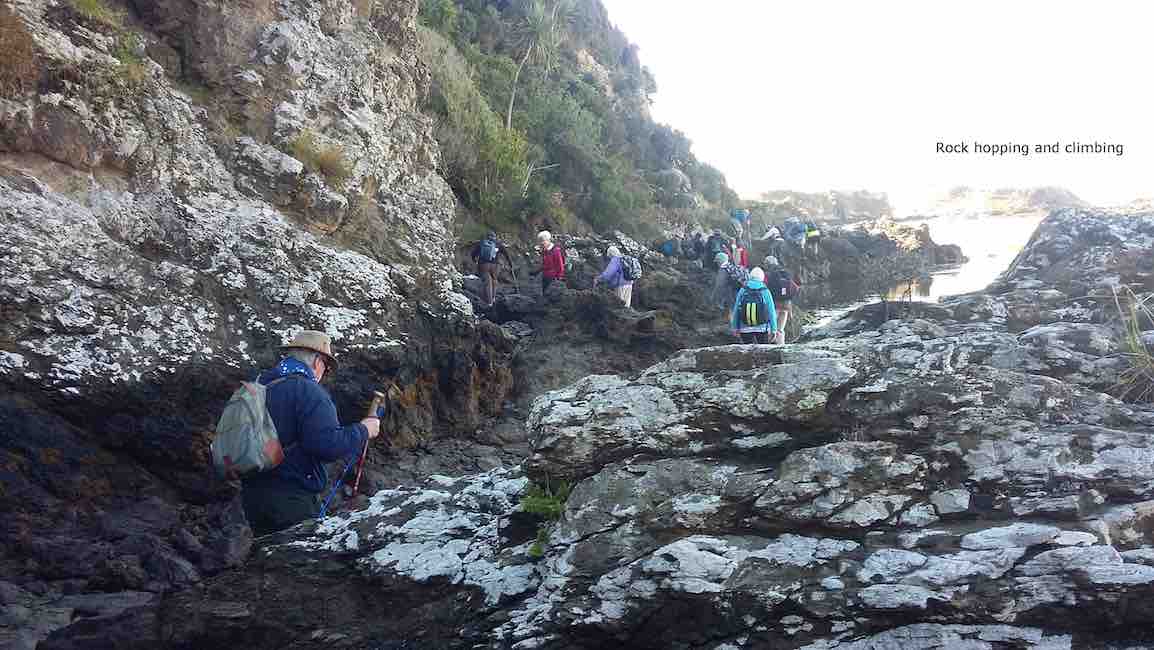
The tide was low enabling us to walk along the estuary,to the coast.This included a few moments of rock hugging,with many helping hands to get around a bluff.
Rock hopping and climbing. (Clive pic and caption.)
A few people declined and returned to the road,to be picked up by Braden,Bob son,on his farm “mule”and some rejoined the group.
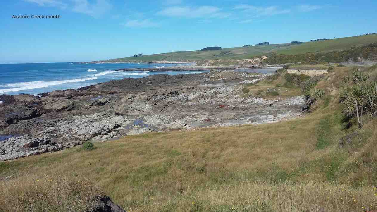
Akatore Creek mouth. (Clive pic and caption.)
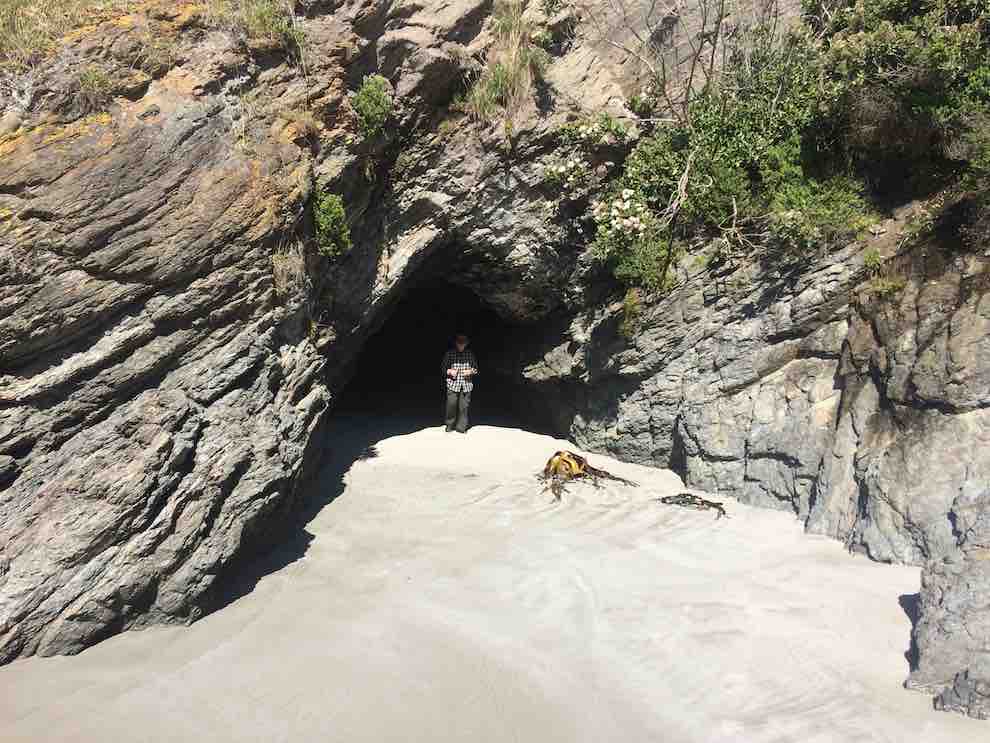
It was a clear,sunny day,with little wind and the journey along farm tracks,above the rocks,was good hiking.We lunched and explored at a private beach, …
Kevin emerging from a cave on the beach at the lunch stop. (Ian pic and caption.)
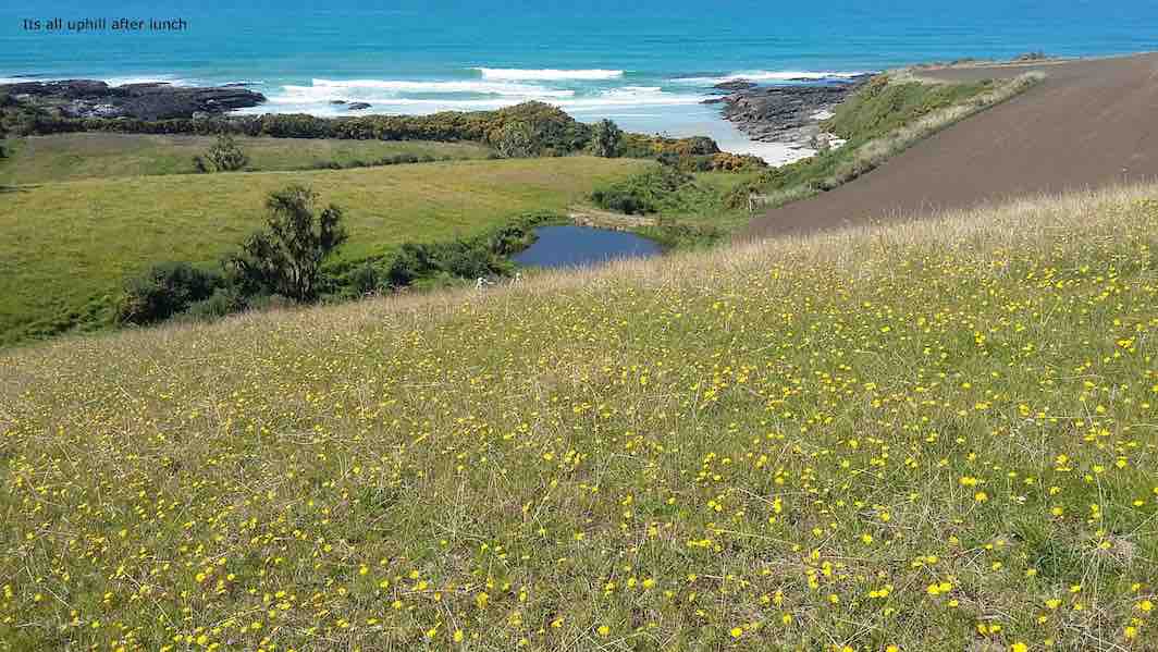
… then climbed the hill back to the cars,completing about 9km.
It’s all uphill after lunch. (Clive pic and caption.)
It was a different route on a favourite area,enjoyed by all, with coffee at Wals. – Lesley.
13. 5/10/2016. Trampers. Akatore Farm and Beach. E. Leader: Arthur H.
The windscreen wipers worked away as the bus took us for our tramps, the Hikers being dropped off first to walk the Millennium Track from the Henley end.
The Trampers were taken to Taieri Mouth, and then down the Akatore Road to the Taieri Beach Road, where we dismounted.
It was right on 10 o’clock, so morning tea was attended to as the first priority. A convenient ledge sheltered us from the cool breeze and light rain.
We walked down a long paddock to reach the sea. The paddock being recently cultivated was quite sticky from the rain. Our boots grew in size somewhat.
It was quite a relief to reach a lovely sandy beach, with the tide well out.
Down on beach copy. (Helen pic and caption.)
Turning right, we headed south, aiming for the mouth of Akatore Creek. The light rain was easing off slowly and after a while desisted altogether.
Along the beach, then it was up in the paddocks briefly to avoid a difficult patch of rocks.
It was most pleasant following the coastline. Interesting rocks, some small sandy beaches and sandy patches interrupted the mostly rock.
Lovely beach. Helen pic and caption.)
Quite a lot of bird life was evident – lots of seagulls of course, oyster-catchers, pied stilts, a pair of terns overhead, and paradise ducks out in the paddock.
After inspecting an interesting cave, we had to climb up to the paddocks for a little. Descending again, we had a nice grassy strip of grass to follow, above the rocks.
We came to the Akatore Creek mouth at 12 noon. It was almost low tide, and with a considerable flow of water exiting the creek.
Lunch was partaken of in the shelter of a steep bank, with some lovely yellow flowers about The breeze was quite light, but cool.
Lunch spot at Akatore Creek. (Helen pic and caption.)
The next leg of our journey wass uphill through the farm paddocks. A large mob of very friendly dairy heifers followed us along the fenceline as far as they could.
At the top of the hill we devoured a little to the left to get a good view looking down onto the Akatore estuary and environs.
Road and tidal area. (Helen pic and caption.)
Out onto the road, we followed it for two kilometres to arrive back at our starting point at 1.35 p.m.
A little early for the bus, we walked the road to Taieri Mouth. Downhill was easy. A very friendly pet lamb wanted to join our group after escaping from his paddock. But we had to be firm! Near the Taieri Beach School is an animal park (closed) where we glimpsed various species, including alpacas, geese, deer and ostriches(?).
We kept walking along the road, not so enjoyable but many interesting houses and backyards could be viewed in Taieri Mouth. Eventually we came in sight of the bridge over the Taieri River and the bus parked at the southern end of it.
The Trampers came to the bus at 2.45, soon after the Hikers had finished. There had been seven in our group today, our distance travelled: 14.5 km maybe(?) (using a small-scale road map to estimate from) – please come back soon, Margreet!
The bus delivered us all back to Mosgiel, after which may invaded “Wals”, creating mayhem with the tables, but it was a good finish to the day. – Arthur.
12. 23/9/2015. Hikers. Akatore Farm and Beach. E. Leaders: Bob and Leslie.
Twenty-nine of us parked at the farm’s stock yards and walked back north along the road to enter a neighbouring property, go through past the homestead, out into paddocks and down to the coast for morning tea.
A rocky knoll tempted two or three of us to climb it and view the surroundings from there.
On top of knoll. (John pic)View from top of knoll. (Bob pic)
We climbed back out, this time heading south parallel to the coastline through paddocks, some grassed and one being freshly being turned over with a large six-furrow plough. We walked for a while down along beach and rocks …
Down to beachA seaside conversation
… before being obliged by the high tide to return up the the paddocks. Eventually we reached the Akatore mouth. And what a sight. What had formerly been a gentle rock-hugging stream was now a wide mouth of breaking surf from the near side right across to the farther one.
New Akatore mouth 1. (John pic)
New Akatore mouth 2 (John pic)
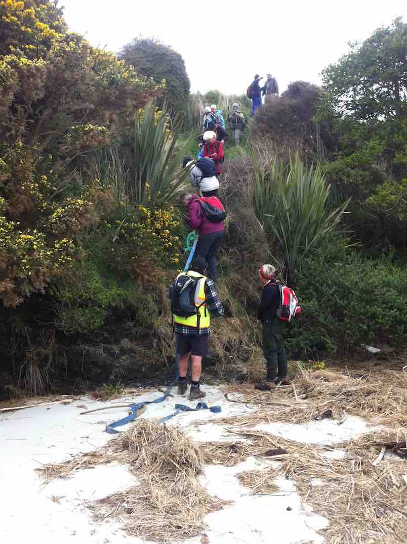
No beach, or none at this tide level. Bob led us along the outside of a fence upstream just a little to descend a steep back to a new beach where once the stream had flowed. He had provided us with a huge hawser rope tied to the fence and lengthened at its end with a strapping belt stretching right down to the new beach.
New beach. (John pic)
With its aid, we all made our way safely down the cliff-face, …
2nd descent
… each doing so in our own fashion.
We lunched there, finding seating on lumpy dry marram grass, on the new beach of sand that must have been metres deep. What a powerful transformation the high seas had made of the old mouth we had become accustomed to.
New Akatore mouth (See below in 2011 report, click on video of old creek mouth)
After lunch, Bob led us up the true left edge of the stream along an edge made very narrow with an ebbing tide that still had a long way to retreat. At the first point there was no option but to make one’s way around rock still surrounded by shallow water. Never mind. The rest of the way was dry, if pebbled with rocks larger and smaller in places, sandy in others. We made our way then up to the bridge where Bob introduced us to that steep road climb that takes one right up from sea level to the top where the road first turns down. It made for a good workout, giving hikers with their varying energy levels the chance to brave the climb at their own pace. However, beside the rope provision back at the lunch stop, behold there had also been Bob’s ute sitting down at the bridge for any who didn’t relish the prospect of the climb. But bravo, no one took it. And Bob was noble enough to leave it standing there, true to his leadership role, and climb with the rest, with the intention of walking back down later to retrieve it. Noble? Would might even say silly not to enjoy ride back up in triumphant style. Painful certainly, this reporter imagines. It’s a long hill climb to the top. Good on yer, Bob.
(It was too bad the ‘Nike + Running’ app fell over in a big way and has had to be re-down-loaded, – so no GPS record this time). This was a most interesting tramp, a replacement for the original one that had to be abandoned due to lambing. We all enjoyed the experience of a route the club had not done before, now made possible by the mighty changes the ocean had wrought on the Akatore’s mouth, and exploited by Bob. So thank you Bob (and sister Leslie!) for the planning and the advance provision of rope and ute. Great leadership! – Ian.
11. 26/11/2014. Hikers. Akatore Farm and Beach. E. Leaders: Leslie and Bev.
GPS of routeCuppa. (John pic)Lunch panorama. (John pic)Comfortable? (John pic)Paradise Duck Chicks in pond.
10. 26/6/2013. Trampers. Livingstonia Park to Akatore. Beach Walk.
On a day that could’ve turned to rain, [according to the forecast] 8 trampers turned up for the walk from Taieri Mouth to Akatore. This is a challenging walk over the beach rocky outcrops, with some easier sandy sections for good measure. In some places it is safer to take to the farm paddocks to bypass some deep splits in the rocks. We had morning tea at the carpark before leaving, as it was already 10am, then headed off down the beach. We reached the river mouth at about 12:30, & went in search of a sheltered spot to have lunch, as a bit of a wind had come up, making it a little unpleasant.
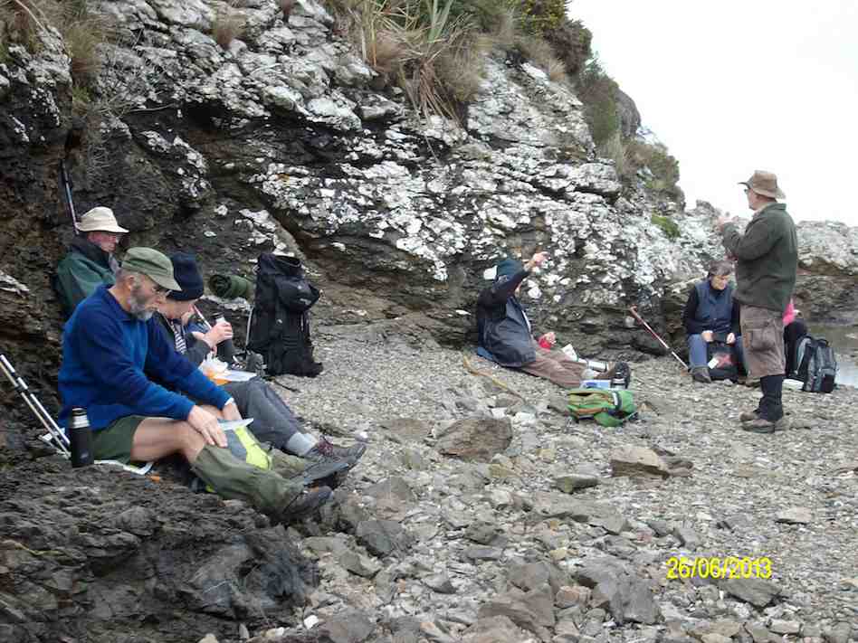
Lunch at Akatore River mouth. Pic has Pat obscured behind Eric. (Ken pic and caption)
We then retraced our steps, with two of the group deciding that the farm paddocks offered a better route back again. The rest of us did some beach, & some farm walk back to the cars, which took a bit longer than the outward trip due to tiredness creeping in. We arrived back at the carpark at about 4pm. (13.9km, 3hrs 44min, moving ave 3.7km/h.) – Ken
9. 8/2/2012. Hikers. Akatore farm walk. Akatore Rd about 5 kms from Taieri Mouth. Leaders: Bev, Chris.
8. 30/11/2011. Trampers. Taieri Mouth Livingstonia Park to Akatore. Beach walk.
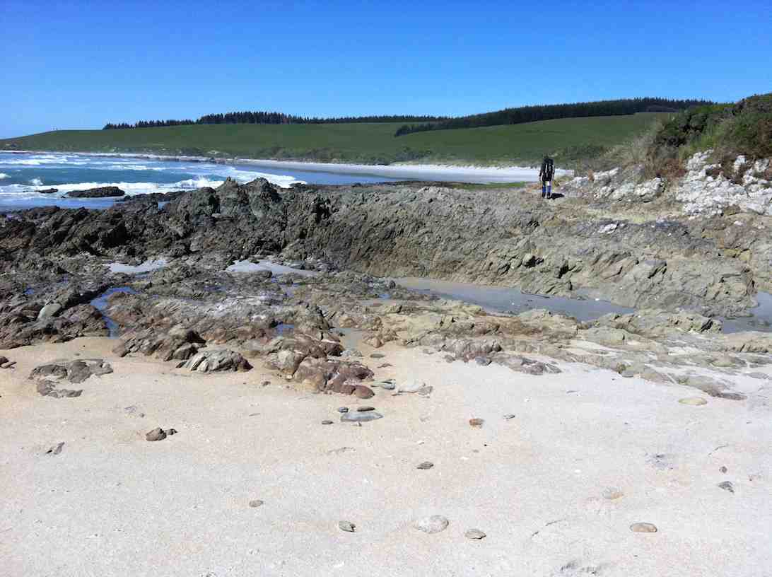
Welcome smooth sand ahead after extensive rock hopping …
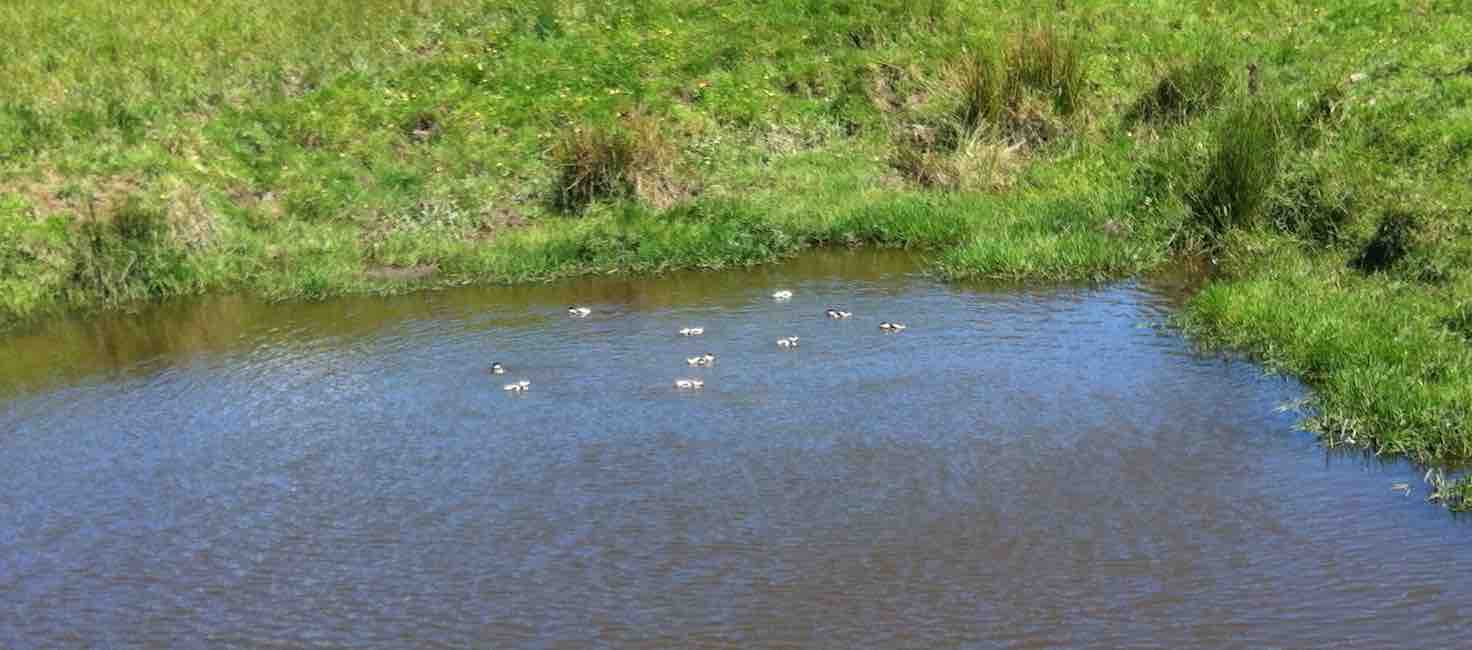
Five Paradise duck-lings in a farm pond. Couldn’t detect the sixth.
7. 15/4/2009 Trampers. Taieri Mouth Livingstonia Park to Akatore. Beach walk. Leader: Ria.
12 of us made the trip. A bit of a struggle for one or two but we all got there. Here George poses as an Indian shaman(?) in front of a cave.
click to enlarge
George
There were places where we had to clamber up to the paddocks before descending to the rocks again.
Bank climb Ian, Shaleen, George
This was a very narrow squeeze.
The narrowest squeeze. Wendy at back
The trip was well-timed, with low tide after 1.00 p.m. so there was room for plenty of rock work clambering …
Difficult descent. Pat, Ken, Joyce, Bill, Shaleen (in mid-flight), George, Doug
and beach sand. This is where we stopped for a pleasant cuppa.
Tea break. Lex, Ria, Bill, Pat, Wendy, George, Bob.
Five lunched down at the Akatore mouth, the rest content to dine in the paddock above.
Pat, George, Bill, Doug
The five “down at the mouth” are just visible from the paddock.
Akatore mouth from paddock. Ken, Shaleen, Doug, George and Ian at rear.
Here is just one of the ponds as we made our return, this time largely over paddocks.
Paddock walk return. Doug, Ian, Bill
Careful rock clambering challenged some, and for others the distance was a bit of a stretch. But it was another successful day with the weather remaining kind. – Ian
6. 6/2/2008 Taieri Mouth Livingstonia Park to Akatore Beach walk. Trampers. Leaders: Ria, Hazel.
Lunch stop at Akatore Stream mouth. Leonie, Keith H, Tash, Lex
Tramp Report for Wednesday February 6th 2008
A beautiful day greeted 16 trampers as we met at Livingstonia Park for the start of our walk from Taieri Beach to Akatore. Our leaders were Ria Lippers and Hazel Leslie who had done 2 recces to make sure they had it all under control as it was the first time the Taieri tramping club had done this walk.
Tea Break. Doug M, George, Keith, Glenice, Joyce, Pat, Bill, Ria
Tea Break. Carol, Tash, Keith H, Lex
It turned out to be quite an adventure as we scrambled up and down rocks between the lovely bays that stretched all the way along this stunning Otago coastline. The tide was at a tantalising level as the more adventurous felt it was possible to get round, while our leaders took the more secure upper route along the cliff top. It was great to have the choice. We had lunch where the Akatore River reaches the sea, an enchanting spot with crystal clear water and white sand. George had a paddle in the water and we all relaxed in the sun. The tide was coming in, so most of the way back was along the top grassy pathway, but we did manage to go along some of the wider beach areas. As we descended the rope walkway back down to Taieri Beach we were so surprised to see so many people sunbathing and swimming, all taking advantage of the amazing Waitangi Day weather. Carol and I couldn’t resist a quick paddle before returning to the cars where everyone was waiting for us !! – Tash
Beautiful day for a beach walk when 12 hikers parked their cars at Knarston Park. The tide was out so we were able to walk south along the beach for quite some way before having to go up a rope walk to the grass area above beach to get past an outcrop of rocks. Then back down onto beach and time to sit and relax with our morning tea. Such a lovely day and so clear, the views were great and sea bird life interesting. On down the beach until we came to another outcrop on rocks that for us, was impassable and we couldn’t find a place suitable for us to climb up to top. So we decided that although it was a bit early we would have our lunch and sit a bit longer than usual, just soaking up the scenery and views. Watched the tide gradually coming higher up a little inlet, examined some interesting seaweed and heard about some of the bird life from our expert, Lesley G. 12 happy hikers wandered back to cars along the beach mostly and all agreed we’d had a very relaxed and pleasant day.- Bev.
4. 26/2/1997 Akatore South Side. Leaders: Jack M, Hugh, Mary L. 3. 7/8/1996 Akatore Farm Walk. Average. Leaders: Jack M, Jean A, Ria H 2. 9/2/1994. Akatore. Medium. Leaders: Jack M, Eleanor, Judy & Rob 1. 30/1/1991 Akatore Forest Walks. Leaders:
The threatening weather report did not deter 16 keen trampers’ from turning up ready for a walk. The trip to Mt Watkins was postponed because of some of the track’s lack of shelter to the elements. It was decided to walk the tunnel and raceman’s tracks becausethey are in the shelter of native bush.
We parked and left from the school house area on Whare flat road. The tracks were in very good condition but a bit wet and muddyin places.
That was a tricky bit. (Gordon pic and caption.)Careful Don’t slip. (Gordon pic and caption.)
It was pleasant walking along the track adjacent to theold water race. Morning tea was appropriately had along from one of the tunnels.
Putting the world right over morn. Tea. (Gordon pic and caption.)
The Silverstream water race was built between1877 and 1881 and consisted of nearly 30km of open races, sluices, tunnels and weirs. In 1920 a pump was installed. Later pipes were partially in stalled with little success. It was abandoned in the 1960s.
We continued on walking briskly to ensure that we all kept warm. The native bush with all its array of greens was a pleasant sight. Lunch was had just before a creek crossing that could have been more challenging to cross!
A perfect lunch spot. (Gordon pic and caption.)
We headed back using a detour to avoid a loop on racemans. The bird song was pleasant on some parts of the tracks. The sun even briefly shone through the trees at times.
Still smilling. Heading to coffee stop. (Gordon pic and caption.)
On reaching our cars, after a few creek crossings,
1st & last obstacle. (Gordon pic and caption.)
we had completed 15.8 km. A good walk with plenty of cool fresh air! The temperature was 5 degrees when we returned to Mosgiel.
Coffee at Blend. (Helen pic and caption.)
It was a pleasure to share Helen’s birthday with coffee and cakes at Blend. – Dave
As the destination for the designated tramp [Swampy via Morrisons & poleline track] was covered in wet cloud, we decided at the carpark to just walk the Tunnels/Racemans tracks instead. This turned out to be a good choice, as the weather was fine all day in the valley.
Of the eight trampers that came along, two had never been in this area before, so it was a good opportunity for them to see the work that was done on this impressive old water race.
We had morning tea at the top in the pines, & then walked along to almost the junction with Little Coal track, where we stopped for an early lunch.
The pic is of our lunch stop (Ken pic and caption)
As I was recovering from two weeks off with a very sore back, [damaged while gardening — be aware, it’s not good for your health !!] I decided that I was going to turn back here, so I informed the others of my intentions, & they all said they would be happy to go back with me. [7km at this point]. So we retraced our steps back to the cars at the old school house, clearing some storm damaged vegetation as we went along.
The track was in mostly dry condition with only the odd muddy patch to contend with, & the creek crossings were very shallow.
walked 14km
4.3km/h
3h 15mins moving.
climbed 147m. – Ken.
15/4/2015. Trampers. Pumphouse, Tunnels, McRaes
Walked 9.6km
3.9km/h
2 1/2hrs moving time
climbed 275m
6 hardy trampers turned up to do the walk into the Tunnels & Silverstream tracks, which was, due to the weather conditions, chosen as an alternative to the Leith Saddle tramp scheduled for today.
We parked by the school house, & made our way up to the start of the Tunnels Track, but on arriving at the creek crossing, we found it to be far too deep & swift to attempt a crossing without getting wet feet. So we made the decision to go in from the pump house at the Whare Flat car park. We drove back down the road & restarted the tramp along the fence beside the Silverstream, & up & over the short but quite steep climb, to the grass are at the upstream end of the swing bridge. We turned up the first track just past here, & made our way up onto the Tunnels Track, then back towards the school house, to the start where we couldn’t cross the stream earlier. Then we retraced our steps, & walked all the way along to the creek crossing just past the Racemans Hut that has the tree down across it. This is the creek crossing with the ropes on the other side to help with the climb up the bank. here the water was also too deep, & swift to attempt a crossing, so we had a look at the Tunnels weir, then walked back out, & down an unmarked track leading down to the picnic table on the grass area beside the Silverstream. We had lunch here, then walked back out to the cars.
Conditions in the bush were sheltered, not very wet under foot, & very few muddy patches, so everybody enjoyed the walk. – Ken
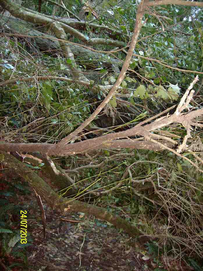
On a cool but what turned out to be a very nice winters day, 5 trampers took to the Tunnels /Racemans Tracks. However, we didn’t get very far before we struck the first of many snow damaged trees across the track. This made for very slow going, & we didn’t even manage to get to the favourite morning tea spot in the pines before it was time to stop for a cuppa. We met up with some guys who were supposed to be track clearing, from the DCC, but from what we could see, they weren’t doing much good. There are some VERY LARGE trees down across the track, which require some careful negotiation to get past.
Some of the fallen trees across the track. There is a large Rimu in there somewhere. (Ken pic and caption)
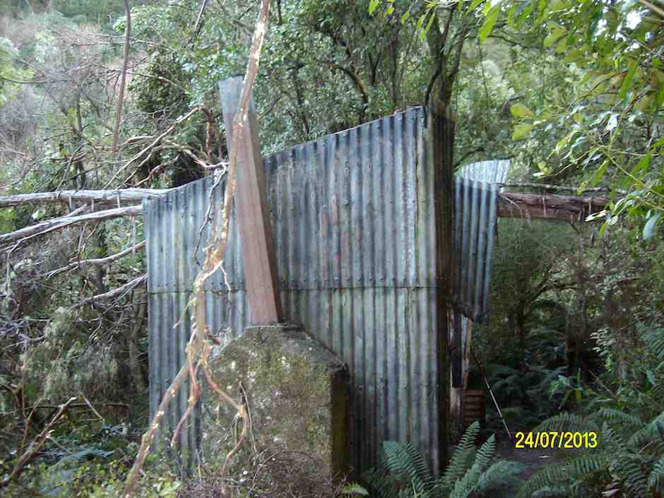
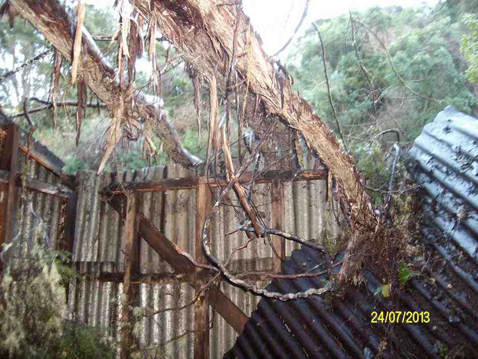
Also, looking very sad is the old Racemans shed.
Racemans Shed (Ken pic and caption)
It has a tree which has fallen right across the top of it, & the roof has completely gone.
Roof gone. (Ken pic)
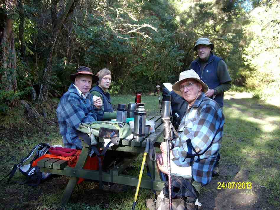
We only got as far as the creek crossing with the rope on it, when we gave up the struggle, as the creek was choked with fallen trees, & we could hardly see the other side where you climb out of the creek with the help of the rope. We backtracked to an unmarked side track down to the Silverstream, where we found a picnic table to have lunch at.
Lunch at the picnic table.
It was then a short walk out to the pumphouse at Whare Flat, & then back up the road to the cars at the old School house. Distance 8.2km, ave 4km/hr. – Ken.
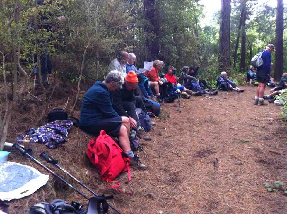
22 of us made a large group. Great. We had our morning cuppa at the top of the Tunnels track.
Morning Tea in the pines at the top of the Tunnels Track.
We made our way back on down to join with the McRaes Track and along to the weir. At this point, Dorothy, recovering from a hip injury wisely declined the steep rope-assisted climb up the further back of the stream and accompanied by three others, returned back the way we had come and down from there by a link track to meet us later at the Pumphouse.
The rest of us carried on around the McRaes track to lunch at the point where it links with the Racemans.
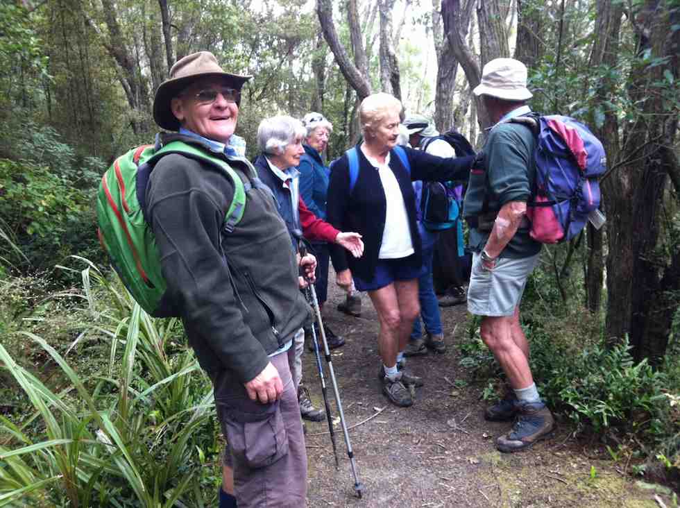
About to set off after lunch.
Down the Racemans and on to the swing bridge. Some elected to cross it and risk the depth of the water at the Pumphouse ford but most went by more hilly track along the Silverstream true left.
Up to that point, we were well led by Fred and Elaine, but from here on it was ‘Brown’s Cows’ back up the r0ad to the cars. We were all back home in time for afternoon tea.
Taieri Scenic reserve was unavailable, due to bulldozers working on a road. We chose a short Tunnels tramp instead, as heavy rain was forecast for the afternoon.
We stopped along Racemans for the morning tea break.
We continued on. At the short water-race pipe point, we dared some of the newer members to crouch their way through it. Amazingly, three took up the dare. Bravo. Then it was on past McRaes weir. The vertical climb out from the stream bed gets no easier for the writer, feeling his arthritic age.
Reaching the end of the McRaes side gully (to the Silverstream proper), we turned back down onto the first part of the Raceman’s track where it climbs up to reach the water-race. Had a look at the Pump-house’s intake weir. Climbed back up to the Raceman’s by the track near the swing-bridge, turning right at the top to climb back up the Tunnels’ hill.
Lunch back at the top of Tunnels track.
Lunch was slightly early, as we remained conscious of the forecast rain. We felt its first drops as we finished lunch. We heard the patter of rain on the leaves above us as we made our way back down the hill. We emerged onto the road by the alternative exit and walked back up to the cars with only the lightest of rain sprinkling us. A nice dry morning out, on a nice dry track in nice bush. – Ian.
4. 28/9/2011. Hikers. Pumphouse, road, Schoolhouse, Tunnels, McRaes Weir, Racemans, Pumphouse . Leaders: Peter and Wendy.
GPS of trip route, courtesy Ken. (Click to see full pic)
21 of us started the Tunnels track just up from the old Schoolhouse and down the track a little were soon admiring a railed bridge over a ditch and a new track complete with steps around the top of a large slip, put in by Neil and his group of track repairers. The track gently climbed to its top point over the race tunnel where we stopped for an early morning tea under pines, resting on their bed of thick pine needles.
Tea break, top of tunnels hill. (Ken pic)
Tea break 2
The track had been beautifully cleared of trunks and debris brought down by a recent storm and we quietly ambled along the long stretch that eventually took us past the old Racemans Hut to the broken-down McRaes Weir. Across the stream we were confronted with a washed out vertical bank with only a knotted rope and some steep cut-out steps, but with the bottom one now missing. There ensued much pushing and pulling, and slipping and collapsing as we made our various ways up to the top of the bank.
Steep climb out of McRaes Stream
Then it was plain sailing (apt metaphor?) again out of the large McRae’s gully till we reached the junction with the Racemans where we stopped for an early lunch.
Lunch at junction McRaes and Racemans. (Ken pic)
From there we descended the Racemans to pass the old Silverstream weir and inspected the weir from which water is now piped to the pumphouse. We elected to return via the swing-bridge because there had been a tree-fall over the true-left track. Crossing the ford at the other end was not the happiest part of the walk for some. Then it was just 2 km back up the road to the cars parked at the old Schoolhouse. The day was perfectly calm with much of it sunny, if not hot. It had been a good day. – Ian
Permissions from Mt Gowrie Station, Strathview Station, Calder Station.
13. 20/6/2019.Trampers. Deep Stream Pipeline from SH 87. M. Neil M. and Carol.
A fine but cool day dawned for the 10 trampers to depart for the big bend to start the Deep Stream walk to the East. Now just because it’s called a pipeline doesn’t mean it’s flat. Once the water is in the pipe the line goes up and down continually. In fact going by past reports for the distance we walked we climbed over 700 metres.
We left the cars about on the hour of 10.0 and walked up
Throwing our shadows o’er Jack Frost (Phil pic and caption.
to the top of the first hill on the line in about 20 minutes, so a break was called for coffee and smoko.
M:Tea. Great view. (Gordon pic and caption.)
After that, onwards and what do we find but the first big dip.
Quite a bit of uphill. (Gordon pic and caption.)
From where we had coffee/ tea one could see the track in the distance but not all the gullies we have to go through, which could give one the wrong impression of this walk. Although the day was cool, it did warm up as the hours ticked by. We arrived at the high point in the walk about 12.15pm for lunch where we could see back towards Mosgiel and Saddle Hill. A good view all round.
Now the return trip started about 1/4 to one and we arrived back at the road by 3 o’clock. One noticeable thing about the return trip, there wasn’t as muck talk.
Last steep pinch. Gordon pic and caption.)
Maybe some were getting a little tired. Well, we walked about 16 kms and probably climbed more than 700 m so not a bad effort.
At this stage of the day, coffee calls, so we stopped at Clarks Junction Pub – come cafe, to satisfy these cravings before returning to Mosgiel. – Neil and Carol.
12. 22/6/2016. Trampers. Deep Stream Pipeline from SH 87. M. Leader: Neil M.
10 Trampers left Mosgiel at 9.30 am. It was somewhat cloudy with a very gentle breeze but pleasant conditions.
It was 10.10 am when we left the cars and from there an approximate 30 minute tramp before morning tea.
On a few occasions the pipeline and relief flues surfaced …
Pipeline. (Helen pic and caption.)Looks like a bird to me. (Helen pic and caption.)
… whereby Peter gave us a lesson about hydraulics (water pressure and air bubbles) before disappearing again …
Pipeline and some nice rocks. (Helen pic and caption.)
to wend its way …
Track. Very deceiving as no flat. (Helen pic and caption.)
… through stunning country of craggy rocks, sheep pastures, Deep Stream/Creek and even a lone, healthy hebe.
The many ‘ups’ were balanced out by ‘downs’ and that led us to a 12.30 pm lunch stop …
Group at lunch time. (Helen pic and caption.)
…from where we looked across to the Rock and Pillars on the west and the Kakanui hills to the north.
At 1.00 pm (after squeezing an extra 5 minutes out of our keen-to-get-going leader) we left the well-placed rock tables and seats and headed back by the same route.
Having walked 15 kms in 4 hours moving time and 720m height rise total, we arrived at the cars at 3.00 pm. Huffs and puffs had subsided at this stage and would shortly be replaced by sips and slurps of coffee! – Carole.
11. 13/5/2015. Trampers. Deepstream/creek pipeline where it crosses Hiway 87.
GPS of Deepstream pipeline – North. Courtesy Ken. Walked 16km; 3h 53m moving; 4.1 km/h; climbed 982mtrs [this is probably the most climbing we have done on a day’s tramp so far]; none of the climbs are very long, there are just so many of them.
For the Wednesday tramp, I changed the location, due to the difficulty of contacting the landowners [possibly 5 or 6] of the properties we needed access to. I don’t know why people have phone numbers, if they can’t answer their phones, or reply to messages left on their answer phone. I don’t think I will be putting the Omimi/slaughterhouse tramp back on the program ever again.
So, we went to the Deepstream/creek pipeline where it crosses Hiway 87, & proceeded to walk along the pipeline track towards Mosgiel. There was no set destination here, so it was just walk as far as we wanted to go, then return back the same way.
As there was a cool breeze blowing, we struggled to find a suitably sheltered spot for morning tea break, but eventually found a gully with not much breeze.
1 Morning tea stop. (Ken pic)
Then we ambled along admiring the view into the river below as we went. We found a very nice spot to have lunch in the sun, & almost completely devoid of wind, so it was a reluctant group that packed up their gear, & headed back out again.
This track has lots of up’s & down’s, so is quite a good workout, but I hope the walk was enjoyed by all. – Ken.
10. 18/7/2012. 8 Trampers. Hindon-Deep Stream Pipeline. Half of full distance. Return. Medium.
GPS of route. We walked 13.8km. GPS records level distance only so probably did close to 14.5 or more up and down. Total height climbed: 660 mtrs. max elevation 447 mtrs. Moving ave. 3.7km/hr Moving time 3hr 46min. – Ken (edited)A large ‘thing’ in the only cutting on the pipeline.Panorama of our lunch spot. Pines of homestead on skyline.
9. 9/7/2008. Trampers. Hindon Pipe Line from Highway 87 to Wallaces Ford Road. Easy+. Leaders: Ian, Ria
Permissions from Mt Gowrie Station, Strathview Station, Calder Station.
The pipeline stretches into the distanceAn interesting feature
A better day couldn’t have been provided. We were in the centre of a strong high pressure system that provided clear, sunny skies, a warm calm, and a quiet peacefulness, broken only by a gaggle of garrulous gulls over Deep Stream and the occasional baaing of sheep, while the remains of the snow from earlier in the week defined the lee edges of gullies against green pastures and brown tussock tops, providing us with a glorious panorama (taking in Maungatua, Silver Peaks, Rock and Pillar, Kakanui ranges). Our route was open and easy to follow and the track was broad and grassy. We had interesting man-made features, ie the Deep Stream pipeline, to accompany us.
And we had 14 companions whose enjoyment of the day we could share.
Six at a gate. George, Evelyn, Bruce, Who?, Hazel, Lex
Bliss. Except, that is, that vigorous debate about the means of ferrying ourselves and cars from start-point drop-off at Deep Stream Bridge on Highway 87 to finish-point collection 15km downstream at Wallaces Ford Road took up quite a bit of the ride. Bruce reminded us of the old puzzle about the ferryman who had to transport a fox, a hen and a sack of corn across the river only one at a time not leaving two together when one would be devoured. (We did solve it.) And except for the fact that we were also on a roller-coaster ride. The benched track we were following that was the access road for the construction of the pipeline looked to be horizontal from a distance, but of course, Deep Stream is appropriately named and its contributories have a similar character. So we sang, “And when they’re up they’re up, and when they’re down they’re down, and when they’re only halfway up, there’s still more up and down!” as we crossed the gullies.
Looking back down at the longest and steepest climb out of a gully
But what a feat the pipeline is, bringing water 60km from Lammerlaws to Dunedin, with siphon after siphon traversing the deeply-incised landscape. So we admired the weather, the landscape, the engineering and our good fortune at being able to appreciate it all! Thanks to Ian and Ria, and to Ken who regrettably missed all but the recce. – Bob
8. 27/6/2007. Trampers. Deep Stream Bridge, Middlemarch Rod, Hindon Pipeline. Medium. Leaders: Arthur and Barbara. 7. 7/8/2002. Combined. Hindon Pipeline. Easy. Leaders: Ria L, Mary L, Joyce. 6. 8/3/2000. Deep Stream Pipe Line. Leaders: Bev H, Colleen, Pat. 5. 15/7/1998. Hindon Pipeline. Leaders: Bob H, Ian 4. 9/11/1995. Trampers. Hindon Pipeline. Medium. Leaders: Ria L, Catherine, Peg C, Judy C. 3. 2/8/1995. Deep Stream Pipeline from Middlemarch Road. Medium. Leaders: Ria L, Catherine, Doug and Mairie. 2. 20/5/1992. Deep Stream from Middlemarch Road. Average. Leaders: Ria L, Evelyn M, Catherine, Shirley McN 1. 25/10/1989. Deep Stream. Middlemarch Road. Average. Interesting country. Leaders: Ria, Mary McG, Mary Y, Hugh and Judith.
No. 1 on old hardcopy list of 113 club tramps. “Maugatua Microwave. J Roy. Year Round.” Permissions from Horsehoof.
Distance from car-park: 24 km.
22. 29/5/2019. Horsehoof, – Maungatua. M. Arthur.
18 of us set off from Mosgiel and travelled through Outram and turning left off on a road into Horsehoof Station. Clear looking sky and the anticipation of a great day.
Parked up in the paddock, we set off up the first hill. The wind was very cold and strong up there, brass monkeys were the call, and numerous layers the call, jackets and hats also.
We stopped in a sheltered spot for our morning tea. Farm trackended and then it was onto DOC land and tussock.Not much track at all and quite hard going. The odd slip on the terrain.
Making it to the top
Finally the Summit. (Gordon pic and caption.)
where photo shoots were taken.
The new Saddle Hill volcanic crater.(Phil pic and caption.)
Great views but soooo cold and windy. Decided to go back to some shelter in the tussocks for lunch.
Lunch out of the wind. (Gordon pic and caption.)
Back up to the corner of Horsehoof,
Out of the West ( Mahinerangi in background) (Phil pic and caption.)
and with three going back down the start track to look for poor old Dave’s iphone lost on way up, while the rest of us went the longer way.
Two things sprung to mind on this tramp. If you go a different direction you need to let the leader know for safety reasons.
Lunch needs to be finished by everyone before some start on their way.
All in all a great tramp in some windy conditions, travelling 14kms. Refreshments well received
Coffee. (Helen pic and caption.)
with great service at the Wobbly Goat in Outram Helen.😉
MAUNGATUA DEBRIEF
It saddens the leader to have to write these notes, due to the fact that a few of the group completely ignored the club’s Safety Rules up on Maungatua.
The club formulate these safety rules many years ago, which were updated 2-3 years back. All new members are given a copy when they join, and they are on the club’s website. (v. Page 7a.) Everyone should be familiar with them.
There is nothing difficult about these rules, just simple common sense things (but of course, as they say, common sense isn’t common any more. (A detailed email is going out to all members about this) – Art.
21. 27/2/2019. Maungatua. M. Leader: Gordon.
A Fairy Tale.
Once upon a time 12 happy trampers set out to climb the big mountain of Maungatua. They wanted to get to the top, and were very determined.
But the nasty rain came just as they set out, and the cold wind joined in to make things unpleasant for the 12 happy trampers.
The cloud came down too, to hide the top of the mountain, but that was no deterrent either. Jackets and gloves kept them warm.
Uphill they went, on the good 4WD track, into the cloud and with the wind and rain attacking them.
In time they were high up on the mountain, and stopped to have their morning tea in the slight shelter of a little hut, beside some aerials.
After a brief stop to enjoy their hot cups, discretion was decided upon, and the 12 happy (still) trampers returned back down the mountain to their cars.
But the 12 happy trampers had had a good morning’s exercise, covering more than 6 km and the rain and wind had given a good test to the weatherproofness of their clothing.
Feeling a bit wet and cold, the 12 happy trampers drove back to Mosgiel, returning safely to their homes.
And they all lived happily ever after! – Art.
20. 10/5/2017. Trampers. Maungatua trig via Horsehoof. M. Leader: Arthur.
Clear skies, a light breeze, and lots of sunshine gave perfect conditions for our tramp up onto Maungatua. The cars were left high up beside the farm road on Horsehoof, a group of 13 happy trampers setting out from here on the uphill dozed farm track.
About halfway up morning tea was taken, with stunning views to enjoy at the same time, in the clear air.
Onward and upward, we reached the top boundary of Horsehoof Station, and climbing through the fence were in the DOC reserve which encompasses all of the top of Maungatua. It was then single file through the tussock and turpentine shrubs on the faint track.
We stopped to admire the Big Rock,
The beautiful rock. (Helen pic and caption.)
photos being taken of the group.
The group of 12 plus me. (Helen pic and caption.)
Just as we were preparing to move on a pair of N.Z. falcons flew in and landed on top of Big Rock just above us. They weren’t at all worried by us humans, and it was marvellous to see them there.
In single file we moved on, and eventually came to the summit post at 12 noon – perfect timing for lunch.
From here, on the highest point (895 metres) we could see in all directions – 360 degrees. A huge fog bank right down the coast totally hid the sea and the Otago Peninsula, but the land was in clear view as far as the eye could see. What terrific scenery.
Margreet pic.
Lunch over we began the return journey, which meant retracing our steps. With an occasional brief rest/regroup stop, we were back past Big Rock, through the fence onto Horsehoof again, and down hill with a brief uphill bit to reach the cars.
A group of 13 happy trampers had had a great day, walking a total of 12 km. The perfect weather certainly added to the enjoyment of the day.
But, the tramp finished too soon (obviously too short), as it was necessary to stop in Outram for a while on the way home so that discussion that hadn’t had time to be had during the tramp could be concluded.
The leader was particularly pleased to have such a good turn out of trampers today – thank you to all. – Arthur.
19. 11/1/2017. Hikers. Maungatua Big Rock and Trig via Horsehoof. M. Leaders: George and Ian.
It wasn’t the best tramp to ease into after the relaxing holidays. However the easier programmed Kuri Bush beach walk had not taken the tide times into account. What to do? Something inland. George scouted Saddle Hill (summit not tackled by the Hikers since 2010) and Horsehoof (last done by the Hikers 2011). Relevant property owners for Saddle Hill could not be reached, so Horsehoof and Big Rock then.
Seventeen turned out on the day. A respectable number, given that some members were still on holiday. Admittedly the road entrance to Horsehoof is easily missed, as happened to some on the day, but eventually all the cars arrived and drove on up to park in the high paddock where the FWD track to the top corner of the station starts. At about 690m here, we had already made good inroads on Maungatua’s Big Rock elevation of 880m.
It was still a bit early so we trudged through that first unavoidable gully to merelyregain the cars’ height a kilometre or two further on, finding a bank to sit on for morning tea.
(Clive pic.)
No more gullies now but it was up, steadily up, with frequent regrouping stops to eventually reach the Horsehoof Station’s top corner. At 865m effectively all climbing was behind us. We had gained 225m since leaving the cars. One of us elected to stop here and await the return of the others, and Mollie, who hadn’t wanted to miss the chance of revisiting Horsehoof, was happy to keep her company.
Now it was 15 who scrambled through the fence onto the Maungatua reserve to push on through the tussock and dracophillum (turpentine bush) till we reached a point opposite to the Big Rock.
(Clive pic.)
Here, along with George, ten were happy to make this their destination stop,
(Clive pic.)
while a remaining group of five carried on with an assurance it was only another half hour to the trig. W-e-l-l not exactly. More likely three quarters, as one found the going harder than others. But we got there! Or rather two did.
Made it! 895m.(Ian pic and caption.)
Too bad,the other three had stopped off short of the last rise and lunched. However with the encouragement of the trig returnees (or is it returners?) they were encouraged to push on so that they could say they had made it too. And they did!
On the return we discovered the hypotenuse short-cut that avoids a right angle in the fence and which we had missed on the way in due to overgrowth disguising it at its other end. A shame. It needs a fence indicator.
When we arrived at Big Rock, we discovered the ten others had long since given up waiting for us, and were back waiting for us when we straggled up the last weary slope up to the cars – at least weary for this writer.
So there it is. A good traditional tramp perforce resurrected for the hikers by an unfortunate tidal assesssment. And an enjoyable stop and chat at the Wobbly Goat to finish it off. And roll on the better weather. – Ian.
18. 10/2/2016. Maungatua Summit. Leader: Arthur H.
Horsehoof Station to maungatua peak. GPS of route, courtesy Ken. (Ken pic and caption) 13.2km; 3.7km/h; 3h 33m moving; total ascent 409m; max height 900m
Nine trampers set out in ideal conditions to conquer Maungatua. The day was sunny with some high cloud. The breeze was light all day – westerly, then changing to southerly for a while, and then died away altogether.
We drove in through Horsehoof Station, up the road towards the microwave. A car shuttle was set up by taking one car back 2-3 km, leaving it at the top of the hill above the woolshed.
We took the dozed farm track that winds its way up to the top of Maungatua, stopping for morning tea at a suitable spot.
We reached the top of the track, where the small shed and various aerials are situated, at 10.50 a.m. Climbing over the fence we were then in the DOC Reserve, which covers a large part of Maungatua.
From here there is a faint track heading to the summit, which is some 2.5 km away. This is undulating country.
We soon came to the large tor, and stopped for several minutes to inspect and photograph it.
Side trip to rock tor (Helen pic)
Continuing on along the track, which follows the fence line, we gained the summit a few minutes before 12.00 noon. A black and white painted post now marks the spot, …
“Trig” post with rock placed on top by one of the party. (Helen pic)
… and is visible from a short distance. Sitting down in the tussock, we had a relaxed lunch on the spot. The slight breeze was just a tad cool, we noted.
Lunch at the “trig”
From the summit there is a great 360 degree view, but unfortunately haze in all directions spoiled this somewhat.
Half of the group had a look over the brow, down in the direction of the 3 Kings -which isn’t visible. All of us then picked our way through the rough vegetation, in an easterly direction, to get a better view down on the Taieri Plain and Airport.
Making our way back up to the track, we returned along it to the shed and aerials, and over the fence. A brief stop here, where it was noted the altitude was 865m, compared to the 895m at the summit.
We now walked down a 4WD track through the tussock, following the western spur.
On fence line track well down to the Lee Creek gully showing ‘uphill grunt’ on other side. (Helen pic)
A restful stop was made at the bottom, in the shade of the beech trees at the north branch of Lee Creek. A short uphill grunt gave a “tang” to the end of our tramp, and we were soon back at the “shuttle” car.
All agreed that it had been a good tramp and an enjoyable day. This had been a first time for most.
Seven held a debrief at Outram on the way back home.
Coffee at Outram. (Helen pic)
The tramp distance was 13.2 km. – Arthur H.
29/3/2010. Private. Horsehoof, Maungatua Trig.
GPS of route from car to trig
At the Maungatua Trig (1)
At the Maungatua Trig (2)
17. 4/5/2011. Both. Horsehoof upper paddock to Big Rock. Medium. Leader: George.
George had recceed the programmed McKendry Road tramp and found the mud too squishy and the undergrowth too thick so elected to fall back to Horsehoof Station again.
We took the cars on through several gates to the paddock that gave us a shorter walk up to the paddock corner at the top.
It was a misty day, but at our tea-break the weather cleared to reveal the wind turbines beyond Lake Mahinerangi.
Beyond the fence at the top corner, we went on to negotiate the turpentine shrub (dracophyllum longifolium), tussock and alpine moss to reach the large rock for an early lunch.
A cool westerly wind drove us to shelter in a cleft in the rock’s SW side.
A sheltered lunch spot.
An interesting bank of fog in the west.
The tarn beyond the big rock.
Obviously scientific, an exclosure on the tarn.
After all that, we returned the way we had come back to the cars. A good outing. – Ian.
16. 15/9/2010. Trampers. Horsehoof to Big Rock. Medium. Leader: George.
Walked up the 4WD track that went by the Microwave.
Morning Tea break. George. (Emma pic)
Lunched at the Big Rock.
Keith and George at the Big Rock. (Emma pic)
Returned back down through the Woodside Creek gully.
15. 6/5/2009 Both. Horsehoof Station. Bridge over Woodside Creek, top corner, back down the more regular farm road. Medium. Leaders: Bruce, Wendy.
Many were discouraged by the wet morning start, but 8 of us enjoyed a farm walk on what turned out to be an cold overcast day (which we were well wrapped up against) interspersed by sun at morning tea and lunch. From the regular parking spot, for a change we turned down steeply click to enlarge
Descent to bridge
to cross the Woodside Creek upper tributary nearby
Woodside Creek
and to then climb steeply
Climb ahead
to enjoy a cuppa at the set of rocks a little way up.
Cuppa.
Then to carry on up to the top corner of the station. This was a route the club hasn’t taken for five years and more. We forewent going on to the big rock and tarn through the rather heavy wet dracophyllum we would have had to struggle through, so lunched at the top under the shelter of a bank
Lunch in sun
and returned by the more regular farm track.
Rock and Pillar Range in sunRecycled car bolstering bridge. Wee waterfall behind.
We all enjoyed a good tramping day but regretted there were not more to share the walk with. Bruce stood in for Marjorie who was indisposed on the day. Our thanks to Wendy and Bruce for their leadership. – Ian.
This turned out to be a tramp from Horsehoof Station rather than from the advertised Allendale Farm. So it was simply up by the regular farm road to the Maungatua Trig and back. click to enlarge
Decorated Trig. George, Hazel, Ria, EmmaSaddle Hill from Maungatua
What was different was the wind measuring masts
Mast for measuring wind?
and various markers presumably installed by Trustpower. A breeze pleasantly tempered the heat of the sun and 8 of us enjoyed a tramp in the tussocks and Maungatua top with the George making it easier and shorter by having the two cars parked further up the hill than on previous tramps. – Ian
13. 27/8/2008Trampers. Horsehoof Station Upland road-walk Leaders: Ian, Ken
Winter conditions decreed a firmer road walk in place of the anticipated soggy ground we would have encountered at the Flagstaff big rock. So it was Horsehoof Station for a look at the fast disappearing snow conditions. click to enlarge
Drift snow remains. Ken
Seven of us set off from our cars parked down at the shearing shed and walked steeply up in the general Maungatua direction. It was a good walk in the fresh air with general sunny conditions turning to threatening clouds later. The breeze was fresh but sheltering in the lee of a gully made for a comfortable morning tea.
Lunch was on the sheltered side of the repeater station,
Emma and Glenys approaching the Microwave. George ahead.
reached by cutting across a couple of wet gullies swollen with fresh snow runoff.
The return. Bill, Pat, Emma
A shorter day but the sun was out most of the time and the views and company were good. – Ian
The return. Bill, Glenys, Emma.
12. 18/6/2003 Horsehoof Station walk. Leaders: Shirley M, Bill & Pat.
Lex, Doug J, Arthur, Doug M
Snow on NE Maungatuas
11. 16/2/2005. Both. Maungatua with Summit option. Leaders: Val and Brian, Arthur and Barbara. 10. 18/9/2002. Microwave – Maungatua Summit. Medium. Leaders: Ria L, Barbara and Arthur. 9. 21/11/2001. Maungatuas Summit from Microwave. Medium. Leaders: Les W, Mary M, Shirley R. 8. 27/6/2001 Leaders: Claude, Bill, Pat 7. 8/12/1999. Maungatua, Microwave. Leaders: George, Hazel, Graham. 6. 18/8/1999. Microwave to Maungatuas. Leaders: George, Doug M, Hazel. 5. 3/12/1997. Microwave to Maungatua Summit. Leaders: Bob H, Judy C, Sabina. 4. 18/9/1996. Maungatua Trip, Micro Stn, Loop and return. Average+. Leaders: George, Ian, Nelson. 3. 6/12/1995. Microwave to Maungatua Summit. Medium. Leaders: Bob H, Jean, Ria H, Jack R 2. 26/8/1992 Leaders: George, Les W, Peggy A, Peggy M 1. 10/2/1989 Leaders: Graham, Shirley, Wendy
13 Trampers did a circuit today, on tracks that have been kept clear in recent years by volunteers from the Club.
The circuit was as follows – up the full length of Swine Spur Track, which took us high up on Swampy, right along the road, down Porkies Track, left on Possum Busters, right onto Smithys Track, and then down Steep Track to Lake Whare, finishing with a short road walk back to the cars.
The day was overcast and cool.
Heading up Swine Spur tr. (Gordon pic and caption.)
Morning tea was taken almost at the top of Swine Spur, after the hard climbing was done, …
Moving on after morning tea. (Gordon pic and caption.)At the top of Swampy. (Helen pic and caption.)
… and with a good view.
As we started down Porkies
Walking down before the rain started. (Helen pic and caption.)
low cloud began coming in from the city side over the ridge and on Flagstaff.
Crossing one of numerous creeks on way home. (Gordon pic and caption.)
The day was deteriorating now, and light rain began to fall at 12 noon (the forecasters were spot on).
A little later we stopped to have our lunch, but the tree canopy was leaking on us – and they the sky opened with heavy rain falling.
Quickly packing up we moved, and to save time took the shortest way by going down Steep Track (well named).
Being in he lead I couldn’t see back, but from the squeals, and other expressions of glee from behind, it was obvious that all were enjoying the descent as they swung from tree to tree!
We were soon down, and then visited Lake Whare, as the rain was mostly past now.
Distance for the day was about 8.5 Km. Back to Mosgiel, where thoughts of a hot shower was much more inviting than stopping for coffee, but it had been a good day out. – Art.
7. 8/11/2017. Trampers. Swine Spur. M. Leader: Dave.
Last Wednesday’s tramp could have been called a number of names and probably was!!
(a) Swine spur – was it the pig rooting or the steepness of the trail in a gale?
(b) A walk on snow in wintery gale conditions in November or
(c) How many differently named tracks can you do in a day?
Ten keen trampers’ left the car park having some idea what the weather might be like for the day ahead. We parked in Rollinson’s road just below the bridge adjacent to the entrance into the bush with the sign ‘swine spur’. The bushes and trees were wet from the rain the night before. It was pleasant walking through the Kanuka with lots of clematis flowering. However it wasn’t long before the colour of the track resembled the colour of the clematis! SNOW WHITE!!
Started off in snow.!! (Helen pic and caption.)
As we wandered up the track the snow got thicker and the wind got stronger. We decided to have morning tea in the last bit of shelter before the track upwards became exposed. The wind was very strong – we could just stand up! Keeping together we supported each other, through flax and dracophylum, up to the top to the green building on Swampy. The wind was so strong that there was little shelter even behind the building.
A very short break and then we followed down ‘swampy ridge road’ until we reached ‘Porkys track’ – this faced into the gale. We slipped and slid where the snow lay on the grass. Gradually we headed down to where the shrubs became trees. After a while we came to a track junction and then followed ‘possum busters track’. There were a number of creeks, full of water, from the rain the night before. To cross – you had to get wet again!
Tricky creek crossings. (Helen pic and caption.)
A welcome lunch was had amongst the trees in the shelter.
It was then on to the junction with ‘smithies track’ which we followed for a while through attractive natives. ‘Whare Loop track’ was then followed to Whare lake.
The group at Lake Whare. (Helen pic and caption.)
At this spot the Maoris of the past used to soak the flax in the lake – later making both twine and linen. See Flax in New Zealand – Wikipedia. The remains of a stone house were inspected before completing the loop and out onto the road where the cars awaited. A distance of approximately 10.2 km was covered.
The group decided to go for a well, deserved coffee at a usual coffee shop but alas the power was off, probably because of the winds. We soon found another where we recounted our adventure which was enjoyed by all.
Many thanks to Neil M and Arthur for the track clearing they have done, this was very evident. Others have volunteered to help them.
Swine Spur route done. Red indicates the heavy Swine Spur work, yellow the faster road work!
At the car park, the trampers lacked a leader knowledgeable of the Swine Spur track programmed for the day, so this hiker was dragooned into going with them, with his traitorous act objected to strongly by one of the hikers (who shall considerately remain nameless) with his friendly invitation for the writer to never go with the hikers again.
A careful inspection of the access road roadside eventually elicited the heavily grassed over entrance to the Possum Busters track. We made it through Manuka-Kanuka wood and the two steep guts of Mckenzie Creek and the other unnamed one, to stop for the cuppa at the traditional stop at the intersection of Possum Busters and Swine Spur tracks.
Then we turned left up the Swine Spur through the easily graduated track that was to inevitably bring us to the foot of the near vertical strenuous climb to Swampy Ridge roadway.
A word of appreciation here of the sterling track clearing from the route of all the impedimenta the once-in-a-life-time wet snow storm of last August brought down across it. Bravo, you track clearers! It was obviously a massive job.
Anyway, we reached the small concrete-block aerial navigation building sitting there at the top and turned left along the road to pass the Airways Corporation combined VOR (VHF Omnidirectional Radio) and DME (Distance Measuring Equipment – where’s an easier name?) setup to head down the access road. We forewent going on through Swampy to Hightop, as had been programmed, indulging in an easier day instead. (A concession to the hiker, the writer suspects.)
Well, that was to be just a boring road walk back to the cars, but most pleasantly interrupted with a lunch stop at the 0ld-trampers’ picnic area at the head of the Steve Amies track. With all the time in the world, we just lazed there around the tables before eventually deciding to head back out and down to the cars. We arrived back at the car park BEFORE the hikers! One for the record book? – Ian.
Navmap of tramp, courtesy Ken. Rollinsons Track at top, part of it hidden on slope behind Swampy Ridge
Ria and Hazel led us into the start of Possum Busters from off Rollinsons Road. The two deep gullies were still there, but with the steep banks provided with wonderful sets of steps. Bravo, track-clearers. We stopped for a tea-break at the Swine Spur junction, wishing we had the tools to re-attach Les Murcott’s track signs to the remaining-standing manuka trunk. Then it was up the gentle incline of the Swine Spur track before it steeply climbed onto the actual Swine Spur.
Snow on track near top of slope of Swine Spur.
We were delighted to find the last bit onto the Spur was now a well-defined route, replacing the half-dozen or so attempts through the over-grown area. Reaching the top, we stopped for a brief shelter from some cold wind.
Sheltering from wind at building at top of Swine Spur.
Then it was along the road to Swampy Summit.
Snow on Swampy Summit
The Swampy Summit Track beyond the summit led us down through slippery frozen snow and on to our next turn-off. The Rollinsons Track was well-indicated and its route well-defined with copious track markers. Another good change from a time when it was really hard to detect parts of the track. Again, thanks to some excellent recent work by some good people, added to by our leaders on their recce.
Lunch scene. Foreground: track marker on bush, background: left to right, Pulpit rock, Silver Peaks No. 2, Rocky Ridge, The Gap.
The track kept high on the slope, avoiding the wetter parts of Swampy.
Tarn at heart of Swampy
The track wound its way back up and out of Swampy to join with the Rain Gauge track. Again, the track sign had been clearly renamed “Rollinsons” instead of the “Swampy Tarns” sign that had been put over the old faded sign. Then it was just out to Rollinsons Road at the hairpin bend and on down to the cars.
Thanks to Ria and Hazel for this lovely tramp over the whole Rollinsons again – a replacement for the trip into Jubilee Hut that had been thoughtlessly scheduled for during lambing. – Ian.
4. 15/3/2006. Trampers. Rollinson, Burns, Swine Spur. Medium+. Leaders: Doug J, Ian, Shirley. 3. 30/4/2003. Both. Access Road, Rollinson Track, Swampy Saddle, Swine Spur Track. Medium+. Leaders: Ria, Bill and Pat, Denise, Anne R. 2. 19/9/2001. From Access Road, Rollinsons Track, Swampy Saddle, Swine Spur Track. Medium. Leaders: Ria L, Doug and Myrie, Joyce. 1. 6/7/1989. Frozen Tarn on Swampy.
Frozen Tarn on Swampy. Alison Kerr, Jean Allen, Ria Hakkart, Mary Young, Leis de Yong in foreground. (Ian pic, scanned from Peg Chisholm photo collection.)
3. 13/2/2019. Trampers. Mountain Road to the Silverstream. Hard. Bus. Leaders: Arthur and Eleanor.
The sun was shining brightly in a clear blue sky as Bob the Busman (no, not Bob the Builder) transported 16 eager Trampers to Mountain Road for the day’s adventure.
The tramp started at 9.35 a.m., with the first objective being Pulpit Rock.
Afters 30 minutes, morning tea was partaken of trackside – in the shade, as the heat was building.
A brief rest stop was taken at Green Hut (site), and then again, briefly, after the short stiff climb just after.
Past Green Hill, and then up the steep climb towards Pulpit Rock. Puffs of a lovely cool nor-east breeze were very welcome assistance here, although the group got well spread out anyway.
Heading to Pulpit rock – Steep. (Gordon pic and caption.)Not long now. (Gordon pic and caption.)
Eventually we made it to the top, several going to the summit of Pulpit Rock (760 metres – we had started the day at 400 metres.)
The few who conqured the Rock. (Gordon pic and caption.)
The others were content to wait and rest on the track below, and all had earned a good rest.
The group before starting down Long Ridge track. (Gordon pic and caption.)
At 11.55 a.m. we began the descent down onto Long Ridge. Altitude is lost quickly at first, and the track had been well cleared here.
The walk down Long Ridge was most enjoyable, although it was through knee high grass mostly. The lunch stop was called at 12.30, when a suitable shady spot was found. A very enjoyable half hour was spent here.
At 1.25 we had climbed up off Long Ridge onto the highest knob of Powder Ridge (586 metres) and taken a last view of the Pulpit. The cloud was building now on the windward side of the Silverpeaks and Swampy, with its pleasant cooling breeze accompanying us.
The final leg of our tramp was now down Powder Ridge, and a new rope was a great assistance going down the first brief steep bit.
The track undulates, always trending down, but with some brief climbs up a knob before descending once more. It is a beautiful track, and the N.E. breeze was filtering through the trees to help cool us.
Rest and regrouping stops were made at 2pm and 3pm. It is a long way down Powder Ridge, but the time eventually came for the final steeper descent to the bottom of the track.
Easy going now, we crossed the Silverstream at the old weir,
The last obstacle. (Gordon pic and caption.)
and onward, arriving at the car park at 4.20 – tramp complete (at 100 metres altitude). The distance metres stated 19 km -what a great effort by the group. Congratulations to all for completing it.
A special tramp indeed!
And thanks to Eleanore for helping organise the day so ably. And also to Gordon, Dave, Alan, and Art. for getting up early to position the cars at the Pumphouse, so that we could all return to Mosgiel.
What a great day it was.
Thanks to all the group. – Art.
2. 15/10/2003. Trampers. Semple Road to Whare Flat. Hard. Shuttle. Leaders: Lex, Wendy J, Evelyn C.
1. 25/2/1998. Semple Road to Pulpit Rock, Long Ridge, Whare Flat. Bus fare to be arranged. Leaders: Jack R, Nelson, Claude.